The best gravel rides around Casalmaiocco
4.1
(70)
464
riders
23
rides
Gravel bike trails around Casalmaiocco are characterized by a predominantly flat, rural, and agricultural landscape within the Po Valley. The region features an extensive network of quiet country roads and unpaved paths, making it suitable for gravel biking. Historic canal networks, such as the Muzza Canal and Vacchelli Canal, offer smooth, compact dirt roads for riding. This terrain provides accessible and less strenuous rides for various skill levels.
Best gravel bike trails around Casalmaiocco
- The most popular gravel bike trail…
Last updated: October 6, 2026
4.6
(22)
172
riders
Moderate gravel ride. Good fitness required. Mostly paved surfaces. Suitable for all skill levels.
4.5
(4)
32
riders
67.4km
03:50
240m
240m
Moderate gravel ride. Good fitness required. Mostly paved surfaces. Suitable for all skill levels.

4.0
(9)
93
riders
Moderate gravel ride. Good fitness required. Mostly paved surfaces. Suitable for all skill levels.
5.0
(1)
19
riders
Moderate gravel ride. Good fitness required. Mostly paved surfaces. Suitable for all skill levels.
4.0
(4)
14
riders
Moderate gravel ride. Good fitness required. Mostly paved surfaces. Suitable for all skill levels.
Get access to more routes and recommendations from other explorers.
Already have an account?
Our route recommendations are based on thousands of hikes, rides, and runs completed by other people on komoot.
Start today with a free account
Your next adventure awaits.
Tips from the Community

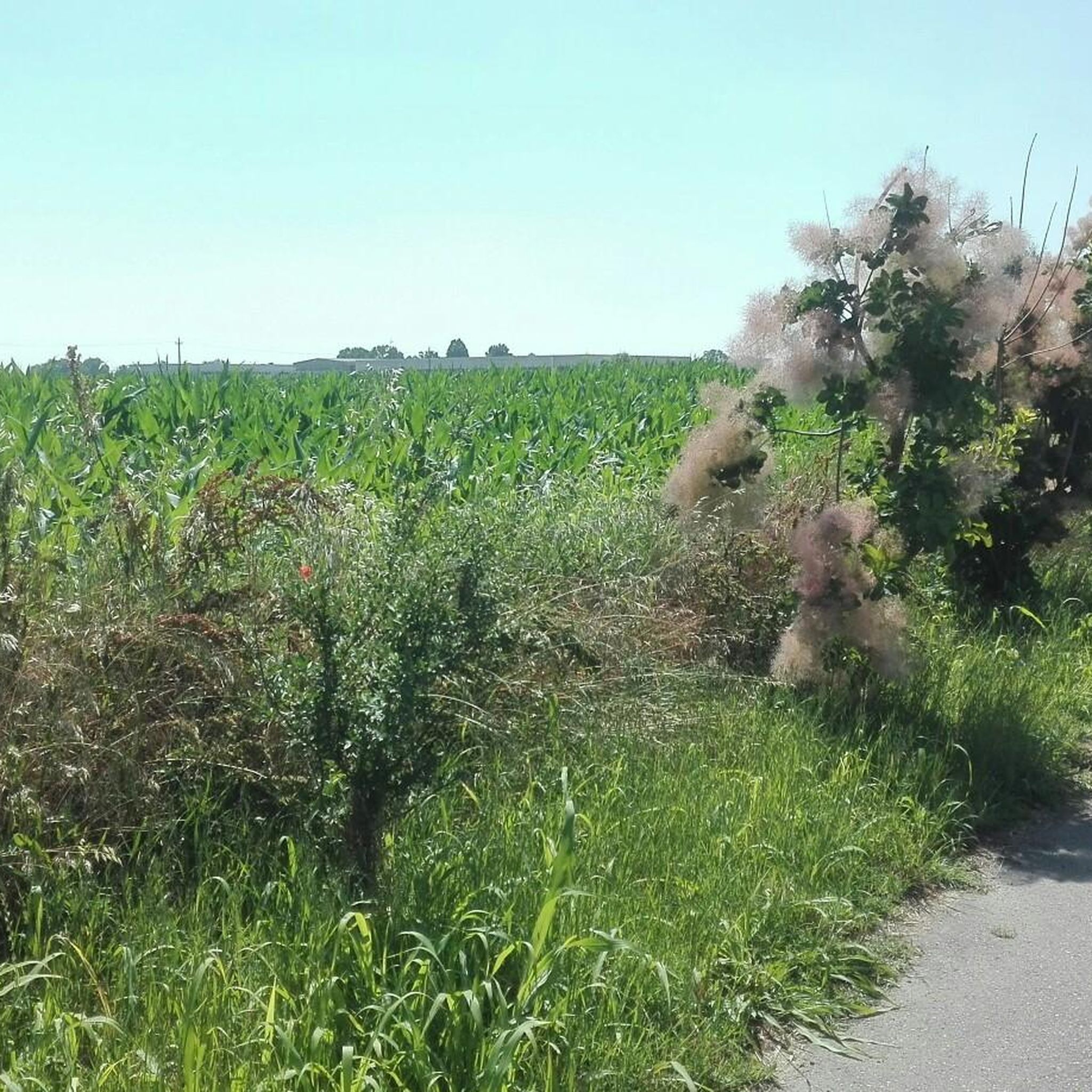
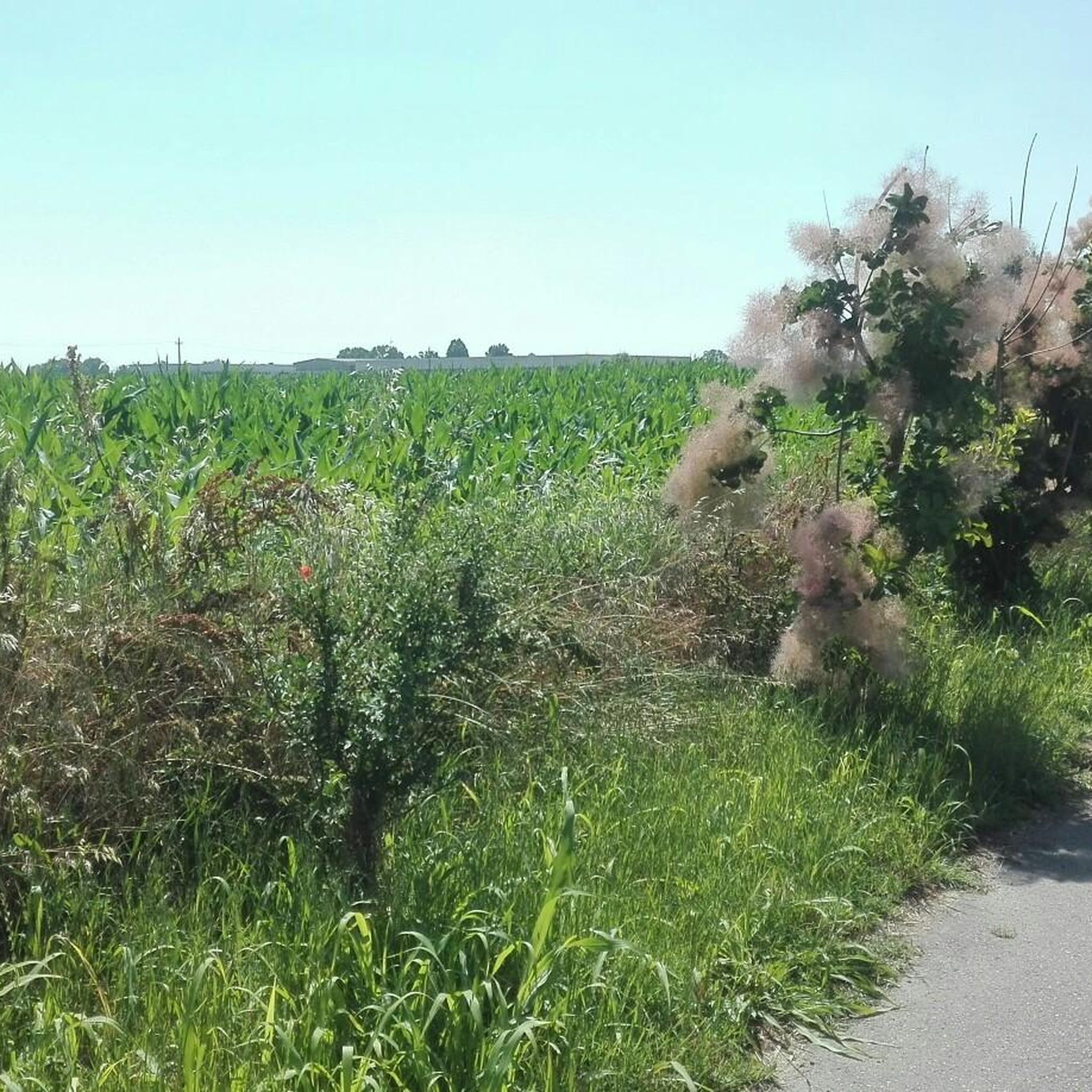
Trails and single tracks on the way there, immersed in nature.
0
0

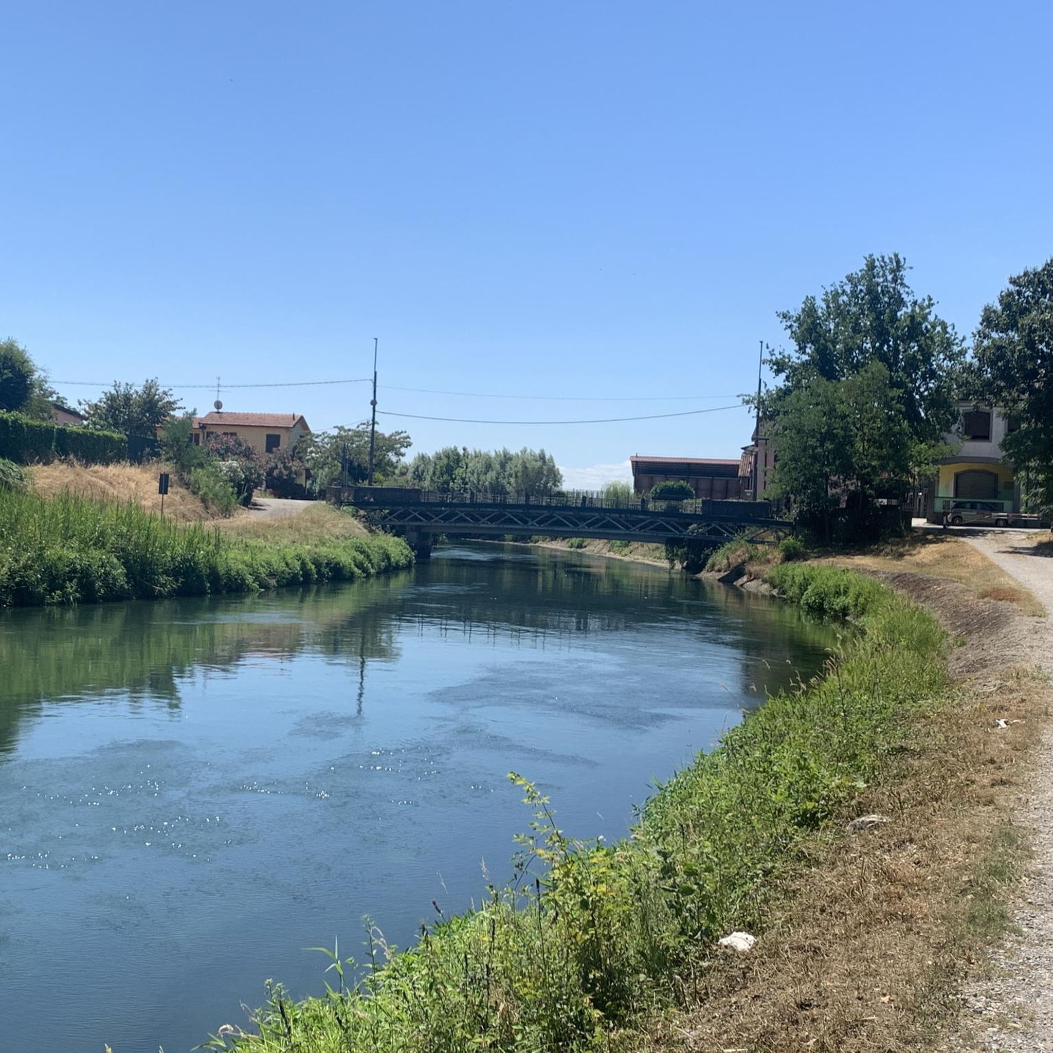
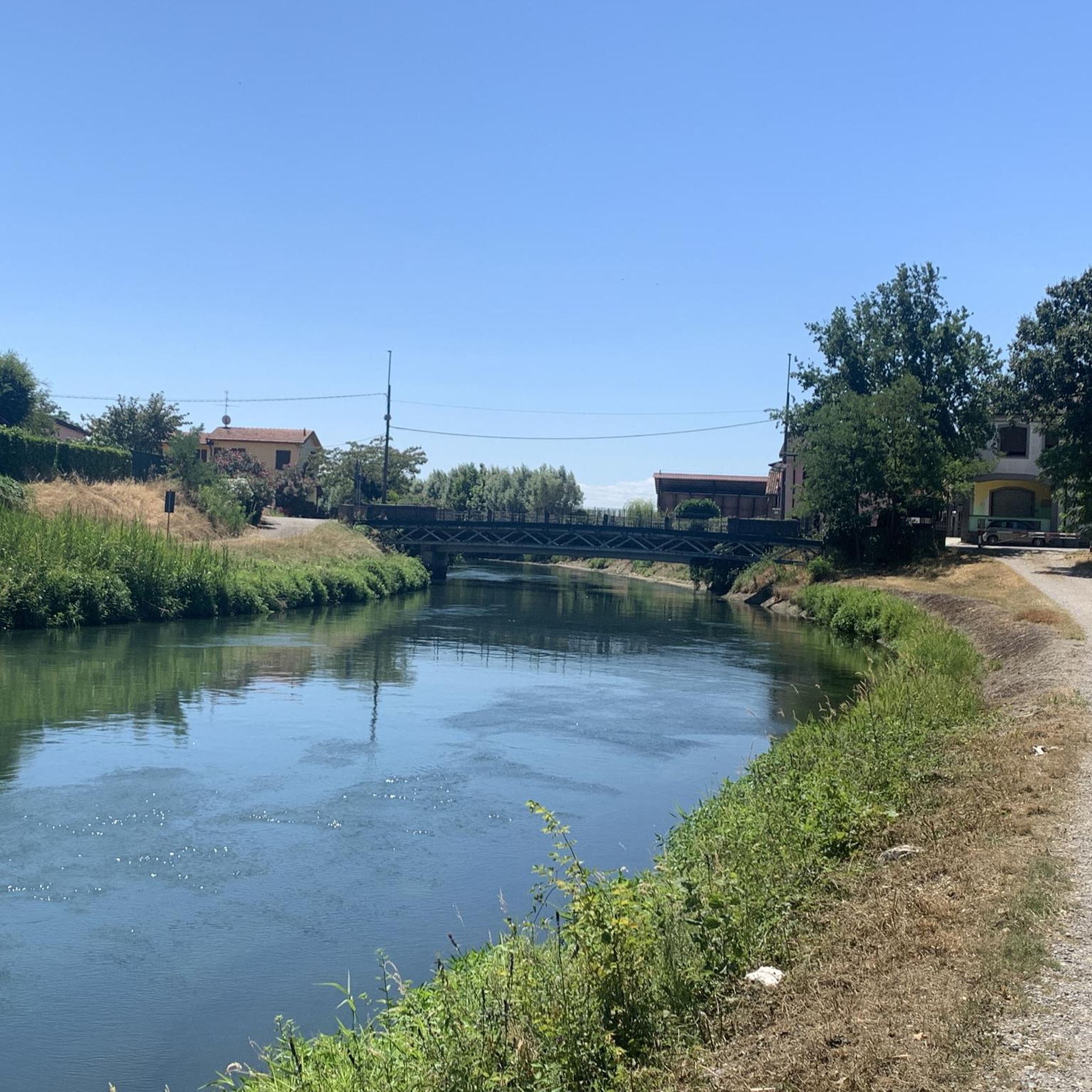
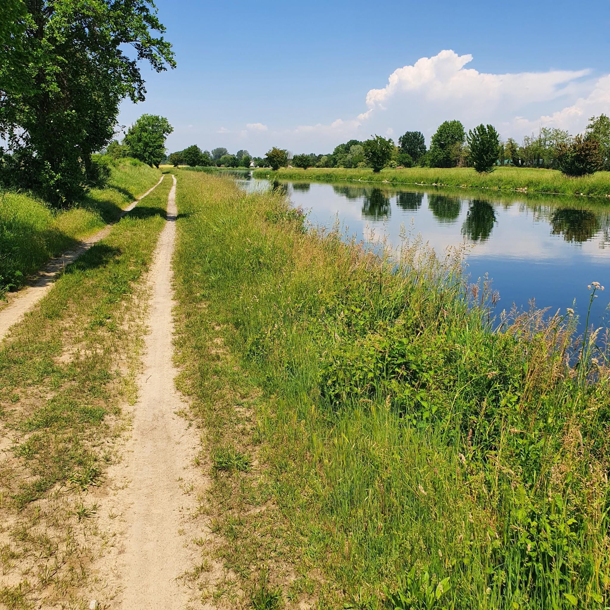
The Muzza Canal, also known as Canale della Muzza, originates near the Castello di Cassano d’Adda, where it draws water from the Adda river. After a course of about 39 km, it flows back into the Adda near Castiglione. Considered an important hydraulic engineering work at a European level, the Muzza Canal is among the oldest in Europe, with about 800 years of history, and is the largest in Northern Italy. Crossing the landscapes of the Po Valley, the canal contributes to the irrigation of the surrounding lands of the Lodi area and preserves precious patches of woodland vegetation, which characterize the Lombard territory. An ideal place to explore the beauty of nature and discover the agricultural history of the region!
1
0
The Muzza Canal, also known as Canale della Muzza, originates near the Castle of Cassano d’Adda, where it draws water from the Adda River. After a journey of about 39 km, it flows back into the Adda near Castiglione. Considered an important hydraulic engineering work at a European level, the Muzza Canal is among the oldest in Europe, with about 800 years of history, and is the largest in Northern Italy. Crossing the landscapes of the Po Valley, the canal contributes to the irrigation of the surrounding lands of the Lodi area and preserves precious patches of woodland vegetation, which characterize the Lombardy region. An ideal place to explore the beauty of nature and discover the agricultural history of the region!
0
0

The Canale della Muzza is an important hydraulic work from the 12th-13th century that branches off the Adda river in Cassano d'Adda and extends for about 39 km to Castiglione d'Adda. It is one of the oldest and largest irrigation canals in Europe, fundamental for Lodi's agriculture, now also flanked by cycle paths.
1
0

Arriving from Lodi along the cycle path on the embankment in the direction of Zelo (or Rivolta) a suggestive point
0
0

Any trail that winds through its vicinity is wonderful, a shame about the interruption between Zelo and Galgagnano of the path due to the hunting area, incidentally a beautiful place part of the ADDA sud Park but inexplicably in the hands of one or more private individuals who have made it their "hunting park" by fencing it all in. I happened to get inside by mistake, finding one of the numerous open gates and could no longer get out, finding the others closed, receiving a couple of shots in the air behind my back to make me understand that I was not welcome! A real shame because it interrupts the descent from Zelo towards Lodi along the Adda. Beyond the "hunting park" I believe that the passage along the river (state-owned area!!) SHOULD always be guaranteed without any ifs or buts!
2
0
The Adda River is the fourth longest watercourse in Italy with its 313 kilometers and is entirely contained within the Lombardy region. It represents one of the main left tributaries of the Po River and has a very large hydrographic basin that covers about a third of the regional territory.
0
0
The Adda River is the fourth longest watercourse in Italy with its 313 kilometers and is entirely within the Lombardy region. It represents one of the main left tributaries of the Po River and has a very large hydrographic basin that covers about a third of the regional territory
1
0
Frequently Asked Questions
How many gravel bike trails are available around Casalmaiocco?
There are over 45 gravel bike trails around Casalmaiocco, offering a variety of options for different skill levels. You'll find 11 easy routes, 27 moderate routes, and 10 more challenging trails.
What kind of landscapes can I expect on gravel bike trails near Casalmaiocco?
The gravel bike trails around Casalmaiocco are characterized by tranquil rural and agricultural landscapes within the flat Po Valley. You'll primarily ride along quiet country roads, unpaved paths, and historic canal networks like the Muzza Canal and Vacchelli Canal, offering scenic views away from heavy traffic.
Are there any historical or natural landmarks to see along the gravel trails?
Yes, several routes pass by interesting points. You can explore the area around the Vacchelli Canal entrance or cross the historic Old Adda River Bridge. The Gravel Path Along the Muzza Canal is also a notable feature. For historical architecture, the Castello di Peschiera Borromeo is located nearby.
What is the best time of year for gravel biking in Casalmaiocco?
The best times for gravel biking in Casalmaiocco are typically spring and autumn. During these seasons, the weather is pleasant, making for comfortable rides through the agricultural fields and along the canals. Summer can be quite warm, and winter might bring colder, potentially damp conditions.
Are there family-friendly gravel biking options in Casalmaiocco?
Given the predominantly flat terrain and extensive network of quiet country roads and canal paths, many routes are suitable for families. The historic canal paths, especially along the Muzza Canal, offer smooth and compact surfaces, ideal for a relaxed and scenic ride with children.
Can I find routes that follow the historic Muzza Canal?
Absolutely. The Muzza Canal is a highlight for gravel bikers in the region. A popular option is the Muzza Canal Riverside Path – Adda River loop from Tavazzano, which offers scenic views along its banks on smooth, compact dirt roads.
What are the typical lengths and durations of gravel bike routes in this area?
Gravel bike routes around Casalmaiocco vary in length. For example, the Old Adda River Bridge – Bridge over the Adda in Lodi loop from Melegnano is about 38.7 miles (62.2 km) and takes around 4 hours 32 minutes. Longer routes, like the Bridge over the Adda in Lodi – Cascina Villambrera loop from Melegnano, can extend to over 60 miles (100 km).
What do other gravel bikers enjoy the most about gravel biking in Casalmaiocco?
The area is highly rated by the komoot community, with an average score of 4.1 stars from over 60 reviews. Riders often praise the tranquil rural landscapes, the well-maintained canal paths, and the generally flat terrain that makes for accessible and enjoyable rides.
Are there any challenging gravel routes for experienced riders?
Yes, for experienced riders seeking a challenge, there are several difficult routes. The Adda River – Vacchelli Canal entrance loop from Melegnano is a difficult 44.9 miles (72.2 km) path that explores varied unpaved surfaces around the Adda River and the Vacchelli Canal entrance.
Are there options for shorter or moderate gravel rides?
Certainly. Many routes offer moderate difficulty and manageable distances. For instance, the Cascina Villambrera – Bridge over the Adda in Lodi loop from Melegnano is a moderate 37-mile (59.6 km) route that can be completed in under 4 hours, offering a good balance of distance and effort.
Is it possible to find loop routes for gravel biking in Casalmaiocco?
Yes, many of the gravel bike trails in the Casalmaiocco area are designed as loops, allowing you to start and finish at the same point. This is convenient for planning your ride, especially if you're driving to a starting point.
Most popular routes around Casalmaiocco
Most popular attractions around Casalmaiocco

Get inspired with the komoot mobile app


Explore more
Browse the best Gravel rides in other regions.
