The best gravel rides around Entracque
4.6
(52)
480
riders
12
rides
Gravel biking around Entracque offers challenging routes through the Maritime Alps, characterized by significant elevation changes and alpine terrain. The region features high mountain passes, forested valleys, and rugged landscapes, providing a demanding environment for gravel cyclists. These trails often traverse remote areas, connecting small mountain communities and historical sites. The varied topography ensures a diverse gravel biking experience, from sustained climbs to technical descents.
Best gravel bike trails around Entracque
- The most popular gravel bike trail is Colle della…
Last updated: September 26, 2026
4.5
(15)
127
riders
34.3km
02:50
1,110m
1,110m
Hard gravel ride. Very good fitness required. Mostly paved surfaces. Suitable for all skill levels.
4.8
(6)
55
riders
59.8km
04:54
1,940m
1,940m
Hard gravel ride. Very good fitness required. Mostly paved surfaces. Suitable for all skill levels.

4.5
(2)
22
riders
30.9km
02:39
1,010m
1,010m
Hard gravel ride. Very good fitness required. Mostly paved surfaces. Suitable for all skill levels.
4.0
(1)
13
riders
31.6km
02:30
980m
980m
Hard gravel ride. Very good fitness required. Mostly paved surfaces. Suitable for all skill levels.
4.5
(2)
21
riders
45.6km
03:04
690m
690m
Hard gravel ride. Very good fitness required. You may need to push your bike for some segments of this route.
Get access to more routes and recommendations from other explorers.
Already have an account?
Our route recommendations are based on thousands of hikes, rides, and runs completed by other people on komoot.
Start today with a free account
Your next adventure awaits.
Popular around Entracque

GTA South Piedmont — Hiking in Italy's Occitan valleys
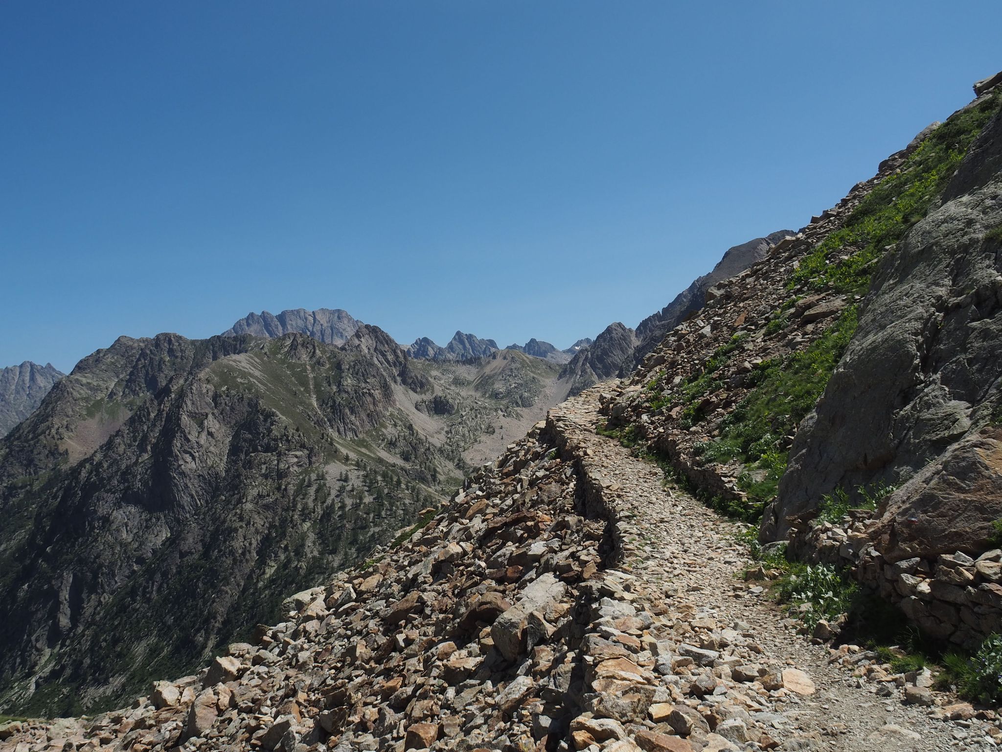
Alta Via dei Re – a fairytale crossing in Italy's Maritime Alps
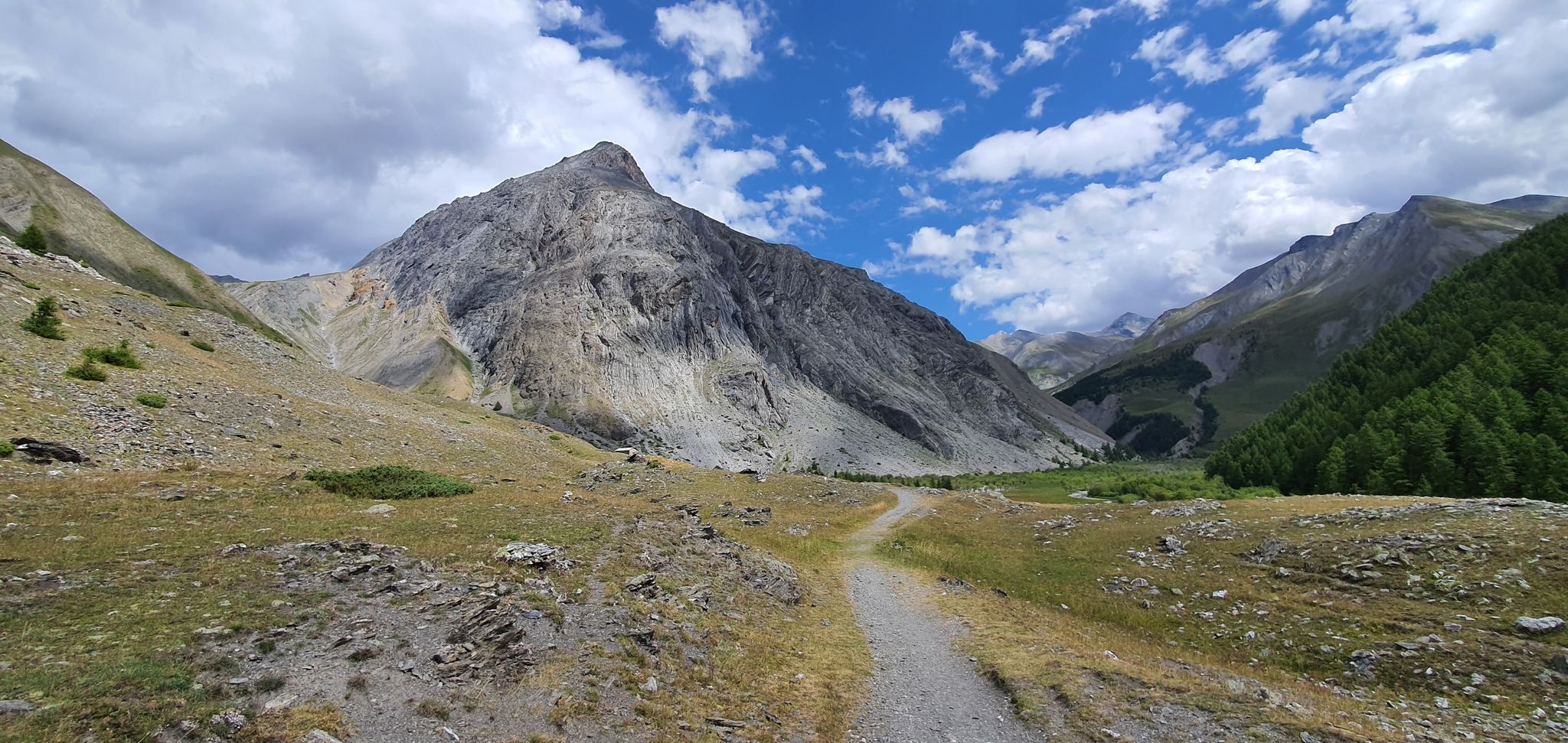
Western trans-alpine crossing – pure adventure on your mountain bike
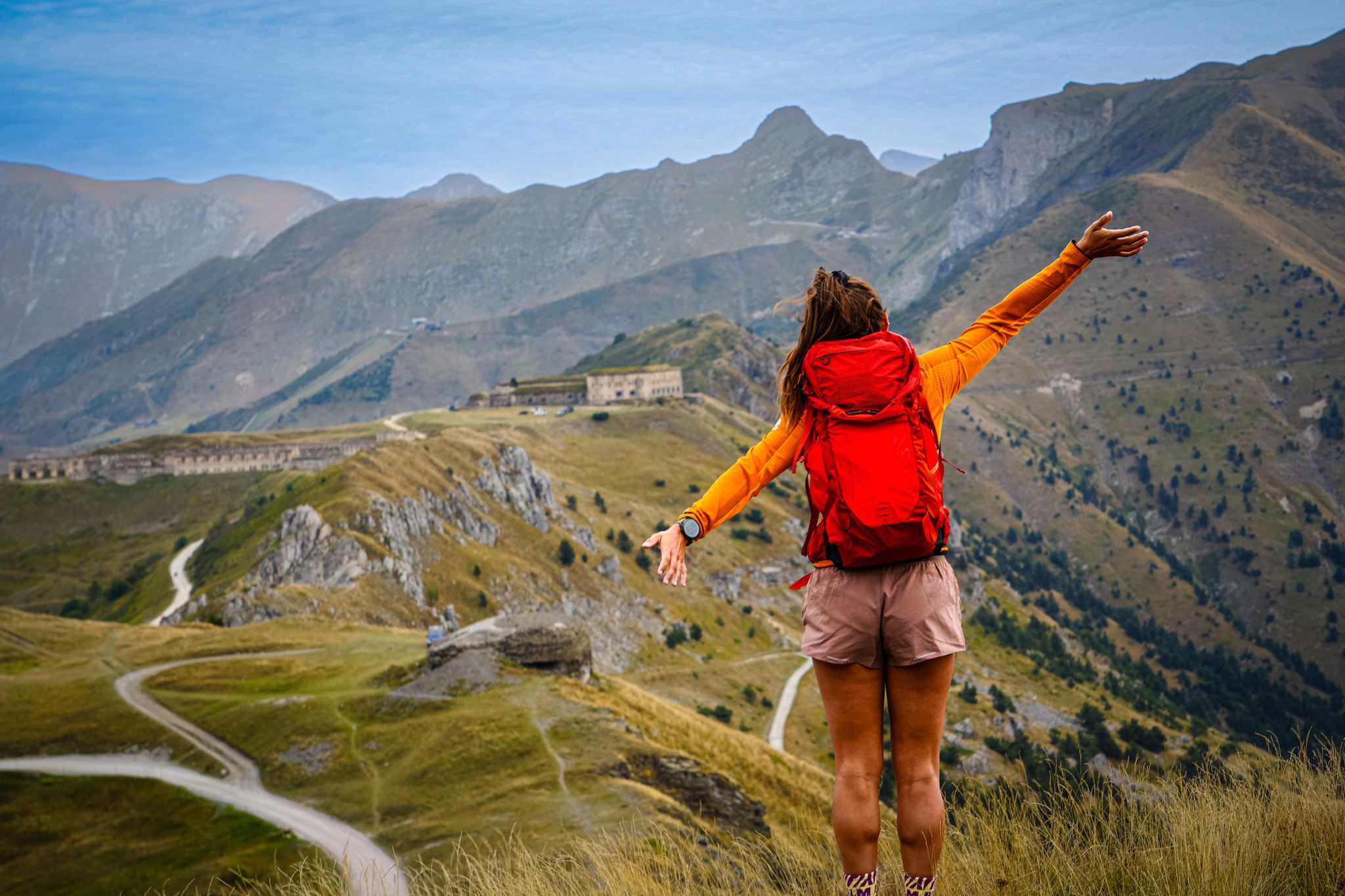
RivierALP – great hikes between the Alps and the Mediterranean
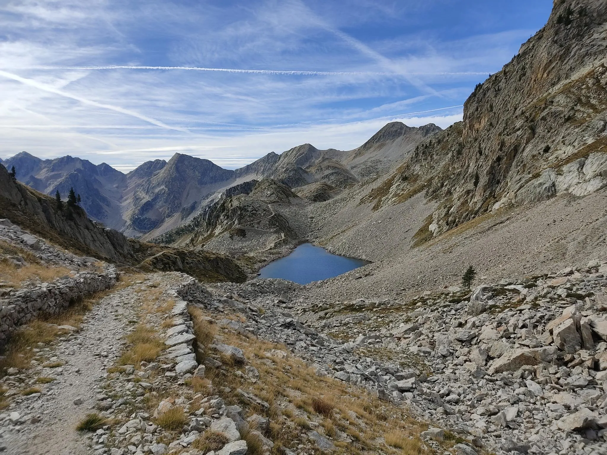
Through the crystalline Argentera massif – Italy’s Alta Via dei Re
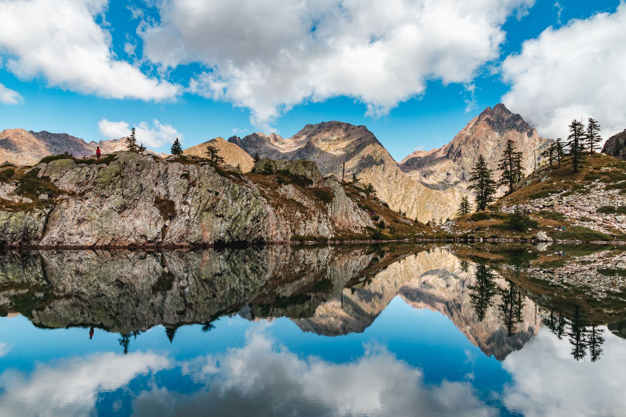
Exploring 11 lakes — 5 hikes in Italy’s Alpi Marittime Nature Park
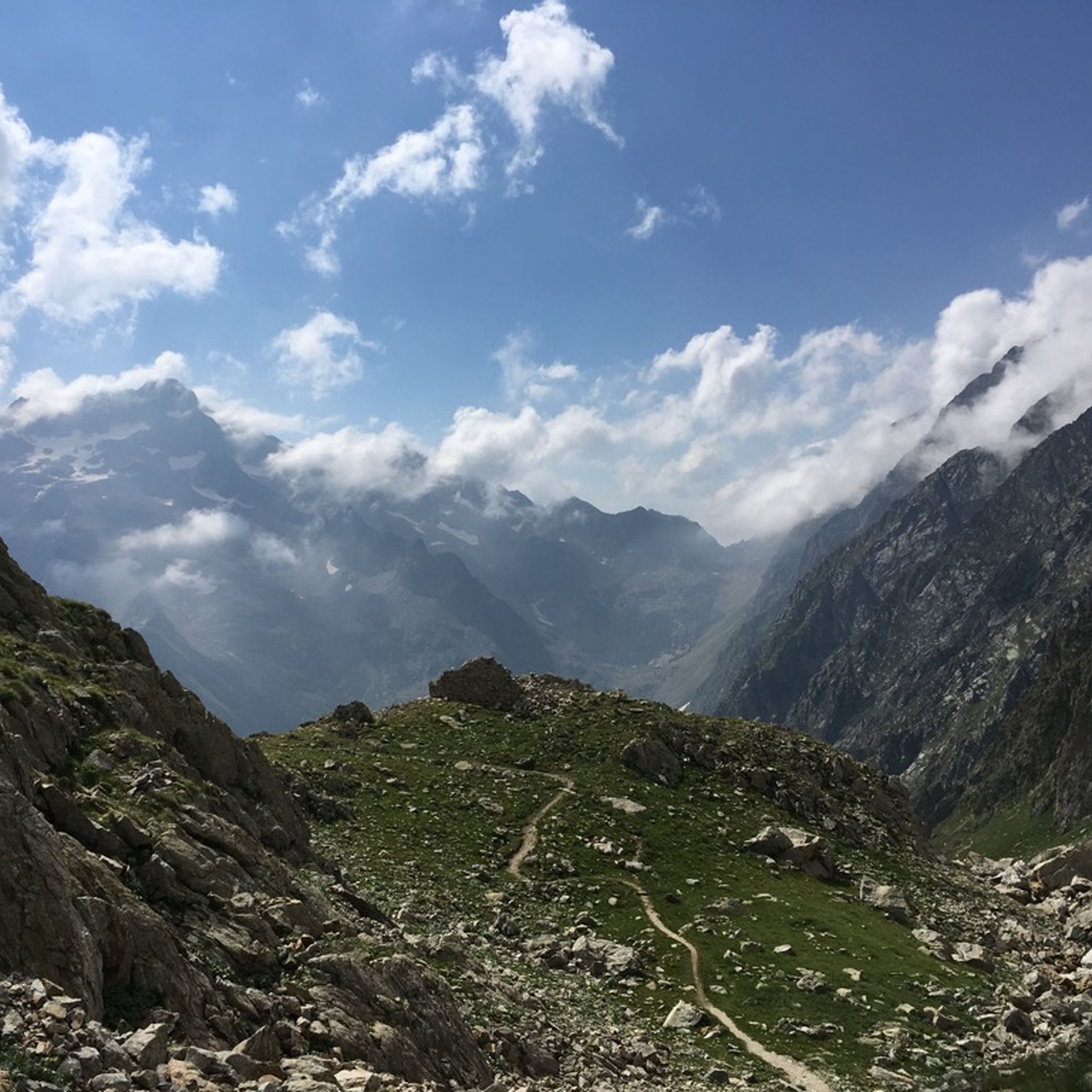
Hiking around Entracque
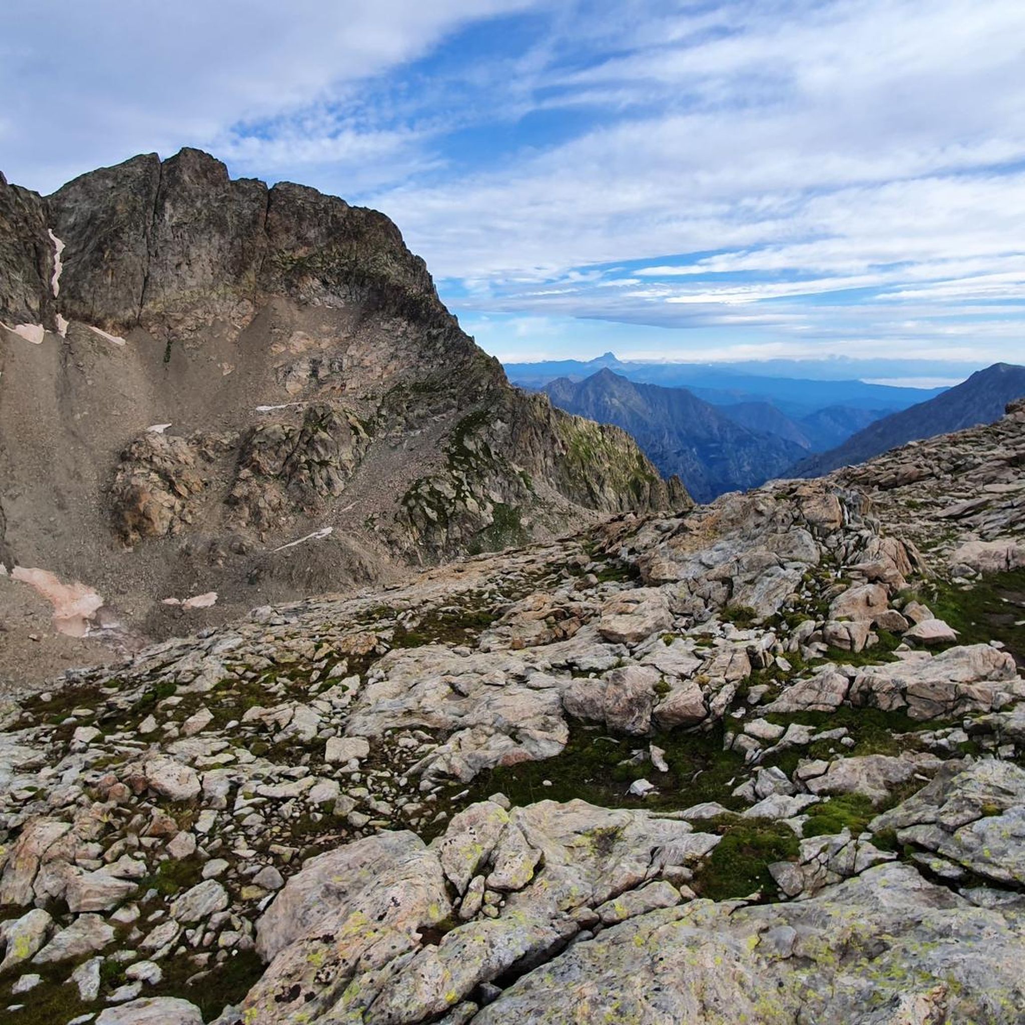
MTB Trails around Entracque
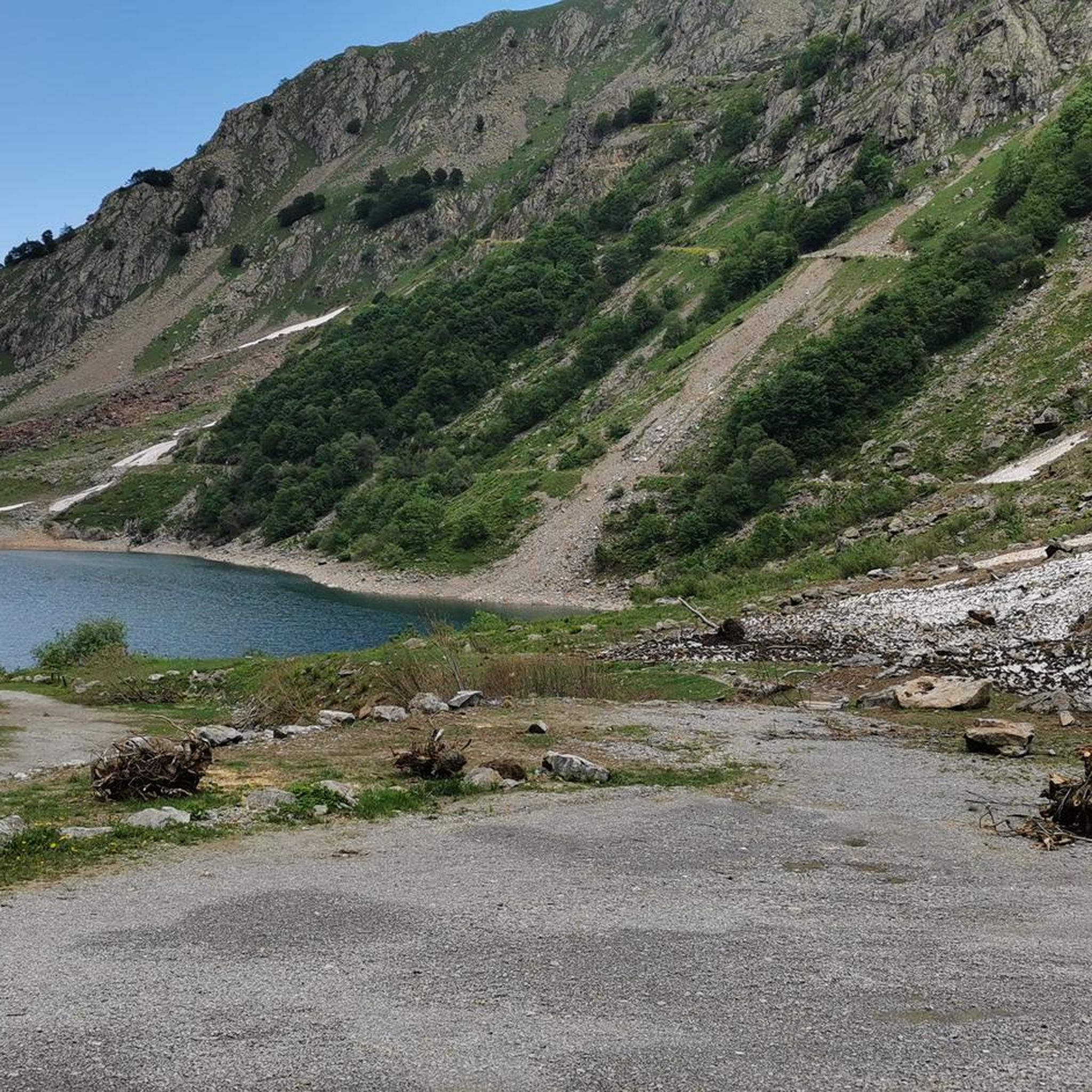
Road Cycling Routes around Entracque
Cycling around Entracque
Other adventures around Entracque


Tips from the Community

Special to see the fort from this angle. Looks a bit unreal, as if it came straight out of a movie scene.
0
0

The Col de Boarïa is an ancient pastoral pass in the Ligurian Alps, culminating at about 2,100 meters above sea level. Once used for transhumance and exchanges between alpine valleys, it connected routes near the Franco-Italian border.
1
1

The most important and intact fortified complex
0
0
Another fabulous pass on a wonderful road
1
0
The first tunnel to build a road under the Col di Tenda
1
0
Beautiful town, tidy and clean
0
0

Great spot for a break and panoramic photos, an iconic and unique hairpin bend
1
0

The famous and much photographed hairpin bend
1
0
Frequently Asked Questions
What is the general difficulty level of gravel biking in Entracque?
Gravel biking around Entracque is primarily suited for advanced riders. The region features challenging routes through the Maritime Alps, characterized by significant elevation changes and rugged alpine terrain. All 10 available routes are rated as difficult, offering demanding climbs and technical descents.
Are there any family-friendly gravel bike trails in Entracque?
Given the challenging nature of the terrain and the significant elevation changes, most gravel bike trails in Entracque are not typically considered family-friendly. The routes are primarily designed for experienced gravel bikers seeking demanding alpine experiences.
What kind of distances and elevations can I expect on Entracque's gravel routes?
The gravel routes in Entracque vary in length and elevation, generally offering substantial challenges. For example, the Limone Piemonte town centre – Chalet Le Marmotte loop from Limone Piemonte covers nearly 60 km with over 1900 meters of ascent, while the Colle della Perla – Colle della Boaria loop from Limonetto is about 34 km with over 1100 meters of climbing.
What is the best time of year for gravel biking in Entracque?
The best time for gravel biking in Entracque is typically from late spring through early autumn (June to September). During these months, the high mountain passes are generally clear of snow, and the weather is more stable. Winter conditions can make many routes inaccessible due to snow and ice.
Are there any circular gravel bike routes in the Entracque area?
Yes, many of the gravel bike routes around Entracque are designed as loops. For instance, the Chalet Le Marmotte – Forte Margheria loop from Limone Piemonte offers a 50 km circular journey through high mountain passes.
What are some notable viewpoints or natural attractions along the gravel trails?
The routes often provide panoramic views of the Maritime Alps. You can also find natural attractions like waterfalls. Consider visiting the Tancias Waterfall or the Valasco Stream Waterfall, which are highlights in the region.
Where can I find parking near the gravel bike trailheads in Entracque?
Parking availability varies by trailhead. Many routes, especially those starting from towns like Limone Piemonte or Cime de Pépin, will have designated parking areas. It's advisable to check the specific tour details on komoot for parking suggestions near your chosen starting point.
What do other gravel bikers enjoy most about the Entracque region?
The Entracque area is highly rated by the komoot community, with an average score of 4.6 stars from over 20 reviews. Reviewers often praise the challenging alpine scenery, the extensive mountain landscapes, and the demanding nature of the climbs, which provide a rewarding experience for advanced riders.
Are there any historical sites or landmarks accessible by gravel bike?
Yes, some routes pass by historical structures. For example, the Col de Tende Hairpin Road – Fort Tabourde loop from Cime de Pépin includes historical forts. Additionally, the Sanctuary of Madonna del Colletto is a notable religious building in the wider region that can be part of a scenic ride.
Are there any hidden gem gravel bike trails in Entracque?
While all routes offer unique alpine experiences, the Lower Peirafica – Forte Margheria loop from Castérino is a less frequently mentioned but equally demanding route. It covers over 31 km with nearly 1000 meters of elevation gain, leading through rugged landscapes and offering a sense of discovery.
Most popular routes around Entracque
Most popular attractions around Entracque

Get inspired with the komoot mobile app


Explore more
Browse the best Gravel rides in other regions.
