The best gravel rides around Quinto Di Treviso
4.5
(627)
5,024
riders
108
rides
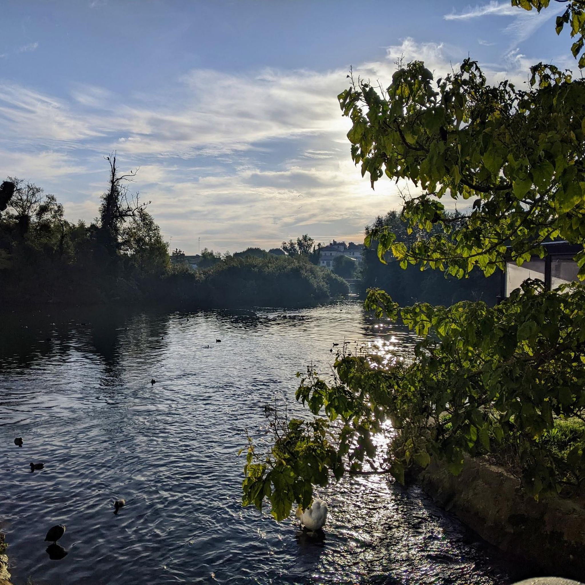
Gravel biking around Quinto Di Treviso is characterized by its flat, fertile plains and proximity to the Sile River, offering an extensive network of cycling paths. The region features the Sile River Regional Natural Park, known for its unpaved routes ideal for gravel bikes, and marsh areas like Oasi Cervara. The terrain is generally low-elevation, with routes following riverbanks and through agricultural areas, providing a mix of natural exploration and historical points of interest. These landscapes include wooded areas and the notable Treviso-Ostiglia Cycle Path.
Best gravel bike trails around Quinto Di Treviso
- The most popular gravel bike trail is Entrance to Storga Park – La Militare Road on Montello loop from Paese, a 48.2 miles (77.6 km) trail that takes 5 hours 25 minutes to complete. This route connects to a well-known cycle path, offering a smooth gravel experience.
- Another top favourite among local gravel bikers is Todori Mill – Todari Mill loop from Paese, a moderate 24.9 miles (40.1 km) path. This route passes by historical mills, providing a glimpse into the region's heritage along the Sile River.
- Local gravel bikers also love the Stradon del Bosco – Canale del Bosco Cycle Path loop from Paese, a 41.9 miles (67.5 km) trail leading through wooded areas and along waterways, often completed in about 4 hours 38 minutes.
- Gravel biking around Quinto Di Treviso is defined by serene river landscapes, flat plains, and historical mill routes. The network offers options for different ability levels, from easy rides along the Sile to longer, more moderate excursions.
- The routes in Quinto Di Treviso are highly rated by the komoot community with an average score of 4.4 stars from over 600 reviews. More than 5000 gravel bikers have used komoot to explore Quinto Di Treviso's varied terrain.
Last updated: July 8, 2026
4.3
(4)
58
riders
107km
05:42
380m
380m
Hard gravel ride. Very good fitness required. Mostly paved surfaces. Suitable for all skill levels.
4.0
(3)
47
riders
Easy gravel ride. Great for any fitness level. Mostly paved surfaces. Suitable for all skill levels.

Sign up for free
4.3
(3)
24
riders
62.1km
03:28
140m
140m
Moderate gravel ride. Good fitness required. Mostly paved surfaces. Suitable for all skill levels.
4.0
(1)
24
riders
Moderate gravel ride. Good fitness required. Mostly paved surfaces. Suitable for all skill levels.
5.0
(1)
17
riders
61.5km
03:43
110m
110m
Moderate gravel ride. Good fitness required. Mostly paved surfaces. Suitable for all skill levels.
Get access to more routes and recommendations from other explorers.
Sign up for free
Already have an account?
Our route recommendations are based on thousands of hikes, rides, and runs completed by other people on komoot.
Start today with a free account
Your next adventure awaits.
Login or Signup
Tips from the Community

Considered the "little sister" of the contemporary porta San Tomaso, it is located at the end of Borgo Cavour. It presents itself with its Istrian stone facade with three arches. On the external facade, the representation that stands out above all is the winged lion, symbol of Venice's power over the mainland. It takes its name from the nearby church dedicated to the Forty Martyrs of Sebaste. It was built in 1516, perhaps on a design by Alessandro Leopardi,
13
0

The Ciclovia "La Tradotta" is a fascinating 18-kilometer cycle and pedestrian path that connects Montebelluna to Nervesa della Battaglia, at the foot of Montello. This flat route follows the path of a historic military railway used during the Great War to supply the Piave front. Today, the trail, immersed in greenery and almost entirely unpaved, is an ideal destination for families and gravel or trekking bike enthusiasts. Along the way, you can breathe in history thanks to old railway houses, railway relics, and underpasses decorated with period murals. Well-equipped with water fountains, the route ends near Nervesa della Battaglia, where you can explore the evocative remains of the Abbey of Sant'Eustachio or the Military Shrine, crowning the excursion with a regenerating stop at the typical agriturismos of the area.
0
0
The Ciclovia "La Tradotta" is a fascinating cycle and pedestrian path of about 18 kilometers that connects Montebelluna to Nervesa della Battaglia, at the foot of Montello. This flat route runs along the trackbed of a historic military railway used during the Great War to supply the Piave front. Today, the path, immersed in greenery and almost entirely unpaved, is an ideal destination for families and fans of gravel or trekking bikes. Along the way, you can breathe in history thanks to old railway houses, railway memorabilia, and underpasses decorated with period murals. Well-equipped with water fountains, the route ends near Nervesa della Battaglia, where you can explore the evocative remains of the Abbey of Sant'Eustachio or the Military Shrine, crowning the excursion with a regenerating stop at the typical farmhouses of the area.
0
0
Built in 1517 under the direction of the podestà Bartolomeo d'Alviano, Porta Santi Quaranta represents the monumental entrance to Treviso for those coming from the west (Padua or Vicenza). Together with Porta San Tommaso, it is one of the symbols of the defensive rebirth of the city carried out by the Republic of Venice in the 16th century. The name pays homage to the forty Christian soldiers martyred in Armenia, but during the period of Austrian rule it was renamed Porta Vendramin. The external facade, made of Istrian stone, follows a sober and elegant Renaissance style, with three arches, the central one intended for carts and the two side ones for pedestrians. Above the main arch stands the winged lion of Saint Mark, a symbol of Venetian power. A significant historical detail is the inscription celebrating the Serenissima's right to defend its borders. Today it marks the entrance to the Borgo Cavour district and is an integral part of the panoramic walk along the 16th-century walls.
3
0
The "La Tradotta" cycle path is a suggestive 20-kilometer cycle and pedestrian route that follows the track of the old Montebelluna-Susegana military railway. The name derives from the trains that, during the Great War, transported troops and supplies towards the Piave front. The route, predominantly flat and immersed in greenery, connects Montebelluna to Nervesa della Battaglia, running along the slopes of Montello. Along the way, you will encounter the remains of old signal boxes and stations, as well as historical monuments and educational panels that recount the events of 1917-18. It is an ideal itinerary for families and history enthusiasts, offering a direct link between modern slow mobility and the memory of the Treviso territory.
0
0
The "La Tradotta" cycle-pedestrian path winds for about 20 kilometers in the province of Treviso, following the old military railway line used during the Great War between Montebelluna and Susegana. This flat and protected route crosses the municipalities of Montello, offering a total immersion between nature and historical memory. The path is ideal for families and cycle tourists thanks to the absence of slopes and the safety of the route, which allows you to observe old recovered railway houses and valuable agricultural landscapes. Today it represents a fundamental green corridor that connects the historical heritage of the Piave river with the natural beauty of the hills of Treviso.
0
0

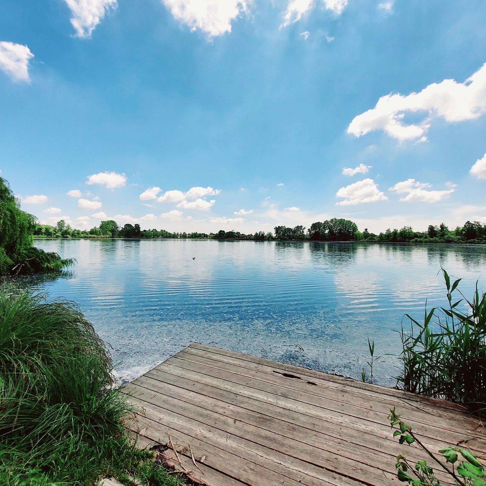
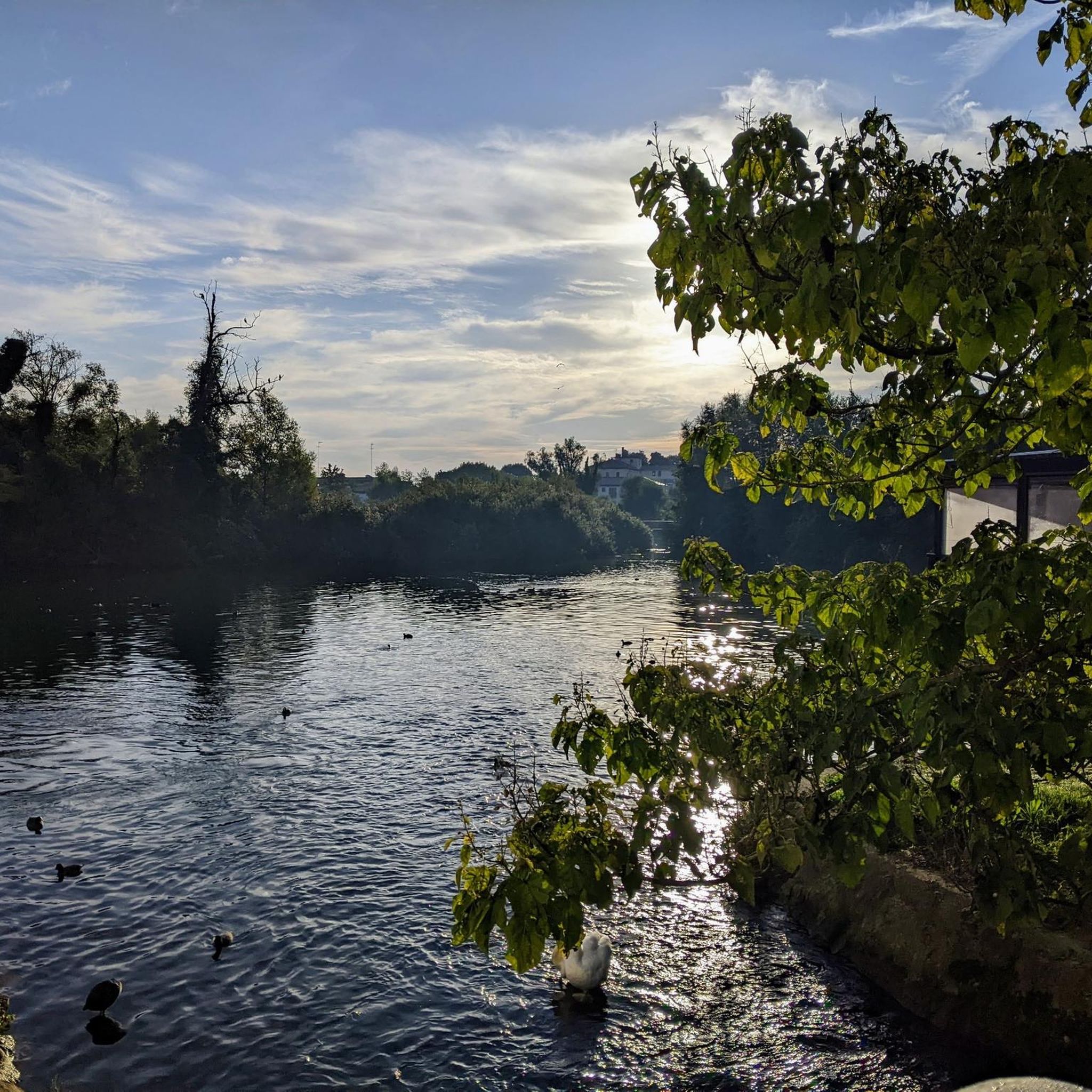
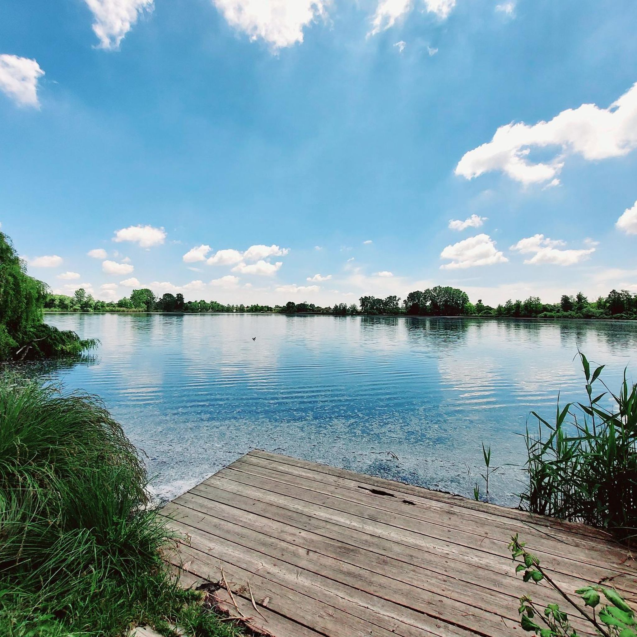
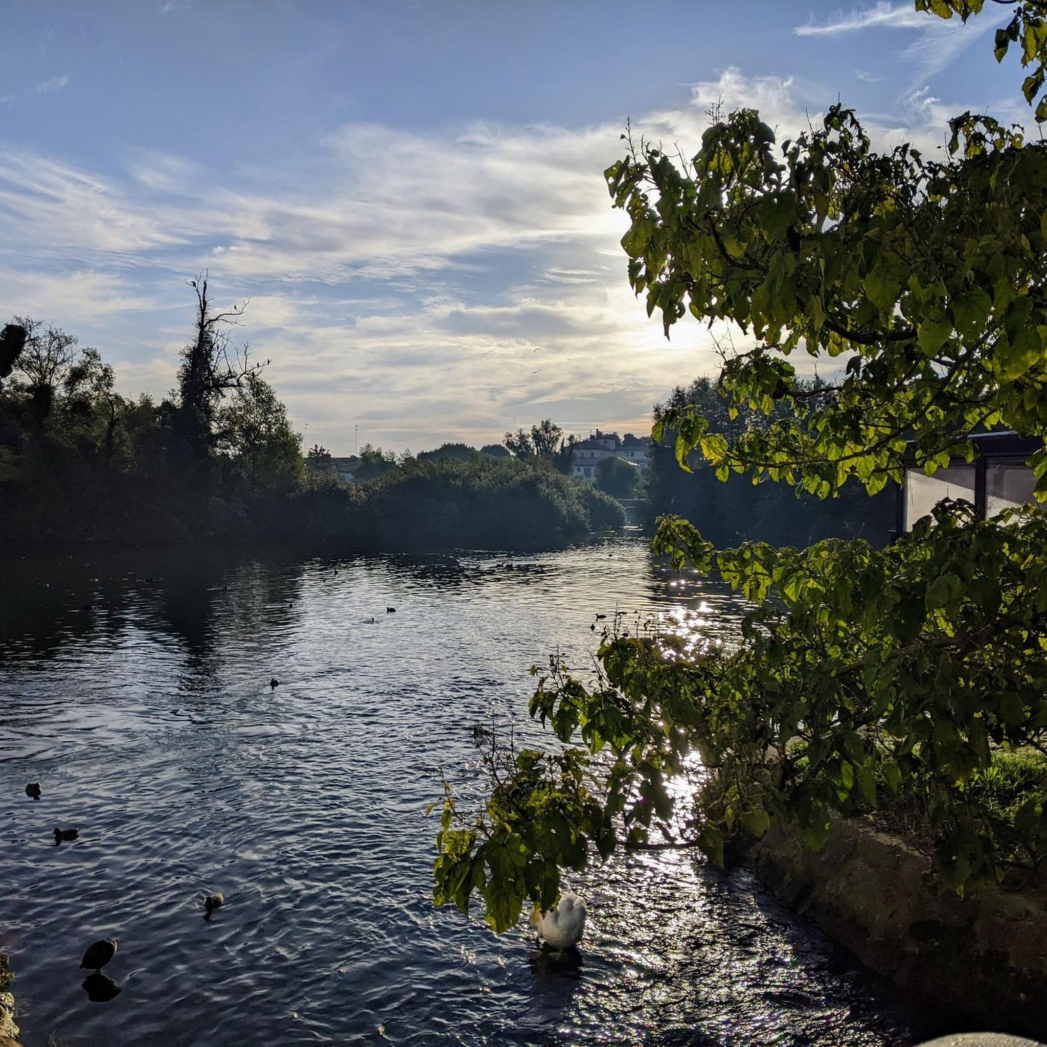
A few kilometers were enough for the route to begin to tell its story. The creaking wood of a long bridge accompanied us towards one of the most silent and memory-laden places: the cemetery of the Burci. Amidst the still water and the vegetation that now reclaims every space, the wrecks of old boats emerge like forgotten thoughts, suspended between past and present. There time seems to slow down, almost to stop, and we too, for a moment, truly stop pedaling...
0
0

Very well maintained, no potholes. The only negative note is the many stops when crossing roads
0
0
Frequently Asked Questions
What kind of terrain can I expect on gravel bike trails in Quinto Di Treviso?
The gravel bike trails around Quinto Di Treviso are characterized by flat, fertile plains and riverine landscapes, particularly along the Sile River. You'll find extensive networks of cycling paths, including unpaved sections within the Parco Naturale Regionale del Fiume Sile and along the Treviso-Ostiglia Cycle Path. The routes often traverse agricultural areas and wooded sections, offering a generally low-elevation and scenic ride.
Are there any family-friendly gravel biking options in Quinto Di Treviso?
Yes, the region offers several family-friendly gravel biking options, especially due to its predominantly flat terrain. The Treviso-Ostiglia Cycle Path, a former railway line, is particularly suitable as it's mostly flat, shaded, and features both asphalted and gravel sections, making it accessible for various skill levels, including families.
What are some notable natural attractions or landmarks I can see while gravel biking in the area?
While gravel biking around Quinto Di Treviso, you can explore several natural and historical sites. The Sile River itself offers diverse panoramas and ecosystems. You might encounter the beautiful Mulino Cervara Nature Oasis, known for its wetlands and bird species, which also features a 14th-century working mill. Additionally, the region is home to historic mills along the 'Via dei Mulini' (Path of the Mills), showcasing the area's agricultural heritage.
What is the best time of year for gravel biking around Quinto Di Treviso?
The best time for gravel biking around Quinto Di Treviso is generally during spring and autumn. These seasons offer pleasant temperatures and beautiful natural scenery, making for comfortable rides. While summer can also be enjoyable, it's advisable to start earlier in the day to avoid the midday heat. Winter rides are possible, but be prepared for cooler temperatures and potentially damp conditions, especially along riverbanks.
Are there any circular gravel bike routes available?
Yes, many gravel bike routes around Quinto Di Treviso are designed as loops, allowing you to start and end at the same point. An example is the Todori Mill – Todari Mill loop from Paese, which is a moderate 40.1 km path passing by historical mills. This type of route is common, offering convenient exploration of the region's landscapes.
Where can I park my car when starting a gravel bike tour in Quinto Di Treviso?
While specific parking locations vary by starting point, Quinto Di Treviso and nearby towns like Paese, which serve as common starting points for many routes, typically offer public parking options. Look for designated parking areas near trailheads or in town centers. For routes like those connecting to the Treviso-Ostiglia Cycle Path, there are often parking facilities available at access points.
What do other gravel bikers enjoy most about the trails in Quinto Di Treviso?
The gravel biking experience in Quinto Di Treviso is highly rated by the komoot community, with an average score of 4.5 stars from over 680 reviews. Riders often praise the serene river landscapes, the flat and accessible terrain, and the opportunity to discover historical mills and natural parks. The blend of natural exploration with cultural points of interest is a recurring highlight.
Are there any routes that offer views of the Piave River?
Yes, some longer gravel routes extend towards the Piave River, offering different scenery. For example, the Isola dei Morti Memorial – Piave River Trail loop from Paese is a more challenging 82.6 km route that includes sections along the Piave River, providing views of this significant waterway and historical sites like the Isola dei Morti Memorial.
Can I find cafes or amenities along the gravel bike trails?
Yes, especially on routes that pass through or near villages and towns, you can often find cafes, restaurants, and other amenities. The region's focus on tourism and cycling means that many routes are designed to be enjoyable, with opportunities to stop for refreshments. Along the Sile River and near historical mills, you might find charming spots to take a break.
Are there any routes that go through wooded areas?
Absolutely. Many gravel routes in Quinto Di Treviso incorporate wooded sections, providing shade and a different riding experience. The Stradon del Bosco – Canale del Bosco Cycle Path loop from Paese is a prime example, leading through wooded areas and along waterways, offering a refreshing natural environment.
How many gravel bike trails are available around Quinto Di Treviso?
There are over 230 gravel bike trails available around Quinto Di Treviso, catering to a wide range of preferences and skill levels. This extensive network includes routes classified as easy, moderate, and difficult, ensuring there's something for every gravel biking enthusiast.
What is the difficulty level of gravel biking in Quinto Di Treviso?
Gravel biking in Quinto Di Treviso offers a range of difficulty levels. The terrain is generally low-elevation and flat, making many routes accessible for beginners and families. However, there are also longer and more challenging routes, such as the Murazzi Pathway – Gravel Route Along the Piave loop from Paese, which is a difficult 79.4 km ride. You can find options from easy to difficult, depending on your experience.
Most popular routes around Quinto Di Treviso
Most popular attractions around Quinto Di Treviso

Get inspired with the komoot mobile app


Explore more
Browse the best Gravel rides in other regions.
