The best gravel rides around Santa Maria Di Sala
4.4
(1104)
7,713
riders
123
rides
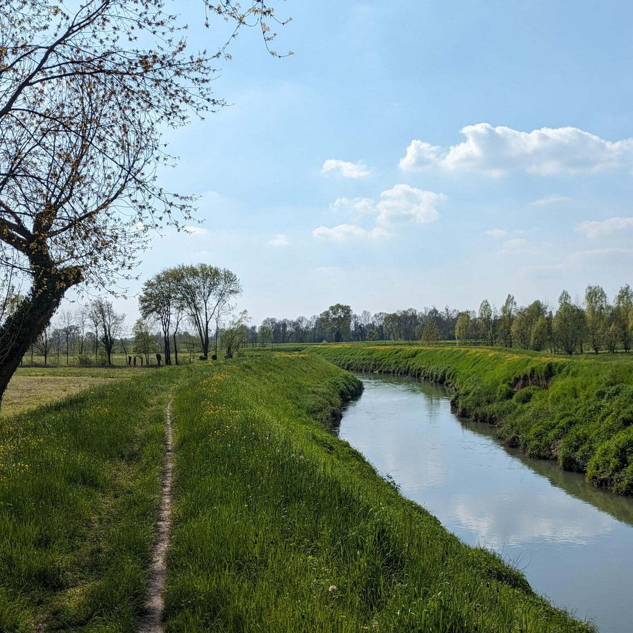
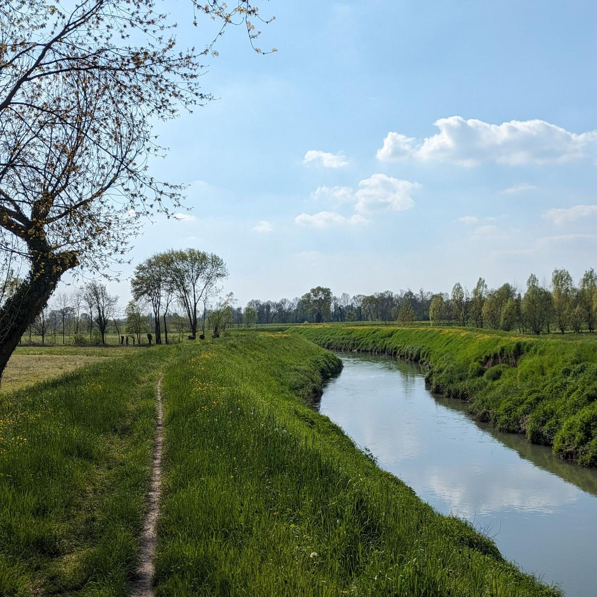
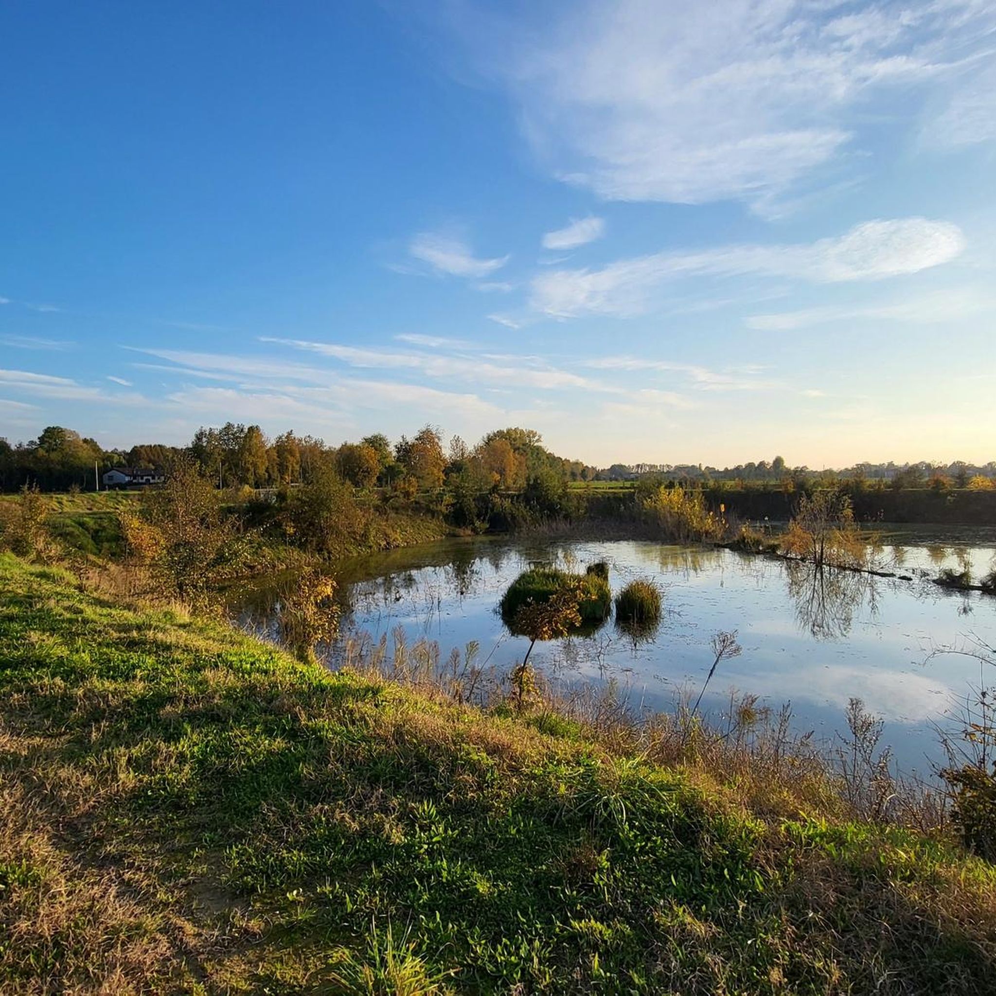
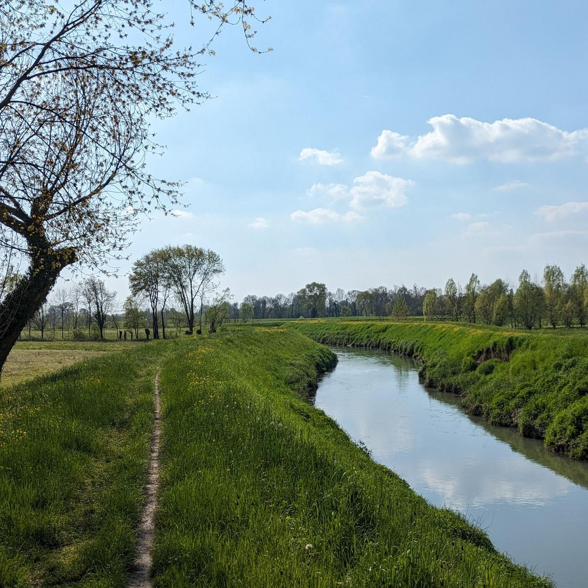
Gravel biking around Santa Maria Di Sala offers routes through a landscape characterized by flat plains, a network of canals, and agricultural scenery. The region's gentle terrain, typical of the Veneto plains, provides accessible cycling options. River trails along the Brenta and Dese rivers offer natural corridors for exploration, often featuring varied surfaces. This area is suitable for gravel cyclists seeking less strenuous rides amidst rural Italian beauty.
Best gravel bike trails around Santa Maria Di Sala
- The most popular…
Last updated: July 8, 2026
4.2
(9)
146
riders
Moderate gravel ride. Good fitness required. Mostly paved surfaces. Suitable for all skill levels.
4.5
(8)
106
riders
57.4km
03:13
80m
80m
Moderate gravel ride. Good fitness required. Mostly paved surfaces. Suitable for all skill levels.

Sign up for free
4.0
(5)
74
riders
130km
06:55
580m
580m
Hard gravel ride. Very good fitness required. You may need to push your bike for some segments of this route.
4.8
(4)
98
riders
Hard gravel ride. Very good fitness required. Mostly paved surfaces. Suitable for all skill levels.
4.5
(10)
91
riders
73.5km
03:57
100m
100m
Hard gravel ride. Good fitness required. You may need to push your bike for some segments of this route.
Get access to more routes and recommendations from other explorers.
Sign up for free
Already have an account?
Our route recommendations are based on thousands of hikes, rides, and runs completed by other people on komoot.
Start today with a free account
Your next adventure awaits.
Login or Signup
Tips from the Community

it's suggestive, but do it in the afternoon
0
0

The "La Tradotta" cycle path is a charming 20-kilometer cycle-pedestrian route that follows the path of the old Montebelluna-Susegana military railway. Inaugurated during the Great War to transport troops and supplies to the Piave front, it is now a green corridor that crosses the municipalities of Montebelluna, Volpago del Montello, Nervesa della Battaglia, and Arcade. The route is characterized by a flat and safe surface, ideal for families, and winds at the foot of the southern slope of Montello. Along the way, you can admire the former railway stations that have been converted and numerous monuments that celebrate the historical memory of the territory. Immersed in a relaxing rural landscape, the path offers several shaded rest stops, strategically connecting to other nature trails in the Treviso area.
0
0
The Treviso-Ostiglia cycle path is an exceptional example of railway reconversion, born on the route of a 20th-century military line. With its approximately 118 kilometers, it crosses the Veneto region up to Lombardy, offering a flat path immersed in greenery. The route allows you to cycle in complete safety away from cars, passing from the Sile Park to the vast expanses of the Po Valley. The charm of the journey is enhanced by the old stations and railway houses that dot the way, witnesses of an industrial past perfectly integrated into nature. Thanks to its well-maintained surface, it is an ideal destination for families and cycle tourists who wish to discover historic villages and river oases, concluding the itinerary at the gates of Mantua, on the banks of the Po River.
2
0
Il Mulino Cosma, in Martellago, is a symbol of the milling evolution along the Dese. Founded in the 19th century, it distinguishes itself from neighboring mills by transforming tradition into a cutting-edge industrial activity, specializing in flour and animal feed. Located within the river park, it represents a perfect blend of productive archaeology and natural landscape. It is a fundamental stop for those exploring the cycle-pedestrian routes to discover Venetian roots.
2
0
Il Mulino Todari, located in Scorzè along the Dese river, is a suggestive example of industrial archaeology and Venetian rural history. Dating back to the 16th century, it testifies to the importance of grain milling for the local economy of the past. Today, immersed in a protected natural area, the site is a beloved destination for walks and cycle tourism. Its well-preserved structure evokes the ancestral link between man and water, fitting perfectly into the landscape of the "Mulini del Dese".
1
0
Piazza Indipendenza in Badoere is an architectural masterpiece unique in the Venetian landscape. Famous for its scenic semi-circular structure, the square is bordered by two imposing semicircular barchesse facing each other, creating a large elliptical space. One side anciently housed shops and dwellings, while the other was intended for agricultural purposes. This conformation conveys a sense of harmony and welcome, making it an open-air living room where history, craftsmanship, and markets still merge today, maintaining the intact charm of the eighteenth-century Venice.
1
0

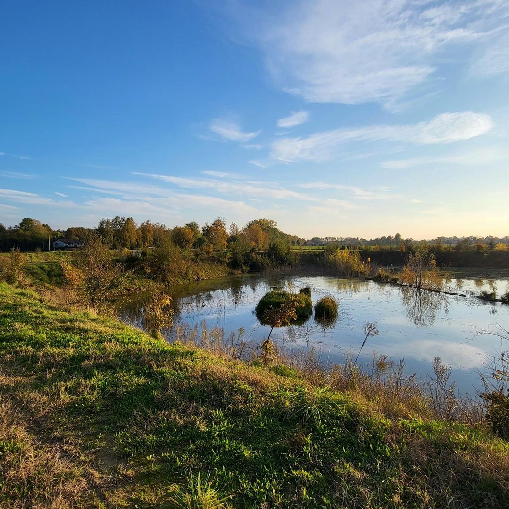
Beautiful panorama over the Venetian plain towards Padova and the Euganean Hills.
0
0

...The Treviso–Ostiglia route has something special: it's a route that carries with it the breath of history. Along the route, old abandoned stations appear, silent buildings that seem to hold the voices of those who departed or arrived there many years ago. Pedaling alongside those buildings, you almost feel like you can still hear the echoes of the trains and the lives that passed through there...
1
0
Frequently Asked Questions
How many gravel bike trails are available around Santa Maria Di Sala?
There are over 230 gravel bike trails around Santa Maria Di Sala, offering a wide variety of options for different skill levels and preferences. The komoot community has explored more than 10,000 routes in this area.
What kind of terrain can I expect on gravel bike trails in Santa Maria Di Sala?
The terrain around Santa Maria Di Sala is characterized by gentle plains, a network of canals, and agricultural scenery. You'll find many routes along river trails, such as those by the Brenta and Dese rivers, which often feature varied surfaces suitable for gravel biking. The landscape is generally flat, making it accessible for various fitness levels.
Are there any family-friendly gravel bike routes in Santa Maria Di Sala?
Yes, the flat and canal-rich terrain of Santa Maria Di Sala makes it ideal for less strenuous rides, many of which are suitable for families. You can find numerous easy and moderate routes that offer a pleasant experience for all ages. For example, the Brenta Canal lock in Stra – Piovego Canal Gravel Path loop from Vigonza-Pianiga is a moderate option that follows scenic waterways.
What are some notable natural features or scenic views I can expect on these trails?
You'll encounter picturesque views of the Veneto countryside, including traditional farmhouses and extensive agricultural plains. The river trails, particularly along the Brenta and Dese rivers, offer natural corridors with lush vegetation and tree cover. The Horse Trail (Brenta River Trail) is highlighted for its varied and engaging natural experience.
Are there any historical or cultural points of interest along the gravel routes?
Yes, you can integrate cultural points of interest into your rides. The famous Villa Pisani in Stra, a grand Venetian villa, is located near the Brenta River Trail. Within Santa Maria di Sala itself, Villa Farsetti offers a glimpse into the town's aristocratic past. You might also encounter other historical sites like Villa Giovannelli Colonna.
What do other gravel bikers enjoy most about the trails in Santa Maria Di Sala?
The gravel bike trails in Santa Maria Di Sala are highly rated by the komoot community, with an average score of 4.4 stars from over 1,200 reviews. Riders often praise the serene agricultural scenery, the accessible flat terrain, and the charming riverside paths that offer a peaceful escape into rural Italian beauty.
Are there any circular gravel bike routes available?
Yes, many of the gravel bike routes in Santa Maria Di Sala are designed as loops, allowing you to start and end at the same point. An example is the Brenta Riverside Path – Brenta River weir at Limena loop from Vigonza-Pianiga, which follows the Brenta River for a scenic circular ride.
What is the best time of year for gravel biking in Santa Maria Di Sala?
Given the region's generally mild climate and flat terrain, gravel biking is enjoyable for much of the year. Spring and autumn offer pleasant temperatures and beautiful scenery, while summer can be warm but still manageable, especially on shaded river trails. Winter rides are also possible on clear days.
Are there options for longer, more challenging gravel rides?
While many routes are gentle, there are options for longer and more challenging rides. For instance, the Asolo Fountain – Asolo loop from Noale-Scorzé is a difficult 64.2-mile (103.4 km) trail that leads through varied terrain and can take nearly 7 hours to complete, offering a substantial challenge.
Can I find places to stop for refreshments or food along the trails?
Yes, the area's agricultural and cultural landscape means you'll often find opportunities for cafe stops or restaurants in nearby towns and villages. The Ostiglia Refreshment Kiosk is one specific highlight that offers a place to pause and refuel during your ride.
What are the typical distances and durations for gravel bike trails in this area?
The routes vary significantly in length and duration. You can find shorter rides, like the Brenta Canal lock in Stra – Piovego Canal Gravel Path loop from Vigonza-Pianiga at about 24.6 miles (39.6 km) taking around 2.5 hours. Longer routes, such as the Laghetti Park, Martellago – Access to the Mestre Woods loop from Noale-Scorzé, can be over 42 miles (68 km) and take several hours to complete, offering options for all time commitments.
Are there any specific trails that follow the Brenta River?
Yes, the Brenta River is a prominent feature for gravel biking in the area. The Brenta Riverside Path – Brenta River weir at Limena loop from Vigonza-Pianiga is a popular route that follows the river, offering a mix of riverside paths and scenic views. The Horse Trail (Brenta River Trail) is also a notable path along the Brenta.
Most popular routes around Santa Maria Di Sala
Most popular attractions around Santa Maria Di Sala

Get inspired with the komoot mobile app


Explore more
Browse the best Gravel rides in other regions.
