The best gravel rides around Misinto
4.4
(265)
1,788
riders
101
rides
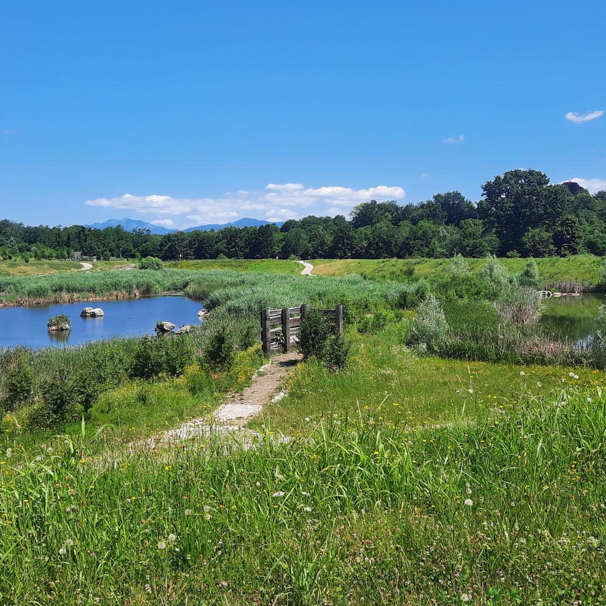
Gravel biking around Misinto features a network of routes primarily along river paths, canal towpaths, and through local parklands. The region is characterized by generally flat to gently rolling terrain, with routes often following the Lura River and the Villoresi Canal. These paths provide access to green spaces and converted railway lines, offering varied surfaces suitable for gravel bikes.
Best gravel bike trails around Misinto
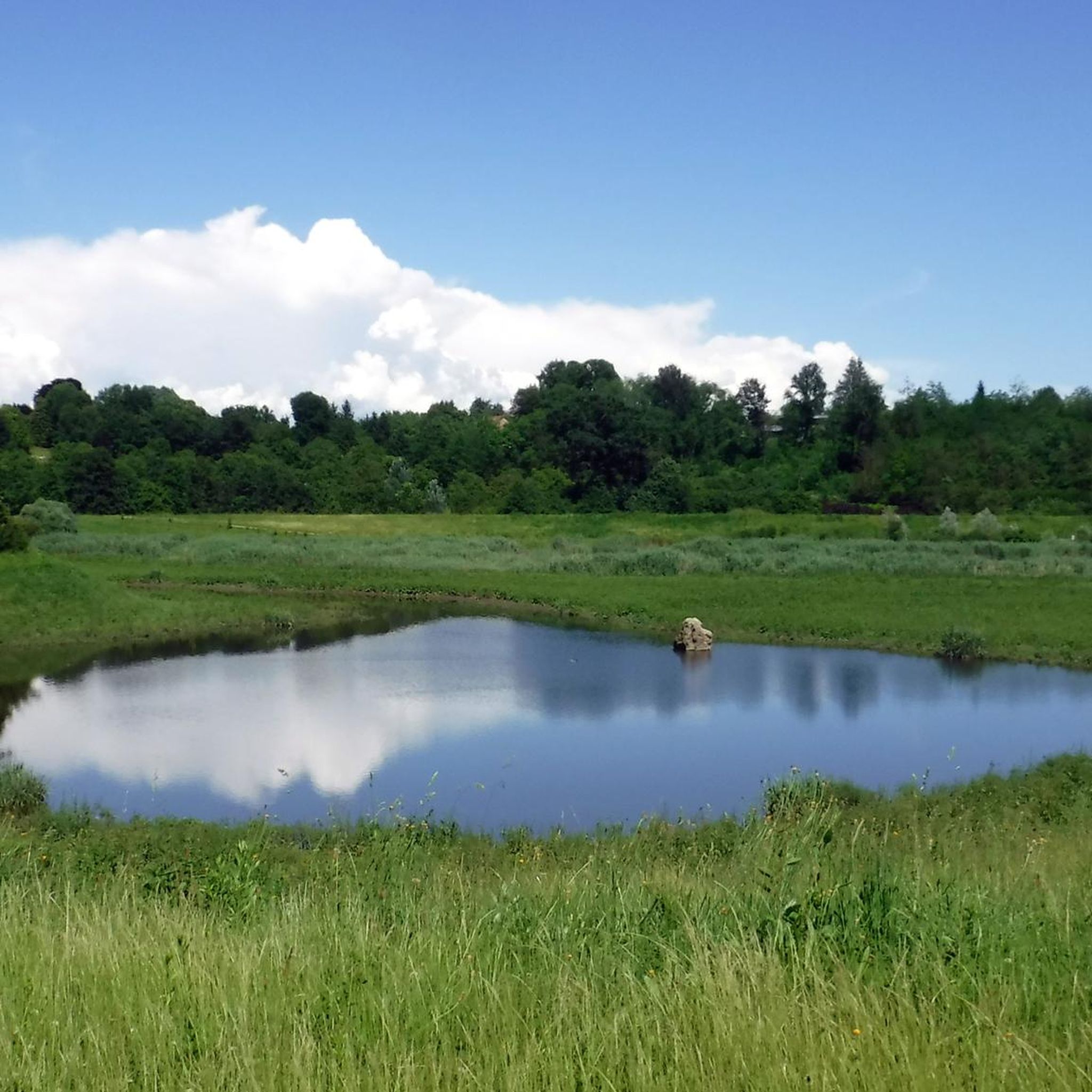
- The most popular gravel bike trail is Lura River in the Parco del Lura –…
Last updated: June 24, 2026
4.0
(1)
22
riders
97.5km
06:43
1,120m
1,120m
Hard gravel ride. Very good fitness required. Mostly paved surfaces. Suitable for all skill levels.
4.3
(3)
17
riders
23.2km
01:14
100m
100m
Easy gravel ride. Great for any fitness level. Mostly paved surfaces. Suitable for all skill levels.

Sign up for free
3.2
(6)
21
riders
125km
07:07
680m
680m
Hard gravel ride. Very good fitness required. Mostly paved surfaces. Suitable for all skill levels.
5.0
(1)
19
riders
Moderate gravel ride. Good fitness required. Mostly paved surfaces. Suitable for all skill levels.
4.5
(2)
9
riders
Hard gravel ride. Very good fitness required. Mostly paved surfaces. Suitable for all skill levels.
Get access to more routes and recommendations from other explorers.
Sign up for free
Already have an account?
Our route recommendations are based on thousands of hikes, rides, and runs completed by other people on komoot.
Start today with a free account
Your next adventure awaits.
Login or Signup
Tips from the Community

Pay attention to the GPS directions as they are not always accurate
1
0

The Pista Ciclopedonale della Valle Olona, starting from Castellanza, mainly follows the bank of the Olona River along consortium roads to Solbiate Olona, remaining on the other side of the Valley with respect to the track of the former Valmorea Railway.
1
0

Il Parco del Lura is a local park of supramunicipal interest established for the protection and enhancement of the Lura stream valley in the stretch that extends from Cassina Rizzardi to Lainate. The municipalities adhering to the consortium are: Bregnano, Cadorago, Caronno Pertusella, Cassina Rizzardi, Cermenate, Garbagnate Milanese, Guanzate, Lainate, Lomazzo, Rovellasca, Rovello Porro and Saronno
0
0
The intersection between the Olona river and the Villoresi Canal occurs in the Alto Milanese area, specifically between the municipalities of Parabiago, Nerviano, and San Vittore Olona. This area is characterized by the intersection of local cycle paths (such as the Olona Greenway) and the long irrigation canal, offering naturalistic and historical routes.
0
0

The Magical Woods Trail hosts the works of Giancarlo Volontè; thanks to its evocative landscape, the route transports those who walk it into a fairy-tale world, full of surprises and discoveries at every step, to be experienced with lightheartedness and curiosity.
0
0
Beautiful cycle path along the Olona River. Several points of interest: the Torba Monastery (FAI) and, with a short detour, the Castelseprio Archaeological Park with the beautiful church of Santa Maria Foris Portas.
1
0

From "ateinsubriaolona.it": "The word magic evokes fairytale atmospheres, often immersed in a woodland setting, a place populated by fantastical inhabitants and guardian of fables and wonders. The Magic of the Woods trail is a short path that begins in front of one of the two entrances to the Scientific Education Center and hosts the wooden works of Giancarlo Volontè. It winds through a Scots pine forest, transporting those who walk it into a fairytale world, full of surprises and discoveries at every step, to be experienced with lightheartedness and curiosity. Along the trail, you'll encounter elves and spirits carved from wood, as well as giant-sized insects and other animals. Giancarlo Volontè is a skilled wood sculptor, a longtime friend of the Park, and an eclectic Volunteer Ecological Guard who works for the Protected Area. Like any artist, he is able to unleash the communicative power of materials, in this case wood, extracting for the eyes of all that magic guarded by the majestic inhabitants of the forest. Near the Scientific Education Center, completing the Magic of the Forest trail, you can walk the F.A.T.A. Trail, a short circular route complete with educational panels and installations on the solar system.
0
0

Is the bike path open? I knew it was closed for construction?
0
0
Frequently Asked Questions
What kind of terrain can I expect on gravel bike trails around Misinto?
Gravel biking around Misinto primarily features routes along river paths, canal towpaths, and through local parklands. The terrain is generally flat to gently rolling, with varied surfaces suitable for gravel bikes, including sections along the Lura River and the Villoresi Canal.
Are there gravel bike routes suitable for beginners in Misinto?
Yes, Misinto offers a good selection of routes for beginners. There are 22 easy gravel bike tours available. An excellent option for a relaxed ride is the Lura River in the Parco del Lura loop from Rovello Porro, which is 13.4 miles (21.6 km) long and rated as easy.
Can I find challenging gravel bike trails near Misinto?
Absolutely. For more experienced riders seeking a challenge, there are 38 difficult gravel bike routes in the area. One notable option is the View from the San Maffeo Church – Former Valmorea Railway loop from Rovellasca-Manera, a demanding 58.9-mile (94.7 km) route with significant elevation changes.
Are there any circular gravel bike routes in Misinto?
Yes, many of the gravel bike routes around Misinto are designed as loops, offering convenient starting and ending points. For example, the Villoresi Canal Cycle Path loop from Ceriano Laghetto-Solaro is a popular 17.0-mile (27.4 km) circular trail along the canal.
What are some interesting places to see along the gravel bike routes?
The routes often pass through natural areas and offer access to local parks. You can explore highlights like the Lura Park or sections of the Groane Trail. The Villoresi Canal Cycle Path itself is a scenic highlight.
Are there family-friendly gravel biking options in Misinto?
Many of the easier routes along the Lura River and Villoresi Canal are suitable for families, especially those with gentle gradients and well-maintained paths. The Lura River in the Parco del Lura loop from Saronno is an easy 10.7-mile (17.2 km) option that could be enjoyable for families.
What is the best time of year for gravel biking in Misinto?
The region is generally pleasant for gravel biking from spring through autumn. The paths along rivers and canals offer shade in warmer months, and the flat terrain makes it accessible even in cooler, drier conditions. Always check local weather forecasts before heading out.
Are there places to stop for refreshments or cafes along the gravel bike trails?
While specific cafes directly on every trail segment are not guaranteed, many routes pass through or near small towns and villages where you can find local establishments for refreshments. Planning your route with komoot allows you to identify potential stops along the way.
How long are the typical gravel bike trails around Misinto?
The gravel bike trails in Misinto vary significantly in length. You can find shorter, easy loops like the 10.7-mile (17.2 km) Lura River in the Parco del Lura loop from Saronno, up to much longer and more challenging routes such as the 58.9-mile (94.7 km) Former Valmorea Railway loop from Rovellasca-Manera.
What do other gravel bikers say about the trails in Misinto?
The gravel biking routes around Misinto are highly regarded by the komoot community, holding an average rating of 4.4 stars from over 250 reviews. Riders often praise the diverse network of river paths, canal towpaths, and parkland trails, as well as the accessibility for various skill levels.
Is public transport available to access gravel bike routes in Misinto?
Misinto and surrounding towns are connected by local public transport, which can provide access points to various trailheads. It's advisable to check specific train or bus routes and their bike carriage policies to plan your journey effectively to the starting points of tours like those from Ceriano Laghetto-Solaro or Rovello Porro.
Where can I find parking for gravel biking in Misinto?
Many of the routes start from towns or villages that offer public parking facilities. When planning your tour on komoot, you can often identify suitable parking areas near the designated starting points, such as those for loops beginning in Ceriano Laghetto-Solaro or Rovello Porro.
Most popular attractions around Misinto

Get inspired with the komoot mobile app


Explore more
Browse the best Gravel rides in other regions.
