The best gravel rides around Civitella Paganico
4.0
(50)
689
riders
39
rides
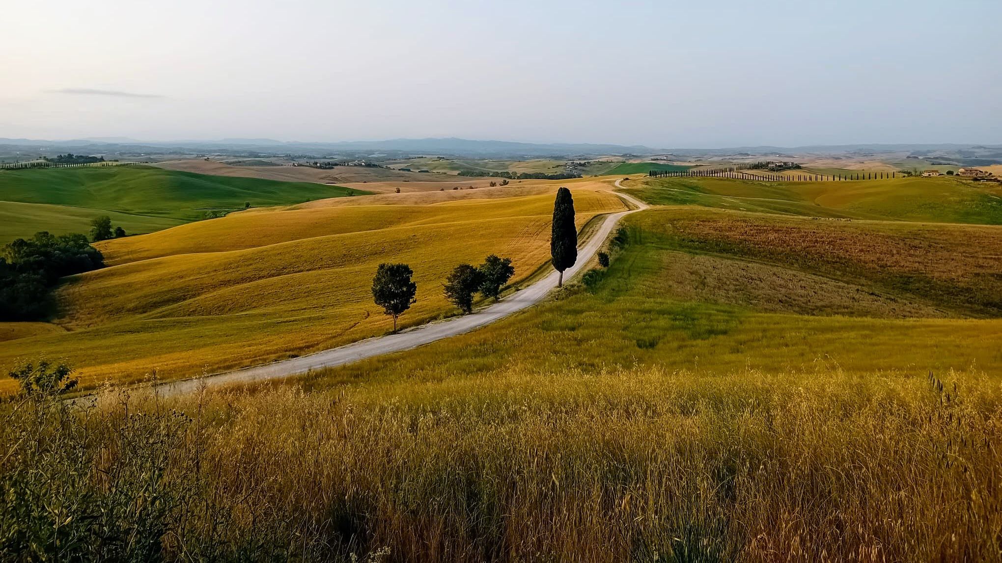
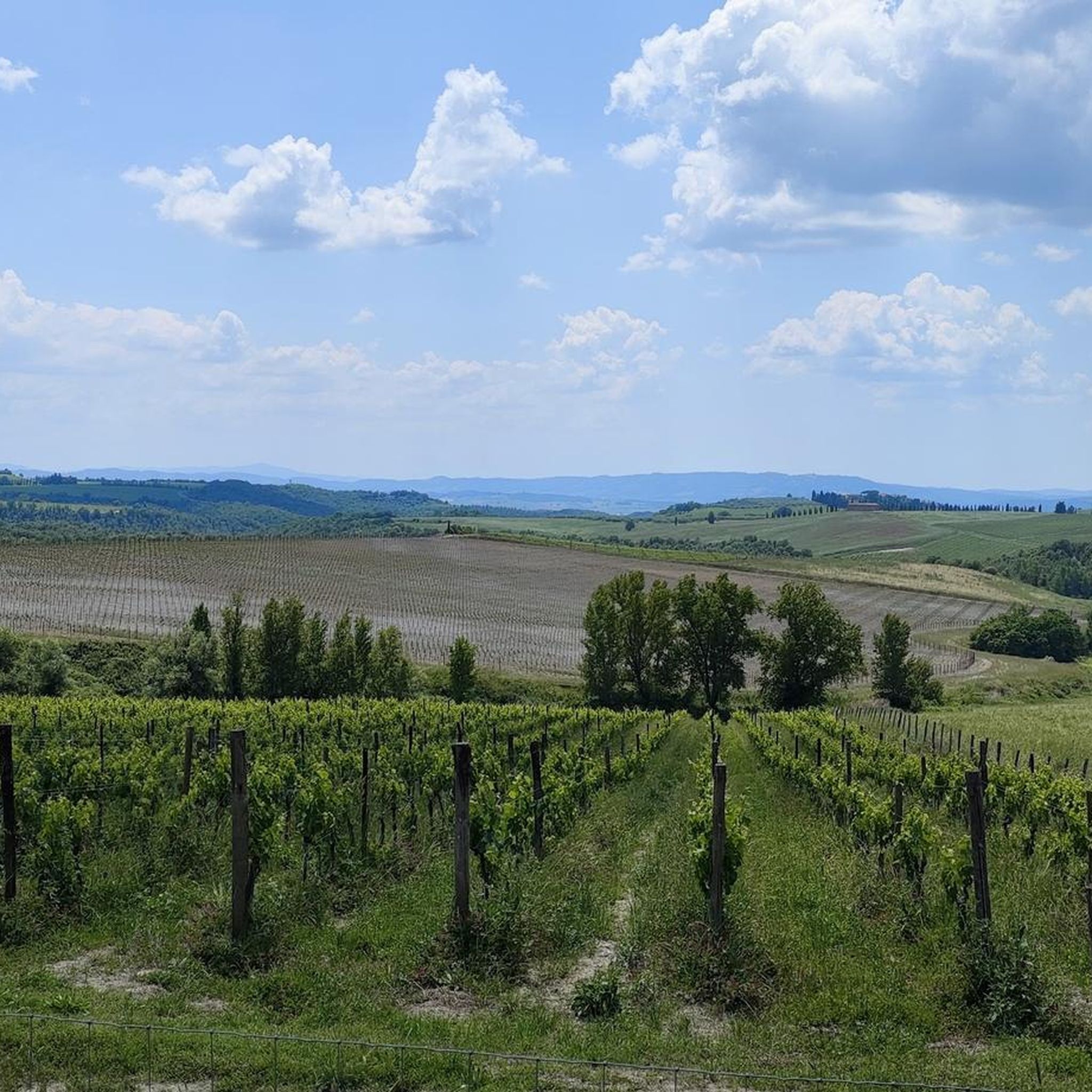
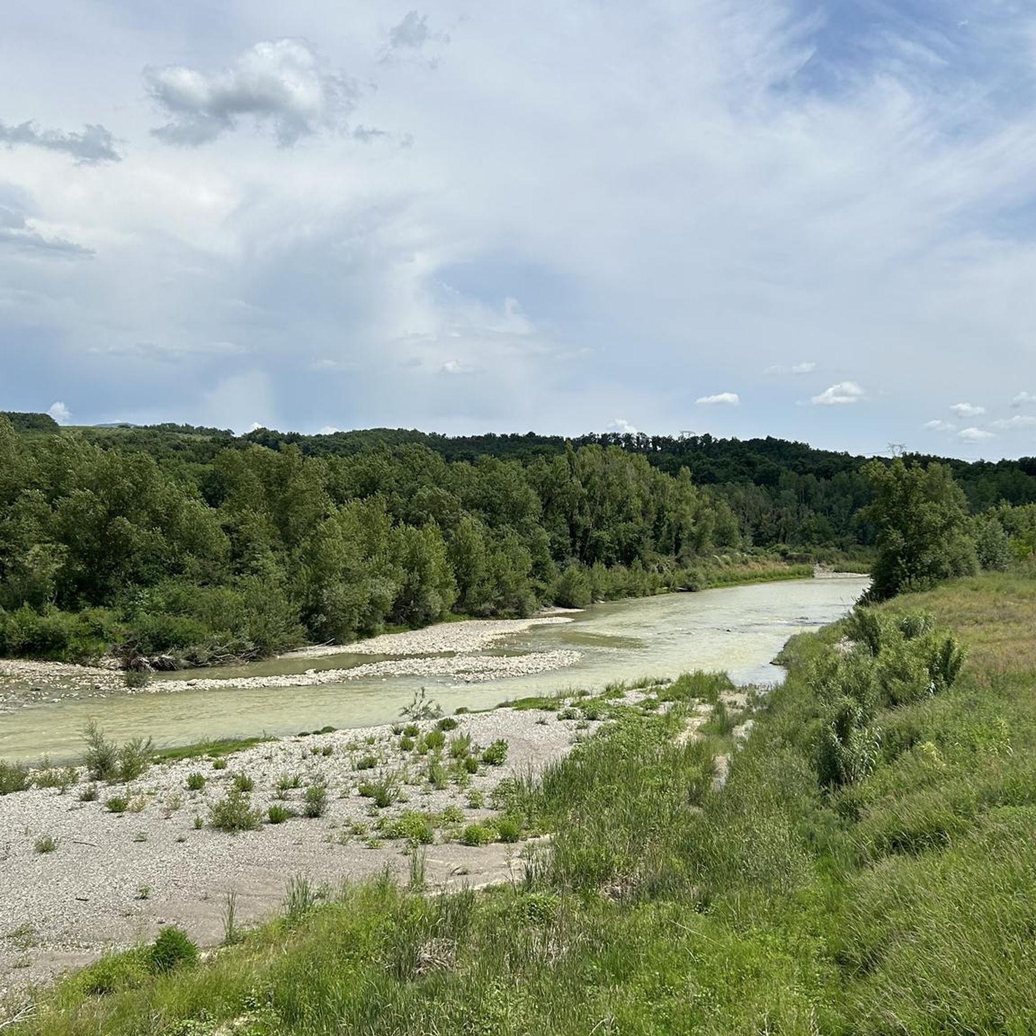
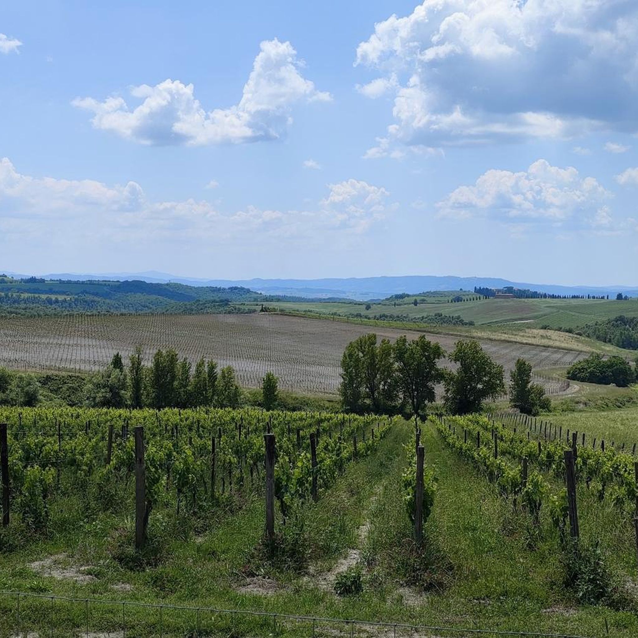
Gravel biking around Civitella Paganico offers routes through the rolling hills and historic landscapes of Tuscany. The region is characterized by its unpaved country roads, vineyards, and olive groves, providing varied terrain for gravel cyclists. Routes often feature significant elevation changes, leading to panoramic views of the surrounding countryside.
Best gravel bike trails around Civitella Paganico
- The most popular gravel bike trail is Val d'Orcia Panorama – Sant'Antimo Abbey loop from Sant'Angelo Scalo, a 72.6 miles (116.9 km) trail that takes about 8 hours 35 minutes to complete. This route traverses the scenic Val d'Orcia, passing historic landmarks.
- Another top favourite among local gravel bikers is Cypress Road in Val d'Orcia – Historic town of Montalcino loop from Sant'Angelo-Cinigiano, a difficult 30.3 miles (48.8 km) path. This route winds through iconic cypress-lined roads and past the historic town of Montalcino.
- Local gravel bikers also love the Abbey of San Galgano – San Galgano loop from Monte Quoio, a 26.8 miles (43.1 km) trail leading through rural Tuscan landscapes to the historic Abbey of San Galgano, often completed in about 2 hours 56 minutes.
- Gravel biking around Civitella Paganico is defined by rolling hills, historic abbeys, and unpaved country roads. The network offers options for both moderate and more challenging ability levels.
- The routes in Civitella Paganico are highly rated by the komoot community with an average score of 4.1 stars from over 40 reviews. More than 300 gravel bikers have used komoot to explore Civitella Paganico's varied terrain.
Last updated: May 24, 2026
5.0
(9)
237
riders
128km
09:08
2,210m
2,200m
Hard gravel ride. Very good fitness required. Mostly paved surfaces. Suitable for all skill levels.
4.8
(14)
52
riders
Hard gravel ride. Very good fitness required. Mostly paved surfaces. Suitable for all skill levels.

Sign up for free
3.0
(1)
46
riders
152km
10:13
1,400m
1,400m
Hard gravel ride. Very good fitness required. You may need to push your bike for some segments of this route.
40
riders
119km
08:38
2,360m
2,360m
Hard gravel ride. Very good fitness required. You may need to push your bike for some segments of this route.
5.0
(2)
28
riders
Hard gravel ride. Very good fitness required. You may need to push your bike for some segments of this route.
Get access to more routes and recommendations from other explorers.
Sign up for free
Already have an account?
Our route recommendations are based on thousands of hikes, rides, and runs completed by other people on komoot.
Start today with a free account
Your next adventure awaits.
Login or Signup
Other adventures around Civitella Paganico

Tips from the Community

The area currently known as the Diaccia Botrona Nature Reserve once contained a saltwater basin connected to the sea, which for centuries provided a significant economic source, ensuring the livelihood of the surrounding areas thanks to fishing, the fish trade, and the supply of salt. This enormous "piscaria" or fishpond, on which the castle stood, later became the toponym of the town, called Castiglione della Pescaia. Over the centuries, the Prile initially lost its salinity (the lake was declared a freshwater pond in 1386) and then gradually dried up, forming the marshy basins that characterize the wetland.
0
0
The area currently known as the Diaccia Botrona Nature Reserve once contained a saltwater basin connected to the sea, which for centuries provided a significant economic source, ensuring the livelihood of the surrounding areas thanks to fishing, the fish trade, and the supply of salt. This enormous "piscaria" or fishpond, on which the castle stood, later became the toponym of the town, called Castiglione della Pescaia. Over the centuries, the Prile initially lost its salinity (the lake was declared a freshwater pond in 1386) and then gradually dried up, forming the marshy basins that characterize the wetland.
0
0
The area currently known as the Diaccia Botrona Nature Reserve once contained a saltwater basin connected to the sea, which for centuries provided a significant economic source, ensuring the livelihood of the surrounding areas thanks to fishing, the fish trade, and the supply of salt. This enormous "piscaria" or fishpond, on which the castle stood, later became the toponym of the town, called Castiglione della Pescaia. Over the centuries, the Prile initially lost its salinity (the lake was declared a freshwater pond in 1386) and then gradually dried up, forming the marshy basins that characterize the wetland.
0
0
The area currently known as the Diaccia Botrona Nature Reserve once contained a saltwater basin connected to the sea, which for centuries provided a significant economic source, ensuring the livelihood of the surrounding areas thanks to fishing, the fish trade, and the supply of salt. This enormous "piscaria" or fishpond, on which the castle stood, later became the toponym of the town, called Castiglione della Pescaia. Over the centuries, the Prile initially lost its salinity (the lake was declared a freshwater pond in 1386) and then gradually dried up, forming the marshy basins that characterize the wetland.
0
0
The area currently known as the Diaccia Botrona Nature Reserve once contained a saltwater basin connected to the sea, which for centuries provided a significant economic source, ensuring the livelihood of the surrounding areas thanks to fishing, the fish trade, and the supply of salt. This enormous "piscaria" or fishpond, on which the castle stood, later became the toponym of the town, called Castiglione della Pescaia. Over the centuries, the Prile initially lost its salinity (the lake was declared a freshwater pond in 1386) and then gradually dried up, forming the marshy basins that characterize the wetland.
0
0

A must to do both on foot and by bike. There are many places to take beautiful souvenir photos.
0
0
La Vera Toscana gravel
0
0

a truly unique and evocative village, worth seeing
0
0
Frequently Asked Questions
What is the general difficulty level of gravel biking routes around Civitella Paganico?
The gravel biking routes in Civitella Paganico are predominantly challenging, with 22 out of 30 routes rated as difficult. There are also 8 moderate routes available for those seeking a less intense experience. The terrain often features significant elevation changes through rolling hills and unpaved country roads.
Are there any circular gravel routes in Civitella Paganico?
Yes, many routes in the region are designed as loops. For example, the S.Lorenzo a Merse – La Vidritta gravel loop from Tocchi is a difficult 38.8 km (24.1 miles) circular route that takes you through scenic Tuscan landscapes.
What kind of natural attractions can I expect to see along the gravel bike trails?
Civitella Paganico is rich in natural beauty. You can encounter thermal springs like the Petriolo Thermal Baths or the Bagni di Petriolo Hot Springs. For a unique sight, the Canaloni Waterfall and Natural Pools offer a refreshing stop.
Are there historical landmarks or castles to explore near the gravel routes?
Absolutely. The region is dotted with historical sites. You can visit the Bibbiano Castle or the Castello di Poggio alle Mura. The Murlo Historic Village also offers a glimpse into the area's past.
What is the best time of year for gravel biking in Civitella Paganico?
Spring (April-May) and Autumn (September-October) are generally considered the best times for gravel biking in Tuscany. The weather is milder, and the landscapes are particularly vibrant, with blooming wildflowers in spring and rich colors in autumn. Summers can be very hot, and winters can be wet and cold, making riding less comfortable.
How long do gravel bike routes typically take in this area?
Route durations vary significantly based on distance and elevation. For instance, the Abbey of San Galgano – San Galgano loop from Monte Quoio, a 43.1 km (26.8 miles) route, typically takes around 2 hours 56 minutes. Longer routes, like the 72.6-mile Val d'Orcia Panorama loop, can take over 8 hours.
What do other gravel bikers say about the routes in Civitella Paganico?
The gravel routes in Civitella Paganico are highly regarded by the komoot community, holding an average rating of 4.1 stars from over 40 reviews. Riders frequently praise the stunning panoramic views, the quiet unpaved roads winding through vineyards and olive groves, and the opportunity to explore historic abbeys and villages.
Are there any routes that offer particularly scenic viewpoints?
Many routes in Civitella Paganico provide breathtaking views of the Tuscan countryside. The Tuscan views – Bell Tower of Pari loop from Civitella Marittima is a difficult 67.3 km (41.8 miles) route specifically highlighted for its scenic vistas, including the Bell Tower of Pari.
How many gravel bike routes are available in Civitella Paganico?
There are over 30 gravel bike routes available for exploration around Civitella Paganico, offering a wide range of options for different skill levels and preferences.
What should I pack for gravel riding in Civitella Paganico?
Given the varied terrain and potential for longer rides, it's advisable to pack essentials such as a repair kit, sufficient water, snacks, sun protection, and appropriate layers of clothing. A GPS device or a loaded komoot tour is highly recommended for navigation on the unpaved country roads.
Are there any less-traveled gravel tracks for those looking to explore?
While specific 'unexplored' tracks are hard to pinpoint, the region's extensive network of unpaved country roads means there are always quieter paths to discover. Many of the routes, even popular ones, offer sections away from main roads, providing a sense of solitude amidst the Tuscan landscape.
Most popular routes around Civitella Paganico
Most popular attractions around Civitella Paganico

Get inspired with the komoot mobile app


Explore more
Browse the best Gravel rides in other regions.
