The best gravel rides around Bagno Di Romagna
4.8
(69)
497
riders
27
rides
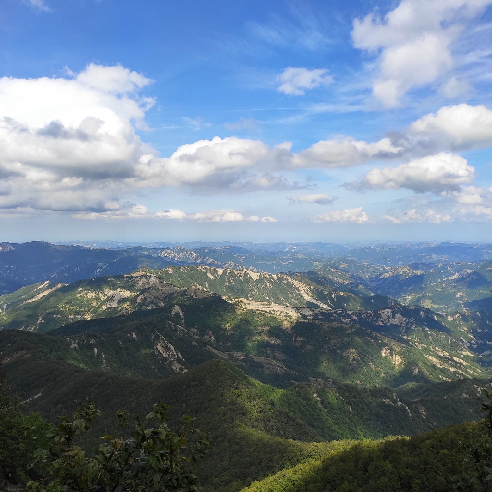
Gravel bike trails around Bagno Di Romagna are situated within the Tuscan-Romagnolo Apennines, offering diverse and well-preserved natural landscapes. The region is characterized by ancient forests, extensive trail networks, and significant natural thermal waters, particularly within the Casentino Forest National Park. This area provides varied terrain, from challenging climbs to forest roads, suitable for different gravel biking experiences. The landscape includes picturesque lakes and the Savio River, contributing to the scenic routes available.
Best gravel bike trails around Bagno Di…
Last updated: July 6, 2026
5.0
(2)
32
riders
72.0km
06:18
2,380m
2,380m
Hard gravel ride. Very good fitness required. Mostly paved surfaces. Suitable for all skill levels.
4.5
(21)
122
riders
40.0km
02:53
1,000m
1,000m
Hard gravel ride. Very good fitness required. Mostly paved surfaces. Suitable for all skill levels.

Sign up for free
5.0
(1)
19
riders
64.8km
05:23
1,870m
1,870m
Hard gravel ride. Very good fitness required. Mostly paved surfaces. Suitable for all skill levels.
4.5
(23)
124
riders
37.5km
02:42
990m
990m
Hard gravel ride. Very good fitness required. Mostly paved surfaces. Suitable for all skill levels.
5.0
(1)
27
riders
41.0km
03:32
1,040m
1,040m
Hard gravel ride. Very good fitness required. Mostly paved surfaces. Suitable for all skill levels.
Get access to more routes and recommendations from other explorers.
Sign up for free
Already have an account?
Our route recommendations are based on thousands of hikes, rides, and runs completed by other people on komoot.
Start today with a free account
Your next adventure awaits.
Login or Signup
Popular around Bagno Di Romagna


Tips from the Community

Route taken by the train that transported wood from the Lama area to Cancellino
0
0
The "San Paolo in Alpe" bivouac, recently built inside an old residential structure, is located in the mountainous part of the Tuscan-Romagna Apennines, more precisely in the province of Forlì-Cesena, in the municipality of Santa Sofia. The building is divided into two parts: one is always open and available as a temporary shelter, while the other is used as a managed bivouac, accessible by reservation. The building is located on a plateau at an altitude of 1,030 meters and lies entirely within the Casentinesi Forests, Monte Falterona and Campigna National Park. The surrounding landscape is characterized by open grazing areas, immersed in a forest landscape of high environmental value that extends to the Apennine ridge, which includes the Sasso Fratino Integral Nature Reserve, declared a UNESCO World Heritage Site in 2017.
0
0

the climb through the woods begins, quite tough in some parts!!
0
0

Definitely worth a try
0
0

Literally cut in two by the Bidente river which for a long time marked the border between the Papal State and the Grand Duchy of Tuscany, Santa Sofia is practically the gateway to the wonderful Casentinesi Forests National Park, which has protected over 36,000 hectares of forests divided between Emilia Romagna and Tuscany since 1993, and also the monumental Ridracoli dam which collects the waters of the river to quench the thirst of the whole of Romagna even in times of worst drought.
0
1


Splendid itinerary in the heart of the forests of the Casentinesi Forests, Monte Falterona and Campigna National Park: the route winds along a dirt road in excellent condition and faithfully follows the route taken by the train that transported wood from the Lama area to Cancellino, a town located on the state road that connects Badia Prataglia to Bagno di Romagna, through the Passo dei Mandrioli. The train was in operation from 1900 to 1914. Considered the most beautiful forest road in Italy immersed in a beech forest, along the route you will encounter three springs as well as two sulphurous water springs.
0
0
Passo dei Lupatti (altitude 1171) where majestic beech trees stand and where we cross the 00 ridge path coming from Passo dei Mandrioli and heading to Passo della Crocina: the stretch of the railway that went from Passo dei Lupatti to Cancellino was slightly downhill and for this reason the wagons loaded with wood were slowed down in their run by specially trained men called "brakemen". Now from Passo dei Lupatti to Lama the road will always continue downhill: immersed in the forest we walk crossing the slopes of Mount Cucco and Poggio Rovino until we reach Pian della Saporita (altitude 1051) Beautiful dirt road immersed in an immense beech forest with the possibility of many variations, 90% of the routes are suitable for everyone.
0
0
Frequently Asked Questions
What kind of terrain can I expect on gravel bike trails around Bagno Di Romagna?
The gravel bike trails around Bagno Di Romagna are primarily situated within the Tuscan-Romagnolo Apennines and the Casentino Forest National Park. This means you'll encounter a mix of challenging climbs, scenic forest roads, and varied natural landscapes. The region is known for its ancient forests and extensive trail networks.
Are there many difficult gravel routes in Bagno Di Romagna?
Yes, the majority of gravel routes in Bagno Di Romagna are considered difficult, offering a significant challenge for experienced riders. Out of 30 total tours, 29 are rated as difficult, with only one moderate option and no easy routes listed. Expect substantial elevation gains and technical sections.
Are there any circular gravel bike routes available?
Yes, many of the gravel bike routes in Bagno Di Romagna are designed as loops, allowing you to start and finish in the same location. For example, the Saint Sophia – Santa Sofia Bridge loop from Santa Sofia is a popular circular option navigating the Apennine foothills.
What natural attractions can I see along the gravel bike trails?
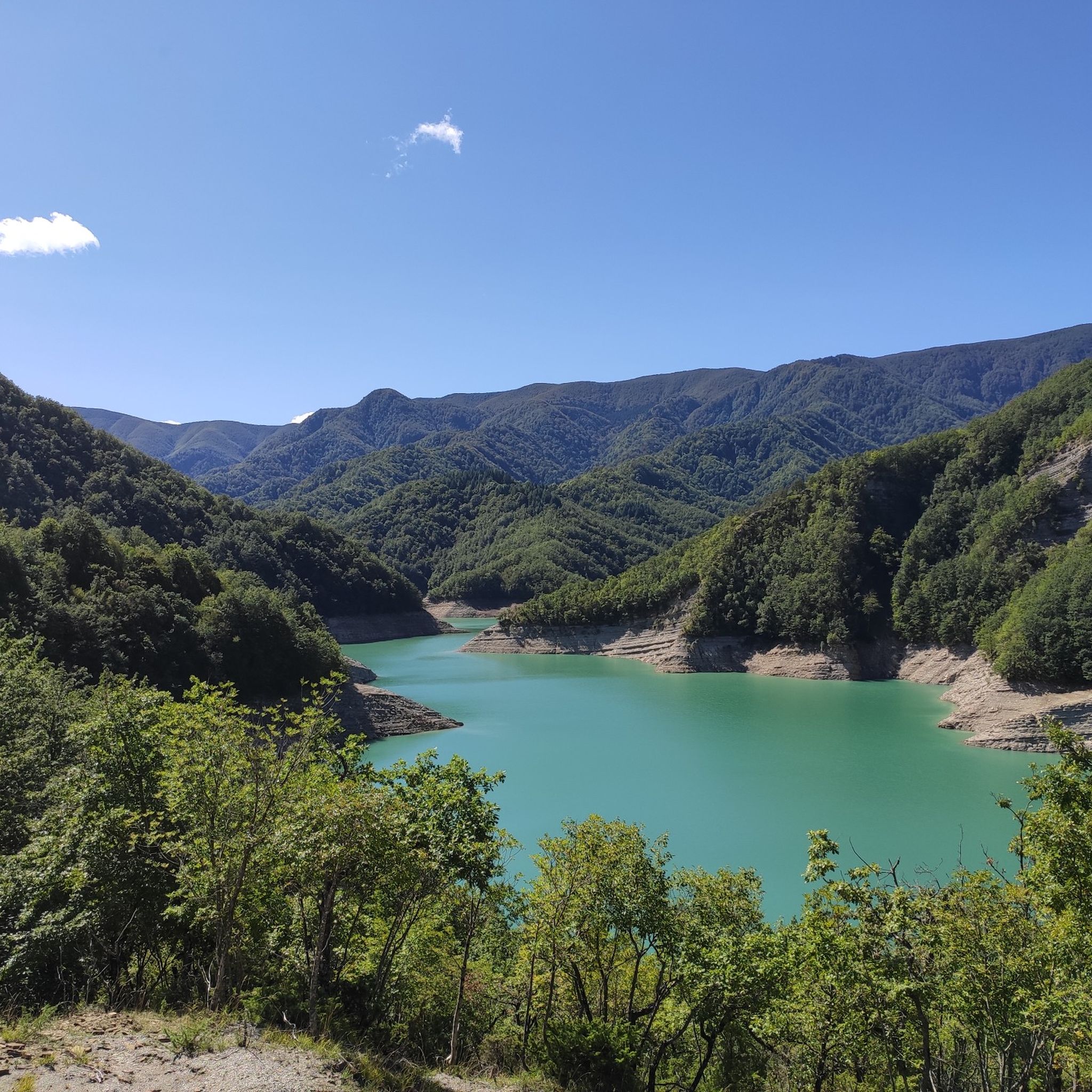
The region is rich in natural beauty. Many trails pass through the Casentino Forest National Park, a UNESCO World Heritage site. You might encounter picturesque lakes like Lake Lungo or Lake Acquapartita, and the Savio River. The spectacular Calla Pass is also a notable feature in the area.
What do other gravel bikers enjoy most about gravel biking in Bagno Di Romagna?
The gravel biking experience in Bagno Di Romagna is highly rated by the komoot community, with an average score of 4.7 stars from over 70 reviews. Riders often praise the diverse terrain, the beauty of the ancient forests, and the challenging nature of the routes, which provide a rewarding experience for those seeking adventure.
Are there any historical landmarks or cultural sites near the gravel routes?
Beyond the natural landscapes, Bagno Di Romagna offers historical and cultural points of interest. The town itself has a charming historic center. You can also find several castles in the wider area, such as the Premilcuore Fortress or the Castello di Romena, which add a cultural dimension to your trip.
What is the best time of year for gravel biking in Bagno Di Romagna?
Given its location in the Tuscan-Romagnolo Apennines and within the Casentino Forest National Park, spring and autumn generally offer the most pleasant conditions for gravel biking. These seasons provide milder temperatures and vibrant natural scenery. Summers can be warm, while winters may bring snow to higher elevations.
Are there any long-distance gravel routes for experienced riders?
Yes, Bagno Di Romagna offers several longer, challenging routes. For instance, the Monte Carpano Pass – Cancellino–Lama Forest Trail loop from San Piero in Bagno covers nearly 60 km with significant elevation, typically taking over 5 hours to complete. Another substantial option is the Cancellino–Lama Forest Trail – San Paolo in Alpe Ruins loop from Ridracoli, which is over 70 km long.
Can I find places to eat or stay near the gravel trails?
Bagno Di Romagna is a well-known destination for wellness and outdoor activities, so you'll find various amenities. The town itself offers cafes, restaurants, and accommodation options. The Valle del Savio Bike Hub also supports cycle tourism, indicating a cyclist-friendly infrastructure in the area.
Are there any gravel routes that pass through the Lama Forest?
Absolutely. The Lama Forest is a natural jewel within the Casentino Forest National Park and is featured in several routes. The Monte Carpano Pass – Cancellino–Lama Forest Trail loop from San Piero in Bagno is a prime example, leading directly through this ancient forest.
What are some of the highest points or passes accessible by gravel bike?
The region features several mountain passes that offer challenging climbs and panoramic views. Notable passes include the Colle del Barbotto Summit and the Monte Fumaiolo Pass. These areas provide excellent opportunities for high-elevation gravel riding.
Most popular routes around Bagno Di Romagna
Most popular attractions around Bagno Di Romagna

Get inspired with the komoot mobile app


Explore more
Browse the best Gravel rides in other regions.
