The best gravel rides around Bussoleno
4.5
(91)
925
riders
21
rides
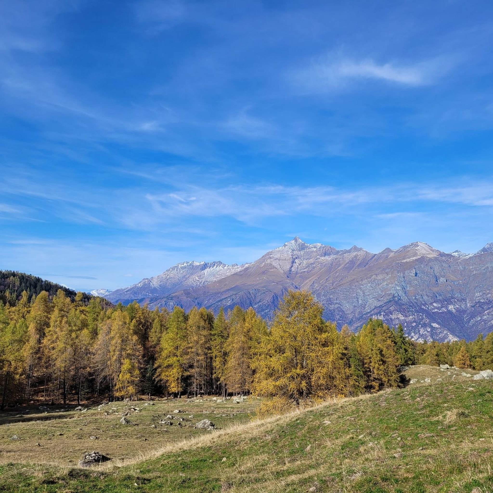
Gravel biking around Bussoleno offers access to the diverse terrain of the Susa Valley in Piedmont, Italy. The region is characterized by its mountainous landscape, featuring high alpine passes, historical military roads like the Strada dell'Assietta, and lower valley paths alongside rivers and canals. Riders can expect a mix of challenging climbs and more moderate routes through forests and open areas, with elevations ranging from valley floors to significant mountain ascents.
Best gravel bike trails around Bussoleno
- The most popular…
Last updated: October 11, 2026
5.0
(7)
88
riders
74.1km
08:04
2,500m
2,500m
Hard gravel ride. Very good fitness required. Mostly paved surfaces. Suitable for all skill levels.
4.5
(20)
178
riders
34.2km
03:17
1,590m
1,580m
Hard gravel ride. Very good fitness required. Mostly paved surfaces. Suitable for all skill levels.

4.4
(21)
200
riders
58.9km
03:17
410m
410m
Moderate gravel ride. Good fitness required. Mostly paved surfaces. Suitable for all skill levels.
4.7
(15)
158
riders
53.2km
04:29
1,890m
1,890m
Hard gravel ride. Very good fitness required. Mostly paved surfaces. Suitable for all skill levels.
5.0
(2)
29
riders
63.5km
05:46
2,560m
2,560m
Hard gravel ride. Very good fitness required. Mostly paved surfaces. Suitable for all skill levels.
Get access to more routes and recommendations from other explorers.
Already have an account?
Our route recommendations are based on thousands of hikes, rides, and runs completed by other people on komoot.
Start today with a free account
Your next adventure awaits.
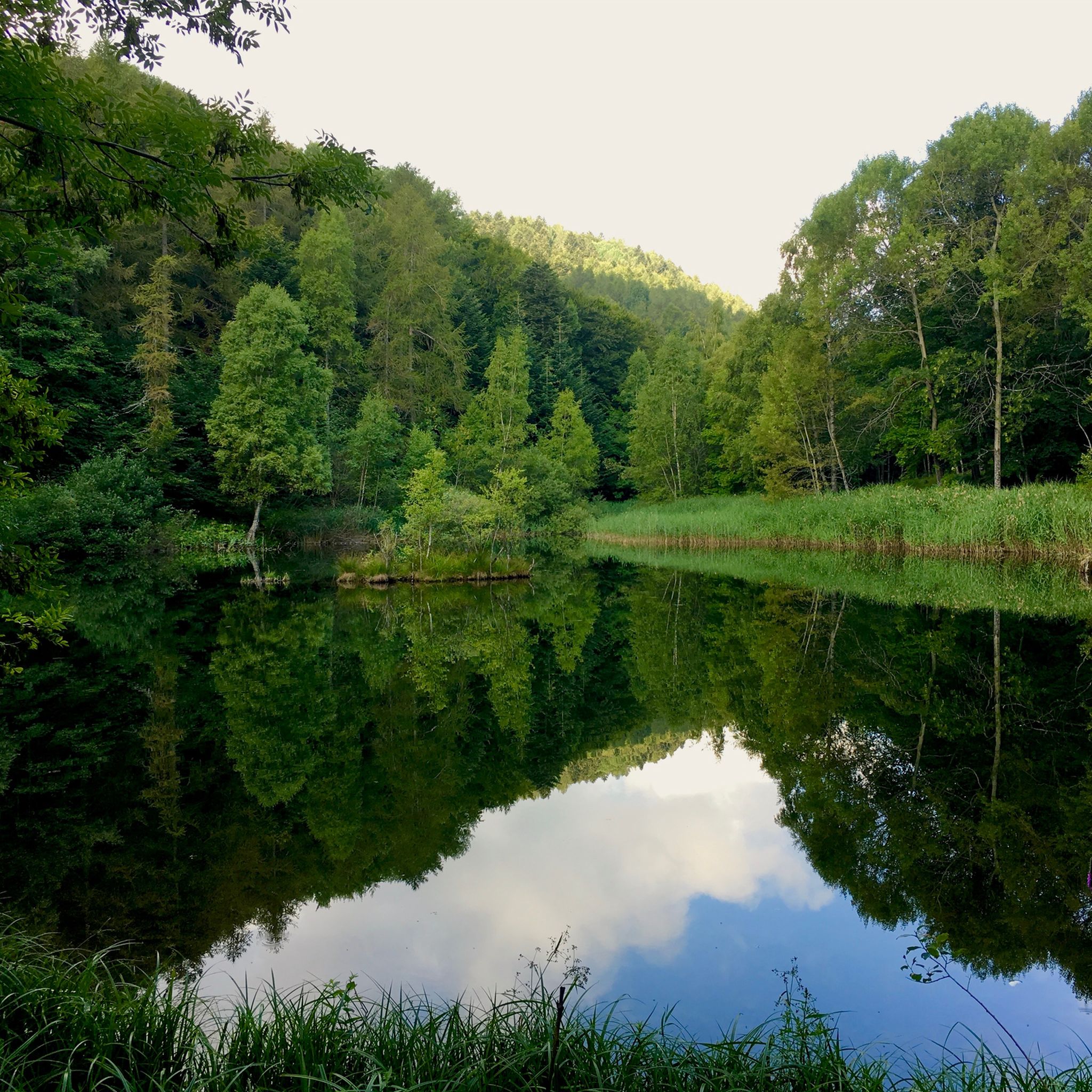
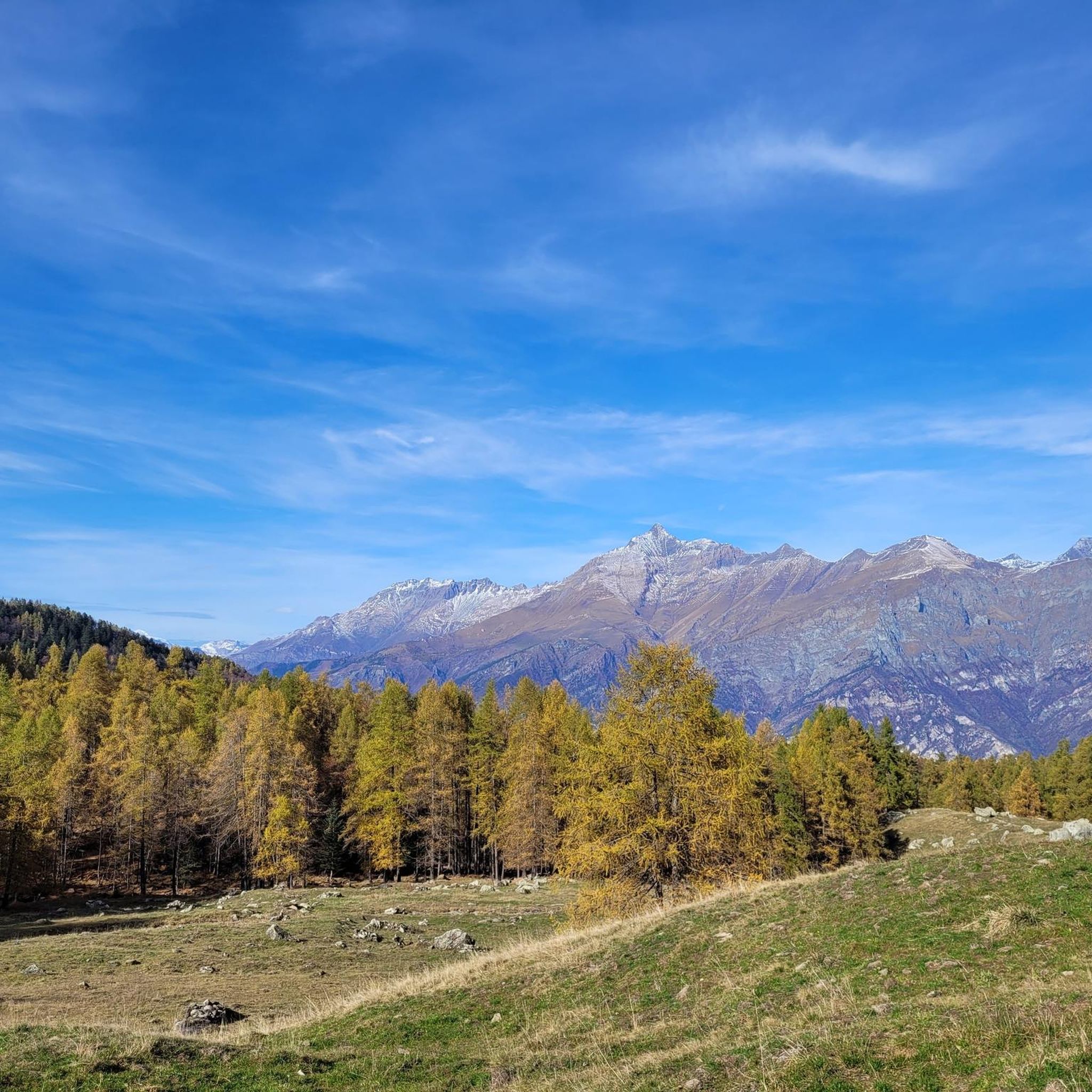
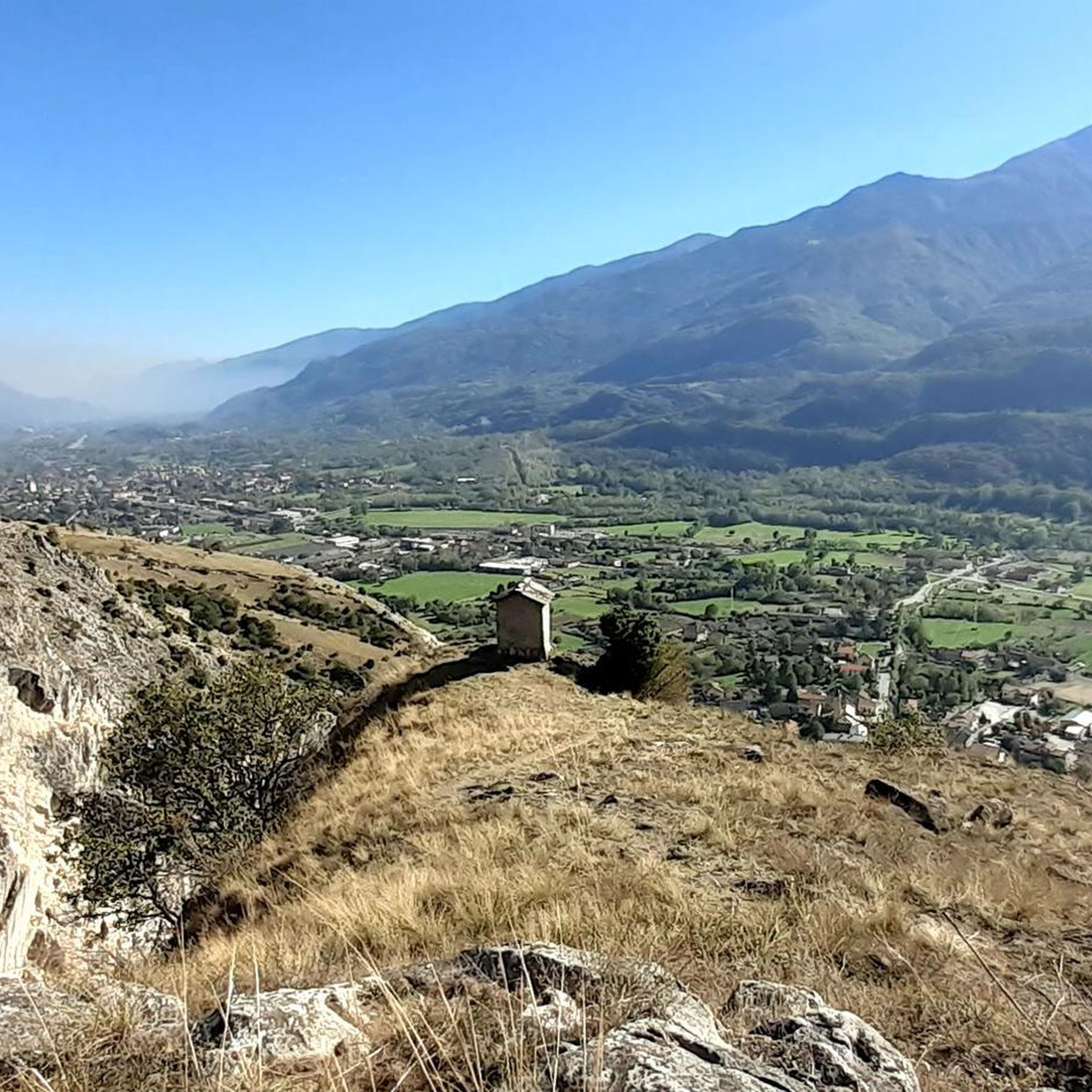

Tips from the Community

Very scenic aerial route rich in historical identities. Route with ground not always well-trodden, also due to disconnections caused by motorcycles and cars.
0
0

The Forte del Gran Serin or Batteria del Gran Serin is a fortification built towards the end of the 19th century to defend the northwestern borders, located along the Assietta road near the Colle dell'Assietta. The battery develops in length straddling over 2,600 meters in altitude, offering artillery positions, barracks including stables for a total that could reach 850 soldiers and a powder magazine, all protected by a long wall. The position covered with its fire from the top of the Assietta to the Gran Costa mountain, covering the Galambra valley, the Niblè, the Quattro Denti peak and the lower Val Cenischia. To date, the structure is in ruins and part of the wall is missing.
0
0

Beautiful military road kept very well. Once you reach the top, you turn at an average altitude of about 2300 m
0
0

Simple route with several fountains and some shade, a beautiful landscape over the Susa Valley, also passing below San Michele....
0
0

Beautiful route surrounded by the splendid mountains of Val Susa with the supervision of Mount Musinè and the Sacra di S.Michele.
0
0

An ideal spot to see the large Avigliana lake: a convenient stop, it offers spectacular views. You couldn't ask for more.
0
0

Gran Serin Barracks
0
0
Frequently Asked Questions
How many gravel bike trails are available around Bussoleno?
There are over 20 gravel bike trails around Bussoleno, offering a wide range of options for different skill levels and preferences. These routes explore the diverse terrain of the Susa Valley.
Are there gravel bike routes suitable for beginners in Bussoleno?
Yes, Bussoleno offers several routes suitable for beginners. For instance, the region has 7 moderate routes, including valley paths alongside rivers and canals. A good option is the Avigliana–Condove Cycle Path – Via Francigena Along the Canal loop from Bussoleno, which is a moderate 35.5-mile (57.2 km) path following historical routes.
Where can I find challenging gravel bike trails near Bussoleno?
For advanced riders seeking a challenge, Bussoleno is known for its high alpine passes and historical military roads. There are 13 difficult routes in the area. Consider the Assietta gravel ring from Susa - Salbertrand variant, a difficult 46.1-mile (74.1 km) trail navigating high-altitude gravel roads with panoramic mountain views.
What is the typical length of gravel bike trails in the Bussoleno area?
The gravel bike trails around Bussoleno vary significantly in length. You can find shorter loops, but many routes are substantial, ranging from around 30 miles (48 km) to over 80 miles (128 km) for longer, more challenging expeditions. For example, the Small Lake of Avigliana – Lakes of Avigliana loop from Bussoleno is a difficult 81.3-mile (130.8 km) route.
Are there circular gravel bike routes available in Bussoleno?
Yes, many of the gravel bike routes around Bussoleno are designed as loops, allowing you to start and end in the same location. This includes popular options like the Strada dell'Assietta – Colle dell'Assietta loop from Susa, which is a 39.6-mile (63.8 km) trail through high mountain passes.
What is the best season for gravel biking in Bussoleno?
The best season for gravel biking in Bussoleno is generally from late spring to early autumn (May to October). During these months, the weather is more stable, and high alpine passes are typically free of snow. Always check local weather conditions, especially for higher elevations, before heading out.
What kind of scenic viewpoints or attractions can I expect along the gravel bike trails?
Gravel biking around Bussoleno offers stunning views of the Susa Valley and access to various natural and historical attractions. You can encounter beautiful lakes such as Lake Laux or Lago Grande. The routes also pass through significant mountain passes like Colle delle Finestre, offering expansive vistas.
Are there any cafes or places to stop for refreshments along the gravel bike routes?
While specific cafes are not listed for every route, many trails pass through or near small towns and villages in the Susa Valley where you can find local eateries and shops. On longer, more remote routes, especially in higher alpine areas, it's advisable to carry sufficient water and snacks.
What do other gravel bikers enjoy most about gravel biking in Bussoleno?
The gravel biking experience in Bussoleno is highly rated by the komoot community, with an average score of 4.3 stars from over 55 reviews. Riders frequently praise the diverse terrain, from challenging high mountain passes to scenic valley paths, and the historical significance of routes like the Strada dell'Assietta.
Can I reach gravel bike trails in Bussoleno using public transport?
Bussoleno is accessible by train, which can be a convenient option for reaching the starting points of many routes in the Susa Valley. From the train station, you can often connect directly to various trails or short rides to reach them. Always check train schedules and bike transport policies in advance.
Where can I park my car when gravel biking in Bussoleno?
Parking is generally available in Bussoleno itself, particularly near the town center or train station, which can serve as a convenient starting point for many routes. For specific trailheads outside the town, look for designated parking areas in nearby villages or at popular access points, though these might be more limited.
Are there any less-known or unique gravel bike trails in the area?
Beyond the most popular routes, the Susa Valley offers a vast network of smaller roads and paths. Exploring routes like the Frais – Pian del Frais Ski Lift loop from Meana, a difficult 20.6-mile (33.1 km) trail, can lead to unique experiences and quieter sections away from the main thoroughfares.
Most popular routes around Bussoleno
Most popular attractions around Bussoleno

Get inspired with the komoot mobile app


Explore more
Browse the best Gravel rides in other regions.
