The best gravel rides around Segni
5.0
(5)
46
riders
6
rides
Gravel biking around Segni offers routes through the Lazio region, characterized by rolling hills and agricultural landscapes. The area features a mix of converted rail trails and dedicated cycle paths, providing varied terrain for gravel cyclists. Elevations typically involve gradual climbs and descents, connecting towns and natural features.
Best gravel bike trails around Segni
- The most popular gravel bike trail is Paliano–Fiuggi Cycle Path – Serrone–Fiuggi Rail Trail loop from Paliano, a 39.4 miles (63.4 km) trail that takes…
Last updated: July 6, 2026
5.0
(2)
29
riders
64.3km
04:07
850m
850m
Hard gravel ride. Very good fitness required. Mostly paved surfaces. Suitable for all skill levels.
5.0
(2)
6
riders
42.0km
02:46
430m
430m
Hard gravel ride. Good fitness required. You may need to push your bike for some segments of this route.

Sign up for free
3
riders
55.6km
04:17
930m
930m
Hard gravel ride. Very good fitness required. Mostly paved surfaces. Suitable for all skill levels.
2
riders
79.6km
05:27
1,240m
1,240m
Hard gravel ride. Very good fitness required. Mostly paved surfaces. Suitable for all skill levels.
2
riders
43.2km
02:55
810m
810m
Hard gravel ride. Very good fitness required. Mostly paved surfaces. Suitable for all skill levels.
Our route recommendations are based on thousands of hikes, rides, and runs completed by other people on komoot.
Start today with a free account
Your next adventure awaits.
Login or Signup
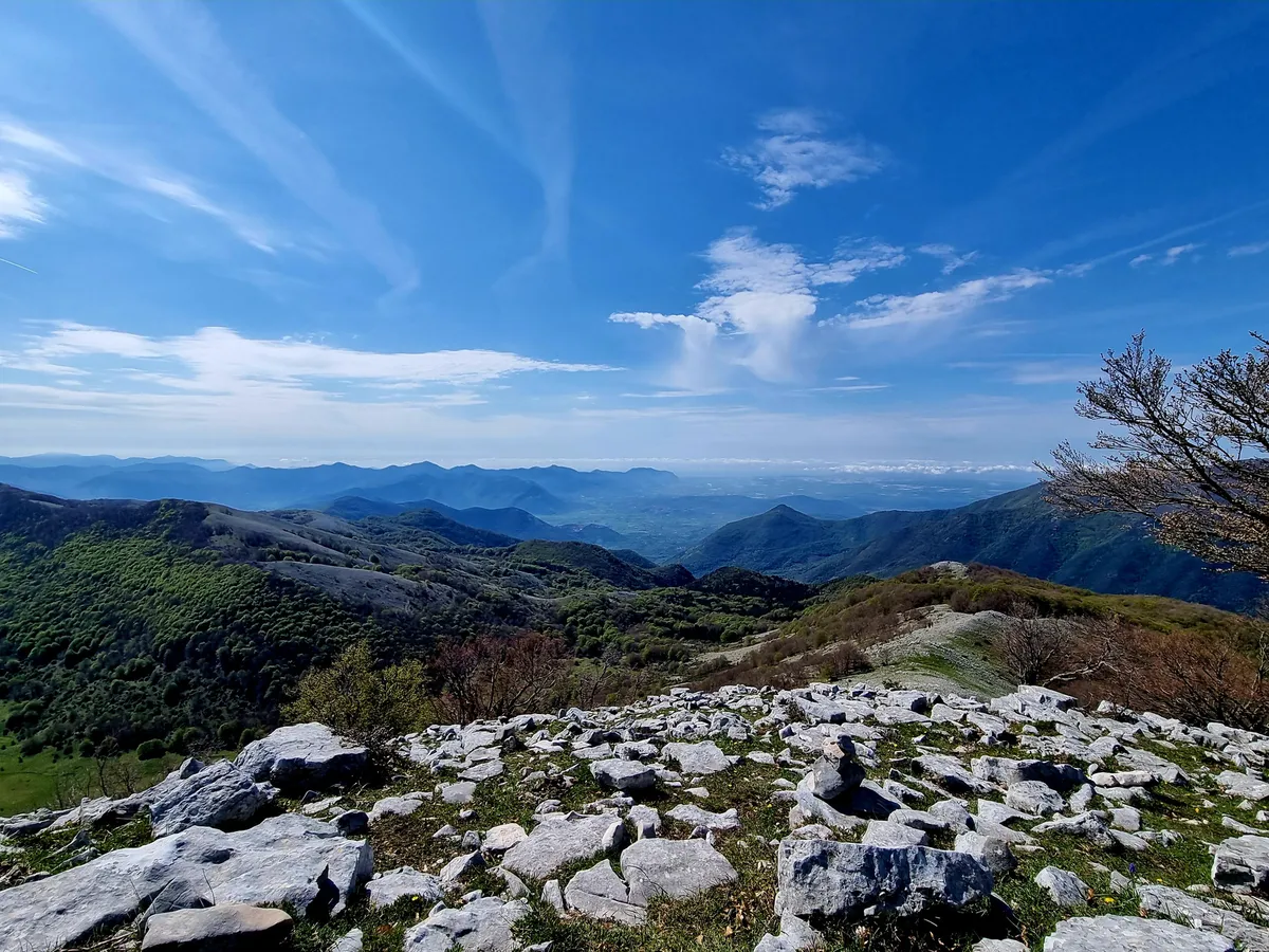
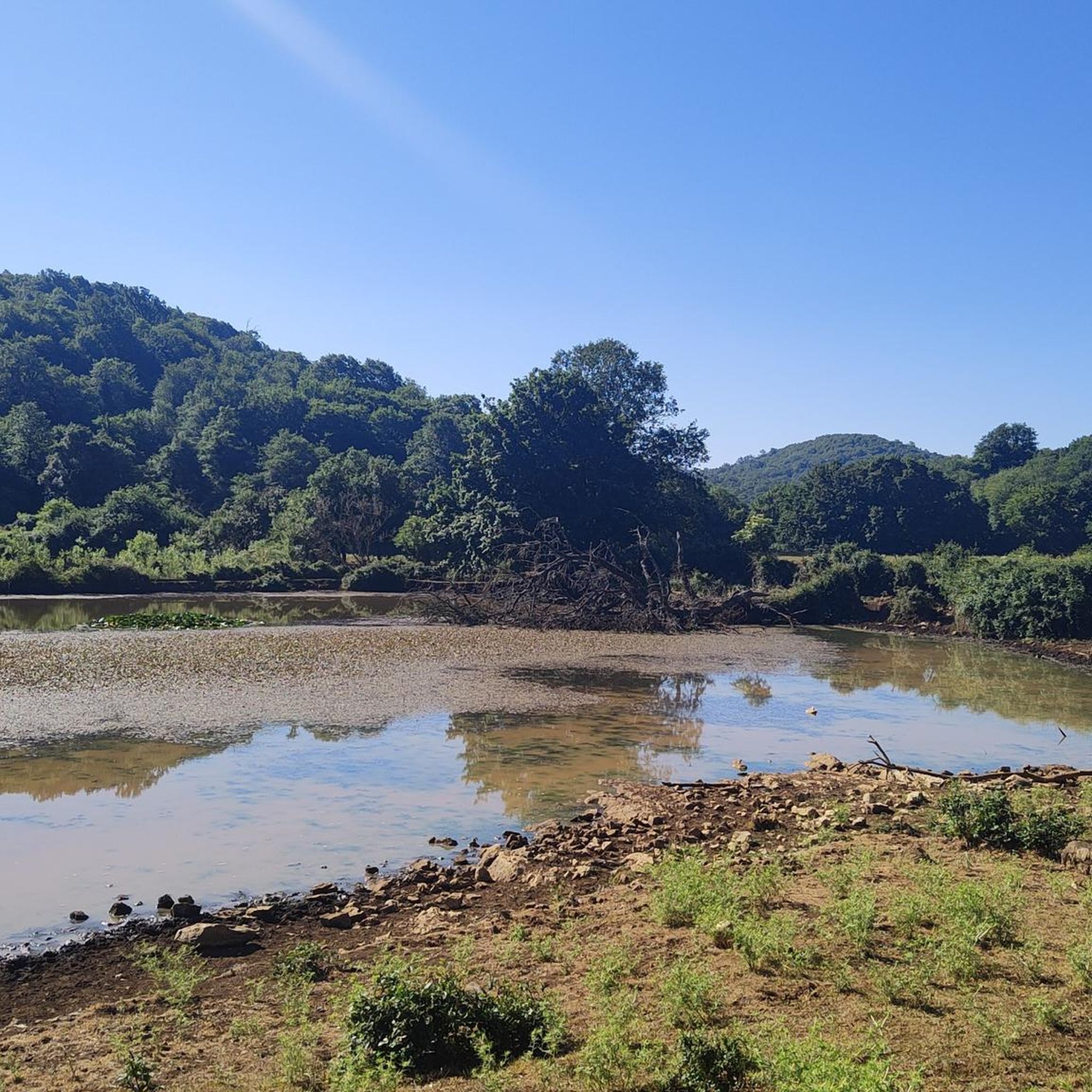
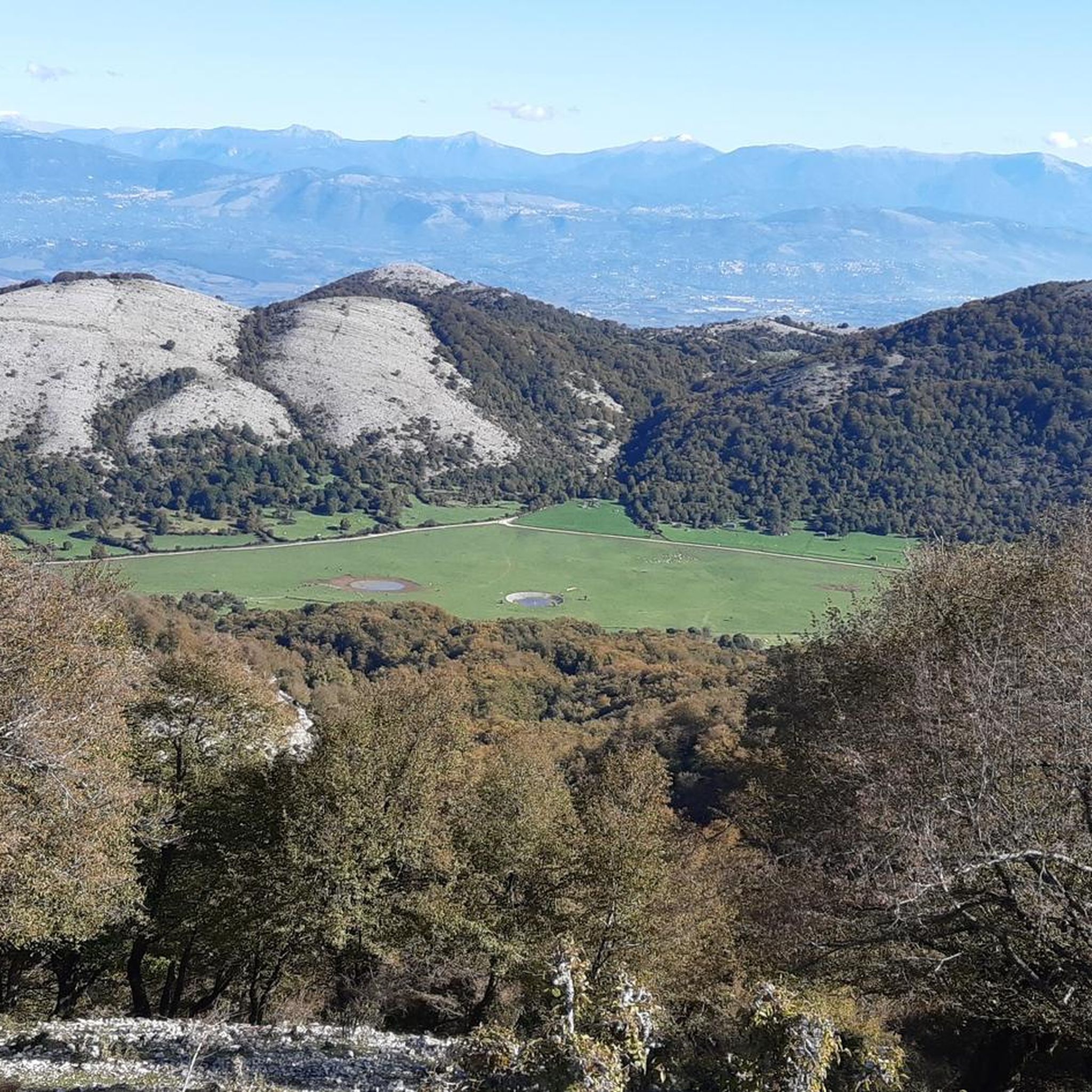
Other adventures around Segni

Tips from the Community

it is not called fontana della necropoli but Fontana Donzelletta
0
0

Beautiful and scenic giant bench (Big Bench) on the cycle path of the former Paliano Fiuggi railway
0
0

Former passenger building located on the former "Velletri-Terracina" railway. If you look to your left (coming from Velletri) before reaching the roundabout, you can admire the old railway bridge.
0
0

The solitary tree on Lake Canterno is a testament to the lake's karst and mysterious nature. Its fame stems from the fact that, due to the lake's unstable water level, this small tree is periodically submerged and then resurfaces during times of drought, resulting in much-photographed imagery and becoming a symbol of the "ghost" lake.
0
0

Former papal cathedral from the 12th century
0
0

The Fiuggi Acuto Piglio cycle path is fantastic, I've ridden the Acuto Piglio section many times on a road bike without any problems.
0
0

The only source still active....
0
0

ANAGNI RECOMMENDED FOR VISITING
0
0
Frequently Asked Questions
How many gravel bike trails are available around Segni?
There are 8 gravel bike routes documented around Segni on komoot. The network primarily caters to experienced riders, with 7 routes rated as difficult and 1 as moderate.
What is the general difficulty level of gravel biking routes in the Segni area?
Gravel biking around Segni is generally challenging. Most routes are rated as difficult, featuring significant elevation changes and longer distances. There is one moderate route available for those seeking a slightly less strenuous ride.
Are there any family-friendly or beginner gravel bike trails near Segni?
The gravel bike routes around Segni are predominantly rated as difficult, making them more suitable for experienced riders. There is one moderate route, but no easy routes are currently listed, so families with young children or absolute beginners might find the terrain challenging.
What kind of terrain can I expect on gravel bike trails around Segni?
The terrain around Segni is characterized by rolling hills and agricultural landscapes. You'll encounter a mix of converted rail trails and dedicated cycle paths, offering varied surfaces for gravel cycling. Elevations typically involve gradual climbs and descents.
What are some scenic viewpoints or interesting landmarks I can see along the gravel bike routes?
Many routes offer glimpses of the region's history and natural beauty. For instance, the Ferrone-Forma Water Fountain – Torre dei Piscoli loop from Colleferro passes by water features and historical towers like Torre dei Piscoli. Other nearby attractions include Lake Giulianello and the historic town of Anagni — The City of Popes.
Are there many loop gravel bike trails in the Segni region?
Yes, many of the gravel bike routes around Segni are designed as loops, allowing you to start and finish at the same point. Examples include the Paliano–Fiuggi Cycle Path – Serrone–Fiuggi Rail Trail loop from Paliano and the Serrone–Fiuggi Rail Trail – Paliano–Fiuggi Cycle Path loop from Colleferro-Segni-Paliano.
What is the typical length and duration of gravel bike routes near Segni?
The gravel bike routes in Segni vary in length, generally ranging from approximately 35 km (22 miles) to 80 km (50 miles). Durations can range from around 2.5 hours to over 5.5 hours, depending on the route and your pace. For example, the Ferrone-Forma Water Fountain – La Cona Fountain loop from Colleferro-Segni-Paliano is about 35.8 km long.
When is the best time of year for gravel biking around Segni?
Spring (April-May) and autumn (September-October) generally offer the most pleasant conditions for gravel biking in the Lazio region, with mild temperatures and less rainfall. Summer can be quite hot, especially in July and August, while winter can be cooler and potentially wet, though usually mild.
What do other gravel bikers enjoy most about the trails in Segni?
The gravel biking routes in Segni are highly rated by the komoot community, with an average score of 5.0 stars from over 4 reviews. Riders often appreciate the varied terrain, the combination of converted rail trails and cycle paths, and the opportunity to explore the local countryside.
Are there any routes that pass by significant natural monuments?
Yes, some routes offer access to significant natural features. For example, you might find yourself near Giardini di Ninfa, a renowned garden and natural monument, or the serene Lake Giulianello, depending on the specific route you choose.
Can I find routes that start from different towns near Segni?
Yes, the routes often start from various towns in the vicinity, providing different access points to the network. For instance, the Fontana di Velletri – Ontanese Fountain loop from Artena begins near Artena, while others originate from Paliano or Colleferro.
Most popular attractions around Segni

Get inspired with the komoot mobile app


Explore more
Browse the best Gravel rides in other regions.
