The best gravel rides around Percha - Perca
4.6
(211)
2,432
riders
86
rides
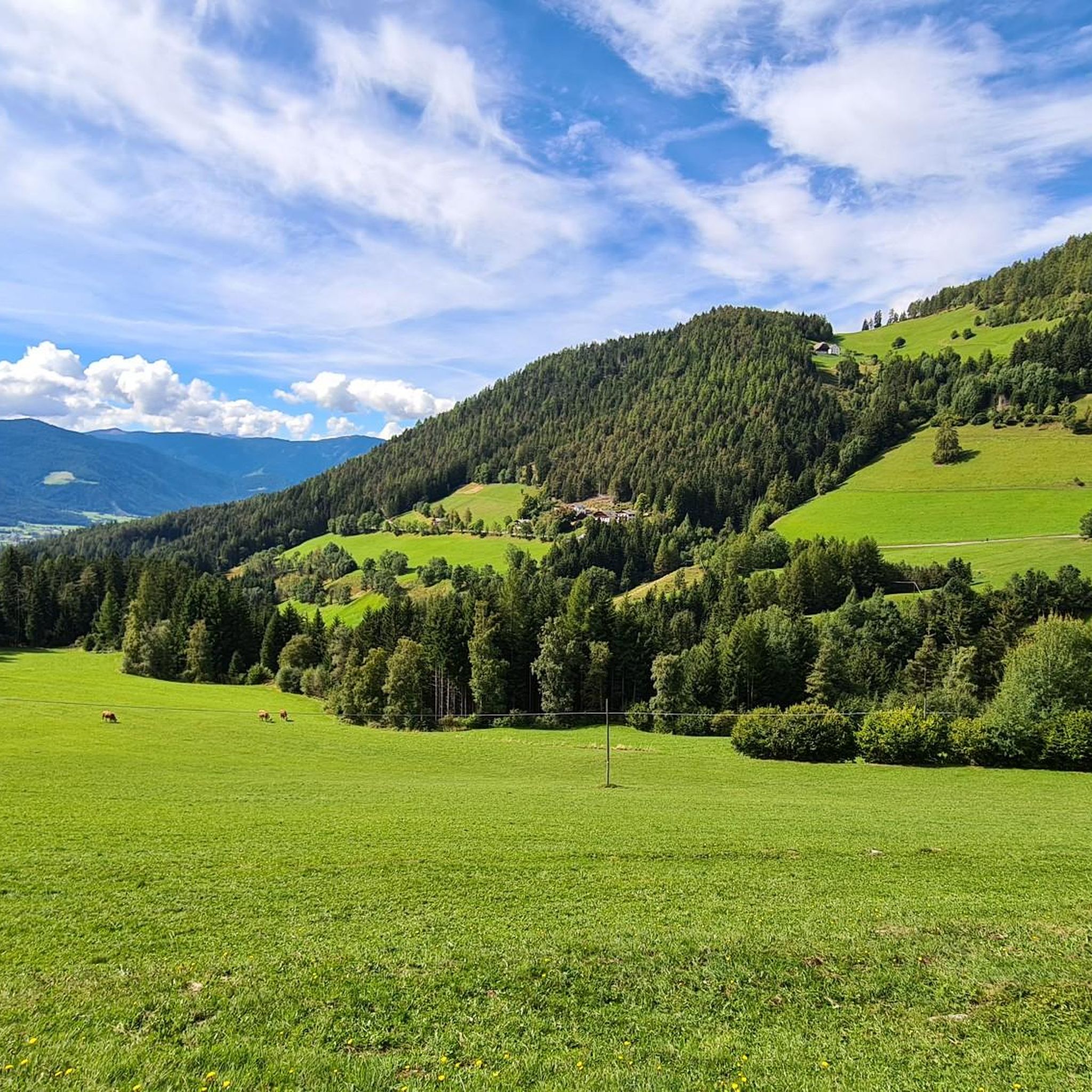
Gravel biking around Percha - Perca offers diverse terrain in the Puster Valley region of South Tyrol. The area is characterized by its river valleys, such as the Rienz and Aurino, and the surrounding foothills of the Dolomites, providing varied elevation changes. Gravel bike trails here often combine riverside paths with ascents into higher alpine meadows and forest sections.
Best gravel bike trails around Percha - Perca
- The most popular gravel bike trail is Gravelbike-Tour rund um den Kronplatz mit…
Last updated: May 24, 2026
4.7
(27)
213
riders
54.1km
05:09
1,560m
1,560m
Hard gravel ride. Very good fitness required. Mostly paved surfaces. Suitable for all skill levels.
4.7
(20)
147
riders
52.3km
04:24
1,640m
1,640m
Hard gravel ride. Very good fitness required. Mostly paved surfaces. Suitable for all skill levels.

Sign up for free
4.8
(17)
141
riders
Hard gravel ride. Very good fitness required. Mostly paved surfaces. Suitable for all skill levels.
3.5
(2)
24
riders
24.5km
03:14
1,320m
1,320m
Hard gravel ride. Very good fitness required. Mostly paved surfaces. Suitable for all skill levels.
4.3
(3)
32
riders
44.8km
04:14
1,580m
1,580m
Hard gravel ride. Very good fitness required. You may need to push your bike for some segments of this route.
Get access to more routes and recommendations from other explorers.
Sign up for free
Already have an account?
Our route recommendations are based on thousands of hikes, rides, and runs completed by other people on komoot.
Start today with a free account
Your next adventure awaits.
Login or Signup
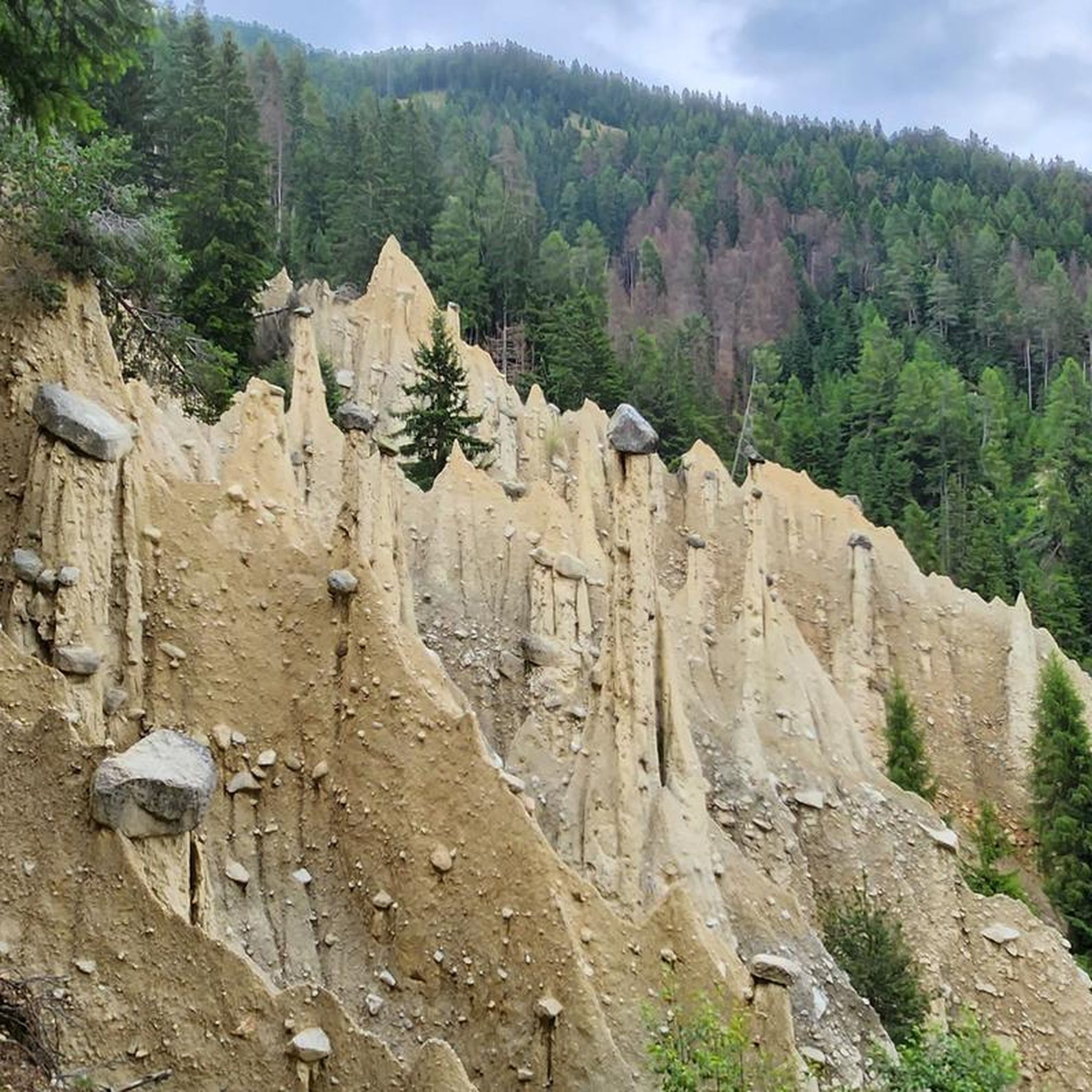
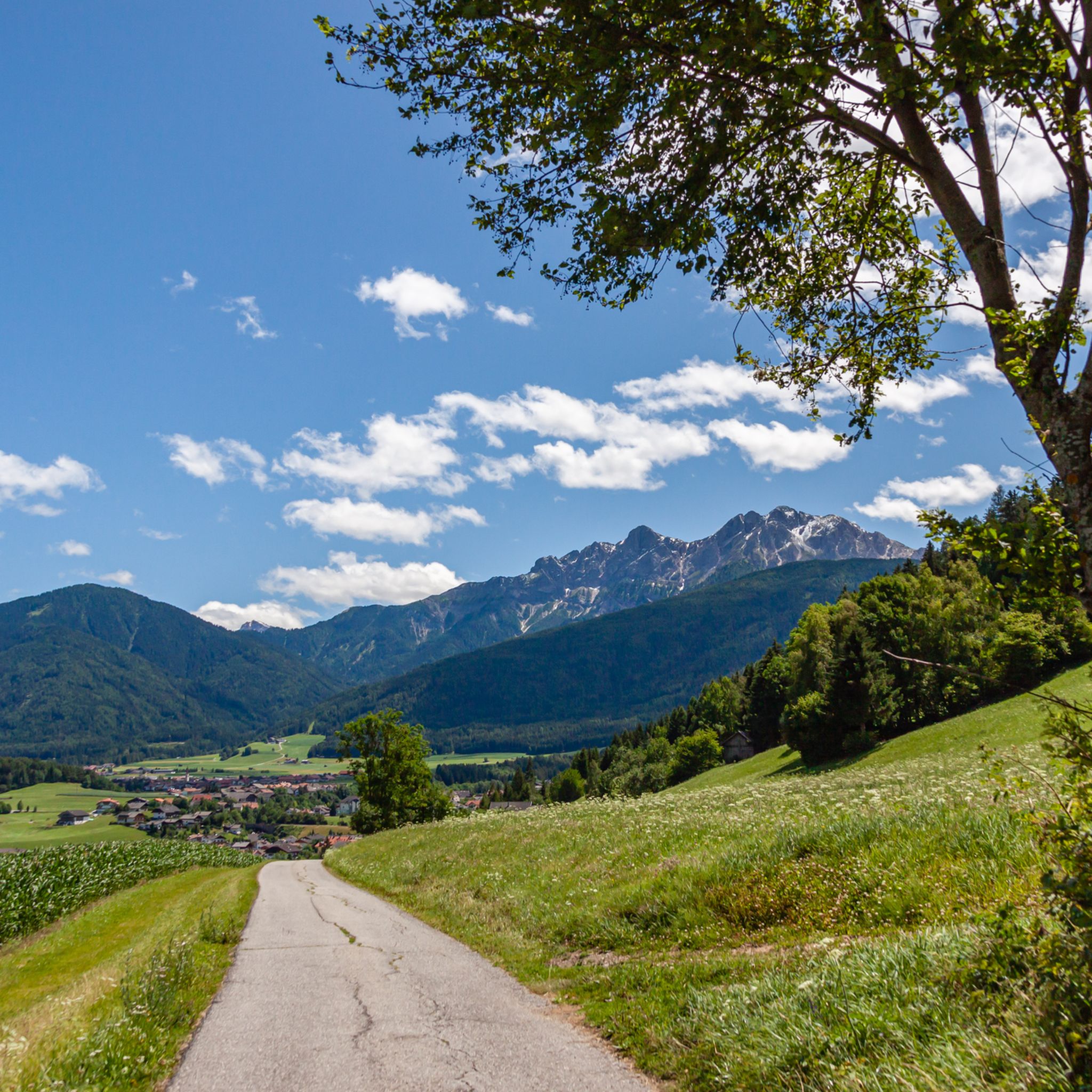
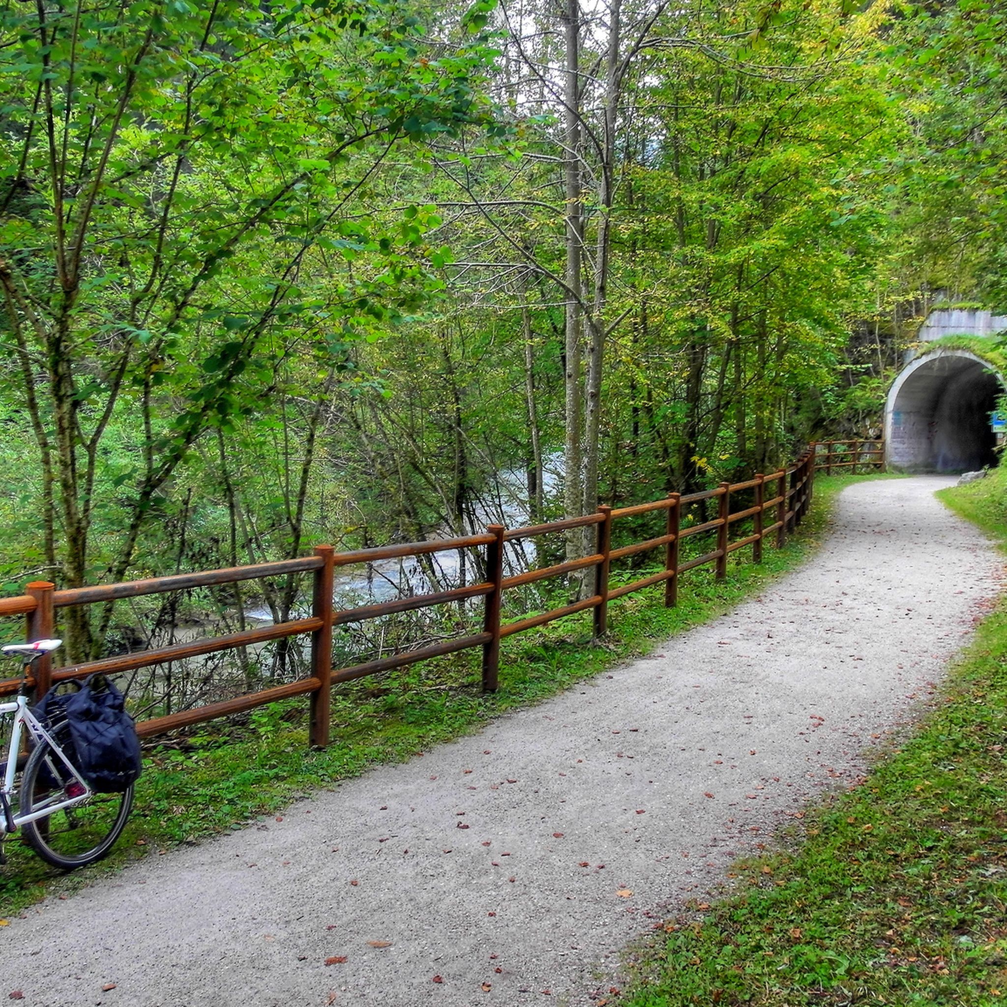
Tips from the Community

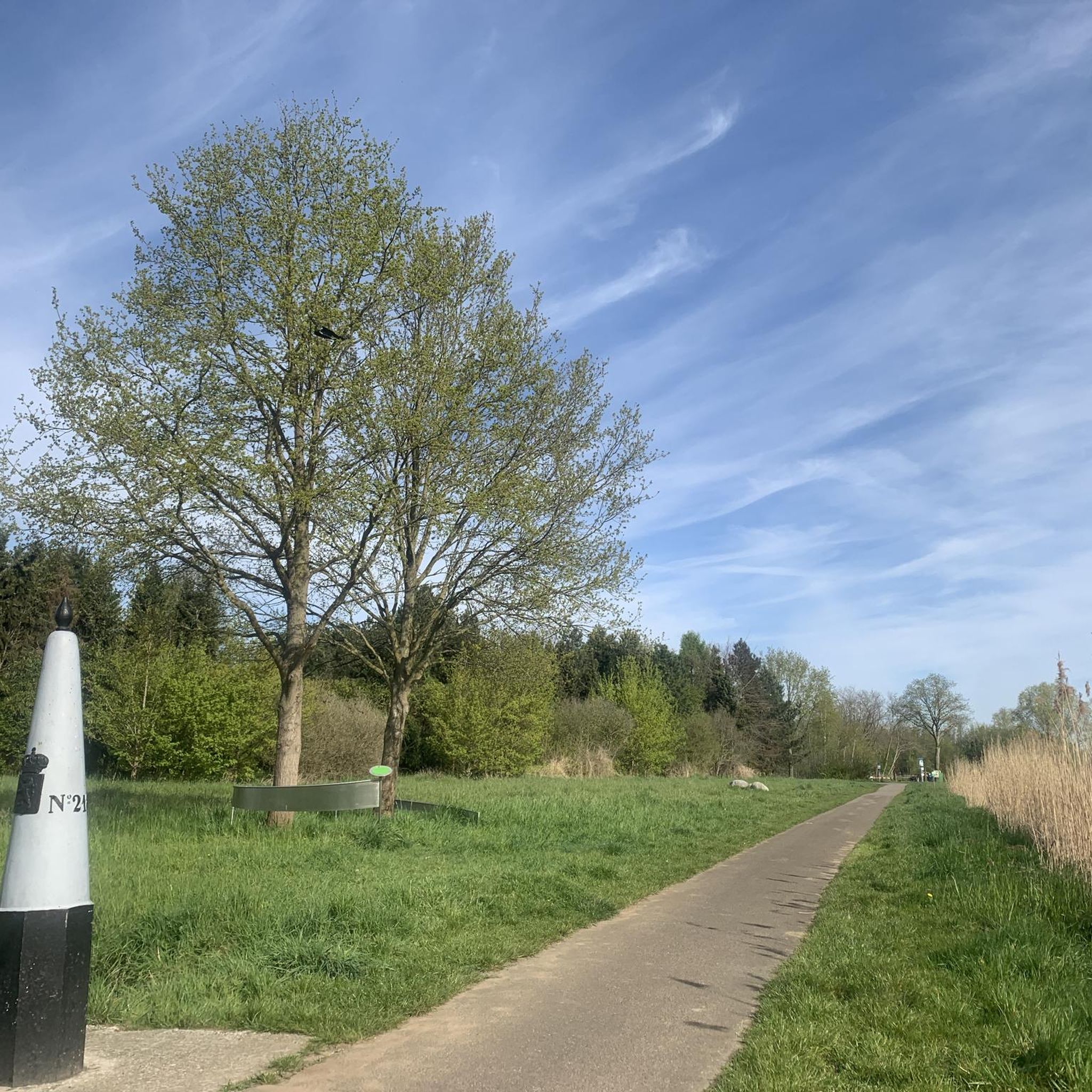
Very nice cycling route, also good to ride on very hot days as there is always some shade.
0
0

Mountain hotel near the pass.
1
0
great little pass
1
0
Beautiful cycle path, beautiful mountains
0
0
Beautiful lake, bad bike path
0
0

Lake Braies (Italian: Lago di Braies) lies at an altitude of approximately 1,500 meters in the Prags Valley, a side valley of the Puster Valley. It is considered one of the most beautiful lakes in the region and is often called the "Pearl of the Dolomites" due to its clear, emerald green to turquoise-blue shimmering water. Surrounded by steep rock faces and dense forests, the lake offers an impressive natural backdrop and is one of the most photographed motifs in South Tyrol. It is approximately 1.2 kilometers long, up to 36 meters deep, and can be circumnavigated on foot in about an hour on a scenic circular path. Excursions in traditional wooden rowboats are particularly popular in summer, lending the lake a romantic character. In addition to its scenic beauty, the lake also has historical significance, as it was the scene of a liberation of concentration camp prisoners during World War II. An information panel about this is located at the entrance to the Chapel of St. Mary.
38
0

The first "real" view of the Dolomites when driving up the Pustertal.
0
0
The cycle path runs largely away from the road and is very varied.
0
0
Frequently Asked Questions
How many gravel bike trails are available around Percha - Perca?
There are over 100 gravel bike trails around Percha - Perca, offering a wide range of options for different skill levels. The komoot community has explored these routes over 3,000 times, highlighting the area's popularity for gravel biking.
What is the best time of year for gravel biking in Percha - Perca?
The best time for gravel biking in Percha - Perca is typically from late spring through early autumn (May to October). During these months, the weather is generally mild, and the trails are clear of snow, offering optimal conditions to enjoy the river valleys and mountain foothills.
What kind of terrain can I expect on gravel bike trails around Percha - Perca?
Gravel bike trails in Percha - Perca feature diverse terrain, combining riverside paths along the Rienz and Aurino rivers with ascents into higher alpine meadows and forest sections. You can expect a mix of compacted gravel, forest roads, and some paved sections, often with significant elevation changes as you explore the foothills of the Dolomites.
Are there gravel bike trails suitable for beginners in Percha - Perca?
While many routes in Percha - Perca are rated as difficult, there are some moderate options suitable for beginners looking for a challenge or those with some gravel biking experience. These routes typically feature less extreme elevation gains and more consistent surfaces. For example, the Along the Aurino River – View of Tures Castle loop from Bruneck Nord - Brunico Nord is a moderate route that offers beautiful scenery without overly strenuous climbs.
Can I find circular gravel bike routes in the Percha - Perca area?
Yes, many gravel bike routes in Percha - Perca are designed as circular loops, allowing you to start and end at the same point. This is convenient for exploring the diverse landscapes, from river valleys to mountain views. An example is the View of Seewiese Pond – View of the Puster Valley loop from Reischach - Riscone, which offers a scenic circular ride through forested areas.
Where can I find parking for gravel biking trails in Percha - Perca?
Parking is generally available in and around the main towns and trailheads in the Percha - Perca region, such as Percha, Bruneck, and Olang. Many routes start from easily accessible points where public parking lots are provided. It's advisable to check specific starting points for detailed parking information before your ride.
Are there places to eat or drink near the gravel bike trails?
Yes, the Percha - Perca region, being part of South Tyrol, is well-equipped with traditional mountain huts (Almen) and cafes, especially in the villages and along popular routes. You'll often find opportunities to stop for refreshments or a meal, particularly on longer tours or those passing through populated areas. Many routes, like the Gravelbike-Tour rund um den Kronplatz mit Angerer Alm und Olang, pass by such establishments.
What do other gravel bikers enjoy most about the trails in Percha - Perca?
The area is highly rated by the komoot community, with an average score of 4.6 stars from over 300 reviews. Reviewers often praise the diverse terrain, the stunning panoramic views of the Dolomites, and the well-maintained network of paths that combine riverside sections with challenging mountain ascents. The variety of routes catering to different skill levels is also frequently highlighted.
Are there any advanced gravel bike routes for experienced riders?
Absolutely. Percha - Perca is particularly known for its challenging gravel bike routes, with 76 out of 102 routes rated as difficult. These advanced trails often feature significant elevation gains, technical descents, and long distances, providing a demanding experience for seasoned gravel bikers. The Rienz River in Bruneck – Strada Pliscia loop from Olang-Antholz - Valdaora-Anterselva is a prime example, offering extensive climbing and varied landscapes.
What are the conditions like for gravel biking in Percha - Perca during winter?
Gravel biking in Percha - Perca during winter can be challenging due to snow and ice, especially at higher elevations and in shaded forest sections. Many trails may be impassable or require specialized winter equipment. Lower valley routes might be rideable on milder days, but it's crucial to check local weather and trail conditions before heading out. The region is more popular for winter sports like skiing and snowshoeing during this season.
Do any gravel routes follow the Rienz or Aurino rivers?
Yes, several gravel routes in the Percha - Perca region incorporate sections along the Rienz and Aurino rivers. These river valleys are a defining characteristic of the area, offering flatter, scenic stretches that often connect to more challenging ascents into the surrounding foothills. The Rienz River in Bruneck – Strada Pliscia loop from Olang-Antholz - Valdaora-Anterselva is a notable route that follows the Rienz River.
Are there any hidden gem gravel trails or unique routes to explore?
Beyond the most popular routes, the extensive network around Percha - Perca holds many lesser-known trails that offer unique experiences. These often lead through quieter forest sections, offer unexpected views, or connect to charming small villages. Exploring routes like the Furcia Trail – Gassl Trail loop from Bruneck Nord - Brunico Nord can reveal some of the region's hidden beauty and provide a more secluded ride.
Most popular routes around Percha - Perca
Most popular attractions around Percha - Perca

Get inspired with the komoot mobile app


Explore more
Browse the best Gravel rides in other regions.
