The best gravel rides around Blevio
4.4
(59)
381
riders
18
rides
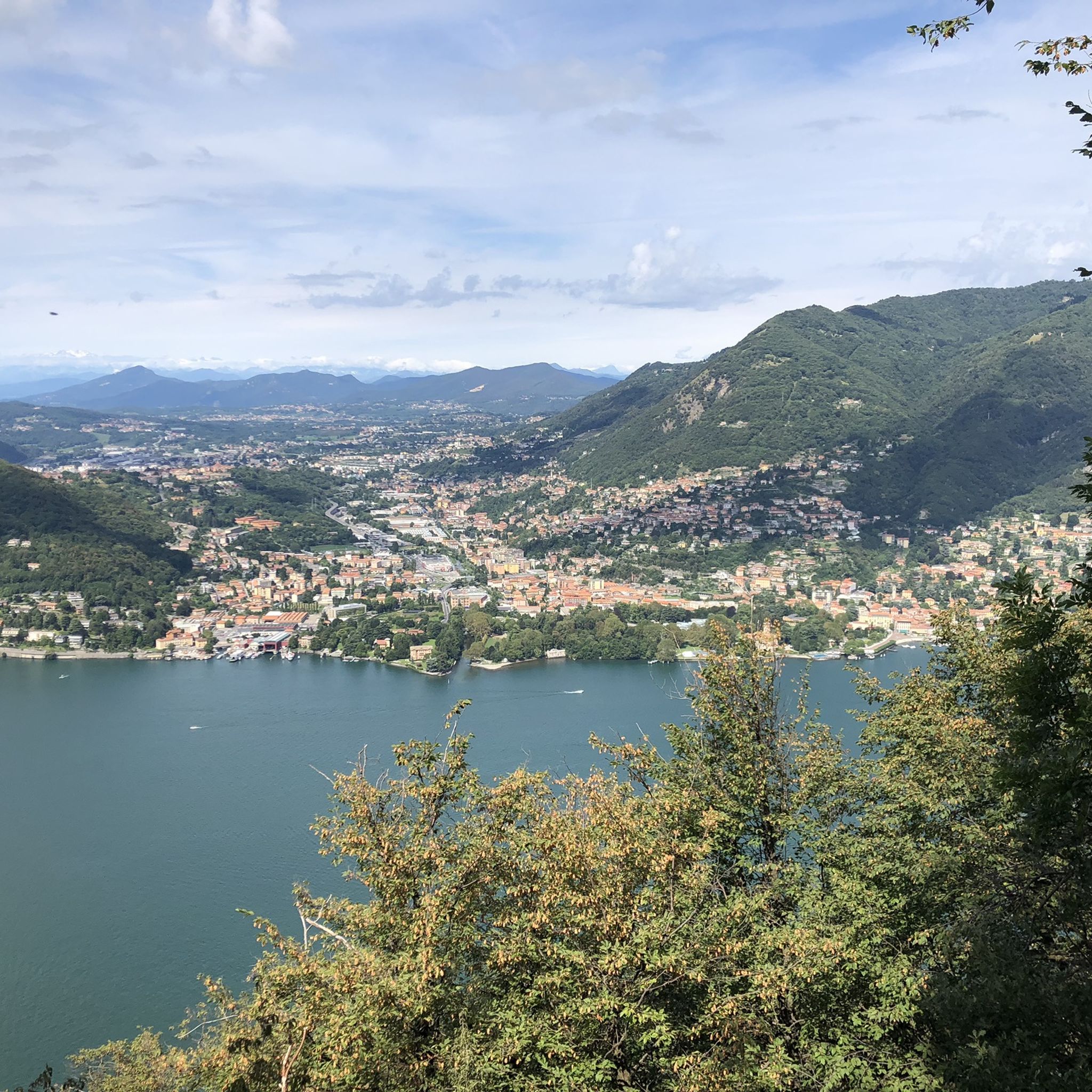
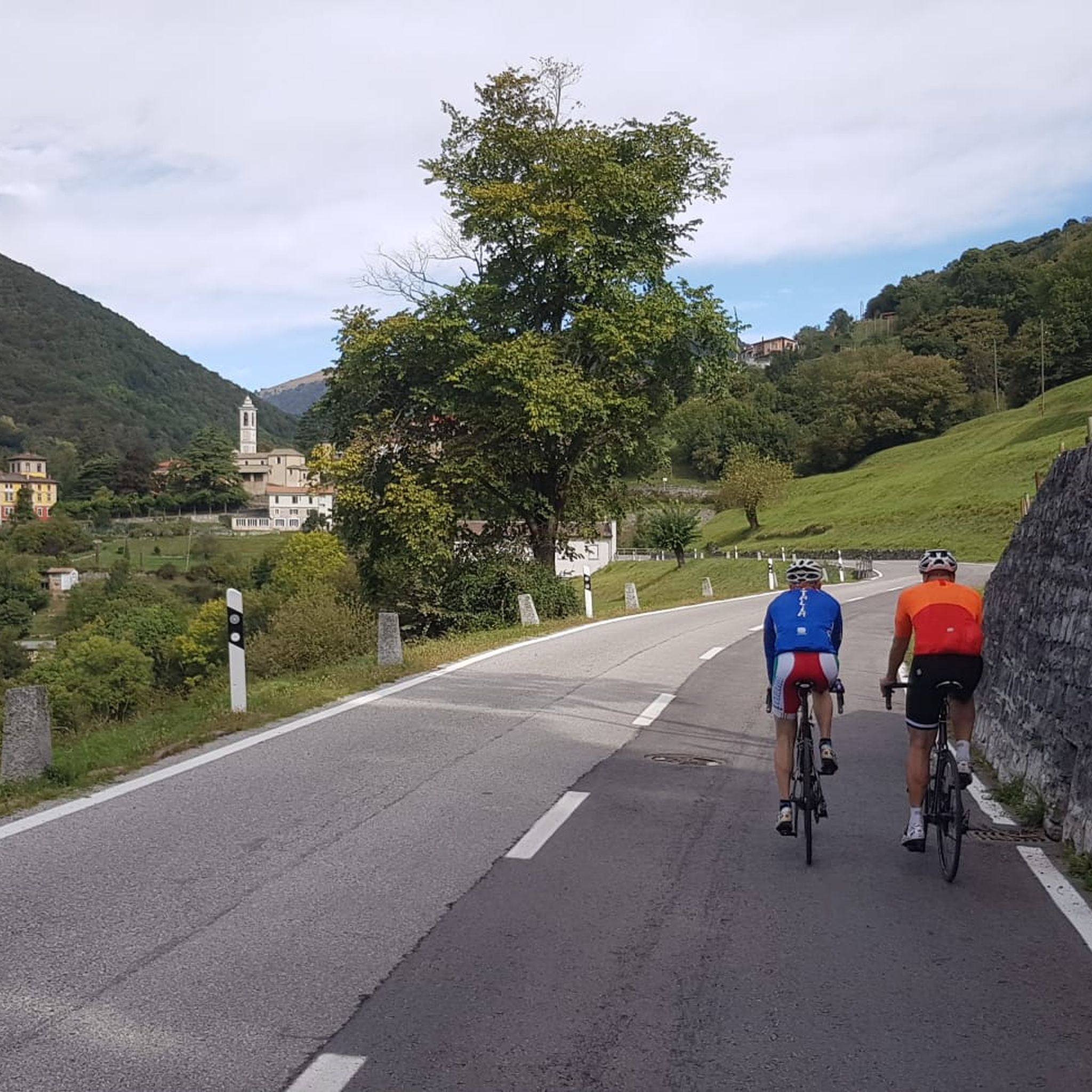
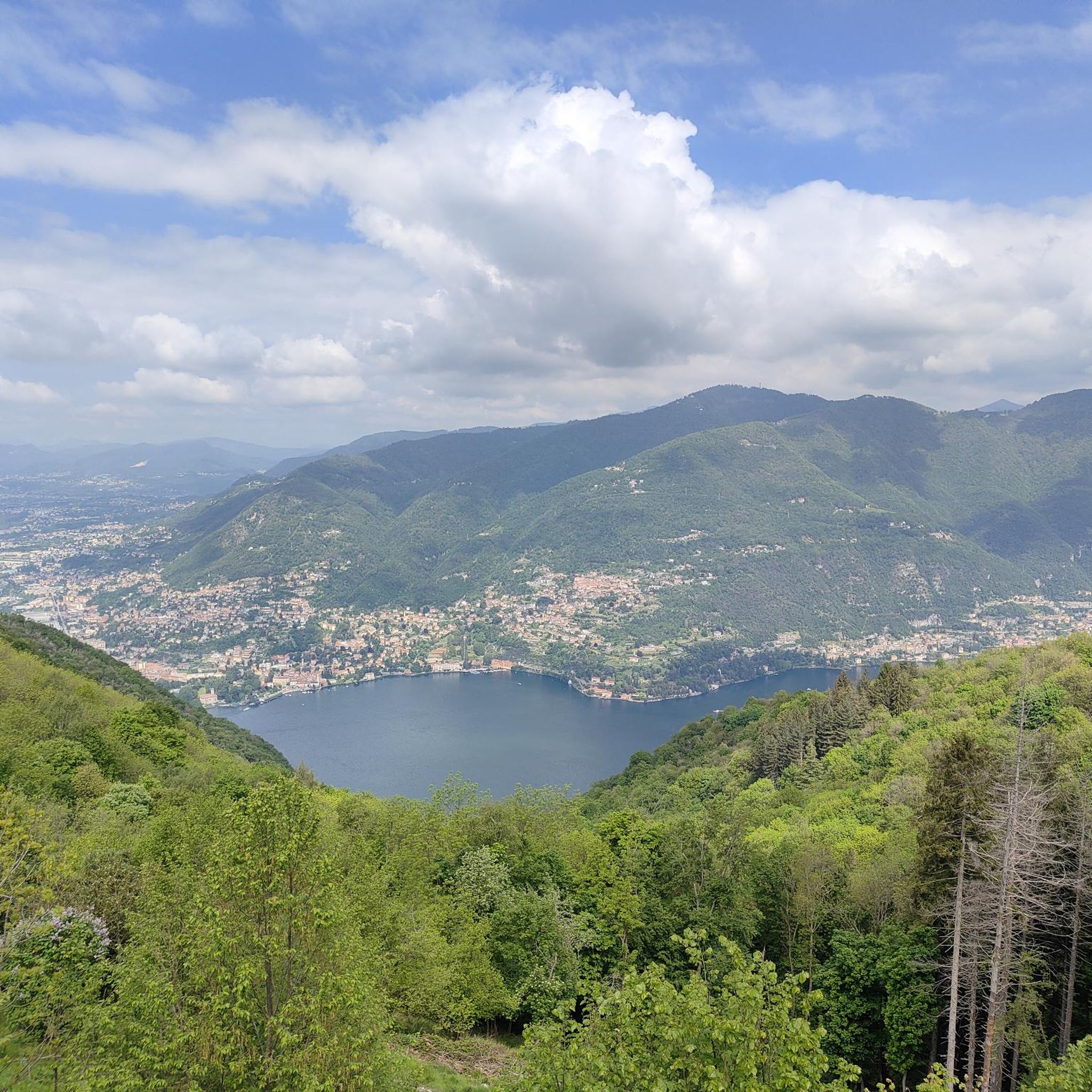
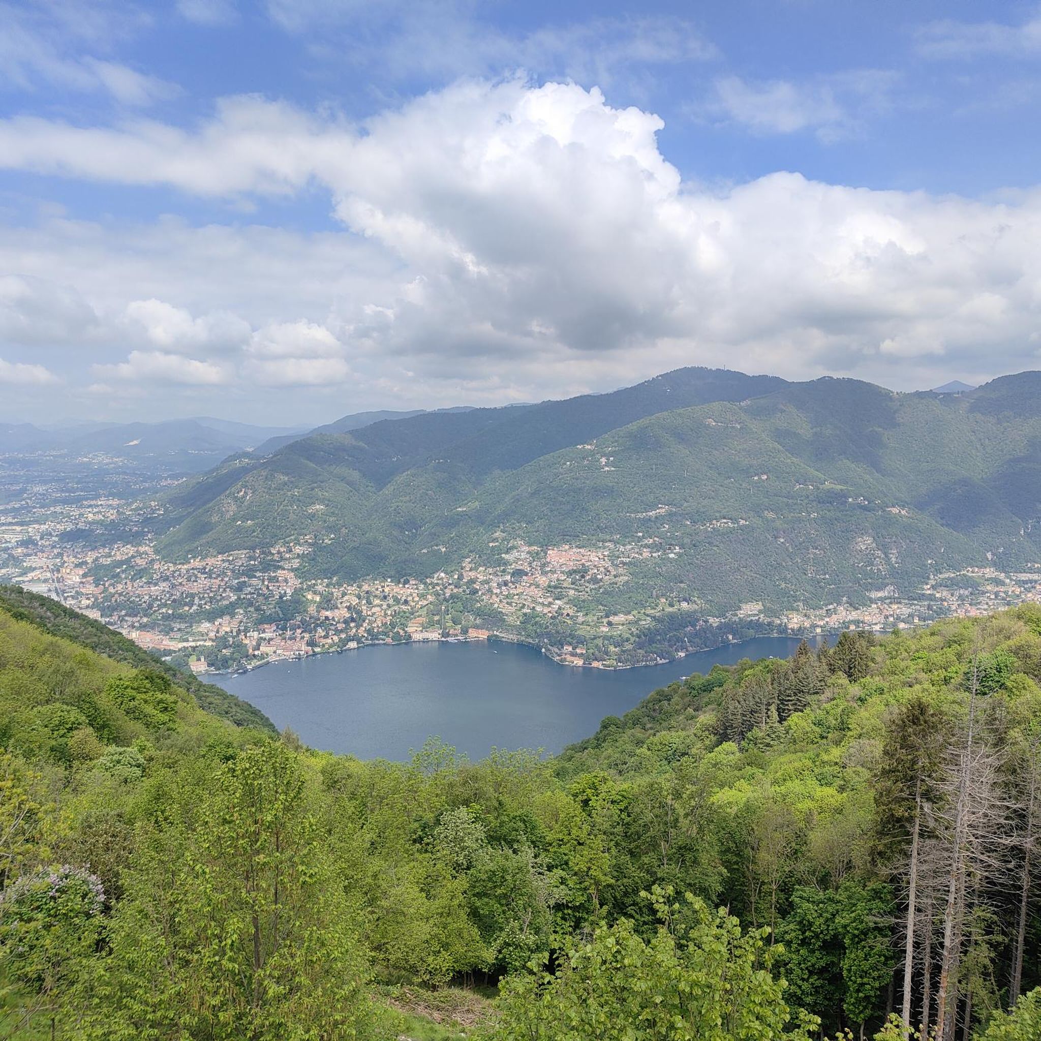
Gravel biking around Blevio offers diverse terrain for cyclists. The region is situated on the shores of Lake Como, characterized by its mountainous backdrop and varied landscapes. Riders can expect a mix of lakeside paths, forested trails, and ascents into the surrounding hills. The area provides opportunities for both challenging climbs and more moderate routes through natural settings.
Best gravel bike trails around Blevio
- The most popular gravel bike trail is San Fermo della Battaglia – Former Valmorea Railway loop…
Last updated: September 28, 2026
4.4
(9)
56
riders
Moderate gravel ride. Good fitness required. Mostly paved surfaces. Suitable for all skill levels.
4.2
(5)
33
riders
47.2km
03:39
840m
840m
Hard gravel ride. Very good fitness required. Mostly paved surfaces. Suitable for all skill levels.

4.6
(7)
70
riders
Moderate gravel ride. Good fitness required. Mostly paved surfaces. Suitable for all skill levels.
4.5
(4)
16
riders
85.9km
05:24
660m
660m
Hard gravel ride. Very good fitness required. Mostly paved surfaces. Suitable for all skill levels.
2.5
(2)
17
riders
27.1km
02:25
950m
960m
Hard gravel ride. Very good fitness required. Mostly paved surfaces. Suitable for all skill levels.
Get access to more routes and recommendations from other explorers.
Already have an account?
Our route recommendations are based on thousands of hikes, rides, and runs completed by other people on komoot.
Start today with a free account
Your next adventure awaits.
Tips from the Community

The Parco delle Groane e della Brughiera Briantea is an immense protected natural area in Lombardy that extends for about 8,249 hectares in the upper Lombardy plain, touching 28 or 29 municipalities distributed among the provinces of Milan, Como, and Monza and Brianza. [1, 2, 3, 4] Originally established in 1976, the park has doubled its surface area in recent years thanks to the incorporation of the PLIS della Brughiera Briantea and the Fontana del Guercio Nature Reserve. The term "groane" derives from the local historical name for heathlands, which here represent one of the southernmost heathlands in Europe.
0
0

The Parco delle Groane and Brughiera Briantea cycle path offers a protected route of about 35-50 kilometers immersed in nature between the provinces of Milan and Monza e Brianza
0
0
The Lura is a stream in Lombardy that originates near the Italian-Swiss border, in the municipality of Uggiate con Ronago, at an altitude of about 400 m. The Lura has a total length of 46.2 km and a drainage basin of 120 km², and is today the largest tributary of the Olona river.
0
0
The Villoresi Canal towpath connects Arese and the nearby municipalities via cycle paths and service roads, offering a convenient cycle-pedestrian route along the artificial canal that connects the Ticino and Adda rivers.
0
0

bridge over the Lura in the homonymous park
0
0


always very fun to cycle on these dirt roads!!
2
0

Pay attention to the GPS directions as they are not always accurate
2
0
Frequently Asked Questions
How many gravel bike trails are available around Blevio?
There are over 25 gravel bike trails documented around Blevio on komoot, offering a variety of experiences for different skill levels.
Are there gravel bike trails suitable for beginners or families in Blevio?
While Blevio's terrain often includes ascents, there are 8 moderate routes that could be suitable for beginners or families looking for a less strenuous ride. For example, the Historic Well of Minoprio – Laghetto di Casnate loop from Como Nord Borghi is a moderate 23.9-mile trail with varied landscapes.
What kind of challenges can I expect on advanced gravel bike routes in Blevio?
Experienced riders will find 18 difficult routes around Blevio, characterized by significant elevation gains and longer distances. The Along the Lura stream – Lura River in the Parco del Lura loop from Coloniola, for instance, is a challenging 52.8-mile path exploring riverside areas.
Are there circular gravel bike routes or loops available from Blevio?
Yes, many routes in the Blevio area are designed as loops. The Lake Montorfano – Lake Montorfano loop from Como San Giovanni is a moderate 23.8-mile circular route, and the Lake Montorfano – Panoramic view of Como from Brunate loop from Como offers a more difficult 37.3-mile option with scenic views.
What are some scenic viewpoints or attractions along the gravel bike trails near Blevio?
The region offers several natural attractions. You can explore caves like Buco del Piombo or Marenghi Park Marian Grotto. Gorges such as Nesso Gorge and the Nesso Gorge and Civera Bridge are also notable points of interest.
What is the best season for gravel biking around Blevio?
The best seasons for gravel biking in Blevio are generally spring and autumn, when the weather is milder and the natural scenery is at its most vibrant. Summer can be pleasant, especially in the mornings or late afternoons, but midday temperatures can be high. Winter rides are possible but require appropriate gear for colder conditions.
What do other gravel bikers enjoy most about the trails in Blevio?
The komoot community highly rates the gravel biking experience in Blevio, with an average score of 4.2 stars from over 50 reviews. Riders often praise the diverse terrain, which includes a mix of lakeside paths, forested trails, and challenging hilly ascents, as well as the scenic beauty of the Lake Como area.
Are there any less crowded gravel trails in the Blevio area?
While specific crowd levels can vary, exploring routes slightly further from the immediate lakeside or venturing into the more challenging, longer trails tends to offer a quieter experience. The extensive Along the Lura stream – Lura River in the Parco del Lura loop from Coloniola might provide more solitude due to its length.
What are the typical trail conditions for gravel biking in Blevio?
Gravel bike trails around Blevio feature a mix of surfaces, including compacted gravel, forest paths, and some paved sections, especially near towns or connecting routes. Conditions can vary with weather, so it's always advisable to check recent tour reports on komoot for the most up-to-date information, especially after heavy rain.
Can I find cafes or places to stop for refreshments along the gravel bike routes?
Many routes pass through or near small towns and villages around Lake Como where you can find cafes, restaurants, and shops for refreshments. Planning your route with komoot allows you to identify potential stops and highlights along your chosen path.
Is parking available for gravel bikers in Blevio or nearby starting points?
Parking is generally available in Blevio and other starting points like Como San Giovanni or Coloniola, though it may vary from free to paid options. It's recommended to check local parking regulations and availability, especially during peak tourist seasons.
Most popular attractions around Blevio

Get inspired with the komoot mobile app


Explore more
Browse the best Gravel rides in other regions.
