The best gravel rides around Esine
4.3
(12)
243
riders
31
rides
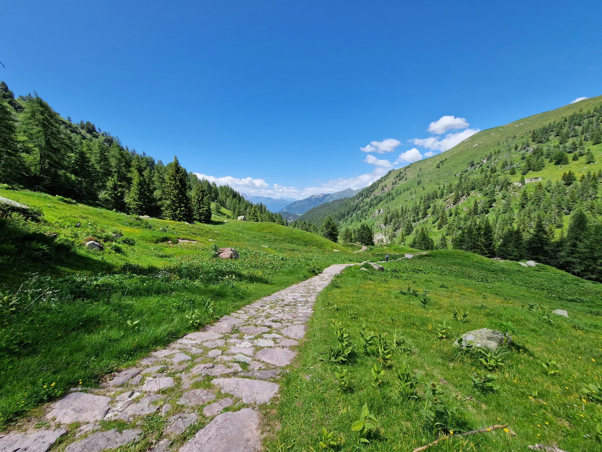
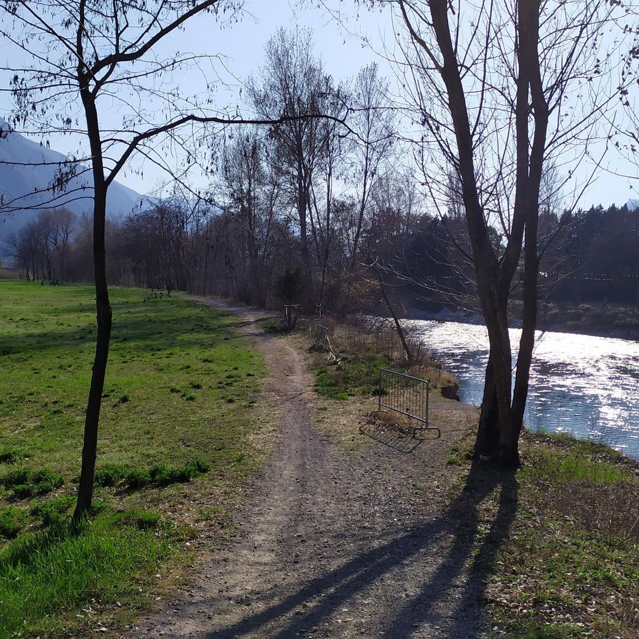
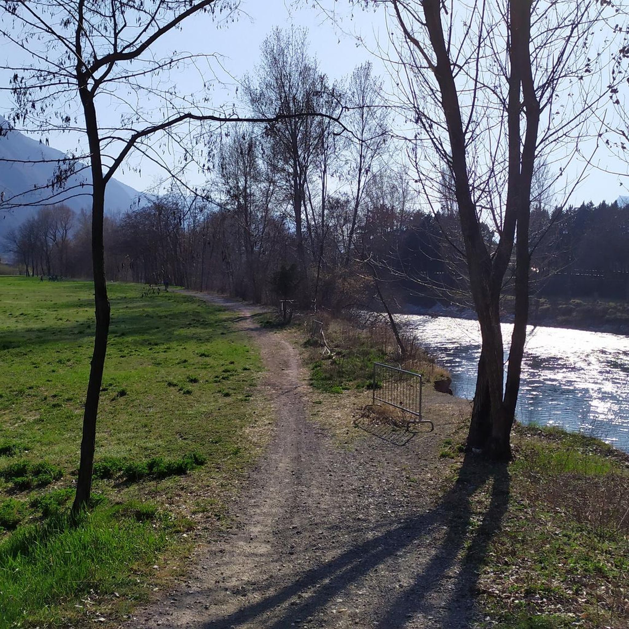
Gravel biking around Esine is characterized by its varied topography, encompassing river valleys, mountainous ascents, and scenic lake areas within the Val Camonica. The region features a mix of paved and unpaved paths, including dedicated cycle tunnels and routes alongside the Oglio river. Riders can expect diverse terrain, from challenging climbs in the Monti di Cerveno to more moderate paths. This area offers a blend of natural beauty and historical sites, ideal for gravel cycling.
Best gravel bike trails around…
Last updated: July 4, 2026
5.0
(2)
26
riders
30.0km
01:59
310m
320m
Moderate gravel ride. Good fitness required. Mostly paved surfaces. Suitable for all skill levels.
12
riders
43.7km
03:50
1,380m
1,380m
Hard gravel ride. Very good fitness required. Mostly paved surfaces. Suitable for all skill levels.

Sign up for free
22
riders
45.5km
03:59
1,720m
1,720m
Hard gravel ride. Very good fitness required. Mostly paved surfaces. Suitable for all skill levels.
3.8
(4)
15
riders
Moderate gravel ride. Good fitness required. Mostly paved surfaces. Suitable for all skill levels.
11
riders
67.5km
05:00
1,770m
1,770m
Hard gravel ride. Very good fitness required. Mostly paved surfaces. Suitable for all skill levels.
Get access to more routes and recommendations from other explorers.
Sign up for free
Already have an account?
Our route recommendations are based on thousands of hikes, rides, and runs completed by other people on komoot.
Start today with a free account
Your next adventure awaits.
Login or Signup
Other adventures around Esine

Tips from the Community

By train to Edolo and then by bike up to Ponte di legno. The next day, departure in four stages to Mantua. Beautiful cycle path. Recommended
0
0

🏔️ Monte Altissimo — Identity and location Monte Altissimo is the highest peak of the short mountain range that separates Bassa Val Camonica and Valle di Scalve. It is known for two very different slopes: North slope (Borno): gentle, wooded, with ski slopes and mountain huts. South slope (Erbanno–Gorzone): steep, rocky, with significant elevation changes. This dual nature is also confirmed by the hiking itineraries documented online . 🚶♂️ The main documented itineraries Online sources show several routes, including: 1) From Croce di Salven – Path 6 (classic loop) Passes through Pozze di Val Sorda, Rifugio Lorenzini, Malga Guccione. A very popular loop itinerary, with a gentle and scenic ascent. Data confirmed by hikr.org (loop with ascent from Croce di Salven) . 2) From Borno – Via Mine e Segable A longer and scenic itinerary, with passages over woods, mountain huts, and ridges. Documented in detail on Wikiloc, with a complete description of path 112 → 151 → 155 . 3) From Erbanno – Path 155 Steep and challenging ascent, with sections on rocky outcrops. Direct connection to the final ridge of the Altissimo. 🏞️ Environment and notable points Sources confirm the places you have already visited: Pozze di Val Sorda: damp and bright clearings. Rifugio Colonnello Ferruccio Lorenzini: in the Pratolungo basin, at 1478 m. Malga Guccione: a passing point before the final ascent. Borno ski slopes: often used for descent on winter loops.
0
0
The Malga di Val Sorda is not a "classic" alpine pasture hut with grazing activities, but a hiking landmark located in the large meadow of Val Sorda, along the paths that lead from Croce di Salven towards Pratolungo, Malga Guccione, and finally Monte Altissimo. Online information describes it as part of the valley's pasture and pool system, crossed by CAI trails 186 and 187. 📍 Location The hut is located in the central pasture of Val Sorda, reached after about 1h10 of walking from Croce di Salven along trail 186. It is a junction point between: trail 186 (towards Pratolungo and Altissimo) trail 187 (steeper, climbs towards the Val Sorda refuge/structure)
0
0

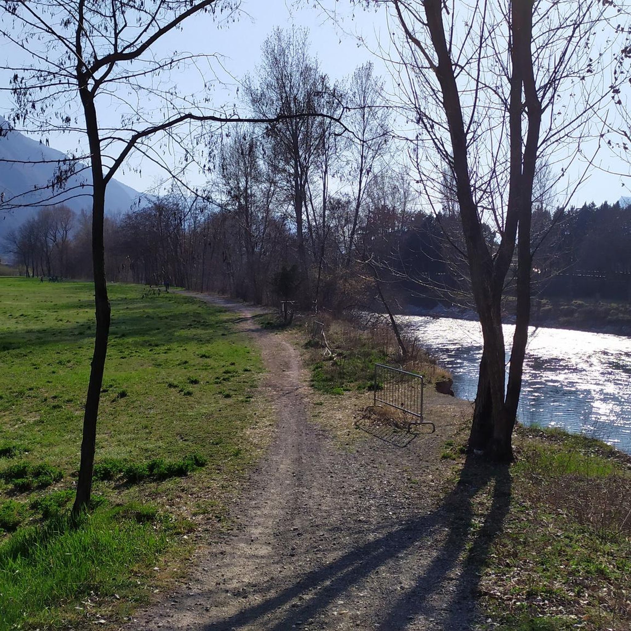
Nice, historic, relaxing...a beautiful ride along the Oglio cycle path.
0
0

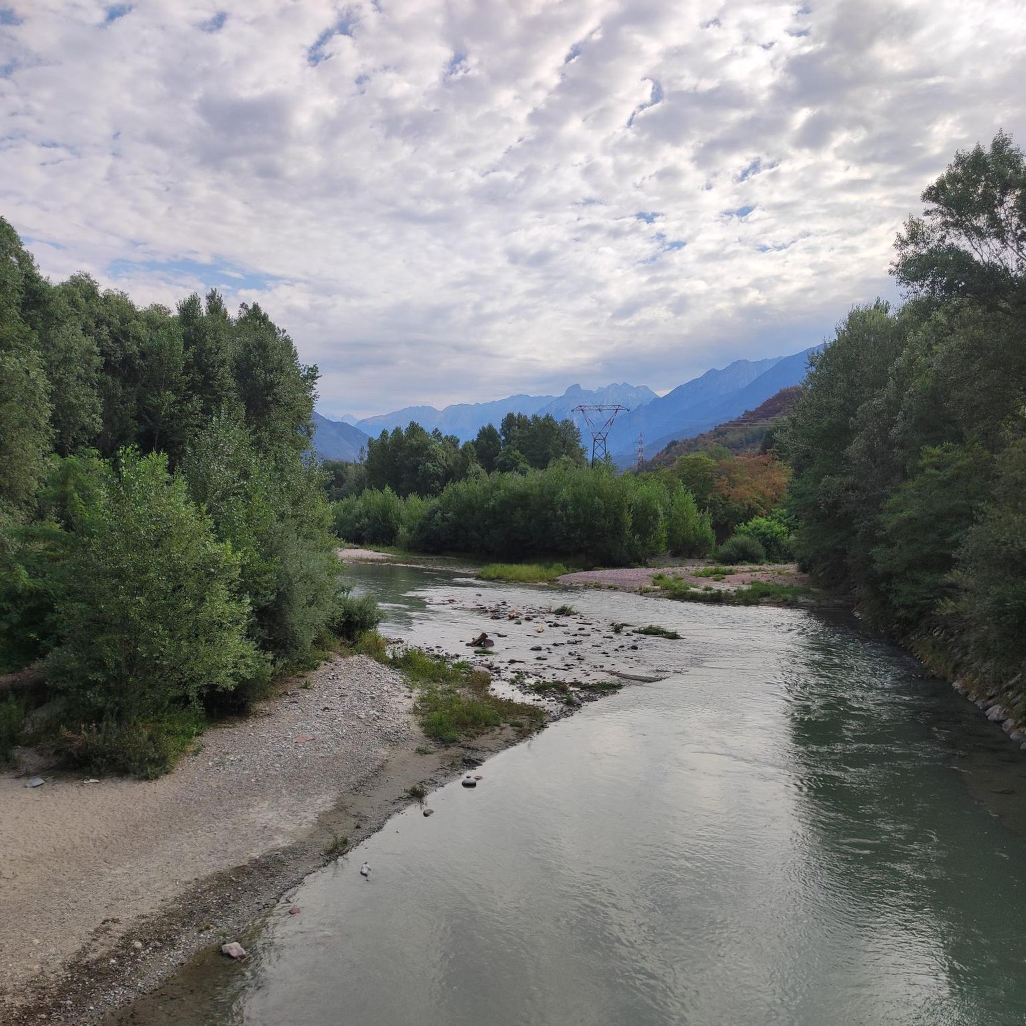
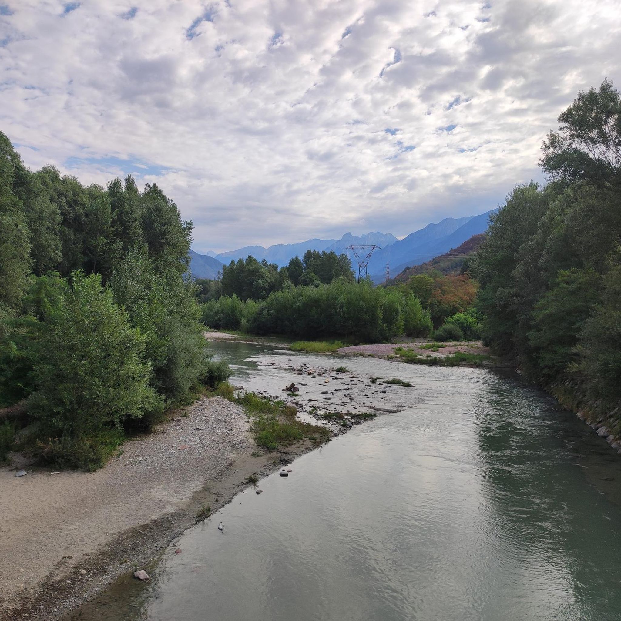
Stone bridge with nice views around. The river was brown due to heavy rain some hours earlier.
1
0

To reach Montecchio di Darfo, starting from Boario, you cross the so-called "Roman Bridge," also known as the Montecchio Bridge. It is a scenic 24-meter, single-span bridge, built from blocks of granite and Simona stone in 1686, over the remains of an older bridge that connected the medieval castle on Monticolo to the opposite bank of the river. It has been recognized as a national monument. (from valcamonicaaccessibile.it)
0
0
To reach Montecchio di Darfo, starting from Boario, you cross the so-called "Roman bridge." It is a scenic 24-meter, single-span bridge, built from blocks of granite and Simona stone in 1686, over the remains of an older bridge that connected the medieval castle on Monticolo to the opposite bank of the river. It has been recognized as a national monument.
0
0

A very pleasant climb from Val di Scalve to Borno. Beautiful and not particularly challenging. 😊
2
0
Frequently Asked Questions
How many gravel bike trails are available around Esine?
There are over 35 gravel bike routes around Esine, offering a diverse range of experiences from moderate loops to challenging mountain ascents. The komoot community has explored these trails over 290 times, contributing to an average rating of 4.8 stars.
What kind of terrain can I expect on gravel bike trails in Esine?
Gravel biking around Esine features a varied topography, including scenic river valleys, significant mountainous ascents, and picturesque lake areas. You'll encounter a mix of paved and unpaved paths, dedicated cycle tunnels, and routes that follow the Oglio river, particularly in Val Camonica.
Are there any beginner-friendly gravel bike trails in Esine?
While many routes in Esine are rated as difficult, there are options for less experienced riders. For example, the By bike along the Oglio – Cividate-Breno Cycle Tunnel loop from Breno is a moderate 38.7 km route with less elevation gain, making it a good choice for those looking for a more relaxed ride.
Where can I find challenging gravel bike routes in Esine?
For advanced gravel bikers seeking a challenge, the region offers routes with significant elevation gain. Consider the Monti di Cerveno – Prato Torio loop from Borno, which covers 43.7 km with over 1300 meters of climbing through mountainous terrain. Another demanding option is the Cividate-Breno Cycle Tunnel – By bike along the Oglio loop from Esine, a difficult 82.8 km path incorporating a cycle tunnel and river sections.
Are there any long-distance gravel bike routes around Esine?
Yes, for those looking for longer rides, the Cividate-Breno Cycle Tunnel – By bike along the Oglio loop from Esine is a substantial 82.8 km route. It's a challenging ride that takes you along the Oglio river and through a cycle tunnel, typically requiring over 6 hours to complete.
What are some notable viewpoints or landmarks along the gravel routes?
Many routes offer stunning views, especially those climbing into the mountains. For panoramic vistas of Val Camonica, consider the View of Val Camonica – Passo Crocedomini loop from Prestine. You can also explore nearby mountain passes like Passo Crocedomini or Presolana Pass, which are popular highlights in the area.
Are there any circular gravel bike routes in Esine?
Many of the gravel bike routes around Esine are designed as loops, allowing you to start and finish in the same location. Examples include the Monti di Cerveno – Prato Torio loop from Borno and the Lake Moro – By bike along the Oglio loop from Breno.
Can I find places to stop for refreshments or rest along the trails?
Yes, the region has various huts and cabins that can serve as excellent rest stops. Highlights like San Fermo Hut, Baita Termen, and Dosso Rotondo Hut are popular choices for a break or a meal, often located along or near popular routes.
What is the best time of year for gravel biking in Esine?
The varied topography of Esine means that different seasons offer unique experiences. Spring and autumn generally provide pleasant temperatures for riding. While some higher mountain passes might be inaccessible in winter due to snow, routes along the Oglio river and through cycle tunnels can often be enjoyed year-round.
Are there any routes that pass by Lake Moro?
Yes, the Lake Moro – By bike along the Oglio loop from Breno is a 41.4 km difficult route that takes you past the scenic Lake Moro, offering beautiful lakeside views as part of your gravel biking adventure.
What do other gravel bikers enjoy most about Esine?
The komoot community highly rates the gravel biking experience in Esine, with an average score of 4.8 stars from over 16 reviews. Riders frequently praise the diverse terrain, from challenging mountain climbs to scenic river paths and unique cycle tunnels, as well as the stunning natural beauty of Val Camonica.
Most popular attractions around Esine

Get inspired with the komoot mobile app


Explore more
Browse the best Gravel rides in other regions.
