The best gravel rides around Forni Di Sopra
4.7
(4)
28
riders
3
rides
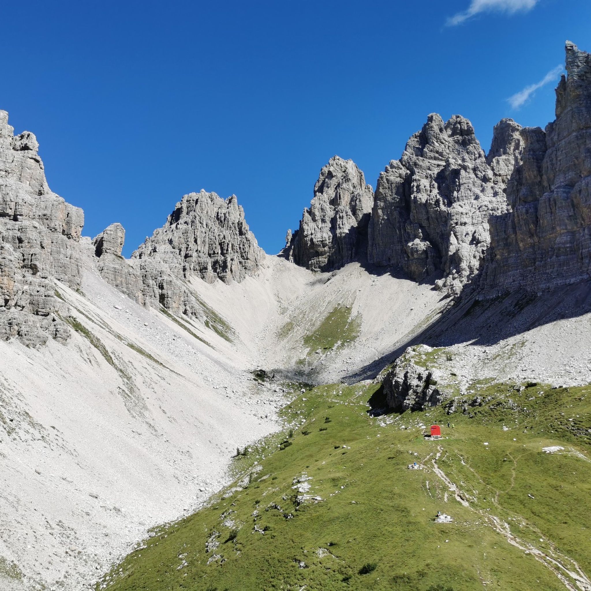
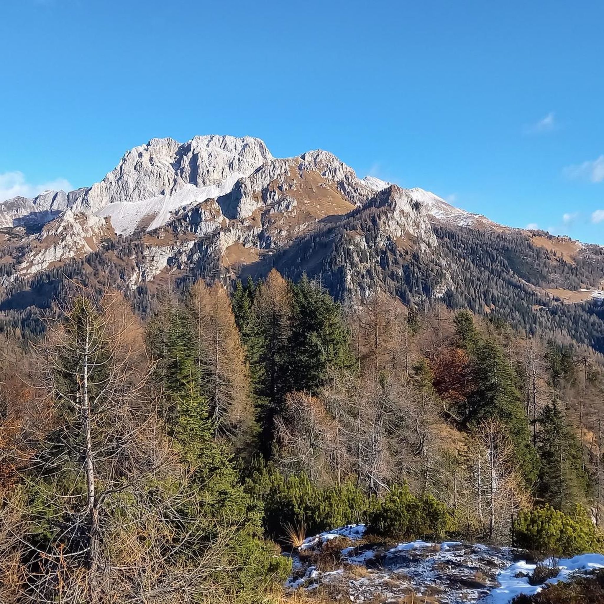
Gravel biking around Forni Di Sopra offers diverse terrain within the Friulian Dolomites Natural Park, a UNESCO World Heritage site. The region is characterized by jagged Dolomite peaks, deep valleys, and lush green woods, with the Tagliamento valley running through it. Gravel cyclists can expect a mix of paved roads, hard-packed dirt, and unpaved segments, providing varied experiences. This landscape provides a network of trails suitable for exploring high-altitude grasslands and forests.
Best gravel bike trails around Forni Di Sopra
- The most popular gravel bike trail is Lake Sauris – Lake Sauris loop from Sauris di Sotto / Dörf / Sauris Disot, an 11.6 miles (18.7 km) trail that takes 1 hour 43 minutes to complete, offering a challenging loop around Lake Sauris.
- Another top favourite among local gravel bikers is Sesis Valley Road – Source of the Piave River loop from Santo Stefano di Cadore, a difficult 31.9 miles (51.3 km) path. This route traverses the Sesis Valley and leads towards the source of the Piave River, featuring significant elevation changes.
- Local gravel bikers also love the Sella Ciampigotto – Sella Ciampigotto Pass loop from Vigo di Cadore, a 20.7 miles (33.4 km) trail leading through mountain passes and high-altitude terrain, often completed in about 3 hours 15 minutes.
- Gravel biking around Forni Di Sopra is defined by jagged Dolomite peaks, deep valleys, and unpaved roads. The extensive network offers options for different ability levels, from valley floor paths to more challenging mountain trails.
- The routes in Forni Di Sopra are highly rated by the komoot community with an average score of 5.0 stars from over 1 review. More than 18 gravel bikers have used komoot to explore Forni Di Sopra's varied terrain.
Last updated: July 4, 2026
5.0
(1)
9
riders
18.7km
01:44
640m
650m
Hard gravel ride. Very good fitness required. Mostly paved surfaces. Suitable for all skill levels.
4.3
(3)
7
riders
42.2km
03:29
1,060m
1,060m
Hard gravel ride. Very good fitness required. Mostly paved surfaces. Suitable for all skill levels.

Sign up for free
2
riders
51.3km
04:12
1,550m
1,550m
Hard gravel ride. Very good fitness required. Mostly paved surfaces. Suitable for all skill levels.
4
riders
Hard gravel ride. Very good fitness required. Mostly paved surfaces. Suitable for all skill levels.
6
riders
33.4km
02:42
1,080m
1,080m
Hard gravel ride. Very good fitness required. Mostly paved surfaces. Suitable for all skill levels.
Our route recommendations are based on thousands of hikes, rides, and runs completed by other people on komoot.
Start today with a free account
Your next adventure awaits.
Login or Signup

Tips from the Community

A very romantic source of a large river. Benches around the spring invite you to take a break.
1
0

Piave, beautiful views, unfortunately a lot of traffic.
2
0
I only drove a short distance; the old road was still okay here. Things get interesting in the upper section with the hairpin bends and beyond.
3
0
Beautiful view of the Piave.
2
0

If you do it on foot, suitable shoes, path for many but not for everyone
0
0
Not too difficult but you need to be quite fit and it's a long way up to the top.
0
0

In Sappada, don't miss the Piave Springs, located at 1,830 meters in the Sesis Valley, at the foot of Mount Peralba. Hikes to various peaks depart from here. The area, accessible to all, offers stunning Alpine landscapes, flower-filled pastures, and trails through nature and history.
1
0

Frequently Asked Questions
What kind of terrain can I expect on gravel bike trails around Forni di Sopra?
The region, nestled within the Friulian Dolomites Natural Park, offers a diverse mix of terrain. You'll encounter paved roads, hard-packed dirt, and unpaved segments, including extensive forest paths, mule tracks, and forest roads of packed earth or gravel. This variety provides a true immersion in the mountain world, from valley floors to higher alpine basins.
Are there gravel bike routes suitable for beginners in Forni di Sopra?
While the listed routes are generally considered difficult, the extensive network around Forni di Sopra does offer options for different ability levels. The area features diverse terrain, including some easier, flowing loops through lush meadows and along the Tagliamento River, which are more suitable for leisurely rides. It's best to check individual route details for specific difficulty ratings.
What are some of the longer gravel bike routes available?
For a longer and more challenging ride, consider the Sesis Valley Road – Source of the Piave River loop from Santo Stefano di Cadore. This difficult route spans 31.9 miles (51.3 km) and features significant elevation changes as it traverses the Sesis Valley towards the source of the Piave River.
Are there any circular gravel bike routes in the area?
Yes, several routes are designed as loops. For example, the Lake Sauris – Lake Sauris loop from Sauris di Sotto / Dörf / Sauris Disot is an 11.6-mile (18.7 km) challenging loop around Lake Sauris. Another option is the Sella Ciampigotto – Sella Ciampigotto Pass loop from Vigo di Cadore, which covers 20.7 miles (33.4 km) through mountain passes.
What kind of natural attractions can I see along the gravel bike trails?
The routes often wind through breathtaking scenery. You can expect dramatic Dolomite peaks, lush alpine basins, and deep forests. The area is part of the Friulian Dolomites Natural Park, offering unspoiled environments. You might also encounter the pristine Tagliamento River, which finds its source here. Notable highlights in the broader region include the Campanile of Val Montanaia, a striking natural monument.
Are there mountain huts or refuges along the routes for breaks?
Yes, the landscape is dotted with mountain huts and refuges that serve as excellent points for breaks and sustenance. Examples include Giaf Hut, Rifugio Flaiban Pacherini, and Rifugio Pordenone, which often offer panoramic views.
What is the best season for gravel biking in Forni di Sopra?
The region is best enjoyed from late spring through early autumn. During these months, the weather is generally more stable, and the trails are clear of snow, allowing access to higher-altitude paths and mountain passes. The lush green meadows and forests are at their most vibrant, offering picturesque views.
What do other gravel bikers enjoy most about the trails in Forni di Sopra?
The area is highly rated by the komoot community, with an average score of 5.0 stars. Riders often praise the spectacular alpine scenery, the diverse terrain that keeps rides interesting, and the opportunity to explore extensive forest paths and unpaved roads away from motorized traffic, providing a sense of solitude and immersion in nature.
Are there any historical or cultural points of interest to see while cycling?
Beyond natural beauty, the area features charming old villages with lovingly cared-for houses made of stone and wood, and ancient churches. You might also come across archaeological sites, adding a cultural dimension to your outdoor experience. The Romiti Hermitage is one such religious building that can be found in the vicinity.
Is public transport available to access gravel bike trails in Forni di Sopra?
While specific public transport links directly to trailheads can vary, Forni di Sopra is generally accessible by regional bus services. However, for maximum flexibility and direct access to various starting points for gravel biking, traveling by car is often recommended. Parking is typically available in the main villages and at popular trail access points.
Most popular attractions around Forni Di Sopra

Get inspired with the komoot mobile app


Explore more
Browse the best Gravel rides in other regions.
