The best gravel rides around Sutrio
4.7
(52)
511
riders
20
rides
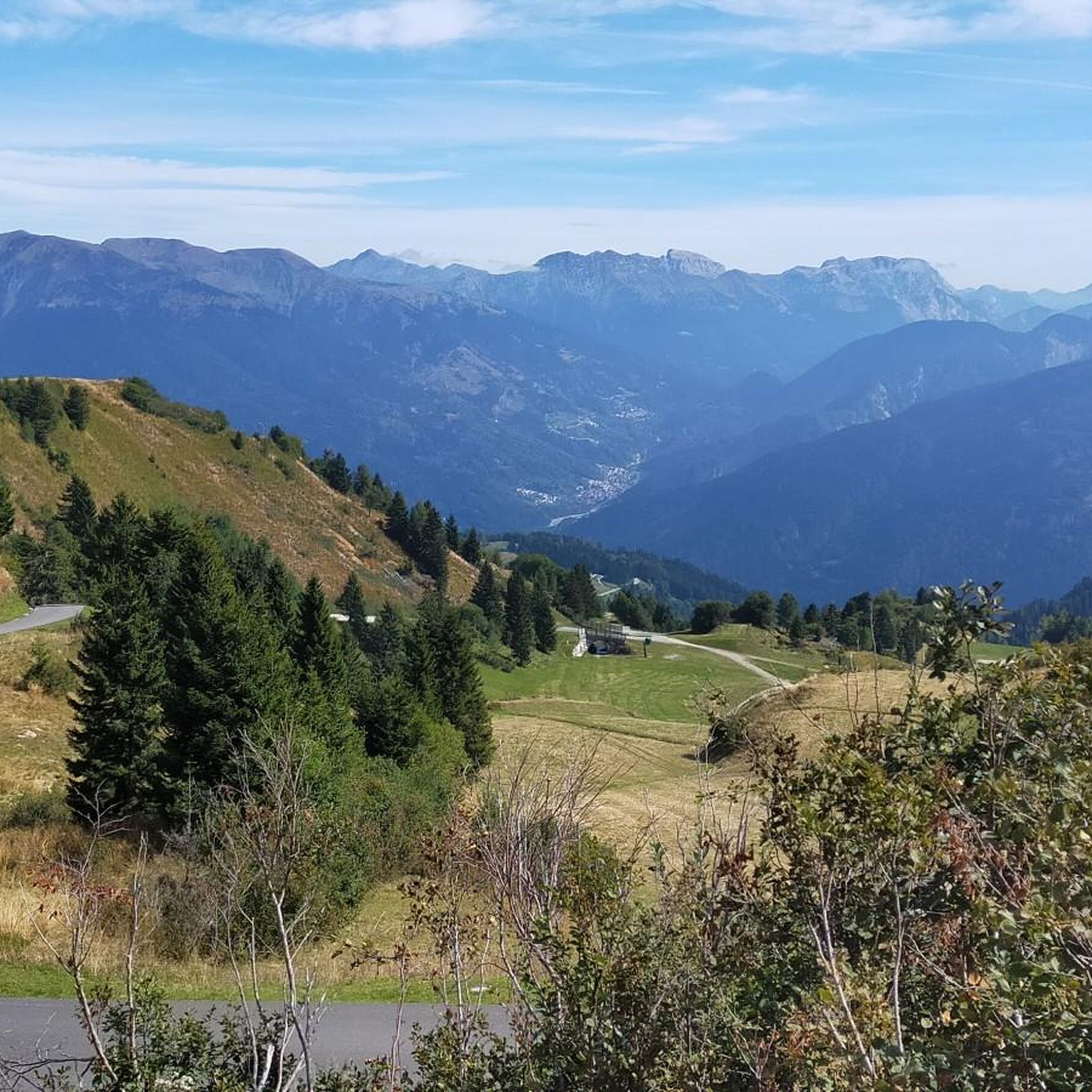
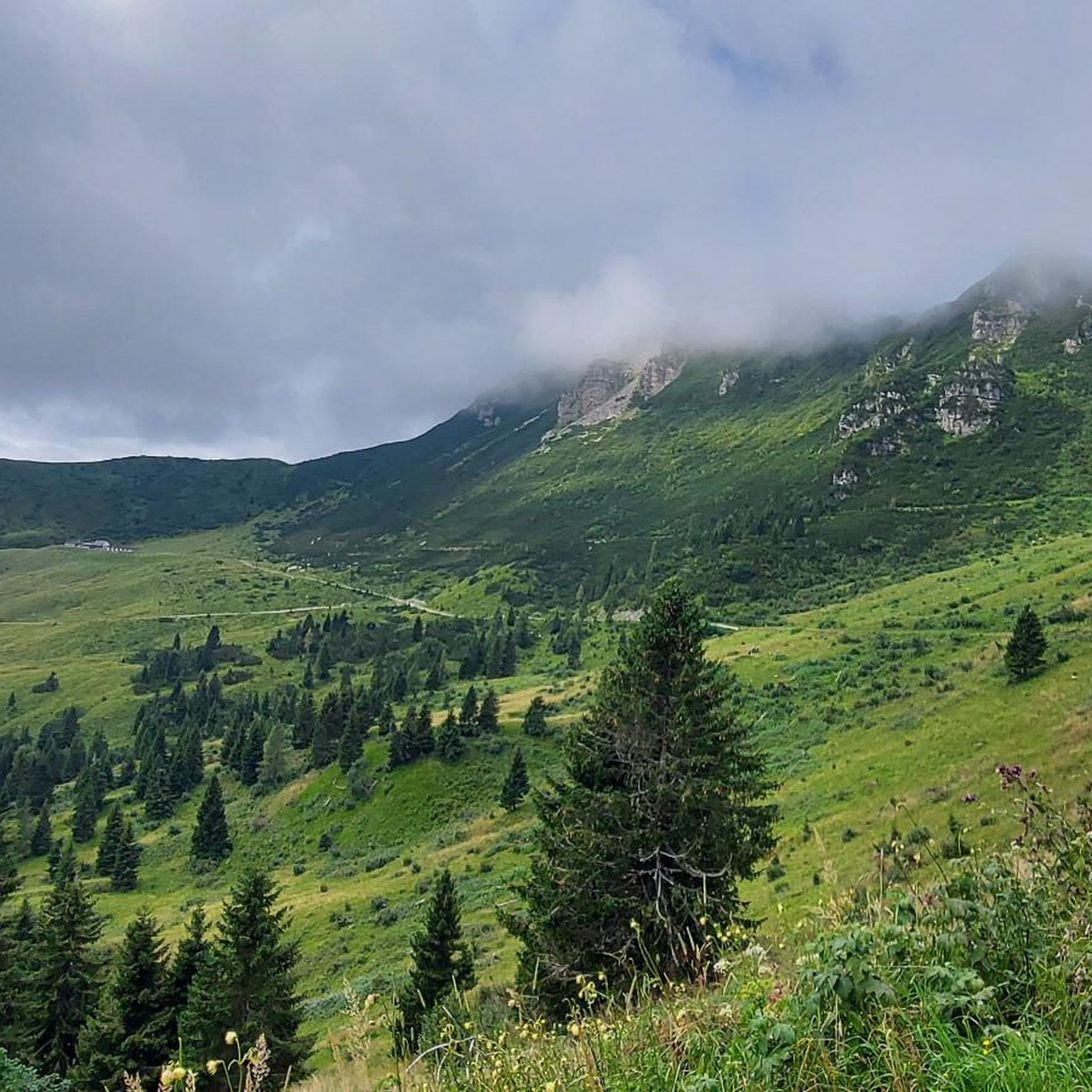
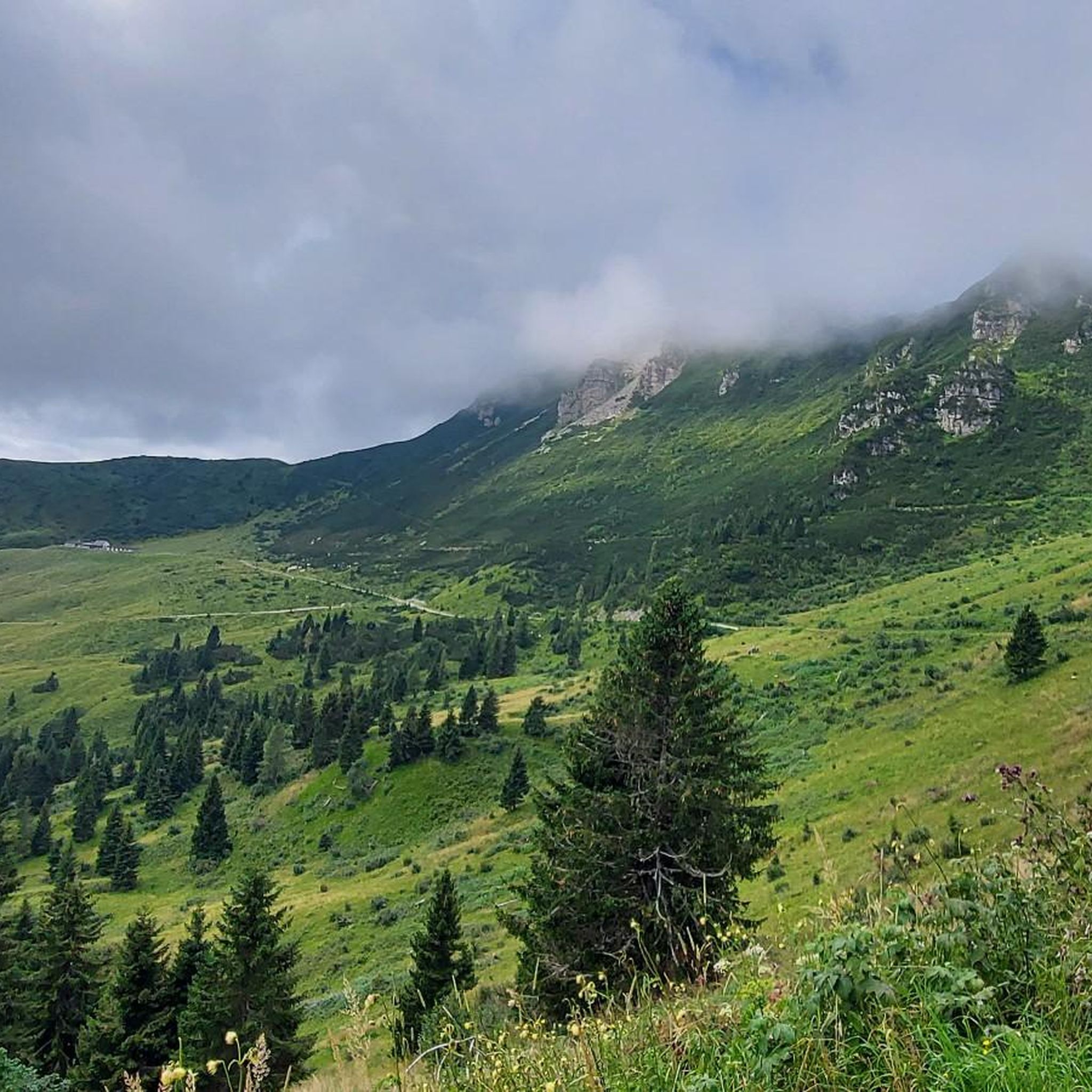
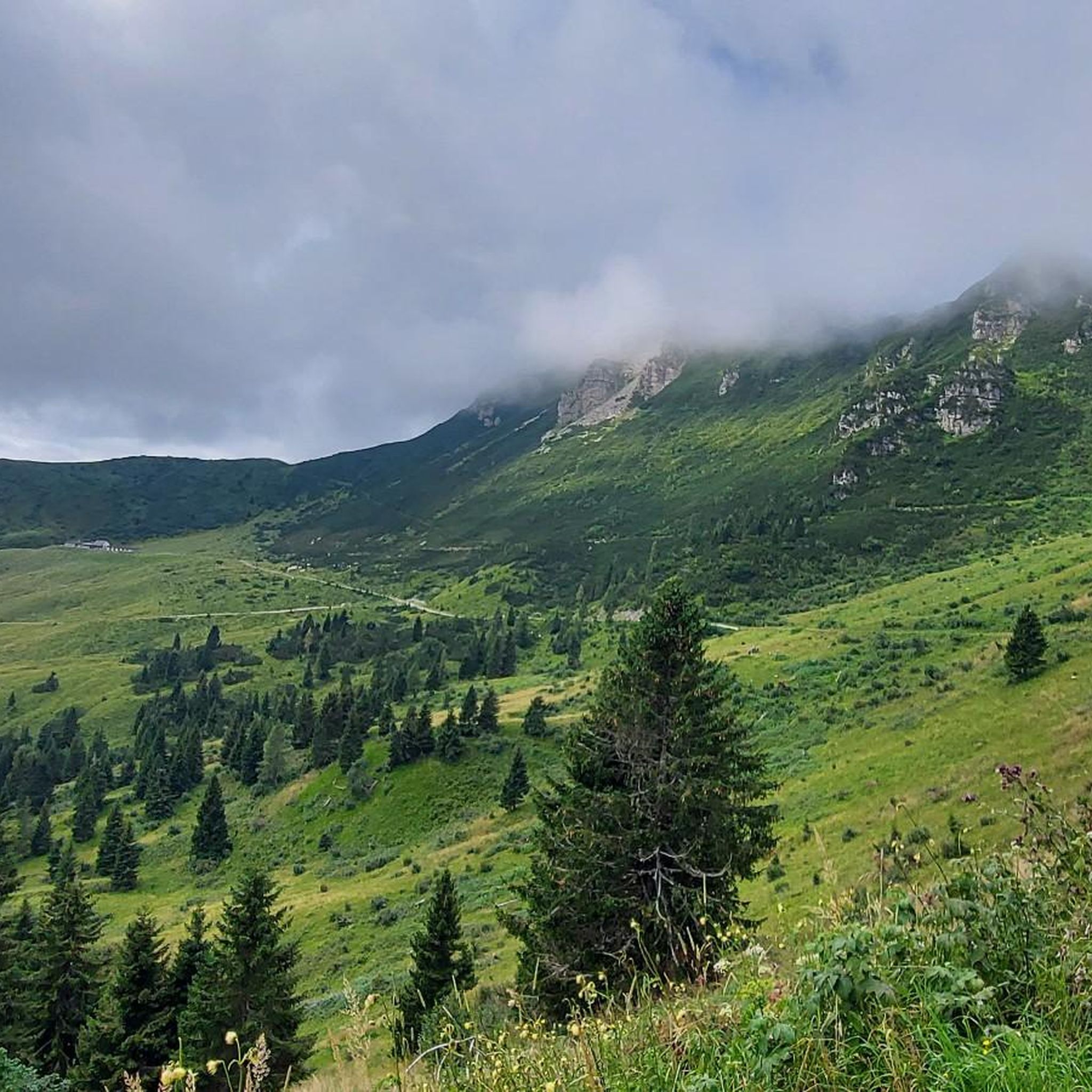
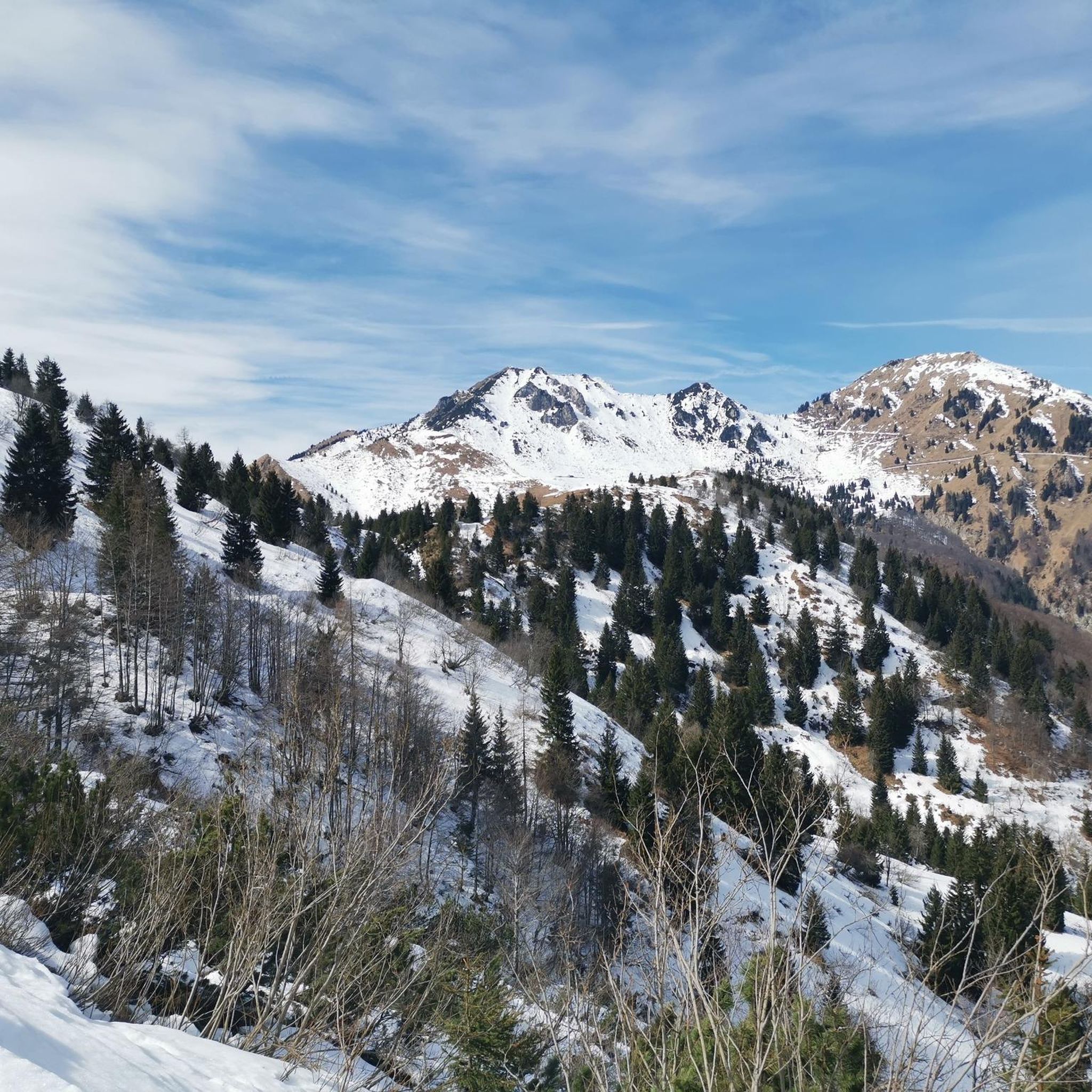
Gravel biking around Sutrio features routes through the mountainous terrain of the Carnic Alps, characterized by significant elevation changes and panoramic views. The region offers challenging climbs and descents on unpaved roads and trails. Riders can expect to encounter a mix of forest paths, open mountain sections, and winding pass roads within an alpine environment.
Best gravel bike trails around Sutrio
- The most popular gravel bike trail is Panoramica Delle Vette – Panoramica delle Vette loop from Ravascletto / Ravasclêt…
Last updated: October 8, 2026
4.7
(15)
152
riders
47.1km
03:53
1,690m
1,690m
Hard gravel ride. Very good fitness required. Mostly paved surfaces. Suitable for all skill levels.
4.7
(15)
156
riders
49.0km
04:05
1,770m
1,770m
Hard gravel ride. Very good fitness required. Mostly paved surfaces. Suitable for all skill levels.

5.0
(1)
25
riders
41.0km
03:42
1,670m
1,670m
Hard gravel ride. Very good fitness required. Mostly paved surfaces. Suitable for all skill levels.
5.0
(3)
22
riders
43.5km
03:32
1,240m
1,240m
Hard gravel ride. Very good fitness required. Mostly paved surfaces. Suitable for all skill levels.
14
riders
41.6km
03:43
1,680m
1,690m
Hard gravel ride. Very good fitness required. Mostly paved surfaces. Suitable for all skill levels.
Get access to more routes and recommendations from other explorers.
Already have an account?
Our route recommendations are based on thousands of hikes, rides, and runs completed by other people on komoot.
Start today with a free account
Your next adventure awaits.

Tips from the Community

Three unlit, relatively narrow tunnels
2
0
Going down is always a pleasure, even if it really puts the brakes to the test. Have fun on the ascent.
2
0
Descent brilliant, ascent brutal.
2
0
Hammer route with luggage managed, but took the cable car, descent was grandiose, similarly crazy as the Col de la Loze.
2
0
Managed with luggage, even if it was just the cable car. Dream pass and great descent.
2
0
Start of the Vette panoramic route, unfortunately also cars and motorcycles.
2
0
Quite substantial climbs, not everyone rides with a battery, but in places very beautiful views. With cable car and Zoncolan.
3
0

This west side is the harder one (unless you ride down the more southerly east ascent from Priola). The signs of past Giro legends give an indication of how far you are... but at the sign for Pantani, you've almost made it!
0
0
Frequently Asked Questions
Are there any easy or beginner-friendly gravel bike trails around Sutrio?
The gravel biking routes around Sutrio are primarily designed for experienced riders. The region's mountainous terrain, characterized by significant elevation changes and challenging climbs, means that all 17 available routes are rated as difficult. There are no easy or moderate trails listed in the area.
What are the typical distances and durations for gravel bike trails in Sutrio?
The gravel bike trails in Sutrio vary in length, generally ranging from around 24 miles (38.5 km) to over 40 miles (65 km). For example, the Panoramica Delle Vette – Panoramica delle Vette loop from Ravascletto / Ravasclêt is 23.9 miles (38.5 km) and takes about 3 hours 27 minutes. Longer routes, like the Monte Zoncolan Pass Road – Zoncolan loop from Comeglians / Comelians, can be up to 40.6 miles (65.4 km) and take nearly 6 hours to complete.
Where can I find parking when gravel biking in Sutrio?
Many gravel bike routes in Sutrio start from villages and towns such as Ravascletto, Arta Terme, Comeglians, or Sutrio itself. You can typically find public parking facilities in these starting locations, often near the town centers or trailheads. It's advisable to check local parking regulations upon arrival.
What is the best time of year for gravel biking in Sutrio?
Given Sutrio's location in the Carnic Alps, the best time for gravel biking is generally from late spring through early autumn (May to October). During these months, the weather is more stable, and mountain passes are typically free of snow. Always check local weather forecasts before heading out, as alpine conditions can change rapidly.
Can I find cafes or refreshment stops along the gravel bike trails in Sutrio?
While specific cafes are not listed for every trail, many routes either start or pass through villages and towns where you can find amenities like cafes, restaurants, or small shops. For example, routes originating from Arta Terme or Comeglians will offer opportunities for refreshments before or after your ride. It's always a good idea to carry sufficient water and snacks, especially on longer, more remote sections.
Are there any circular gravel bike routes in Sutrio?
Yes, many of the gravel bike trails in Sutrio are designed as loops, allowing you to start and finish in the same location. Examples include the Casera Chiadins Alta – Panoramica delle Vette loop from Arta Terme and the Panoramica delle Vette – Monte Zoncolan Pass Road loop from Sutrio / Sudri. These circular routes offer varied alpine scenery without the need for shuttle services.
What kind of views and landmarks can I expect along the gravel bike trails?
Gravel biking in Sutrio offers extensive panoramic views of the Carnic Alps. You'll encounter mountain pass terrain, forest paths, and open mountain sections. Notable landmarks and natural features in the wider area include Monte Zoncolan, known for its challenging climbs, and the serene Lago Avostanis. You might also pass by mountain huts like Malga Pramosio.
What do other gravel bikers enjoy the most about gravel biking in Sutrio?
The gravel biking experience in Sutrio is highly rated by the komoot community, with an average score of 4.9 stars from over 30 reviews. Riders frequently praise the challenging mountain passes, the panoramic high-altitude routes, and the rugged alpine environment that defines the region. The varied terrain and extensive views are often highlighted as key attractions.
Are there any less crowded gravel bike routes in Sutrio?
While the region is popular, some routes might offer a more secluded experience. For a route that navigates through varied alpine scenery and might be less frequented than the most popular ones, consider the Būt Stream – Zuglio loop from Lovea. This route offers a challenging ride through mountain pass terrain and forested sections.
How many gravel bike trails are available in the Sutrio area?
There are 17 gravel bike trails available around Sutrio, all of which are rated as difficult due to the mountainous terrain and significant elevation changes in the Carnic Alps.
What should I wear for gravel biking in Sutrio?
Given the alpine environment and potential for rapid weather changes, it's recommended to wear layers. This includes moisture-wicking base layers, a mid-layer for warmth, and a windproof/waterproof outer shell. A helmet, gloves, and appropriate cycling shoes are essential. Always carry extra clothing, even on sunny days, especially when tackling higher elevations.
Most popular attractions around Sutrio

Get inspired with the komoot mobile app


Explore more
Browse the best Gravel rides in other regions.
