The best gravel rides around Farindola
5.0
(13)
159
riders
5
rides
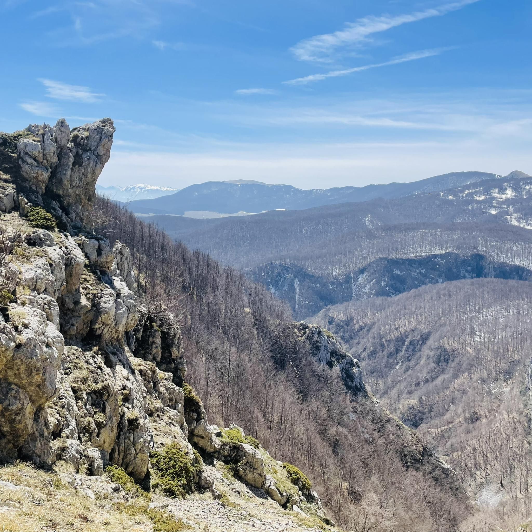
Gravel biking around Farindola offers routes within Italy's Abruzzo region, situated in the Gran Sasso and Monti della Laga National Park. The terrain features a mix of woods, high-altitude pastures, rivers, and rocky landscapes, with elevations ranging from the village at 530 meters to peaks over 2000 meters. The area includes the Voltigno and Valle d'Angri Regional Reserve, characterized by dense vegetation and steep slopes, and the expansive Campo Imperatore plateau. Routes often incorporate both paved and unpaved sections, utilizing…
Last updated: July 5, 2026
4.9
(9)
53
riders
59.9km
04:40
1,450m
1,440m
Hard gravel ride. Very good fitness required. Mostly paved surfaces. Suitable for all skill levels.
5.0
(1)
53
riders
125km
09:15
2,680m
2,680m
Hard gravel ride. Very good fitness required. Mostly paved surfaces. Suitable for all skill levels.

Sign up for free
5.0
(3)
47
riders
61.8km
04:40
1,300m
1,290m
Hard gravel ride. Very good fitness required. Mostly paved surfaces. Suitable for all skill levels.
4
riders
19.8km
01:53
530m
520m
Hard gravel ride. Very good fitness required. Mostly paved surfaces. Suitable for all skill levels.
2
riders
22.8km
01:47
620m
620m
Hard gravel ride. Very good fitness required. Mostly paved surfaces. Suitable for all skill levels.
Our route recommendations are based on thousands of hikes, rides, and runs completed by other people on komoot.
Start today with a free account
Your next adventure awaits.
Login or Signup
Tips from the Community

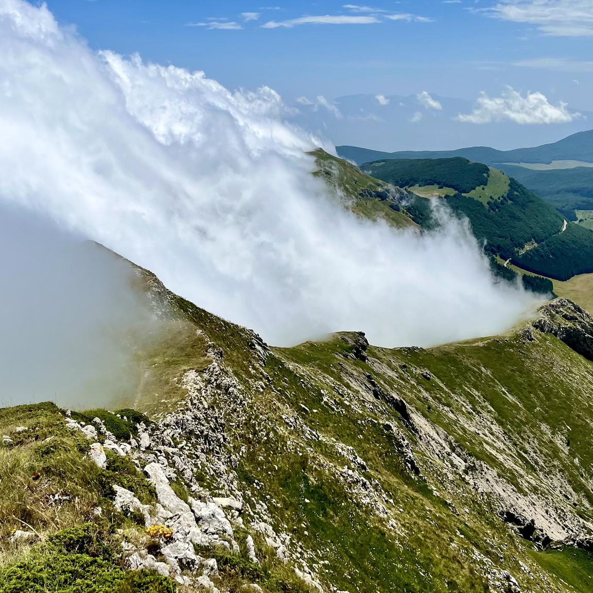
The Campo Imperatore plateau is so special because it is one of Europe's most alien and untouched landscapes. The plateau is over 15 kilometers long and lies at an average altitude of 1,800 to 2,000 meters. This creates a unique combination of extreme vastness, raw nature, and cultural history. The main reasons why this area is unique: Europe's 'Little Tibet': Due to the vast treeless plains, the grazing herds of horses and sheep, and the immense mountain ranges surrounding it, you absolutely do not feel like you are in Italy here. The horizon is nowhere interrupted by modern buildings, which gives a rare sense of ultimate emptiness and space. The setting for iconic films: The alien landscape has been used as a film set by countless Hollywood directors. Major classics and westerns such as Once Upon a Time in the West and The Name of the Rose were filmed here.
4
0
The endpoint by car is the large mountain square Piazzale di Campo Imperatore (2,130 meters). The breathtaking mountain road SS17bis leads you from the valley right up to the doors of the Hotel Campo Imperatore and the Astronomical Observatory. Why shouldn't you miss Campo Imperatore? Because here you are right in the middle of the high mountains without a strenuous climb. At an altitude of 2,130 meters, you are surrounded by impressive mountain peaks and begin one of the most beautiful hiking areas in the Apennines. The car journey there is an experience in itself: a winding road through the spectacular landscape of 'Little Tibet', where you often encounter horses, cows, and large flocks of sheep along the way. At the top, you will also find a unique mix of nature, history, and culture, with the historic hotel where Mussolini was imprisoned, the highest church in Italy, the astronomical observatory, and cozy food trucks where you can enjoy local specialties such as fresh pecorino and generously filled sandwiches.
4
0
The Funivia del Gran Sasso d'Italia (the cable car to Campo Imperatore) was originally opened in 1934 and was recently reopened on June 15, 2026, after a period of significant maintenance. The cable car connects the valley station in Fonte Cerreto (Assergi, at 1,117 meters) with the Campo Imperatore plateau (at 2,130 meters). The cable car to Campo Imperatore has a rich history. The first installation was built in 1934 during the reign of Benito Mussolini and was considered a technical masterpiece and one of the longest cable cars in the world at the time. It also played a role in the spectacular liberation of Mussolini during World War II. The original cabins remained in use until 1985. After a complete modernization, the current cable car was put into operation in 1988. With two cabins for 100 passengers each, it covers a distance of over 3 kilometers and an altitude difference of 1,013 meters in just seven minutes. Following extensive safety works, including the replacement of the support cables, the cable car has been fully operational again since June 2026. Opening hours: During the summer season (until the end of August 2026), the cable car to Campo Imperatore is open daily from 07:30 to 19:30. The cabins depart every 30 minutes. Please note that in case of strong winds or other extreme weather conditions, the cable car may be temporarily taken out of service to ensure the safety of travelers.
3
0
Campo Imperatore is one of Italy's most impressive natural areas. This vast, treeless high plain at an altitude of approximately 2,000 meters is not called 'Little Tibet' for nothing. Surrounded by the rugged peaks of the Gran Sasso massif, it offers a spectacular setting for hikers of all levels. From relaxed walks across the rolling plateau between grazing sheep and horses to challenging climbs of Monte Aquila, the Rifugio Duca degli Abruzzi, or even Corno Grande (2,912 m), the highest peak in the Apennines. Thanks to accessibility by car or cable car, you can start your hike right in the middle of the high mountains, with breathtaking panoramas along the way and a landscape that has served as a backdrop for countless films.
4
0

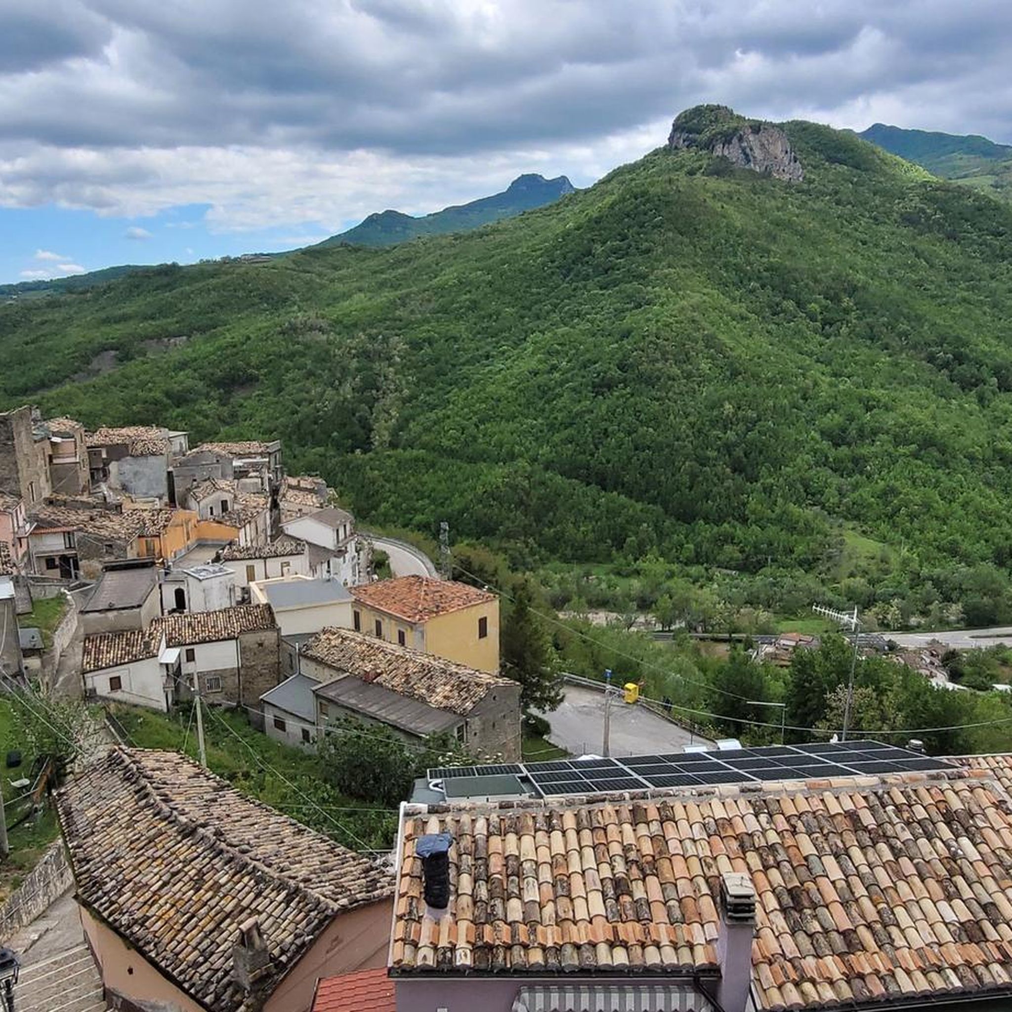
It’s an enchanted village, walking in those narrow alleys makes you dream, just like the delicacies that Barbara and Andrea expertly prepare in their small restaurant make you dream.
0
0

The village is a little gem, it's a shame the welcome isn't great for cyclists, but it's a rather touristy area.
0
0
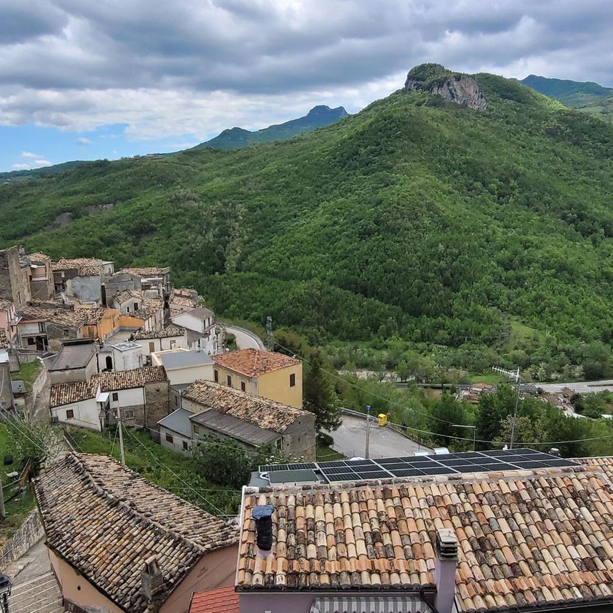
The village is a little gem, it's a shame about the lack of hospitality for cyclists.
0
0

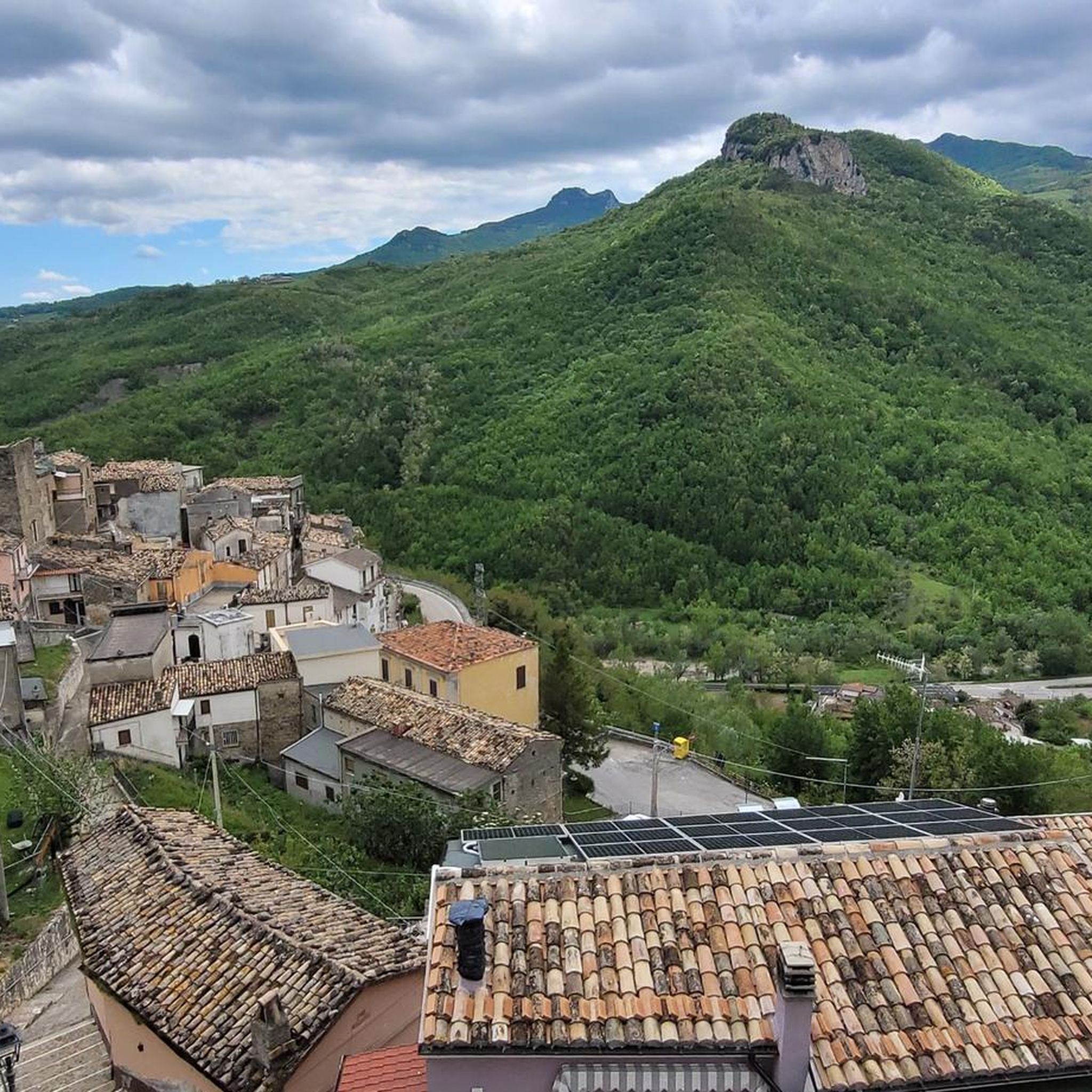
A superbly beautiful village with narrow streets and delicious restaurants. However, it's also the most touristy village for miles around. Tour groups are also "delivered" here by bus.
0
0
Frequently Asked Questions
What kind of terrain can I expect on gravel bike trails around Farindola?
The Farindola area, nestled within the Gran Sasso and Monti della Laga National Park, offers a diverse gravel biking experience. You'll encounter a mix of woods, high-altitude pastures, rivers, and rocky landscapes. Routes often combine both paved and unpaved sections, utilizing secondary roads with minimal traffic. While the region offers terrain for various abilities, many of the listed routes are quite challenging, featuring significant elevation gains through mountainous areas.
Are there any long-distance gravel biking routes in the Farindola region?
Yes, Farindola is home to several substantial gravel biking routes. For instance, the Campo Imperatore Plateau – Campo Imperatore loop from Castel del Monte is a challenging 124.9 km (77.6 miles) route that takes approximately 9 hours and 15 minutes to complete, ascending over 2680 meters through the dramatic high-altitude plateau.
What natural attractions can I see while gravel biking near Farindola?
The Farindola region is rich in natural beauty. You can explore the expansive Campo Imperatore Plateau, often called 'Little Tibet,' known for its picturesque views. Other notable features include the Scoppaturo Canyon and various mountain peaks like Monte Camicia summit and Bolza Peak. The Voltigno and Valle d'Angri Regional Reserve also offers dense vegetation and rocky ledges.
Are there any circular gravel bike routes available in Farindola?
Yes, many of the gravel biking routes in the Farindola area are designed as loops, allowing you to start and finish at the same point. An example is the Gran Sasso Plateau – Castel del Monte (Abruzzo) loop from Castel del Monte, a 59.6 km (37.0 miles) trail through the Gran Sasso National Park.
What is the general difficulty level of gravel bike trails around Farindola?
The gravel bike trails listed for the Farindola area are generally categorized as difficult. They often involve significant elevation gains and cover varied mountain terrain, making them suitable for experienced gravel bikers looking for a challenge. For example, the Santo Stefano di Sessanio – Santo Stefano di Sessanio loop from Castel del Monte features over 1300 meters of elevation gain.
Are there any shorter gravel bike routes for a quicker ride near Farindola?
While many routes are challenging and long, you can find shorter options. The Foot of Monte Bolza – Scoppaturo Canyon loop from Castel del Monte is a difficult route spanning 19.8 km (12.3 miles) with over 500 meters of ascent, typically completed in under 2 hours.
What do other gravel bikers say about the trails in Farindola?
The gravel biking routes in Farindola are highly regarded by the komoot community, holding an average rating of 4.9 stars from numerous reviews. Riders often praise the wild and beautiful landscapes, the challenging mountain passes, and the immersive experience of cycling through alpine plateaus and dense forests.
Can I find routes that pass through historic villages or cultural sites?
Yes, some routes offer a blend of natural beauty and cultural exploration. For instance, the Medieval Village of Appignano loop from Castiglione Messer Raimondo is a 22.8 km (14.2 miles) route that allows you to experience both the natural terrain and the charm of a historic village.
What are the highest points or passes accessible by gravel bike in the Farindola area?
The region features several high points and passes that offer breathtaking panoramic views. The Capo la Serra Pass is a notable mountain pass, and routes often traverse high-altitude plateaus like Campo Imperatore, providing challenging climbs and rewarding vistas.
Are there any specific natural reserves or parks that the gravel trails go through?
Many gravel trails in the Farindola area are situated within the expansive Gran Sasso and Monti della Laga National Park. Additionally, the Voltigno and Valle d'Angri Regional Reserve, known for its dense vegetation and the Tavo River, is adjacent to Farindola and offers further exploration opportunities.
What kind of views can I expect on the gravel bike routes?
The routes offer dramatic and varied views, from the vast, open landscapes of the Campo Imperatore plateau to dense forests and rocky terrains. You'll experience panoramic vistas of formidable peaks like Mount Camicia and Monte Prena, as well as serene valleys and river systems within the national park.
Most popular attractions around Farindola

Get inspired with the komoot mobile app


Explore more
Browse the best Gravel rides in other regions.
