The best gravel rides around Conselice
4.5
(13)
138
riders
14
rides
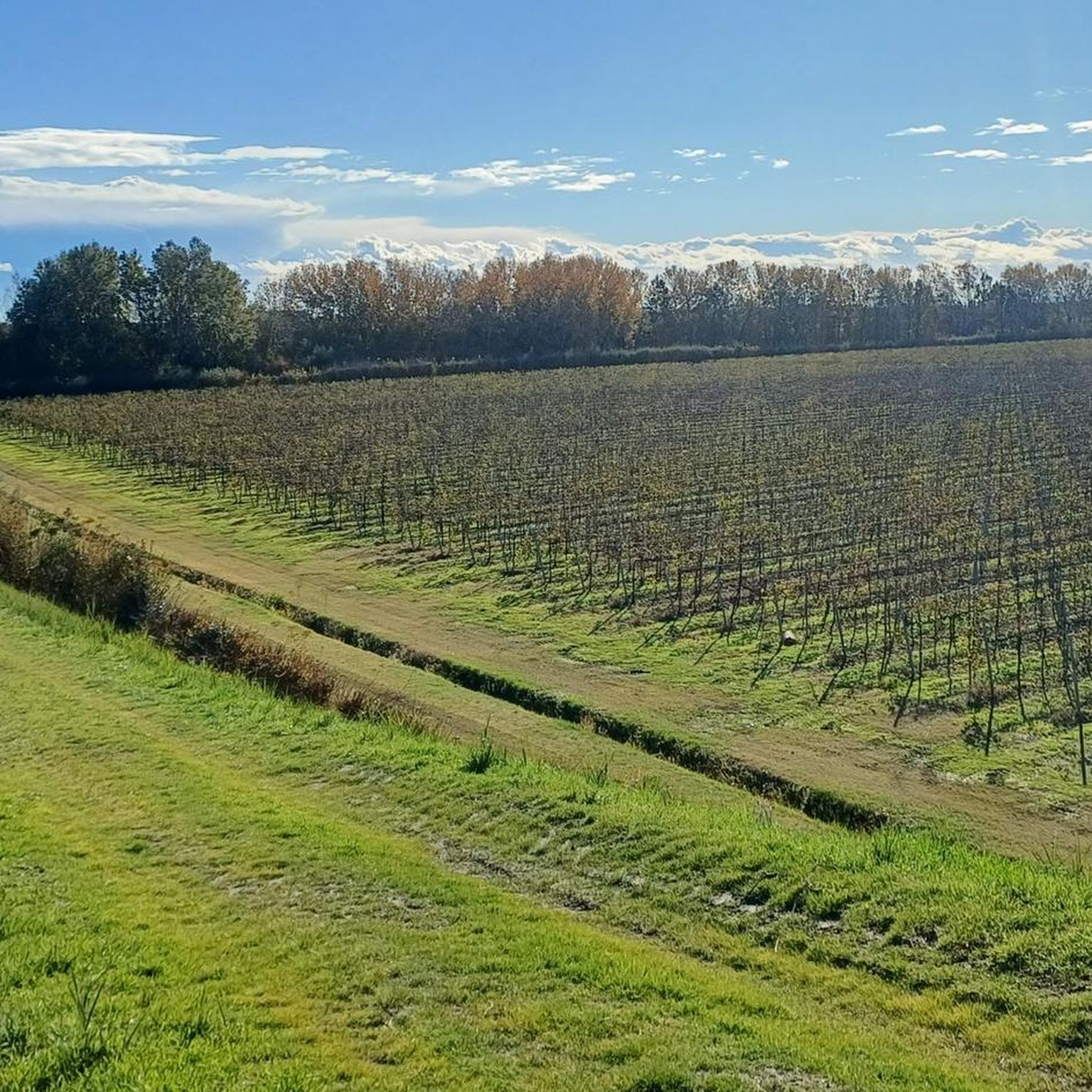
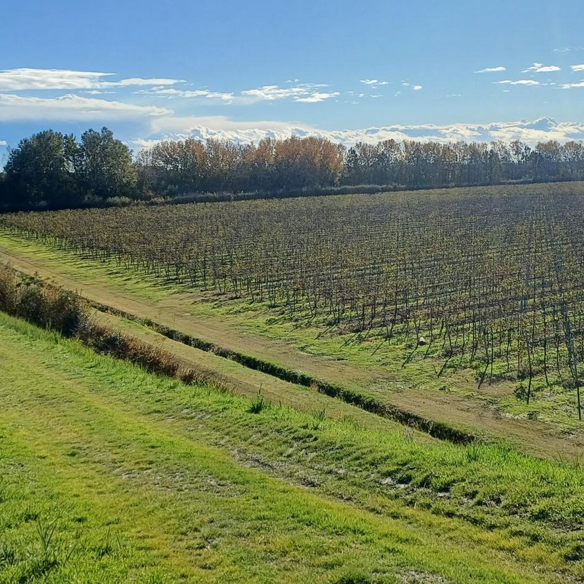
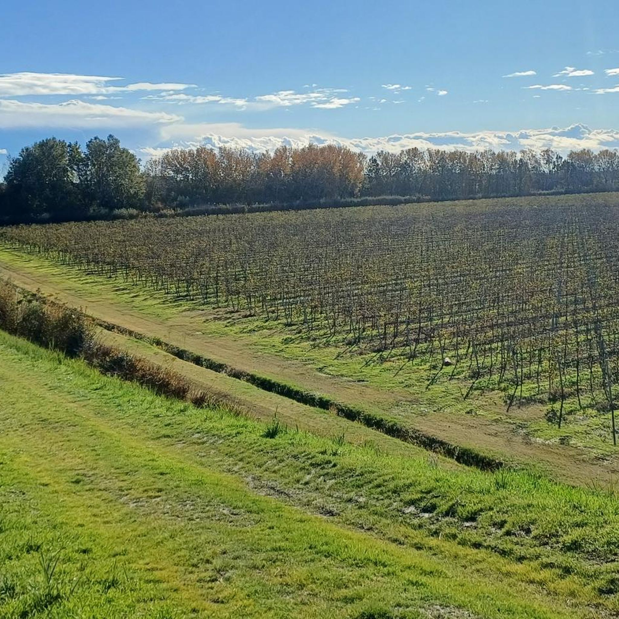
Gravel biking around Conselice features routes primarily across flat, agricultural landscapes, often following canals and river systems. The terrain is characterized by open fields, minor waterways, and occasional small clusters of trees, offering long-distance riding opportunities. While generally low in elevation gain, some routes include longer distances that contribute to their difficulty. The region provides a network of paths suitable for gravel bikes, connecting small towns and rural areas.
Best gravel bike trails around Conselice
- The most popular gravel bike trail is Canale dei Molini – The Gallisterna loop from Sant'Agata sul Santerno, a 78.8 miles (126.9 km) trail that takes 7 hours 53 minutes to complete. This route leads through riverine landscapes with notable elevation gain for the region.
- Another top favourite among local gravel bikers is Valle di Pesca – Flamingos in the Po Delta loop from Argenta, a difficult 43.7 miles (70.3 km) path. This route offers views of the Po Delta and its unique wetland environment.
- Local gravel bikers also love the Sant'Agata Imola Cycle Path – Beautiful loop from Sant'Agata sul Santerno, a 25.6 miles (41.1 km) trail leading through agricultural fields, often completed in about 2 hours 24 minutes.
- Gravel biking around Conselice is defined by canal-side paths, open agricultural fields, and river valley routes. The network offers options for easy, moderate, and difficult gravel cycling trails, catering to various experience levels.
- The routes in Conselice are highly rated by the komoot community with an average score of 4.4 stars from over 8 reviews. More than 100 gravel bikers have used komoot to explore Conselice's varied terrain.
Last updated: July 5, 2026
22
riders
130km
08:06
1,570m
1,570m
Hard gravel ride. Very good fitness required. You may need to push your bike for some segments of this route.
5.0
(1)
11
riders
70.3km
03:54
50m
50m
Hard gravel ride. Good fitness required. You may need to push your bike for some segments of this route.

Sign up for free
4.0
(2)
12
riders
Moderate gravel ride. Good fitness required. Mostly paved surfaces. Suitable for all skill levels.
10
riders
57.4km
03:28
60m
60m
Moderate gravel ride. Good fitness required. Mostly paved surfaces. Suitable for all skill levels.
10
riders
122km
07:52
1,720m
1,720m
Hard gravel ride. Very good fitness required. Mostly paved surfaces. Suitable for all skill levels.
Get access to more routes and recommendations from other explorers.
Sign up for free
Already have an account?
Our route recommendations are based on thousands of hikes, rides, and runs completed by other people on komoot.
Start today with a free account
Your next adventure awaits.
Login or Signup
Tips from the Community

07/05/2026 IMPASSABLE DUE TO THICK VEGETATION
0
0
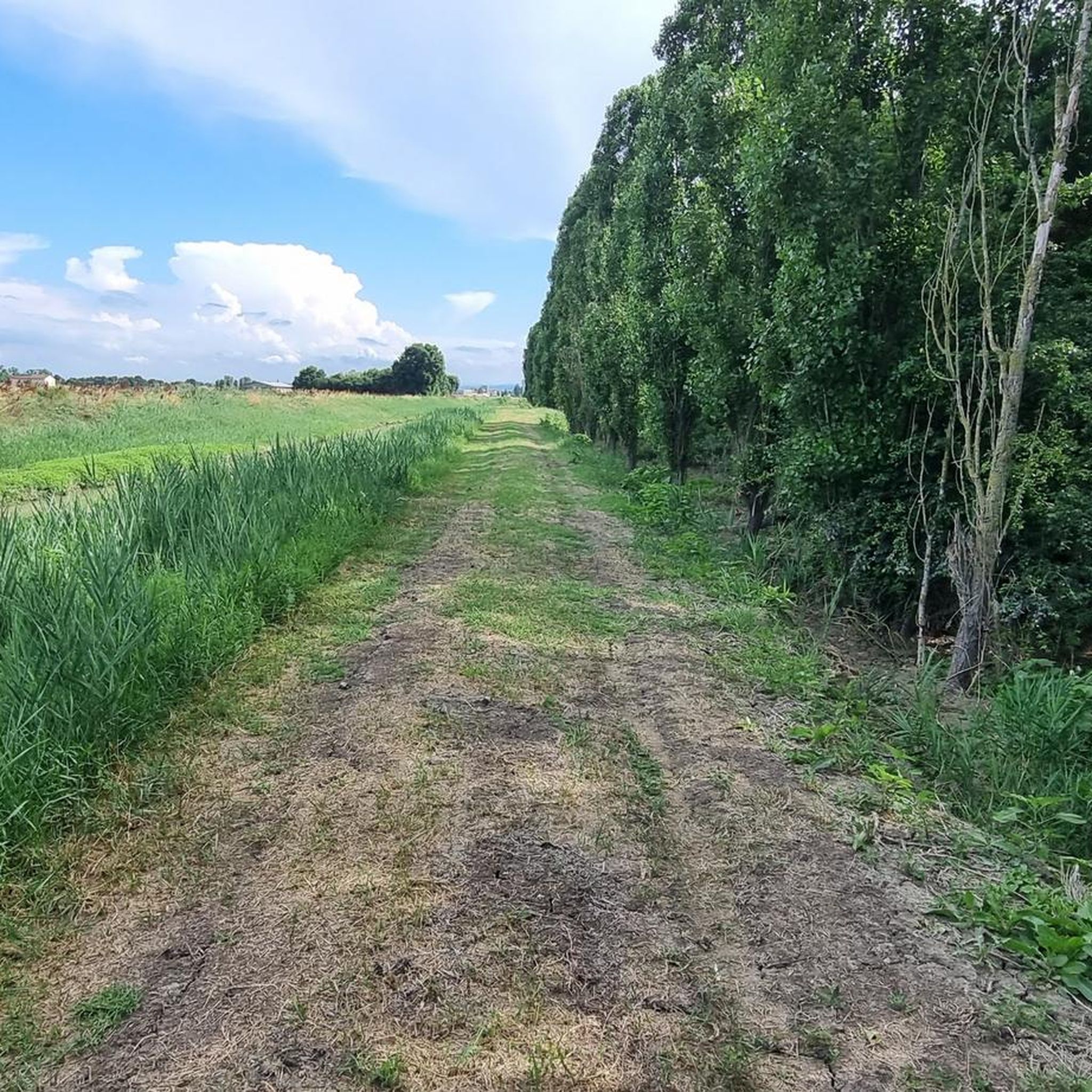
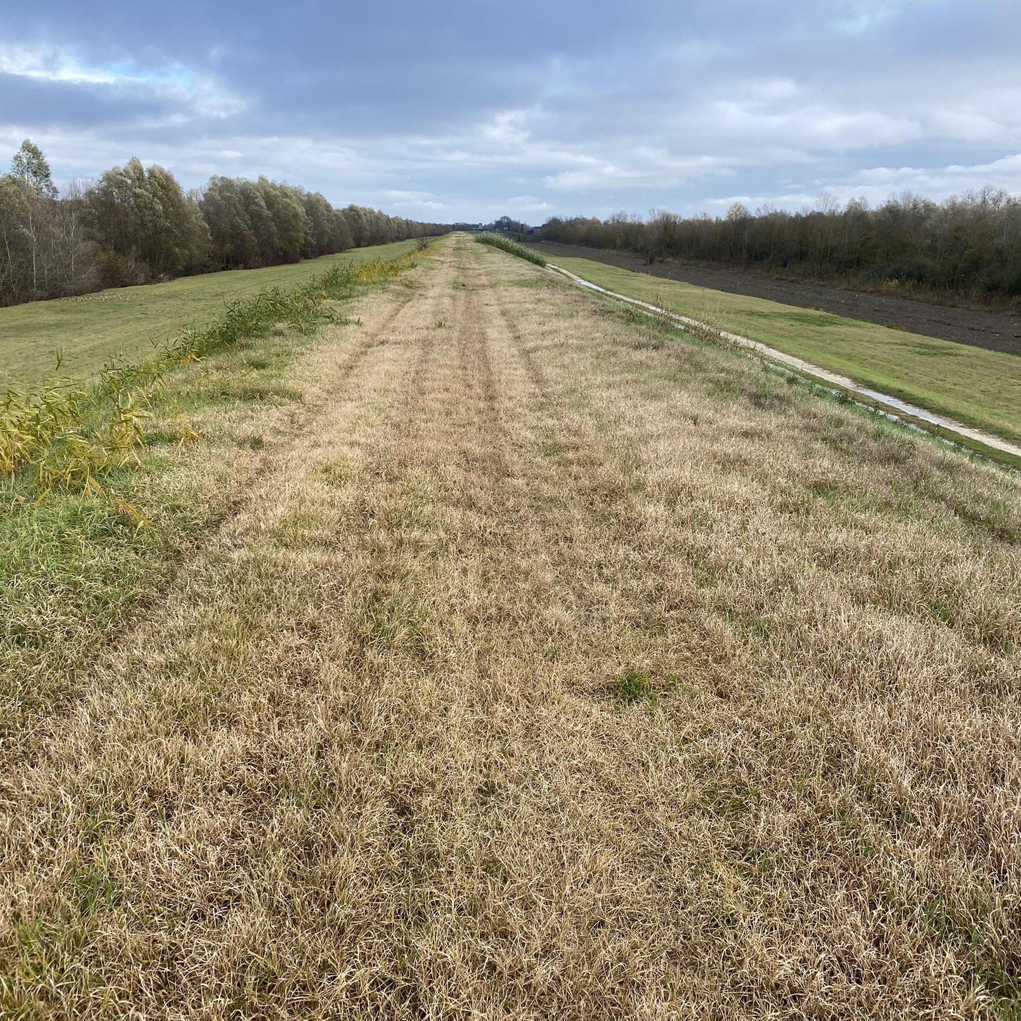
******ATTENTION!!!!!!!****** I TRIED TO PASS ON THIS SECTION OF THE EMBANKMENT (LEFT SANTERNO) ON 07/05/2026 AND IT IS ABSOLUTELY IMPRACTICAL: THE VEGETATION HAS COMPLETELY TAKEN OVER THE TOP OF THE EMBANKMENT, SO MUCH SO AS TO COMPLETELY ENGULF THE TRAIL CLASSIFIED AS S0. EVEN WITH A ROBUST MTB IT WILL BE EXTREMELY DIFFICULT TO PASS, THE BUSHES ARE SO DENSE THEY WILL CAUSE SCRATCHES TO EXPOSED SKIN, THE SHRUBS WILL GET CAUGHT IN THE GEAR CASING, PUTTING THE DERAILLEUR, RIM, AND HANGER AT RISK. THE DENSE VEGETATION WILL OFFER EXTREME RESISTANCE TO PROGRESSION. UNFORTUNATELY, I WAS UNABLE TO DOCUMENT THE SITUATION PHOTOGRAPHICALLY. IF ANYONE NOTICES SIGNIFICANT CHANGES AFTER THE DATE OF THIS NOTE, PLEASE MAKE IT KNOWN WITH AN UPDATE (PERHAPS PHOTOGRAPHIC).
0
0

The 14th century fortress located within the ancient village and protected by a circle of sturdy walls is made up of 3 imposing towers and the square keep
0
0
Guided bike tours on November 9, 16, 23, and 30 to the northern tip of Bosco Forte, usually inaccessible, among splendid white Camargue horses, pink flamingos, and wild nature consisting of reed beds, glassworts, salt marshes, and sandy hummocks formed hundreds of years ago; a true corner of paradise; for more information, call 0544 528710 or contact nature@atlantide.net
0
0


It looks more like an ash tree than an oak to me...
0
0

A charming loop among canals, flamingos, and mosquitoes… very exposed to the sun.
0
0

For those who are capable of doing impossible climbs
0
0
Frequently Asked Questions
How many gravel bike trails are available around Conselice?
There are 19 gravel bike trails around Conselice. These routes offer a variety of experiences across the region's flat, agricultural landscapes and canal systems.
Are there easy gravel bike routes for beginners in Conselice?
Yes, Conselice offers 3 easy gravel bike routes suitable for beginners. These trails typically follow flat canal paths and agricultural roads, providing a gentle introduction to gravel biking.
Are there challenging gravel cycling trails for experienced riders?
For experienced riders seeking a challenge, Conselice features 7 difficult gravel cycling trails. Routes like Via delle Tombarelle – The Gallisterna loop from Sant'Agata sul Santerno and Canale dei Molini – The Gallisterna loop from Sant'Agata sul Santerno offer longer distances and some sections with notable elevation gain for the region.
What kind of scenery can I expect on gravel bike trails around Conselice?
The gravel bike trails around Conselice primarily traverse flat, agricultural landscapes. You'll experience open fields, minor waterways, and river systems, often following canal paths. The scenery is characterized by expansive views of the Po Valley, with occasional small clusters of trees.
Are there any interesting landmarks or attractions along the gravel bike routes?
While the routes focus on natural and agricultural landscapes, you can find historical landmarks nearby. For instance, the Rocca Sforzesca di Bagnara and the Rocca Estense di Lugo are historic castles in the vicinity. You might also encounter religious buildings like the Tempio della Celletta.
Can I find circular gravel routes in Conselice?
Yes, many of the gravel routes in Conselice are designed as loops, allowing you to start and finish at the same point. Examples include the popular Chiavicone della Canalina – Avio Club LYRA34 loop from Sant'Agata sul Santerno and the longer Valle di Pesca – Flamingos in the Po Delta loop from Argenta.
What do other gravel bikers say about the trails in Conselice?
The gravel biking trails in Conselice are highly rated by the komoot community, with an average score of 4.5 stars from over 19 reviews. Riders often praise the quiet canal paths, the extensive network of routes, and the unique experience of cycling through the flat, open agricultural areas.
What is the best time of year for gravel biking in Conselice?
Spring and autumn are generally the best times for gravel biking in Conselice. The weather is milder, and the landscapes are vibrant. Summers can be hot, especially in the open fields, while winters can be damp and foggy, though still rideable for those prepared.
Are there family-friendly gravel bike trails in Conselice?
Given the predominantly flat terrain and network of canal paths, many of the easier and moderate routes in Conselice can be suitable for families. These paths often avoid heavy traffic, providing a safer and more relaxed riding environment. Always check the specific route details for distance and surface conditions.
Where can I find parking for gravel biking trails near Conselice?
Parking is generally available in the towns and villages that serve as starting points for many routes, such as Sant'Agata sul Santerno or Argenta. Look for public parking areas within these communities, often near town centers or local amenities.
Is public transport accessible for reaching gravel trails in Conselice?
Public transport options, primarily local bus services, connect Conselice with surrounding towns. However, direct access to specific trailheads via public transport might be limited. It's advisable to check local bus schedules and routes in advance if you plan to use public transport to reach your starting point.
Are there any hidden gem gravel trails near Conselice?
While the main routes are well-loved, exploring the smaller, less-trafficked agricultural roads and minor canal paths can reveal hidden gems. These often connect the larger routes and offer a more secluded experience of the region's rural charm. The Valle di Pesca – Flamingos in the Po Delta loop from Voltana offers a unique experience with potential wildlife sightings.
Most popular attractions around Conselice

Get inspired with the komoot mobile app


Explore more
Browse the best Gravel rides in other regions.
