The best gravel rides around Dronero
4.5
(41)
441
riders
29
rides
Gravel biking around Dronero offers a diverse landscape for off-road cycling. The region is characterized by its mountainous terrain, featuring significant elevation changes and a network of unpaved roads and trails. Riders can expect to navigate through valleys, ascend towards mountain passes, and traverse areas with varied vegetation, including forests. The routes often utilize existing tracks and paths, providing a mix of surfaces suitable for gravel bikes.
Best gravel bike trails around Dronero
- The most popular gravel bike trail is…
Last updated: October 11, 2026
5.0
(1)
86
riders
79.9km
05:55
2,110m
2,110m
Hard gravel ride. Very good fitness required. Mostly paved surfaces. Suitable for all skill levels.
4.5
(8)
111
riders
78.4km
05:40
2,050m
2,050m
Hard gravel ride. Very good fitness required. Mostly paved surfaces. Suitable for all skill levels.

4.2
(5)
27
riders
49.4km
03:53
1,430m
1,430m
Hard gravel ride. Very good fitness required. Mostly paved surfaces. Suitable for all skill levels.
5.0
(1)
25
riders
95.3km
06:58
2,490m
2,490m
Hard gravel ride. Very good fitness required. Mostly paved surfaces. Suitable for all skill levels.
4.8
(5)
11
riders
38.0km
02:19
470m
470m
Hard gravel ride. Very good fitness required. Mostly paved surfaces. Suitable for all skill levels.
Get access to more routes and recommendations from other explorers.
Already have an account?
Our route recommendations are based on thousands of hikes, rides, and runs completed by other people on komoot.
Start today with a free account
Your next adventure awaits.
Tips from the Community

Here some trail descents branch off from the Strada dei Cannoni.
0
0

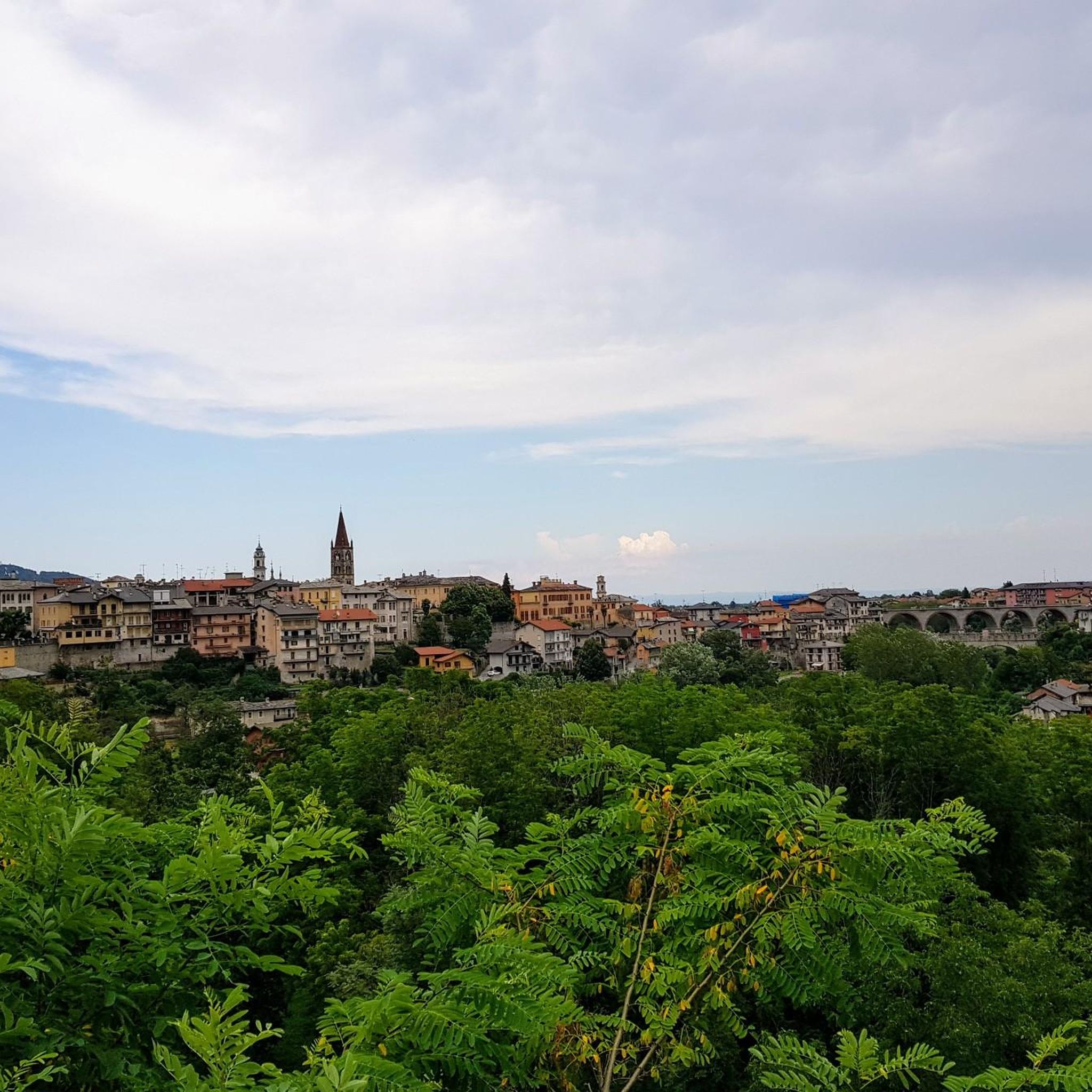
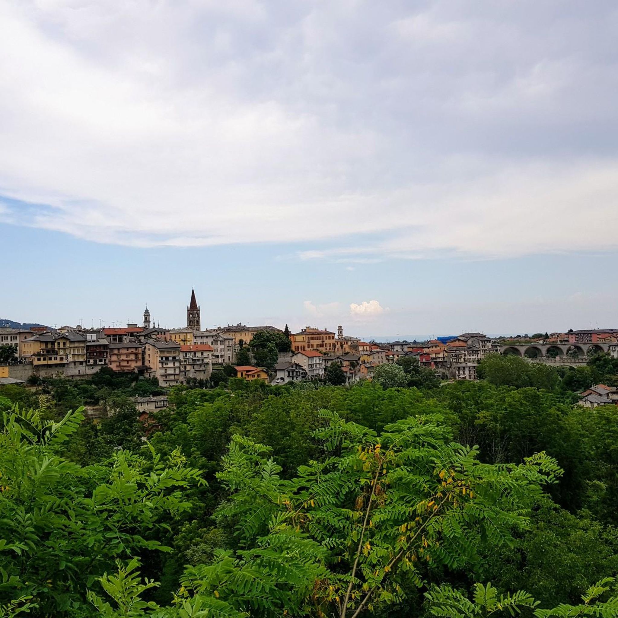
Wonderful little town, both for the fairytale panorama and for the town itself, which has a strange sense of beauty and harmony. For me it was love at first sight. The road that goes up there is wonderful, and also beautiful is the road that from Lemma climbs towards the Sanctuary of Valmala.
0
0
Wonderful little town, both for the fairytale panorama and for the town itself, which has a strange sense of beauty and harmony. For me it was love at first sight. The road that goes up there is wonderful, and the road that goes up from Lemma towards the Sanctuary of Valmala is also beautiful.
0
0


Here, edelweiss even grows right by the roadside
0
0
Source of fresh drinking water (as the name suggests, "Fontana Fredda" in Italian), next to the provincial road 333, right at the beginning just after leaving Campomolino. Interesting, and useful. For those who don't trust the potability too much, in the village of Campomolino there is a more "modern" fountain - but I suspect it relies on the same source...
0
0
Beautiful hamlet, small but interesting: many well-restored houses, a beautiful little church with a pronaos and frescoed facade, the Casa Narbona museum, the modern Town Hall building (Castelmagno is a scattered municipality), and two water points, one of which on the Provinciale, just outside the inhabited area, is an ancient fountain. Nice place for a stop on the way up to the Sanctuary.
0
0
Impressive passage in a gorge carved between the rocks, which leaves you speechless. It seems to be from a surrealist tale. Upstream and downstream, dreamlike panoramas open up.
0
0
Frequently Asked Questions
How many gravel bike trails are available around Dronero?
There are over 30 gravel bike routes documented around Dronero on komoot. These trails offer a diverse range of experiences, from challenging mountain passes to scenic forest paths.
Are there beginner-friendly gravel bike trails in Dronero?
While many routes in Dronero are categorized as difficult due to significant elevation changes, there are a few options suitable for less experienced riders. You can find one easy route and three moderate routes, which might be a good starting point for beginners looking to explore the region's gravel paths.
What is the typical length and duration of gravel bike trails in Dronero?
The gravel bike trails around Dronero vary significantly in length and duration. For instance, the Strada dei Cannoni – Birrone Pass loop from Villar San Costanzo is about 30.7 miles (49.4 km) and takes around 5 hours 36 minutes, while longer routes like the Birrone Pass – Sampeyre Pass loop from Busca stretch to 60.6 miles (97.6 km) and can take up to 9 hours.
What kind of views and landscapes can I expect on Dronero's gravel bike trails?
The gravel bike trails in Dronero offer diverse mountainous landscapes. You'll navigate through valleys, ascend towards various mountain passes, and traverse extensive forest areas. Expect significant elevation changes and panoramic views of the surrounding terrain.
Are there circular gravel bike routes around Dronero?
Yes, many of the gravel bike routes around Dronero are designed as loops, allowing you to start and finish at the same point. Examples include the Bandia Barracks – Via dei Boschi loop from Montemale di Cuneo and the Bandia Barracks – Colle Fauniera (Fauniera Pass) loop from Dronero.
What are some interesting landmarks or attractions near the gravel bike routes in Dronero?
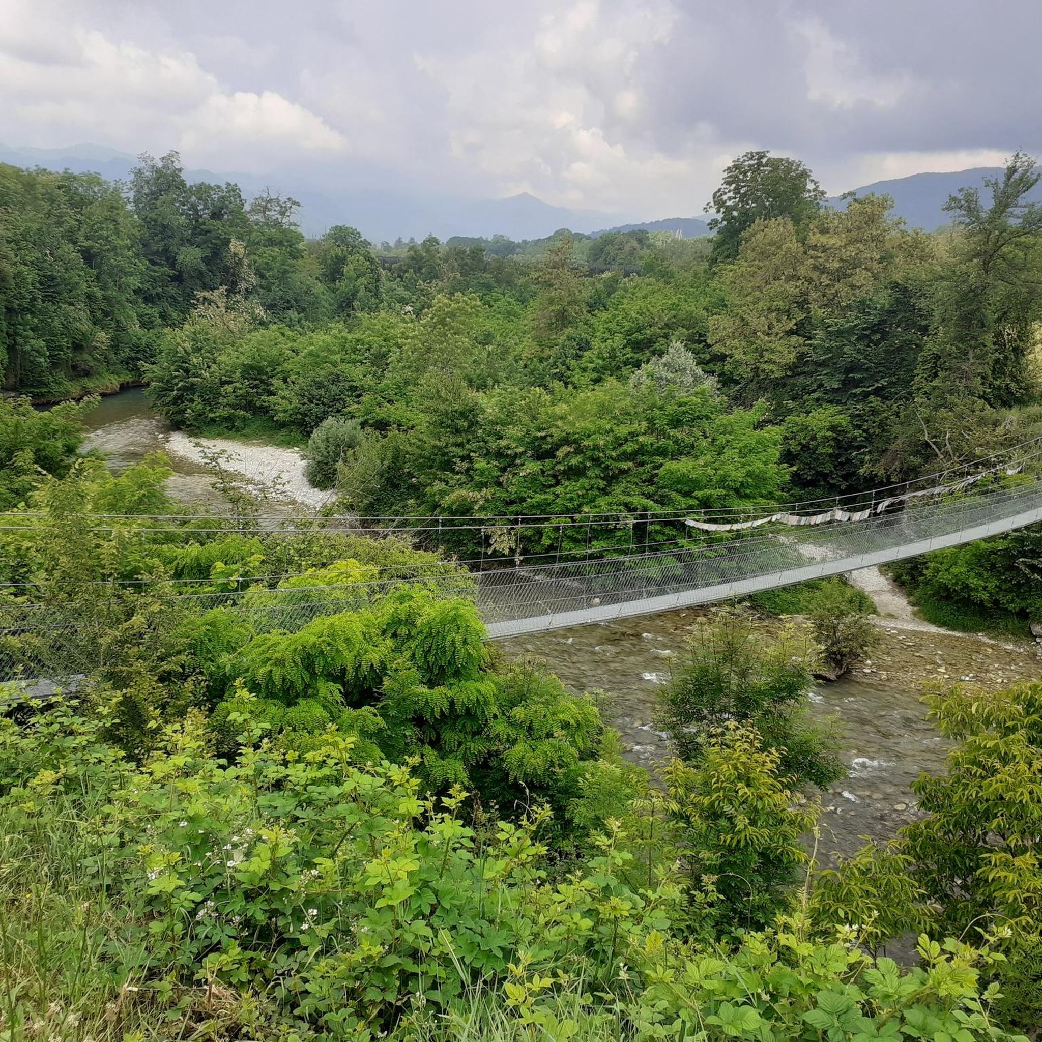
Along and near the gravel bike routes, you can find several points of interest. Notable attractions include the historic Devil's Bridge of Dronero, the scenic Birrone Pass, and the Paraloup Hamlet. For stunning views, consider routes that pass near the Liretta Pass.
What is the best time of year for gravel biking in Dronero?
Given the mountainous terrain and potential for snow at higher elevations, the best time for gravel biking in Dronero is typically from late spring through early autumn. This period generally offers more favorable weather conditions and clear trails, especially for routes involving mountain passes.
Are there specific considerations for winter gravel biking in Dronero?
Winter gravel biking in Dronero can be challenging due to snow and ice, particularly on higher mountain passes and shaded forest paths. Many routes may become impassable or require specialized equipment. It's advisable to check local conditions and weather forecasts thoroughly before attempting winter rides.
What do other gravel bikers enjoy most about Dronero?
The gravel biking experience around Dronero is highly rated by the komoot community, with an average score of 4.6 stars from over 30 reviews. Riders often praise the challenging climbs, the extensive forest areas, and the rewarding views from the mountain passes.
Are there any less-known or 'hidden gem' gravel trails in Dronero?
While specific 'hidden gems' are often discovered through local exploration, routes like the Strada dei Cannoni – Birrone Pass loop from Busca offer a challenging yet rewarding experience through mountainous terrain that might be less frequented than the most popular options, providing a sense of discovery.
Is parking available for gravel bikers in Dronero and surrounding areas?
Yes, parking is generally available in Dronero and the starting points of many routes in nearby towns like Busca, Montemale di Cuneo, and Villar San Costanzo. It's always a good idea to check specific starting locations for designated parking areas before your ride.
How can I access Dronero's gravel trails by public transport?
Dronero is accessible by public transport, primarily bus services connecting it to larger towns like Cuneo. While some routes may start directly from Dronero, accessing more remote trailheads might require a combination of public transport and a short ride or transfer. Check local bus schedules for the most up-to-date information on routes and bike carriage policies.
Most popular attractions around Dronero

Get inspired with the komoot mobile app


Explore more
Browse the best Gravel rides in other regions.
