The best gravel rides around Casalfiumanese
4.3
(35)
479
riders
51
rides
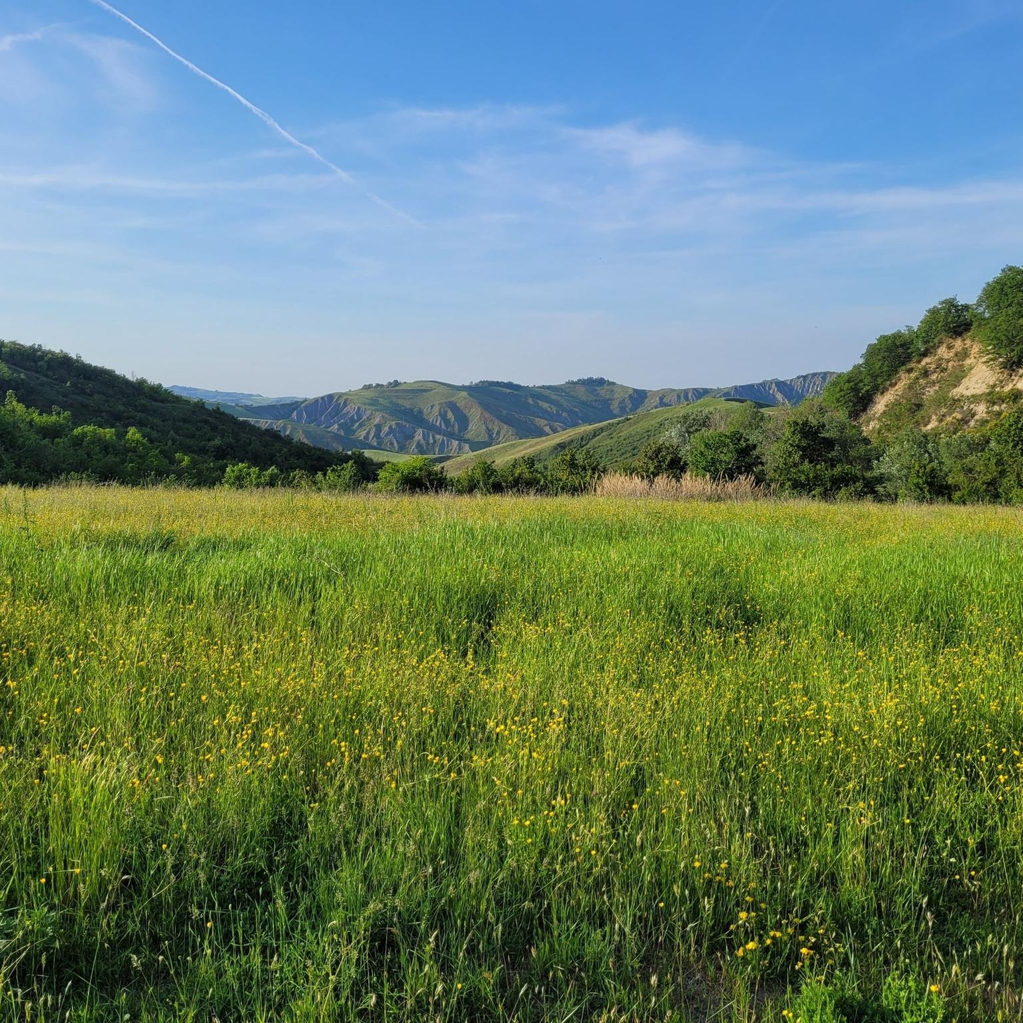
Gravel biking around Casalfiumanese offers a diverse landscape characterized by rolling hills, river valleys, and agricultural areas. The region features a network of unpaved roads and tracks, providing varied terrain for gravel cyclists. Elevations range from gentle ascents along waterways to more challenging climbs into the surrounding hills. This area provides opportunities for both leisurely rides and demanding endurance challenges on gravel surfaces.
Best gravel bike trails around Casalfiumanese
- The most popular gravel bike trail is Canale dei Molini –…
Last updated: October 24, 2026
5.0
(1)
43
riders
90.4km
06:08
1,750m
1,750m
Hard gravel ride. Very good fitness required. Mostly paved surfaces.
3.7
(3)
40
riders
48.9km
03:18
760m
760m
Hard gravel ride. Very good fitness required. Mostly paved surfaces.

4.3
(3)
29
riders
41.7km
02:42
650m
650m
Hard gravel ride. Very good fitness required. Mostly paved surfaces.
5.0
(3)
20
riders
37.5km
02:19
240m
240m
Moderate gravel ride. Good fitness required. Mostly paved surfaces.
4.0
(1)
24
riders
65.5km
04:01
960m
960m
Hard gravel ride. Very good fitness required. You may need to push your bike for some segments of this route.
Get access to more routes and recommendations from other explorers.
Already have an account?
Our route recommendations are based on thousands of hikes, rides, and runs completed by other people on komoot.
Start today with a free account
Your next adventure awaits.
Tips from the Community

Downstream from San Martino in Pedriolo, keep the trail towards Via Riniera or ford towards the left side of the river where possible (easy in summer).
1
0

The gullies are magical at sunset
0
0

Now the road has been fixed again, it is easy to travel both uphill and downhill. Made on 06/06/2025
0
0

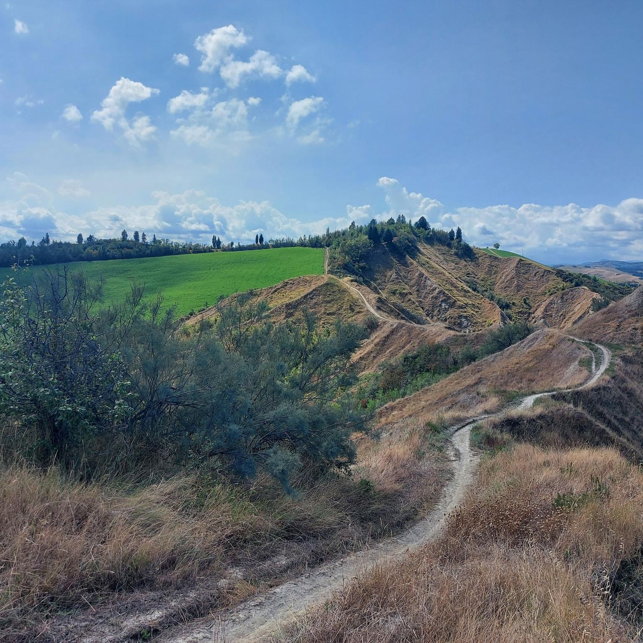
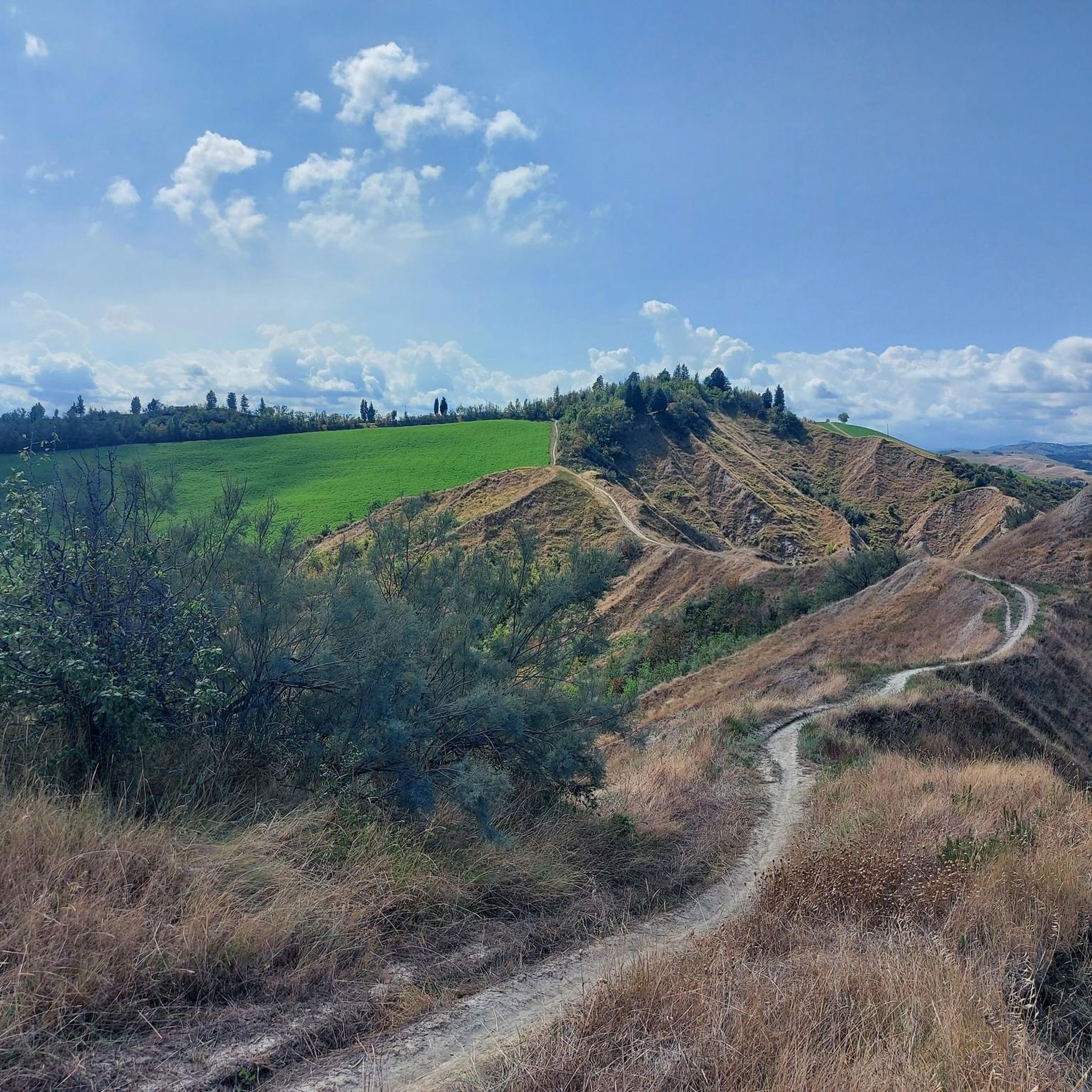
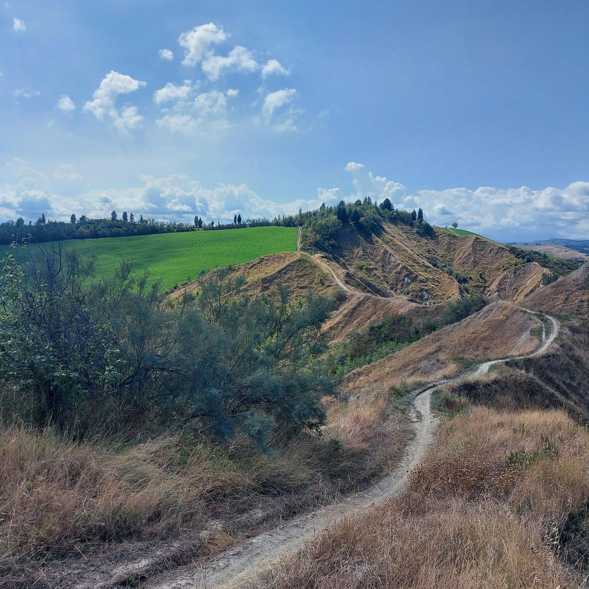
Beautiful view of the Toranello ravines
1
0

Fascinating village for its architecture and the street art that is scattered throughout the citadel.
1
0
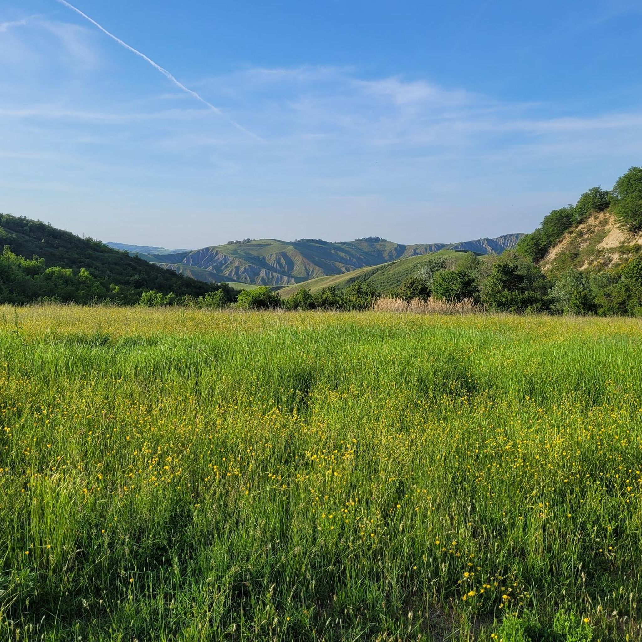
Tough climb but on dirt roads and panoramic from above towards the Sillaro Valley
0
0

Unfortunately today 28-10-2024 the little bridge is completely destroyed by the fall of a tree after the last floods of the Sellustra torrent
0
0

Frequently Asked Questions
How many gravel bike trails are available around Casalfiumanese?
There are over 60 gravel bike routes in the Casalfiumanese area, offering a wide range of options for different skill levels and preferences.
Are there easy gravel bike trails suitable for beginners or families?
Yes, Casalfiumanese offers a few easier routes. For a gentle ride, consider the Canale dei Molini – Imola Circuit loop from Casalfiumanese, which is 23.6 km long with minimal elevation gain, following a canal and offering pleasant views.
What are some challenging gravel biking routes in the region?
For experienced riders seeking a challenge, the area has many difficult routes. The Fegatella Spring – Valsellustra Pastures loop from Castel San Pietro Terme is a demanding 75.4 km trail with significant elevation gain, often taking over six hours to complete. Another challenging option is the Mazzolano Climb – Canale dei Molini loop from Castel San Pietro Terme, which covers 87.1 km with over 1200 meters of ascent.
Are there circular gravel bike routes around Casalfiumanese?
Most of the gravel bike routes in Casalfiumanese are designed as loops, allowing you to start and end at the same point. Examples include the Bridge – Sillaro Panorama loop from Parcheggio Fotovoltaico, which offers panoramic views over the Sillaro valley.
What is the best season for gravel biking in Casalfiumanese?
The region's rolling hills and agricultural landscapes are generally pleasant for gravel biking during spring and autumn, when temperatures are milder. Summer can be warm, but early mornings or late afternoons are still enjoyable. Winter rides are possible, but check local conditions for rain or mud.
What kind of scenery can I expect on the gravel bike trails?
You'll encounter diverse scenery, from river valleys and agricultural fields to more challenging climbs into the surrounding hills. Many routes offer panoramic views, such as those found on the View of Monte Cerere – Sillaro Panorama loop from Castel San Pietro Terme.
What do other gravel bikers say about the routes in Casalfiumanese?
The gravel biking routes in Casalfiumanese are highly rated by the komoot community, with an average score of 4.4 stars from over 40 reviews. Riders often praise the varied terrain, the scenic views, and the opportunities for both leisurely rides and demanding endurance challenges.
Are there any interesting landmarks or attractions to see along the gravel bike routes?
Yes, the area is rich in natural and historical points of interest. You can explore mountain passes like Prugno Pass or Monte Bibele Pass. For historical sites, consider visiting the Monte Battaglia Castle Ruins or the Sanctuary of Santa Maria di Zena.
How long are the gravel bike trails in Casalfiumanese typically?
The lengths of the gravel bike trails vary significantly. You can find shorter routes around 20-30 km, like the easy Canale dei Molini loop, up to much longer and more challenging rides exceeding 70 km, such as the Fegatella Spring – Valsellustra Pastures loop.
Is it possible to find less crowded gravel routes in Casalfiumanese?
While some popular routes may see more traffic, the extensive network of unpaved roads and tracks throughout the rolling hills and agricultural areas means it's generally possible to find quieter paths, especially on weekdays or by exploring some of the less-trafficked difficult routes.
Are there options for coffee stops or refreshments along the gravel routes?
Many routes pass through or near small villages and towns where you can find local cafes and shops for refreshments. Planning your route with komoot allows you to identify potential stops along the way.
Most popular routes around Casalfiumanese
Most popular attractions around Casalfiumanese

Get inspired with the komoot mobile app


Explore more
Browse the best Gravel rides in other regions.
