The best gravel rides around Monteparano
4.0
(18)
143
riders
33
rides
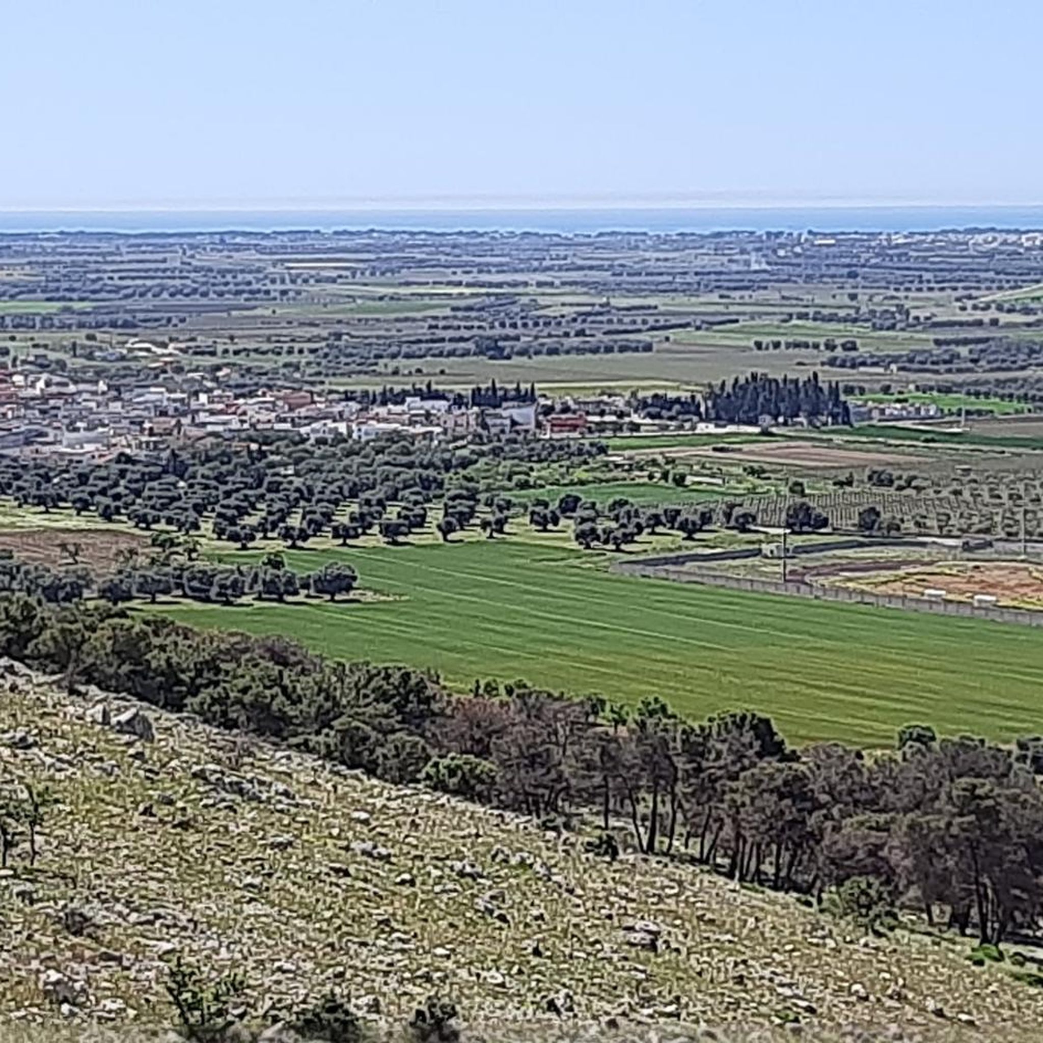
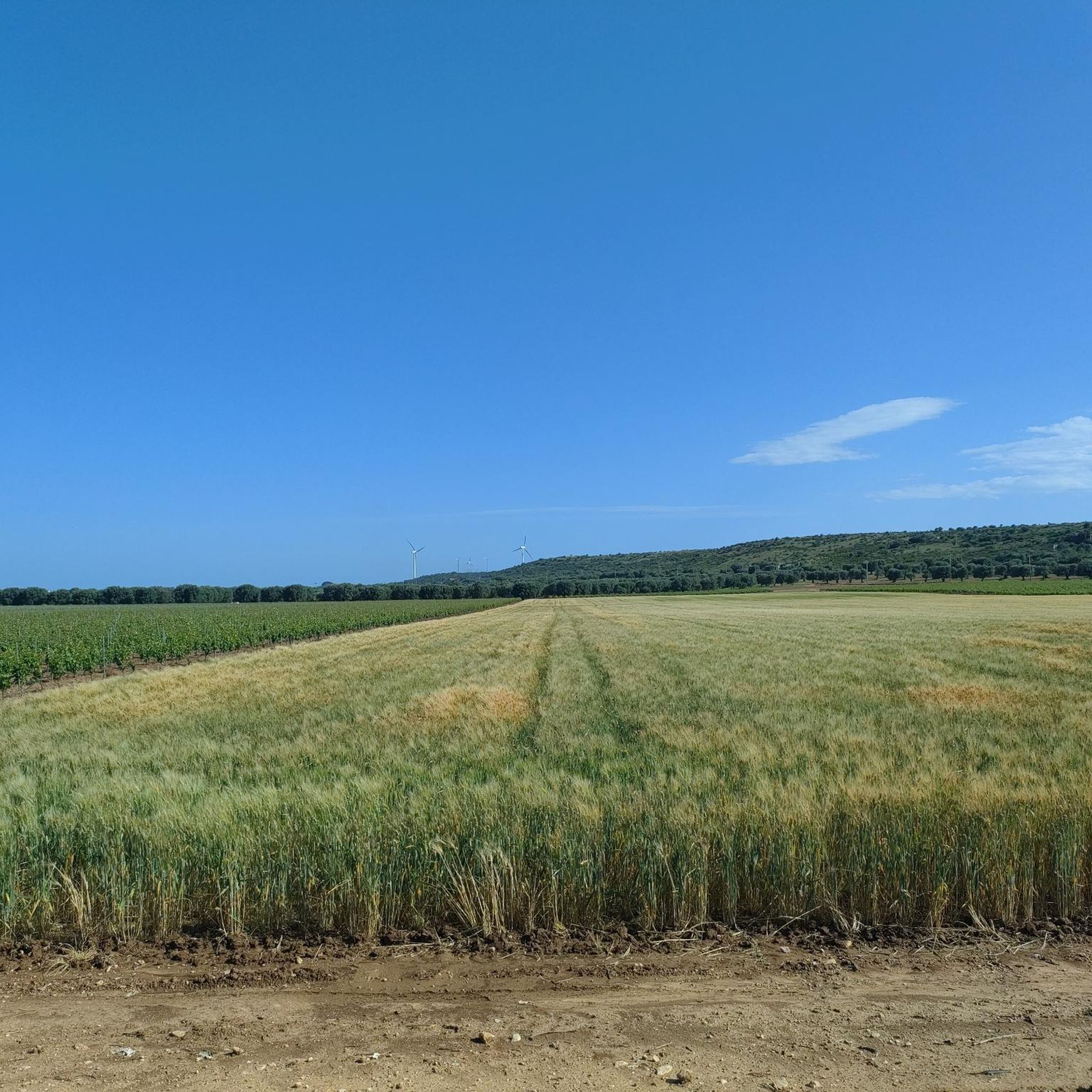
Gravel biking around Monteparano offers diverse terrain in Italy's Puglia region, within the province of Taranto. The area is characterized by its location on a slight hill within the Taranto Murgia, featuring rolling landscapes and proximity to the Salento coast. Cyclists can expect to find white gravel roads and low-traffic secondary roads that traverse agricultural lands, including vineyards and olive groves. This region provides varied elevations and scenic vistas for gravel cycling.
Best gravel bike trails around Monteparano
- The most popular gravel bike trail is Ulmo Pine Grove – Water fountain at Pineta Ulmo loop from Stazione di Grottaglie, a 32.2 miles (51.8 km) trail that takes 3 hours 25 minutes to complete. This moderate route explores the local pine groves and rural landscapes.
- Another top favourite among local gravel bikers is Ulmo Pine Grove – Figazzano Bridge loop from Grottaglie, a difficult 50.8 miles (81.7 km) path. This route offers extensive riding through the region's characteristic olive fields and vineyards.
- Local gravel bikers also love the Masseria Antoglia – AQP Cycle Route loop from Stazione di Grottaglie, a 39.5 miles (63.5 km) trail leading through agricultural plains and rural tracks, often completed in about 4 hours 54 minutes.
- Gravel biking around Monteparano is defined by white gravel roads, rolling hills, and extensive vineyards. The network offers options for different ability levels, from moderate rides to more challenging routes.
- The routes in Monteparano are highly rated by the komoot community with an average score of 3.8 stars from over 10 reviews. More than 100 gravel bikers have used komoot to explore Monteparano's varied terrain.
Last updated: July 7, 2026
4.3
(9)
41
riders
55.5km
03:39
450m
450m
Hard gravel ride. Very good fitness required. Mostly paved surfaces. Suitable for all skill levels.
3.3
(3)
15
riders
89.5km
05:41
790m
790m
Hard gravel ride. Very good fitness required. Mostly paved surfaces. Suitable for all skill levels.

Sign up for free
14
riders
50.0km
03:07
420m
420m
Moderate gravel ride. Good fitness required. Mostly paved surfaces. Suitable for all skill levels.
3.0
(1)
11
riders
67.0km
04:19
690m
690m
Hard gravel ride. Very good fitness required. Mostly paved surfaces. Suitable for all skill levels.
10
riders
70.8km
04:26
660m
660m
Hard gravel ride. Very good fitness required. Mostly paved surfaces. Suitable for all skill levels.
Get access to more routes and recommendations from other explorers.
Sign up for free
Already have an account?
Our route recommendations are based on thousands of hikes, rides, and runs completed by other people on komoot.
Start today with a free account
Your next adventure awaits.
Login or Signup
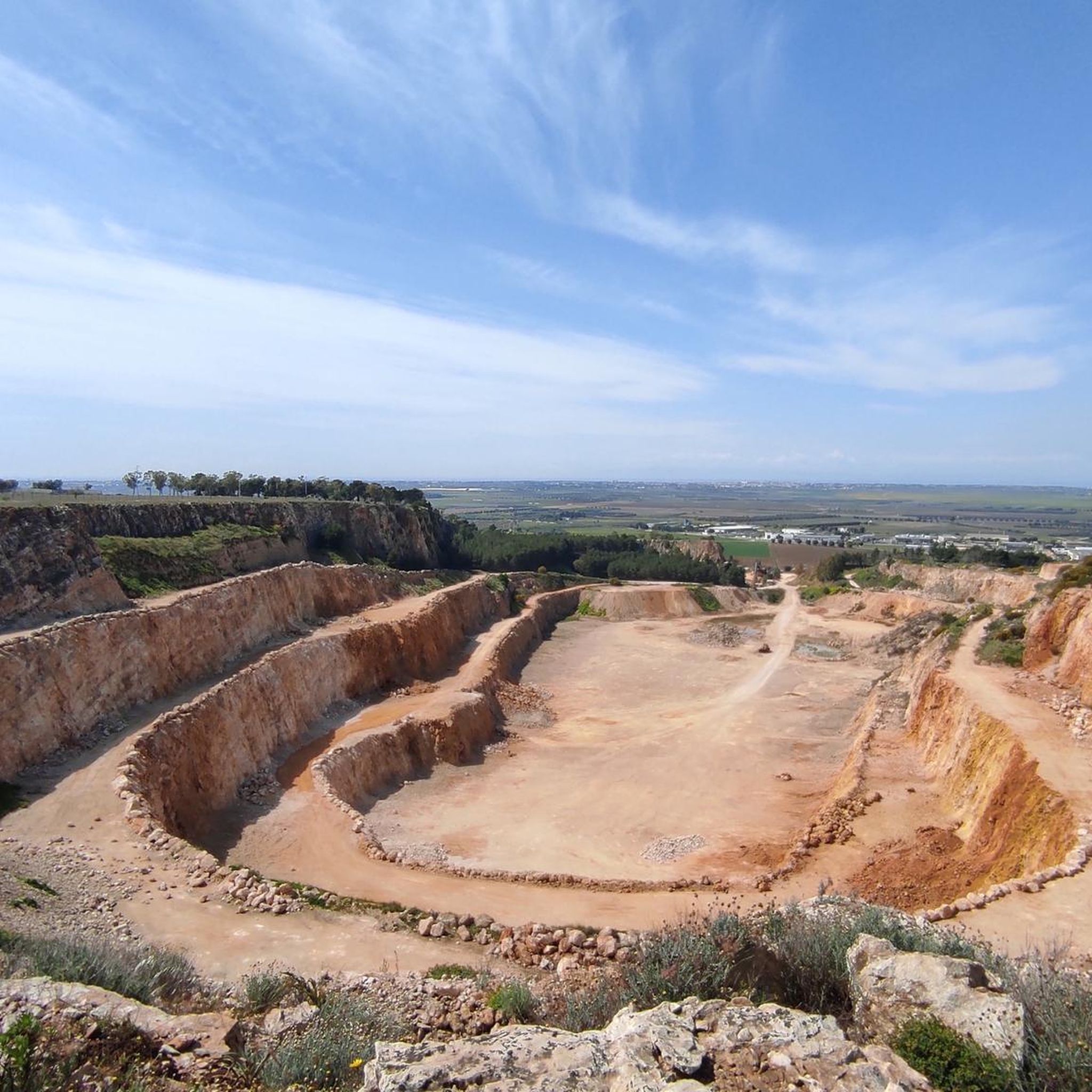
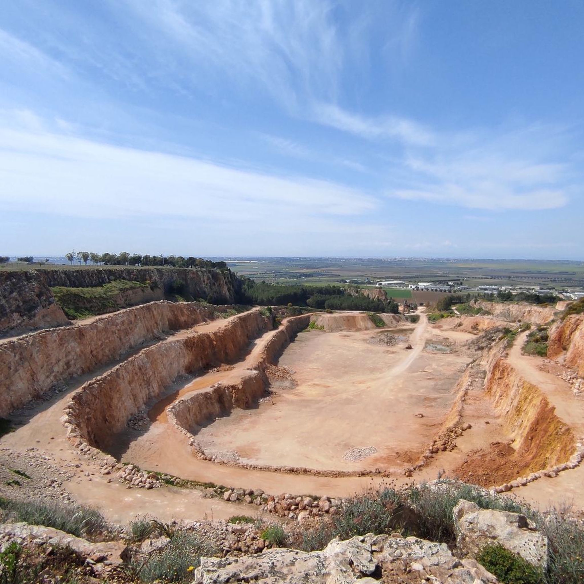
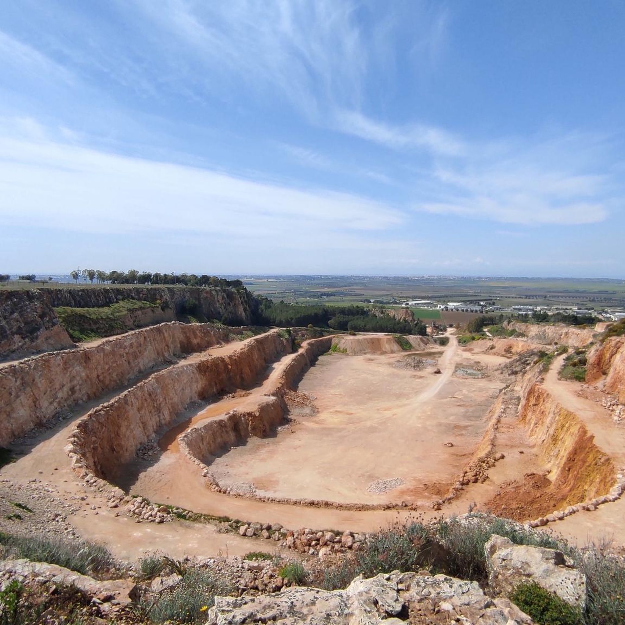
Tips from the Community

The scarecrows signal that we are almost at Villa Castelli
0
0

This hydroelectric plant was once covered in tall pine trees (and still is today) to prevent it from being bombed during World War II. The area is known as "abbascj alla Centrel," and in the past, many people bathed in the canals built near the plant and running through the countryside; the water was fresh, clear, and drinkable. Unfortunately, the canals are poorly maintained, but this place continues to fascinate tourists and all those who come to visit, upon request, especially in May, if they wish to enter the plant. The Apulian Aqueduct Cycle Route has been open for several years next to the hydroelectric plant. This cycle route allows many bike and nature lovers to pedal, walk, and observe the many wonderful places of the Murgia, the Itria Valley, and Salento.
0
0

The Ulmo Pine Forest, featuring a picnic area equipped with wooden tables and benches, extends over approximately ten hectares in the Ceglie Messapica area, in the heart of the Itria Valley. It's the ideal place to spend a relaxing day with friends and family, sheltered by the shade of the Mediterranean scrub and dense Aleppo pine forest, or simply to take a break before continuing your exploration of the surrounding countryside and the nearby towns of the Itria Valley.
0
0
The sheep tracks were essential communication routes for rural and pastoral communities, and are today part of the Italian cultural heritage, recognized as intangible heritage by UNESCO, underlines the Treccani website.
1
0
Base: Natural, often earthy or stony
1
0

There are many ceramics workshops in the immediate vicinity. Despite the similarity in the motifs, the workshops usually have their own unique style. Today—off-season—the neighborhood was very quiet, and some shopkeepers took the time to explain some of the special features to us. It's worth stopping by the shops; you'll probably find something beautiful to take home.
0
0
There is a beautiful pine forest to visit
0
0

The Galante canal bridge (known as the bridge of a hundred lights) is the longest and most important of the entire stretch.
0
0
Frequently Asked Questions
How many gravel bike trails are available around Monteparano?
The komoot community has mapped over 25 gravel bike trails around Monteparano, offering diverse options for your ride. These routes range from moderate to difficult, ensuring there's something for various skill levels.
What kind of terrain can I expect on gravel bike trails near Monteparano?
Gravel biking around Monteparano features a mix of 'white gravel roads' (strade bianche), low-traffic secondary roads, and paths that wind through agricultural lands. You'll encounter rolling hills, extensive vineyards, and olive groves, providing varied elevations and scenic vistas.
Are there any challenging gravel bike routes in the Monteparano area?
Yes, for those seeking a challenge, routes like the Ulmo Pine Grove – Figazzano Bridge loop from Grottaglie offer a difficult 50.8-mile (81.7 km) path with significant elevation changes, traversing extensive olive fields and vineyards.
What are some natural features or scenic viewpoints along the gravel routes?
Many routes pass through picturesque landscapes, including the Ulmo Pine Grove and agricultural plains rich with vineyards and olive groves. The region's location on the Taranto Murgia provides varied elevations, offering scenic vistas across the countryside.
What is the best time of year for gravel biking in Monteparano?
Monteparano benefits from a mild climate year-round, making it suitable for gravel biking for much of the year. Spring and autumn generally offer the most pleasant temperatures for exploring the trails.
Are there any family-friendly gravel biking options near Monteparano?
While many routes involve varied terrain and distances, some sections of the regional network, particularly those on low-traffic secondary roads through agricultural areas, can be suitable for families. Look for routes described as moderate in difficulty for a more accessible experience.
Can I bring my dog on the gravel bike trails around Monteparano?
Many of the natural trails and 'white gravel roads' in the Monteparano area are suitable for cycling with dogs, provided they are well-behaved and kept under control. Always ensure your dog is comfortable with the distance and terrain, and carry enough water for both of you.
What historical attractions can I visit while gravel biking near Monteparano?
You can explore cultural highlights such as the Castello D'Ayala Valva in Monteparano itself. Nearby, you might also consider visiting the Grottaglie Ceramics District or the Castello di Pulsano, which are accessible from some of the regional routes.
Are there any loop routes available for gravel biking?
Yes, many of the gravel bike trails around Monteparano are designed as loops. For instance, the Masseria Antoglia – AQP Cycle Route loop from Stazione di Grottaglie is a popular option, covering 39.5 miles (63.5 km) through agricultural plains.
What do other gravel bikers enjoy most about Monteparano?
The area is highly rated by the komoot community, with an average score of 3.8 stars. Reviewers often praise the diverse terrain, the peaceful 'white gravel roads' winding through olive groves and vineyards, and the opportunity to explore the authentic Salento hinterland.
Are there options for parking when accessing gravel bike trails in Monteparano?
While specific designated parking for every trail might vary, you can typically find parking in and around the main towns like Monteparano or Grottaglie, which serve as common starting points for many routes. Look for public parking areas within these communes.
Can I reach the gravel biking areas by public transport?
Monteparano and nearby towns like Grottaglie have some public transport connections. While direct access to every trail might require a short ride, you can often use local buses or regional trains to get to the general vicinity, especially if starting from a train station like Stazione di Grottaglie.
Most popular routes around Monteparano
Most popular attractions around Monteparano

Get inspired with the komoot mobile app


Explore more
Browse the best Gravel rides in other regions.
