The best gravel rides in Estuario Del Río Tinto
4.9
(6)
143
riders
32
rides
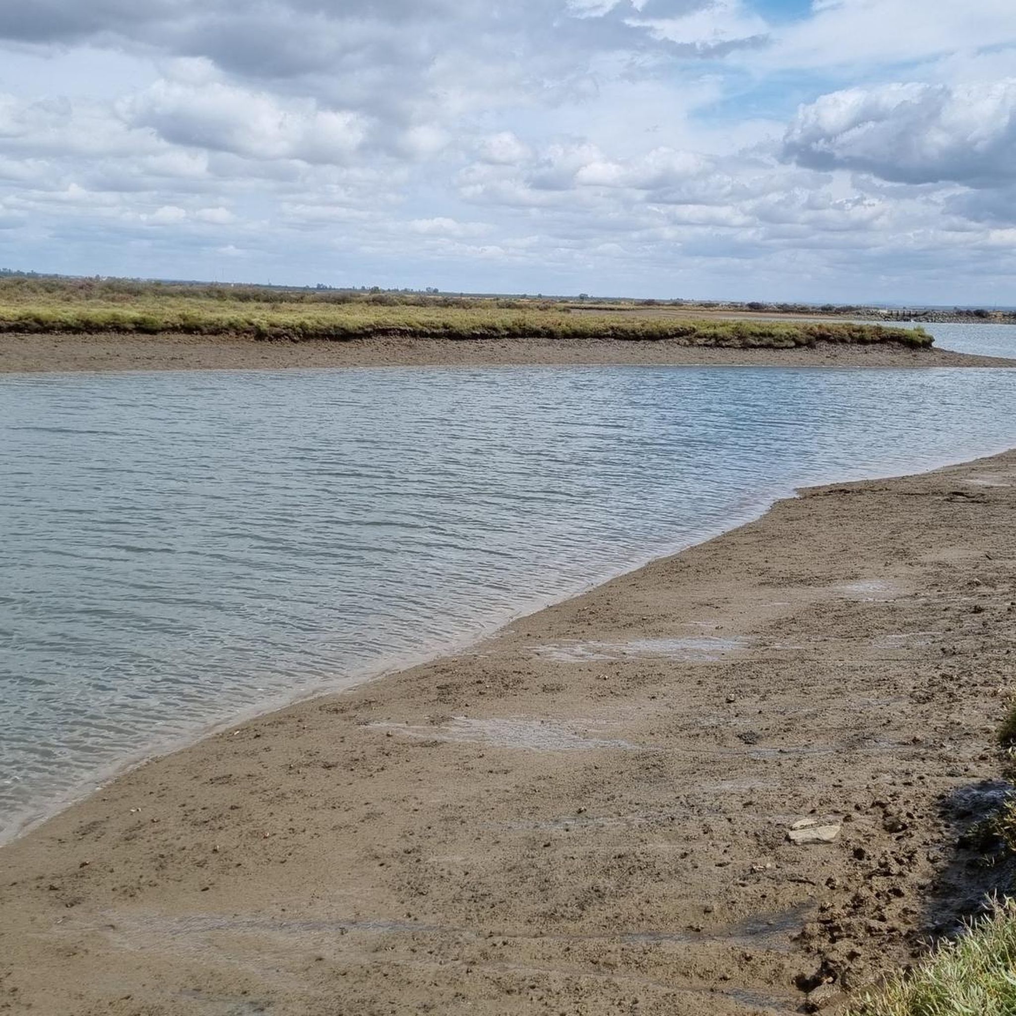
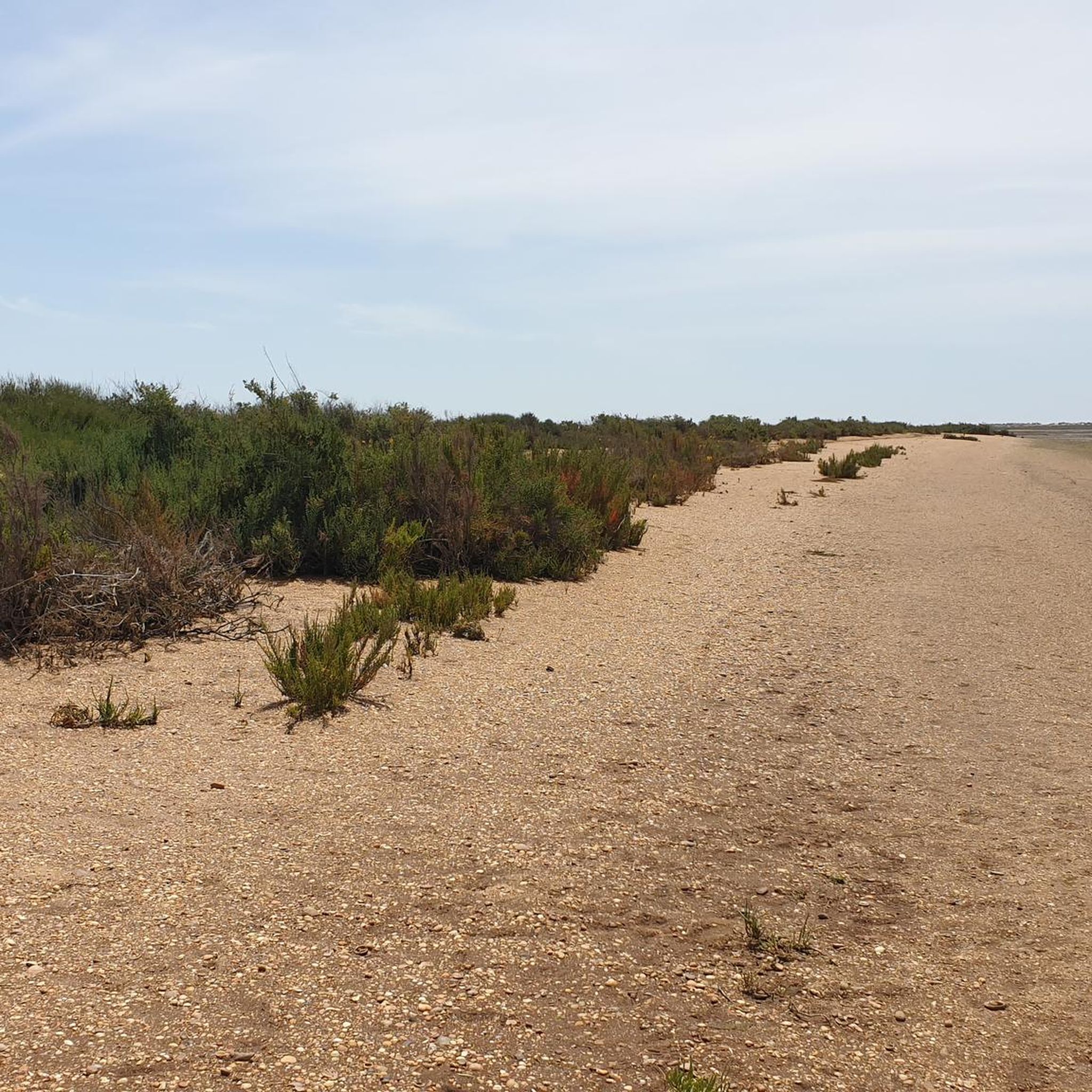
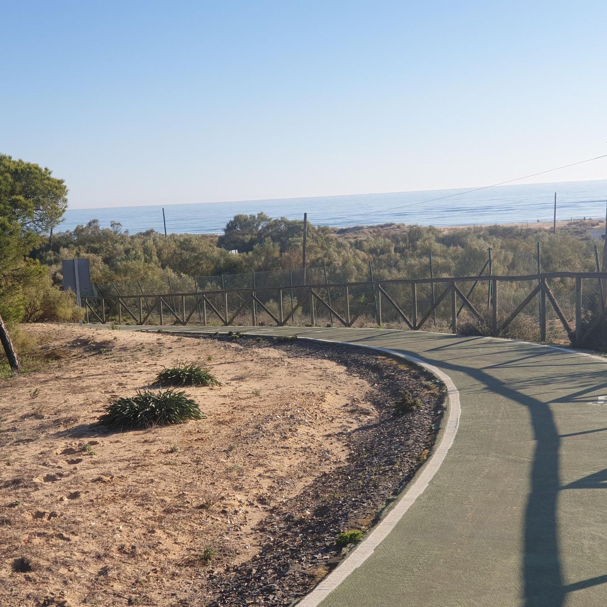
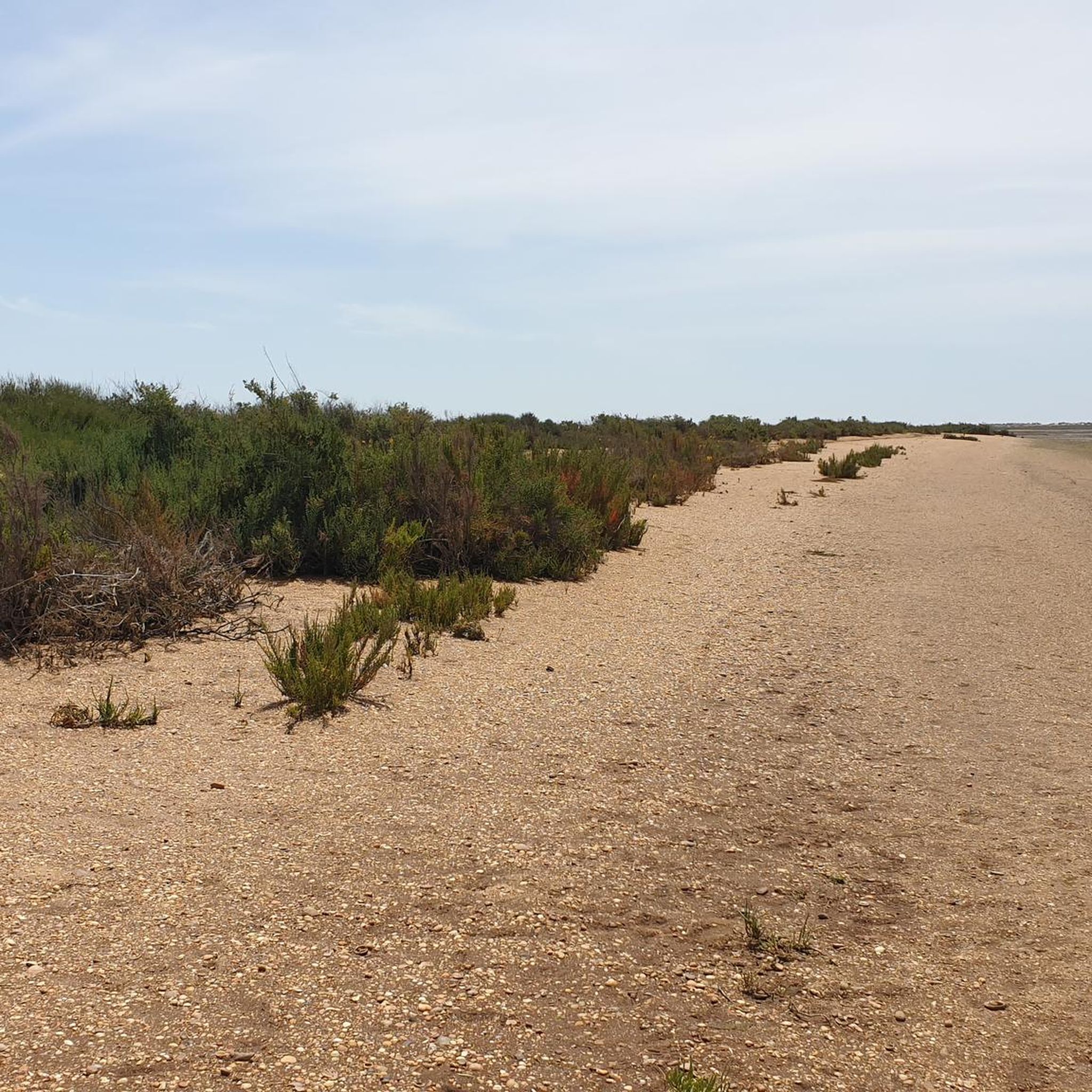
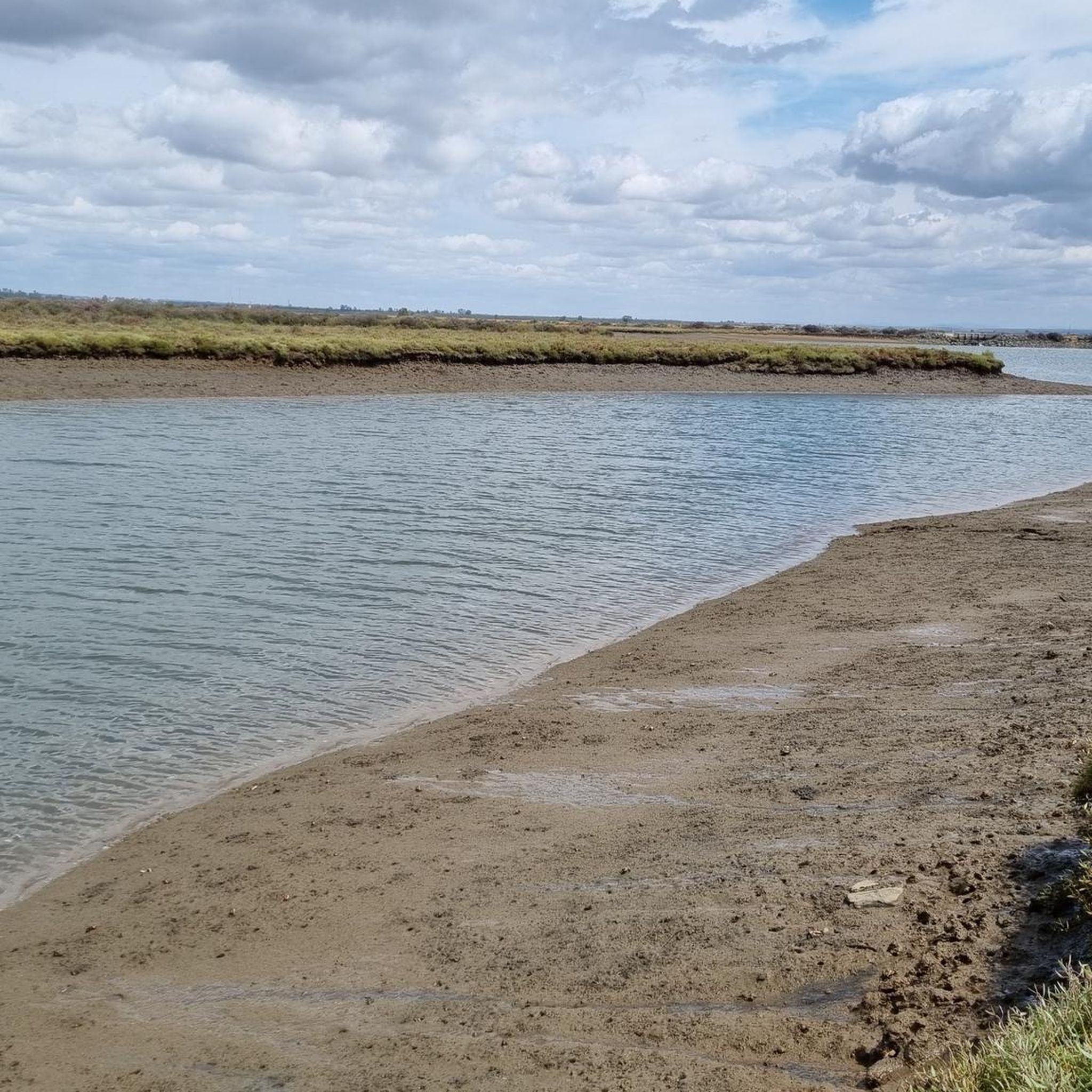
Gravel biking in Estuario Del Río Tinto offers routes through a landscape shaped by the Río Tinto estuary, characterized by marshlands, salt flats, and historical industrial infrastructure. The terrain includes converted railway lines (Vías Verdes) and dirt roads, providing varied surfaces for gravel cyclists. Elevations are generally low, with some routes featuring gradual climbs. The region's geography provides opportunities for both riverside and open marshland riding.
Best gravel bike trails in Estuario Del Río Tinto
- The most popular gravel bike…
Last updated: August 26, 2026
4.8
(4)
41
riders
Hard gravel ride. Good fitness required. You may need to push your bike for some segments of this route.
5.0
(2)
26
riders
79.5km
04:29
230m
230m
Hard gravel ride. Good fitness required. You may need to push your bike for some segments of this route.

Sign up for free
10
riders
81.4km
05:20
370m
370m
Hard gravel ride. Very good fitness required. Mostly paved surfaces. Suitable for all skill levels.
11
riders
68.3km
03:44
460m
460m
Hard gravel ride. Very good fitness required. Mostly paved surfaces. Suitable for all skill levels.
7
riders
82.5km
05:00
450m
450m
Hard gravel ride. Very good fitness required. Mostly paved surfaces. Suitable for all skill levels.
Get access to more routes and recommendations from other explorers.
Sign up for free
Already have an account?
Our route recommendations are based on thousands of hikes, rides, and runs completed by other people on komoot.
Start today with a free account
Your next adventure awaits.
Login or Signup
Tips from the Community

Origin: Built during the Almohad period (12th-13th centuries), as part of Niebla's defensive system. Legend of the name: During the siege by Alfonso X the Wise (1262), the last Muslim king of Niebla, Aben-Mafot, sent a fattened ox out through this gate to create the illusion of abundant provisions and discourage the Christian troops. The stratagem failed, and the city was conquered.
1
0
The Puerta del Buey (Ox Gate) is one of the most emblematic entrances to the walled town of Niebla (Huelva), with great historical and architectural value. It is located on Avenida Puerta del Buey, next to the Tinto River, and forms part of the Almohad wall that surrounds the town.
1
0
The church was built on the site of Niebla's main mosque (11th century), which itself stood on the site of an ancient Roman temple. After the Reconquista (13th century), it was transformed into a Christian church in the Gothic-Mudéjar style. It preserves Roman, Visigothic, Islamic, and Christian elements, such as: A Muslim mihrab and minaret tower. An ornamental panel and Visigothic episcopal chair. Roman columns. A Mudéjar apse and a Gothic presbytery with star vaults.
2
0
The Plaza de Santa María de la Granada in Niebla (Huelva) is home to the Church of Santa María de la Granada, one of the town's most emblematic monuments. The church was built on the site of Niebla's main mosque (11th century), which itself stood on the site of an ancient Roman temple. After the Reconquista (13th century), it was transformed into a Christian church in the Gothic-Mudéjar style.
1
0

Place from which to start many gravel and mountain biking routes
0
0

The route is nice but it is better to start in Trigueros if you are going with a hybrid or gravel bike, up to there the terrain is very bad and there is nothing remarkable from San Juan del Puerto.
0
0

Puerta del Buey is considered the most beautiful of the city gates
0
1
The originally Romanesque church was initially a tolerated Christian church during the Moorish period. This later became the main mosque of Lepla, as the place was called at that time. Today's bell tower was the minaret. An Islamic mihrab (prayer niche) has been preserved in the church as well as a stone bishop's chair from the city's Visigothic era. Through renovation work in the 16th century, the church received Gothic elements with references to the Mudejar style. Unfortunately the church is usually closed.
0
1
Frequently Asked Questions
What is the typical difficulty level of gravel bike trails in Estuario Del Río Tinto?
The gravel biking routes in Estuario Del Río Tinto generally range from moderate to difficult. For instance, the Vía Verde Molino de Acha – Ferruginous Dirt Road loop from Huelva is considered difficult, while the Wooden Bridge Over the Marshes – Salinas de Astur loop from Campo Municipal de fútbol San Andrés is a moderate option.
Are there any beginner-friendly or family-friendly gravel bike routes in Estuario Del Río Tinto?
Most of the gravel bike routes in Estuario Del Río Tinto are categorized as moderate or difficult, often featuring longer distances and varied terrain like converted railway lines and dirt roads. There are no routes specifically listed as easy, so beginners or families with young children might find these trails challenging.
Where can I find parking for gravel biking routes in Estuario Del Río Tinto?
Many routes, such as those starting from Huelva or Campo Municipal de fútbol San Andrés, typically have parking available near the starting points in these towns. It's advisable to check local parking regulations and availability before your ride.
Are GPX tracks available for the gravel bike routes in Estuario Del Río Tinto?
Yes, all gravel bike routes on komoot, including those in Estuario Del Río Tinto, come with downloadable GPX tracks. You can easily access and download them from each individual tour page to navigate your ride.
What is the best time of year for gravel biking in Estuario Del Río Tinto?
The Estuario Del Río Tinto region, being in southern Spain, generally offers pleasant conditions for gravel biking outside of the peak summer months. Spring and autumn provide milder temperatures, making them ideal for exploring the marshlands and riverside paths. Winters are typically mild, allowing for year-round riding, though occasional rain might affect trail conditions.
Can I expect to see wildlife while gravel biking in Estuario Del Río Tinto?
Absolutely. The region's marshlands and estuary environment are rich in biodiversity, especially birdlife. Keep an eye out for various migratory and resident bird species as you cycle through areas like the Salinas de Astur or along the Río Tinto.
Are dogs allowed on the gravel bike trails in Estuario Del Río Tinto?
While specific regulations can vary, generally, dogs are permitted on many public trails in Spain, often on a leash. Given the natural environment of Estuario Del Río Tinto, it's common to see dogs accompanying their owners. However, always be mindful of local signage, especially in protected natural areas, and ensure your dog is well-behaved and doesn't disturb wildlife.
Are there many circular gravel bike routes available?
Yes, the majority of gravel bike routes in Estuario Del Río Tinto are designed as loops. For example, the Gibraleón Iron Bridge – Gibraleón Bridge loop from Huelva and the Wooden Bridge Over the Marshes – Bike Path loop from Punta Umbría are both excellent circular options, allowing you to start and finish at the same point.
What kind of scenery can I expect on the gravel bike trails?
The gravel bike trails in Estuario Del Río Tinto offer diverse scenery, from the unique, often reddish landscapes shaped by the Río Tinto estuary to expansive marshlands and salt flats. You'll also encounter historical industrial infrastructure and converted railway lines (Vías Verdes), providing a blend of natural beauty and cultural heritage.
Are there places to stop for refreshments or good viewpoints along the gravel routes?
While specific cafes directly on the trails might be limited, routes often pass near or through towns like Huelva, Gibraleón, or Punta Umbría, where you can find refreshments. Many sections, especially those along the estuary or through marshlands, offer natural viewpoints to observe the landscape and wildlife. The route View of the Water from the Pier – Gibraleón Iron Bridge loop from Campo Municipal de fútbol San Andrés, for instance, suggests scenic water views.
How many gravel bike routes are available in Estuario Del Río Tinto?
There are over 15 gravel bike routes available in Estuario Del Río Tinto, offering a variety of experiences for cyclists. These routes cater to moderate and difficult skill levels, exploring the unique landscapes of the region.
Most popular routes in Estuario Del Río Tinto

Get inspired with the komoot mobile app


Explore more
Browse the best Gravel rides in other regions.
