The best gravel rides in Sistema Fluvial Ulla-Deza
5.0
(10)
78
riders
16
rides
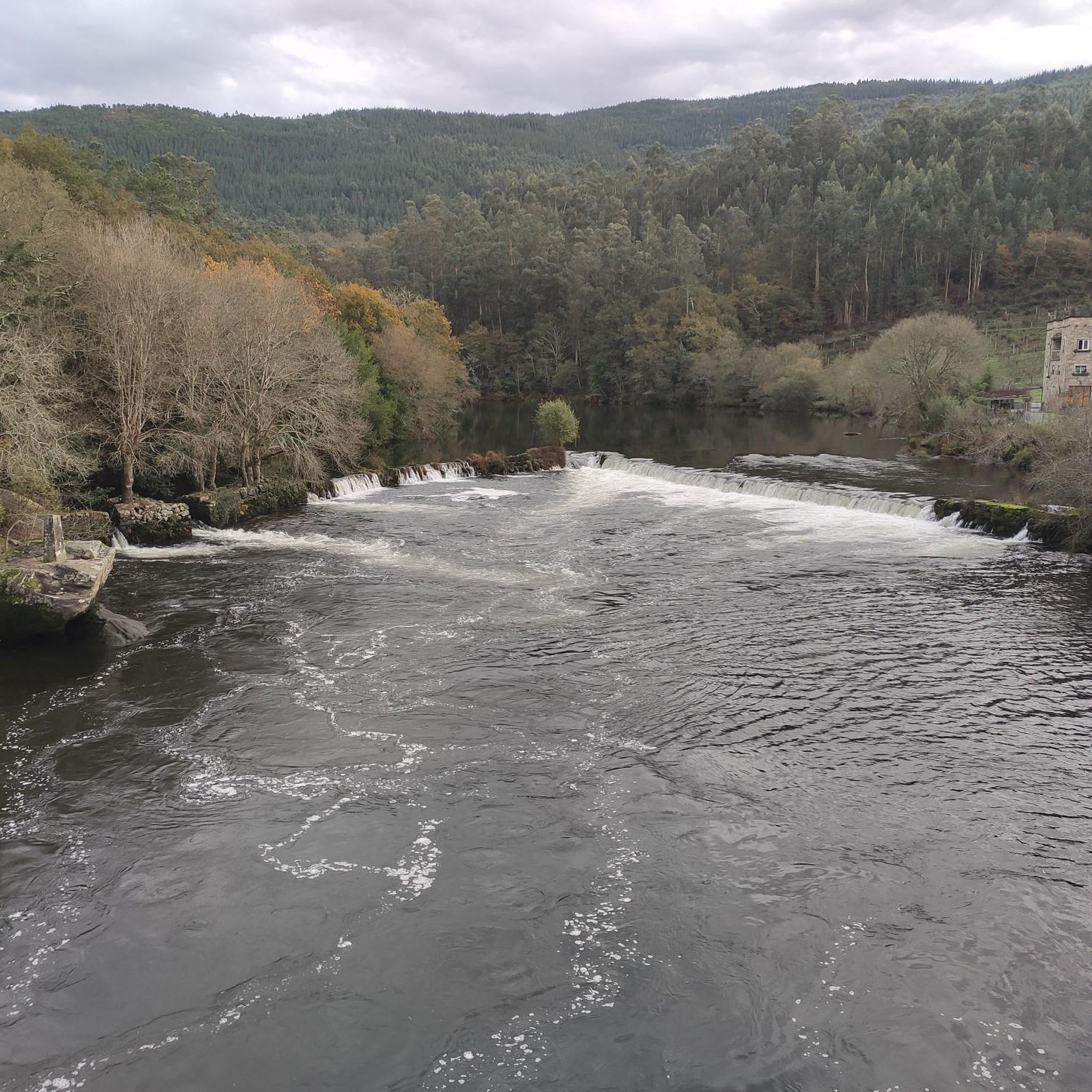
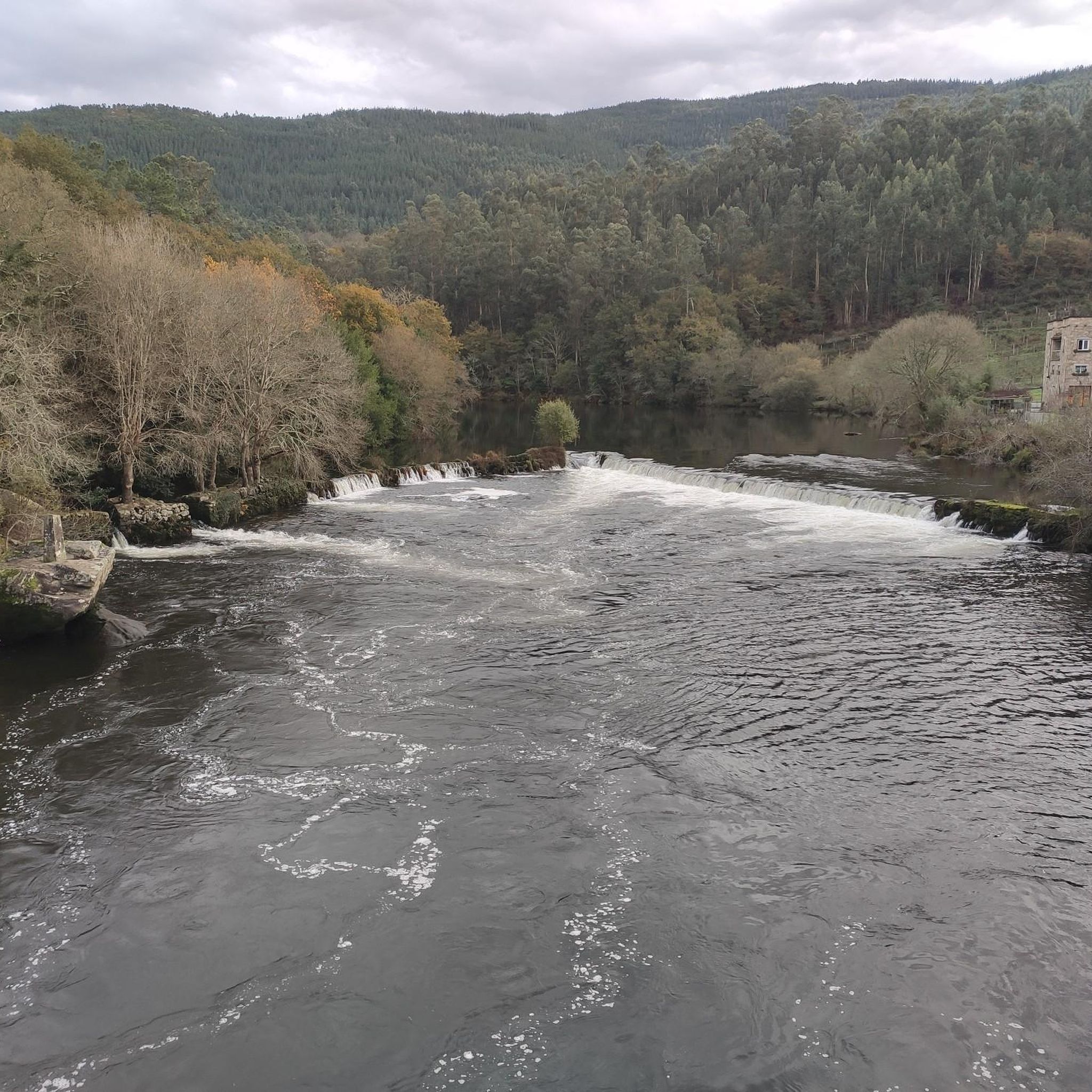
Gravel biking in Sistema Fluvial Ulla-Deza features diverse landscapes shaped by the Ulla River and its tributaries, including the Deza and Sar. The region is characterized by extensive riparian forests, varied riverine terrain with both straight and meandering sections, and a network of paths suitable for gravel bikes. This natural space, part of the Natura 2000 network, provides a mix of unpaved roads and trails through traditional Galician landscapes.
Best gravel bike trails in Sistema Fluvial Ulla-Deza
- The most popular…
Last updated: July 2, 2026
2
riders
32.1km
02:11
500m
500m
Hard gravel ride. Very good fitness required. Mostly paved surfaces. Suitable for all skill levels.
2
riders
26.3km
01:59
420m
420m
Moderate gravel ride. Good fitness required. Mostly paved surfaces. Suitable for all skill levels.

Sign up for free
2
riders
39.4km
02:49
660m
660m
Hard gravel ride. Very good fitness required. Mostly paved surfaces. Suitable for all skill levels.
1
riders
26.7km
01:50
370m
370m
Moderate gravel ride. Good fitness required. Mostly paved surfaces. Suitable for all skill levels.
4
riders
53.5km
03:41
700m
700m
Hard gravel ride. Very good fitness required. Mostly paved surfaces. Suitable for all skill levels.
Get access to more routes and recommendations from other explorers.
Sign up for free
Already have an account?
Our route recommendations are based on thousands of hikes, rides, and runs completed by other people on komoot.
Start today with a free account
Your next adventure awaits.
Login or Signup
Popular around Sistema Fluvial Ulla-Deza
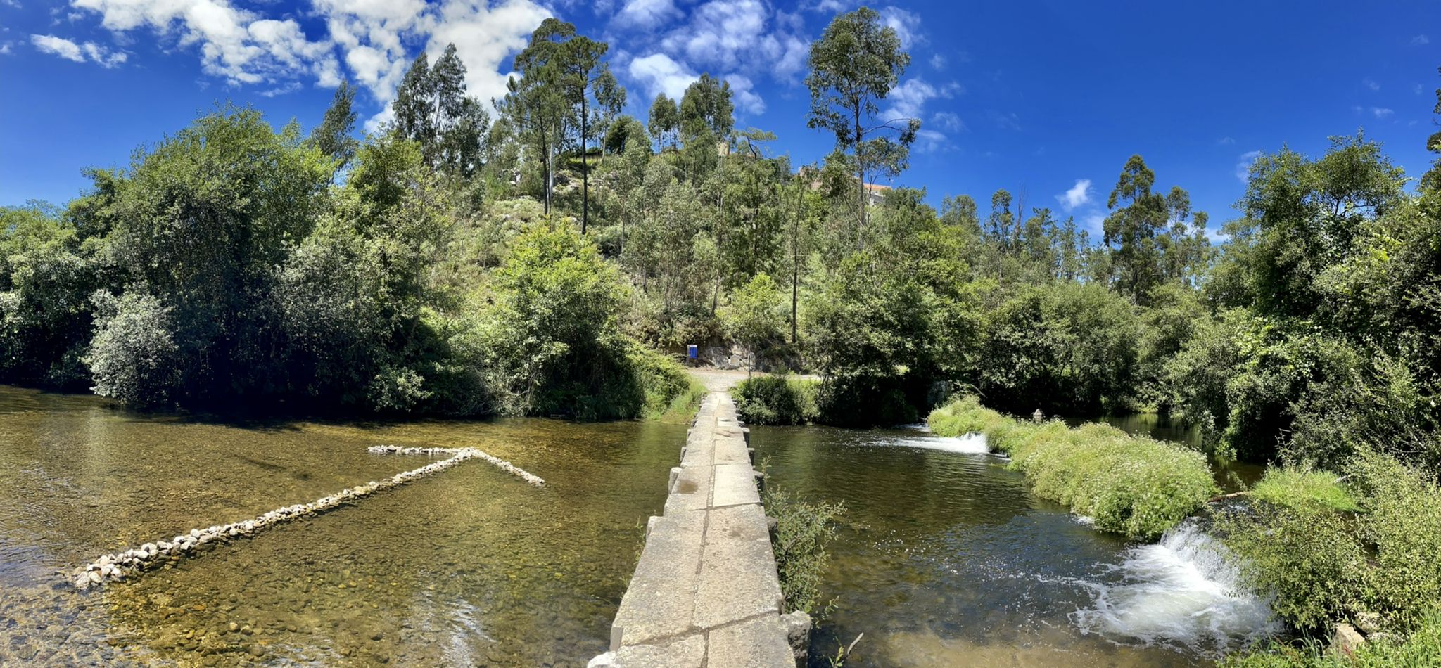
The challenge that knows no frontiers — Portuguese Coast Path
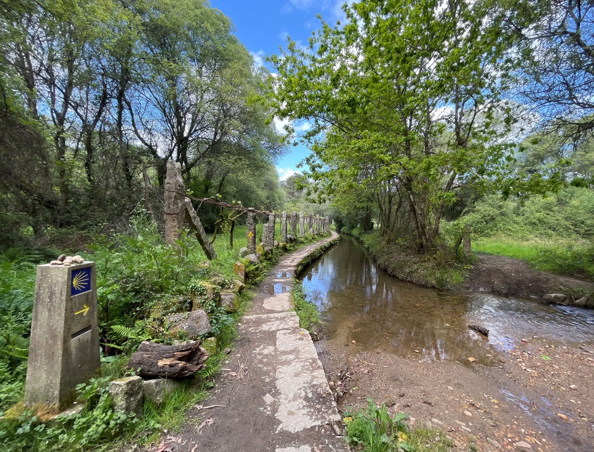
Na Rota dos Peregrinos – o Caminho Central Português
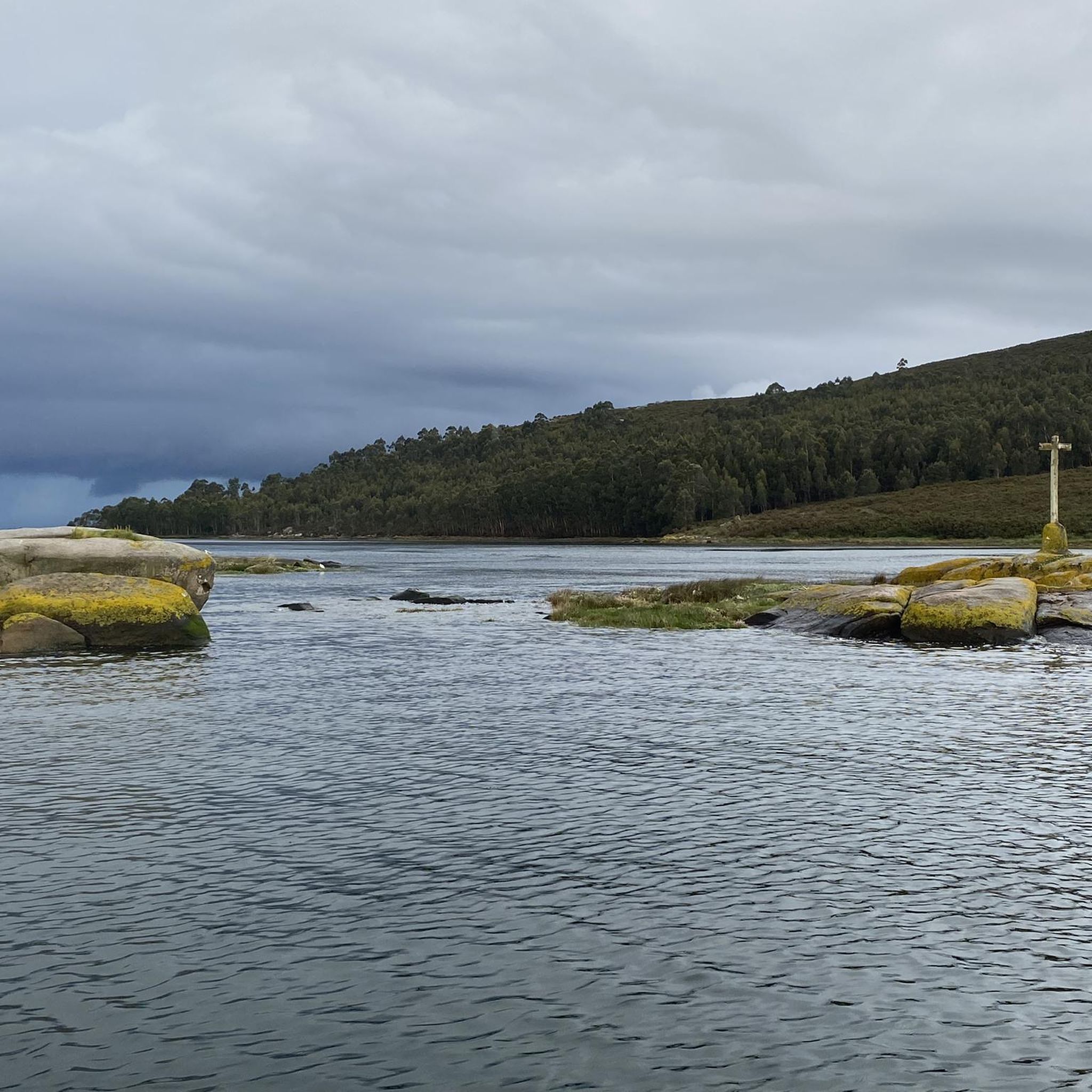
Hiking in Sistema Fluvial Ulla-Deza
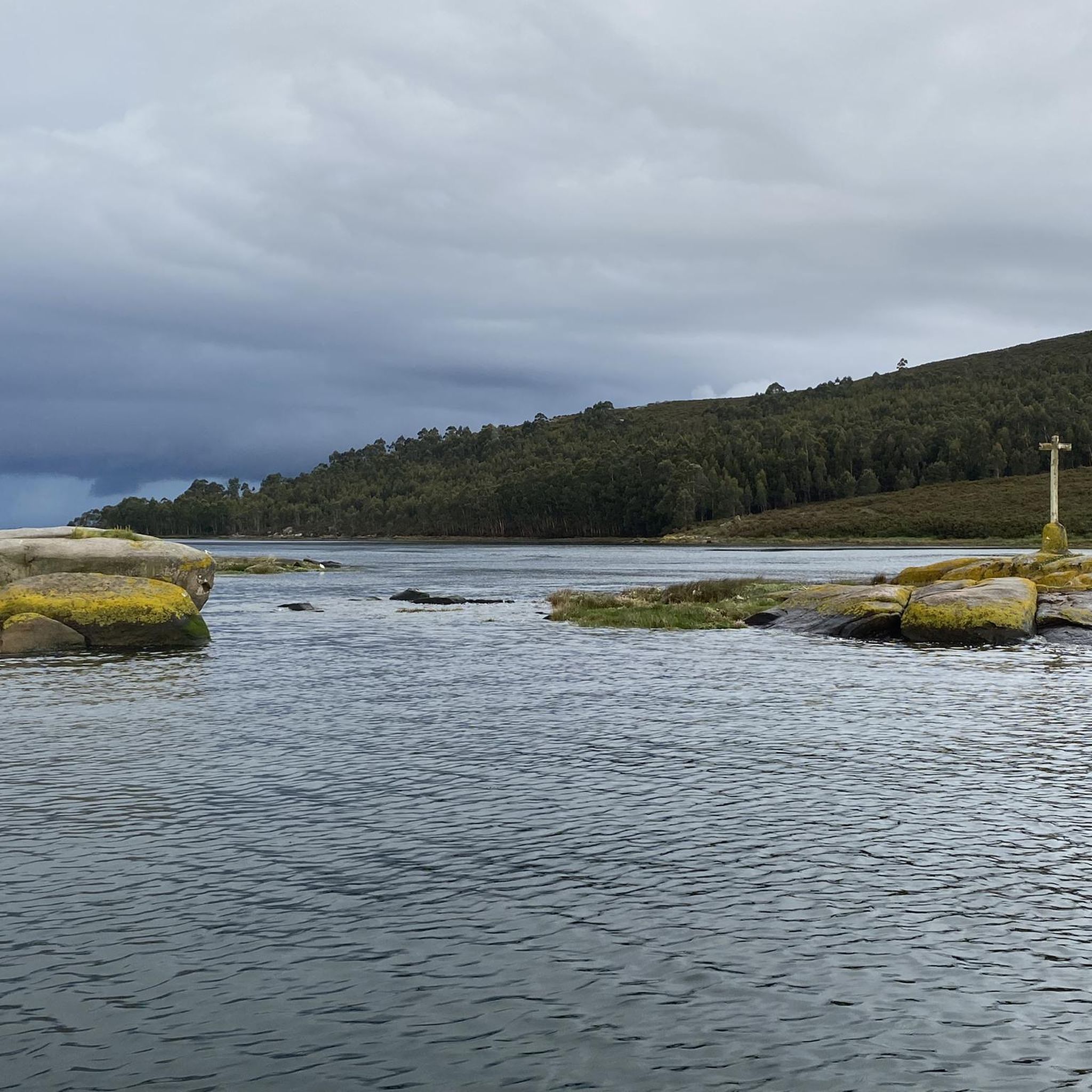
Cycling in Sistema Fluvial Ulla-Deza
Road Cycling Routes in Sistema Fluvial Ulla-Deza
Running Trails in Sistema Fluvial Ulla-Deza
MTB Trails in Sistema Fluvial Ulla-Deza


Tips from the Community


The numerous natural fountains in Spain have always fascinated me – an ancient tradition along important routes.
2
3


For those who do it by bike, I recommend taking panniers and nothing on your back.
1
0
Frequently Asked Questions
What kind of terrain can I expect on gravel bike trails in Sistema Fluvial Ulla-Deza?
The Sistema Fluvial Ulla-Deza region is characterized by diverse landscapes shaped by the Ulla River and its tributaries. You'll encounter a mix of unpaved roads and trails winding through extensive riparian forests, meadows, and varied riverine terrain. The paths often feature alternating straight, sinuous, and meandering sections, providing a dynamic gravel biking experience.
Are there gravel bike routes for all skill levels in Sistema Fluvial Ulla-Deza?
The region primarily offers routes for moderate and difficult ability levels. Out of 22 available tours, 8 are classified as moderate and 14 as difficult, ensuring a challenging and rewarding experience for experienced gravel bikers.
What natural features can I see along the gravel bike routes?
The Sistema Fluvial Ulla-Deza is rich in natural beauty. A significant highlight is the Fervenza do Toxa Waterfall, one of Galicia's most spectacular waterfalls. You'll also ride through well-preserved riparian forests dominated by alders, willows, and ashes, offering lush, green scenery.
Are there any historical landmarks or points of interest along the trails?
Yes, the region is dotted with historical and cultural points of interest. You can encounter numerous historically significant bridges, such as the Padrón Bridge and the Pontevea Medieval Bridge, which offer scenic views. The area also features traditional Galician landscapes with historic manor houses (pazos) and sites like The Pedrón (Church of Saint James of Padrón).
What do other gravel bikers enjoy most about the routes in Sistema Fluvial Ulla-Deza?
The routes in Sistema Fluvial Ulla-Deza are highly rated by the komoot community, with an average score of 5.0 stars from 10 reviews. Over 100 gravel bikers have explored the varied terrain, often praising the extensive riparian forests, the diverse riverine landscapes, and the network of unpaved paths that make for an immersive outdoor experience.
Are there any circular gravel bike routes in the area?
Yes, many of the gravel bike routes in Sistema Fluvial Ulla-Deza are circular, allowing you to start and end at the same point. For example, the difficult route Augapesada Bridge – Augapesada Bridge loop from Bertamiráns offers varied riverine terrain and passes by historic bridges, making for a complete loop experience.
What is the best time of year to go gravel biking in Sistema Fluvial Ulla-Deza?
While specific seasonal data isn't provided, the region's lush riparian forests and riverine environment suggest that spring and autumn would offer pleasant temperatures and vibrant scenery. Summers can be warm, and winters might bring more challenging conditions, so checking local weather forecasts is always recommended.
Are there any family-friendly gravel biking options?
Given that most routes are classified as moderate to difficult, the Sistema Fluvial Ulla-Deza might be more suitable for families with older children or those with prior gravel biking experience. The varied terrain and elevation changes require a certain level of fitness and bike handling skills.
Can I bring my dog on the gravel bike trails?
The Sistema Fluvial Ulla-Deza is a Special Zone of Conservation (ZEC) within the Natura 2000 network. While many natural areas allow dogs, it's always best to check local regulations regarding pets on trails, especially in protected zones, to ensure compliance and respect for wildlife. Keep dogs on a leash and clean up after them.
Are there routes that pass through traditional Galician landscapes?
Absolutely. The Ulla River flows through a traditional Galician landscape, and many routes, such as the Roman Bridge over the Bermaña River – Green Route loop from Catoira, lead through fields, footpaths, and past historic manor houses (pazos), offering a deep immersion into the local culture and scenery.
How long do the gravel bike routes typically take to complete?
The duration varies significantly depending on the route's distance and difficulty. For instance, the Mysterious forest – Pathway Through Vineyards loop from Lamas e Casal, a difficult 66.1 km trail, typically takes around 5 hours 12 minutes. Shorter routes like the 39.3 km Roman Bridge over the Bermaña River – Green Route loop from Catoira can be completed in about 3 hours 20 minutes.
What is the elevation gain like on these gravel bike trails?
The gravel bike trails in Sistema Fluvial Ulla-Deza can feature significant elevation gains, especially on the more difficult routes. For example, the 'Mysterious forest – Pathway Through Vineyards loop' has an elevation gain of nearly 1000 meters, indicating a challenging and hilly ride. Even moderate routes like the 'Santiago de Compostela – Winding paths loop' involve around 450 meters of ascent.
Most popular routes in Sistema Fluvial Ulla-Deza
Most popular attractions in Sistema Fluvial Ulla-Deza

Get inspired with the komoot mobile app


