The best gravel rides around Niederung
4.3
(4)
49
riders
4
rides
Gravel biking around Niederung offers routes through low-lying river plains and extensive lowlands, characterized by generally flat terrain. These areas often feature a mix of hard gravel and forest paths, with occasional short asphalt sections, suitable for gravel bikes. The region is known for its rich biodiversity, often protected as nature reserves, and includes various water bodies like rivers and streams. This landscape provides expansive green spaces and tranquil routes away from urban areas.
Best gravel bike trails around Niederung
…Last updated: October 5, 2026
4.0
(1)
18
riders
Hard gravel ride. Very good fitness required. You may need to push your bike for some segments of this route.
4.0
(2)
8
riders
29.0km
01:53
520m
520m
Hard gravel ride. Very good fitness required. Mostly paved surfaces. Suitable for all skill levels.

5.0
(1)
6
riders
49.5km
03:19
790m
790m
Hard gravel ride. Very good fitness required. Mostly paved surfaces. Suitable for all skill levels.
8
riders
22.9km
01:52
540m
540m
Hard gravel ride. Very good fitness required. Mostly paved surfaces. Suitable for all skill levels.
Our route recommendations are based on thousands of hikes, rides, and runs completed by other people on komoot.
Start today with a free account
Your next adventure awaits.
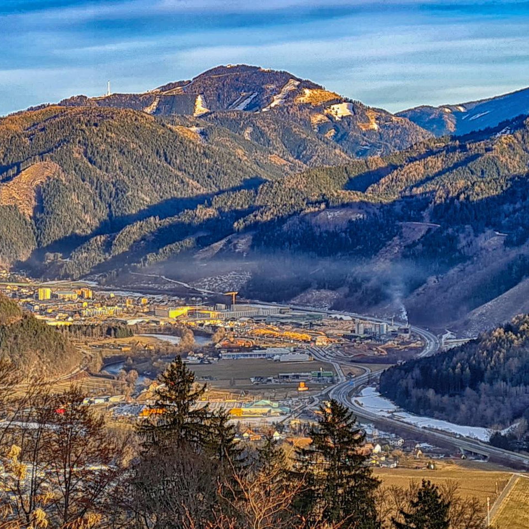
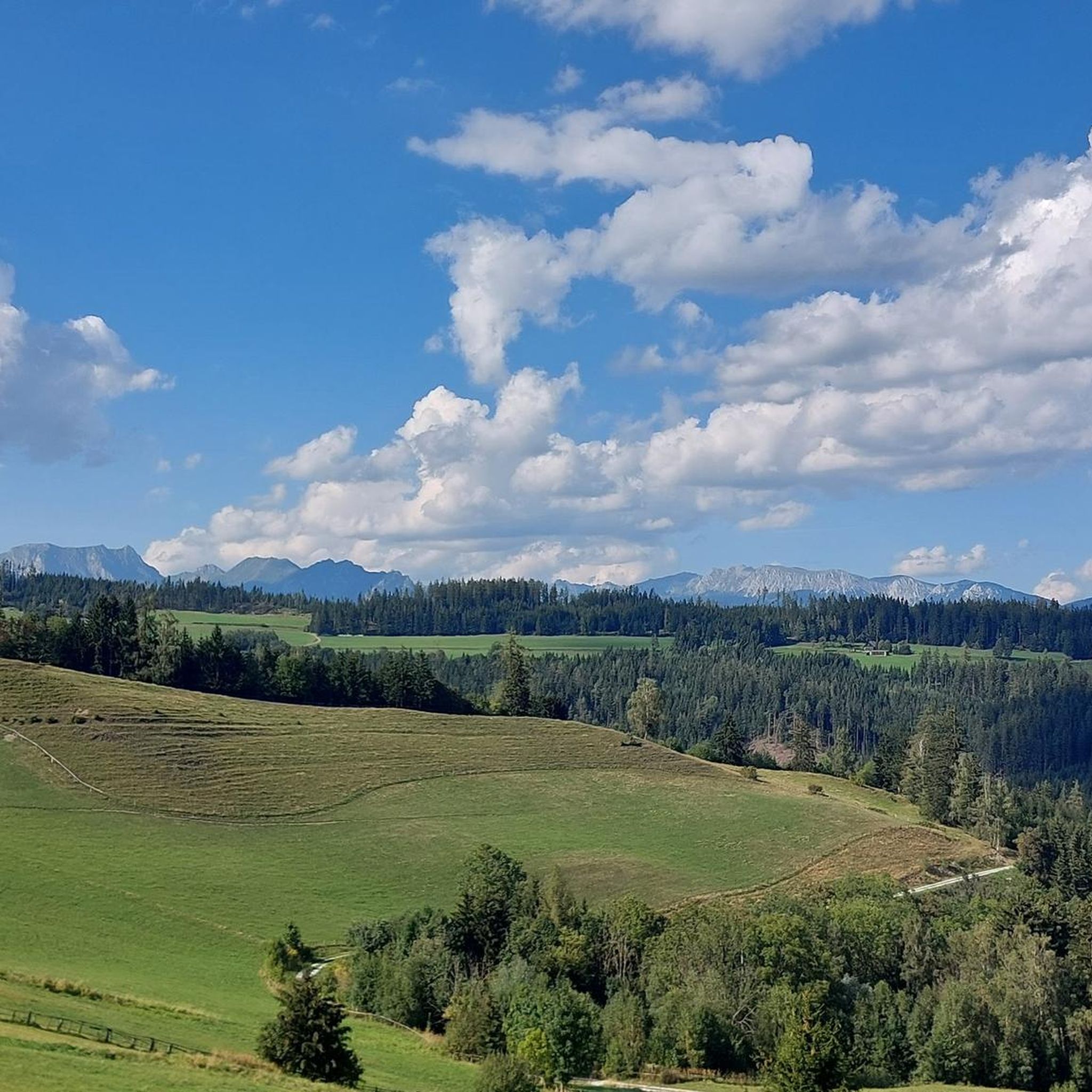
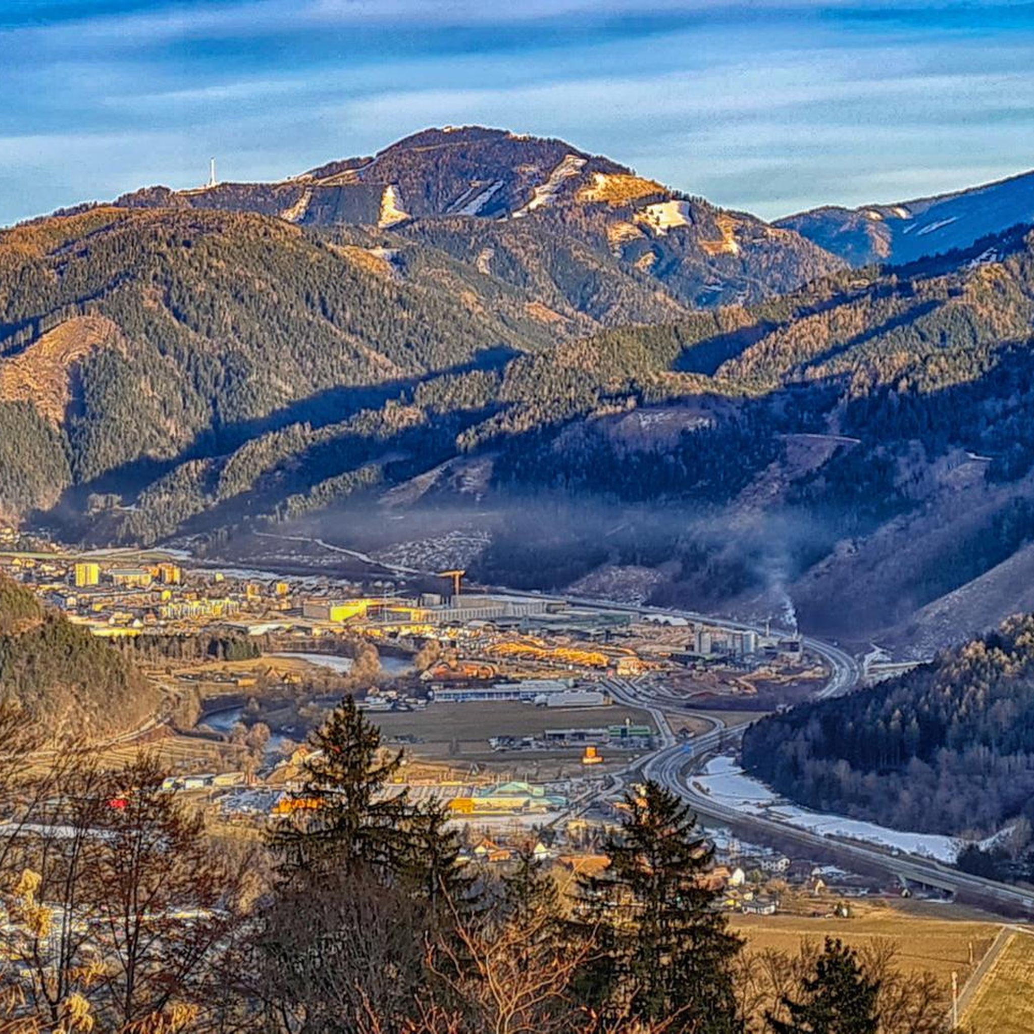
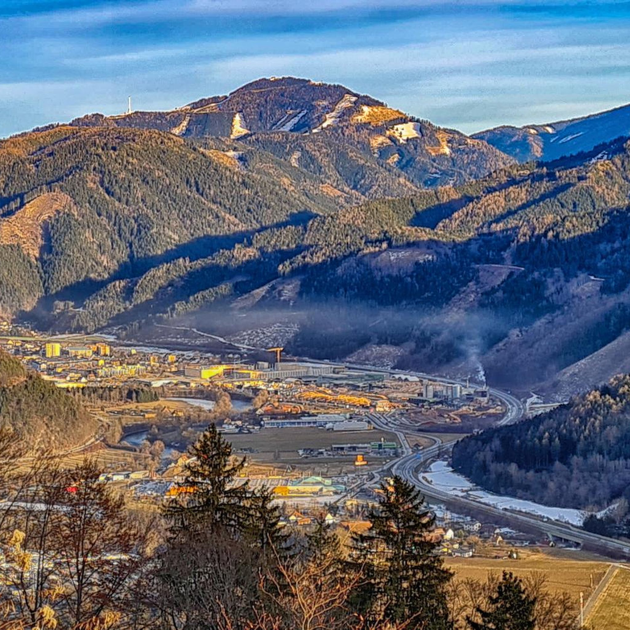
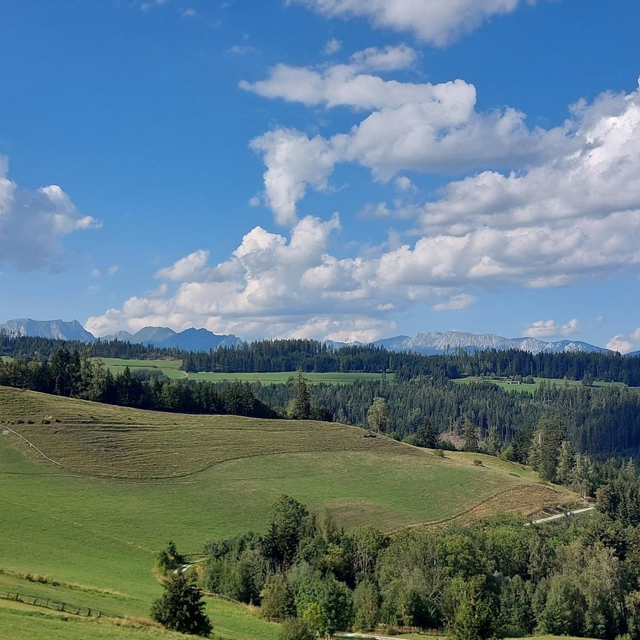
Tips from the Community

What the name means can be found here: https://www.meinbezirk.at/leoben/c-leute/wo-ist-das-tal-der-gesetzlosen_a2314362
0
0

Super great cycle path, I really enjoy riding it
3
0
Very interesting to read
3
0
Beautiful church from the outside and from the inside
3
0
Wonderful cycle path next to the old railway line
3
0
A lot of traffic in the city, but the bike paths are great
3
0

Beautiful hiking trail lake circuit. Fishing center. Clear water. Cool drinks in restaurants. Mini golf course. Large children's playground.
1
0

Frequently Asked Questions
What kind of terrain can I expect on gravel bike trails in Niederung?
Niederung, meaning 'low-lying area,' typically features flat, extended terrain along river plains and extensive lowlands. You'll encounter a mix of hard gravel and forest paths, with occasional short asphalt sections, making it ideal for gravel bikes. While the overall region is flat, some specific routes may include notable ascents and varied terrain.
Are there challenging gravel bike routes available in Niederung?
Yes, the gravel biking network in Niederung primarily offers challenging options for experienced riders. For instance, the Mugel Summit – Kaltenbrunn Chapel loop from Leoben Hauptbahnhof is a difficult 21.6-mile (34.8 km) trail with significant elevation gain, taking around 3 hours 38 minutes to complete.
How long do gravel bike trails in Niederung typically take to complete?
The duration of gravel bike trails in Niederung varies depending on the route's length and elevation. For example, the challenging Valley of the Outlaws – Rudolfsbahn Cycle Path loop from Traboch, at 19.3 miles (31.1 km), typically takes around 2 hours 41 minutes. A slightly shorter route like the Leoben – Chinese Gate at Asia Spa Park loop from Leoben Lerchenfeld (18.5 miles / 29.8 km) can be completed in about 2 hours 20 minutes.
What are the best seasons for gravel biking in Niederung?
The flat terrain and diverse paths of Niederung make it suitable for gravel biking across multiple seasons. Spring offers fresh greenery, while autumn provides beautiful foliage. Due to the low-lying nature, it's advisable to check local conditions, especially in spring for potential wetness from snowmelt, and in winter for icy patches on paths.
Are there any family-friendly or beginner gravel biking options in Niederung?
While the specific routes highlighted in this guide are generally challenging, the overall flat topography of Niederung, characterized by river plains and lowlands, can offer potential for less strenuous rides. Look for local paths away from the main routes if you're seeking easier, family-friendly options, though these may not be explicitly mapped as gravel bike tours.
What kind of natural attractions can I see while gravel biking in Niederung?
Niederungen are often rich in biodiversity and protected as nature reserves. You can expect to see diverse flora and fauna, especially in wetland areas and along rivers and streams. Areas like the Boberger Niederung, for example, feature sand dunes, forests, and opportunities for bird watching. The presence of water bodies adds to the scenic beauty.
What do other gravel bikers say about the trails in Niederung?
The gravel biking routes in Niederung are highly rated by the komoot community, with an average score of 4.3 stars from over 8 reviews. Many of the 74 visitors who have explored the region praise the varied terrain and the unique experience of cycling through these low-lying landscapes.
Are the gravel bike routes in Niederung typically loops or point-to-point?
Many of the popular gravel bike routes in Niederung are designed as loops, allowing you to start and end your ride at the same location. Examples include the Main Square, Leoben – Mur Upper Water Canal loop from Bürgerwald and the Reiting View – Krumpen Cycling Route loop from Trofaiach.
What are the conditions like for winter gravel cycling in Niederung?
Winter gravel cycling in Niederung is possible, but conditions can vary. The low-lying nature means paths might be prone to frost or ice, especially in shaded forest sections. Always check local weather and trail conditions before heading out, and ensure your bike is equipped for potentially slippery surfaces.
Are there any specific nature reserves or protected areas I might cycle through in Niederung?
Yes, many Niederungen are designated nature reserves due to their unique ecosystems. Examples include the Aland-Elbe-Niederung and the Boberger Niederung. These areas offer rich biodiversity, wetlands, and marshlands, providing opportunities for nature observation during your ride. For more general information about the geographical term 'Niederung', you can refer to Wikipedia.
How many gravel bike trails are available in the Niederung region on komoot?
There are 10 gravel bike trails currently available in the Niederung region on komoot, all of which are categorized as difficult, offering a challenge for experienced riders.
Most popular routes around Niederung

Get inspired with the komoot mobile app


Explore more
Browse the best Gravel rides in other regions.
