The best gravel rides around Muckenschupf
4.6
(97)
538
riders
79
rides
Gravel biking around Muckenschupf offers varied landscapes, characterized by a mix of river valleys, dense forests, and rolling terrain. The region features well-maintained trails suitable for off-road cycling, providing opportunities for both challenging climbs and scenic descents. Natural features like the Leudelsbach Valley and the Neckar River provide diverse environments for gravel bike trails. This area in Baden-Württemberg offers a range of routes that explore its natural beauty and historical landmarks.
Best gravel bike trails around Muckenschupf
- The most popular…
Last updated: June 25, 2026
4.7
(7)
27
riders
53.3km
03:33
740m
740m
Hard gravel ride. Very good fitness required. You may need to push your bike for some segments of this route.
8
riders
Moderate gravel ride. Good fitness required. Mostly paved surfaces. Suitable for all skill levels.

Sign up for free
21
riders
Moderate gravel ride. Good fitness required. Mostly paved surfaces. Suitable for all skill levels.
4.5
(2)
15
riders
14.9km
00:51
130m
130m
Easy gravel ride. Great for any fitness level. Mostly paved surfaces. Suitable for all skill levels.
6
riders
30.7km
01:53
450m
450m
Hard gravel ride. Very good fitness required. Mostly paved surfaces. Suitable for all skill levels.
Get access to more routes and recommendations from other explorers.
Sign up for free
Already have an account?
Our route recommendations are based on thousands of hikes, rides, and runs completed by other people on komoot.
Start today with a free account
Your next adventure awaits.
Login or Signup
Tips from the Community

full concentration is required here by bike
0
0

In summer, the beer garden set up in front of the Wichtel invites you to take a break and linger. Until then, you can also sit outside in the courtyard at the Wichtel when the weather is good.
1
0

Disastrous road, not suitable for cycling.
0
0


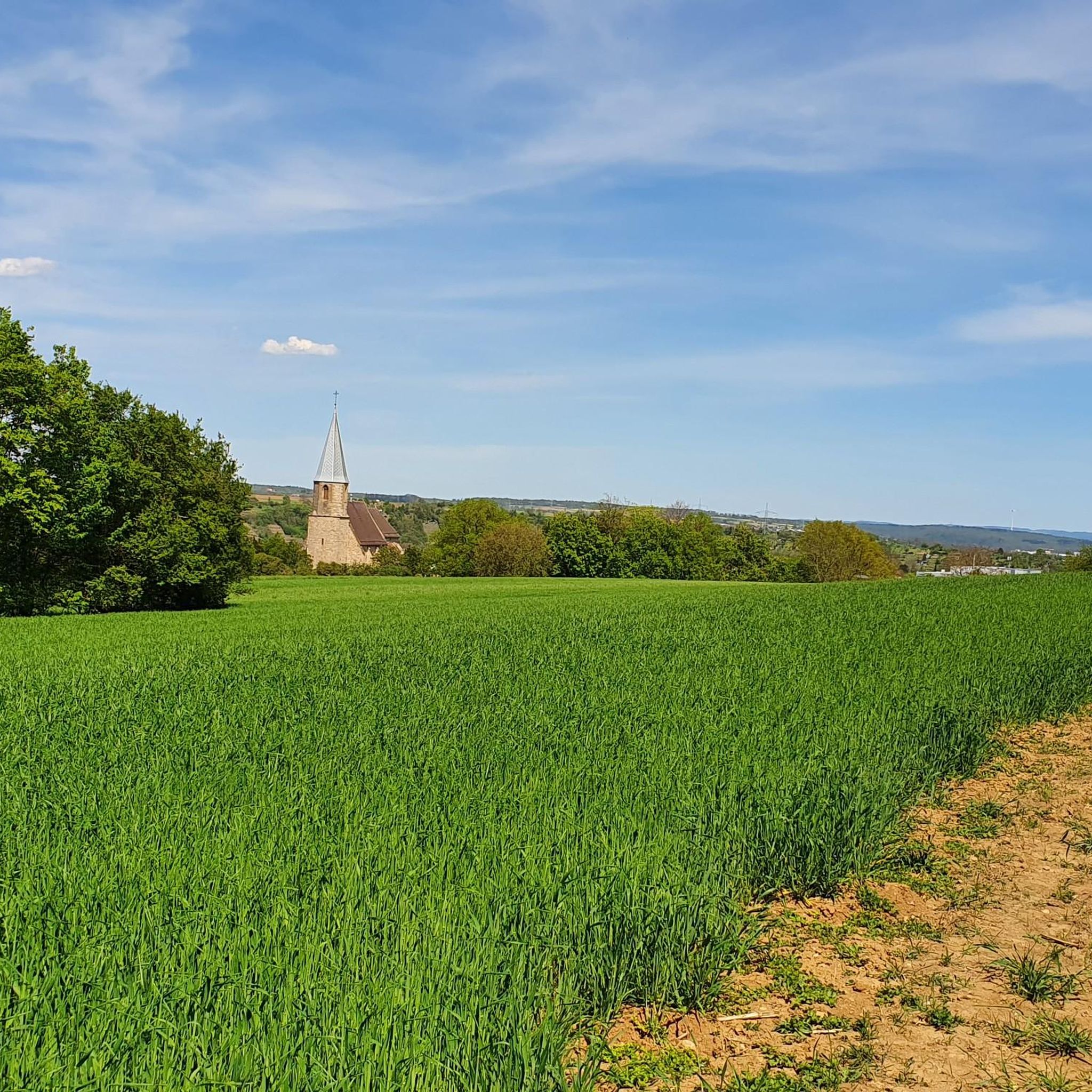
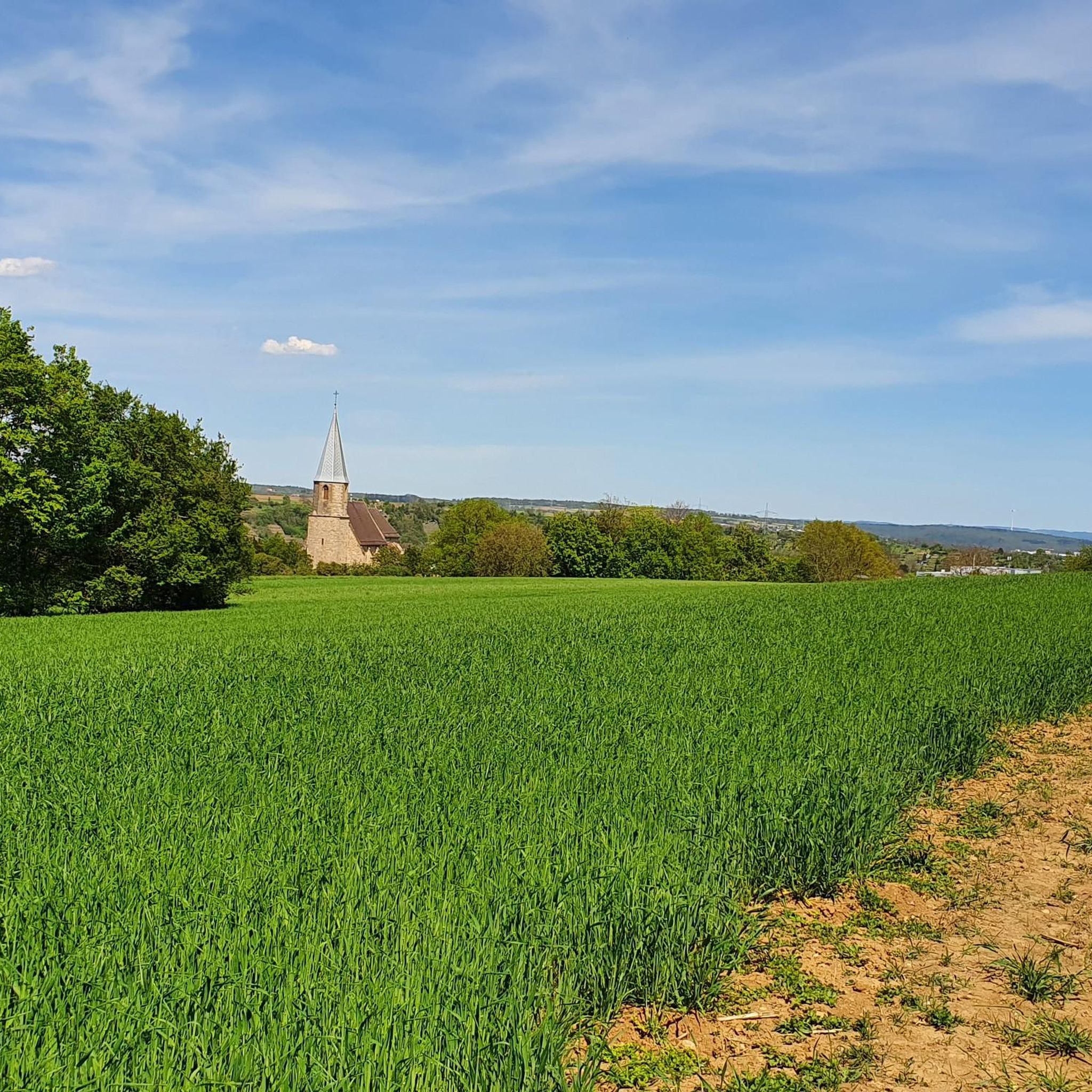
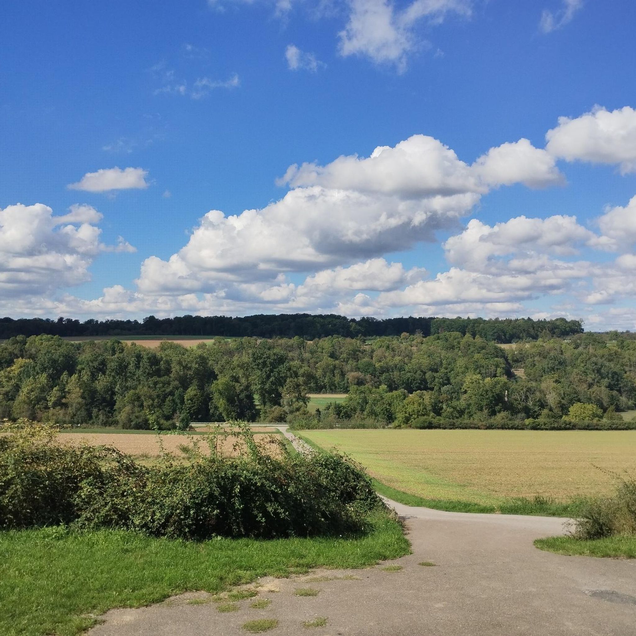
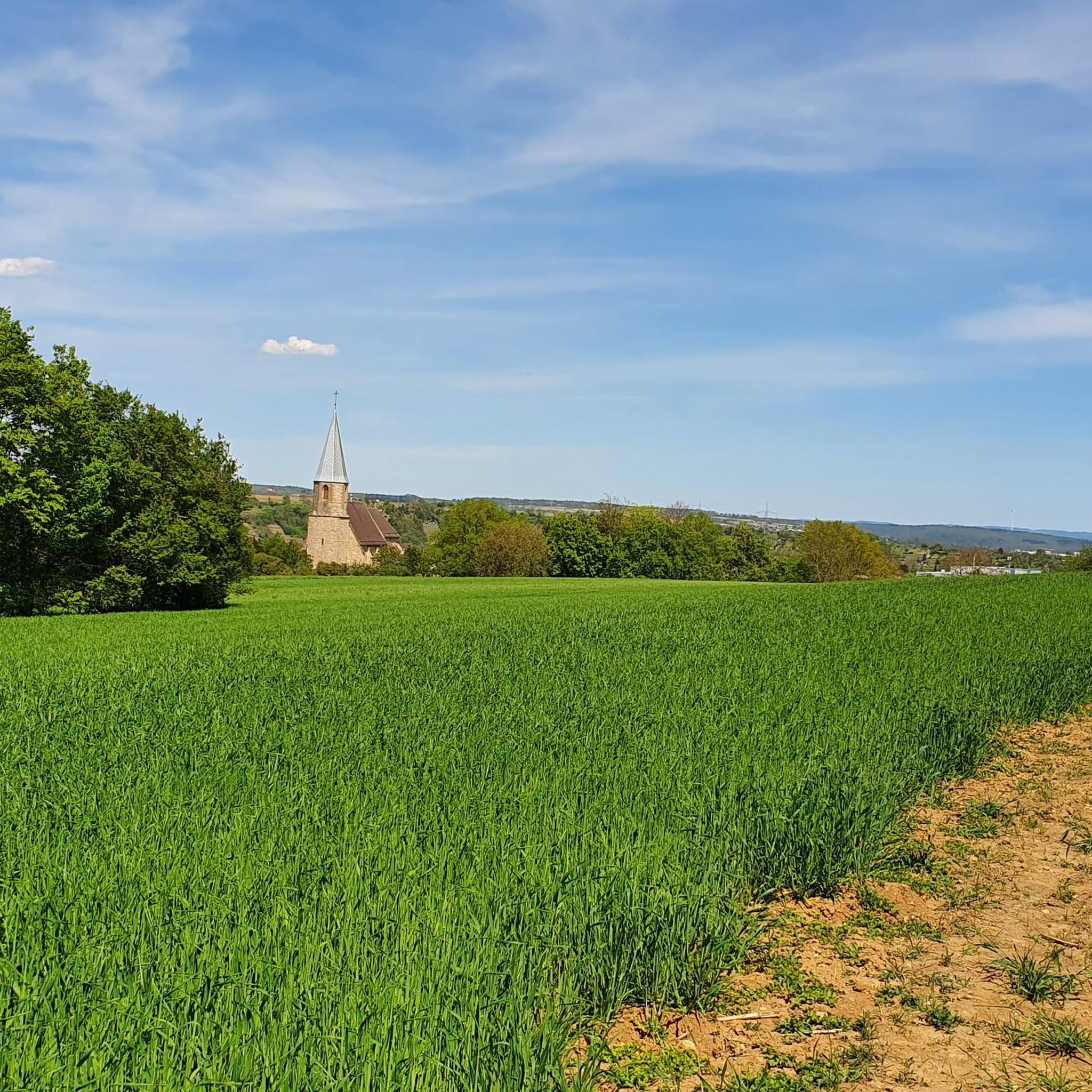
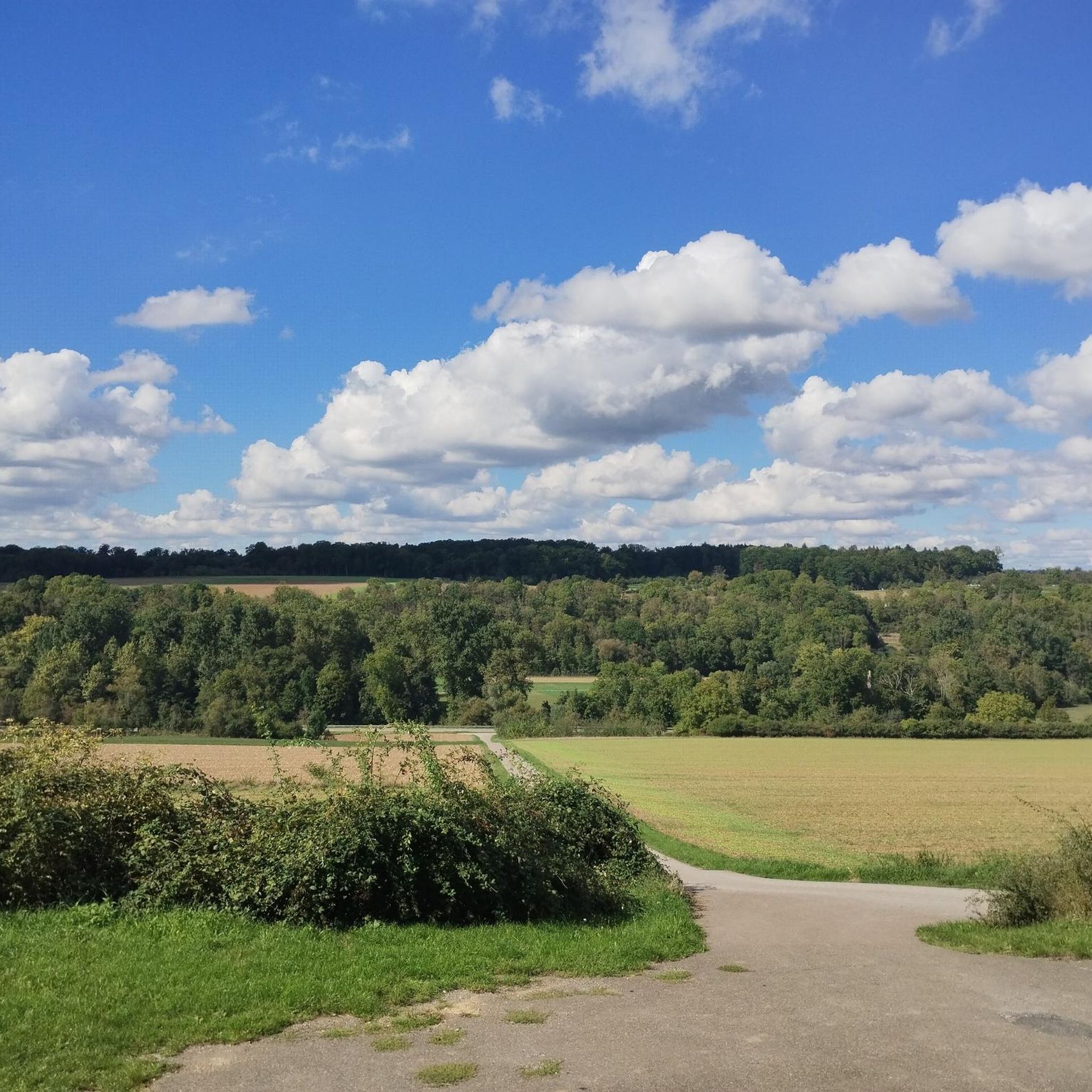
From the "Panoramaweg" above the Leudelsbachtal valley, you will inevitably always have "views into the Leudelsbachtal"
0
0

The tower spire impressively enlivens the mighty structure. The simple half-timbering is striking due to its ornamental clarity. The half-timbering is decorated with diamond motifs and curved bands. Fachwerkstock and gable floors of today's town hall were added in 1687 on the renovated walls of a wine press. This was already documented in 1541 and in turn formed the ground floor of a previous town hall. This predecessor building from the period 1590 - 1599 burned down – just like St. John's Church – in the Thirty Years' War (1643). The predecessor building was probably erected between 1590 and 1599. A partially preserved year number on the southern round arch portal supports this assumption. A wine press with two beams to be maintained by the Duke and a house above it has been documented since 1541. A "beam" is understood to be a long, horizontal piece of wood used to turn the spindle of the grape press. The building erected around 1590 was therefore already the successor to an earlier building that existed at this location. Information about the reconstruction in 1687 is provided by a wooden plaque above the main entrance. This inscription with the letters "SHSSR" and "BIW" suggests the then mayor Jakob Schmalzried and the then mayor Jakob Wetzel. The carpenter's tools depicted below and the designation "MW" indicate the carpenter, who is no longer known by name. The number "1687" indicates the year of construction. The offices were located densely packed above the wine press. Since 1728, they were accessible via an external staircase, which replaced a steep staircase inside. This staircase was removed in 1884. Until the renovation in 1956 and 1957, six oak columns supported the ceiling of the wine press floor. They were removed, and an intermediate ceiling and a curved internal staircase were installed. This created a new intermediate floor with offices, which is externally recognizable by the newly added row of windows. Since the municipal reform in 1975, the Münchingen town hall has been the seat of the Münchingen administrative office. The citizen service, the Münchingen registry office, and the Office for Family, Public Order, and Real Estate are now housed here and in the neighboring Widdumhof. https://youtu.be/xut_zU_pfDw?si=HtF7LyMTL2zyrDrF
0
0

Frequently Asked Questions
How many gravel bike trails are available around Muckenschupf?
There are over 200 gravel bike trails in the Muckenschupf area, offering a wide range of options for cyclists. This includes 22 easy routes, 97 moderate routes, and 90 difficult routes, ensuring there's something for every skill level.
What kind of terrain can I expect on gravel bike trails in Muckenschupf?
The Muckenschupf region offers varied landscapes, characterized by a mix of river valleys, dense forests, and rolling terrain. You'll find well-maintained trails suitable for off-road cycling, providing opportunities for both challenging climbs and scenic descents, often along natural features like the Leudelsbach Valley and the Neckar River.
What do other cyclists say about gravel biking in Muckenschupf?
The gravel biking routes in Muckenschupf are highly rated by the komoot community, with an average score of 4.6 stars from over 250 reviews. More than 1500 gravel bikers have used komoot to explore the area's varied terrain, often praising the diverse environments and well-maintained paths.
Are there any family-friendly gravel bike trails in Muckenschupf?
While many routes offer varied terrain, the region does have easier options. For a moderate ride that could be suitable for families with some cycling experience, consider the Leudelsbach Valley Trail – Mill Footbridge, Besigheim loop from Leudelsbachtal. It's 25.6 miles (41.3 km) and follows the valley with a mix of riverside and forest sections.
Are there any circular gravel bike routes in the Muckenschupf area?
Yes, many of the gravel bike trails around Muckenschupf are designed as loops. For example, the Enz Bridge – Enz Riverside Forest Trail loop from Sersheim is a moderate 19.4 miles (31.3 km) route that offers a pleasant circular experience through riverside and forest paths.
What are some notable landmarks or natural features I can see along the gravel bike trails?
The Muckenschupf area is rich in both natural beauty and historical sites. Along your rides, you might encounter the Heide im Siegental Nature Monument, or historical points of interest such as the Concentration Camp Cemetery Unterriexingen and the WWII watchtower foundation (Neckar‑Enz Line, Unterriexingen). A route like the Blankenhorn Castle Ruins – Viewpoint at Weißer Steinbruch loop from Sachsenheim specifically leads through varied terrain with historical viewpoints.
Are there any challenging gravel bike routes for experienced riders?
Absolutely. For experienced gravel bikers seeking a challenge, routes with significant elevation changes are available. The Neckar Cycle Path – Mill Footbridge, Besigheim loop from Markgröningen is a difficult 33.2 miles (53.4 km) path that includes sections along the Neckar River and features considerable climbing.
What is the best time of year to go gravel biking in Muckenschupf?
While specific seasonal data isn't available, general gravel biking conditions are best during spring, summer, and early autumn. These seasons typically offer more stable weather, drier trails, and pleasant temperatures for exploring the region's river valleys, forests, and rolling terrain.
Are there any long-distance gravel bike routes in the Muckenschupf region?
Yes, there are several longer routes for those looking to spend more time on the trails. The View of Schlossberg Tower – View of Sternenfels Castle loop from Sersheim is a difficult route spanning 36.9 miles (59.4 km), offering an extended ride through diverse landscapes.
Can I find routes with scenic viewpoints in Muckenschupf?
Many routes in the Muckenschupf area offer picturesque views, especially those traversing rolling terrain or along river valleys. The Blankenhorn Castle Ruins – Viewpoint at Weißer Steinbruch loop from Sachsenheim is a prime example, specifically highlighting historical viewpoints along its path.
Most popular routes around Muckenschupf
Most popular attractions around Muckenschupf

Get inspired with the komoot mobile app


Explore more
Browse the best Gravel rides in other regions.
