The best gravel rides around Niendorfer Gehege
4.4
(1741)
7,545
riders
120
rides
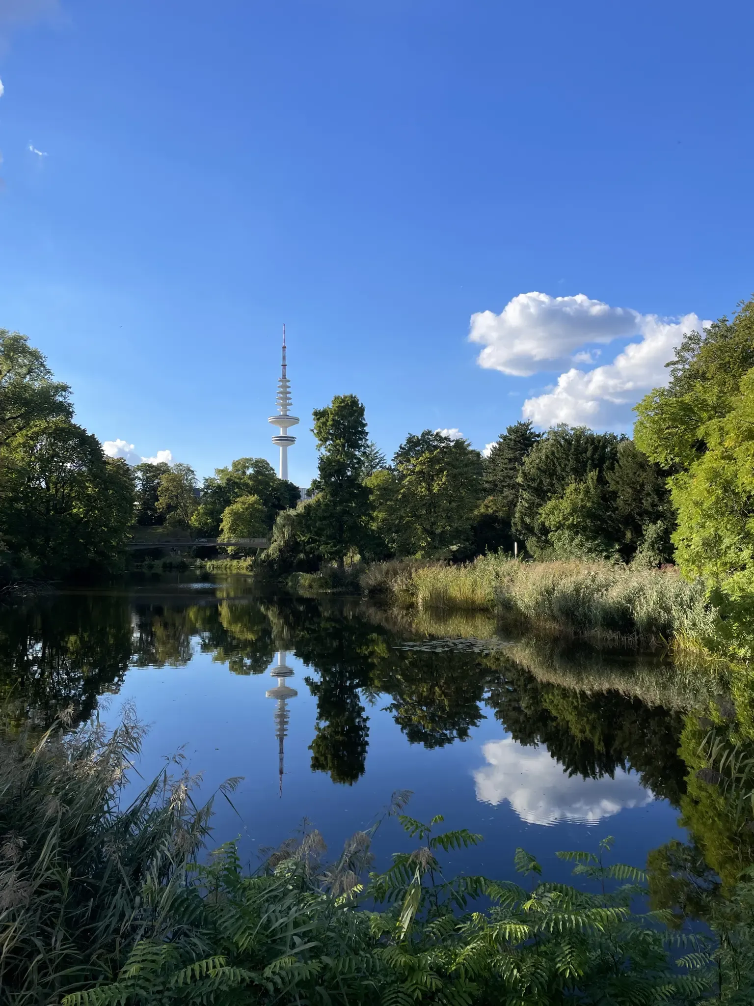
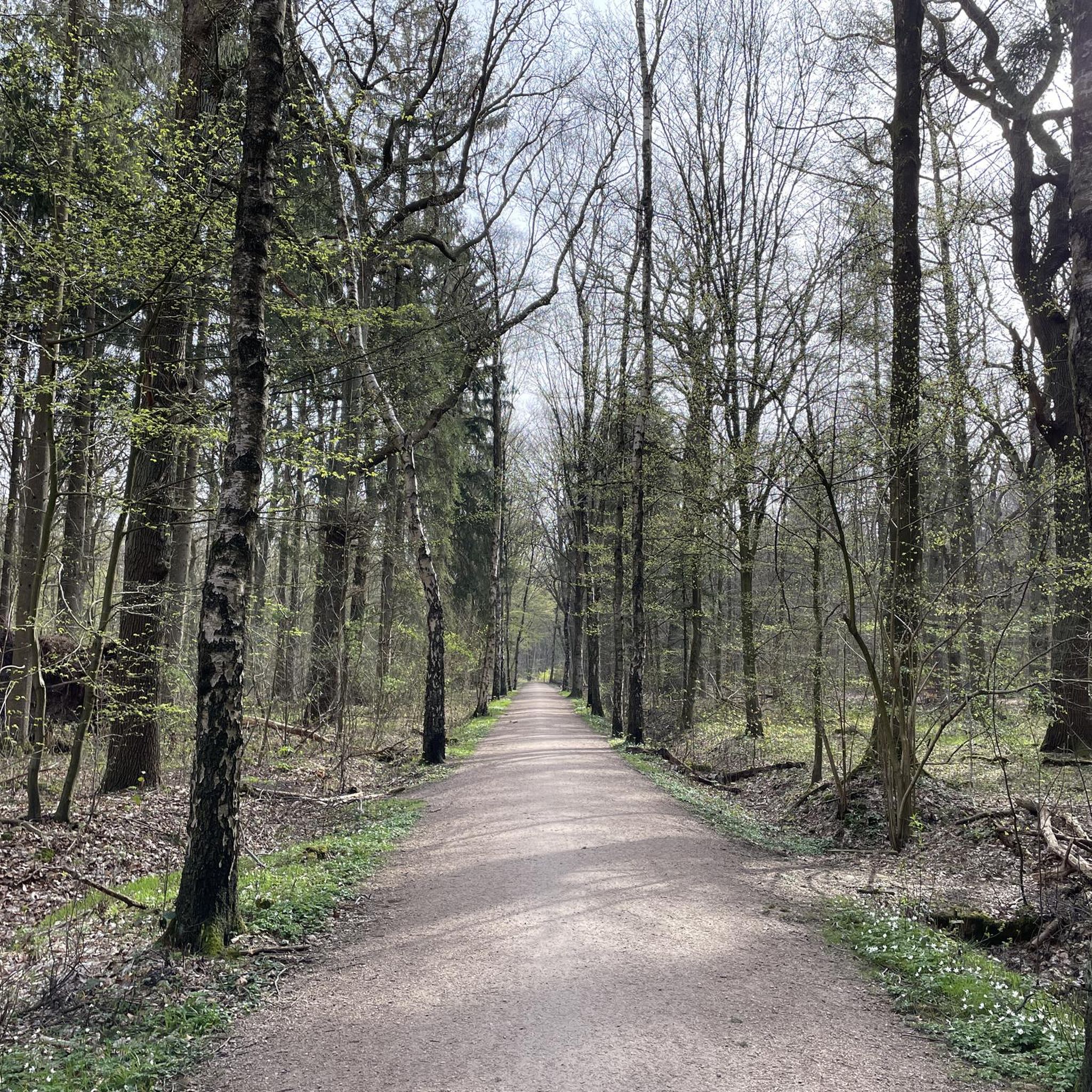
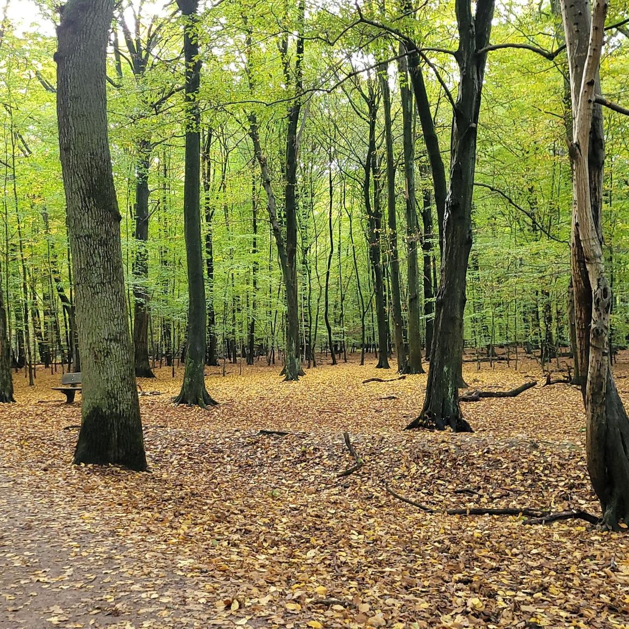
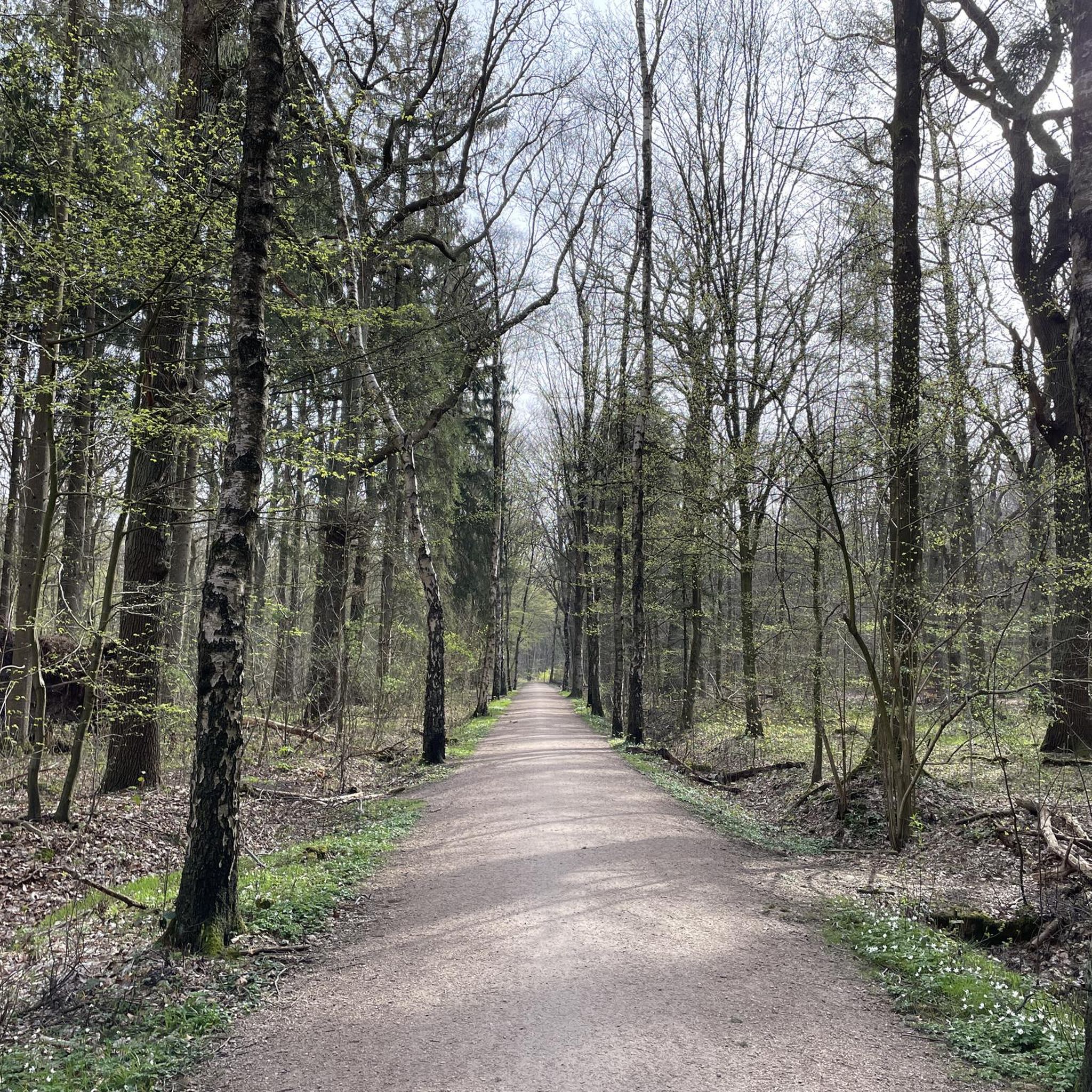
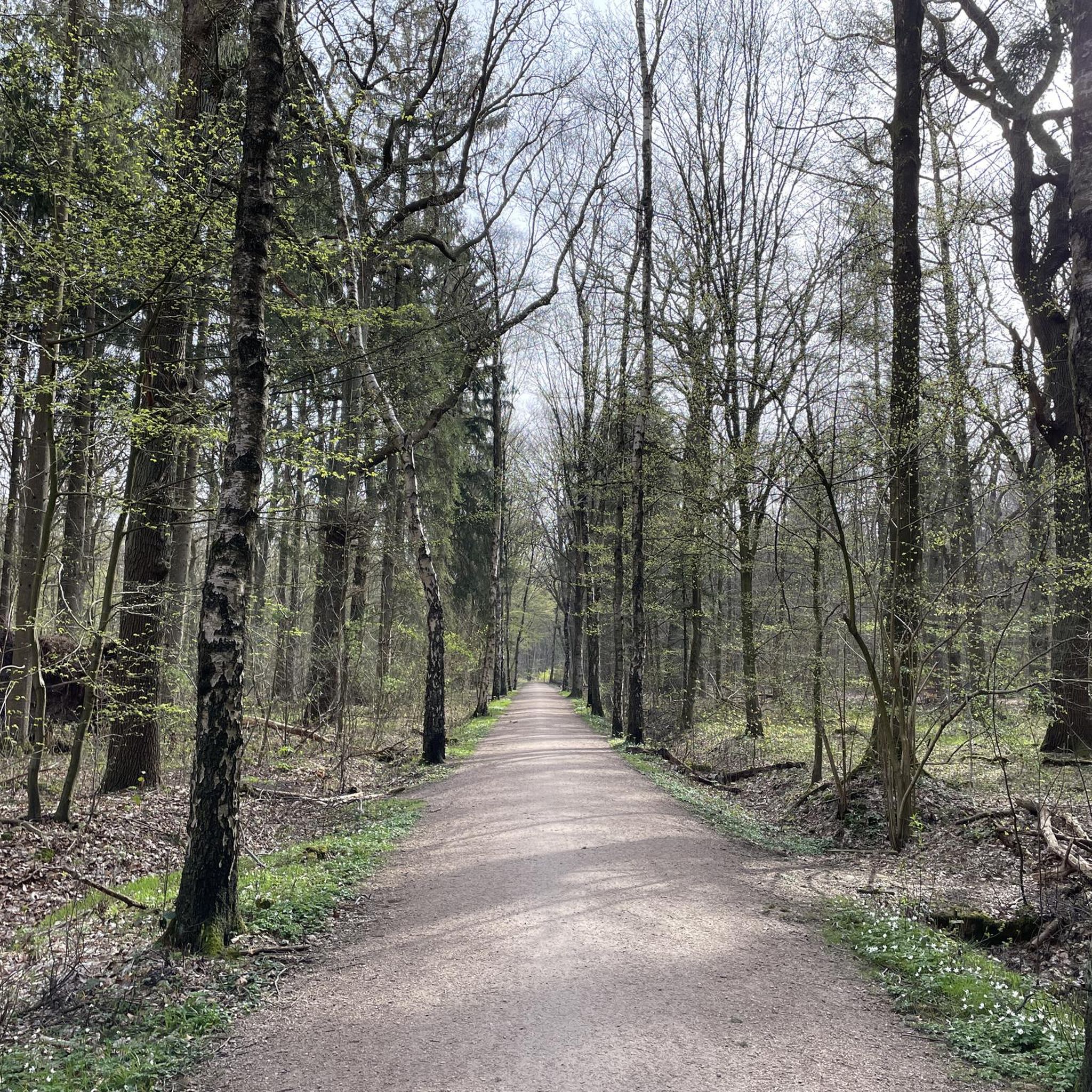
Gravel biking around Niendorfer Gehege offers a diverse landscape within northern Hamburg, characterized by a sprawling 150-hectare wooded area. The terrain features ancient trees, including beech, spruce, and oak, alongside the meandering Kollau stream. This area provides a mix of surfaces, with both paved and unpaved sections, making it well-suited for gravel bikes. Open clearings within the forest add to the varied environment for riders.
Best gravel bike trails around Niendorfer Gehege
- The most popular gravel bike trail is Kupferteich…
Last updated: July 3, 2026
5.0
(1)
25
riders
Moderate gravel ride. Good fitness required. Mostly paved surfaces. Suitable for all skill levels.
6
riders
88.7km
04:47
270m
270m
Hard gravel ride. Good fitness required. You may need to push your bike for some segments of this route.

Sign up for free
4.6
(57)
202
riders
Easy gravel ride. Great for any fitness level. Mostly paved surfaces. Suitable for all skill levels.
4.0
(6)
40
riders
53.1km
03:04
170m
170m
Moderate gravel ride. Good fitness required. Mostly paved surfaces. Suitable for all skill levels.
4.5
(11)
22
riders
Easy gravel ride. Great for any fitness level. Mostly paved surfaces. Suitable for all skill levels.
Get access to more routes and recommendations from other explorers.
Sign up for free
Already have an account?
Our route recommendations are based on thousands of hikes, rides, and runs completed by other people on komoot.
Start today with a free account
Your next adventure awaits.
Login or Signup
Other adventures around Niendorfer Gehege

Tips from the Community

Als ich vor ein paar Wochen bei herrlichstem, sonnigen Winterwetter von Ochsenzoll entlang der Tarpenbek bis nach Hamburg-Eppendorf gewandert bin, kam der Gedanke auf, doch auch mal wieder entlang ihres Nachbarflüsschens, der „Kollau“ zu wandern. Vor Jahren war ich hier schon einmal, auf einer Wanderung vom nördlich gelegenen Ohemoor bei Norderstedt bis zum Niendorfer Gehege im Hamburger Westen, unterwegs. Lange her. Nun ja, gesagt, getan: Ein paar Wochenenden später begab ich mich auf den Weg, genauer gesagt den „Kollauwanderweg„. Leider war das Wetter nicht ganz so strahlend schön, wie Ende Januar an der Tarpenbek. Aber, immerhin, es war trocken. Hamburger Winter eben. Zum Startpunkt der Wanderung gelangte ich unkompliziert mit der U-Bahn U2 bis Niendorf-Nord, der nördlichen Endhaltestelle der Linie. Dort angekommen, hieß es dann erstmal den richtigen Weg in Richtung Westen durch das (anfangs etwas triste) Wohngebiet zu finden (dafür nutzt Du am besten meinen GPX-Track unten). Irgendwann aber erreichte ich den westlichen Rand desselben, an dem ich auf einen schmalen Wanderweg, nämlich den „Kollauwanderweg“ stieß. Diesem galt es ab nun in Richtung Süden zu folgen. Ich überquerte den „Vielohweg“ und weiter ging es geradeaus. Neben dem Weg tauchte hier ein erster Bach auf, allerdings war dies noch nicht die Kollau sondern der noch schmalere „Vielohgraben“. Entlang von Feldern und Wiesen zur rechten Hand und des Baum-gesäumten Grabens links wanderte ich voran. Aus der Ferne war das Rauschen der Autobahn A7 zu hören, die westlich von hier verlief. Ob man dieses beständige Rauschen wohl auch noch „wegdeckeln“ könnte? Na, am zugewachsenen Rückhaltebecken stieß ich dann endlich auf die schmale Kollau, deren Verlauf ich von nun an weiter folgen wollte. Der Kollauwanderweg ist bestens ausgebaut und gut zu gehen Der Frühling hatte vor diesem letzten Wandertag im Februar schon einmal herzlich vorbeigeschaut, hatte warmes Wetter und Sonnenschein nach Hamburg gebracht. Dann war ihm allerdings die – vom Winter noch geschwächte – Kondition eingebrochen und er zog sich für einen neuen Anlauf erstmal wieder (nach Süden?) zurück. 💡 Übrigens: Die Kollau ist nur etwa 8 km lang und entspringt in Hamburg-Schnelsen, also im Nordwesten der Hansestadt, um zwischen Lokstedt und Groß Borstel in die aus Norderstedt herbeifließende Tarpenbek zu münden – siehe Text. So kam es, dass die Natur an der Kollau an diesem Spätwintertag eher bräunlich-trist und ruhend vor mir lag, der Himmel in einheitlichem Mausgrau. Das Flüsschen gurgelte unmotiviert und flach vor sich hin. Dennoch waren erste Frühlingsboten an seinem Ufer – selbst für die größten Frühjahrsmuffel – nicht zu übersehen! Vorbei an unzähligen Kleingärten und Eigenheimsiedlungen, in denen vereinzelt schon kräftig gegärtnert wurde, führte mich der Weg weiter südwestwärts. Es ging vorbei am Pony-Reitweg des Ponyhofes am Niendorfer Gehege und der gleichnamigen Feldmark. Hier wechselt der Weg auf die rechte Seite der Kollau hinüber. An wärmeren Tagen lässt sich auf einer der Bänke an diesem Wegabschnitt bestimmt gut rasten, mir war nicht so sehr danach, brr… An der Kollau wandern, hier westlich des Niendorfer Geheges Minikirche in einem der Gärten am Kollauwanderweg Um das Niendorfer Gehege herum Der gut zu gehende Kollauwanderweg machte bald, artig dem Verlauf der Kollau folgend, einen Bogen ostwärts. Denn das Flüsschen drängte hier, südlich des Niendorfer Geheges, ebenfalls nach Osten. Entlang der „Güterumgehungsbahnlinie“ (what a word!) schritt ich nun schnurgerade ebenfalls in diese Richtung. Am dortigen Flussabschnitt hatte die Stadt Hamburg wohl kürzlich erst umfangreiche „Renaturierungsarbeiten“ an der Kollau vornehmen lassen, was es, ob der jahreszeitbedingt noch fehlenden Frühjahrsdekoration, leider etwas künstlich erschienen ließ. Später im Jahr, mit frischem Bewuchs sieht das hier bestimmt ganz wunderbar aus! Ich unterquerte die „Kollaustraße“, um mich schließlich kurz darauf von der Kollau auch schon wieder zu verabschieden. Denn ich war auf meiner Wanderung an den Zusammenfluss von Kollau und Tarpenbek gelangt! Wer hier allerdings an brodelnde, schäumende, um die Vormacht streitende Fluten denkt, wird bei dieser Flusshochzeit enttäuscht sein. Völlig unaufgeregt fließen beide Flüsschen hier auf der Grenze zwischen Lokstedt und Groß Borstel ineinander… Die (unspektakuläre) Flusshochzeit von Kollau (links) und Tarpenbek (rechts) in Hamburg Lokstedt Die (unspektakuläre) Flusshochzeit von Kollau (links) und Tarpenbek (rechts) in Hamburg Lokstedt Wo Kollau und Tarpenbek verschmelzen Der letzte Abschnitt der Wanderung führte mich jetzt entlang der Tarpenbek und städtischer Siedlungen zunächst ostwärts, um dann hinter der Straßen-Unterquerung an der „Deelböge“ südwärts zu schwenken. Ich unterquerte das imposante Viadukt der eben schon erwähnten Güterumgehungsbahn und ging dahinter am östlichen Ufer des „Eppendorfer Mühlenteichs“ entlang. An diesem liegt übrigens das Winterquartier der Alsterschwäne, er wird für sie sogar künstlich eisfrei gehalten. Bei „Barmeier`s Garten Café“ an der „Meenkwiese“ überquerte ich schließlich die Mündung der Tarpenbek in die Alster, um dahinter noch durch den belebten „Haynspark“ mit seinem gelben Monopteros (der runde „Mini-Tempel) zu schlendern. Diesmal, Ende Februar, waren hier auf der Alster keine SUPs zu sehen, einen Monat vorher, Ende Januar (!), schon. Verrückte Zeiten. An der Mündung der Tarpenbek in die Alster in Hamburg-Eppendorf - gegenüber der Haynspark mit dem Monopteros. An der Mündung der Tarpenbek in die Alster in Hamburg-Eppendorf – gegenüber der Haynspark mit dem Monopteros Ich überwand schließlich die laute Bundesstraße B5 und schwenkte ein in die Kellinghusenstraße, das Ziel meiner Wanderung an der Kollau im Blick, die gleichnamige U-Bahn-Station (U1/U3/HVV-Busse). Das nächste Mal komme ich im Sommer wieder. Mein Fazit Eine gut zu gehende, unkomplizierte Wanderung an der Kollau von Hamburg-Niendorf nach Eppendorf, wobei zu dieser Jahreszeit eindeutig das „wandern an sich“ das eigentliche Ziel war. Wandert man hier im Sommerhalbjahr, präsentiert sich der Kollauwanderweg deutlich grüner und lebendiger, zahlreiche Bänke oder Wiesen laden zur Rast ein. Ausprobieren! Schwierigkeit: leicht, für geübte Wanderer Länge: ca. 12 km Gehzeit: ca. 2,5 h Höhenmeter: + 10 m, – 20 m An-/Abreise: z.B. per U-Bahnlinie U2 bis „Niendorf Nord“ und ab „Kellinghusenstraße“ mit U1/U3 oder HVV-Buslinien Ausrüstung: keine besonderen Anforderungen
0
0
Since districts like Niendorf and Fuhlsbüttel are directly adjacent to the airport grounds, Hamburg Airport is by no means "out of the way": Hamburg Airport is very easily accessible by S-Bahn, car or bicycle. Another central hub for planespotting in Hamburg is the Airbus factory in Finkenwerder. Planespotting Hamburg Airport is very popular with many planespotters, as the airport grounds in Fuhlsbüttel can be walked around, in many parts even directly along the runway. Along the grounds, there are several opportunities to observe and photograph the planes. Coffee to Fly Holtkoppel 100, 22415 Hamburg | Mon-Sun 9:00 AM - 11:00 PM The so-called "Affenfelsen" (Monkey Rock) is a popular meeting point for aircraft fans. Coffee to Fly is located directly on the airport grounds and offers an unobstructed view of runways 15 and 33. The taxiway also leads directly past the onlookers. Physical well-being is also taken care of. In addition to hot and cold drinks, breakfast and Italian ice cream are also offered here. Viewing Terraces The best view of the apron and parked aircraft is naturally offered by the visitor terraces at both terminals and the model exhibition. Here you can observe the handling of aircraft and, in good weather, enjoy a coffee or other gastronomic delicacies in the sun. Access is signposted. Bayernweg Just under a kilometer from the Krohnstiegtunnel is the Bayernweg. If you walk a short distance along the hiking trail, you soon reach a hill from which you can look out over the airport above the trees and fence. The Bayernweg is located on the opposite side of the "Affenfelsen". Engernweg The Engernweg is located on a cycle path that offers a direct view of runway 05. Once you have found the clear spot by the fence, you can see planes taking off in the air or when they have already landed. The nearest subway station is Niendorf Markt. Flughafenstraße Shortly before arriving at the airport, you drive over the bridge on Flughafenstraße. Here, standing directly on the footpath and cycle path, you can observe and photograph arriving aircraft on runway 23. The morning hours and early afternoon are recommended here due to the optimal lighting conditions. Garstedter Eck Very close to the Bayernweg, namely 950 meters further north, is the Garstedter Eck. Planespotters stand here directly on the Krohnstiegtunnel (west) and photograph landing aircraft on runway 15 and taking-off aircraft on runway 33. The best shots can be taken from midday onwards. However, bringing a step or a small ladder is recommended, as otherwise you won't be high enough. Café Himmelsschreiber Weg beim Jäger, 22335 Hamburg | Mon-Sun 10:00 AM - 9:00 PM The Café Himmelsschreiber at the General Aviation Terminal (GAT) offers a view of the apron of Hamburg Airport. You can best see the planes taking off on runway 33 here. Since the lighting conditions are perfect from midday to early evening, you should take the opportunity to sit in one of the cozy beach chairs on the terrace – preferably with a piece of cake, a cup of coffee, and your camera at the ready. Krohnstiegtunnel (east) Similar to Garstedter Eck, here you stand on the Krohnstiegtunnel – at the eastern end. With the help of a small ladder, runway 15 can be viewed very well. The best pictures are taken here in the morning. Ostfalenweg From Ostfalenweg, you also have a good view of runways 15 and 33. It is only about 250 meters south of the Bayernweg. Since there is a small hill here, you are high enough to overlook everything. Sootbörn From the large Kollaustraße in Niendorf, a side street leads to the Sootbörn planespotting point. From the late afternoon onwards, takeoffs and landings on runway 05 can be observed well here. There are park benches on a small hill, so you can also sit down. Weg beim Jäger The P9 parking garage is located on Weg beim Jäger. From the top level, you can see the entire airport apron and also runway 33. Photographers appreciate the good lighting conditions from midday to evening.
0
0

Beautiful trail, easy to ride. Especially recommended in summer temperatures, as you ride a lot in the shade of the trees.
0
0

The section along the runway is part of the Green Ring and an absolute must for gravel bikes. But be careful, there are a lot of people around here... Always be ready to brake.
1
0
Overall, it's a bit monotonous and boring to ride. However, it's perfectly fine as a change of pace between trails or gravel roads.
0
0

Great view of the airport ✈️ Hamburg Airport on approach. Exciting and thrilling at the same time.
4
0

A quiet stretch of road with lots of nature
0
0

The Kupferteich (Copper Pond) on the border of the Hamburg districts of Poppenbüttel and Lemsahl-Mellingstedt was originally a mill pond and served as a copper mill. It is easily circumnavigated by bike or on foot. It was created by damming the Mellingbek and Twelenbek rivers, which flow from the Wittmoor and join in front of the pond, to a height of approximately 900 meters. In the mill at the Kupferteich, a copper hammer was used to produce panels for roofs, ship floors, and boilers for sugar refineries. Remains of fish ponds can be found at the northern end of the Kupferteich. In the mid-19th century, the Kupferteich became a sawmill, later an oil mill, after which the facility fell into disuse. Due to its dilapidated condition, it was demolished in 1929. The Kupferteich is now an approximately 7.0-hectare fishing lake, and since 2019, it, including its shoreline, has been designated a specially protected biotope area under the Federal Nature Conservation Act. A golf course has stretched east and west of the Kupferteich since the 21st century. There is a dog walking area on the western shore of the pond. Access to the Kupferteich is via the 1.5 km long Kupferteichweg, a road that leads to a sandy path leading to the pond. https://de.wikipedia.org/wiki/Kupferteich_(Mellingbek)
3
1
Frequently Asked Questions
What kind of terrain can I expect on gravel bike trails in Niendorfer Gehege?
Niendorfer Gehege offers a varied landscape with a mix of surfaces. You'll find both paved and unpaved sections, including natural forest paths and forest roads. This diverse terrain, from dense woodland to open clearings, makes it well-suited for gravel bikes, allowing you to explore deeper into the natural environment.
How many gravel bike trails are available in the Niendorfer Gehege area?
There are over 220 gravel bike trails available around Niendorfer Gehege. These routes cater to various skill levels, with approximately 76 easy, 91 moderate, and 54 difficult options to choose from.
Are there any family-friendly gravel biking options in Niendorfer Gehege?
Yes, Niendorfer Gehege is a great place for families. The area features forest playgrounds and pony rides, which can be integrated into a family outing. While specific 'family-friendly' routes aren't explicitly categorized, many of the easy and moderate trails are suitable for a relaxed ride with children, especially those with some biking experience. The tranquil atmosphere and natural attractions like the Fallow Deer Enclosure add to the family appeal.
What are some interesting landmarks or natural features to see along the gravel bike trails?
As you cycle through Niendorfer Gehege, you can encounter several points of interest. A popular spot is the Fallow Deer Enclosure, where you might spot deer, hares, and foxes. The meandering Kollau stream flows through the Gehege, and you'll ride among ancient trees, some up to 200 years old. The Kollau Trail itself is a notable feature.
Are there any circular gravel bike routes in Niendorfer Gehege?
Yes, many of the gravel bike trails in Niendorfer Gehege are designed as loops. For example, the Kollau Bridge Crossing – Buttermoor Trail loop from Hagendeel offers a moderate 47.7 km ride, and the challenging Lily Pond in the Henstedter Moor – Wohldorfer Forest loop from Hagendeel covers 88.3 km, providing extensive circular options.
What is the general difficulty level of gravel biking in Niendorfer Gehege?
The trails in Niendorfer Gehege offer a range of difficulty levels. You'll find easy loops perfect for a leisurely ride, as well as more challenging routes with unpaved sections that require good fitness. Overall, the area provides options for beginners and experienced gravel bikers alike.
Is Niendorfer Gehege accessible by public transport?
Yes, Niendorfer Gehege is well-connected by public transportation, making it a convenient starting point for your gravel biking adventures. You can easily reach the area without needing a car.
Are there places to get refreshments or food within or near the Gehege?
Yes, the Waldcafe Corell is situated within Niendorfer Gehege, offering a convenient spot for refreshments and a break during your ride. There are also various cafes and pubs in the surrounding Niendorf district of Hamburg.
What do other gravel bikers say about their experience in Niendorfer Gehege?
The routes in Niendorfer Gehege are highly rated by the komoot community, with an average score of 4.4 stars from over 1,600 reviews. Riders often praise the tranquil and beautiful atmosphere, the diverse landscapes, and the natural escape it provides from the city bustle, making it a peaceful retreat to enjoy the forest air.
What types of trees and natural environments will I encounter while gravel biking here?
Niendorfer Gehege is characterized by a rich forest environment. You'll cycle among ancient trees, including impressive beech, spruce, and oak, some of which are up to 200 years old. The landscape also features open clearings and the meandering Kollau stream, creating a dynamic and scenic backdrop for your ride.
Are there any specific rules or permits required for gravel biking in Niendorfer Gehege?
Niendorfer Gehege is a public recreation area. Generally, no specific permits are required for cycling on designated paths. However, it's always advisable to respect local regulations, stay on marked trails, and be mindful of other visitors, including pedestrians and equestrians, to preserve the tranquil atmosphere of the park.
Most popular routes around Niendorfer Gehege
Most popular attractions around Niendorfer Gehege

Get inspired with the komoot mobile app


Explore more
Browse the best Gravel rides in other regions.
