The best gravel rides around Rantenhorst
4.5
(7)
23
riders
5
rides
Gravel biking around Rantenhorst offers a network of routes through a landscape characterized by gentle elevations and a mix of natural and historical features. The area's gravel bike trails often pass by moated castles, water castles, and canal bridges, suggesting a blend of cultural landmarks and natural pathways. The terrain is generally accessible, with routes featuring moderate climbs and descents. This region provides varied unpaved paths suitable for gravel cycling.
Best gravel bike trails around Rantenhorst
- The most popular gravel bike trail is Flechtingen Moated Castle – Bülstringen Canal Bridge loop from Flechtingen, a 29.1 miles (46.9 km) trail that takes 3 hours 19 minutes to complete, featuring historical sites and canal-side riding.
- Another top favourite among local gravel bikers is Flechtingen Moated Castle – Flechtingen Water Castle loop from Flechtingen, a moderate 25.4 miles (40.9 km) path. This route offers views of two distinct castle types and varied terrain.
- Local gravel bikers also love the Kirchenweg – Flechtingen Moated Castle loop from Flechtingen, a 16.1 miles (26.0 km) trail leading through pathways connecting historical points, often completed in about 2 hours 10 minutes.
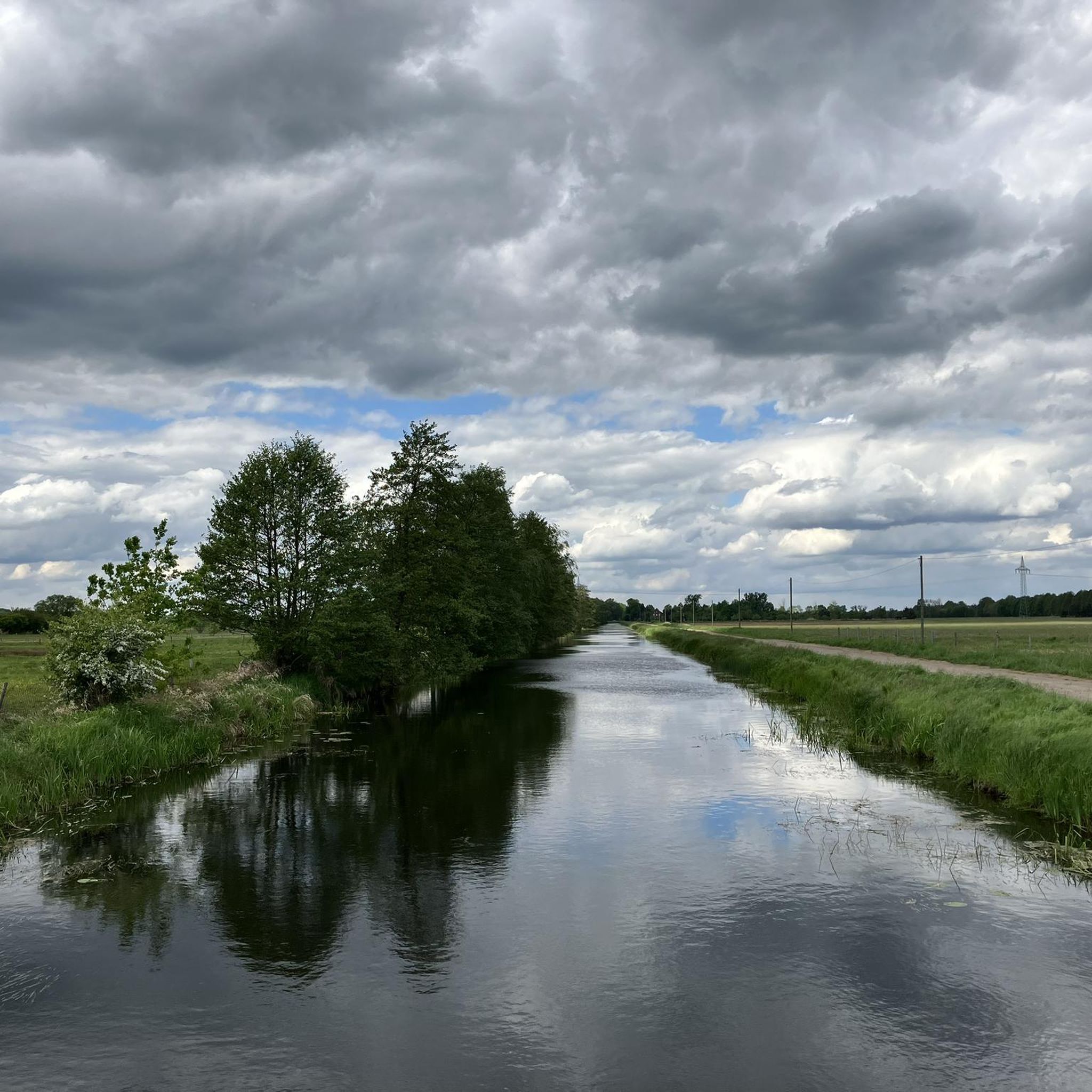
- Gravel biking around Rantenhorst is defined by routes connecting moated castles, water castles, and canal bridges, often traversing tree-lined pathways. The network offers options for different ability levels, from easy to moderate.
- The routes in Rantenhorst are highly rated by the komoot community with an average score of 4.5 stars from more than 5 reviews. More than 20 gravel bikers have used komoot to explore Rantenhorst's varied terrain.
Last updated: July 3, 2026
4.5
(2)
13
riders
Moderate gravel ride. Good fitness required. Mostly paved surfaces. Suitable for all skill levels.
4.0
(1)
2
riders
41.3km
02:20
160m
160m
Moderate gravel ride. Good fitness required. Mostly paved surfaces. Suitable for all skill levels.

Sign up for free
5.0
(1)
3
riders
40.9km
02:20
250m
250m
Moderate gravel ride. Good fitness required. Mostly paved surfaces. Suitable for all skill levels.
5.0
(2)
2
riders
26.0km
01:27
120m
120m
Easy gravel ride. Great for any fitness level. Mostly paved surfaces. Suitable for all skill levels.
1
riders
Easy gravel ride. Great for any fitness level. Mostly paved surfaces. Suitable for all skill levels.
Our route recommendations are based on thousands of hikes, rides, and runs completed by other people on komoot.
Start today with a free account
Your next adventure awaits.
Login or Signup
Tips from the Community

Vehicle traffic is allowed on the route, but rare.
0
0

Beautiful, historic castle 🏰 now a hotel 🏨 worth seeing 💯🔝👍🏻😉‼️
2
0

Excellent paved connecting road between Emden and Bebertal. No traffic on weekends.
0
0
Well-paved, traffic-free connecting road between Altenhausen and Emden
0
0

A historic place for a look past the castle
0
0

Very beautiful castle, with restaurant and sleeping facilities.
0
0

This is an exceptionally interesting facility
0
0

beautiful view of the lake and castle
0
0
Frequently Asked Questions
What kind of terrain can I expect on gravel bike trails around Rantenhorst?
The gravel bike trails around Rantenhorst feature gentle elevations and varied unpaved paths. You'll find a mix of natural routes and pathways that pass by historical sites like moated castles, water castles, and canal bridges. The terrain is generally accessible, with moderate climbs and descents.
How many gravel bike trails are available in the Rantenhorst area?
There are 5 gravel bike trails documented in the Rantenhorst area, offering a range of experiences for cyclists.
What are the typical distances and durations for gravel biking routes in Rantenhorst?
Routes vary in length and time. For example, the Flechtingen Moated Castle – Bülstringen Canal Bridge loop from Flechtingen is about 29.1 miles (46.9 km) and takes around 3 hours 19 minutes. Shorter options, like the Kirchenweg – Flechtingen Moated Castle loop from Flechtingen, are about 16.1 miles (26.0 km) and can be completed in approximately 2 hours 10 minutes.
Are there any easy gravel bike routes suitable for beginners in Rantenhorst?
Yes, there is one easy gravel bike route. The Shelter on Hiking Trail 1 – Wooden Shelter in Lübberitz loop from Born is classified as easy, covering 16.4 km (10.2 miles) with minimal elevation gain, making it a good option for those new to gravel biking or looking for a relaxed ride.
What historical sites or landmarks can I see along the gravel bike trails?
Many routes in Rantenhorst connect and pass by significant historical sites. You can expect to see moated castles, water castles, and canal bridges. For instance, the Flechtingen Moated Castle – Flechtingen Water Castle loop from Flechtingen offers views of two distinct castle types.
Are the gravel bike trails in Rantenhorst suitable for families?
The trails in Rantenhorst are generally accessible with easy to moderate difficulty levels and gentle elevations, making them suitable for families with some cycling experience. The Shelter on Hiking Trail 1 – Wooden Shelter in Lübberitz loop from Born is specifically rated as easy and could be a good starting point for families.
What do other gravel bikers say about the routes in Rantenhorst?
The komoot community highly rates the routes in Rantenhorst, with an average score of 4.5 stars from more than 5 reviews. Bikers often appreciate the varied terrain and the blend of cultural landmarks with natural pathways.
Are there any circular gravel bike routes in Rantenhorst?
Yes, all the listed gravel bike routes in Rantenhorst are circular. Examples include the Flechtingen Moated Castle – Bülstringen Canal Bridge loop from Flechtingen and the Flechtingen Moated Castle – Tree-Lined Pathway loop from Flechtingen, allowing you to start and end at the same point.
What is the overall difficulty level of gravel biking in Rantenhorst?
The gravel biking routes in Rantenhorst range from easy to moderate. There is one easy route and four moderate routes, meaning there are no highly difficult trails, making the area accessible for a wide range of skill levels.
Are there any routes that focus on tree-lined pathways?
Yes, the Flechtingen Moated Castle – Tree-Lined Pathway loop from Flechtingen is specifically highlighted for its tree-lined sections, offering a pleasant and shaded riding experience.
What kind of natural features can I expect to encounter on the trails?
The routes often traverse tree-lined pathways and areas with gentle elevations. While specific natural features like waterfalls are not mentioned, the landscape provides a blend of natural paths and historical surroundings.
Most popular routes around Rantenhorst

Get inspired with the komoot mobile app


Explore more
Browse the best Gravel rides in other regions.
