The best gravel rides around Böthchen
4.6
(8)
41
riders
19
rides
Gravel biking around Böthchen features a landscape characterized by river valleys, reservoirs, and dam systems, offering varied terrain for cyclists. The region includes a mix of rolling hills and established cycle paths, providing diverse riding experiences. This area is known for its water features and the surrounding natural environment, suitable for exploring on gravel bikes.
Best gravel bike trails around Böthchen
- The most popular gravel bike trail is Malter Dam – Klingenberg Forebay Dam loop from Malter, a 21.0…
Last updated: July 3, 2026
5.0
(1)
8
riders
33.8km
02:18
580m
580m
Hard gravel ride. Very good fitness required. Mostly paved surfaces. Suitable for all skill levels.
3.8
(4)
13
riders
38.5km
02:20
440m
440m
Moderate gravel ride. Good fitness required. Mostly paved surfaces. Suitable for all skill levels.

Sign up for free
5.0
(1)
7
riders
26.6km
01:37
380m
380m
Moderate gravel ride. Good fitness required. Mostly paved surfaces. Suitable for all skill levels.
5
riders
Hard gravel ride. Very good fitness required. Mostly paved surfaces. Suitable for all skill levels.
4.0
(1)
5
riders
38.2km
02:35
600m
600m
Hard gravel ride. Very good fitness required. Mostly paved surfaces. Suitable for all skill levels.
Get access to more routes and recommendations from other explorers.
Sign up for free
Already have an account?
Our route recommendations are based on thousands of hikes, rides, and runs completed by other people on komoot.
Start today with a free account
Your next adventure awaits.
Login or Signup
Tips from the Community

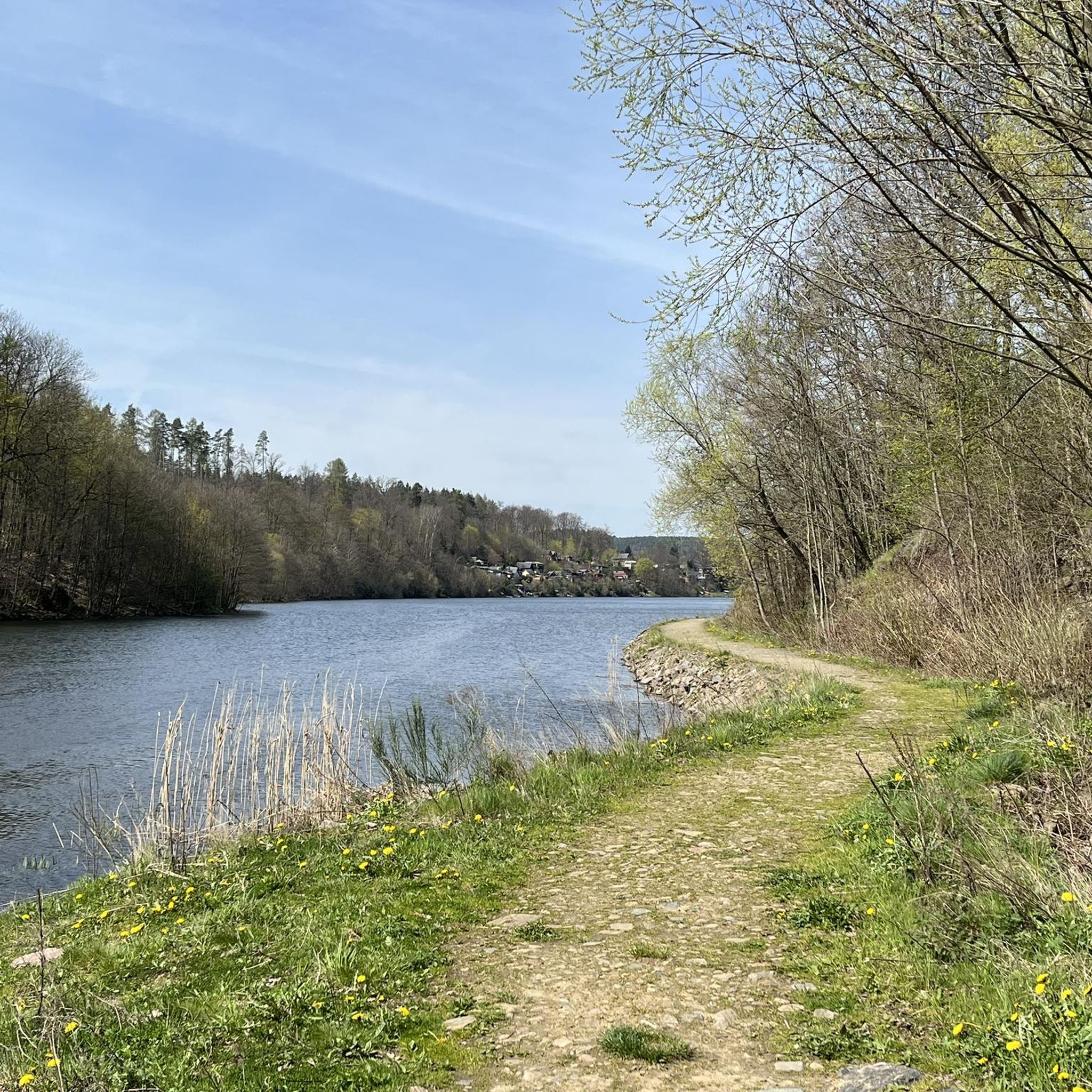
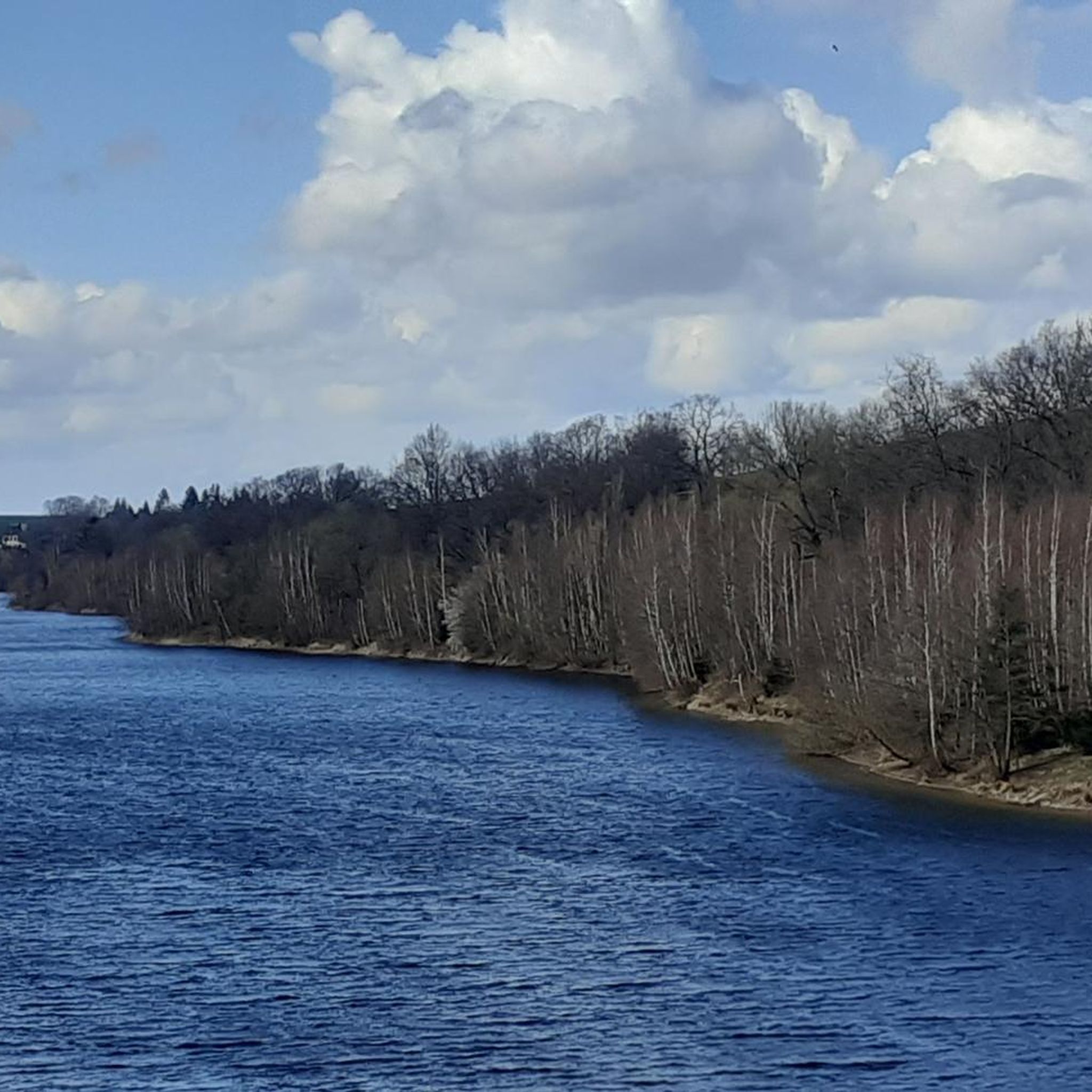
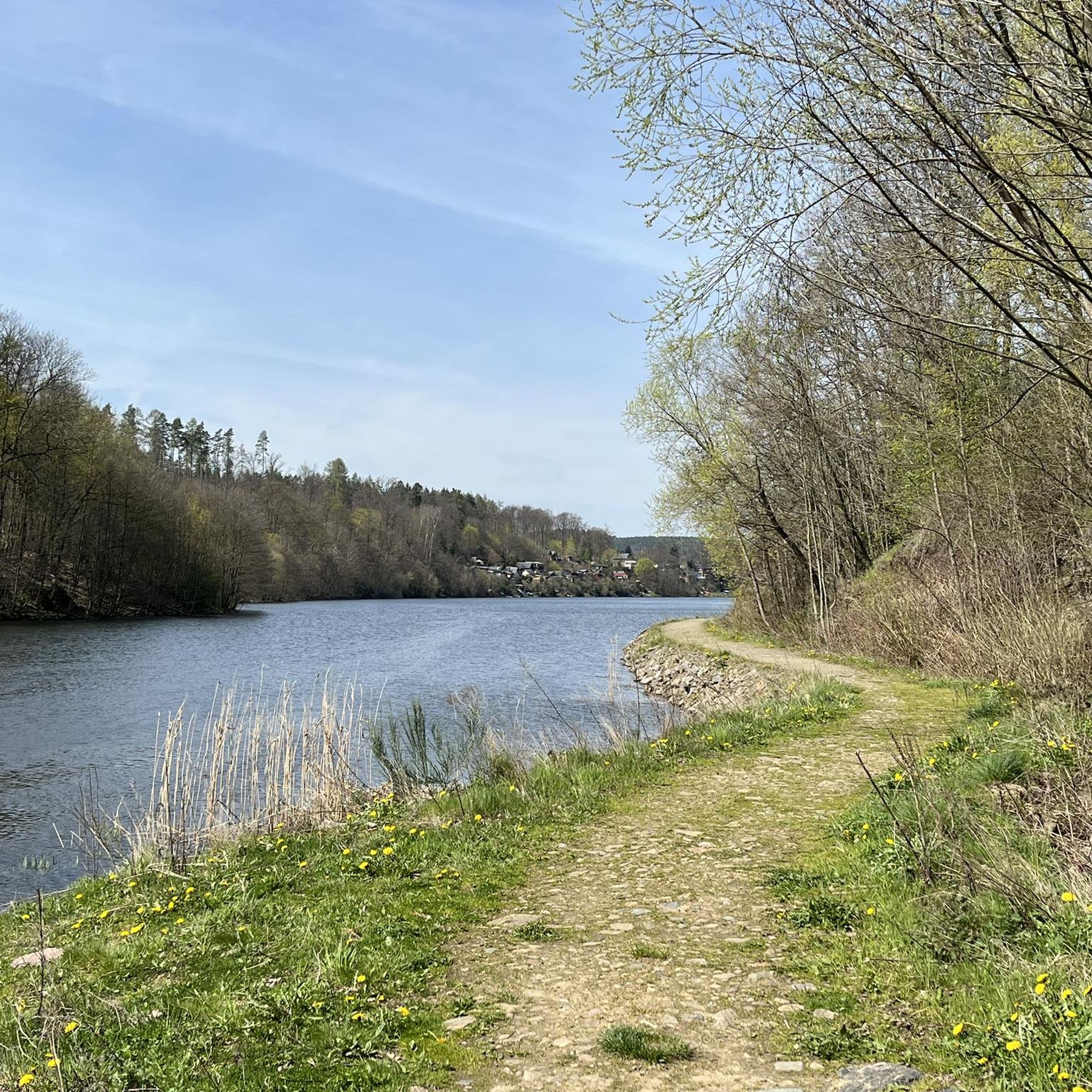
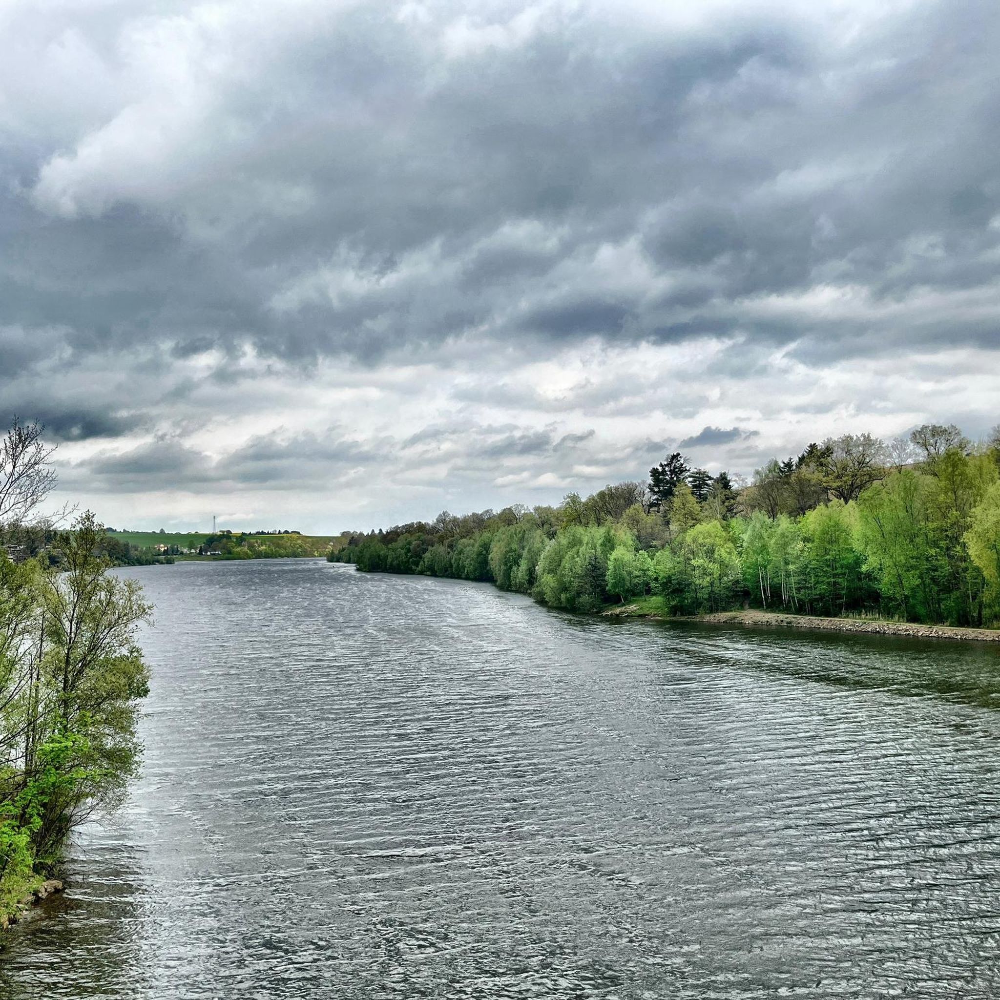
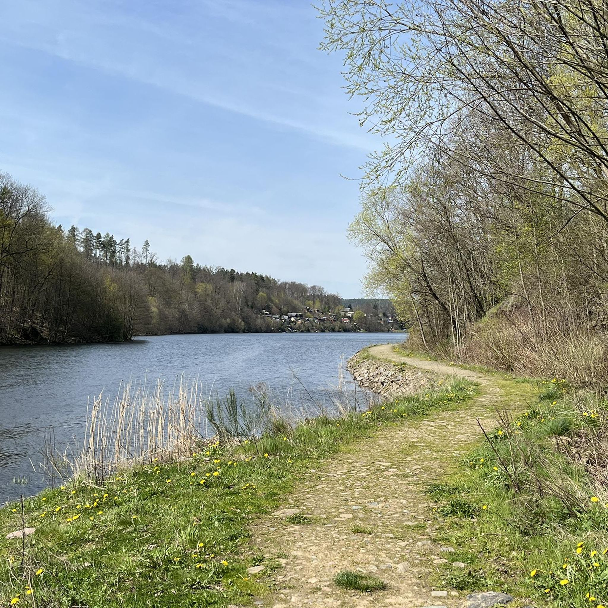
The dam was built from 1908 onwards near Klingenberg in the foothills of the Ore Mountains, based on an architectural design by Hans Poelzig. In 1914, the dam went into operation and was named after the last Saxon king: Friedrich-August-Talsperre. The impounded body of water is the Wilde Weißeritz. Its construction was part of a flood protection concept that was developed after the devastating flood of 1897 by the district administration of Dresden-Altstadt under the leadership of District Administrator and Dam Commissioner Arnold Streit. During construction, a standard-gauge industrial railway was built from Klingenberg-Colmnitz station to the construction site, which operated from 1911 to 1914. The Höhenweg trail now runs along its route over the Streichholzbrücke bridge. (Wikipedia)
0
0

It is simply wonderfully beautiful here 😊.
0
0
It is simply breathtakingly beautiful here 😊.
0
0

Beautiful, but sometimes a bit crowded
0
0

It's just incredibly beautiful here 😊.
0
1

Possibility of a circular hike or (bicycle) tour near the water, more visibility than at other dams, numerous benches, a mini-beach on the eastern shore, bird watching, a restaurant on the dam wall - in short: suitable for a day trip.
0
0

The Rabenauer Grund (in the valley of the Rote Weißeritz) is unique.
0
0
Frequently Asked Questions
How many gravel bike trails are available around Böthchen?
There are over 30 gravel bike routes in the Böthchen area. These include a diverse range of options, with 2 easy, 17 moderate, and 15 difficult trails, ensuring there's something for every skill level.
Are there any beginner-friendly gravel bike routes in Böthchen?
Yes, Böthchen offers a few routes suitable for beginners. While most trails are moderate to difficult, you can find 2 easy routes to get started. For example, look for shorter, flatter sections around the reservoirs.
What kind of terrain can I expect on gravel bike trails in Böthchen?
The region around Böthchen is characterized by river valleys, reservoirs, and dam systems. You'll encounter a mix of rolling hills and established cycle paths, providing varied terrain that includes both challenging climbs and scenic, smoother sections.
Are there any circular gravel bike routes in the Böthchen area?
Many of the gravel bike routes around Böthchen are designed as loops. For instance, the Malter Dam – Malter Reservoir loop from Malter is a popular moderate circular path offering scenic views. Another option is the Windbergbahn Cycle Path – Rabenauer Grund loop from Dippoldiswalde.
What are some scenic viewpoints or attractions along the gravel bike trails?
The trails often pass by significant water bodies like the Malter Dam and Klingenberg Forebay Dam, offering picturesque views. You might also encounter natural features such as the Tännichtgrund and Tännichtgrund Bridge, or historical sites like the Former Berreuth Manor and Castle Site. The Cave at Berreuth Castle Pond is another interesting spot.
Are there routes suitable for advanced gravel bikers?
Absolutely. Böthchen offers 15 difficult gravel bike routes for experienced riders. A challenging option is the Malter Dam – Klingenberg Forebay Dam loop from Malter, which navigates around significant water bodies and features considerable elevation gain.
Where can I find parking for gravel biking in Böthchen?
Parking is available at various trailheads. For example, the Paulsdorf Trailhead Parking Lot is a convenient option for accessing routes around the Malter Reservoir. Many routes also start from towns like Malter or Dippoldiswalde, where public parking might be available.
What do other gravel bikers enjoy most about the trails in Böthchen?
The gravel biking routes in Böthchen are highly rated by the komoot community, with an average score of 4.5 stars from over 20 reviews. Riders often praise the varied terrain, the scenic dam systems and reservoirs, and the well-maintained paths that make for an enjoyable experience.
Are there any gravel routes that are less crowded?
While popular routes like those around Malter Dam can see more traffic, exploring trails further into the Rabenauer Grund valley or along the Wilde Weißeritz, such as the Along the Wilde Weißeritz – Klingenberg Forebay Dam loop from Dippoldiswalde, might offer a more secluded experience, especially on weekdays.
Can I access gravel bike trails in Böthchen using public transport?
Many starting points for gravel bike routes, such as Dippoldiswalde, are accessible by public transport. It's advisable to check local bus or train schedules to plan your journey and ensure your bike can be transported.
Are there any routes suitable for families with children?
For families, look for the easier and moderate routes, particularly those with less elevation gain and smoother surfaces. The region's established cycle paths, especially around the reservoirs, can be more family-friendly. Always check the route's difficulty and length before heading out with children.
What is the best season for gravel biking in Böthchen?
Spring and autumn generally offer the most pleasant conditions for gravel biking in Böthchen, with milder temperatures and beautiful scenery. Summer can also be great, but be prepared for warmer weather. Winter riding is possible, but trail conditions may vary due to snow or ice.
Most popular routes around Böthchen
Most popular attractions around Böthchen

Get inspired with the komoot mobile app


Explore more
Browse the best Gravel rides in other regions.
