The best gravel rides around Hurworth Burn Reservoir
4.7
(6)
55
riders
7
rides
Gravel biking around Hurworth Burn Reservoir offers routes through a landscape characterized by disused railway lines, farmland, and woodlands. The area features a network of multi-user trails, many of which follow former railway paths, providing relatively flat and accessible terrain. These paths connect to larger networks like the National Cycle Network Route 1 and the Castle Eden Walkway. The reservoir itself is a central feature, surrounded by a circular path and offering views of the rural County Durham scenery.
Best gravel bike trails around Hurworth Burn Reservoir
- The most popular gravel bike trail is Hurworth Burn Reservoir – Thorpe Thewles Station loop from Wingate, a 16.9 miles (27.2 km) trail that takes 1 hour 55 minutes to complete. This route utilizes former railway lines, offering varied terrain.
- Another top favourite among local gravel bikers is Hurworth Burn Reservoir – National Cycle Network Route 1 loop from Old Acres Hall Farm Gate, a moderate 25.9 miles (41.7 km) path. This route connects to the National Cycle Network, providing a mix of paved and unpaved sections through rural landscapes.
- Local gravel bikers also love the Hetton Lyons Lake – Pittington Way Railway Path loop from Trimdon Grange, a 27.7 miles (44.6 km) trail leading through former railway paths and green spaces, often completed in about 3 hours 12 minutes.
- Gravel biking around Hurworth Burn Reservoir is defined by disused railway lines, farmland, and woodlands. The network offers options for both easy rides and more challenging excursions.
- The routes in Hurworth Burn Reservoir are highly rated by the komoot community with an average score of 4.4 stars from over 8 reviews. More than 50 gravel bikers have used komoot to explore Hurworth Burn Reservoir's varied terrain.
Last updated: May 21, 2026
5.0
(3)
17
riders
27.2km
01:26
160m
160m
Moderate gravel ride. Good fitness required. Mostly paved surfaces. Suitable for all skill levels.
4.0
(1)
3
riders
Moderate gravel ride. Good fitness required. Mostly paved surfaces. Suitable for all skill levels.

Sign up for free
2
riders
Moderate gravel ride. Good fitness required. Mostly paved surfaces. Suitable for all skill levels.
1
riders
Easy gravel ride. Great for any fitness level. Mostly paved surfaces. Suitable for all skill levels.
4.0
(1)
18
riders
Moderate gravel ride. Good fitness required. Mostly paved surfaces. Suitable for all skill levels.
Get access to more routes and recommendations from other explorers.
Sign up for free
Already have an account?
Our route recommendations are based on thousands of hikes, rides, and runs completed by other people on komoot.
Start today with a free account
Your next adventure awaits.
Login or Signup

Tips from the Community

Cracking little piece of track to push the heart and lungs, just be aware of pedestrians and dog walkers
1
0

A nice gentle route but be wary of walkers with dogs.
0
0

This track has recently been tarmacked from "South Hetton" to "Shotton" the restriction in the photo is not there now
2
1

Hetton Lyons Country Park is a pretty park centred around a water sports lake. It has a cafe based in the Springboard Adventure centre. It was once the site of a coal mine, operating for almost 130 years. The colliery closed in 1950.
0
0
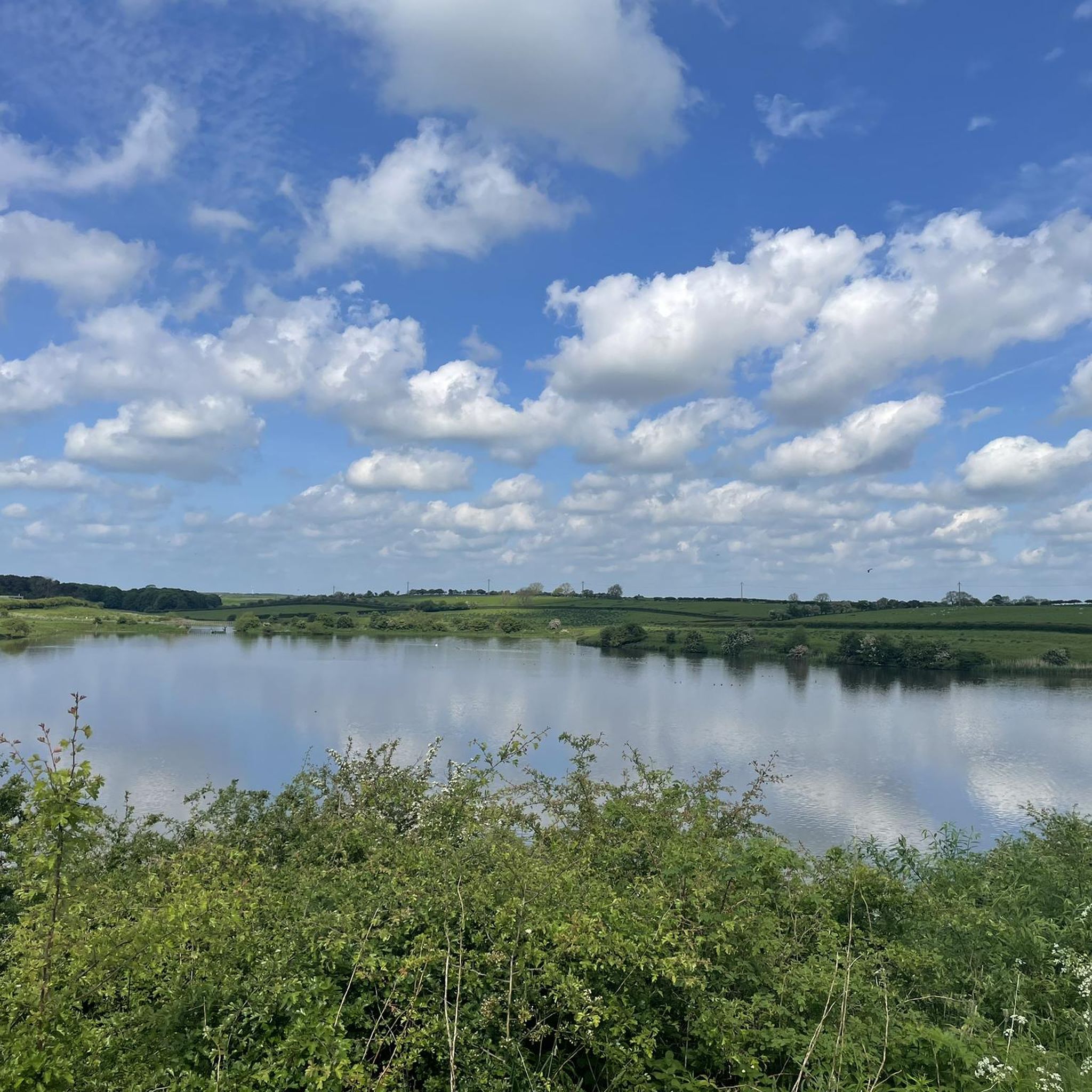
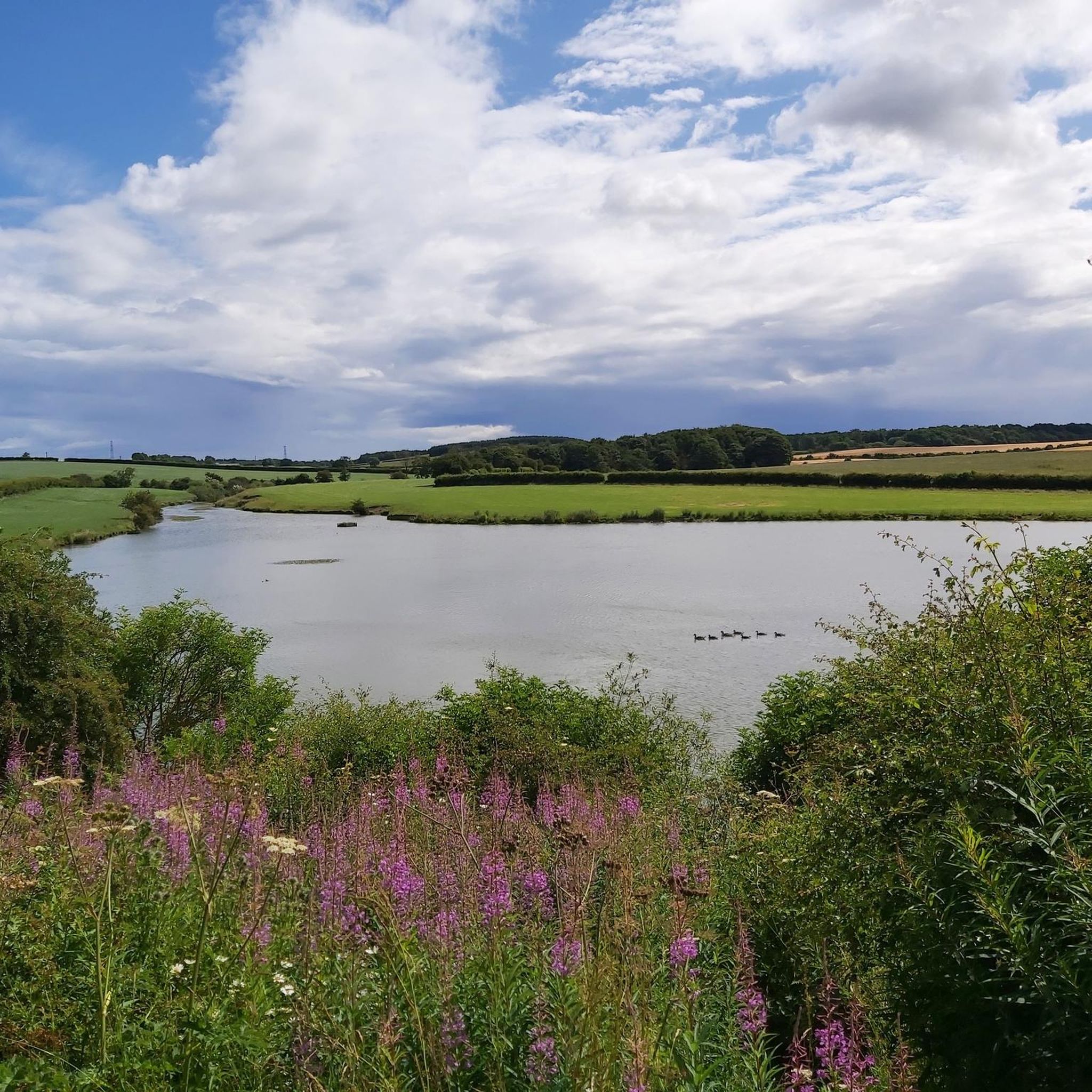
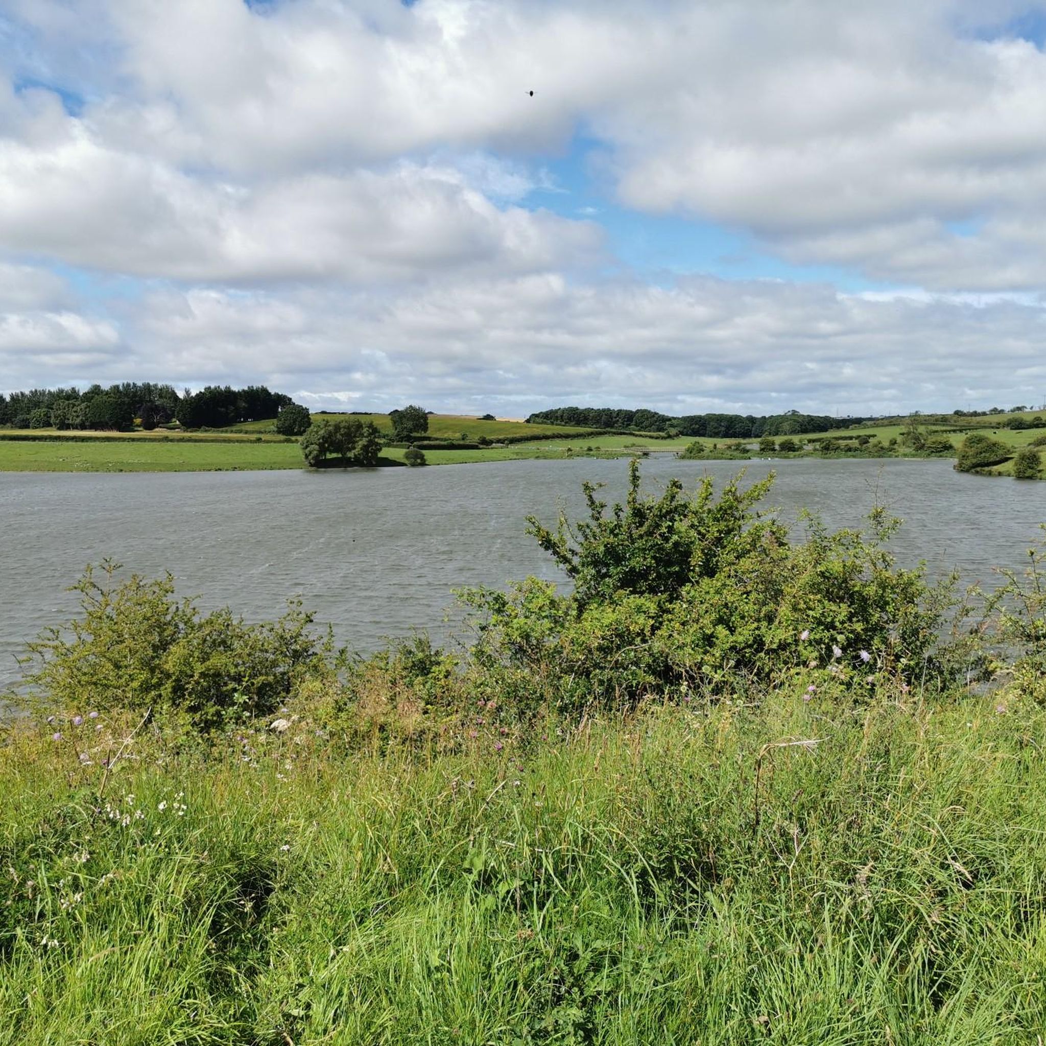
Hurworth Burn Reservoir is a 21 acre lake built in 1867. It's surrounded by woodland and attracts a rich variety of wildlife.
1
0

just of the old railway path behind Garmondsway village theirs some old abandoned lime kilins
0
0

Don't listen to the navigation as it needs updating it is forever telling you to turn round or make a u turn or turn left or right of which you can't as its an old railway track/cutting just follow the the track and enjoy 😉
0
0

Love this route from Stockton right up the castle Eden walkway to Wingate return. Reasonably flat...have to be mindful of dog walkers .
0
0
Frequently Asked Questions
What kind of terrain can I expect on gravel bike trails around Hurworth Burn Reservoir?
The gravel bike trails around Hurworth Burn Reservoir primarily follow disused railway lines, offering a mix of relatively flat, multi-user paths. You'll encounter surfaces ranging from paved sections to unpaved gravel, cutting through farmland, woodlands like Brierley Woods, and open pastures. Some longer routes may include more challenging unpaved segments.
Are there any easy gravel bike routes suitable for beginners or families?
Yes, the area offers several easy routes. For instance, the Woodland Pond – National Cycle Network Route 1 loop from Charity Land SSSI is an easy 21.1 km ride. The former railway paths generally provide accessible terrain, making them suitable for various skill levels, including those new to gravel biking or families looking for a less strenuous ride.
What are some popular gravel bike routes in the Hurworth Burn Reservoir area?
Local gravel bikers enjoy routes such as the Hurworth Burn Reservoir – Thorpe Thewles Station loop from Wingate, which is a moderate 27.1 km trail utilizing former railway lines. Another favorite is the Hurworth Burn Reservoir – National Cycle Network Route 1 loop from Old Acres Hall Farm Gate, a moderate 41.6 km path connecting to the National Cycle Network.
Can I find circular gravel bike routes around Hurworth Burn Reservoir?
Yes, many of the routes in the area are designed as loops, allowing you to start and finish at the same point. For example, the Hurworth Burn Reservoir – National Cycle Network Route 1 loop from Trimdon Limestone Quarry SSSI is a moderate 25.9 km circular route. The reservoir itself also has a shorter 1.5-mile circular trail around its perimeter.
What kind of wildlife can I expect to see while cycling around Hurworth Burn Reservoir?
Hurworth Burn Reservoir and its surrounding habitats are a haven for wildlife, especially birds. You might spot various wetland birds, wildfowl, and passerines, particularly during winter. Species like swans, geese, ducks, kingfishers, cormorants, and different waders are commonly observed in the reed beds and fen carr areas.
Are there any historical landmarks or interesting sights along the gravel trails?
Yes, the area is rich in historical interest due to its former railway lines. You can often see remains of old stations, such as Hurworth Burn Railway, along the paths. The reservoir itself, created in the 1870s, is also a notable feature, offering fine country views.
Are the gravel bike trails around Hurworth Burn Reservoir suitable for dogs?
Many of the multi-user trails, especially those following former railway lines, are generally dog-friendly. However, it's always recommended to keep dogs on a lead, especially near wildlife habitats, livestock in farmland areas, and other trail users. Please be mindful of local signage regarding dogs.
Where can I park when visiting Hurworth Burn Reservoir for gravel biking?
While specific parking areas aren't detailed for every route, the region's popularity for outdoor activities suggests designated parking is available at common access points to the multi-user trails and near the reservoir itself. Look for car parks near trailheads or along the main access roads to the reservoir.
What do other gravel bikers say about the routes in Hurworth Burn Reservoir?
The komoot community highly rates the gravel biking experience around Hurworth Burn Reservoir, with an average score of 4.4 stars from over 8 reviews. Riders often praise the varied terrain, the scenic views, and the well-maintained nature of the former railway paths.
Are there any cafes or pubs near the gravel bike trails for a break?
The picturesque setting of Hurworth Burn Reservoir, particularly along the Castle Eden Walkway on the eastern side, offers picnic tables for breaks. While specific cafes or pubs directly on the trails aren't listed, the surrounding villages and towns, such as Thorpe Thewles, would likely offer options for refreshments.
How many gravel bike trails are available around Hurworth Burn Reservoir?
There are 9 gravel bike trails available around Hurworth Burn Reservoir, ranging from easy to moderate difficulty, providing a good selection for different preferences and skill levels.
What is the longest gravel bike route in the area?
The longest gravel bike route currently listed is the Hetton Lyons Lake – Pittington Way Railway Path loop from Trimdon Grange, which covers 44.6 km and typically takes about 3 hours and 12 minutes to complete.
Most popular routes around Hurworth Burn Reservoir

Get inspired with the komoot mobile app


Explore more
Browse the best Gravel rides in other regions.
