The best gravel rides around Vartry Reservoir Lower
5.0
(1)
23
riders
6
rides
Gravel biking around Vartry Reservoir Lower offers routes through the Wicklow Mountains, characterized by forested hills, open moorland, and the reservoir itself. The terrain includes a mix of paved and unpaved surfaces, with varied elevation changes. This region provides a natural setting for gravel biking, featuring both challenging climbs and scenic paths.
Best gravel bike trails around Vartry Reservoir Lower
- The most popular gravel bike trail is From Roundwood to the Wicklow mountains loop, a 44.5 miles (71.6 km)…
Last updated: May 21, 2026
5.0
(1)
6
riders
71.6km
06:21
1,140m
1,140m
Hard gravel ride. Very good fitness required. You may need to push your bike for some segments of this route.
1
riders
76.2km
06:42
1,610m
1,620m
Hard gravel ride. Very good fitness required. Mostly paved surfaces. Suitable for all skill levels.

Sign up for free
1
riders
19.9km
01:23
280m
280m
Moderate gravel ride. Good fitness required. Mostly paved surfaces. Suitable for all skill levels.
11
riders
13.7km
01:04
310m
310m
Moderate gravel ride. Good fitness required. Mostly paved surfaces. Suitable for all skill levels.
3
riders
26.2km
02:00
610m
610m
Hard gravel ride. Very good fitness required. Mostly paved surfaces. Suitable for all skill levels.
Our route recommendations are based on thousands of hikes, rides, and runs completed by other people on komoot.
Start today with a free account
Your next adventure awaits.
Login or Signup
Tips from the Community


An excellent place for a pitstop. There is a small courtyard for storing one or two bikes and sheltered outside seating area. Great food but quite pricey
0
0

Open face helmet or full face with removable chin, it will get warm.
0
0

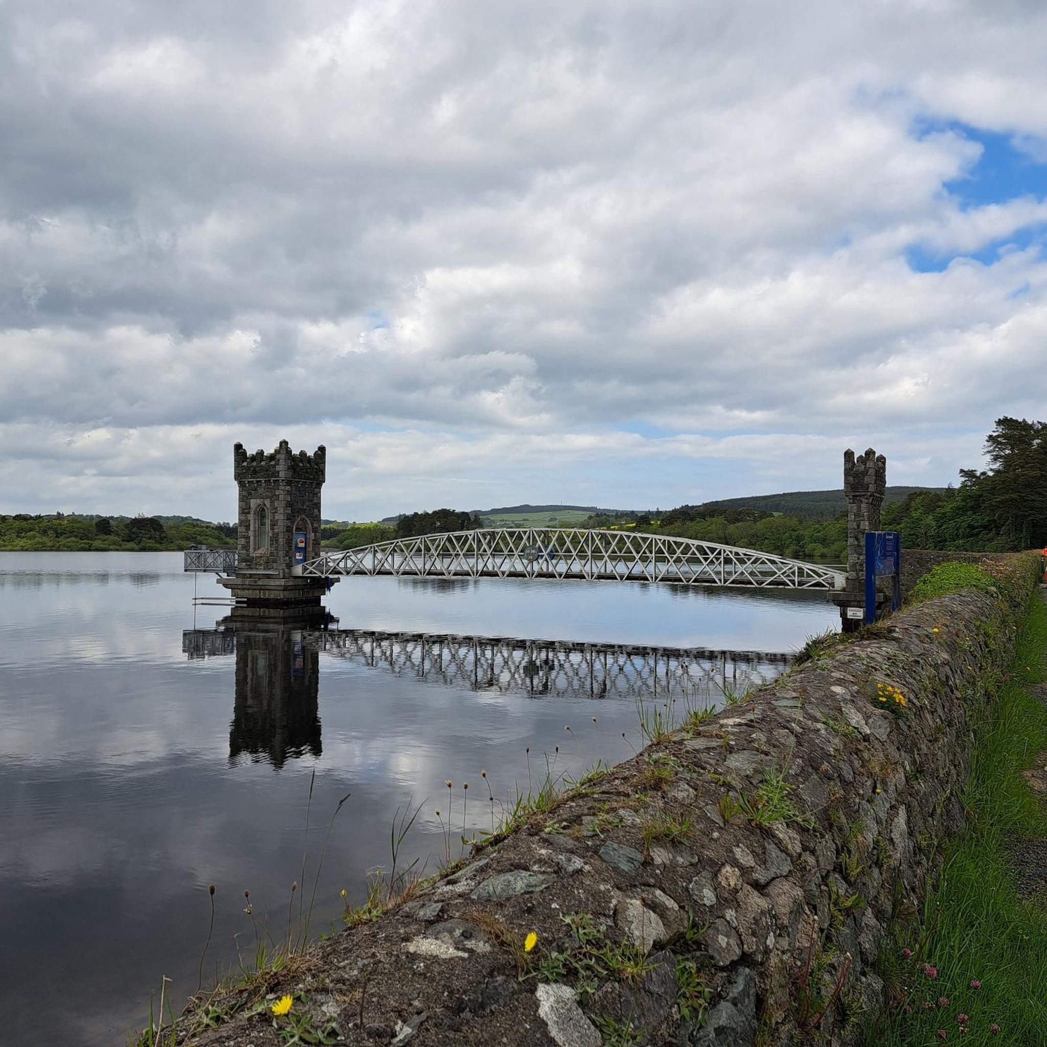
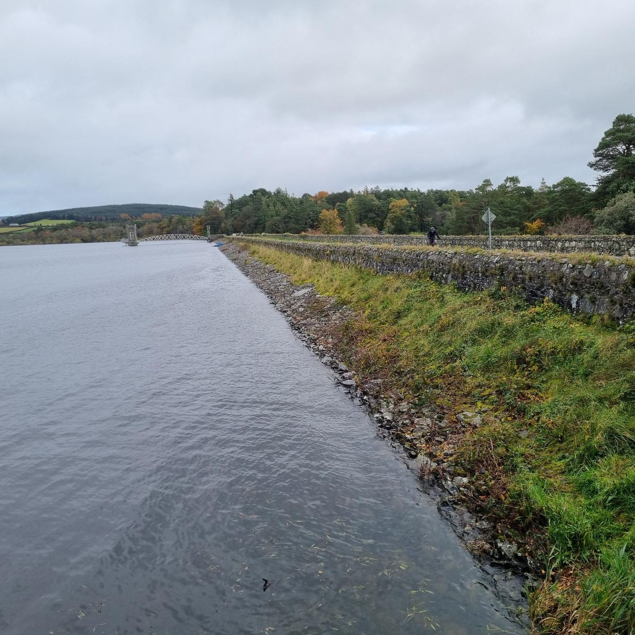
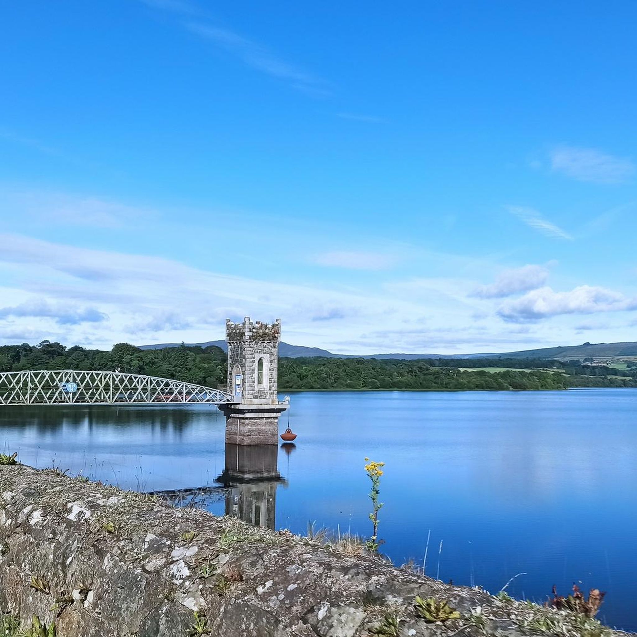
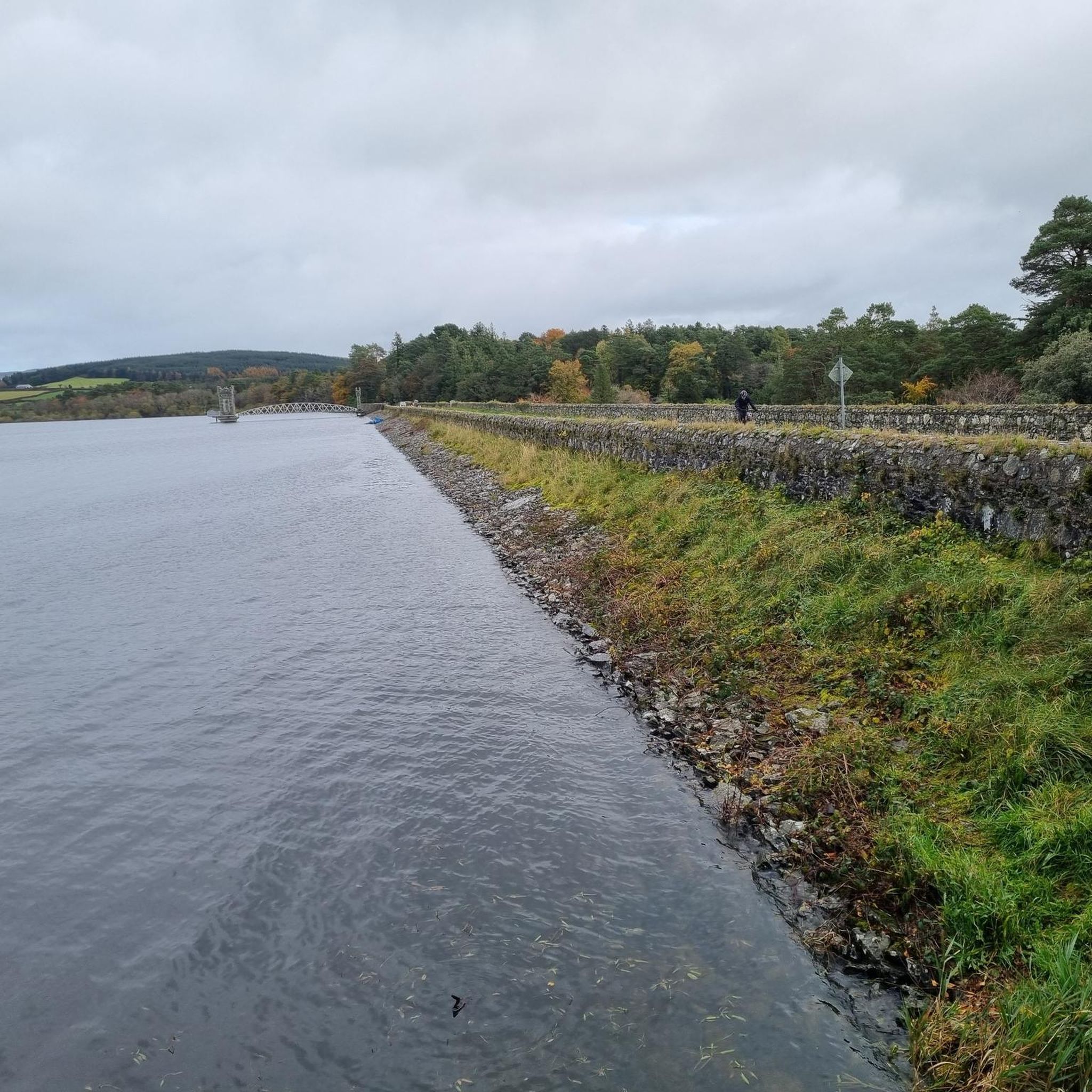
The Vartry Upper Reservoir, located near Roundwood in County Wicklow, is part of a significant water supply system that serves Dublin city. Completed in 1923, it has a capacity of 5.6 billion litres and a maximum depth of 13.4 metres. The reservoir is surrounded by nearly 20 km of walking trails, offering scenic views of the surrounding mountains and diverse wildlife.
1
0
The Avonmore River, known as "An Abhainn Mhór" in Irish, meaning "the big river," originates from Lough Dan in the Wicklow Mountains, west of Roundwood. It flows southward for approximately 30 kilometers, passing through scenic locations such as Annamoe, Laragh, and Rathdrum. The river features the Avonmore Way, a walking trail that follows its path, providing hikers with picturesque views of the surrounding landscape.
0
0

Excellent restaurant and Hotel in the centre of Roundwood. Breakfast at the Roundwood Stores bakery in the old stables or - if you want to leave early - at the supermarket 5 minutes away.
0
0
Frequently Asked Questions
How many gravel bike trails are available around Vartry Reservoir Lower?
There are 7 gravel bike trails around Vartry Reservoir Lower. These include 3 moderate routes and 4 more challenging options, offering a variety of experiences for different skill levels.
Are there any family-friendly or beginner gravel biking routes in the Vartry Reservoir Lower area?
While there are no routes specifically classified as 'easy', the area does offer moderate trails suitable for those with some biking experience or families looking for a less strenuous ride. A good option is the Devil's Glen Waterfall – Waterfall loop from Oldtown ED, which is 12.4 miles (19.9 km) long and takes about 1 hour 22 minutes.
What are some challenging gravel bike trails for experienced riders?
For experienced gravel bikers seeking a challenge, the Vartry Reservoir Lower area offers several difficult routes. Consider the From Roundwood to the Wicklow mountains loop, a 44.5 miles (71.6 km) trail exploring expansive landscapes, or the From Roundwood to Three Rock mountain loop, which is 47.4 miles (76.2 km) with significant elevation gain and views from Three Rock Mountain.
Are there any circular gravel bike routes around Vartry Reservoir Lower?
Yes, many of the gravel bike routes in the area are designed as loops. For example, the Gravel loop from Ballinastoe Wood offers a moderate 13.7 km ride, perfect for exploring the forested areas.
What kind of terrain and trail conditions can I expect when gravel biking here?
The terrain around Vartry Reservoir Lower is characterized by a mix of paved and unpaved surfaces, including forest roads, gravel paths, and some sections of tarmac. You'll encounter varied elevation changes, from gentle inclines to more challenging climbs, especially on routes venturing into the Wicklow Mountains. Trail conditions can vary with weather, so be prepared for potentially muddy or loose surfaces after rain.
What is the best time of year for gravel biking around Vartry Reservoir Lower?
Spring and autumn generally offer the most pleasant conditions for gravel biking, with milder temperatures and beautiful scenery as the foliage changes. Summer can also be excellent, though trails may be busier. Winter rides are possible, but be prepared for colder, wetter conditions and potentially shorter daylight hours.
Are there any cafes or places to get refreshments near the gravel trails?
Yes, some routes incorporate stops or pass near villages with amenities. For instance, the Lough Tay – Roundwood Stores Café loop from Ballinastoe Wood suggests a route that includes the Roundwood Stores Café, offering a convenient stop for refreshments during your ride.
What are some interesting landmarks or viewpoints along the gravel bike trails?
The trails offer access to several notable points of interest. You can ride past the Vartry Reservoir itself, or explore areas like Devil's Glen, which features a waterfall. Many routes also provide scenic views of the surrounding Wicklow Mountains, particularly from higher elevations.
Is there parking available for gravel bikers at Vartry Reservoir Lower?
Parking is typically available at common starting points for routes in the area, such as near Roundwood or Ballinastoe Wood. Specific parking details can often be found on individual route descriptions on komoot.
What do other gravel bikers enjoy the most about gravel biking in Vartry Reservoir Lower?
The area is highly rated by the komoot community, with an average score of 5.0 stars. Reviewers often praise the diverse terrain, the stunning natural beauty of the Wicklow Mountains, and the sense of adventure offered by the challenging routes.
Can I reach the Vartry Reservoir Lower gravel trails using public transport?
While public transport options directly to trailheads might be limited, some routes start from or pass through villages like Roundwood, which may have bus connections. It's advisable to check local bus schedules and routes in advance if you plan to use public transport.
What kind of wildlife might I encounter while gravel biking here?
The Vartry Reservoir Lower area, being part of the Wicklow Mountains, is home to various wildlife. You might spot deer, foxes, and a variety of bird species, especially in the forested and moorland sections of the trails. Keep an eye out for local birds of prey soaring overhead.
Most popular routes around Vartry Reservoir Lower
Most popular attractions around Vartry Reservoir Lower

Get inspired with the komoot mobile app


