The best gravel rides around Autobahnsee
4.4
(768)
4,055
riders
195
rides
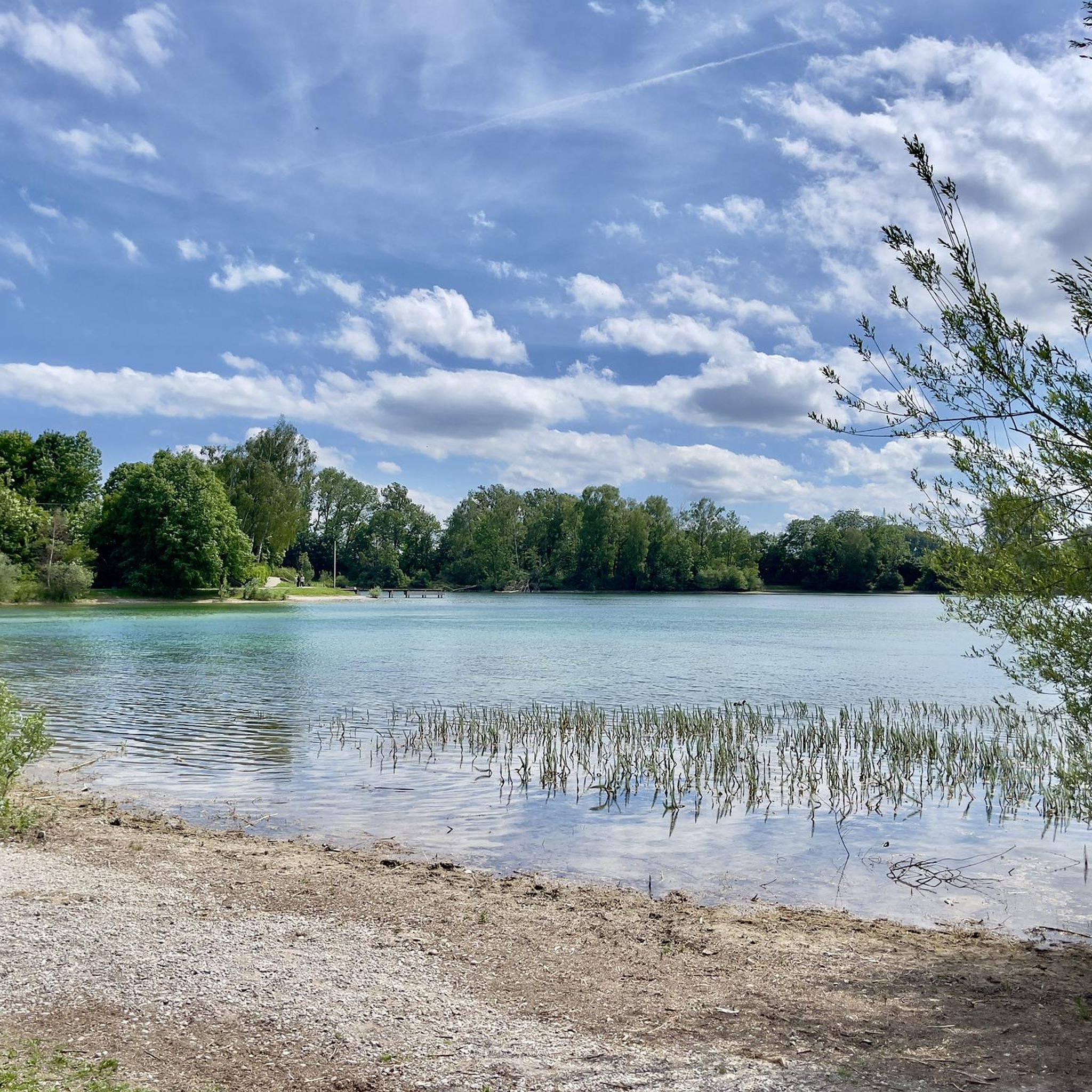
Gravel biking around Autobahnsee features a landscape shaped by its origins as a gravel excavation site, its proximity to the Lech River, and various surrounding lakes. The terrain is generally flat with minimal elevation changes, making it suitable for accessible gravel bike trails. Routes often follow riverbanks, dam paths, and lake shores, providing consistent surfaces for riding. The area offers a network of paths that connect natural water features with surrounding green spaces and a dedicated nature reserve.
Best gravel…
Last updated: July 2, 2026
4.5
(2)
40
riders
15.8km
00:46
40m
40m
Easy gravel ride. Great for any fitness level. Mostly paved surfaces. Suitable for all skill levels.
5.0
(2)
26
riders
Easy gravel ride. Great for any fitness level. Mostly paved surfaces. Suitable for all skill levels.

Sign up for free
3.8
(5)
23
riders
Easy gravel ride. Great for any fitness level. Mostly paved surfaces. Suitable for all skill levels.
4.0
(1)
47
riders
66.4km
03:26
180m
180m
Moderate gravel ride. Good fitness required. Mostly paved surfaces. Suitable for all skill levels.
4.5
(34)
166
riders
Moderate gravel ride. Good fitness required. Mostly paved surfaces. Suitable for all skill levels.
Get access to more routes and recommendations from other explorers.
Sign up for free
Already have an account?
Our route recommendations are based on thousands of hikes, rides, and runs completed by other people on komoot.
Start today with a free account
Your next adventure awaits.
Login or Signup
Tips from the Community

Beautiful here so vast much forest and great nature
0
0

Depending on the water flow in the Lech, north of the weir in Gersthofen, the "river" is only fed by the water flowing through the fish ladder, with the water being primarily diverted into the Lech canal.😒
0
0

At the northern end of the Wolfzahnau, the Wertach River flows into the Lech River. The Lech and Wertach rivers converge in the Wolfzahnau – a landscape conservation area within the city of Augsburg, located on the western bank of the Lech River. The Lech carries greenish water, while the Wertach carries brownish water.
1
0

The Lech is a right tributary of the Danube. The 256 km long river originates in Vorarlberg in the Hochtannberg region at the confluence of the Spullerbach and Formarinbach streams in the Tannläger valley. It flows through Tyrol and southern Bavaria, where it empties into the Danube. Shortly before the Austrian-German border, it joins the Vils river, forms the artificial Lechfall near Füssen, and crosses Swabia and Upper Bavaria on its way. The largest cities on the Lech are Landsberg and Augsburg; in this city, it receives its largest tributary, the Wertach. The river empties into the Danube near Marxheim. Source: Wikipedia
1
0
The Lech is a right tributary of the Danube. The 256 km long river originates in Vorarlberg in the Hochtannberg region at the confluence of the Spullerbach and Formarinbach streams in the Tannläger valley. It flows through Tyrol and southern Bavaria, where it empties into the Danube. Shortly before the Austrian-German border, it joins the Vils river, forms the artificial Lechfall near Füssen, and crosses Swabia and Upper Bavaria on its way. The largest cities on the Lech are Landsberg and Augsburg; in this city, it receives its largest tributary, the Wertach. The river empties into the Danube near Marxheim. Source: Wikipedia
1
0
The Lech is a right tributary of the Danube. The 256 km long river originates in Vorarlberg in the Hochtannberg region at the confluence of the Spullerbach and Formarinbach streams in the Tannläger valley. It flows through Tyrol and southern Bavaria, where it empties into the Danube. Shortly before the Austrian-German border, it joins the Vils river, forms the artificial Lechfall near Füssen, and crosses Swabia and Upper Bavaria on its way. The largest cities on the Lech are Landsberg and Augsburg; in this city, it receives its largest tributary, the Wertach. The river empties into the Danube near Marxheim. Source: Wikipedia
1
0
The Lech is a right tributary of the Danube. The 256 km long river originates in Vorarlberg in the Hochtannberg region at the confluence of the Spullerbach and Formarinbach streams in the Tannläger valley. It flows through Tyrol and southern Bavaria, where it empties into the Danube. Shortly before the Austrian-German border, it joins the Vils river, forms the artificial Lechfall near Füssen, and crosses Swabia and Upper Bavaria on its way. The largest cities on the Lech are Landsberg and Augsburg; in this city, it receives its largest tributary, the Wertach. The river empties into the Danube near Marxheim. Source: Wikipedia
2
0

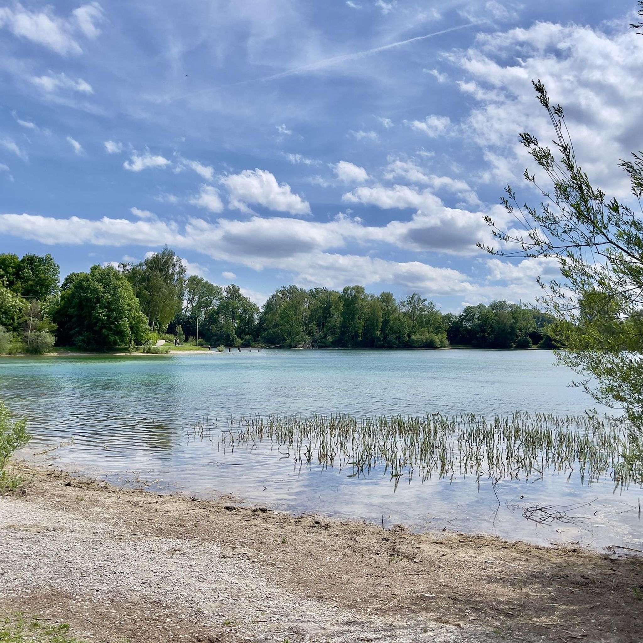
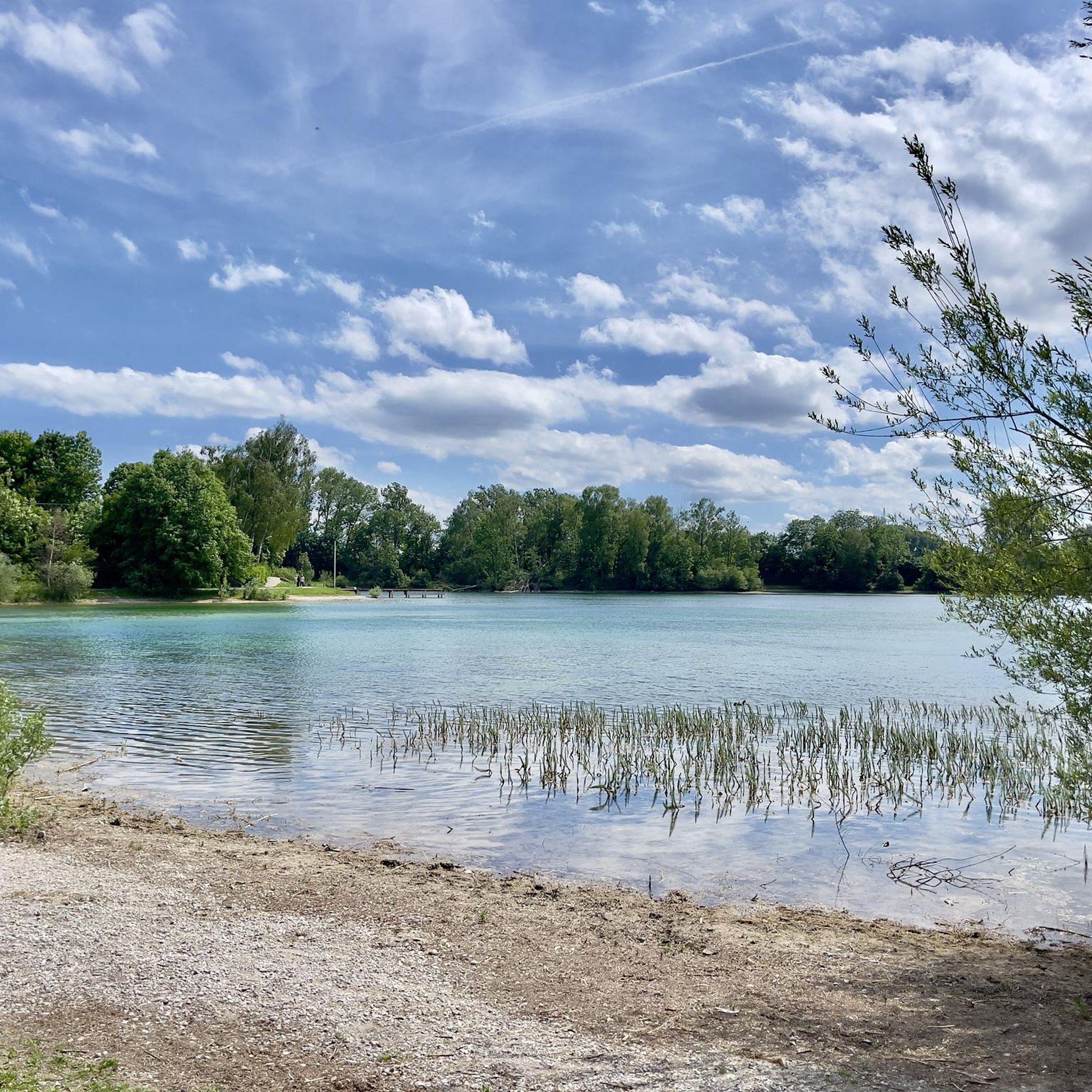
Beautiful gravel banks. Almost like Canada.
0
0
Frequently Asked Questions
What kind of terrain can I expect on gravel bike trails around Autobahnsee?
The terrain around Autobahnsee is generally flat with minimal elevation changes, shaped by its proximity to the Lech River and various lakes like Kuhsee. You'll often find routes following riverbanks, dam paths, and lake shores, providing consistent surfaces suitable for gravel biking.
Are there gravel bike trails suitable for beginners or families around Autobahnsee?
Yes, the Autobahnsee area is excellent for beginners and families due to its generally flat terrain. There are over 60 easy routes available. A great option is the Lech River in Gersthofen – Lech River near Augsburg loop from Augsburg, which offers a smooth ride along the riverside.
How many gravel bike routes are available in the Autobahnsee region?
The Autobahnsee region offers a wide selection of gravel bike routes, with nearly 300 tours available. These include options for easy, moderate, and challenging rides, catering to various skill levels.
What are some scenic highlights or points of interest along the gravel bike trails?
Many routes offer scenic views of the lakes and rivers. You can explore areas like Autobahnsee Augsburg itself, or the Autobahnsee Nature Reserve. The Kuhsee – Hochablass Dam (Augsburg) loop from Augsburg is particularly known for its scenic lake views.
Are there any longer or more challenging gravel bike routes for experienced riders?
Yes, for those seeking a longer ride, there are nearly 70 challenging routes and over 150 moderate options. Consider the Lech River near Augsburg – Lech Weir 23/6 loop from Affing, a moderate 66 km route that provides a good distance challenge.
Can I find loop trails for gravel biking around Autobahnsee?
Absolutely. Many of the gravel bike routes in the Autobahnsee area are designed as loops, allowing you to start and finish at the same point. An example is the Hochablass Dam (Augsburg) – Hochablass Dam (Augsburg) loop from Augsburg, which is an 18.9 km loop.
What do other gravel bikers say about the trails in Autobahnsee?
The komoot community highly rates the gravel biking experience around Autobahnsee, with an average score of 4.4 stars from over 800 reviews. Riders often praise the well-maintained paths along the rivers and lakes, and the accessibility of the routes.
Are there options for refreshments or cafes near the gravel bike trails?
Yes, you'll find places to stop for refreshments. For example, the Lauterbacher Lakeside Beer Garden is a popular spot near Autobahnsee, perfect for a break during your ride.
What is the typical elevation gain on gravel bike routes in this region?
Given the generally flat landscape of the Autobahnsee region, elevation gains on most gravel bike routes are minimal. You'll primarily experience gentle undulations rather than significant climbs, making for a less strenuous ride.
Are there any routes that explore both the Wertach and Lech Rivers?
Yes, you can combine the experience of both rivers. The The Wertach River in Augsburg – Lech River in Gersthofen loop from Augsburg-Oberhausen is a moderate 49.9 km route that allows you to explore both river landscapes.
Is the Autobahnsee area suitable for gravel biking year-round, including winter?
While the region is generally accessible, trail conditions can vary with seasons. In winter, some paths might be affected by snow or ice, especially those closer to the water. It's always best to check local conditions before heading out during colder months.
Most popular routes around Autobahnsee
Most popular attractions around Autobahnsee

Get inspired with the komoot mobile app


Explore more
Browse the best Gravel rides in other regions.
