The best walks and hikes around Jöhstadt
4.8
(837)
2,818
hikers
145
hikes
Hiking around Jöhstadt offers diverse landscapes within the scenic Ore Mountains (Erzgebirge), situated on the border with the Czech Republic. The region features elevations ranging from 520 meters to 821 meters, contributing to varied terrain. Key natural elements include the Schwarze Pockau River, known for its unique rock formations, and the Bärenstein summit, which provides panoramic views. The area is characterized by mountainous terrain, dense woodlands, and a network of trails suitable for different skill levels.
Best hiking trails around Jöhstadt
- The most popular hiking route is Schmalzgrube station – Preßnitztalbahn loop from Ausstellungs- und Fahrzeughalle, an 8.6 miles (13.9 km) trail that takes 3 hours 48 minutes to complete, winding through the historic Preßnitztal valley.
- Another top favourite among local hikers is Forellenhof stop – Riverside Idyll at Felseneck loop from Steinbach, a moderate 4.6 miles (7.4 km) path. This route offers riverside scenery and passes through varied forest landscapes.
- Local hikers also love the Kammweg Erzgebirge – Funny Hans Shelter loop from Schmalzgrube, a 9.0 miles (14.5 km) trail leading through the higher elevations of the Ore Mountains, often completed in about 4 hours 10 minutes.
- Hiking around Jöhstadt is defined by mountainous terrain, the picturesque Schwarze Pockau River, and the panoramic views from the Bärenstein summit. The network offers options for easy strolls, moderate forest paths, and more challenging ascents.
- The routes in Jöhstadt are highly rated by the komoot community with an average score of 4.8 stars from over 700 reviews. More than 2600 hikers have used komoot to explore Jöhstadt's varied terrain.
Last updated: September 29, 2026
4.8
(244)
813
hikers
Moderate hike. Good fitness required. Easily-accessible paths. Suitable for all skill levels.
4.8
(14)
72
hikers
14.5km
04:10
330m
330m
Moderate hike. Good fitness required. Easily-accessible paths. Suitable for all skill levels.

4.4
(25)
68
hikers
13.1km
03:48
350m
350m
Moderate hike. Good fitness required. Easily-accessible paths. Suitable for all skill levels.
4.9
(28)
83
hikers
Hard hike. Very good fitness required. Easily-accessible paths. Suitable for all skill levels.
4.8
(23)
79
hikers
9.08km
02:33
190m
190m
Moderate hike. Good fitness required. Easily-accessible paths. Suitable for all skill levels.
Get access to more routes and recommendations from other explorers.
Already have an account?
Our route recommendations are based on thousands of hikes, rides, and runs completed by other people on komoot.
Start today with a free account
Your next adventure awaits.
Popular around Jöhstadt

Digitale Wandernadel
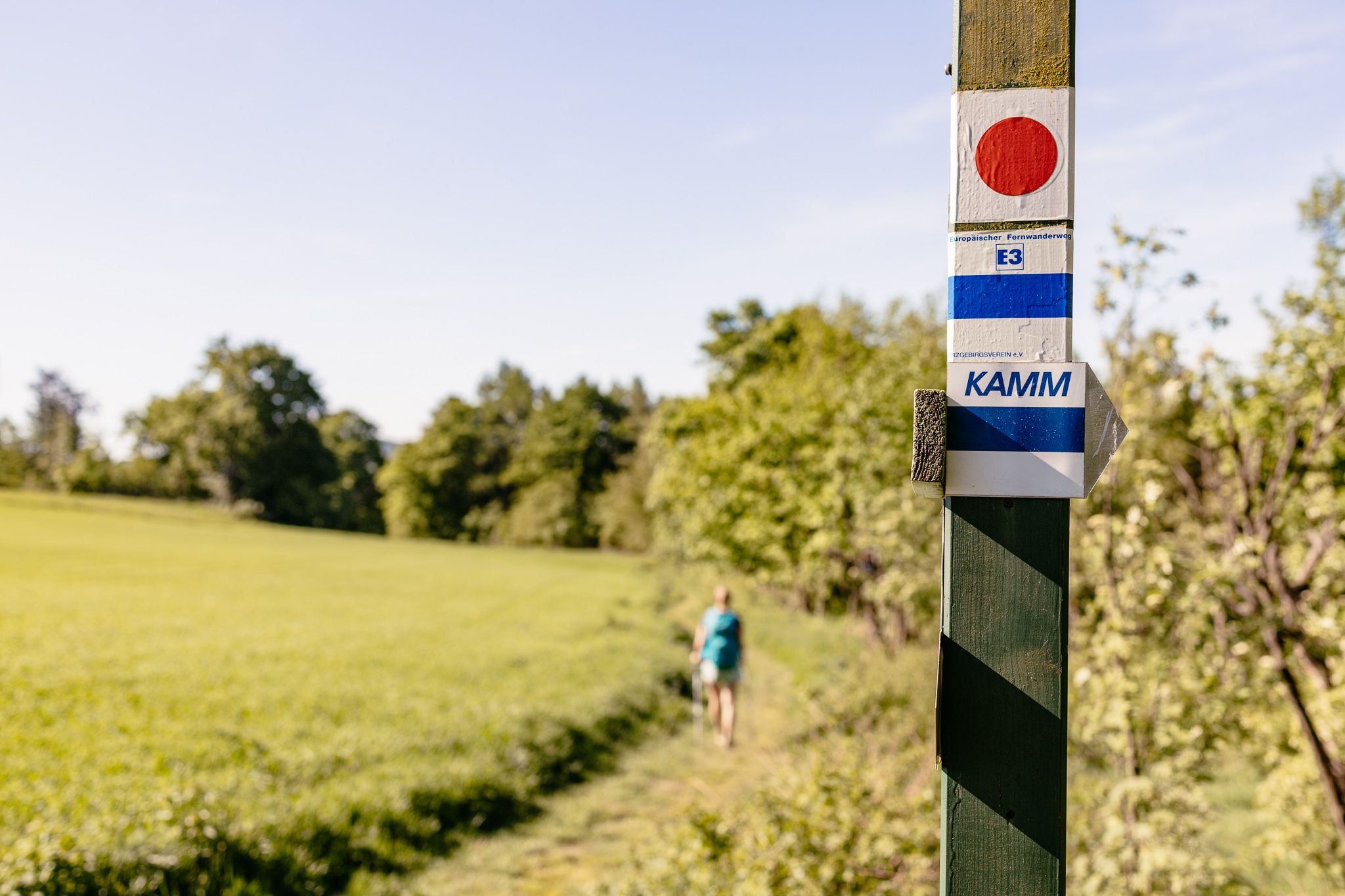
Der Kammweg Erzgebirge-Vogtland aus Sicht einer Bloggerin
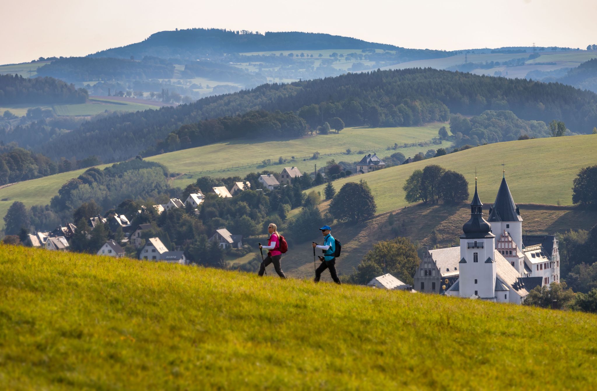
Pilgerwege durch das Erzgebirge
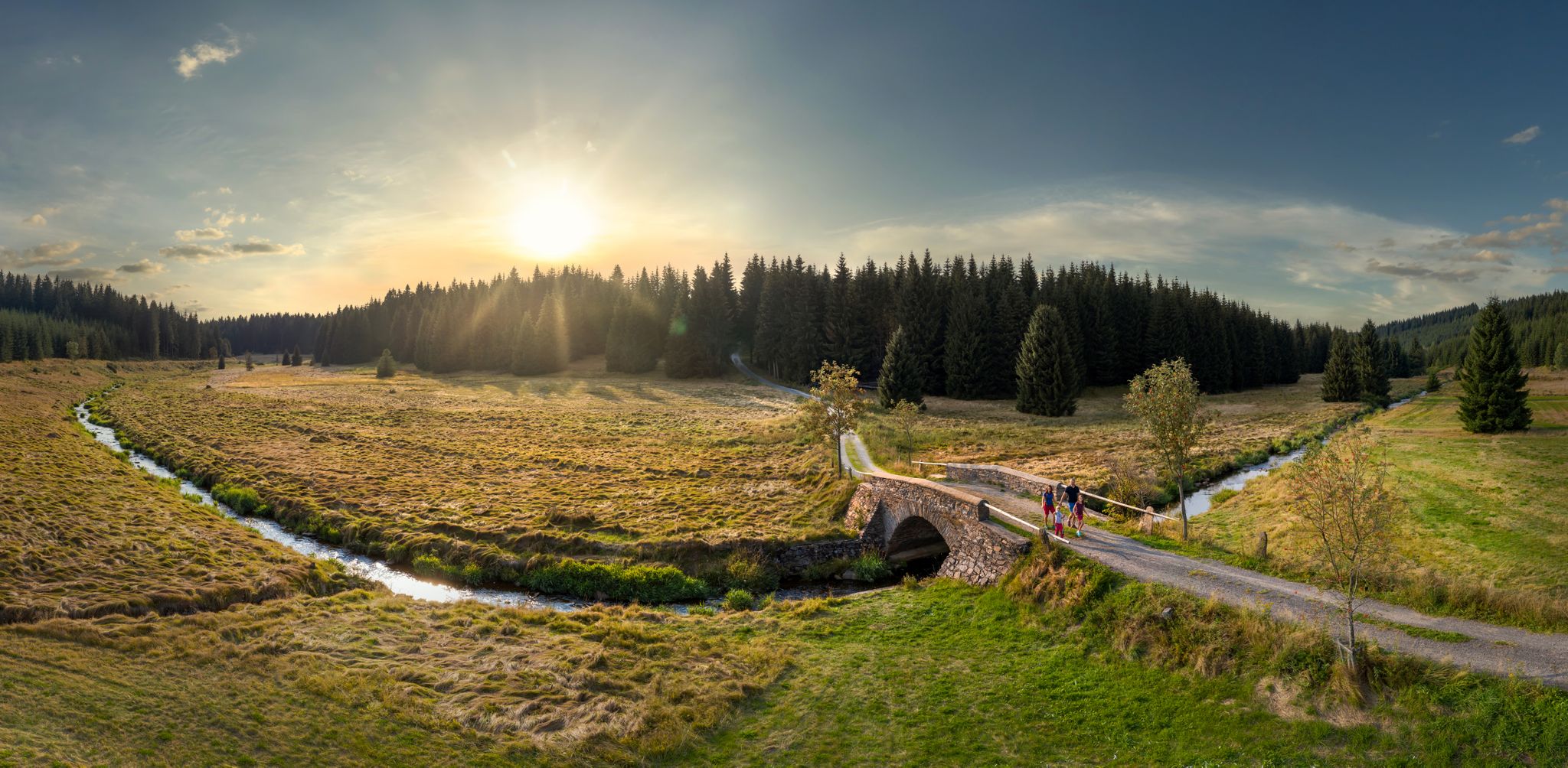
Wandertouren - Flusstäler & Talsperren

Wandertouren - Eisenbahn & Wanderstock
Cycling around Jöhstadt
MTB Trails around Jöhstadt
Road Cycling Routes around Jöhstadt
Running Trails around Jöhstadt
Gravel biking around Jöhstadt
Other adventures around Jöhstadt

Tips from the Community

The Wolkenstein–Jöhstadt narrow-gauge railway (also Preßnitztalbahn) is a Saxon narrow-gauge railway with a track gauge of 750 mm in the middle and upper Ore Mountains. It ran from Wolkenstein to the Saxon-Bohemian state border near Jöhstadt. From Wolkenstein, it initially ran for about two kilometers in the Zschopau valley, to Schmalzgrube in the Preßnitz valley, and then in the Schwarzwasser valley. The line, which was closed in two stages in 1984 and 1986, was rebuilt between 1992 and 2000 on the Steinbach–Jöhstadt section as a museum railway. In 2023, the reconstruction of the Oberschmiedeberg station was completed, which is to be connected to Steinbach in the coming years. On June 1, 1892, the K.Sächs.Sts.E.B. inaugurated the line with a celebratory event. In the early years, operations were handled with three pairs of trains daily. Locomotive treatment facilities were available in both Jöhstadt and Wolkenstein. (Wikipedia)
0
0

A wonderfully rustic stretch of trail, where running almost happens by itself! The wild Conduppelbachtal valley lives up to its name and is a real little adventure land for nature-loving kids. It babbles, it rustles, and at every corner, there are new stones, exciting roots, or the perfect hiking poles to discover. A wonderfully untouched backdrop that sparks the imagination and makes the kilometers super entertaining. 🌿 Checked & found to be absolutely family-relaxed by @wanderfamilie.erzgebirge
0
0

It's also a good place to take a short break even in slightly bad weather. You'll stay dry here.
0
0

The column of station 147 was erected in 1869 for the Saxon state survey. It is an important technical monument of the Royal Saxon Triangulation and is located directly next to the famous basalt fan.
0
0

Always worth a trip
0
1
Beautiful views of the Ore Mountains mining region with many impressive vistas of the surrounding mountains. There are plenty of benches at the summit, perfect for resting and taking a break.
0
0
The steep ascent lives up to its name. Good footwear, outdoor clothing, and sure footing are absolutely essential on this natural and densely overgrown trail.
1
2

Frequently Asked Questions
How many hiking trails are available around Jöhstadt?
Jöhstadt offers a wide variety of hiking opportunities, with over 150 trails listed on komoot. These range from easy strolls to more challenging routes, ensuring options for all skill levels.
What kind of terrain can I expect on hikes in Jöhstadt?
The terrain around Jöhstadt is primarily mountainous, situated in the scenic Ore Mountains (Erzgebirge). You'll encounter elevations ranging from 520 to 821 meters, leading to diverse landscapes including dense woodlands, river valleys like the Schwarze Pockau, and panoramic viewpoints from summits such as the Bärenstein.
Are there any easy or beginner-friendly hiking routes in Jöhstadt?
Yes, Jöhstadt has around 50 easy hiking routes suitable for beginners or those looking for a relaxed walk. These trails often feature gentler gradients and well-maintained paths, perfect for enjoying the natural beauty without significant challenge.
Are there any circular hiking routes in the Jöhstadt area?
Many of the trails around Jöhstadt are designed as circular routes, allowing you to start and end at the same point. An example is the Schmalzgrube station – Preßnitztalbahn loop from Ausstellungs- und Fahrzeughalle, which takes you through the historic Preßnitztal valley.
What are some notable natural features or landmarks to see while hiking?
Hikers can explore several unique natural features. The Schwarze Pockau River is known for its picturesque winding path and distinctive rock formations. The Bärenstein summit, largely composed of basalt, offers breathtaking panoramic views from its observation tower, extending to the Cranzahl dam and distant peaks like Fichtelberg. You can experience this on routes like the Gypsy rock with refuge – View from the Bärenstein loop from Ausstellungs- und Fahrzeughalle.
Are there any waterfalls or caves to explore near Jöhstadt?
Yes, the region around Jöhstadt features several natural attractions. You can find beautiful waterfalls, such as the Assigbach Waterfall, which add to the scenic beauty of the trails. Additionally, there are historical mining caves like the Dorothea Stolln Visitor Mine, offering a glimpse into the region's past.
What do other hikers enjoy most about hiking in Jöhstadt?
The hiking trails in Jöhstadt are highly rated by the komoot community, with an average score of 4.8 stars from over 700 reviews. Hikers frequently praise the diverse landscapes, the well-maintained paths, and the opportunities to discover both natural beauty and historical sites.
Are there any riverside hikes in Jöhstadt?
Yes, the region offers charming riverside hikes. A popular option is the Forellenhof stop – Riverside Idyll at Felseneck loop from Steinbach, which provides scenic views along the river and through varied forest landscapes.
Can I find longer, more challenging hikes in Jöhstadt?
Absolutely. For those seeking a greater challenge, Jöhstadt offers around 23 difficult routes. These trails typically involve more significant elevation gains and longer distances, such as the Gypsy rock with refuge – View from the Bärenstein loop from Ausstellungs- und Fahrzeughalle, which covers over 24 kilometers with substantial ascent.
Are there trails that lead through higher elevations of the Ore Mountains?
Yes, you can find routes that take you into the higher parts of the Ore Mountains. The Kammweg Erzgebirge – Funny Hans Shelter loop from Schmalzgrube is an excellent example, leading through elevated terrain and offering expansive views.
What is the best time of year to go hiking in Jöhstadt?
The Ore Mountains offer beautiful hiking experiences throughout the year. Spring brings blooming flora, summer provides lush green landscapes, and autumn transforms the forests with vibrant colors. Even winter hiking can be magical, with snow-covered trails, though some routes might require appropriate gear.
Are there any trails that pass by interesting rock formations?
Yes, the region is known for its unique geological features. The Schwarze Pockau River valley, in particular, is characterized by numerous distinctive rock formations that hikers can admire along its banks. The Schmalzgrube station – German Rock loop from Schmalzgrube is one such route that allows you to explore these natural wonders.
Most popular attractions around Jöhstadt

Get inspired with the komoot mobile app


Explore more
Browse the best Hikes in other regions.
