The best gravel rides around Großer Kolpiner Lake
4.0
(5)
26
riders
2
rides
Gravel biking around Großer Kolpiner Lake offers routes through a landscape characterized by extensive forested shorelines and numerous lakes within the Seenland Oder-Spree region. The terrain primarily consists of natural, unpaved paths, field tracks, and woodland trails, providing varied surfaces suitable for gravel bikes. This area features gentle hills and a network of existing cycling routes that traverse natural reserves. The environment is largely tranquil, with a focus on natural features rather than significant elevation changes.
Best gravel bike trails…
Last updated: July 2, 2026
9
riders
64.6km
03:56
290m
290m
Hard gravel ride. Good fitness required. You may need to push your bike for some segments of this route.
3
riders
26.8km
01:40
70m
70m
Hard gravel ride. Great for any fitness level. You may need to push your bike for some segments of this route.

Sign up for free
3.0
(1)
5
riders
Easy gravel ride. Great for any fitness level. Mostly paved surfaces. Suitable for all skill levels.
4.5
(2)
4
riders
Easy gravel ride. Great for any fitness level. Mostly paved surfaces. Suitable for all skill levels.
4.5
(2)
5
riders
58.2km
03:21
210m
210m
Moderate gravel ride. Good fitness required. Mostly paved surfaces. Suitable for all skill levels.
Our route recommendations are based on thousands of hikes, rides, and runs completed by other people on komoot.
Start today with a free account
Your next adventure awaits.
Login or Signup
Tips from the Community

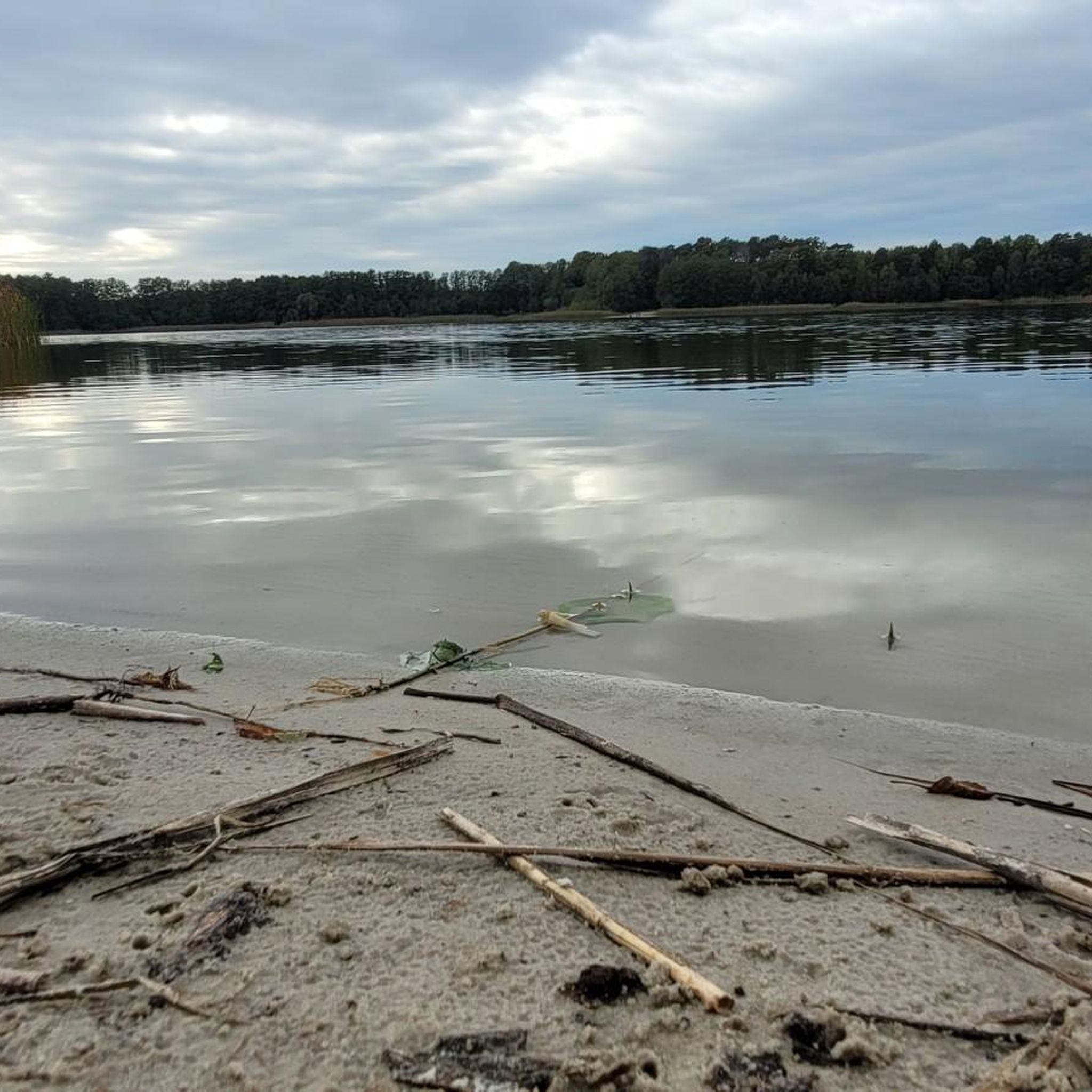
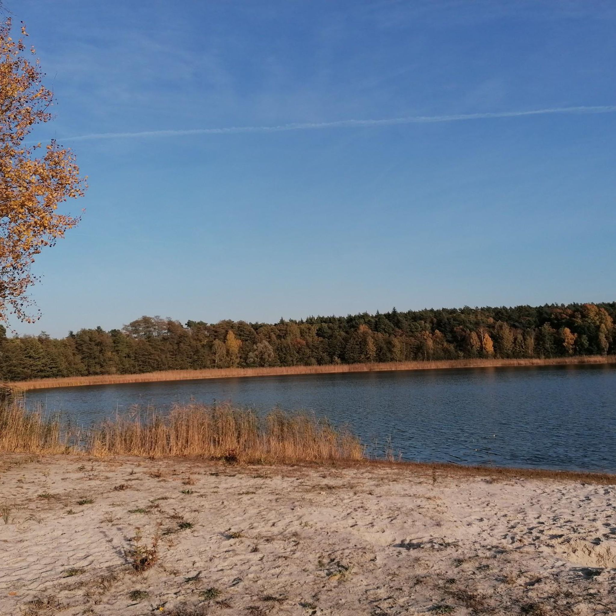
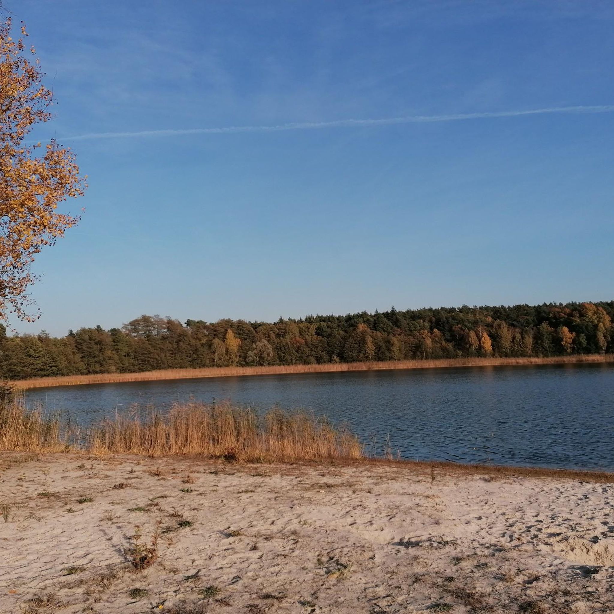
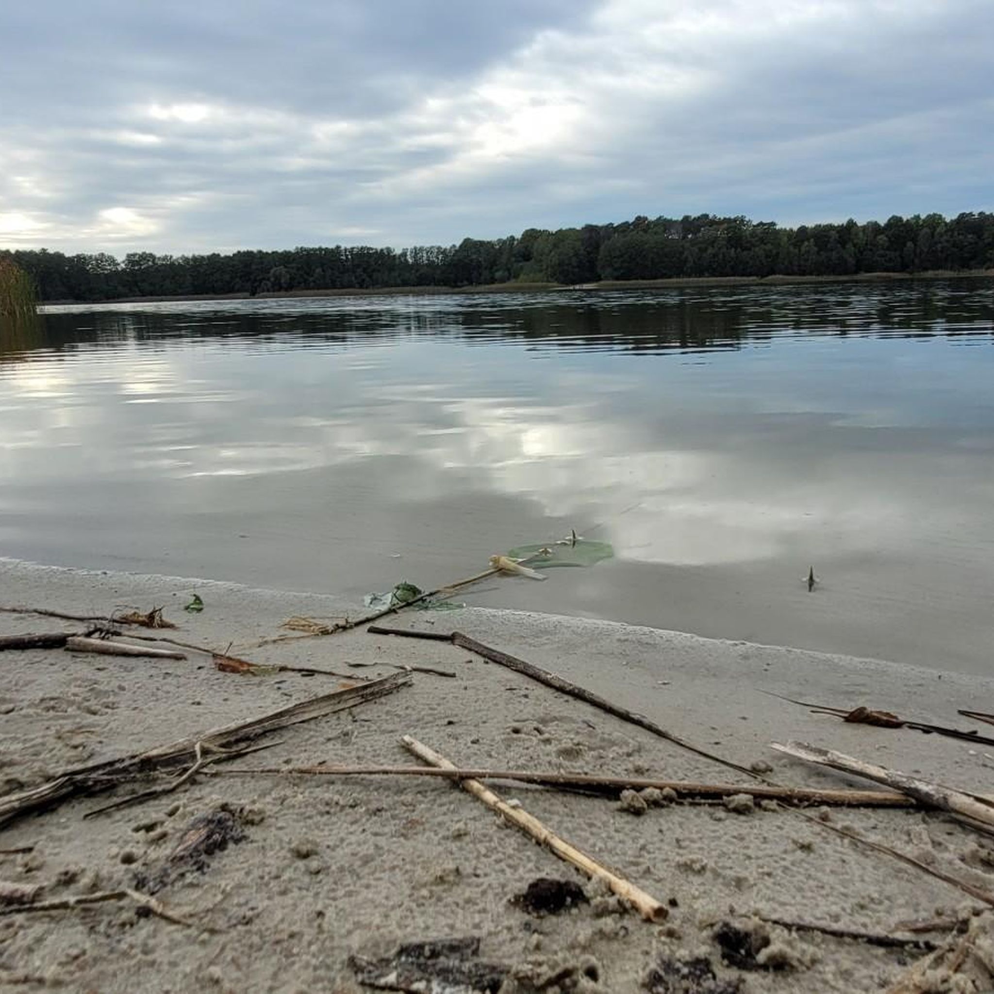
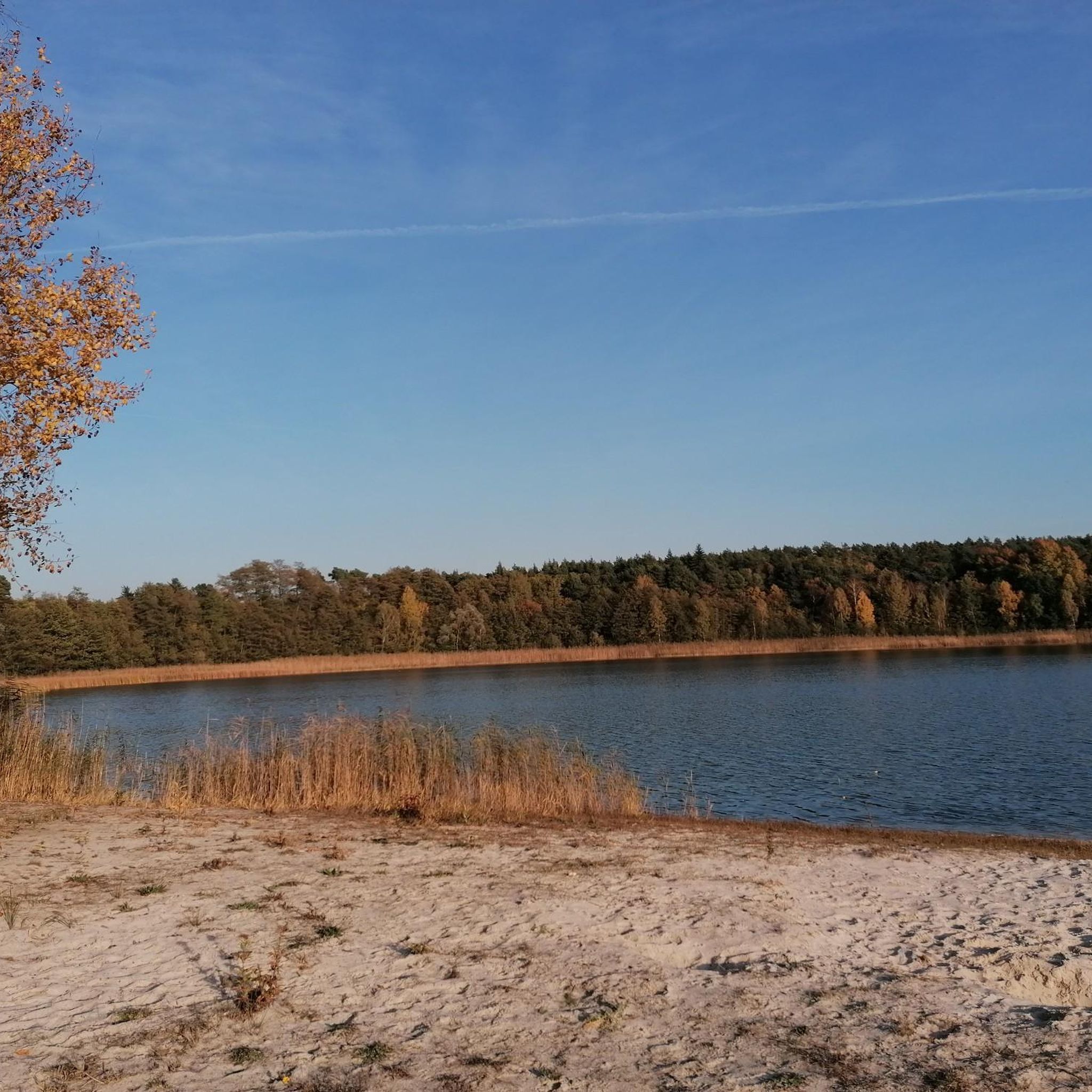
A nice spot to dive into the lake, which belongs to a chain of lakes. Two benches are available, and near the road there is also a covered seating area. Even a tent could be pitched here.
1
0

A nice little harbor, which is at least mostly more sheltered from the wind.
0
0

A great lake for swimming. Very clear water. The bike path along the western shore is mostly well-paved.
0
0

Beautiful view over the lake. However, access isn't so easy.
0
0

Well-paved roadside cycle path between Wendisch-Rietz and Dahmsdorf
0
0

Very nice cycle path in idyllic surroundings, highly recommended
0
0

Nice walk around the lake
0
0

There are numerous public bathing areas on Scharmützelsee, Storkower See and other forest lakes that invite you to swim, row or sail. If you are active in the summer, you should pack your bathing suit, as you can take a refreshing dip at all accessible places, and for fun regardless of the weather, the Schwapp leisure pool and the SaarowTherme offer relaxation and well-being.
2
0
Frequently Asked Questions
What kind of terrain can I expect on gravel bike trails around Großer Kolpiner Lake?
The terrain primarily consists of natural, unpaved paths, field tracks, and woodland trails. You'll find varied surfaces suitable for gravel bikes, with gentle hills and a focus on natural features rather than significant elevation changes. The routes often wind along picturesque lakeshores and through dense forests.
Are there easy gravel bike trails suitable for beginners or families?
Yes, there are options for easier rides. For instance, the Wendisch Rietz Moor Boardwalk – Lake Storkow loop from Storkow (Mark) is an easy 16.0 km trail that explores the natural surroundings between the lakes, taking about 1 hour 9 minutes to complete. This route is a good choice for those looking for a less challenging experience.
How many gravel bike trails are available in the Großer Kolpiner Lake area?
There are 7 gravel bike trails available around Großer Kolpiner Lake. These routes offer a mix of difficulties, with 2 easy trails and 5 more challenging options, ensuring there's something for various skill levels.
What are the natural features or viewpoints to look out for on these trails?
The area is characterized by its forested shores and a rich lake landscape. You'll encounter serene views of Großer Kolpiner Lake itself, as well as nearby bodies of water like Kleiner Kolpiner See, Scharmützelsee, and Großer Storkower See. The trails often lead through dense forests, offering tranquil natural environments and scenic lake vistas.
Are there any longer, more challenging gravel bike routes for experienced riders?
Absolutely. For a more extensive ride, consider the Lake Scharmützelsee – Great Glubig Lake loop from Bad Saarow. This difficult 81.2 km path offers an extensive ride through the lake district, connecting several water bodies. Another challenging option is the Great Glubig Lake – Lake Scharmützelsee loop from Bad Saarow, a 64.6 km trail through forested areas and along lake shores.
What do other gravel bikers say about the routes around Großer Kolpiner Lake?
The routes in Großer Kolpiner Lake are highly rated by the komoot community, with an average score of 4.5 stars from over 20 reviews. Riders often praise the tranquil forested surroundings, the picturesque lake scenery, and the varied unpaved paths that make for an engaging gravel biking experience.
Are there circular gravel bike routes available?
Yes, many of the gravel bike routes in the area are designed as loops. For example, the Wendisch Rietz Moor Boardwalk – Lake Storkow loop from Storkow (Mark) and the Wendisch Rietz Moor Boardwalk – Binnendüne Waltersberge loop from Hubertushöhe are both circular trails, allowing you to start and end at the same point.
Can I bring my dog on the gravel bike trails?
While specific regulations for dogs on every trail can vary, the natural, forested environment around Großer Kolpiner Lake generally welcomes dogs, especially on leash. It's always recommended to check local signage for any specific restrictions in nature reserves or protected areas you might pass through.
What is the best time of year for gravel biking around Großer Kolpiner Lake?
The Brandenburg Lake District is beautiful throughout the warmer months, from spring to autumn, when the forests are lush and the lakes are inviting. Spring offers blooming nature, while autumn provides stunning foliage. Summer is also popular, but trails might be busier. Winter conditions can vary, with potential for snow or ice, so check local weather before planning a ride during colder months.
Are there any options for public transport to access the gravel bike trails?
The region around Großer Kolpiner Lake is part of the Brandenburg Lake District, which has some public transport connections. Towns like Storkow (Mark) and Bad Saarow, which are starting points for several routes, are typically accessible by regional trains or buses. It's advisable to check specific train and bus schedules for bike transport options when planning your trip.
Where can I find parking for gravel biking near Großer Kolpiner Lake?
Parking is generally available in the towns and villages surrounding Großer Kolpiner Lake, such as Storkow (Mark) or Bad Saarow, which serve as common starting points for many routes. Look for designated parking areas near trailheads or local amenities. Specific parking information for individual routes can often be found on their respective komoot tour pages.
Are there any cafes or pubs along the gravel bike routes for a break?
While the immediate vicinity of Großer Kolpiner Lake is largely natural and tranquil, the broader Brandenburg Lake District, especially around larger lakes like Scharmützelsee and in towns like Storkow (Mark) or Bad Saarow, offers various cafes, restaurants, and pubs where you can take a break and refuel. Plan your route to pass through these areas if you wish to include a stop.
What is the total elevation gain typically encountered on these gravel trails?
The Großer Kolpiner Lake area is characterized by gentle hills rather than significant elevation changes. For example, an easy 16.0 km route like the Wendisch Rietz Moor Boardwalk – Lake Storkow loop has an elevation gain of about 60 meters. Even longer, more difficult routes like the 81.2 km Lake Scharmützelsee – Great Glubig Lake loop typically feature around 250 meters of elevation gain, making the rides enjoyable without extreme climbs.
Most popular routes around Großer Kolpiner Lake

Get inspired with the komoot mobile app


Explore more
Browse the best Gravel rides in other regions.
