The best gravel rides around Mahndorfer Lake
4.4
(25)
130
riders
8
rides
Gravel biking around Mahndorfer Lake offers routes through a landscape characterized by lakes, river floodplains, and low-lying areas. The terrain is generally flat with minor elevation changes, providing accessible gravel biking opportunities. Routes often follow waterways like the Weser and Wümme, passing through open fields or light woodlands. The region also features moorland areas, contributing to a varied natural scenery for gravel bike trails.
Best gravel bike trails around Mahndorfer Lake
- The most popular gravel bike trail is Autobahn Gravel…
Last updated: July 2, 2026
4.0
(4)
12
riders
Moderate gravel ride. Good fitness required. Mostly paved surfaces. Suitable for all skill levels.
3.0
(1)
3
riders
Hard gravel ride. Good fitness required. You may need to push your bike for some segments of this route.

Sign up for free
4.4
(5)
9
riders
36.2km
02:06
110m
110m
Moderate gravel ride. Good fitness required. Mostly paved surfaces. Suitable for all skill levels.
4.0
(3)
9
riders
18.4km
01:00
20m
20m
Easy gravel ride. Great for any fitness level. Mostly paved surfaces. Suitable for all skill levels.
4.4
(5)
15
riders
Hard gravel ride. Good fitness required. You may need to push your bike for some segments of this route.
Get access to more routes and recommendations from other explorers.
Sign up for free
Already have an account?
Our route recommendations are based on thousands of hikes, rides, and runs completed by other people on komoot.
Start today with a free account
Your next adventure awaits.
Login or Signup
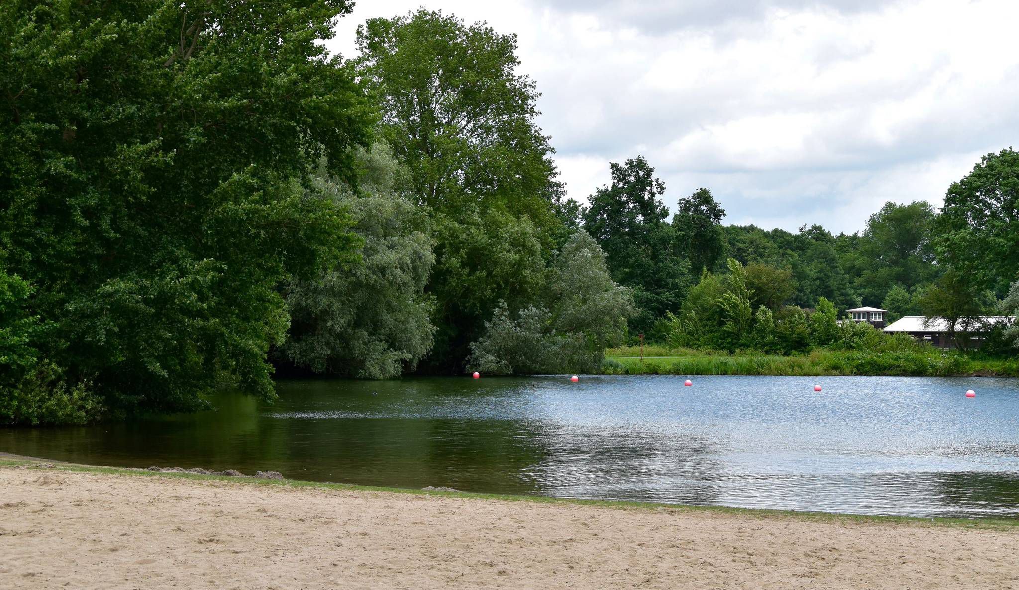
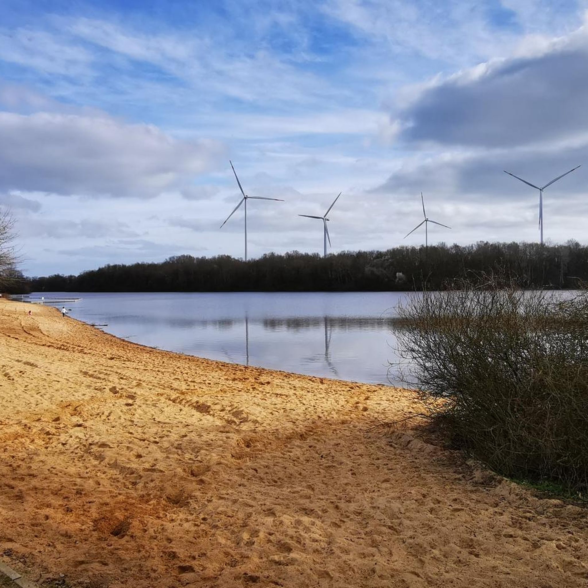
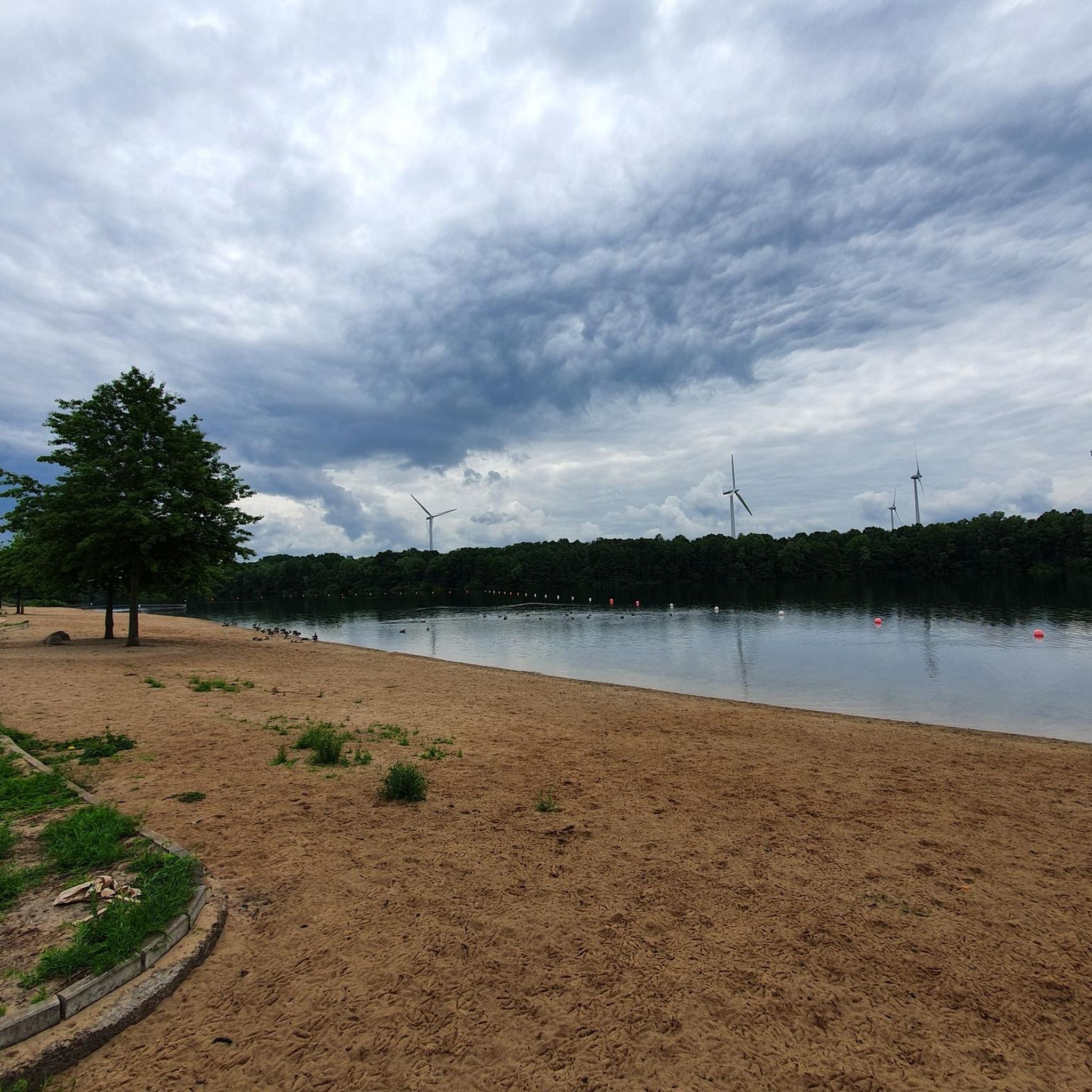
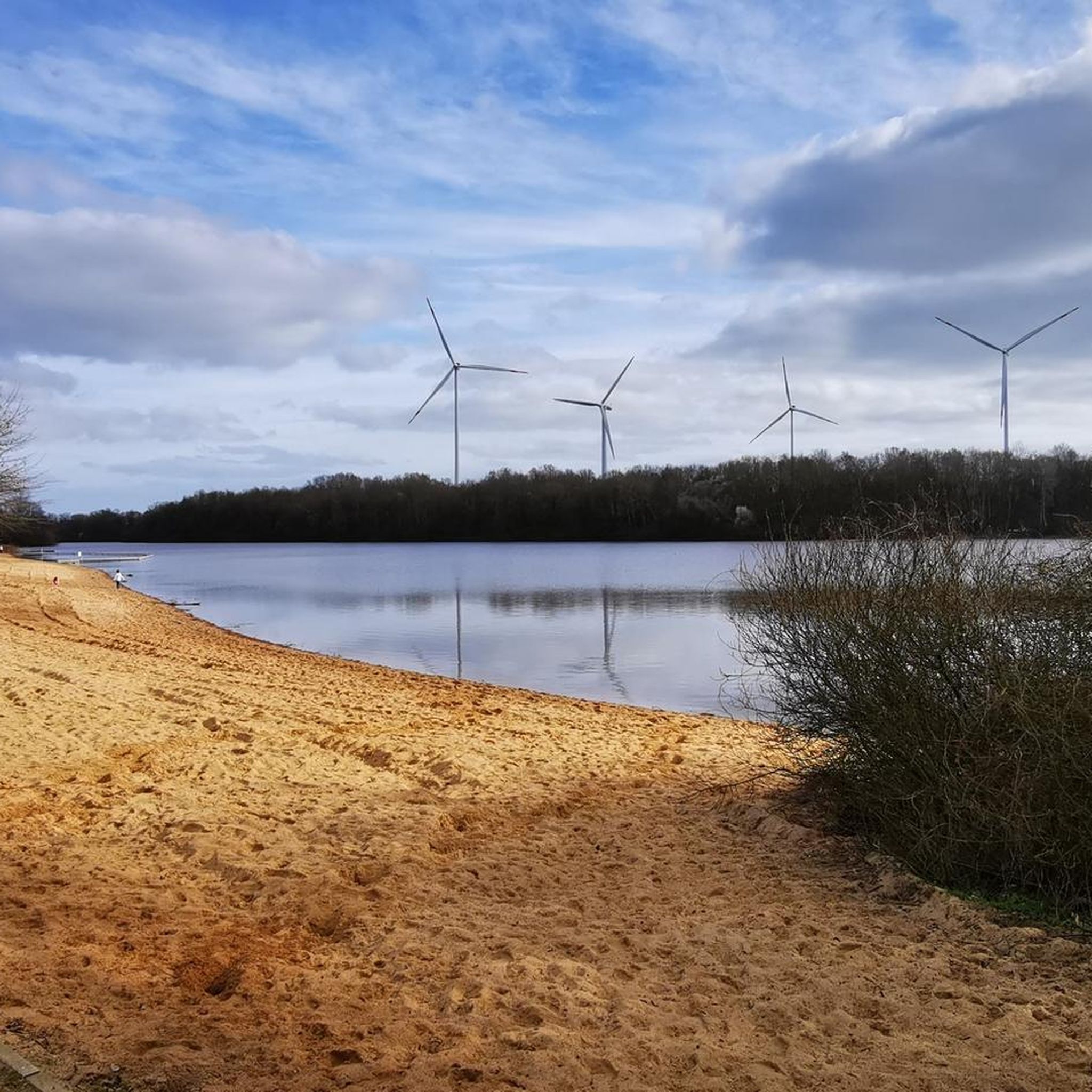
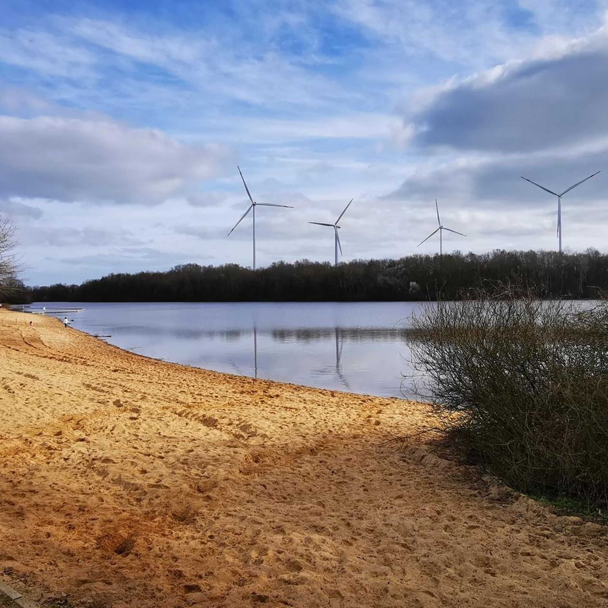
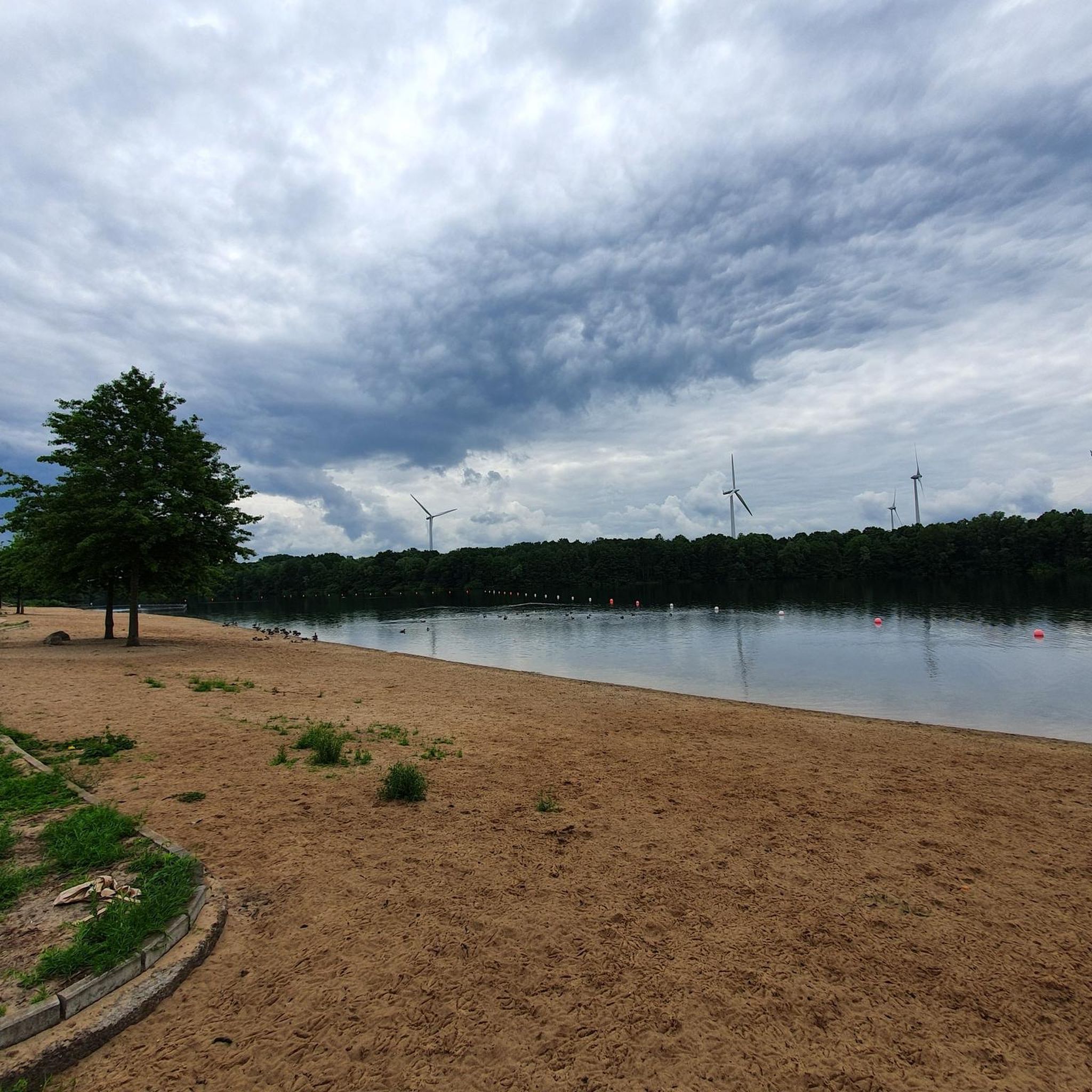
Other adventures around Mahndorfer Lake

Tips from the Community

Der Hohe Berg is a striking elevation (an „ambitious earth mound“) on the Via Baltica in the area of the Barrien – Harpstedt stage. Shortly after starting in Barrien, the path leads over the Der Hohe Berg (58.5m), where a wind farm is located and from this height, the pilgrim sees Bremen to the north. The section is part of the Westphalian stages, where pilgrims often walk on hard tarred roads, which is a strain on the joints.
0
0

The "Hohe Berg" (High Mountain) was certainly named with a wink. But since it is the highest elevation far and wide, and also has the observation tower, you have a fantastic panoramic view - in good weather, all the way to Bremen!
0
0

Great section along the Hamme River
1
0

Lake with waterskiing facility and kiosk
0
0
Lake with waterskiing facility and kiosk
0
0

Beautiful bathing lake near Oyten.
0
0

It is worth reading something about the history: https://de.wikipedia.org/wiki/Melchers_H%C3%BCtte
0
0

The Golthortweg trail from the "Wilde Geest zu Fuß" hiking series also runs along this area. All information about the trail can be found at the following link: https://www.wildegeest.de/wandern/20-wandertipps/goldhortweg/index.html (as of April 4, 2025).
1
0
Frequently Asked Questions
How many gravel bike trails are available around Mahndorfer Lake?
There are over 40 gravel bike trails in the Mahndorfer Lake region, offering a wide variety of options for different skill levels. This includes 14 easy, 16 moderate, and 12 difficult routes.
Are there any easy gravel bike routes suitable for beginners or families?
Yes, the region offers several easy routes perfect for beginners or family outings. One excellent option is the Achterdieksee – Ikensdamm Tree-Lined Avenue loop from Vahr, which is 11.4 miles (18.4 km) long and features minimal elevation gain, making it very accessible.
What kind of terrain can I expect on gravel bike trails near Mahndorfer Lake?
The terrain around Mahndorfer Lake is generally flat, characterized by lakeshores, river floodplains, and low-lying areas. You'll often find routes following waterways like the Weser, passing through open fields, and light woodlands. The region provides accessible gravel biking with minor elevation changes.
Are there any challenging or long-distance gravel routes for experienced riders?
Absolutely. For experienced riders seeking a longer challenge, the Weser Weir Bremen – Park on the Left Bank of the Weser loop from Bremen-Sebaldsbrück is a difficult 49.7 miles (80.0 km) path that explores the riverine landscape along the Weser.
Are there circular gravel bike routes around Mahndorfer Lake?
Many of the gravel bike routes in the Mahndorfer Lake area are designed as loops, allowing you to start and finish at the same point. For example, the Autobahn Gravel Lake near Oyten – Oyter Lake loop from Bremen-Hemelingen is a popular circular route that takes you around lakes and through open areas.
What is the best time of year to go gravel biking around Mahndorfer Lake?
The generally flat terrain and varied landscapes make gravel biking around Mahndorfer Lake enjoyable for much of the year. Spring and autumn offer pleasant temperatures and beautiful scenery, while summer is great for longer days. Even in winter, many routes remain accessible due to the low elevation, though conditions can be wet.
Are there any routes with good viewpoints or interesting landmarks?
While the region is generally flat, some routes offer unique perspectives. The Hohe Berg Observation Tower – View from Hoher Berg loop from Kirchweyhe is a 22.5 miles (36.2 km) trail that includes a minor hill, leading to the Hohe Berg Observation Tower, which provides a vantage point over the surrounding landscape.
What do other gravel bikers say about the routes in Mahndorfer Lake?
The routes in Mahndorfer Lake are highly regarded by the komoot community, with an impressive average rating of 4.6 stars from over 60 reviews. Riders often praise the accessible terrain, the scenic paths along lakes and rivers, and the variety of options for different skill levels.
Is public transport available to access the gravel trails?
Yes, the Mahndorfer Lake area is well-connected. Many starting points for gravel trails are accessible via public transport, particularly from Bremen. You can often reach trailheads by bus or tram, making it convenient to explore without a car.
Where can I find parking for gravel biking near Mahndorfer Lake?
Parking is generally available at various access points around Mahndorfer Lake and in nearby towns like Bremen-Hemelingen or Kirchweyhe, which serve as starting points for many routes. Specific parking information can often be found on individual route pages on komoot.
Are there cafes or places to stop for refreshments along the gravel trails?
Given the proximity to urban areas and the popularity of the lake, you'll find opportunities for refreshments. Many routes pass through or near small towns and villages where cafes, bakeries, or restaurants are available. Along the Weser, there are also often riverside establishments.
Most popular routes around Mahndorfer Lake

Get inspired with the komoot mobile app


Explore more
Browse the best Gravel rides in other regions.
