The best gravel rides around Sösetalsperre
4.6
(68)
359
riders
87
rides
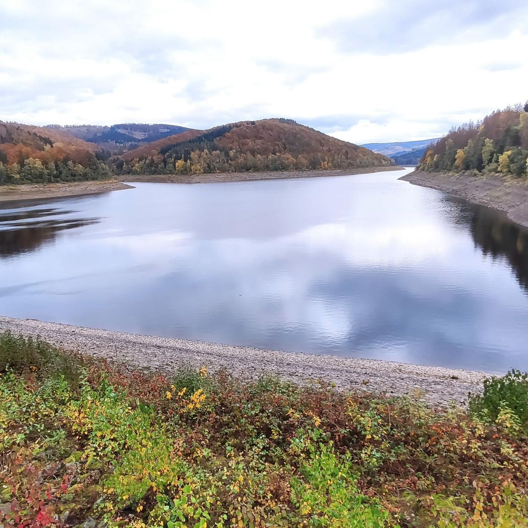
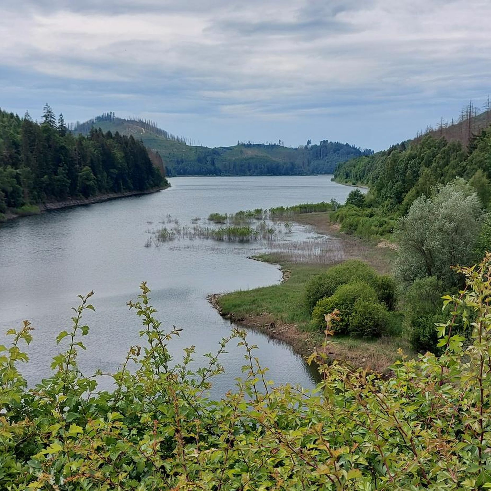
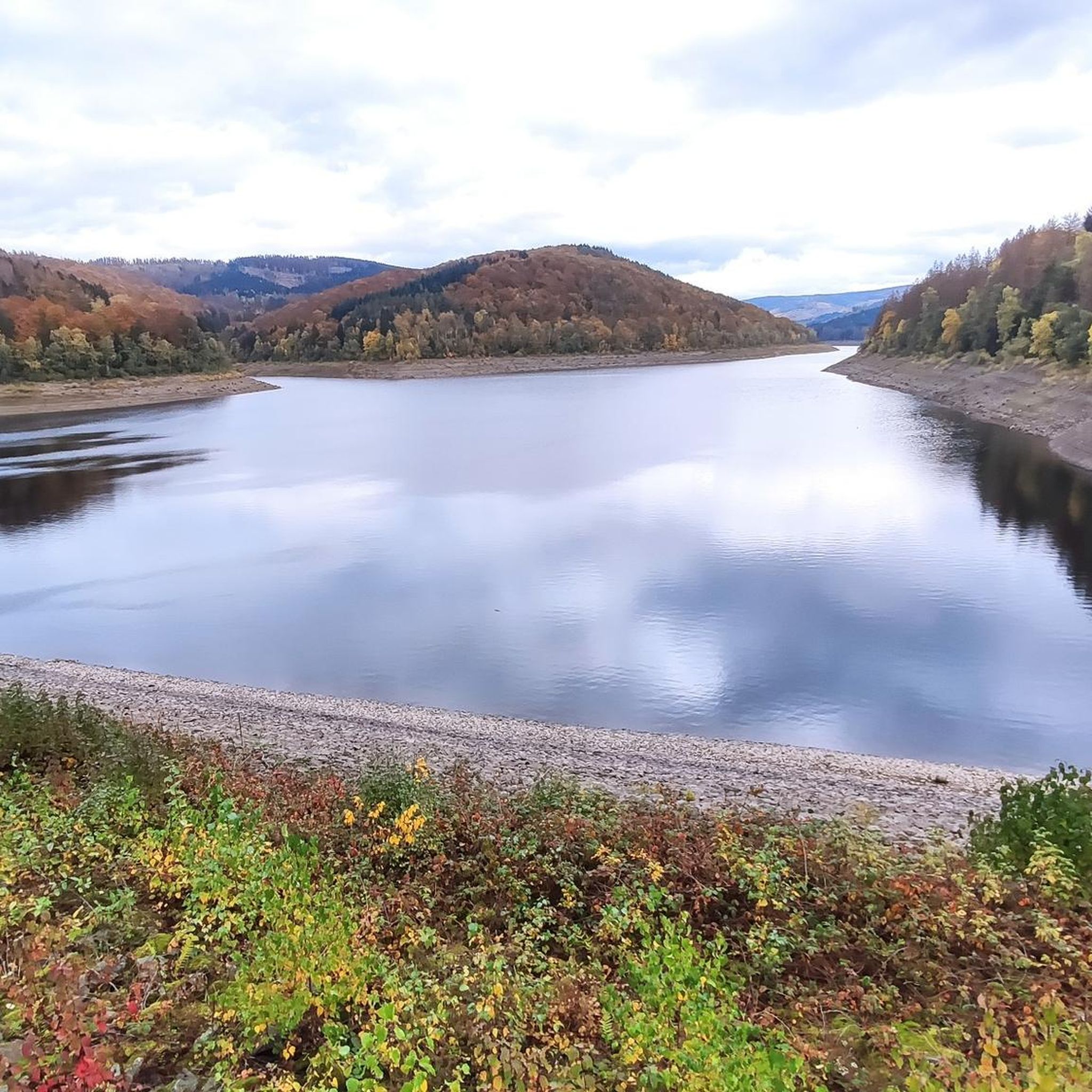
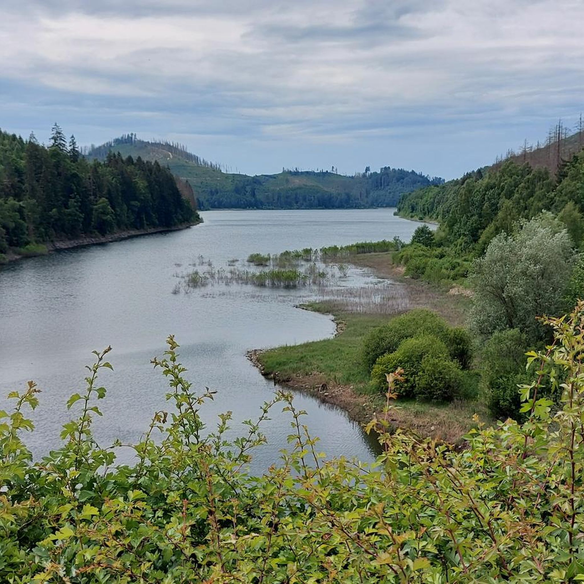
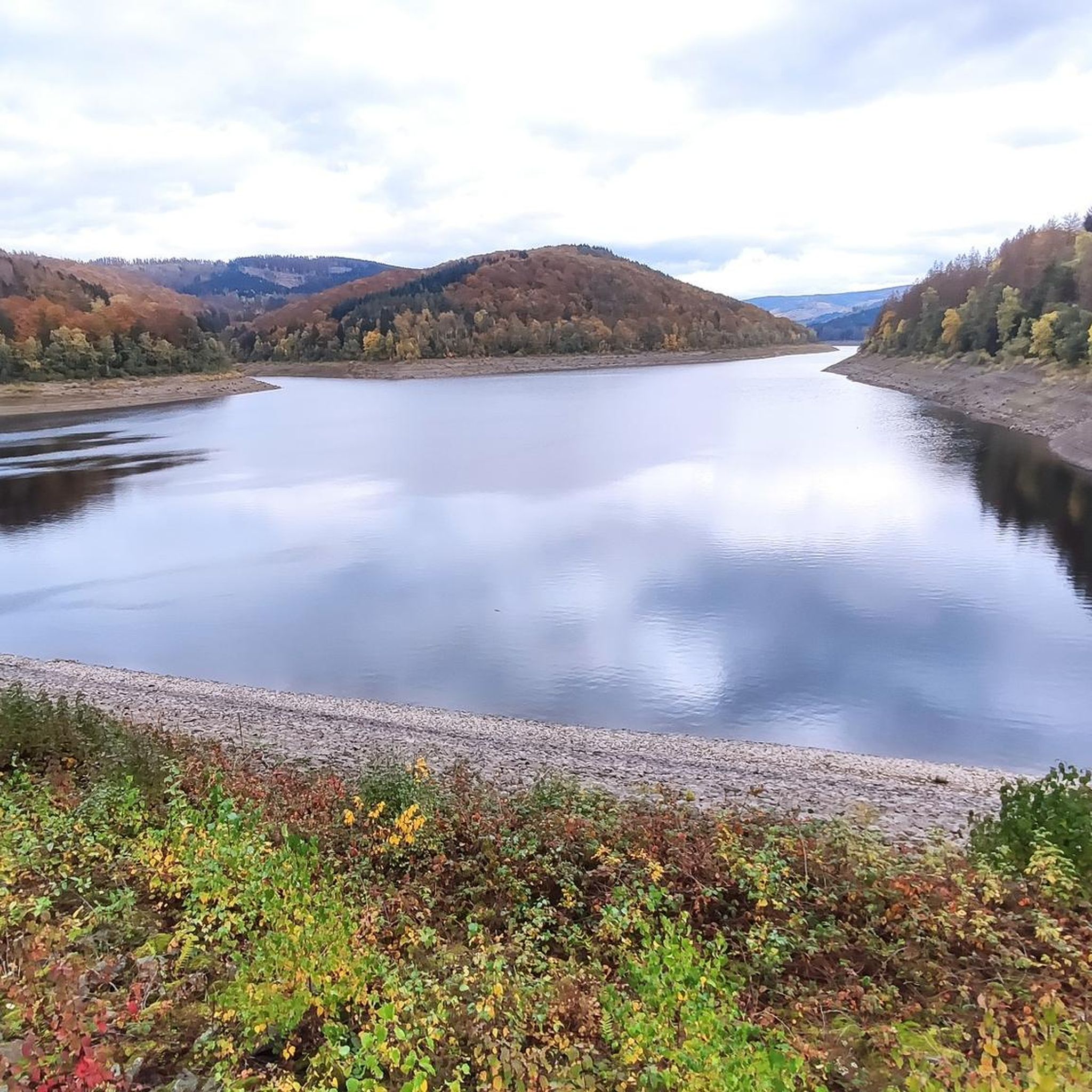
Gravel biking around Sösetalsperre offers a diverse landscape within the Harz region, characterized by its central reservoir, surrounding forests, and rolling hills. The area features a network of paths suitable for gravel bikes, ranging from lakeside tracks to routes that ascend into the higher elevations of the Harz. Terrain often includes compacted gravel, forest roads, and some paved sections connecting natural areas. The region's topography provides varied elevation profiles, from gentle gradients along water bodies to more challenging climbs.
Best…
Last updated: July 2, 2026
4.8
(12)
12
riders
53.5km
03:07
450m
450m
Moderate gravel ride. Good fitness required. Mostly paved surfaces. Suitable for all skill levels.
4.0
(1)
8
riders
Hard gravel ride. Very good fitness required. Mostly paved surfaces. Suitable for all skill levels.

Sign up for free
5.0
(1)
2
riders
Hard gravel ride. Very good fitness required. You may need to push your bike for some segments of this route.
2
riders
8.06km
00:34
160m
160m
Moderate gravel ride. Good fitness required. Mostly paved surfaces. Suitable for all skill levels.
7
riders
46.0km
03:09
760m
760m
Hard gravel ride. Very good fitness required. You may need to push your bike for some segments of this route.
Get access to more routes and recommendations from other explorers.
Sign up for free
Already have an account?
Our route recommendations are based on thousands of hikes, rides, and runs completed by other people on komoot.
Start today with a free account
Your next adventure awaits.
Login or Signup

Tips from the Community

Very beautiful large pond of 8ha size, also created in the 17th century.
0
0

Attention. The circuit around the Bärenteich is not possible and inevitably ends in a moor.
0
0

Perhaps in summer, after a long dry spell, you can get through the ford well. In any case, it wasn't possible at the end of February.
1
0
The Bleicherode–Herzberg railway line was a 41 km long, single-track, non-electrified branch line that served the eastern Eichsfeld and the Ohm Mountains. It connected the Halle–Hann. Münden railway line near Bleicherode with the South Harz line in Herzberg am Harz. It was mainly used for freight transport from several former potash mines, most recently in Bischofferode, and to a former lignite power plant in Rhumspringe. On the Lower Saxony side, the line has been almost completely converted into a cycle path. However, a section is missing in Rhumspringe, as two bridges were demolished beforehand, and the section between the Hilkerode halt and Zwinge station was also not converted due to a parallel field path. Source: https://de.wikipedia.org/wiki/Bahnstrecke_Bleicherode%E2%80%93Herzberg
1
0
Bench and table at Ochsenberg are suitable for watching sunsets.
1
0
An engineering marvel dating from 1536 to 1866, the Upper Harz Water Management System is considered one of the Harz Mountains' greatest attractions. It encompasses all the structures built to store water and transport it to mines, some of which are located far away. It is one of the largest and most significant historical water management systems in the world of mining. The Upper Harz Water Management System includes numerous reservoirs, kilometers of water channels, and underground waterways. Source: https://www.harz-travel.de/Regionales/Harz-Sehenswuerdigkeiten-Highlights/Oberharzer-Wasserregal/
1
0
The "Grüner Hirsch" (Green Stag) silver mine, belonging to the Burgstätter mining district and once located about 400 meters west of the Mittlerer Pfauenteich (Middle Peacock Pond), began operations in August 1645. It was one of the few, not particularly productive, ore mines in this mining area. This mine would probably have long since been forgotten if the pond, built around the same time and named after it, had not soon played a crucial role in mining near Clausthal. The exact date of the pond's construction has not been recorded, but it likely occurred at the same time as work began at the "Grüner Hirsch," or at least before 1660. In any case, a comprehensive document from 1661, which has survived to the present day, already lists the "Grüner Hirsch Pond" as part of the water supply for the Burgstätter main drainage system. Source: https://www.harzlife.de/teiche/hirschler-teich.html
1
0
The Upper Nassenwieser Pond – also known as the "Upper Nassewieser Pond" – is a historic reservoir in the Upper Harz Mountains. It belongs to a complex pre-industrial water management system and is located on the northwest slope of the Kehrzug massif, about two kilometers northeast of Buntenbock. The artificial body of water owes its name to its location in what was originally a marshy and inaccessible area on the upper reaches of the Innerste River. Source: https://www.harzlife.de/teiche/oberer-nassenwieser-teich.html
1
0
Frequently Asked Questions
Are there easy gravel bike routes around Sösetalsperre suitable for beginners?
Yes, Sösetalsperre offers a few easy gravel bike routes, perfect for beginners or those looking for a relaxed ride. These routes typically feature gentler gradients and well-maintained paths, often skirting the reservoir. While most routes are moderate to difficult, there are options to ease into gravel biking in the region.
What are the typical lengths and elevations of gravel bike trails in the Sösetalsperre area?
Gravel bike trails around Sösetalsperre vary significantly. You'll find routes ranging from around 20 miles (32 km) to over 40 miles (64 km). Elevation gains can also differ, from a few hundred meters on flatter reservoir-side paths to over 900 meters on more challenging routes that ascend into the Harz hills, such as the Bärenbrucher Pond (HWN 137) – Ziegenberger Pond loop from Osterode am Harz.
Where can I find parking for gravel biking around Sösetalsperre?
There are several parking options available. A convenient spot is the Söse Reservoir Parking Lot, which provides direct access to trails around the reservoir. Other starting points in nearby towns like Lerbach or Osterode am Harz also offer parking facilities, often near the beginning of popular routes.
Are there any family-friendly gravel bike trails near Sösetalsperre?
While many routes involve moderate to difficult sections, some parts of the trails directly around the Sösetalsperre reservoir are flatter and more suitable for families with older children or those comfortable with longer distances. Look for routes with minimal elevation gain and compacted gravel surfaces.
What kind of challenging gravel biking routes are available for advanced riders?
Advanced gravel bikers will find plenty of challenging routes with significant elevation changes and varied terrain. Trails like the Pastorenweg singletrack – Oderparksee loop from Lerbach offer difficult sections, including singletrack, and substantial climbs. The region's topography, with its rolling hills and forest roads, provides ample opportunity for demanding rides.
What is the best season for gravel biking around Sösetalsperre?
The best seasons for gravel biking around Sösetalsperre are typically spring, summer, and early autumn. Spring offers lush greenery and blooming landscapes, while summer provides warm weather. Early autumn brings vibrant fall colors and generally stable conditions. Winter can be challenging due to snow and ice, especially on higher elevation trails.
Are there cafes or places to eat along the gravel trails?
While some routes pass through or near small towns like Lerbach or Osterode am Harz where you can find cafes and restaurants, many sections of the trails, especially those deep in the forest or directly around the reservoir, are more remote. It's advisable to carry sufficient water and snacks, and plan your stops in advance.
What are some scenic viewpoints or attractions to see along the gravel bike routes?
The Sösetalsperre region is rich in scenic spots. You can enjoy panoramic views from the Viewpoint at the Sösetalsperre or the View of the Sösetalsperre from the south shore. The Sösetal dam itself is an impressive sight. Routes also lead through dense woodlands and past other natural features of the Harz region.
Are there circular gravel bike routes available around Sösetalsperre?
Yes, many of the gravel bike routes in the Sösetalsperre area are designed as loops, allowing you to start and end at the same point. For example, the Hanskühnenburg (HWN 144) – Sösetalsperre Dam loop from Osterode (Harz) Leege is a popular circular option that takes you through forested areas and past the dam.
How can I access the Sösetalsperre gravel biking trails using public transport?
The Sösetalsperre region is accessible by public transport, primarily through bus connections from larger towns like Osterode am Harz. Osterode am Harz has a train station, making it a potential hub for reaching the area. From there, local buses can take you closer to the reservoir or specific trailheads. Always check current schedules and bike transport policies with local operators.
What should I bring for gravel biking in Sösetalsperre?
Given the varied terrain and potential for remote sections, it's recommended to bring a well-maintained gravel bike, appropriate cycling attire, a helmet, sufficient water and snacks, a repair kit (including spare tubes/patch kit), a first-aid kit, and navigation tools (like a GPS device or a fully charged phone with offline maps). Weather can change quickly in the Harz, so layers are advisable.
What do other gravel bikers enjoy most about the Sösetalsperre region?
The Sösetalsperre area is highly rated by the komoot community, with an average score of 4.7 stars. Reviewers often praise the diverse landscape, which combines reservoir-side paths with dense woodlands and the rolling hills of the Harz. Many appreciate the well-maintained gravel and forest roads, as well as the expansive views, particularly on routes like the Welfenschloss Herzberg – View of the Harz and Eichsfeld loop from Lerbach.
Most popular routes around Sösetalsperre
Most popular attractions around Sösetalsperre

Get inspired with the komoot mobile app


Explore more
Browse the best Gravel rides in other regions.
