The best gravel rides around Glingebachtalsperre
4.5
(5)
52
riders
12
rides
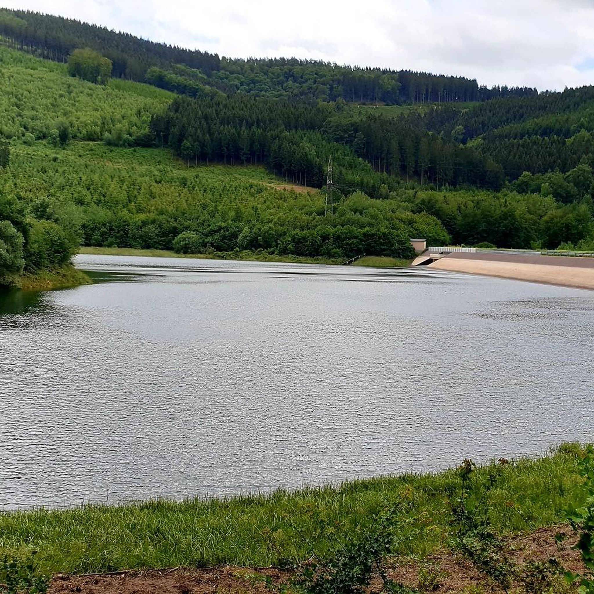
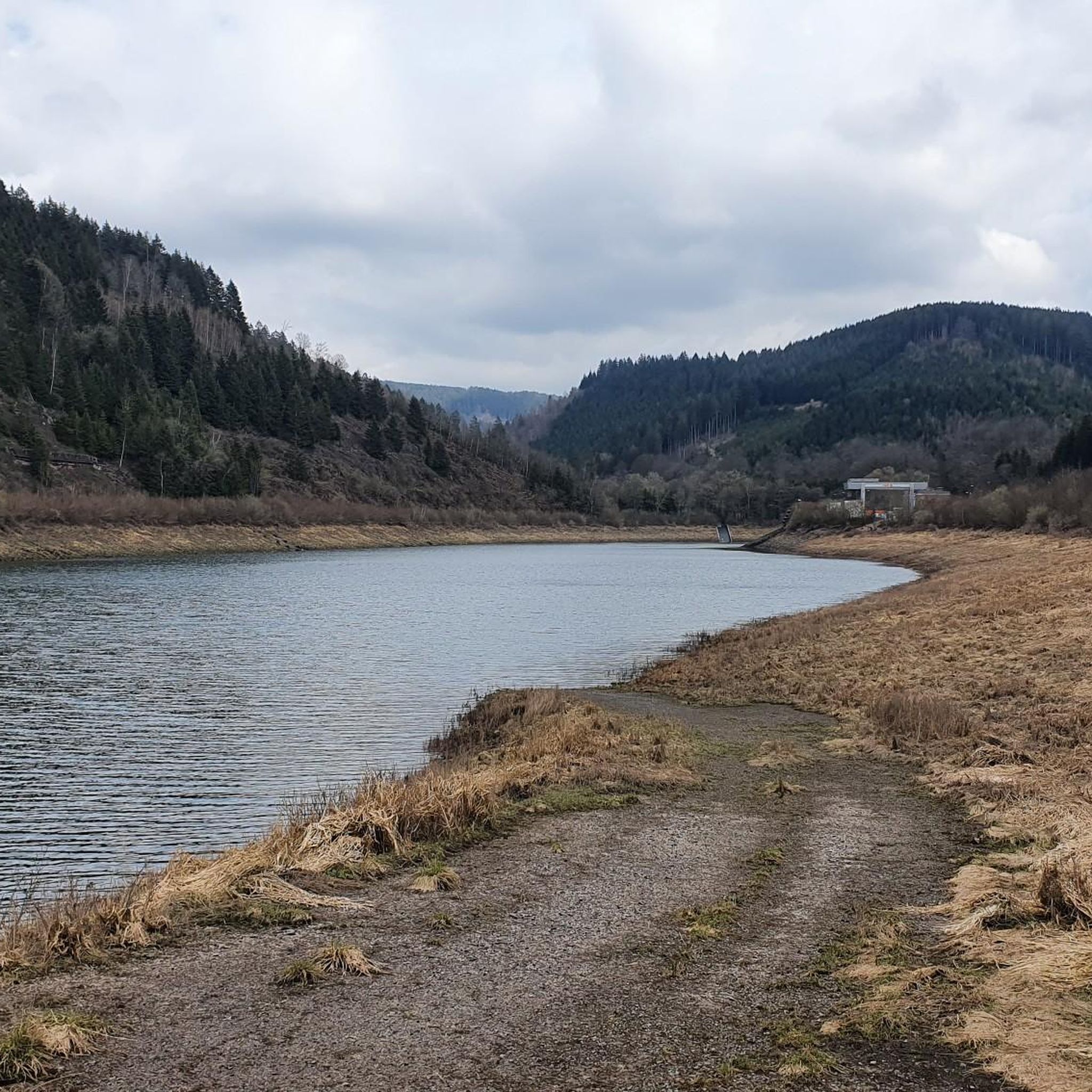
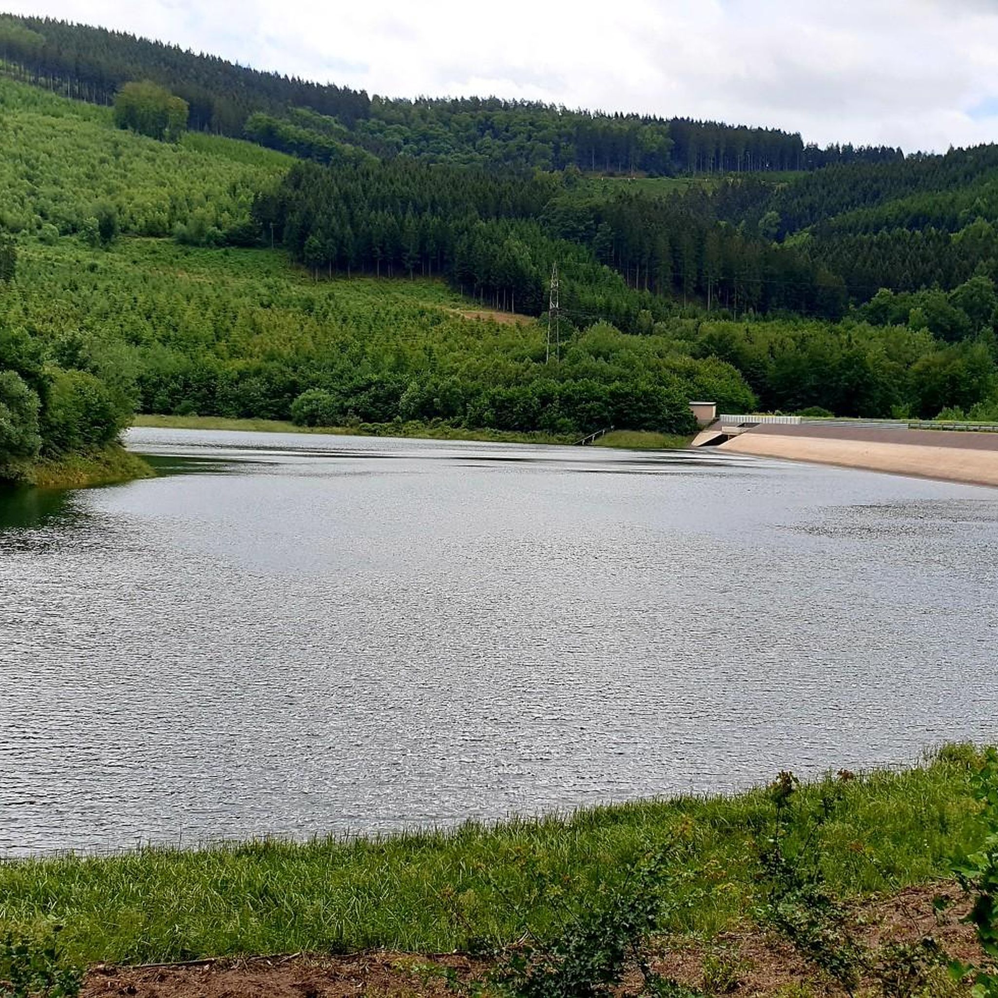
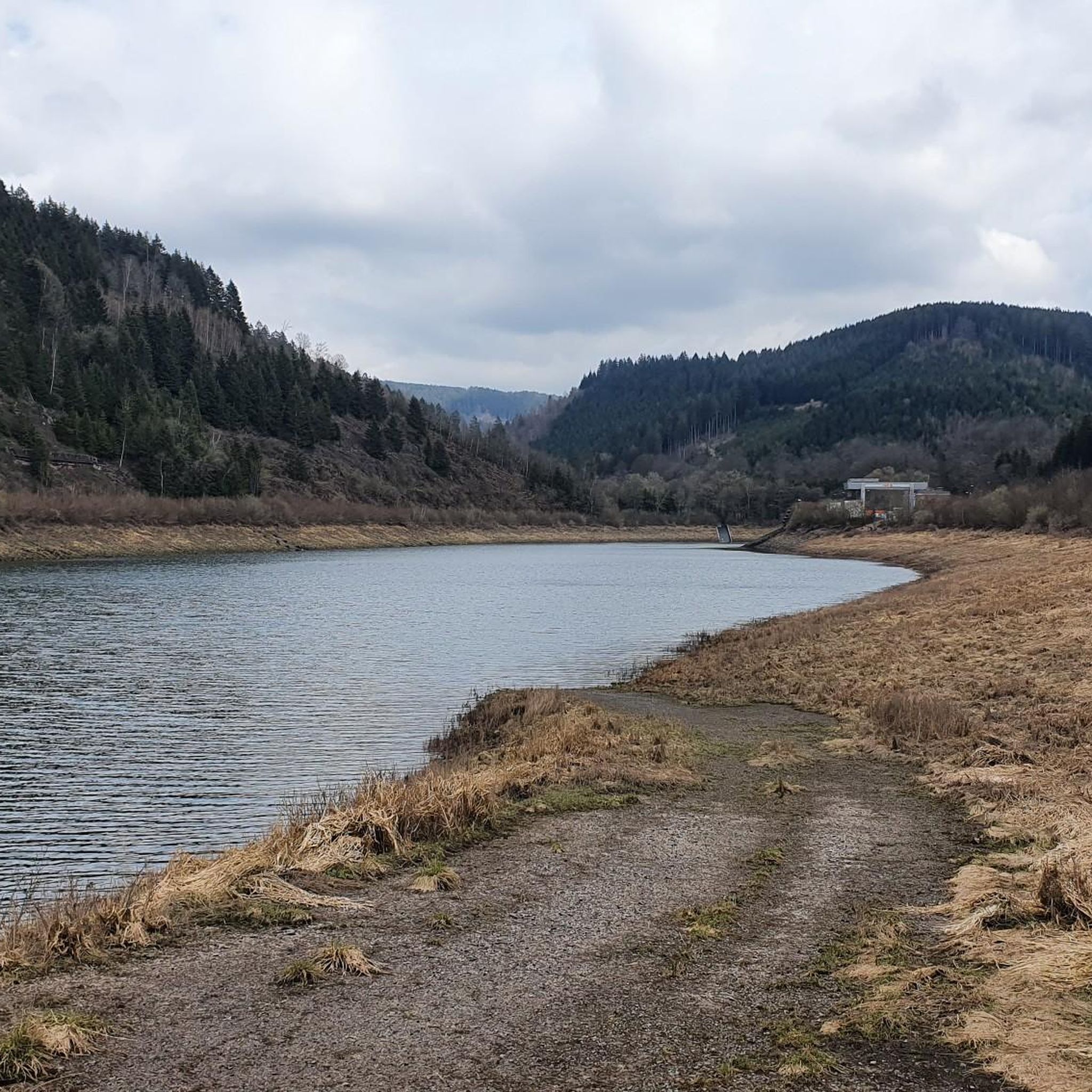
Gravel bike trails around Glingebachtalsperre are situated within Germany's Sauerland region, characterized by its reservoir, the Glinge Dam, and extensive forested landscapes. The terrain features undulating hills, offering both challenging ascents and rewarding descents for cyclists. This area provides a diverse network of paths, allowing riders to explore established routes and natural features. The landscape combines tranquil waterside views with shaded woodland trails.
Best gravel bike trails around Glingebachtalsperre
- The most popular gravel bike trail is View of Wildewiese –…
Last updated: July 2, 2026
4
riders
40.0km
03:02
920m
920m
Hard gravel ride. Very good fitness required. Mostly paved surfaces. Suitable for all skill levels.
Hard gravel ride. Very good fitness required. You may need to push your bike for some segments of this route.

Sign up for free
5.0
(1)
1
riders
19.3km
01:21
460m
460m
Hard gravel ride. Very good fitness required. Mostly paved surfaces. Suitable for all skill levels.
1
riders
28.1km
01:50
510m
510m
Hard gravel ride. Very good fitness required. Mostly paved surfaces. Suitable for all skill levels.
2
riders
20.3km
01:17
310m
310m
Moderate gravel ride. Good fitness required. Mostly paved surfaces. Suitable for all skill levels.
Get access to more routes and recommendations from other explorers.
Sign up for free
Already have an account?
Our route recommendations are based on thousands of hikes, rides, and runs completed by other people on komoot.
Start today with a free account
Your next adventure awaits.
Login or Signup
Tips from the Community

great view, has something of a vacation
0
0

A beautiful large bench with a great view.
1
0

Added to the collection: https://www.komoot.com/de-de/collection/3600632/-naturdenkmaeler-besondere-baeume-und-weitere-schaetze-der-natur
1
0


A recently constructed selfie swing for Instagrammable photos
0
0

Good descent and shortcut, I pushed the tree trunks aside :)
0
0

wonderfully quiet and green meadows
0
0
Frequently Asked Questions
How many gravel bike trails are available around Glingebachtalsperre?
There are 13 gravel bike trails recorded around Glingebachtalsperre on komoot. These routes offer a diverse range of experiences, from moderate to difficult, catering to various skill levels.
What kind of terrain and difficulty can I expect on the gravel bike trails?
The terrain around Glingebachtalsperre is characterized by the Sauerland's undulating hills, extensive forests, and views of the Glinge Dam and reservoir. You can expect a mix of challenging ascents and rewarding descents. Most routes are rated as difficult (11 out of 13), with a few moderate options available.
Are there any notable viewpoints or natural features along the trails?
Yes, the region offers several scenic highlights. The Glinge Dam and its reservoir are central features, providing tranquil waterside views. The extensive forests of the Sauerland offer shaded routes and a sense of immersion in nature. Some routes, like the View of the Sorpesee – Lake Sorpesee loop from Papenloh, even offer distant views of Lake Sorpesee.
Where can I park my car when visiting the Glingebachtalsperre for gravel biking?
While specific parking locations are not detailed in the route descriptions, many trails start from villages or accessible points like Müggenohl or Papenloh. It is advisable to check the starting point of your chosen route on komoot for potential parking information or local signage upon arrival.
Can I reach Glingebachtalsperre by public transport with my bike?
Public transport options directly to Glingebachtalsperre with bike carriage can be limited. It's best to research local bus or train services in the Sauerland region and their policies regarding bicycle transport. Often, reaching a nearby town by public transport and cycling the rest of the way is a viable option.
What is the best season for gravel biking around Glingebachtalsperre?
The spring, summer, and early autumn months generally offer the best conditions for gravel biking around Glingebachtalsperre. During these seasons, the weather is typically milder, and the forested trails are particularly scenic. Winter can bring snow and ice, making some routes challenging or impassable.
Are there any family-friendly gravel bike routes in the area?
While many routes are rated as difficult, there are a couple of moderate options that might be more suitable for families with older children or those seeking a less strenuous ride. For example, the Ödenberg Station Shelter – View of the Sauerland countryside loop from Papenloh is a moderate 20.8 km route with manageable elevation.
Can I bring my dog on the gravel bike trails around Glingebachtalsperre?
Many natural trails in the Sauerland region are dog-friendly, provided dogs are kept on a leash, especially in forested areas or near wildlife. It's always recommended to check local regulations and be mindful of other trail users and potential livestock. Ensure your dog is fit enough for the chosen route's distance and elevation.
Are there circular gravel bike routes available?
Yes, all the gravel bike routes listed for Glingebachtalsperre are circular loops. This means you will start and end at the same point, making logistics easier. Examples include the Schomberg Tower – Wildewiese Steinberg loop from Papenloh and the View of Wildewiese – Wildewiese Viewpoint loop from Müggenohl.
What do other gravel bikers enjoy most about the trails in Glingebachtalsperre?
The area is highly rated by the komoot community, with an average score of 4.0 stars from 4 reviews. Reviewers often praise the varied terrain, the scenic views of the reservoir, and the immersive experience of cycling through the extensive Sauerland forests. The challenging ascents and rewarding descents are also frequently highlighted.
Are there any cafes or accommodation options near the gravel bike trails?
The Glingebachtalsperre region, being part of the Sauerland, has various small towns and villages nearby that offer cafes, restaurants, and guesthouses. While not directly on every trail, you can find options in places like Papenloh or other communities within a short cycling distance, perfect for a post-ride refreshment or an overnight stay.
What makes Glingebachtalsperre unique for gravel biking compared to other regions?
Glingebachtalsperre offers a unique blend of tranquil waterside scenery from the Glinge Dam and reservoir, combined with the rugged, hilly terrain and dense forests characteristic of the Sauerland. This provides a dynamic and engaging gravel biking experience, allowing riders to explore both established routes and discover hidden corners within a picturesque natural setting.
Are there any longer, more challenging gravel routes for experienced riders?
Absolutely. For experienced riders seeking a significant challenge, the View of Wildewiese – Wildewiese Viewpoint loop from Müggenohl is a difficult 39.96 km trail with over 900 meters of elevation gain, offering a demanding ride through the Sauerland's hilly terrain.
Most popular routes around Glingebachtalsperre

Get inspired with the komoot mobile app


Explore more
Browse the best Gravel rides in other regions.
