The best gravel rides around Aabachstausee
4.8
(6)
65
riders
19
rides
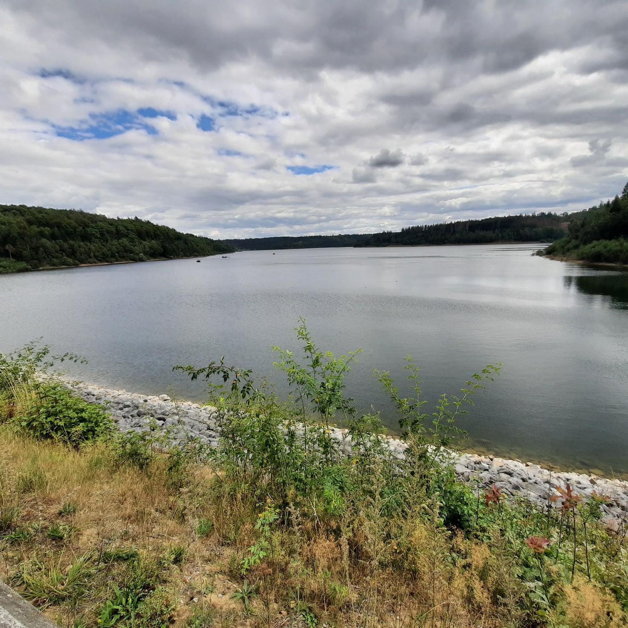
Gravel biking around Aabachstausee offers diverse landscapes centered around an artificial lake in North Rhine-Westphalia, Germany. The region features well-maintained paths, extensive forest landscapes, and varied valleys of tributary streams. Terrain includes both flat, paved sections around the lake and unpaved roads and trails suitable for gravel cycling. Hills within the Natural Park Diemelsee reach up to 1,650 feet (503 meters), providing varied topography.
Best gravel bike trails around Aabachstausee
- The most popular gravel bike trail is Jesuit Church, Büren – Keddinghäuser Lake loop from Bleiwäsche, a 26.4 miles (42.5 km) trail that takes 2 hours 28 minutes to complete. This route connects historical landmarks with natural lake scenery.
- Another top favourite among local gravel bikers is Aabach Reservoir – Aabach Reservoir loop from Bad Wünnenberg, a moderate 18.5 miles (29.8 km) path. This route offers views around the reservoir.
- Local gravel bikers also love the Aabach Reservoir – Blankenroder Bleikuhlen Nature Reserve loop from Bad Wünnenberg, a 33.2 miles (53.4 km) trail leading through the Aabach Reservoir area and a nature reserve, often completed in about 3 hours 31 minutes.
- Gravel biking around Aabachstausee is defined by its artificial lake, extensive forest landscapes, and varied valleys. The network offers options for different ability levels, from accessible lakeside loops to more challenging routes through natural parks.
- The routes in Aabachstausee are highly rated by the komoot community with an average score of 4.8 stars from over 6 reviews. More than 60 gravel bikers have used komoot to explore Aabachstausee's varied terrain.
Last updated: May 21, 2026
4.3
(3)
32
riders
42.5km
02:28
380m
380m
Moderate gravel ride. Good fitness required. Mostly paved surfaces. Suitable for all skill levels.
2
riders
29.8km
01:59
360m
360m
Moderate gravel ride. Good fitness required. Mostly paved surfaces. Suitable for all skill levels.

Sign up for free
2
riders
Hard gravel ride. Very good fitness required. Mostly paved surfaces. Suitable for all skill levels.
5.0
(1)
16
riders
Hard gravel ride. Very good fitness required. Mostly paved surfaces. Suitable for all skill levels.
5
riders
Moderate gravel ride. Good fitness required. Mostly paved surfaces. Suitable for all skill levels.
Get access to more routes and recommendations from other explorers.
Sign up for free
Already have an account?
Our route recommendations are based on thousands of hikes, rides, and runs completed by other people on komoot.
Start today with a free account
Your next adventure awaits.
Login or Signup
Tips from the Community

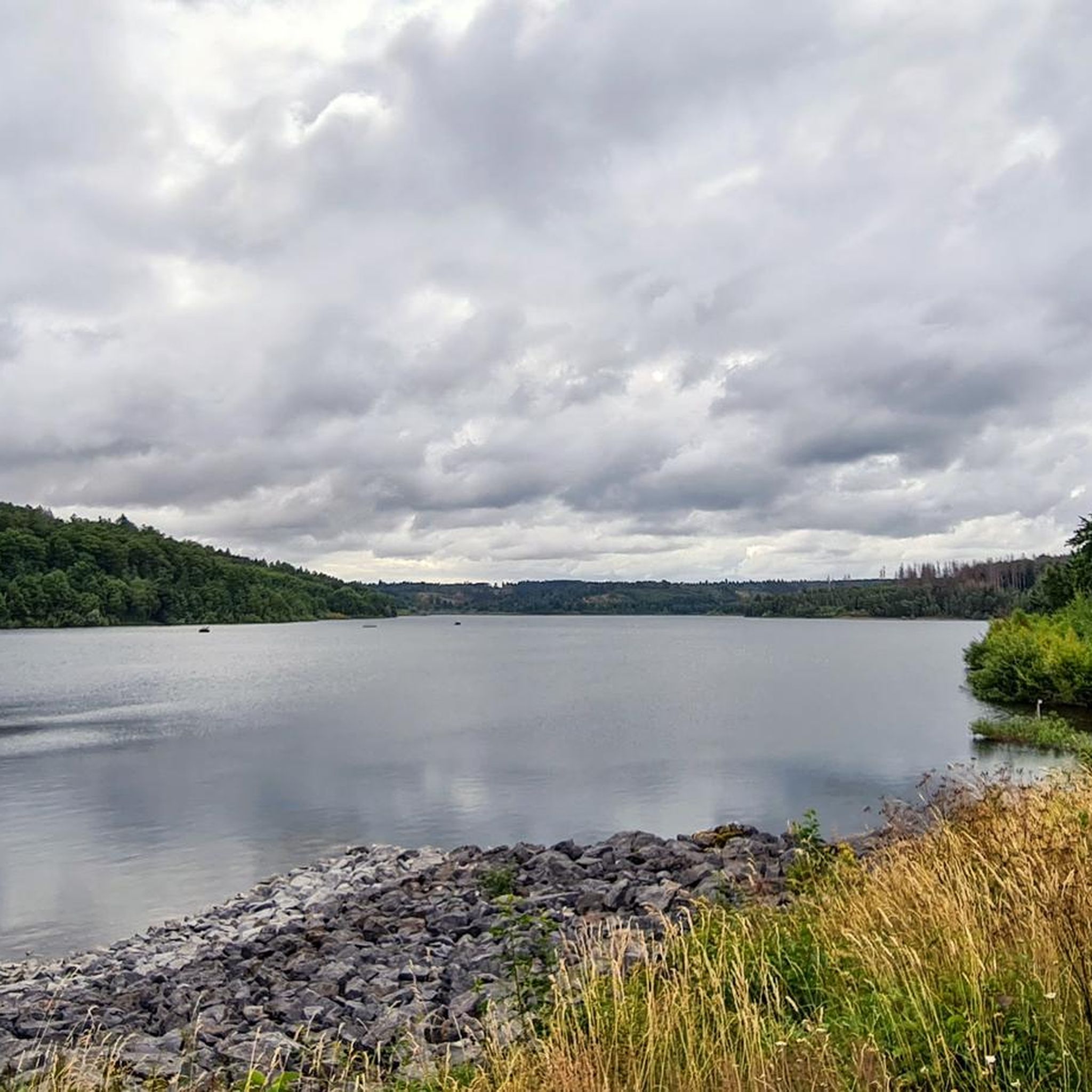
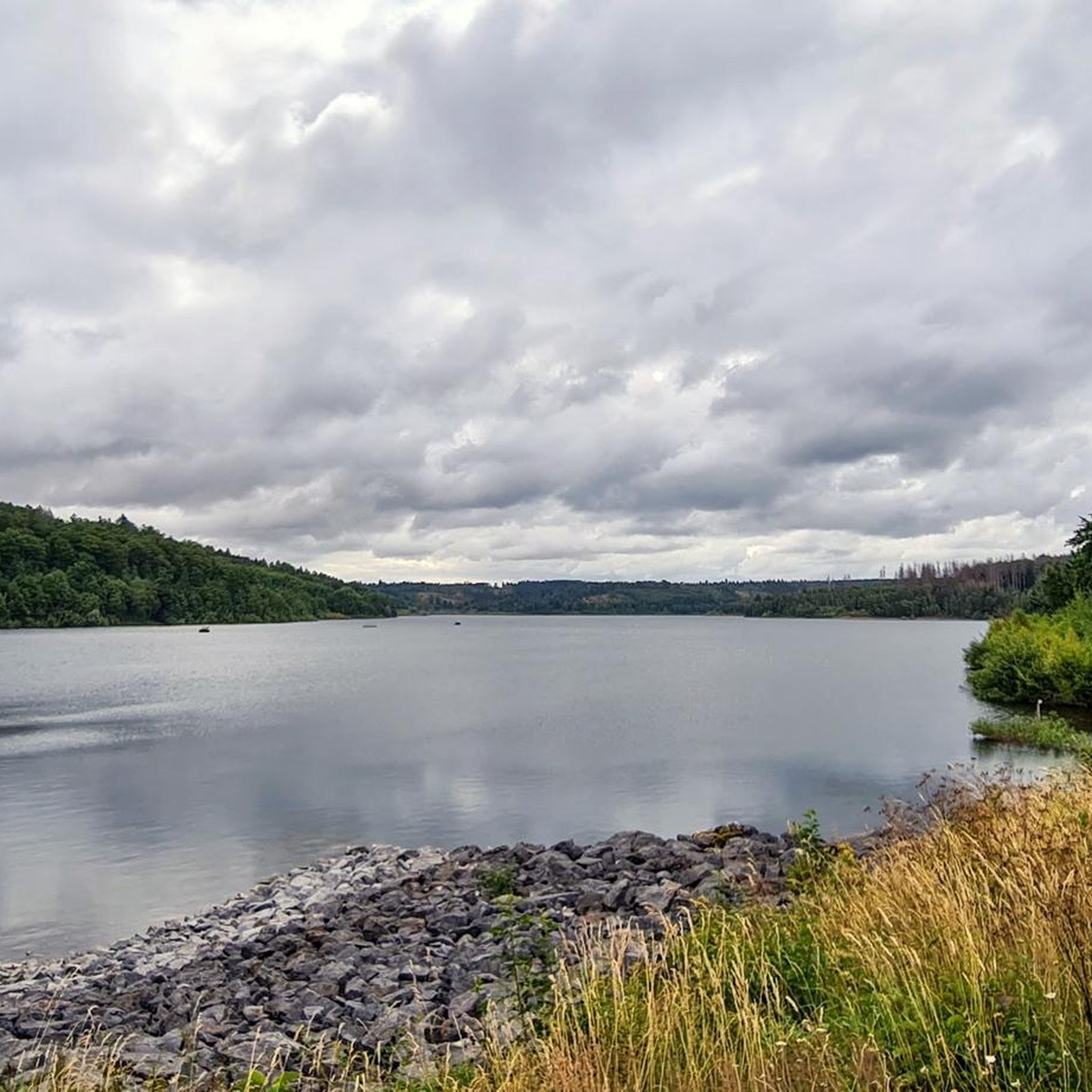
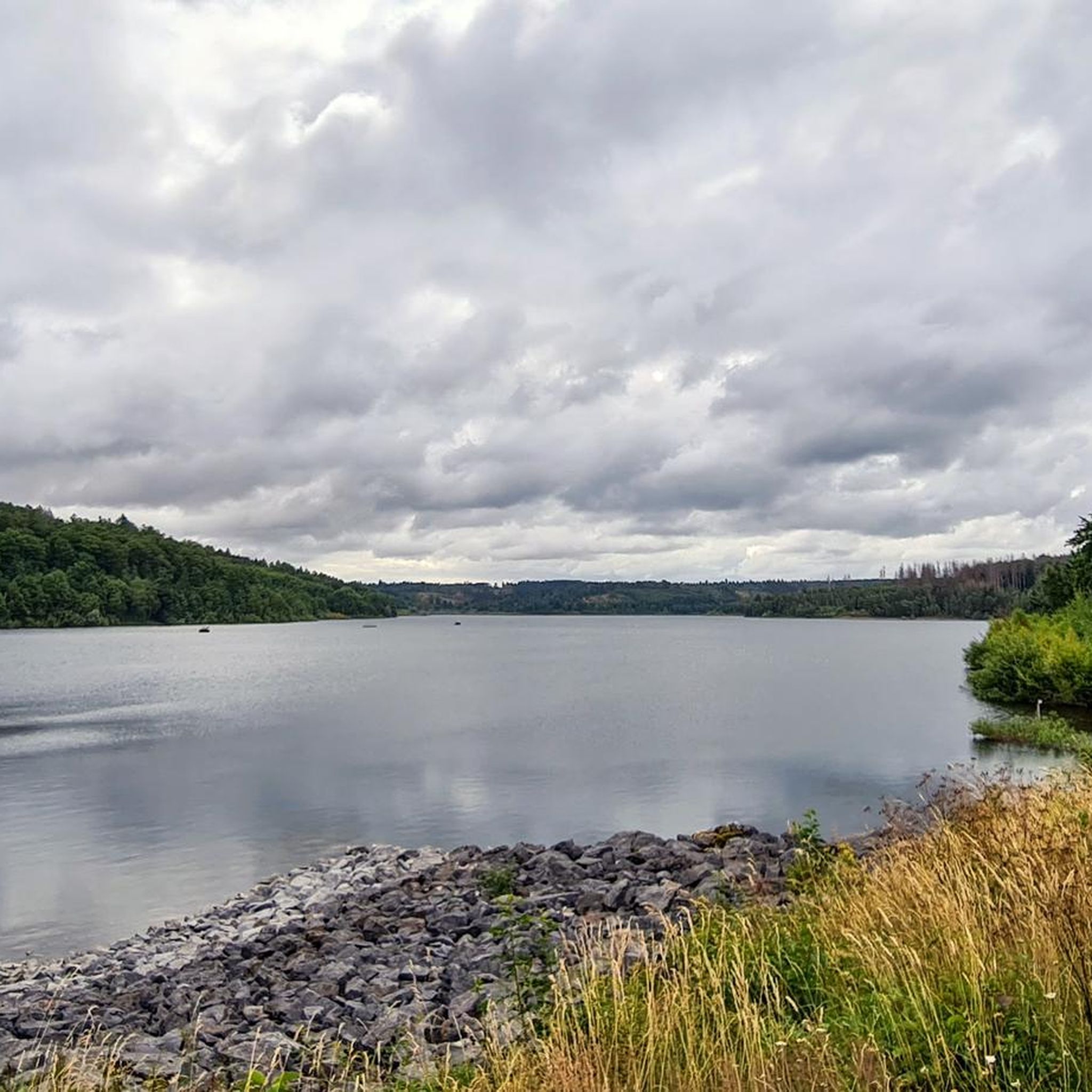
The basin, also known locally as Keddinghäuser See, is a popular recreational area. A beautiful hiking trail leads around the lake.
2
0

The soil here contains 20 times more lead and 2000 times more zinc than normal. This is what the calamine violet needs. The blue variety, "Viola guestphalica," thrives only here and 2 km south along the Wäschebach stream: https://www.komoot.com/de-de/highlight/7785420 Its closest relative is the yellow calamine violet, "Viola calaminaria," on the zinc dumps on the left bank of the Rhine, especially Kelmis near Aachen. https://www.komoot.com/de-de/highlight/6994835
3
0

⚠️ ATTENTION ⚠️ This is more of a tip than a highlight! The marked trail descends slightly, bends slightly to the left, and then bends to the right, which leads to the bridge over the Afte stream, the inlet to the lake. If you're going too fast, you might swerve past the bridge on the left and fall into the Afte stream, which is about 3m below.
2
0

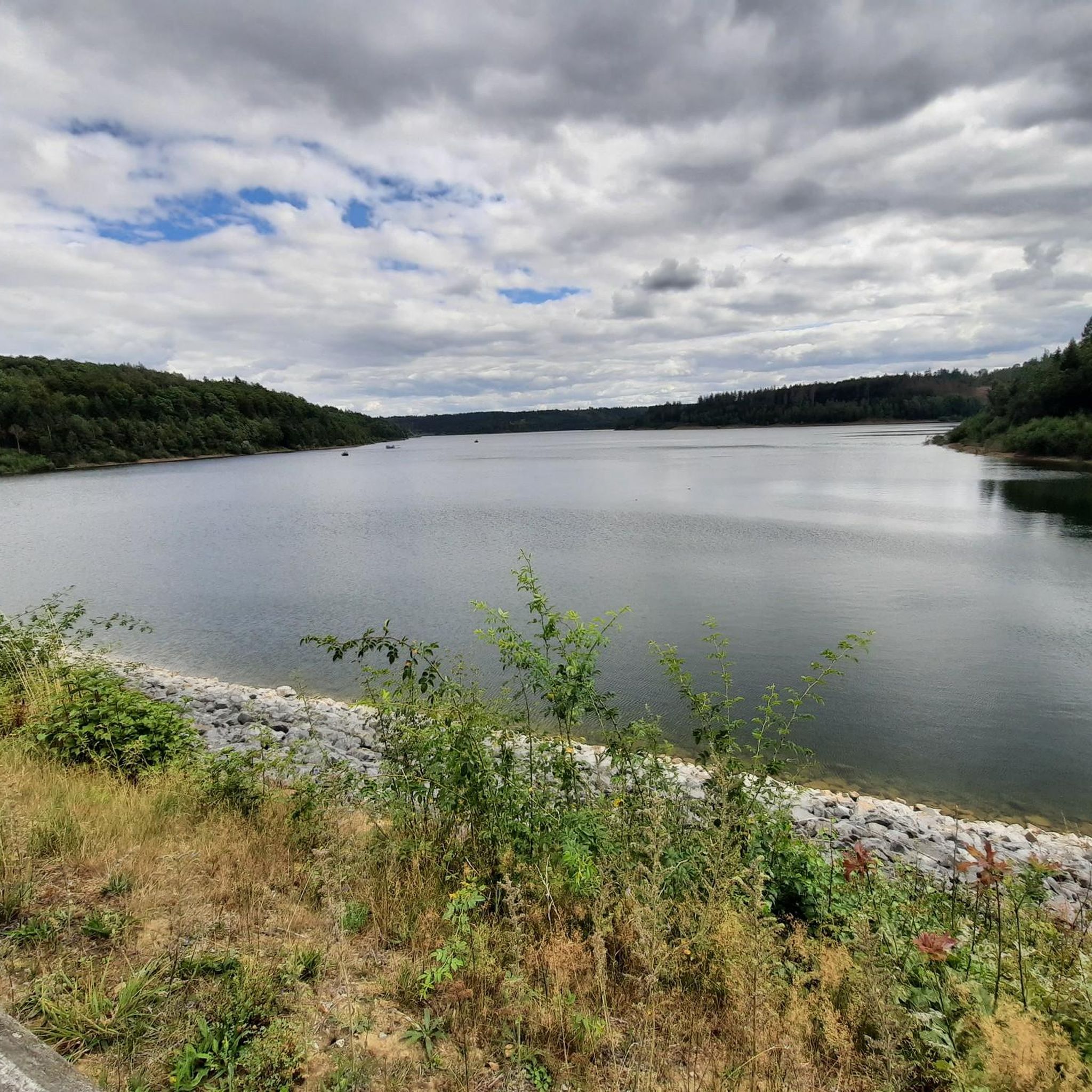
Beautiful, elevated route along the lake. There are always great views along the way :)
2
0

nice place for a break.
1
0


A good bike path and a beautiful route above the Afte. Very fine, newly graveled with fine chippings, and the trees on the right and left have been cleared, allowing for an unobstructed view.
2
0
Here, the Afte flows into the flood retention basin. A narrow bridge crosses it.
3
0
Frequently Asked Questions
How many gravel biking routes are available around Aabachstausee?
There are over 25 gravel biking routes available around Aabachstausee, offering a variety of experiences for different skill levels. You'll find a mix of moderate and difficult trails to explore.
What kind of terrain can I expect on gravel bike trails near Aabachstausee?
The Aabachstausee region offers diverse terrain. You'll find a flat, 9-kilometer asphalted circular path directly around the Aabachtalsperre, perfect for a smooth ride. Beyond this, the area features extensive forest landscapes with unpaved roads and trails, especially in the romantic valleys of tributary streams like the Kleine Aa and Murmecke. Expect varied topography, including some ascents and descents, particularly as you venture towards the Natural Park Diemelsee.
Are there any easy or beginner-friendly gravel bike routes around Aabachstausee?
Yes, for an easy and beginner-friendly experience, the 9-kilometer asphalted circular path around the Aabachtalsperre is ideal. It's flat, traffic-free, and offers continuous scenic views of the water. While most routes in the wider area are moderate to difficult, this paved loop provides a gentle introduction to cycling in the region.
What is the best time of year to go gravel biking in the Aabachstausee region?
The Aabachstausee region is enjoyable for gravel biking throughout the warmer months. Spring and autumn offer pleasant temperatures and beautiful scenery, with changing foliage in the forested areas. Summer is also a good option, though it can be busier. Always check the local weather forecast before heading out.
What do other gravel bikers say about the routes around Aabachstausee?
The routes in Aabachstausee are highly rated by the komoot community, with an average score of 4.8 stars. Riders often praise the diverse landscapes, from the serene lakeside paths to the challenging forest trails, and the overall natural beauty of the area.
Are there any circular gravel bike routes around Aabachstausee?
Yes, a prominent circular route is the 9-kilometer asphalted path directly around the Aabachtalsperre. For longer, more challenging circular options, routes like the Jesuit Church, Büren – Keddinghäuser Lake loop from Bleiwäsche offer a comprehensive tour through varied landscapes, connecting historical landmarks with natural lake scenery.
Can I find family-friendly gravel biking options near Aabachstausee?
The flat, paved 9-kilometer circular path around the Aabachtalsperre is very suitable for families, offering a safe and scenic ride away from traffic. While many of the longer gravel routes involve more challenging terrain, this lakeside loop provides an excellent family-friendly option.
Are there any notable landmarks or viewpoints along the gravel bike trails?
Yes, several routes offer scenic views and pass by interesting points. You can find excellent views over the reservoir from the Bumbam's Mill Millstone Rest Area. The Aabach Reservoir – Blankenroder Bleikuhlen Nature Reserve loop from Bad Wünnenberg takes you through a nature reserve, offering natural features to explore.
Where can I park my car when visiting Aabachstausee for gravel biking?
While specific parking locations for gravel biking access points are not detailed, the Aabachstausee area, being a popular recreational spot, typically has designated parking facilities near the main access points to the reservoir and its surrounding paths. Look for parking areas near Bad Wünnenberg or other towns bordering the lake for convenient access.
Are there any cafes or restaurants near the gravel bike trails for a break?
The towns surrounding Aabachstausee, such as Bad Wünnenberg, offer various cafes and restaurants where you can take a break and refuel. While specific establishments directly on the trails are limited, you'll find options within a short distance of the main cycling routes around the lake.
What is the longest gravel bike route available in the Aabachstausee area?
One of the longer routes is the Alme Valley near Brenken – Alme River below the Wewelsburg loop from Waldbachtal, which spans approximately 54.7 km (34.0 miles) and features significant elevation gain, making it a challenging and rewarding ride.
Can I find routes that combine forest landscapes with open views?
Absolutely. Many routes in the Aabachstausee region traverse both dense forest sections and offer open views, particularly around the reservoir itself and in the broader Natural Park Diemelsee. The romantic valleys of tributary streams like the Kleine Aa and Murmecke are known for their beautiful forest landscapes, often opening up to scenic vistas.
Most popular routes around Aabachstausee
Most popular attractions around Aabachstausee

Get inspired with the komoot mobile app


Explore more
Browse the best Gravel rides in other regions.
