The best gravel rides around Niederwürzbacher Weiher
4.4
(81)
385
riders
60
rides
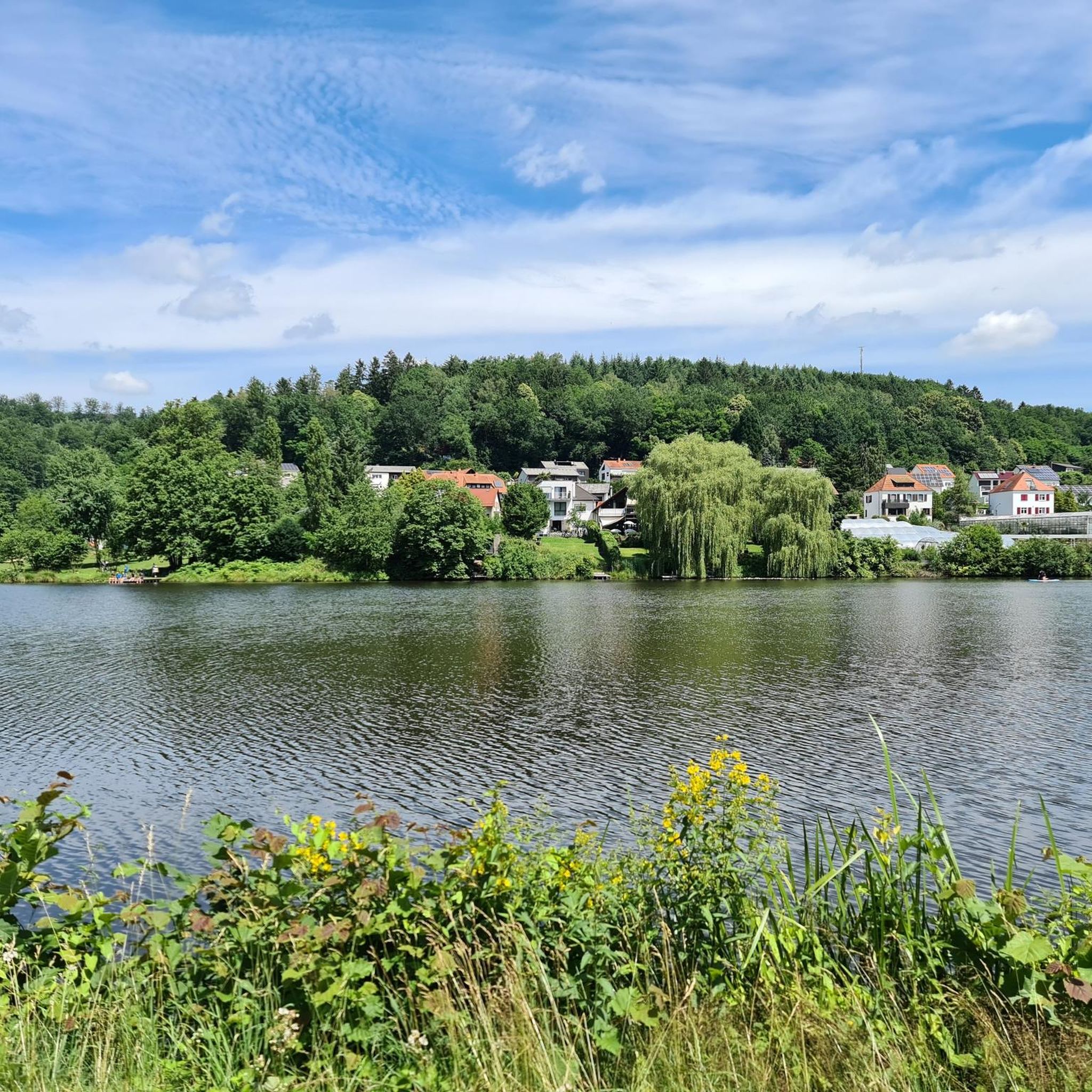
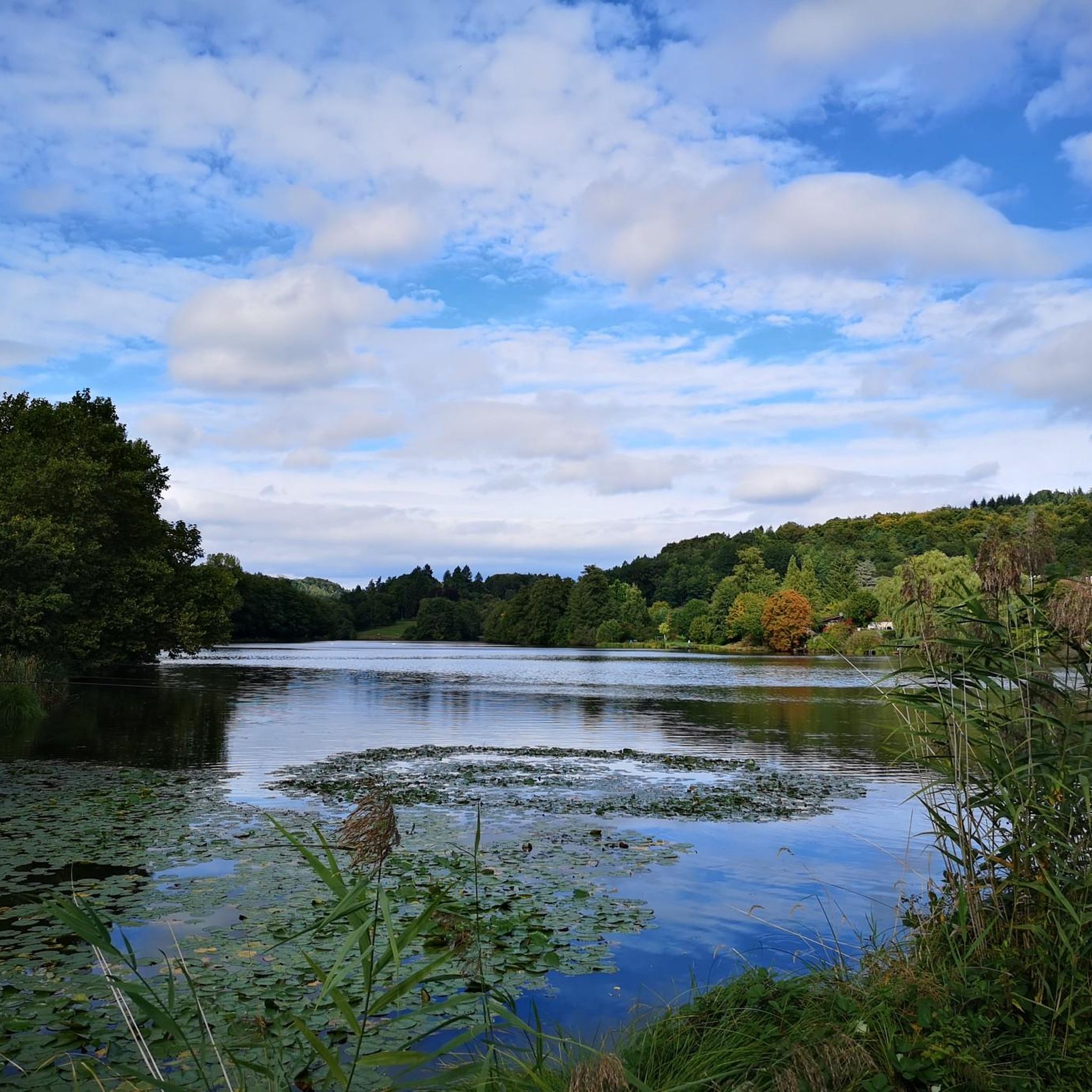
Gravel biking around Niederwürzbacher Weiher offers diverse terrain within the Bliesgau Biosphere Reserve. The region is centered around the 12-hectare Niederwürzbacher Weiher, fed by the Würzbach and Geißbach rivers. The landscape features striking Buntsandstein formations, the Würzbach valley, extensive woodlands, and gentle hills, providing varied surfaces for gravel cyclists. This area combines lakeside paths with unpaved forest trails, suitable for different gravel biking preferences.
Best gravel bike trails around Niederwürzbacher Weiher
- The most popular gravel bike trail is Heidenkopf Observation Tower – Border Bridge over the River Blies loop from Würzbach (Saar), a 31.1 miles (50.1 km) trail that takes 3 hours 17 minutes to complete. This difficult route offers views from the observation tower and crosses the border bridge over the River Blies.
- Another top favourite among local gravel bikers is Niederwürzbacher Pond – Schmalzgruben Trail loop from Würzbach (Saar), a difficult 29.4 miles (47.4 km) path. This route navigates around the pond and through varied trail sections.
- Local gravel bikers also love the View of the Würzbacher Pond – Würzbacher Pond loop from Würzbach (Saar), a 33.5 miles (53.9 km) trail leading through woodlands and offering scenic pond views, often completed in about 3 hours 14 minutes.
- Gravel biking around Niederwürzbacher Weiher is defined by lakeside paths, extensive woodlands, and gentle hills. The network offers options for different ability levels, from moderate rides to more challenging routes with significant elevation changes.
- The routes in Niederwürzbacher Weiher are highly rated by the komoot community with an average score of 4.5 stars from more than 90 reviews. More than 400 gravel bikers have used komoot to explore Niederwürzbacher Weiher's varied terrain.
Last updated: July 3, 2026
5.0
(1)
14
riders
Hard gravel ride. Very good fitness required. You may need to push your bike for some segments of this route.
4.3
(3)
21
riders
47.2km
02:50
540m
540m
Hard gravel ride. Very good fitness required. Mostly paved surfaces. Suitable for all skill levels.

Sign up for free
4.8
(15)
43
riders
53.9km
03:14
660m
660m
Hard gravel ride. Very good fitness required. You may need to push your bike for some segments of this route.
4.5
(2)
17
riders
47.2km
03:15
660m
660m
Hard gravel ride. Very good fitness required. Mostly paved surfaces. Suitable for all skill levels.
4.4
(7)
29
riders
50.4km
02:53
430m
430m
Moderate gravel ride. Good fitness required. Mostly paved surfaces. Suitable for all skill levels.
Get access to more routes and recommendations from other explorers.
Sign up for free
Already have an account?
Our route recommendations are based on thousands of hikes, rides, and runs completed by other people on komoot.
Start today with a free account
Your next adventure awaits.
Login or Signup
Popular around Niederwürzbacher Weiher
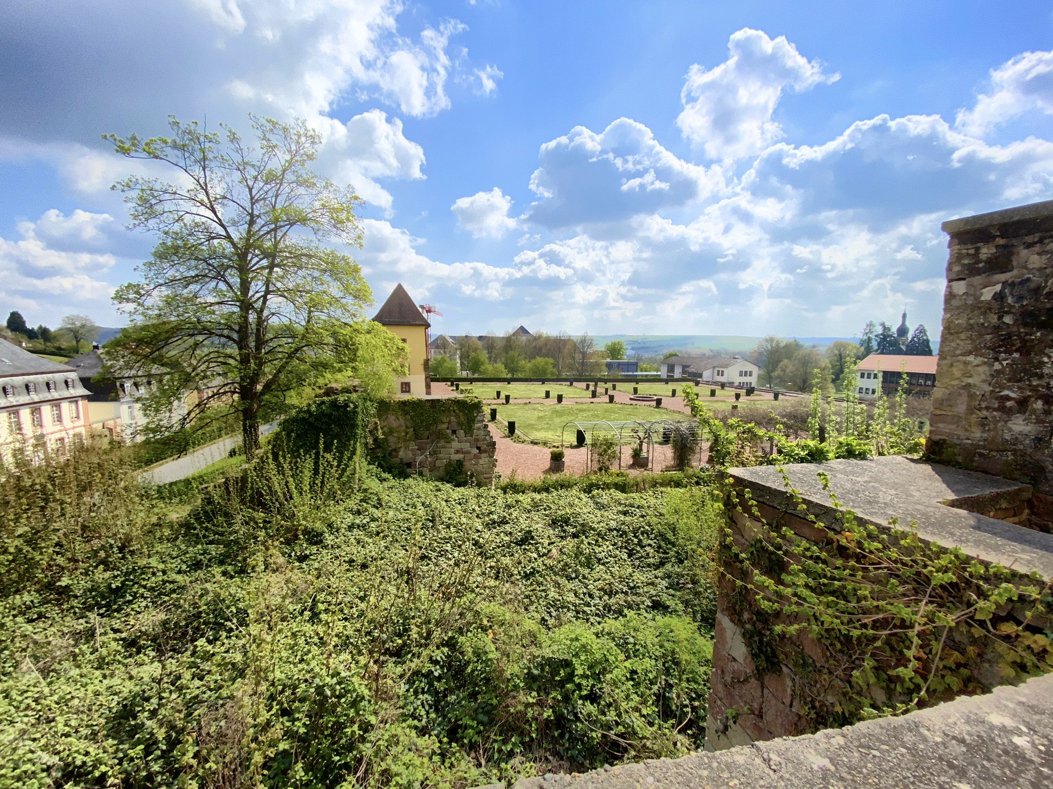
The Mariannenweg - On the trail of the baroque era
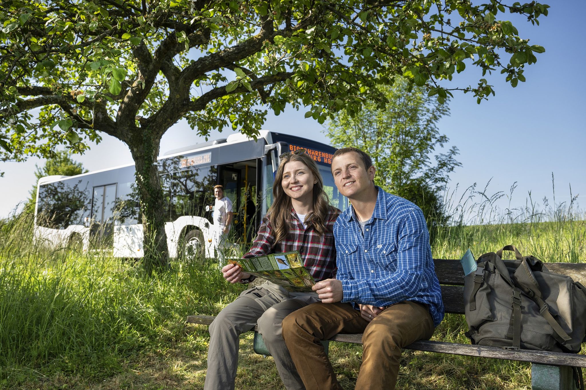
Wandern mit Bus und Bahn – Nachhaltig durch den Bliesgau
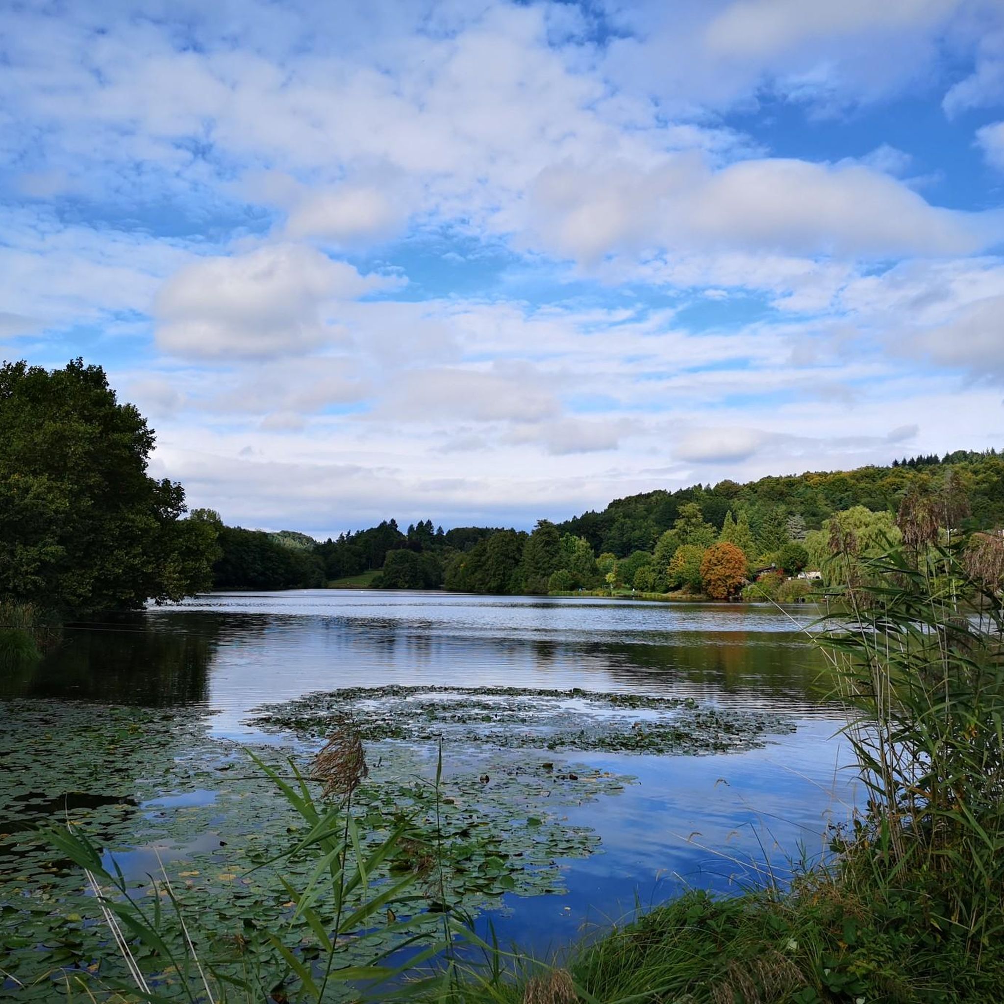
Cycling around Niederwürzbacher Weiher
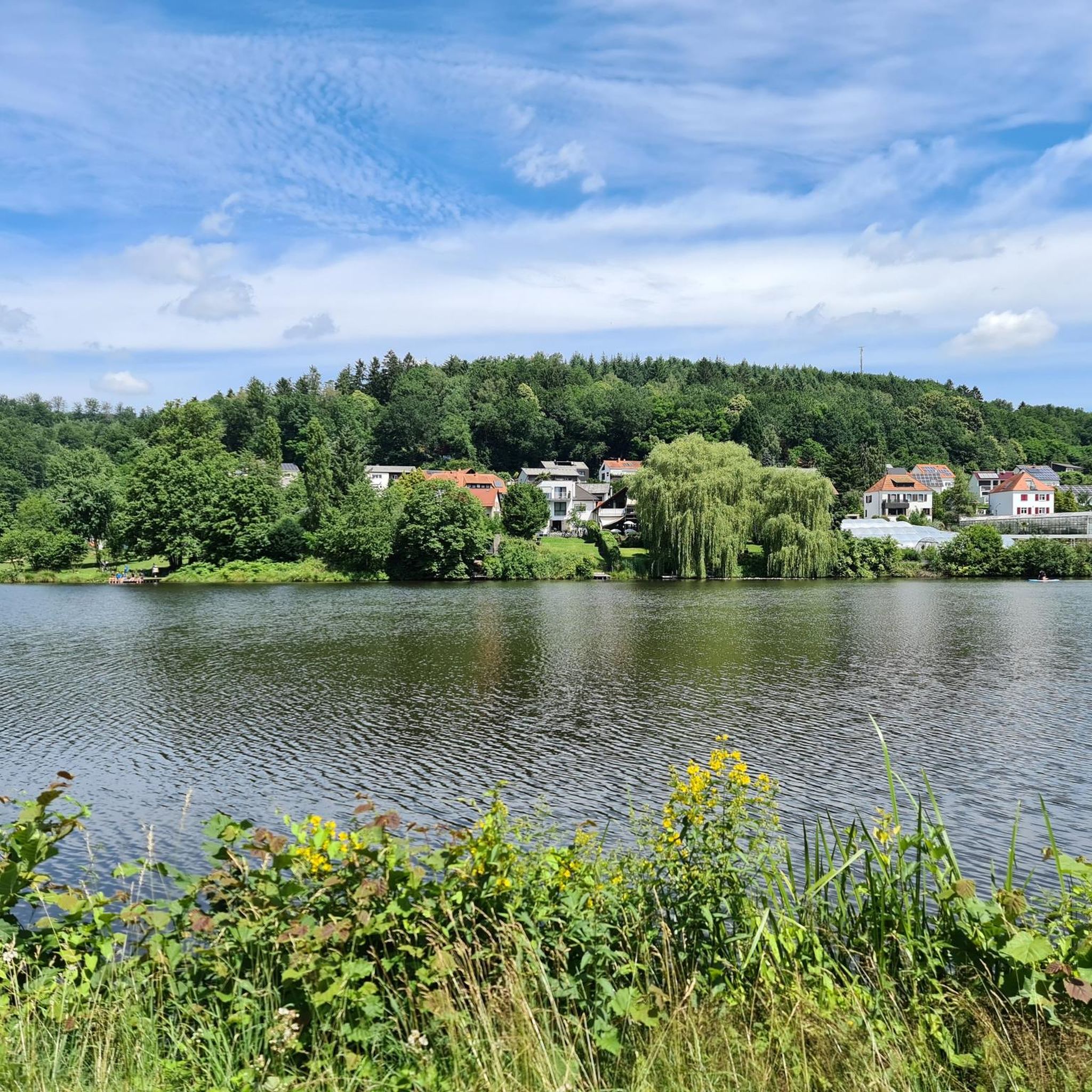
Hiking around Niederwürzbacher Weiher
MTB Trails around Niederwürzbacher Weiher
Road Cycling Routes around Niederwürzbacher Weiher
Running Trails around Niederwürzbacher Weiher
Other adventures around Niederwürzbacher Weiher


Tips from the Community

The Glan-Blies-Radweg is one of the most beautiful cycle paths in southwestern Germany. https://www.glan-blies-weg.de/
1
0

The Saar (French Sarre, Latin Saravus, Luxembourgish Saar) is a river flowing approximately northward in Alsace and Lorraine, as well as in the German states of Saarland and Rhineland-Palatinate. With a flow distance of 235 kilometers, it is the longest tributary of the Moselle; its catchment area covers 7431 square kilometers, which is about three times the area of Saarland (2569.69 km²). See: https://de.wikipedia.org/wiki/Saar
1
0

Beautiful, easy trail behind Niederwürzbach
0
0
Central point from which paths branch off in all directions
0
0

Three great trails - however, the route towards IGB is only possible downhill, the other two can also be ridden uphill.
0
0

This reddish-brown wooden bridge safely crosses the Blies River and connects the hiking trails on both sides of the border. Surrounded by lush greenery, it offers an idyllic view of the river and invites you to pause for a moment. 💡 Tip: Pause for a moment in the middle of the bridge – from here, you can often spot ducks, fish, or even the shy kingfisher.
2
0

Beautiful trail
0
0

Frequently Asked Questions
What kind of terrain can I expect on gravel bike trails around Niederwürzbacher Weiher?
The terrain around Niederwürzbacher Weiher is quite varied, offering a mix of surfaces ideal for gravel biking. You'll encounter smooth asphalt, loose gravel, and even root-covered trails. The landscape features striking Buntsandstein formations, the Würzbach valley, extensive woodlands, and gentle hills, providing a diverse riding experience within the Bliesgau Biosphere Reserve.
Are there gravel bike routes suitable for beginners or families?
While many routes around Niederwürzbacher Weiher are challenging, there are options for different fitness levels. The region offers moderate rides that require good basic fitness, and some trails are suitable for families looking for less strenuous paths. Look for routes with less elevation gain if you're seeking a more relaxed experience.
What are some notable attractions or viewpoints I can see along the gravel bike trails?
Many trails weave through picturesque forests and offer scenic views of the lake. You can explore historical sites like the Gut Junkerwald villa on the peninsula or the Old Würzbach Station. The View of the Niederwürzbacher Pond from Hofgut Jungerwald is a popular viewpoint. Some routes, like the Heidenkopf Observation Tower – Border Bridge over the River Blies loop from Würzbach (Saar), even lead to observation towers offering expansive vistas.
Where can I find parking for gravel biking near Niederwürzbacher Weiher?
The Niederwürzbacher Weiher area is well-equipped with parking facilities, especially around the lake itself, as it's a popular local recreation zone. You'll find designated parking areas conveniently located near common starting points for many routes.
Can I reach the gravel bike trails by public transport?
Yes, the area is easily accessible by public transport. The Würzbach BHF train station and several bus stops are nearby, providing convenient access to the starting points of many gravel biking routes around Niederwürzbacher Weiher.
Are there places to eat and drink near the trails?
Absolutely. Niederwürzbacher Weiher offers various dining options. You'll find beer gardens, cafes, and restaurants around the lake, such as "Park Philippslust" and "Bistro am Weiher." The Old Würzbach Station is also a popular spot with a rustic atmosphere and a beer garden.
What is the best time of year for gravel biking around Niederwürzbacher Weiher?
The region is enjoyable for gravel biking throughout much of the year. Spring and autumn offer pleasant temperatures and beautiful scenery with changing foliage. Summer is also great, especially with the lake nearby for cooling off. While winter riding is possible, be mindful of weather conditions and potential icy or muddy sections on unpaved trails.
What do other gravel bikers enjoy most about the trails in Niederwürzbacher Weiher?
The area is highly rated by the komoot community, with an average score of 4.5 stars from over 90 reviews. Riders often praise the diverse terrain, the scenic views of the lake and surrounding woodlands, and the variety of routes that cater to different skill levels. The combination of natural beauty and accessible amenities is frequently highlighted.
Are there any long-distance or challenging gravel routes in the area?
Yes, for experienced gravel bikers, there are several challenging routes with significant elevation changes. For example, the Niederwürzbacher Pond – Schmalzgruben Trail loop from Würzbach (Saar) is a difficult 47.4 km path with over 550 meters of elevation. Another demanding option is the View of the Würzbacher Pond – Würzbacher Pond loop from Würzbach (Saar), covering 53.9 km with 660 meters of ascent.
Are the gravel bike routes typically circular or point-to-point?
Many of the popular gravel biking routes around Niederwürzbacher Weiher are designed as circular loops, making it convenient to start and end your ride at the same location. This allows for easy access from parking areas or public transport hubs. Examples include the Würzbacher Pond – Southern Bliesgau loop from Würzbach (Saar) and the Southern Bliesgau – View of Mandelbachtal loop from Würzbach (Saar).
Can I bring my dog on the gravel bike trails?
Generally, the outdoor areas around Niederwürzbacher Weiher, including many trails, are dog-friendly. However, it's always recommended to keep your dog on a leash, especially in nature reserve areas and when encountering other cyclists or hikers, to ensure safety and respect for wildlife.
Most popular routes around Niederwürzbacher Weiher
Most popular attractions around Niederwürzbacher Weiher

Get inspired with the komoot mobile app


Explore more
Browse the best Gravel rides in other regions.
