The best gravel rides around Stausee Scheibe-Alsbach
4.3
(10)
71
riders
5
rides
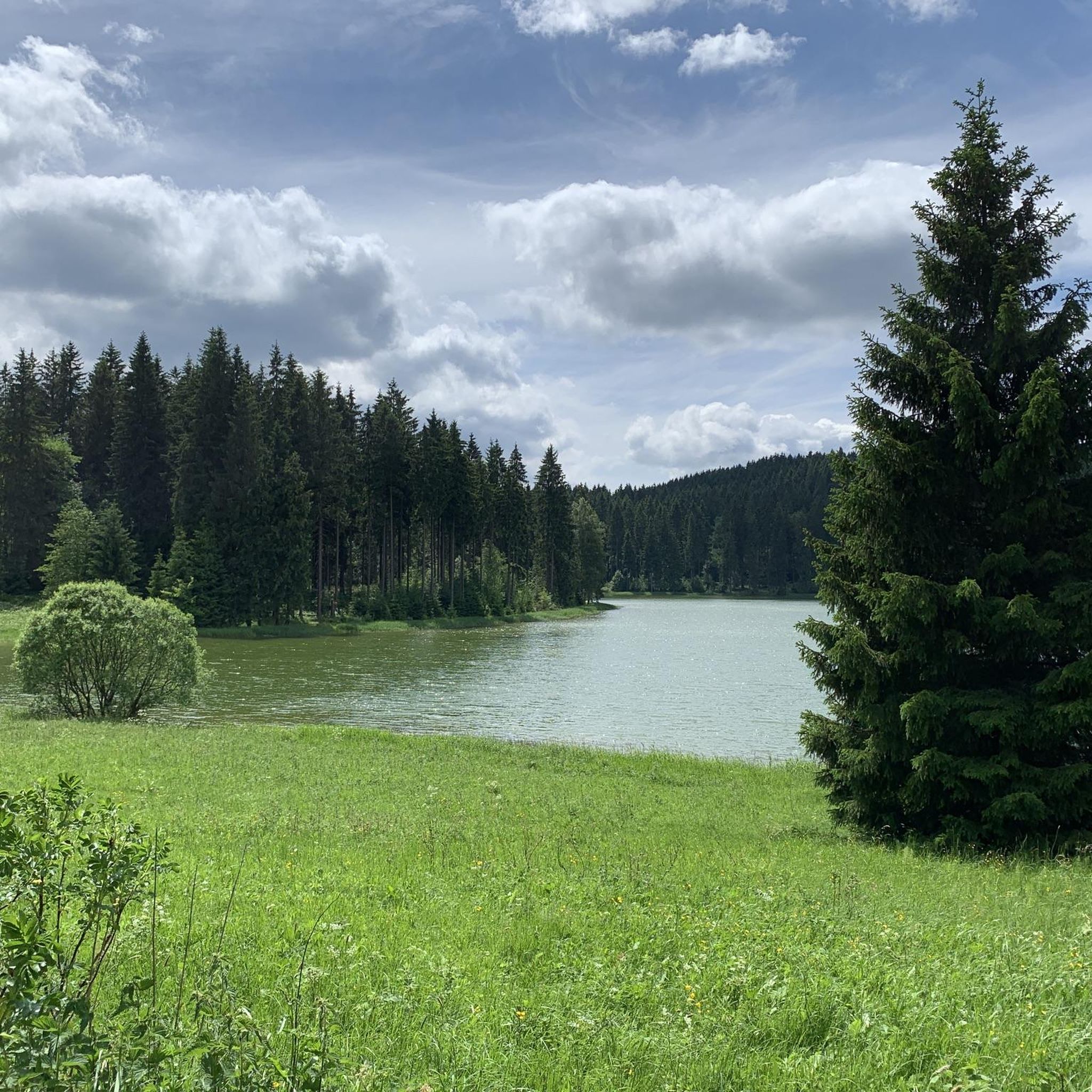
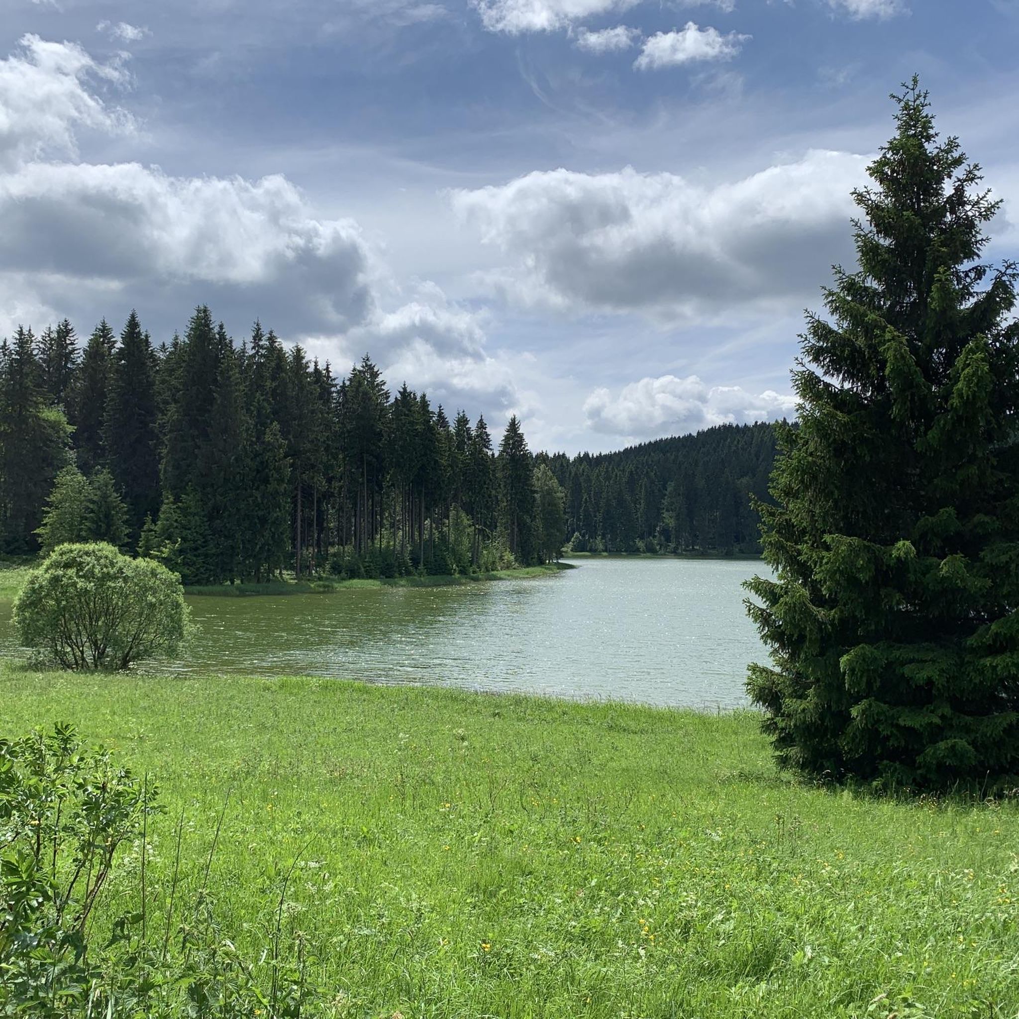
Gravel biking around Stausee Scheibe-Alsbach offers diverse routes through the picturesque Upper Schwarzatal region of Thuringia, Germany. The area is characterized by a serene reservoir, extensive forests, and lush meadows, providing varied terrain for cyclists. Elevations around the reservoir reach up to 752 meters above sea level, with paths ranging from relatively flat sections to more challenging climbs in deeper woods. The Schwarza river, which feeds the reservoir, also presents opportunities for scenic detours.
Best gravel bike trails around Stausee…
Last updated: July 2, 2026
2.0
(1)
2
riders
27.1km
01:41
400m
400m
Moderate gravel ride. Good fitness required. Mostly paved surfaces. Suitable for all skill levels.
5.0
(1)
9
riders
18.4km
01:08
180m
180m
Moderate gravel ride. Good fitness required. Mostly paved surfaces. Suitable for all skill levels.

Sign up for free
2
riders
Hard gravel ride. Very good fitness required. Mostly paved surfaces. Suitable for all skill levels.
3
riders
Hard gravel ride. Very good fitness required. Mostly paved surfaces. Suitable for all skill levels.
5.0
(1)
1
riders
Hard gravel ride. Very good fitness required. Mostly paved surfaces. Suitable for all skill levels.
Our route recommendations are based on thousands of hikes, rides, and runs completed by other people on komoot.
Start today with a free account
Your next adventure awaits.
Login or Signup
Tips from the Community

Imposing viaduct that spans the Ascherbachtal valley. It is ideal to ride downhill from Neuhaus through the village of Lichte, as the B281 is quite busy.
1
0

The old Fellbergbaude has seen better days, it is visibly decaying. In front, a snack bar is operated, the surroundings are appealing and tidy, as is the campsite with electricity connection. Probably one can no longer expect more nowadays, in "Ösiland" I have not yet seen such a location with such a history. 🤷♂️ Großhütte Fellberg - 762 m above sea level Built in 1902 as the first Großhütte for industrial production of griffels. Paths were created for the transport of griffels to Steinach, which today serve as forest and hiking trails and in winter as cross-country ski trails. After the end of griffels production, the building was used as a holiday camp and restaurant.
0
0

Friedrichshöhe is situated on a high plateau in the Thuringian Slate Mountains, north of Eisfeld and southeast of Masserberg on the Rennsteig hiking trail. The village lies amidst mountain meadows, surrounded by forests at an altitude of 800 meters above sea level. It is accessible via a road leading to the B281 federal highway.
11
0

Well-located information center with rest area and water source nearby.
1
0

Nice little pond, great destination for a day trip
0
0

Shortest route, from Steinheid to Augustental, it's constantly downhill 🚵♂️👍😉
0
0
The Ebermannsmühle is located in the Steinachgrund, making it ideal for camping and exploring the local area. Access is no problem!
0
0
The Lauscha outdoor swimming pool is located in the Steinachgrund.
0
0
Frequently Asked Questions
What kind of terrain can I expect on gravel bike trails around Stausee Scheibe-Alsbach?
The terrain around Stausee Scheibe-Alsbach is quite varied, offering a mix of experiences. You'll find extensive forests and lush meadows, with paths ranging from relatively flat sections, especially around the reservoir itself, to more challenging climbs in the deeper woods. The area sits at an elevation of up to 752 meters above sea level, providing diverse landscapes for gravel biking.
Are there gravel bike routes suitable for beginners or families?
While many routes in the broader area are moderate to difficult, the immediate circular path around the Stausee Scheibe-Alsbach is relatively flat and easy to navigate, making it suitable for a relaxed ride. For a slightly longer, moderate option, consider the Werra Spring Hut – Werra Spring Fehrenbach loop from Friedrichshöhe, which explores natural surroundings with a mix of forest and open meadow scenery.
Are there challenging gravel bike routes for experienced riders?
Yes, for experienced riders seeking a challenge, there are several difficult routes. The View of Stockwiese – Lauscha Outdoor Swimming Pool loop from Steinach (Thür) is a 25.9 km trail leading through forested hills with significant elevation changes. Another demanding option is the Röthenquelle spring with refuge – Königssee (Neufang) loop from Steinach (Thür), which also features substantial climbs and descents.
What natural features can I see while gravel biking near Stausee Scheibe-Alsbach?
You'll be surrounded by the pristine Stausee (reservoir) itself, extensive forests, and lush meadows. The Schwarza River, which feeds the reservoir, and its spring are nearby, offering interesting points for a short detour. Routes like the Rennsteig Trail – Lichte Viaduct loop from Neuhaus am Rennweg offer views of the impressive Lichte Viaduct.
What do other gravel bikers enjoy most about gravel biking in Stausee Scheibe-Alsbach?
The area is highly rated by the komoot community, with an average score of 4.7 stars. Reviewers often praise the peaceful atmosphere, the serene reservoir views, and the diverse natural environment, including the extensive forests and meadows, which provide a genuine escape from crowded spots.
Are there any circular gravel bike routes around Stausee Scheibe-Alsbach?
Yes, there is a popular, relatively flat circular path spanning approximately 2.6 km directly around the Stausee Scheibe-Alsbach, offering continuous views of the water. For longer circular routes, options like the Tierberg Downhill Trail – Wally Eichhorn-Nelson Shelter loop from Steinach (Thür) provide a more extensive loop through varied terrain.
Is Stausee Scheibe-Alsbach suitable for gravel biking year-round?
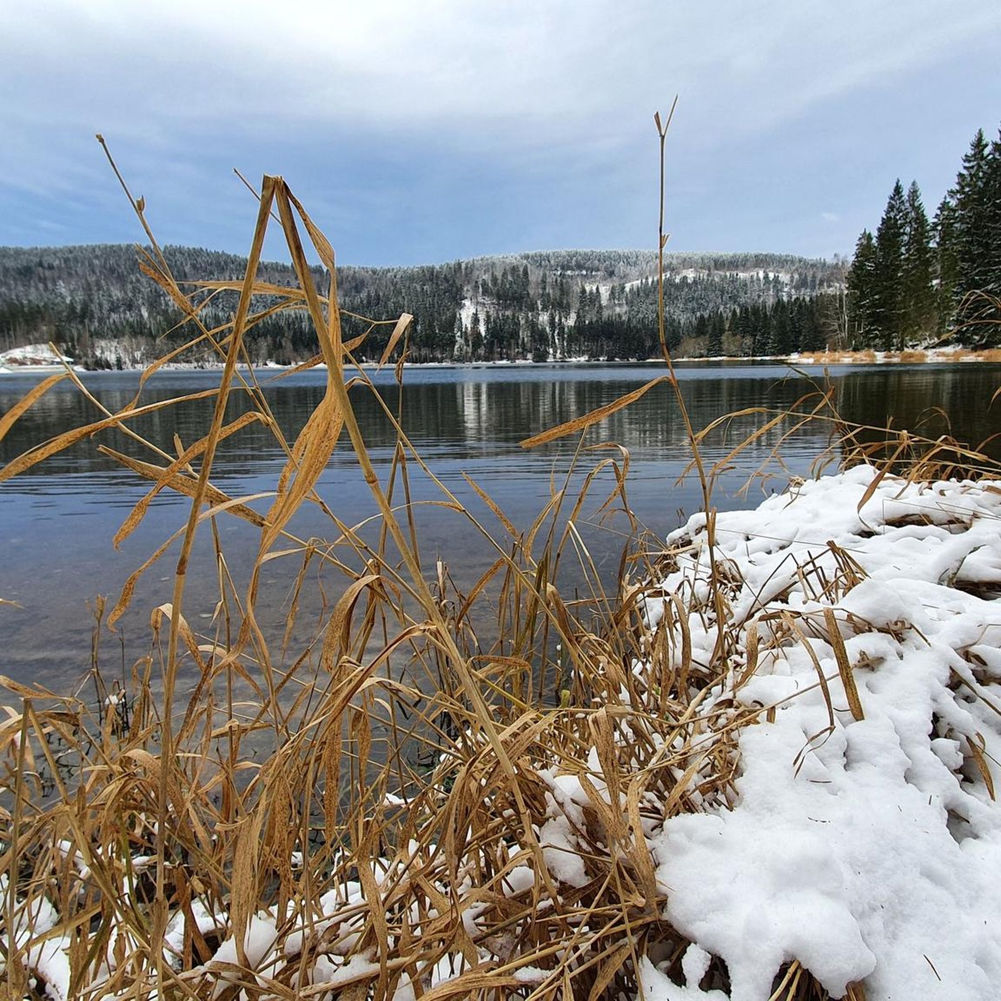
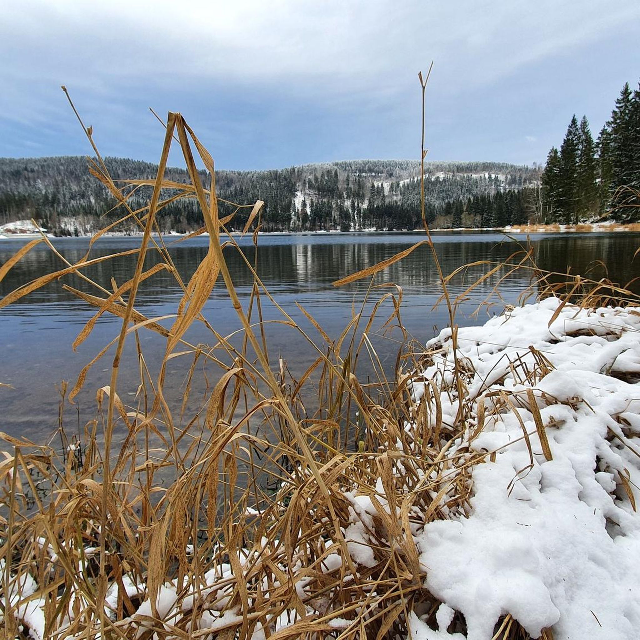
Stausee Scheibe-Alsbach is generally suitable for gravel biking throughout the year, with its diverse landscapes and well-maintained paths. However, conditions can vary with seasons. Spring and autumn offer pleasant temperatures and beautiful scenery, while summer is ideal for longer days. Winter rides are possible, but you should check local conditions for snow and ice, especially on higher elevation trails.
Are there places to rest or take a break along the gravel bike trails?
Yes, the area around Stausee Scheibe-Alsbach is known for its peaceful atmosphere and provides strategically placed 'wonderful council seats' and rest areas. These spots offer opportunities to pause, enjoy the views of the reservoir and surrounding nature, and recharge during your ride.
What are the typical distances and durations for gravel bike routes in this region?
The gravel bike routes in the Stausee Scheibe-Alsbach region vary in length and duration. For example, the Rennsteig Trail – Lichte Viaduct loop from Neuhaus am Rennweg is about 27 km and takes approximately 1 hour 42 minutes. More challenging routes, such as the View of Stockwiese – Lauscha Outdoor Swimming Pool loop from Steinach (Thür), cover around 26 km but can take up to 2 hours 36 minutes due to elevation changes.
Are there any specific regulations or permits needed for gravel biking in Thuringia around Stausee Scheibe-Alsbach?
Generally, no specific permits are required for gravel biking on designated paths and trails in the Thuringian forests around Stausee Scheibe-Alsbach. However, it's always advisable to respect local signage, stay on marked trails, and be mindful of nature conservation areas, especially since the reservoir is a vital drinking water supply.
Can I bring my dog on the gravel bike trails around Stausee Scheibe-Alsbach?
While the region is very natural and welcoming to outdoor activities, specific regulations regarding dogs on gravel bike trails can vary. It's generally recommended to keep dogs on a leash, especially in forested areas and near wildlife. Always ensure your dog is well-behaved and doesn't disturb other users or the natural environment.
What are the parking options for gravel bikers visiting Stausee Scheibe-Alsbach?
The Stausee Scheibe-Alsbach area typically offers parking facilities for visitors engaging in outdoor activities. You can usually find designated parking areas near the reservoir or at trailheads, providing convenient access to the gravel bike routes. It's advisable to check local maps or signage upon arrival for specific parking locations.
Most popular routes around Stausee Scheibe-Alsbach
Most popular attractions around Stausee Scheibe-Alsbach

Get inspired with the komoot mobile app


Explore more
Browse the best Gravel rides in other regions.
