The best gravel rides around Sufner Lake
4.7
(14)
66
riders
3
rides
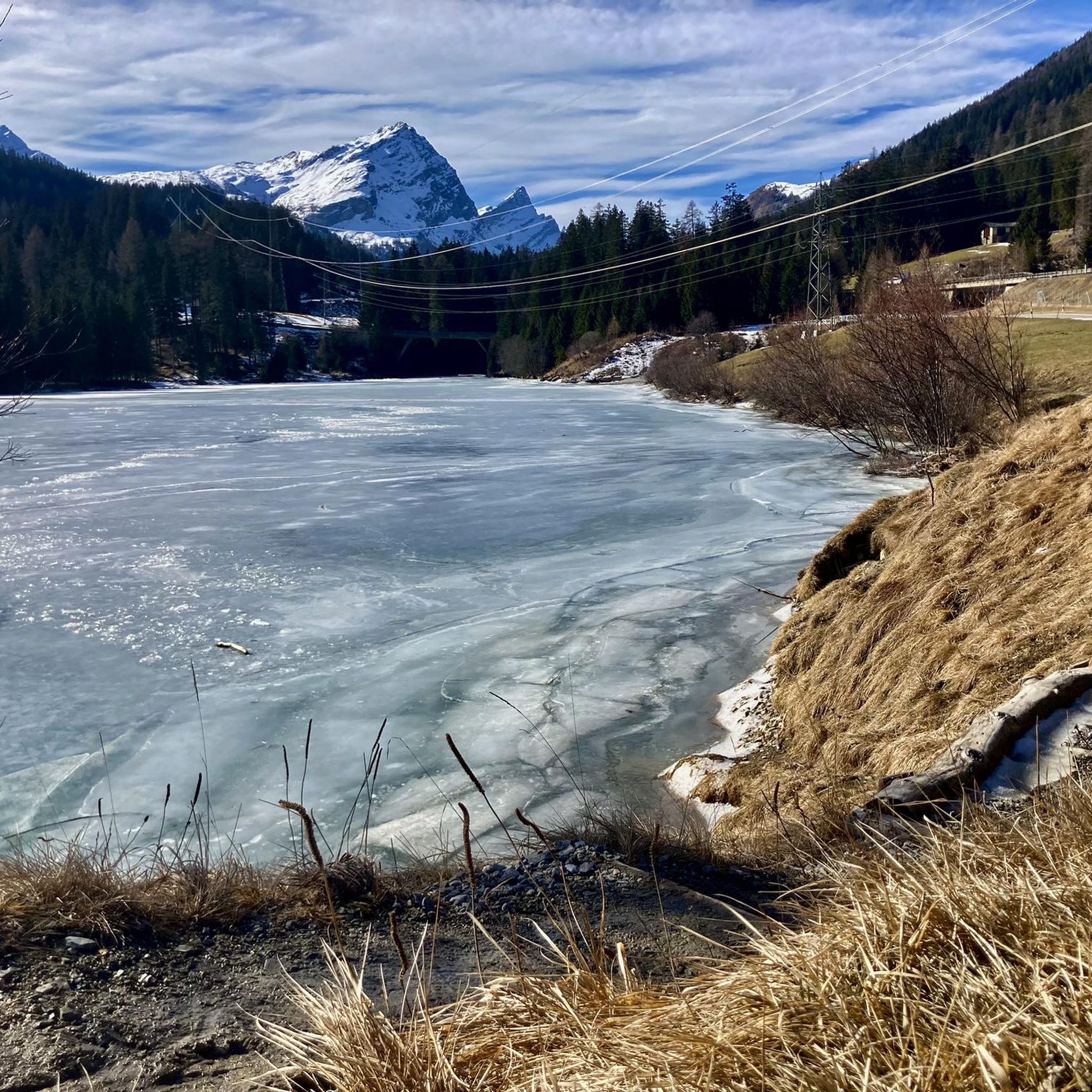
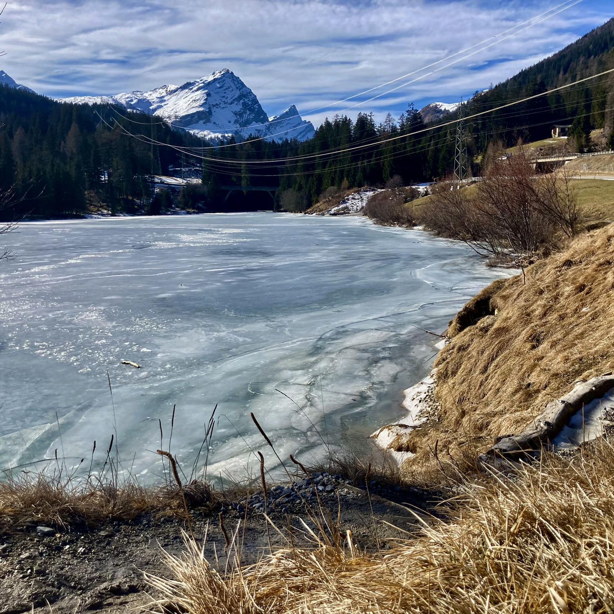
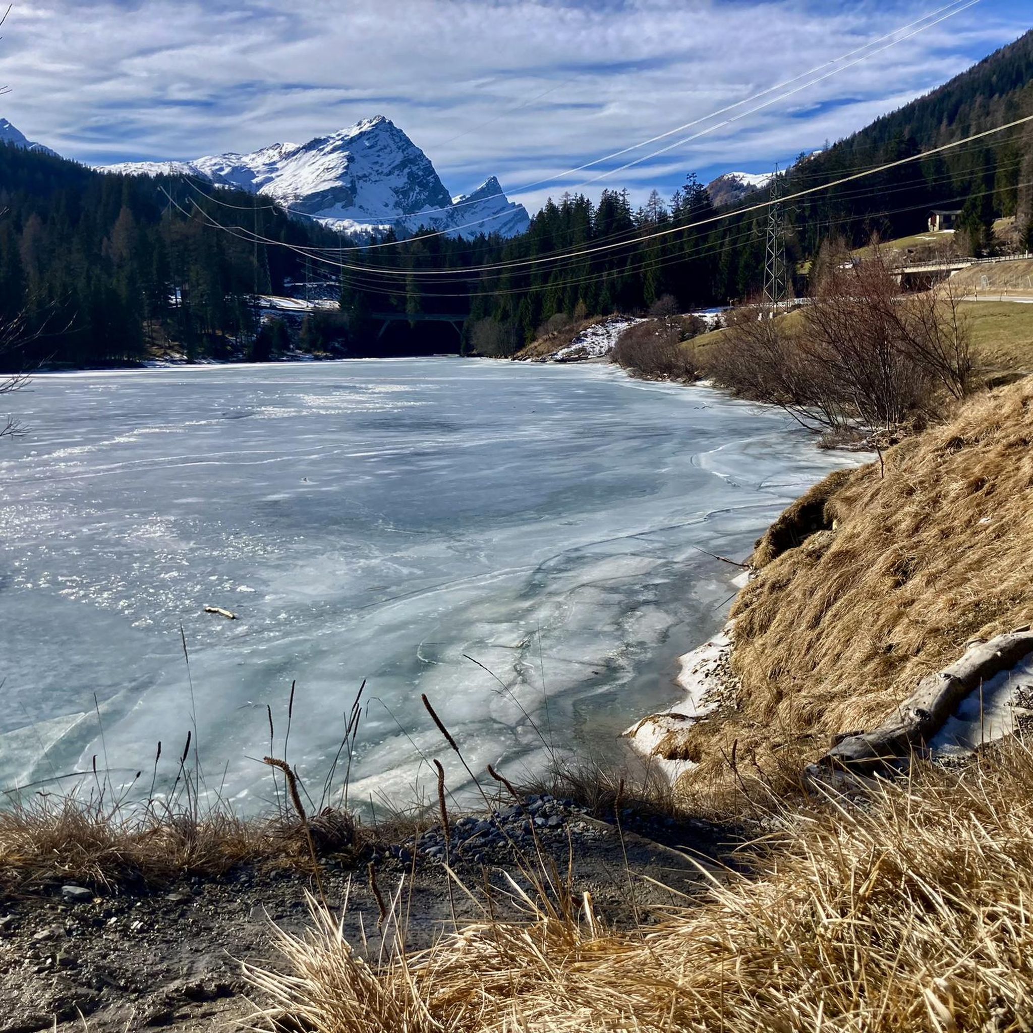
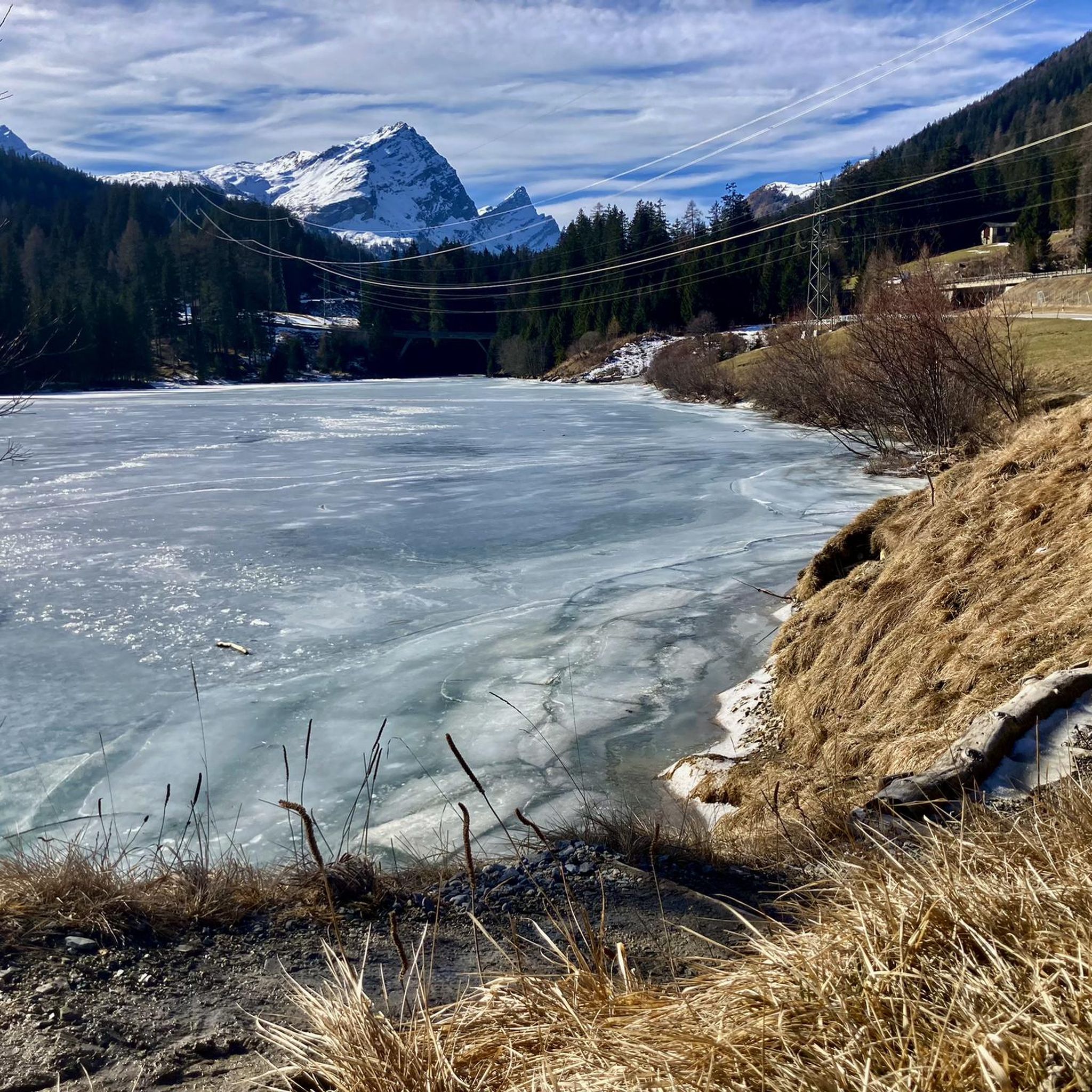
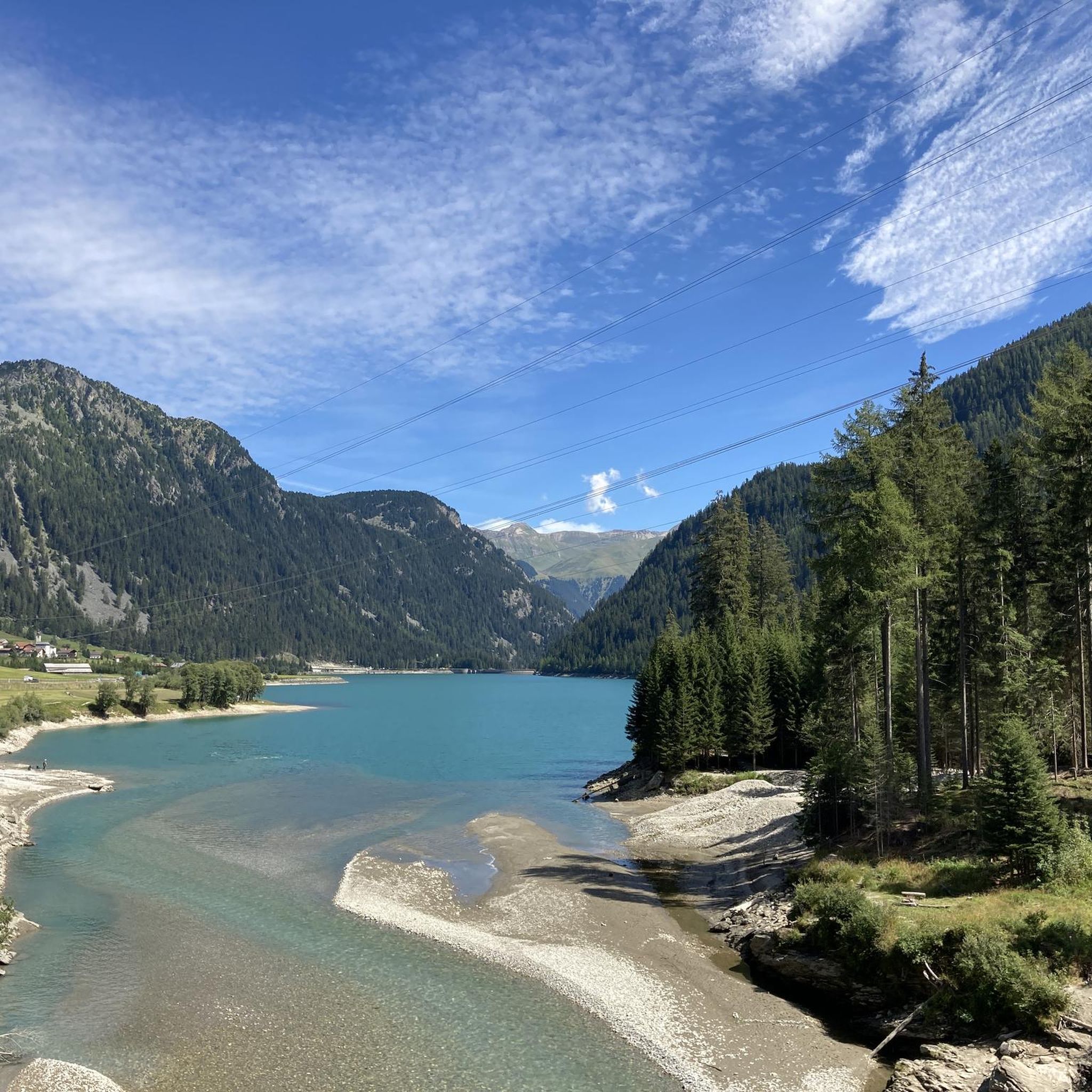
Gravel biking around Sufner Lake offers routes through the Grisons region of Switzerland, set within the Beverin Nature Park. The area is defined by its alpine setting, with the lake formed by the Sufers dam and surrounded by the peaks of the Adula Alps. This landscape provides challenging terrain with significant elevation changes, suitable for demanding gravel bike routes. Riders can expect a mix of forests, mountains, and views of the clear lake waters.
Best gravel bike trails around Sufner…
Last updated: July 2, 2026
4.7
(3)
10
riders
38.0km
03:57
1,770m
1,770m
Hard gravel ride. Very good fitness required. Mostly paved surfaces. Suitable for all skill levels.
4.5
(2)
9
riders
24.8km
02:14
260m
260m
Hard gravel ride. Good fitness required. You may need to push your bike for some segments of this route.

Sign up for free
4.8
(6)
35
riders
37.6km
04:13
1,400m
1,410m
Hard gravel ride. Very good fitness required. Mostly paved surfaces. Suitable for all skill levels.
4.7
(3)
12
riders
25.1km
02:24
1,040m
1,040m
Hard gravel ride. Very good fitness required. Mostly paved surfaces. Suitable for all skill levels.
Our route recommendations are based on thousands of hikes, rides, and runs completed by other people on komoot.
Start today with a free account
Your next adventure awaits.
Login or Signup
Tips from the Community

Since, as is often the case, the pass signs are completely covered with stickers, taking photos in front of them is no longer fun. Alternatively, you can use the boundary stone to take a "proof photo." On the other side of the road, there's another, smaller stone with the elevation: 2113 m.
0
0


Montespluga SO The mountain village of Montespluga is located at an altitude of 1908 m above sea level at the beginning of the Val San Giacomo (also called Valle Spluga), about three kilometers from the summit of the Splügen Pass. The place originated in a hollow rich in water and pastures, where the Valle Spluga meets the Val Loga, near the border peaks of the area such as Pizzo Tambo. In 1927, the construction of the dam about 2 kilometers south of Montespluga began, damming the Torrente Liro to form the Lago di Montespluga below the village. The village with its few houses, restaurants, hotels, and shops on the pass road and the old customs building "La Casa" has hardly changed. Until 1841, it housed the only hospice on the Splügen Pass and the only place of worship, the chapel of San Francesco d’Assisi. The latter was consecrated in 1832, the year after the completion of the new road to the Splügen Pass in 1822. As early as 1767, the apostolic nuncio in Switzerland and later Cardinal Luigi Valenti Gonzaga had granted permission to set up a small chapel in the hospice. Since the opening of the San Bernardino Tunnel, the pass has no longer been kept open in winter. The village, which consists of three streets (Via Dogana, Via Ferrè, and Via Val Loga), can be cut off from both Italy and Switzerland. Montespluga is the starting point for numerous hiking, mountaineering, and ski touring destinations in the surrounding mountains and a stage destination on the cross-border long-distance hiking trail Via Spluga. Text / Source: wikipedia.org https://de.wikipedia.org/wiki/Montespluga
11
0
Church of San Francesco, Montespluga, SO Church, the chapel of San Francesco d’Assisi was consecrated in 1832.
11
0
Gallery at the Splügen Pass / La Galleria from 1843 Historic avalanche gallery at the Splügen Pass The historic avalanche gallery on the north side of the Splügen Pass was completed in 1843 and made it possible to keep it open in winter even in critical conditions. After the Second World War, the Splügen remained closed during the winter months and the gallery was bypassed with a summer road. The gallery has been restored in recent years with a restoration project so that at least hikers can use it again safely. Text / Source: Civil Engineering Office, Canton of Graubünden https://www.gr.ch/DE/institutionen/verwaltung/diem/tba/aktuelles/NewsDokumente/Flyer_2011-06-23-DE_Galerie-Spluegenpass.pdf
13
0

Beautiful highlight of the crossing from Sufers to Andeer (or vice versa). Hardly any traffic, great panorama including a world view of the Piz Tambo.
2
0

Frequently Asked Questions
What is the general difficulty level of gravel biking trails around Sufner Lake?
The gravel biking trails around Sufner Lake are generally considered difficult. They feature significant elevation changes and challenging alpine terrain, often requiring good to very good fitness. Some segments may even require pushing your bike.
Are there any family-friendly gravel biking options near Sufner Lake?
While the primary gravel routes around Sufner Lake are challenging, the area does offer a family-friendly bathing meadow by the Sufers Dam. For cycling with families, you might consider exploring flatter sections or paved paths in the wider Beverin Nature Park, though dedicated easy gravel routes are not prominent in this specific guide.
What kind of landscapes can I expect to see while gravel biking around Sufner Lake?
You can expect stunning alpine landscapes, including the majestic peaks of the Adula Alps, dense forests, and the clear waters of Sufner Lake itself. The routes offer breathtaking views and a true immersion in the natural beauty of the Grisons region.
Are there any circular gravel bike routes available?
Yes, several routes are designed as loops. For instance, the Splügen - Splügen Gravel Bike loop and the Historic Village of Splügen – Montespluga loop from Splügen are excellent circular options that allow you to start and end in the same location.
What are some notable landmarks or attractions along the gravel bike trails?
Along your rides, you can encounter several interesting points. The Sufnersee itself is a central feature, with the South Shore of Lake Sufner offering expansive views. You might also pass by the Pflanzgarten Junction at the Sufnersee Dam, which created the lake, or the nearby Bathing meadow at Lake Sufner.
What do other gravel bikers enjoy most about the routes in Sufner Lake?
The routes in Sufner Lake are highly rated by the komoot community, with an average score of 4.9 stars. Riders often praise the challenging alpine terrain, the stunning natural scenery, and the rewarding views of the lake and surrounding mountains.
What is the best season for gravel biking around Sufner Lake?
Given the alpine setting and significant elevation, the best season for gravel biking around Sufner Lake is typically from late spring to early autumn (roughly May to October), when snow has melted and weather conditions are more stable. Always check local weather forecasts before heading out.
Are there any routes that offer opportunities for wild swimming?
While the lake itself is a reservoir, there is a designated Bathing meadow at Lake Sufner near the dam, which provides a spot for swimming and relaxation after your ride. The clear waters of the lake are inviting, especially on warmer days.
Where can I find parking for gravel biking near Sufner Lake?
Starting points for routes like the Lai da Vons – Sufers Village loop from Sufers or the routes originating from Splügen, such as the Splügen - Splügen Gravel Bike loop, typically have parking facilities available in or near the villages. It's advisable to check specific village information for designated parking areas.
How many gravel bike trails are featured in this guide for Sufner Lake?
This guide highlights four distinct gravel bike trails around Sufner Lake, all of which are categorized as difficult due to the challenging alpine terrain and significant elevation gains.
What is the longest gravel bike route mentioned in this guide?
The longest gravel bike route featured in this guide is the Lai da Vons – Sufers Village loop from Sufers, covering approximately 38 kilometers (23.6 miles) with substantial climbs.
Are there any routes that explore the area around Splügen?
Yes, two notable routes explore the surroundings of Splügen: the Splügen - Splügen Gravel Bike loop and the Historic Village of Splügen – Montespluga loop from Splügen. These routes offer varied surfaces and elevation changes, showcasing the alpine valleys and historic village.
Most popular routes around Sufner Lake
Most popular attractions around Sufner Lake

Get inspired with the komoot mobile app


Explore more
Browse the best Gravel rides in other regions.
