The best gravel rides around Pantà de Terradets
4.2
(8)
79
riders
4
rides
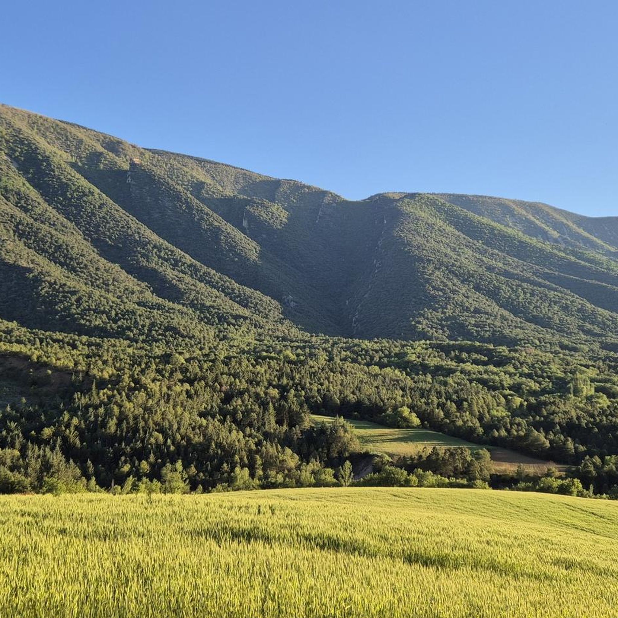
Gravel biking around Pantà de Terradets offers diverse terrain within the Montsec mountains, characterized by the dramatic Terradets Gorge where the Noguera Pallaresa river flows. The landscape features impressive cliffs over 500 meters high, such as Roca Regina, alongside vast, shaded woods of pine and oak. The reservoir, formed by the Terradets Dam, adds a unique element with its surrounding reed swamps and bank forests, providing varied surfaces for gravel cycling. This region presents a compelling environment for exploring unpaved…
Last updated: October 5, 2026
19
riders
Hard gravel ride. Very good fitness required. Mostly paved surfaces. Suitable for all skill levels.
3
riders
66.9km
05:44
1,270m
1,270m
Hard gravel ride. Very good fitness required. Mostly paved surfaces. Suitable for all skill levels.

3
riders
124km
10:25
2,500m
2,500m
Hard gravel ride. Very good fitness required. Mostly paved surfaces. Suitable for all skill levels.
9
riders
21.9km
02:23
720m
720m
Hard gravel ride. Very good fitness required. Mostly paved surfaces. Suitable for all skill levels.
8
riders
Hard gravel ride. Very good fitness required. Mostly paved surfaces. Suitable for all skill levels.
Our route recommendations are based on thousands of hikes, rides, and runs completed by other people on komoot.
Start today with a free account
Your next adventure awaits.
Tips from the Community

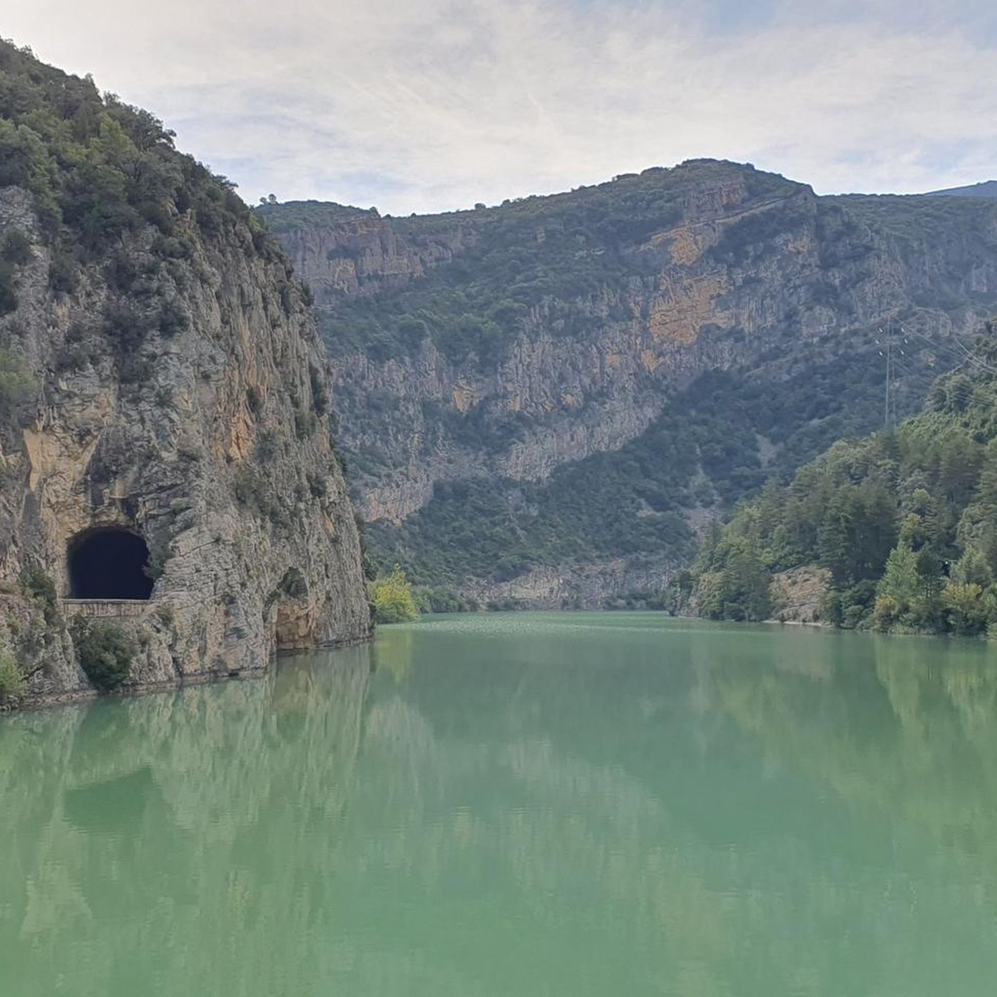
Easy hiking trail along the road. You walk directly past the cliffs and the lake. Very impressive
0
0

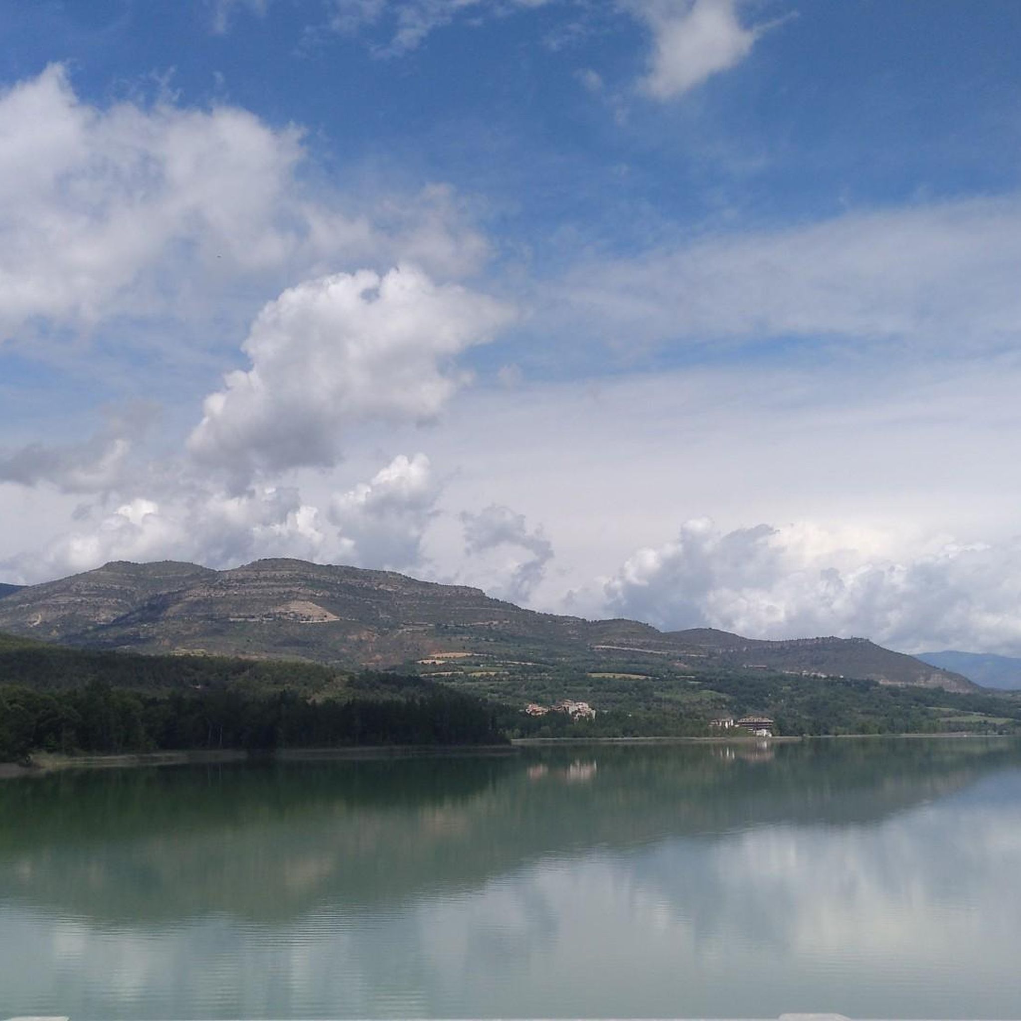
This is an area with a beautiful natural landscape, ideal for relaxing and enjoying nature. It's also an idyllic spot for a multitude of leisure activities. Its cliffs make it an attractive spot for climbing enthusiasts. Along the road that runs alongside it, you'll find several picture-postcard views.
0
0

Don't miss the return to Tremp via the Abella trail. Simply magical ;-)
0
0

It is a port in the Montsec mountain range that allows access to the beautiful valley where the town of Àger is located, with imposing vertical mountains that give a lot of charm and spectacularity to the valley, especially in spring where the green of the trees, the red of poppies and the warm yellow of wheat. The port is very stinky on both sides since the road is very wide, normally with 3 lanes, and with long straights, which take away any type of cycling attraction. However, the views from the port, especially towards the Àger valley, are spectacular. I climbed it on the southern slope, the one that begins in Balaguer. From Balaguer it is almost 25 km, with continuous ups, downs and flat areas. The final uphill section is 5.5 km at 6 - 7%, with a rest section when crossing the town of Sant Josep de Fontdepou
0
0

Good viewpoint and bar close by. Just keep in mind that when you arrive in Llimiana, there are some ramps that make you loose some cagadéo
0
0

The Estanys de Basturs Natural Area consists of two well-defined lakes: Estany Gran, with an almost circular shape, and Estany Petit, much smaller. The lakes, completely surrounded by fields of cultivation, are located between the towns of Basturs and Sant Romà d'Abella, in the Conca Dellá area, in the region of Pallars Jussá.
0
0
Documented since 1107, although its current appearance corresponds to a later temple. Its architecture is typical of the second Romanesque, and dates back to the 12th century.
0
0
Frequently Asked Questions
What kind of terrain can I expect on gravel bike trails around Pantà de Terradets?
The gravel bike trails around Pantà de Terradets offer a diverse mix of terrain. You'll find routes that include both mostly paved surfaces and more challenging unpaved segments. The landscape is characterized by the dramatic Terradets Gorge, impressive cliffs, and extensive pine and oak woodlands, providing varied surfaces for cycling.
Are there any family-friendly gravel biking options in Pantà de Terradets?
While many routes in the area are rated as difficult, the region does offer options suitable for different ability levels, including some with mostly paved surfaces. For a less strenuous experience, consider exploring the general area around the reservoir, which has easier paths. Always check the route details for specific difficulty ratings before heading out.
What are some notable natural features or viewpoints I can see along the gravel bike routes?
Gravel biking in Pantà de Terradets offers stunning views of the Montsec mountains and the dramatic Terradets Gorge, where the Noguera Pallaresa river carves through impressive cliffs like Roca Regina. Many routes provide scenic vistas of the reservoir itself. You'll also pass through vast, shaded woods of pine and oak, and discover unique reed swamps and bank forests near the water.
Are there any historical sites or attractions accessible by gravel bike?
Yes, some routes incorporate views of historic sites. For example, the Church of Santa Maria de Covet – Bartotrail loop from Vilamitjana traverses terrain near the historic Church of Santa Maria de Mur. The nearby village of Cellers is also a point of interest along some routes.
What is the best time of year for gravel biking in Pantà de Terradets?
The Montsec region, including Pantà de Terradets, is generally pleasant for outdoor activities. Spring and autumn typically offer the most comfortable temperatures for gravel biking, avoiding the peak heat of summer and potential colder, wetter conditions in winter. Always check local weather forecasts before your ride.
How long do the gravel bike routes typically take to complete?
The duration of routes varies depending on their length and difficulty. For instance, the Terradets Reservoir – View of Terradets Reservoir loop from Palau de Noguera, which is 41.3 km, typically takes around 3 hours 11 minutes. Longer routes, like the 66.6 km Church of Santa Maria de Covet – Bartotrail loop from Vilamitjana, can take significantly longer, often around 6 hours 40 minutes.
Where can I park my car when starting a gravel bike tour?
Parking options are available in villages and key access points around the reservoir. For example, the village of Cellers, which also has a train station, is a common starting point and likely offers parking facilities. Routes often start from locations like Palau de Noguera or Estació de Tremp, where you can typically find parking.
Is public transport available to reach the gravel biking areas?
Yes, the village of Cellers, located near the Pantà de Terradets, has a train station, making it accessible by public transport. This can be a convenient option for reaching some of the starting points for gravel bike routes in the area.
Are there any loop routes for gravel biking in Pantà de Terradets?
Many of the gravel bike routes in Pantà de Terradets are designed as loops, allowing you to start and finish at the same point. Examples include the Terradets Reservoir – View of Terradets Reservoir loop from Palau de Noguera and the Terradets Reservoir – Mural de Palau loop from Estació de Tremp.
What do other gravel bikers say about the trails in Pantà de Terradets?
The gravel biking routes in Pantà de Terradets are highly rated by the komoot community, with an average score of 4.8 stars from over 6 reviews. More than 50 gravel bikers have used komoot to explore the varied terrain, often praising the dramatic gorges, reservoir views, and extensive woodlands that define the region.
Are there places to eat or get refreshments near the trails?
While specific cafes directly on the trails are not detailed, the nearby villages such as Cellers and Llimiana are good places to look for cafes and restaurants where you can refuel before or after your ride. It's always a good idea to carry sufficient water and snacks, especially on longer routes.
Most popular routes around Pantà de Terradets

Get inspired with the komoot mobile app


Explore more
Browse the best Gravel rides in other regions.
