The best gravel rides around Zoggler-Stausee - Lake artificiale di Zoccolo
4.9
(9)
97
riders
5
rides
Gravel bike trails around Zoggler-Stausee - Lake artificiale di Zoccolo are situated in Italy's Val d'Ultimo (Ultental) region, offering diverse terrain for cycling. The area features an artificial reservoir at 3,652 ft (1,141 m) elevation, nestled within the Southern Rhaetian Alps and Ortler Alps. The landscape is characterized by tranquil waters, green forests, and alpine pastures, with a network of trails and forest roads suitable for gravel biking. The dam wall, over 500 meters long, serves as a starting point…
Last updated: August 31, 2026
3
riders
Hard gravel ride. Very good fitness required. Mostly paved surfaces. Suitable for all skill levels.
5.0
(2)
18
riders
Hard gravel ride. Very good fitness required. Mostly paved surfaces. Suitable for all skill levels.

Sign up for free
8
riders
27.6km
02:39
1,060m
1,060m
Hard gravel ride. Very good fitness required. Mostly paved surfaces. Suitable for all skill levels.
5.0
(3)
17
riders
20.1km
01:37
420m
420m
Moderate gravel ride. Good fitness required. Mostly paved surfaces. Suitable for all skill levels.
2
riders
6.73km
00:35
200m
200m
Moderate gravel ride. Good fitness required. Mostly paved surfaces. Suitable for all skill levels.
Our route recommendations are based on thousands of hikes, rides, and runs completed by other people on komoot.
Start today with a free account
Your next adventure awaits.
Login or Signup
Popular around Zoggler-Stausee - Lake artificiale di Zoccolo
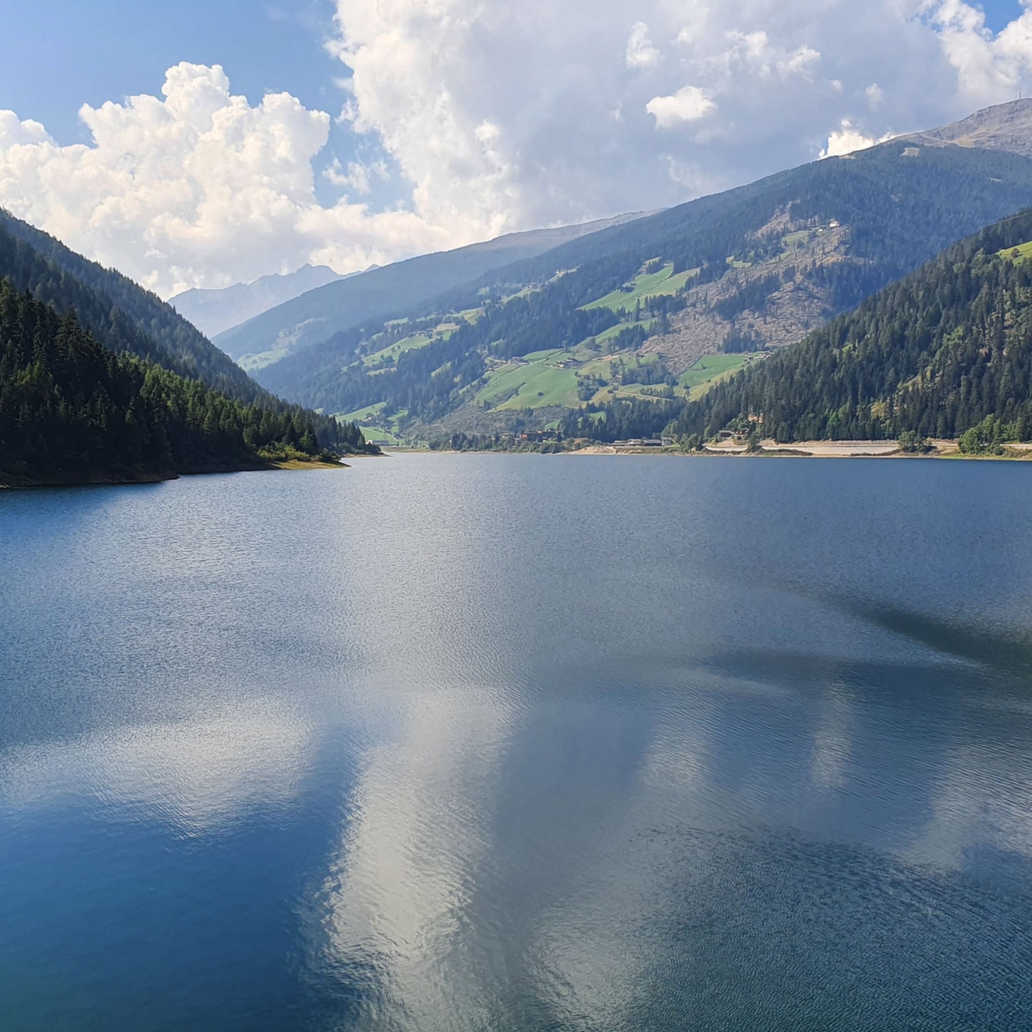
Hiking around Zoggler-Stausee - Lake artificiale di Zoccolo
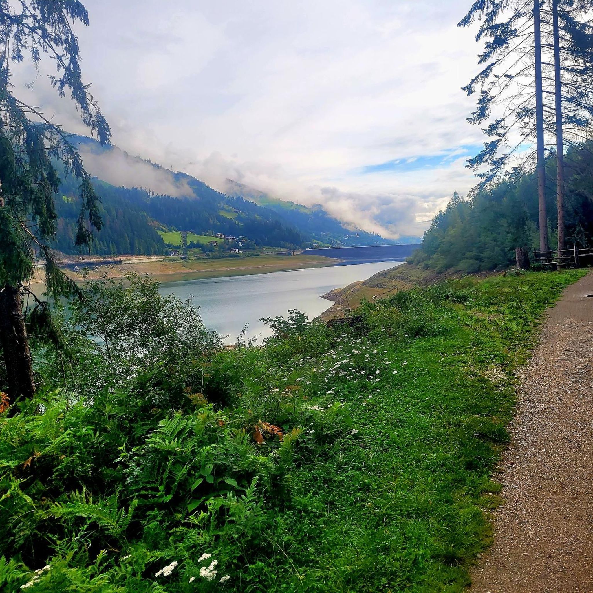
Running Trails around Zoggler-Stausee - Lake artificiale di Zoccolo
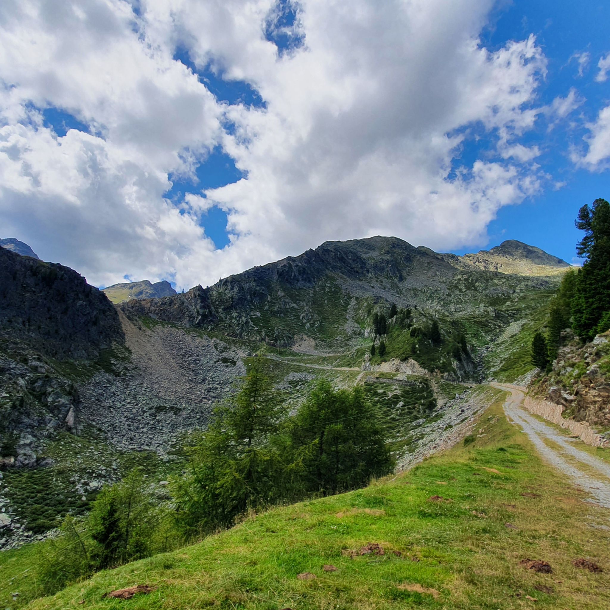
MTB Trails around Zoggler-Stausee - Lake artificiale di Zoccolo
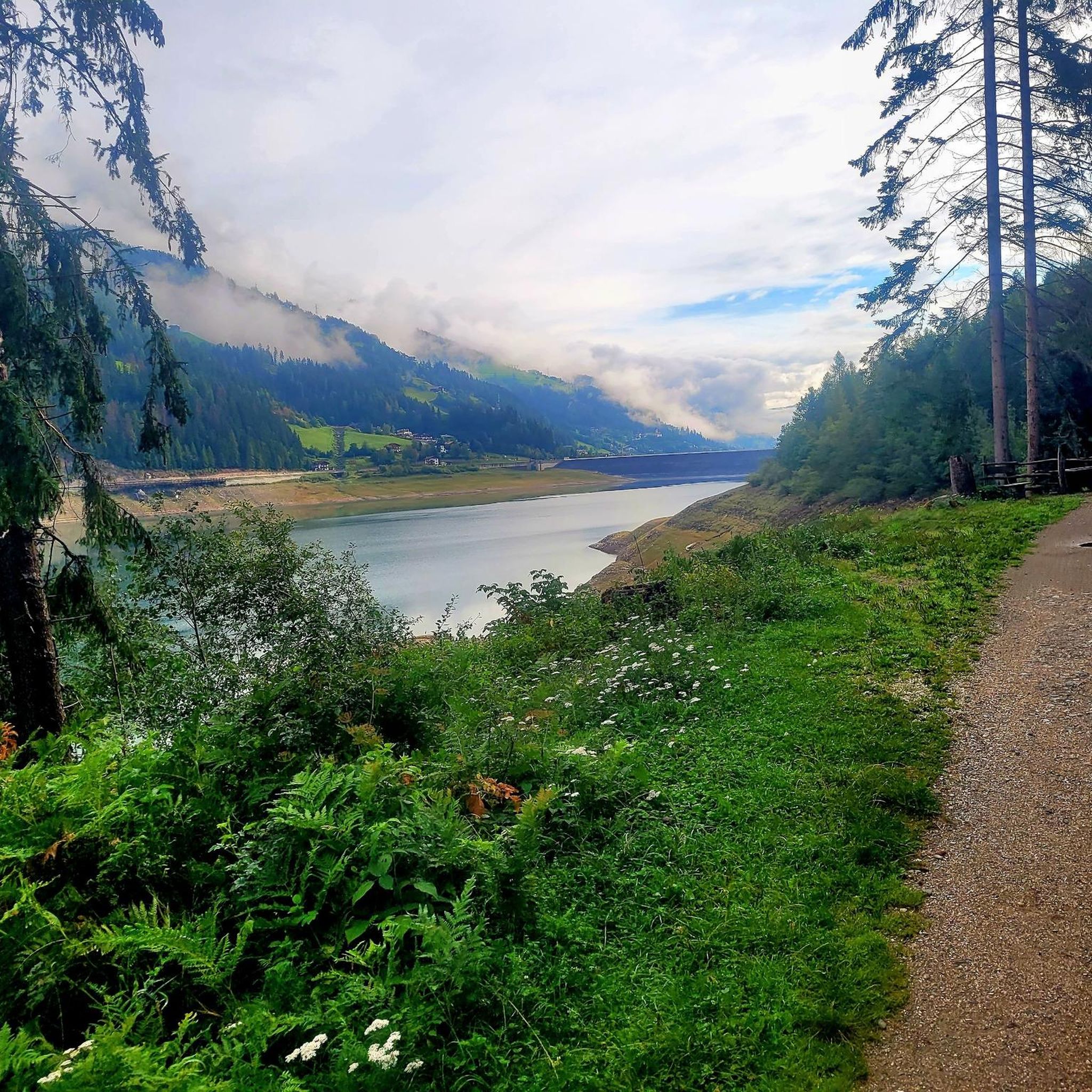
Cycling around Zoggler-Stausee - Lake artificiale di Zoccolo
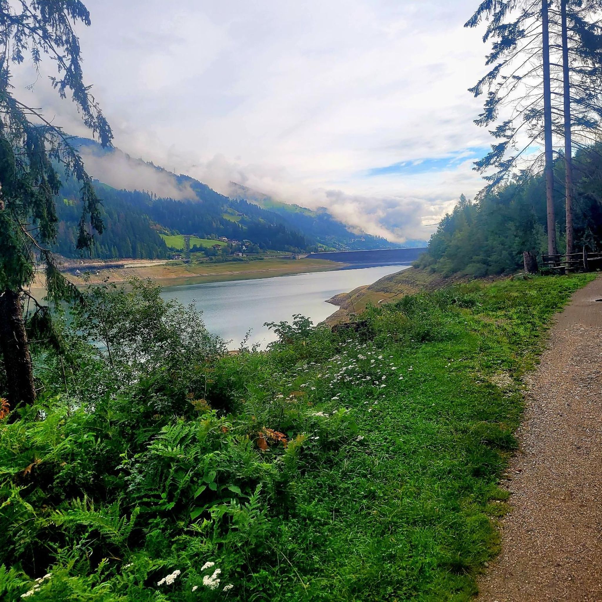
Road Cycling Routes around Zoggler-Stausee - Lake artificiale di Zoccolo
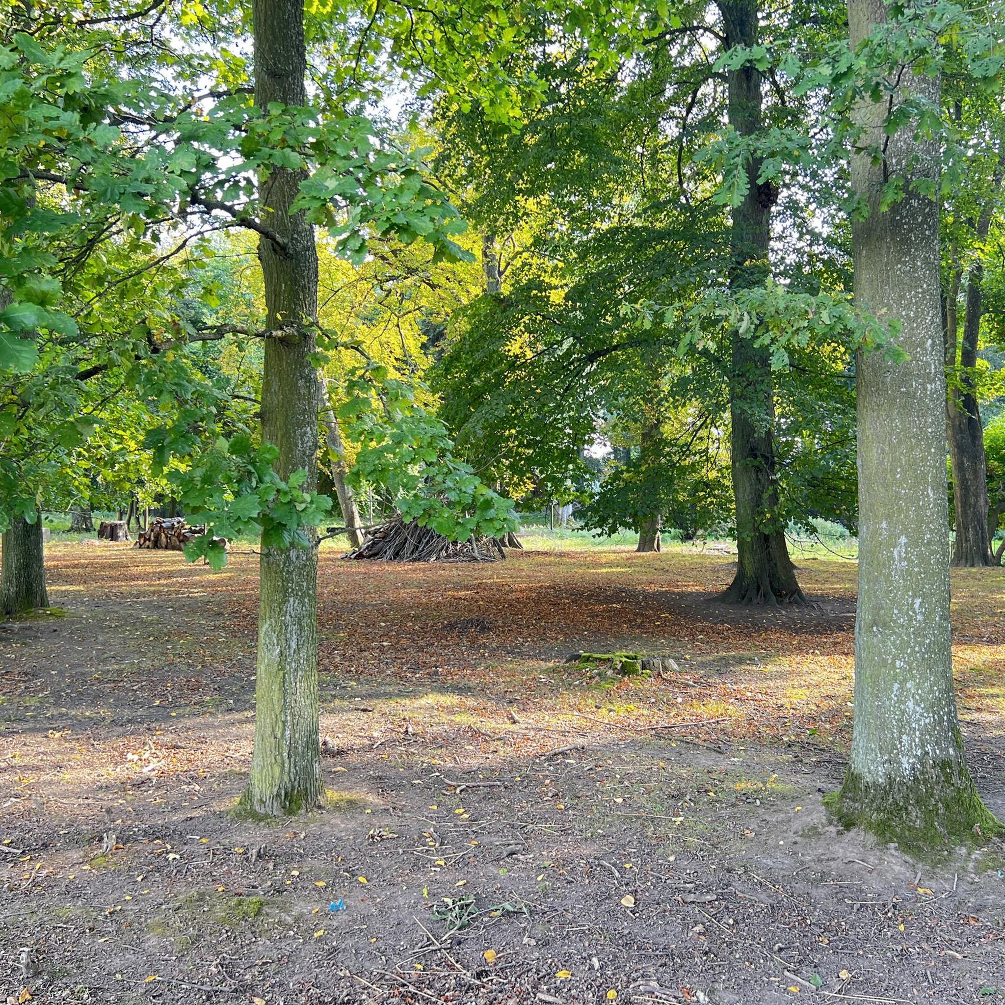
Mountain Hikes around Zoggler-Stausee - Lake artificiale di Zoccolo
Tips from the Community

The walk to the trees is very worthwhile.
3
0

impressive trees
2
0

Reservoir, very easy to reach destination. Dam wall is illuminated in the evening
1
0

In the Ulten Valley, at 1,425 m above sea level, there are three ancient larches, which are among the oldest conifers in Europe. See: https://www.meranerland.org/it/cultura-e-territorio/attrazioni/larici-secolari-della-val-dultimo/
2
0
I found the Ulten, like sequoias, very fascinating.
4
0

The primeval larches of St. Gertraud in Ultental are 850 years old and are among the oldest conifers in Europe.
3
0

Three European larches stand on the edge of a protected forest near St. Gertraud in Ultental. When one of the then four larch trees fell in 1930, it is said to have had over 2,000 annual rings. Therefore, this was also assumed for the other trees. However, since the rotten interior made an exact estimate impossible, various calculation methods were used in 2004, which resulted in an age of 850 years. The three remaining larches are among the oldest conifers in Europe. The tallest of the primeval larches is 36.5 m high, has a trunk circumference of 7 m and the top died out as a result of a lightning strike. The thickest larch with a circumference of 8.34 m is almost as high, and it also has a withered top. The third larch has a large trunk cavity and burst generations ago at a height of 6 m. The top now rises into the sky in the form of a side branch. Nevertheless, the trees turn green every year. By the way: In the Ulten Valley, larch wood has been used for the typical roof shingles for centuries, which characterize the traditional Ulten court architecture. The three Ultner larches are also important as a shelter for plants and animals such as martens and bats. That's why they are called "Bat Larch" by the residents. In 1979 they were placed under protection and stabilized and are now part of the world natural heritage. A 30-minute walk begins below St. Gertraud and leads to the ancient larches. A trilingual display board tells of the ancient trees. The Ultner Höfeweg, on the other hand, leads from Dreieckwies to the Urlärchen in around 2.5 hours. There are more ancient larches in the upper Passeier Valley, along the ancient larch path in Platt. Source: https://www.meranerland.org/de/highlights/sightseeing/ultner-urlaerchen/
2
0
Three European larches stand on the edge of a protected forest near St. Gertraud in Ultental. When one of the then four larch trees fell in 1930, it is said to have had over 2,000 annual rings. Therefore, this was also assumed for the other trees. However, since the rotten interior made an exact estimate impossible, various calculation methods were used in 2004, which resulted in an age of 850 years. The three remaining larches are among the oldest conifers in Europe. The tallest of the primeval larches is 36.5 m high, has a trunk circumference of 7 m and the top died out as a result of a lightning strike. The thickest larch with a circumference of 8.34 m is almost as high, and it also has a withered top. The third larch has a large trunk cavity and burst generations ago at a height of 6 m. The top now rises into the sky in the form of a side branch. Nevertheless, the trees turn green every year. By the way: In the Ulten Valley, larch wood has been used for the typical roof shingles for centuries, which characterize the traditional Ulten court architecture. Source: https://www.meranerland.org/de/highlights/sightseeing/ultner-urlaerchen/
3
0
Frequently Asked Questions
How many gravel bike trails are available around Zoggler-Stausee - Lake artificiale di Zoccolo?
There are 5 gravel bike trails available around Zoggler-Stausee - Lake artificiale di Zoccolo, offering diverse terrain for cycling enthusiasts.
Are there any easy gravel bike trails suitable for beginners or families?
Yes, there are moderate options available. For example, the Water Mill in the Forest – Zoccolo Reservoir loop from St. Walburg - Santa Valburga is a moderate 15.8-mile (25.5 km) path that offers a balanced ride through forests and along the reservoir. The region's new hiking and cycling trail encircling the lake also provides an accessible route.
What kind of terrain can I expect on gravel bike trails in this region?
The terrain around Zoggler-Stausee - Lake artificiale di Zoccolo is characterized by alpine pastures, green forests, and the tranquil waters of the reservoir. You'll find a mix of forest roads and riding trails, with options ranging from accessible routes around the lake to more challenging paths with significant elevation gains, particularly in the Southern Rhaetian and Ortler Alps.
What are some notable landmarks or scenic viewpoints along the gravel bike routes?
The Zoggler-Stausee region offers several scenic spots. You can enjoy views of the Zoggler Reservoir and its impressive dam, which is over 500 meters long and serves as a starting point for many trails. The Watermill on the Kneipp Trail and the Kneipp Oases Trail on the south shore of the lake are also points of interest.
What is the best season for gravel biking around Zoggler-Stausee?
The region is appealing throughout the warmer months. In summer, the lake is popular for bathing, and the green forests are lush. In autumn, the landscape transforms with vibrant colors, making it a picturesque time for cycling. Always check local weather conditions before heading out.
Are there any loop trails for gravel biking in the area?
Yes, many of the gravel bike trails are loops. For instance, the popular Zoccolo Reservoir – Water Mill in the Forest loop from Zoggler-Stausee - Lago artificiale di Zoccolo is a challenging 16.6-mile (26.7 km) route. Another option is the Zoccolo Reservoir – Water Mill in the Forest loop from Ulten - Ultimo, which is a moderate 20.6 km (12.8 miles) ride.
What do other gravel bikers enjoy most about the Zoggler-Stausee region?
The area is highly rated by the komoot community, with an average score of 4.6 stars from over 22 reviews. Riders often praise the diverse terrain, the stunning alpine scenery, and the mix of accessible and challenging trails that cater to various skill levels.
Are there any particularly challenging gravel bike routes for experienced riders?
Yes, for experienced riders seeking a challenge, routes like the Water Mill in the Forest – Zoccolo Reservoir loop from Ulten - Ultimo offer significant elevation gains over 17.2 miles (27.7 km). The Zoccolo Reservoir – Water Mill in the Forest loop from Pankrazer Stausee - Lago di Alborelo is also a difficult, longer option at 51.7 km (32.1 miles) with substantial climbing.
Is there public transport available to reach the Zoggler-Stausee area?
While specific public transport details for gravel biking access aren't provided, the Zoggler-Stausee is located in Italy's Val d'Ultimo (Ultental) region, which typically has bus services connecting villages. It's advisable to check local bus schedules for routes to Santa Valburga or Pracupola, which are near the lake.
Are there cafes or restaurants near the gravel bike trails?
The villages of Santa Valburga and Pracupola, located near the lake, are likely to offer cafes and restaurants. The traditional Pracupola Market is also held annually near the lake's paragliding landing place, which could be a good spot for refreshments during certain times of the year.
Where can I park my car when visiting the Zoggler-Stausee for gravel biking?
The dam wall, which is over 500 meters long, serves as a starting point for various trails, suggesting it's a common access point. Parking facilities are generally available in the vicinity of popular outdoor destinations like Zoggler-Stausee, particularly near the villages of Santa Valburga and Pracupola. Look for designated parking areas upon arrival.
Most popular routes around Zoggler-Stausee - Lake artificiale di Zoccolo
Most popular attractions around Zoggler-Stausee - Lake artificiale di Zoccolo

Get inspired with the komoot mobile app


Explore more
Browse the best Gravel rides in other regions.
