The best gravel rides around Olanger Lake - Lake di Valdaora
4.5
(190)
2,071
riders
46
rides
Gravel biking around Olanger Lake - Lake di Valdaora offers routes through diverse Alpine foothills. The region features the lake itself, surrounded by rolling hills and views towards the Dolomites. River valleys and forested sections characterize many of the gravel bike trails, providing varied terrain for riders.
Best gravel bike trails around Olanger Lake - Lake di Valdaora
- The most popular gravel bike trail is Lake Valdaora – View of Lake in the Dolomites loop from Olang - Valdaora,…
Last updated: July 5, 2026
4.8
(6)
18
riders
19.1km
01:03
210m
210m
Moderate gravel ride. Good fitness required. Mostly paved surfaces. Suitable for all skill levels.
4.8
(8)
189
riders
92.5km
08:05
2,060m
2,060m
Hard gravel ride. Very good fitness required. You may need to push your bike for some segments of this route.

Sign up for free
4.7
(21)
168
riders
Hard gravel ride. Very good fitness required. Mostly paved surfaces. Suitable for all skill levels.
4.8
(23)
165
riders
Hard gravel ride. Very good fitness required. Mostly paved surfaces. Suitable for all skill levels.
4.9
(8)
118
riders
Hard gravel ride. Very good fitness required. Mostly paved surfaces. Suitable for all skill levels.
Get access to more routes and recommendations from other explorers.
Sign up for free
Already have an account?
Our route recommendations are based on thousands of hikes, rides, and runs completed by other people on komoot.
Start today with a free account
Your next adventure awaits.
Login or Signup
Popular around Olanger Lake - Lake di Valdaora
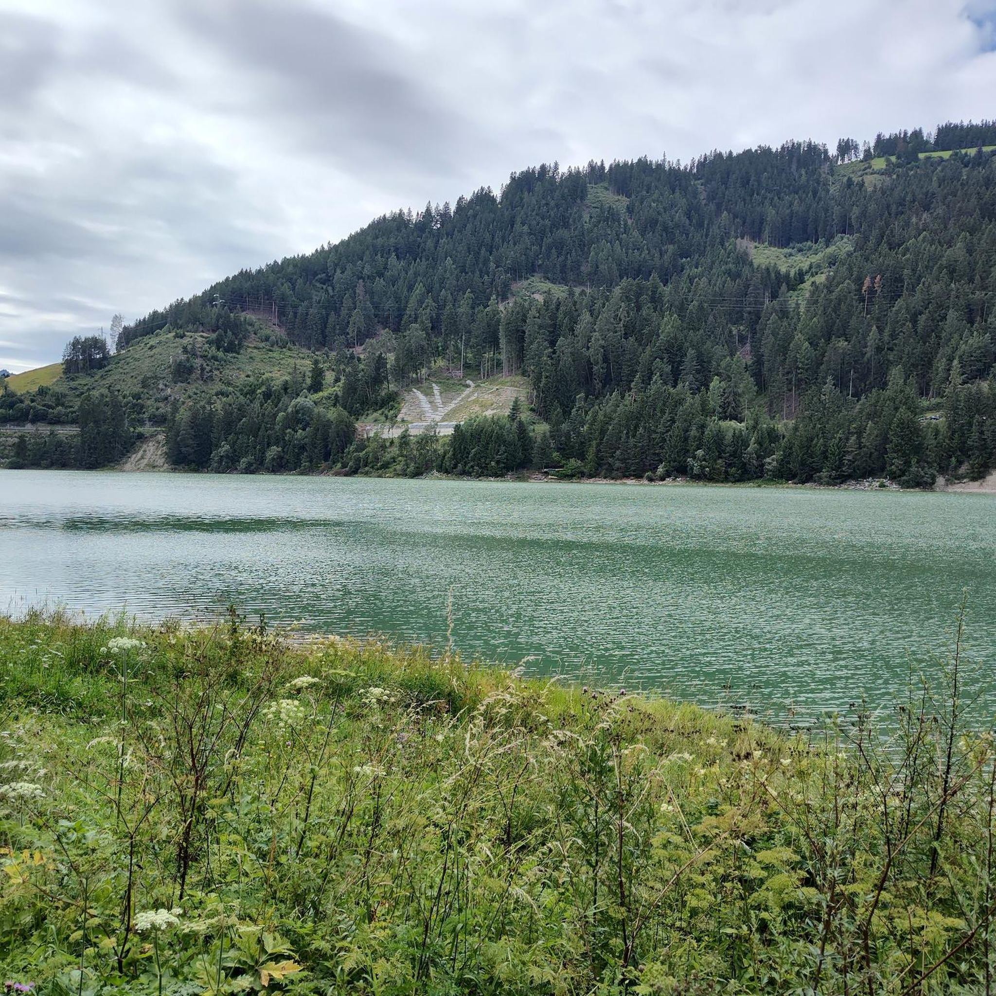
MTB Trails around Olanger Lake - Lake di Valdaora
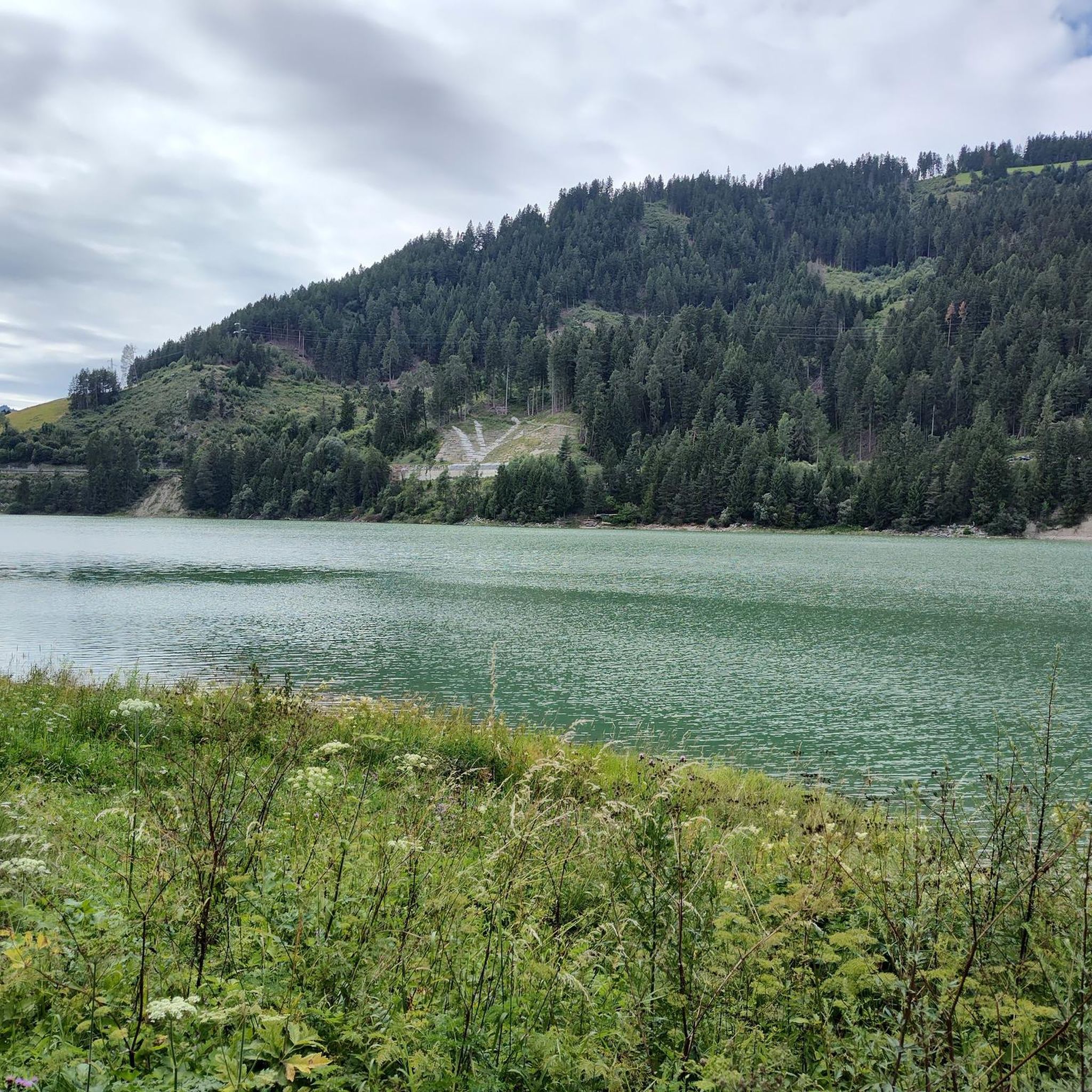
Cycling around Olanger Lake - Lake di Valdaora
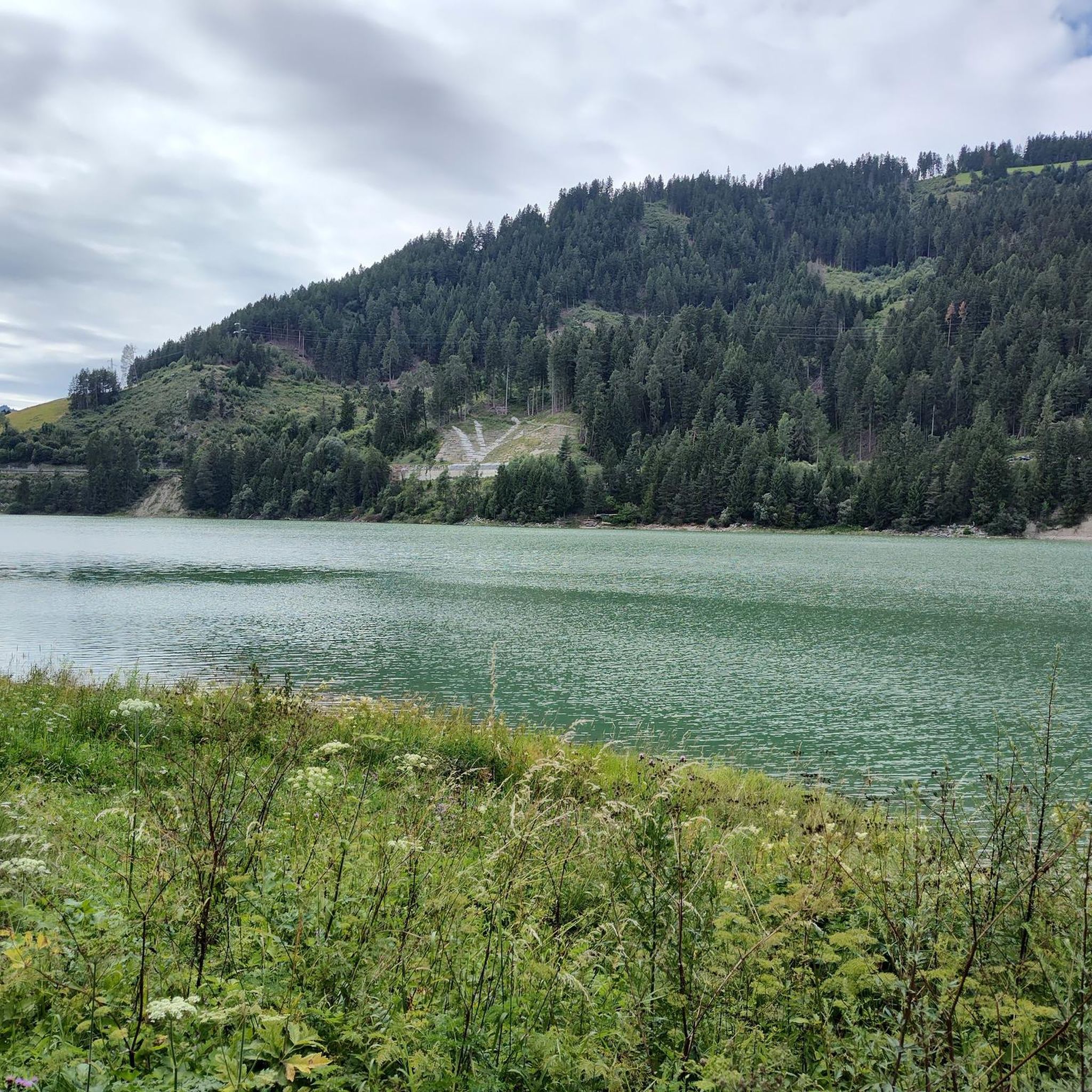
Road Cycling Routes around Olanger Lake - Lake di Valdaora
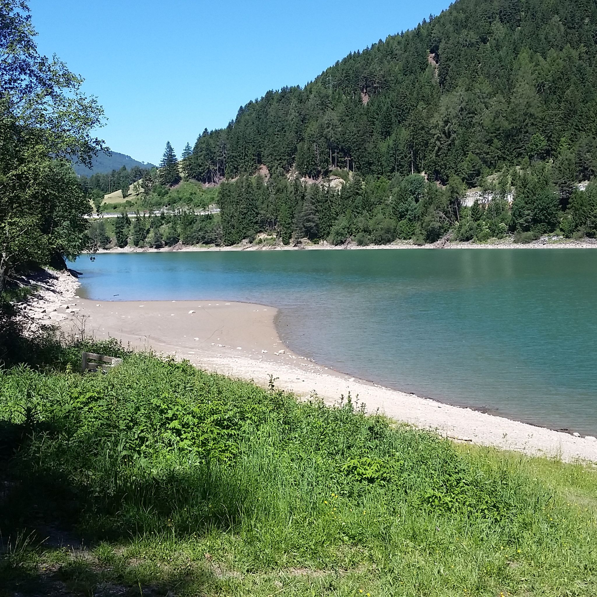
Hiking around Olanger Lake - Lake di Valdaora
Running Trails around Olanger Lake - Lake di Valdaora
Mountain Hikes around Olanger Lake - Lake di Valdaora
Tips from the Community

Good quzality gravel cycle route around the lake works well for road bicycles. Much better than the heavy traffic main road.
0
0

Beautiful cycle path, beautiful mountains
0
0
Beautiful lake, bad bike path
0
0

Lake Braies (Italian: Lago di Braies) lies at an altitude of approximately 1,500 meters in the Prags Valley, a side valley of the Puster Valley. It is considered one of the most beautiful lakes in the region and is often called the "Pearl of the Dolomites" due to its clear, emerald green to turquoise-blue shimmering water. Surrounded by steep rock faces and dense forests, the lake offers an impressive natural backdrop and is one of the most photographed motifs in South Tyrol. It is approximately 1.2 kilometers long, up to 36 meters deep, and can be circumnavigated on foot in about an hour on a scenic circular path. Excursions in traditional wooden rowboats are particularly popular in summer, lending the lake a romantic character. In addition to its scenic beauty, the lake also has historical significance, as it was the scene of a liberation of concentration camp prisoners during World War II. An information panel about this is located at the entrance to the Chapel of St. Mary.
38
0

Very good food (Kaiserschmarren is recommended!!) and ambience - but it can get very crowded.
0
0

The tunnel is currently closed due to a rock fall. https://www.bruneck.com/en/activities/bike/cycling The site is showing a pop up after opening - also with a detour map.
2
0

Beautifully situated mountain village with the opportunity to refuel and refresh yourself in a small snack bar.
0
0

The first "real" view of the Dolomites when driving up the Pustertal.
0
0
Frequently Asked Questions
How many gravel bike trails are available around Olanger Lake - Lake di Valdaora?
There are over 50 gravel bike trails in the Olanger Lake - Lake di Valdaora region. These routes cater to various skill levels, from moderate loops to challenging long-distance rides.
Are there any family-friendly gravel bike routes near Olanger Lake?
Yes, the region offers several moderate routes suitable for families. For a scenic and manageable ride, consider the View of Valdaora (Olang) – View of the Dolomites loop from Olang-Antholz - Valdaora-Anterselva, which covers 21.7 km with moderate elevation changes.
What are the most challenging gravel bike trails in the Valdaora area?
For experienced gravel bikers seeking a challenge, the region has numerous difficult routes. One notable option is the Klammlrunde - Gravel tour in South Tyrol, a demanding 92.5 km path with significant elevation changes that explores broader South Tyrol landscapes.
What can I see along the gravel bike trails around Olanger Lake?
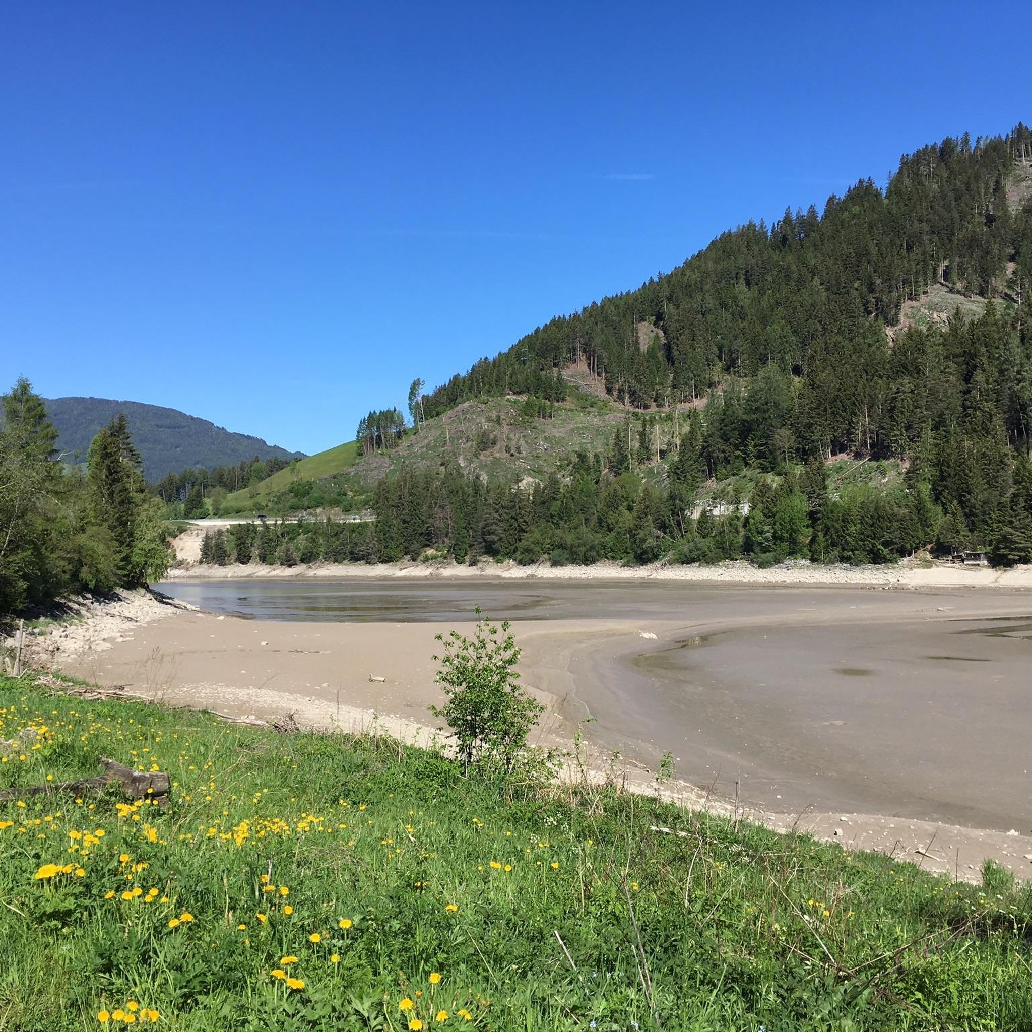
Many gravel bike trails offer views of the lake and surrounding mountains. You can also explore highlights like Lake Olang (Olanger Reservoir) and Lake Valdaora (Olanger See). Some routes also pass through river valleys and forested sections, providing diverse scenery.
Are there any circular gravel bike trails in the Olanger Lake region?
Yes, many routes in the area are designed as loops. A popular circular route is the Lake Valdaora – View of Lake in the Dolomites loop from Olang - Valdaora, which offers scenic views of the lake and mountains over 19.1 km.
What do other gravel bikers enjoy most about gravel biking in Olanger Lake - Lake di Valdaora?
The area is highly rated by the komoot community, with an average score of 4.8 stars from over 170 reviews. Reviewers often praise the diverse terrain, ranging from lake views and river valleys to mountain passes, and the options available for different ability levels.
Where can I find parking for gravel biking near Olanger Lake?
Parking is generally available in and around the towns of Olang and Valdaora, which serve as common starting points for many routes. Specific parking details can often be found on individual route pages on komoot.
Are there any long-distance gravel tours that explore more of South Tyrol from Olanger Lake?
Yes, for those looking for longer adventures, routes like the Furkel Pass / Passo Furcia – View of the Fanes Valley loop from Olang-Antholz - Valdaora-Anterselva offer extensive exploration. This difficult route covers nearly 90 km and includes significant elevation gains, leading through varied South Tyrolean landscapes.
What is the best time of year for gravel biking around Olanger Lake?
The best time for gravel biking around Olanger Lake is typically from late spring to early autumn (May to October). During these months, the weather is generally favorable, and trails are clear of snow, offering optimal riding conditions.
Are there any routes that follow river valleys in the Olanger Lake area?
Yes, the region features routes that traverse river valleys. The Rienz River in Bruneck – Strada Pliscia loop from Olang-Antholz - Valdaora-Anterselva is a 52.0 km trail that leads through the Rienz River valley, offering a different type of scenic experience.
Are there places to rest or find facilities along the gravel routes?
Yes, some routes pass by facilities. For example, you might find a Rest area by Lake Valdaora or a Shelter at Lake Olang (Olanger Stausee), providing convenient spots for a break.
Most popular routes around Olanger Lake - Lake di Valdaora
Most popular attractions around Olanger Lake - Lake di Valdaora

Get inspired with the komoot mobile app


Explore more
Browse the best Gravel rides in other regions.
