The best gravel rides around Lago di Garlate
4.4
(106)
897
riders
21
rides
Gravel biking around Lago di Garlate offers varied terrain, characterized by its proximity to the lake and surrounding hills. The region features a mix of lakeside paths, forested sections, and ascents towards higher elevations like Valcava Pass and Artavaggio Plateau. These routes often provide views of the lake and the pre-alpine landscape. The area's topography includes both gentle gradients near the water and more challenging climbs into the hills.
Best gravel bike trails around Lago di Garlate
- The most popular…
Last updated: July 8, 2026
5.0
(1)
79
riders
71.5km
05:31
2,230m
2,230m
Hard gravel ride. Very good fitness required. Mostly paved surfaces. Suitable for all skill levels.
9
riders
96.3km
07:27
2,880m
2,880m
Hard gravel ride. Very good fitness required. Mostly paved surfaces. Suitable for all skill levels.

Sign up for free
7
riders
75.2km
05:32
1,620m
1,620m
Hard gravel ride. Very good fitness required. You may need to push your bike for some segments of this route.
4.6
(32)
198
riders
47.9km
03:05
220m
220m
Moderate gravel ride. Good fitness required. Mostly paved surfaces. Suitable for all skill levels.
46
riders
53.2km
04:15
1,720m
1,720m
Hard gravel ride. Very good fitness required. Mostly paved surfaces. Suitable for all skill levels.
Get access to more routes and recommendations from other explorers.
Sign up for free
Already have an account?
Our route recommendations are based on thousands of hikes, rides, and runs completed by other people on komoot.
Start today with a free account
Your next adventure awaits.
Login or Signup

Tips from the Community

The Morterone climb is an iconic and fascinating cycling ascent in the Lecco area, starting from Ballabio and leading to the village of the same name, known for being one of the smallest in Italy. Far from traffic, it unfolds on a narrow road immersed in nature, with manageable gradients but a road surface that is occasionally uneven. Technical Route Data Starting point: Ballabio (reachable from Lecco) Ending point: Morterone (after passing the Forcella di Olino) Length: Approximately 8.5 km (from Ballabio to the Forcella), or approximately 17-20 km starting from the center of Lecco Elevation gain: Approximately 550 m (from Ballabio) Average gradient: Approximately 5% (with maximum sections at 9-10%)
1
0
The main inhabited center of Roncola is situated on a ridge at about 854 meters above sea level, near which flows the Valdimagnino loop. The remaining hamlets, including Roncola Alta, San Defendente, and Cà Maltroti, occupy the northern slope of this ridge, at altitudes ranging from 600 to over 1000 meters.
0
0

scenic, nice curves, not tiring, a classic of the area
0
0

The Palio Coast in the upper Imagna Valley is a spectacular spectacle...
0
1

A beautiful climb with very little traffic. Very scenic and beautiful.
0
0
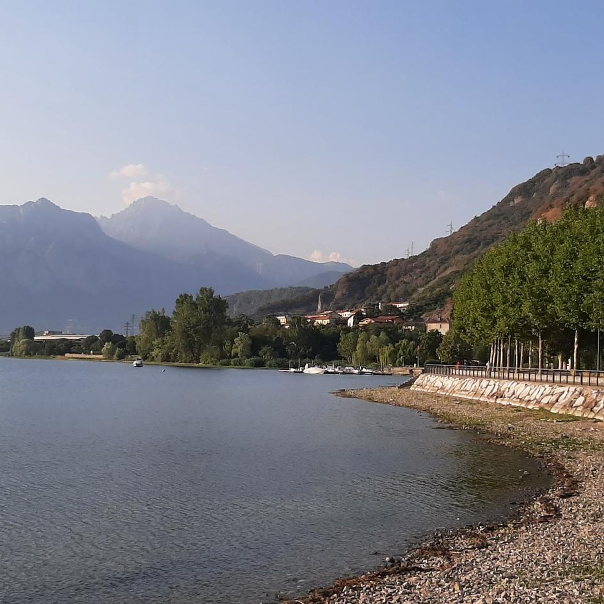
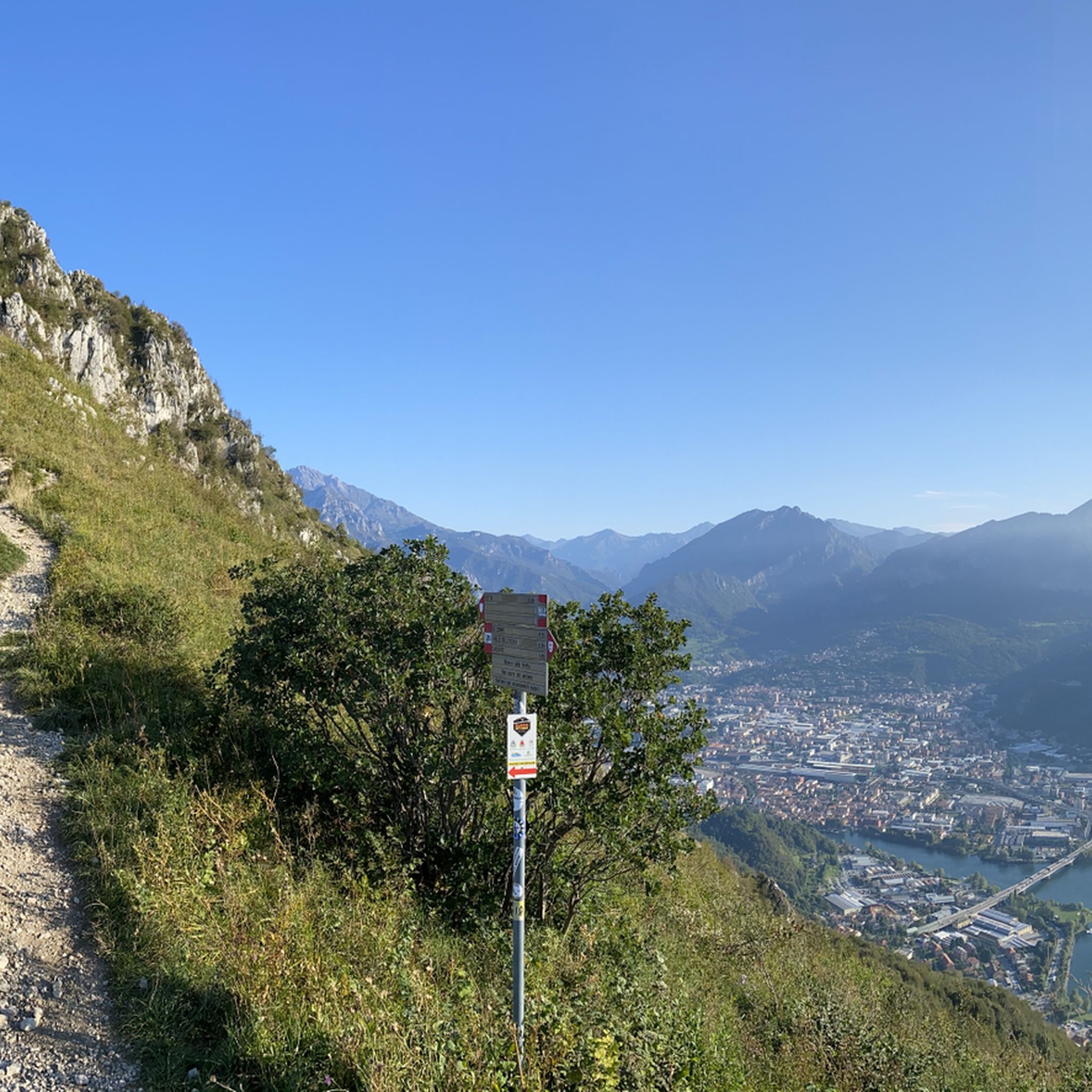
Spectacular view towards the tip of Lake Lecco, Grigna and Resegone
0
0

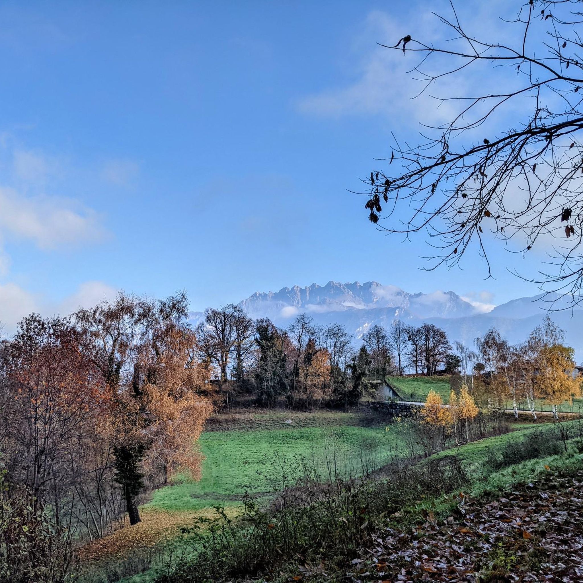
The beauty of the views will reward you for all your efforts.
0
0
The climb to Forcella di Olino and then Morterone is one of the most extraordinary cycling experiences you can have in the Lecco area. The beauty of the views makes up for all the effort.
2
0
Frequently Asked Questions
What is the general difficulty level of gravel biking around Lago di Garlate?
Gravel biking around Lago di Garlate offers a mix of moderate and difficult routes. While there are no easy routes listed, you'll find 7 moderate trails and 33 difficult trails, often featuring significant elevation gains towards areas like Valcava Pass and Artavaggio Plateau. The terrain includes both gentle gradients near the lake and more challenging climbs into the hills.
Are there any gravel bike trails suitable for beginners around Lago di Garlate?
The majority of gravel bike trails around Lago di Garlate are rated as moderate or difficult, with no routes specifically categorized as easy. Beginners might find the sustained climbs and varied terrain challenging. However, some lakeside sections offer gentler gradients, which could be suitable for less experienced riders looking for shorter, less demanding outings.
What are some challenging gravel bike routes for experienced riders?
Experienced gravel bikers looking for a challenge can explore routes with significant elevation gain. One such route is the Roncola village center – Valcava Pass loop from Calolziocorte-Olginate, which covers 41.9 miles (67.5 km) with over 1600 meters of ascent. Another option is the View of Lake Garlate – Artavaggio Plateau loop from Calolziocorte-Olginate, a demanding 59.9 miles (96.5 km) trail leading through mountainous terrain with lake views.
What are the typical durations for gravel bike rides in the Lago di Garlate area?
Ride durations vary significantly based on the route's length and difficulty. For example, the Brivio Castle – Brivio Bridge loop from Calolziocorte-Olginate is a moderate 14.3 miles (23 km) ride that typically takes around 1 hour 40 minutes. Longer, more difficult routes like the Brivio Castle – Valcava Pass loop from Vercurago-San Girolamo can take over 5 hours to complete.
Are there many circular gravel bike routes available?
Yes, many of the gravel bike routes around Lago di Garlate are designed as loops, allowing you to start and end at the same point. This includes popular options such as the Valcava Pass – Valcava Pass loop from Calolziocorte-Olginate and the Brivio Castle – Brivio Bridge loop from Calolziocorte-Olginate.
What can I see along the gravel bike trails around Lago di Garlate?
Many routes offer scenic views of Lago di Garlate and the surrounding pre-alpine landscape. You can also encounter interesting landmarks such as the Olginate Dam and the Garlate Lakeside Promenade. Some trails pass by areas like Parco Le Torrette on Lake Garlate, offering pleasant stops.
Are there any interesting landmarks or points of interest near the gravel trails?
Beyond the lake itself, you can find several points of interest. The Olginate Dam is a notable man-made structure. For those interested in the natural beauty, the Lake Garlate (West Shore) and Lake Olginate offer picturesque views. Some routes also feature challenging sections like the Pescate–Galbiate Climb.
What do other gravel bikers enjoy the most about gravel biking in Lago di Garlate?
The area is highly rated by the komoot community, with an average score of 4.5 stars from over 60 reviews. Gravel bikers often praise the varied terrain, which includes beautiful lake views, challenging mountain passes, and serene forested sections. The mix of moderate and difficult routes also caters to different skill levels, providing a rewarding experience for many.
What is the best time of year for gravel biking around Lago di Garlate?
The best time for gravel biking around Lago di Garlate is generally during spring and autumn when temperatures are milder and the scenery is vibrant. Summer can also be pleasant, especially in the mornings or late afternoons, though some higher elevation sections might be warmer. Winter conditions can bring colder temperatures and potentially snow at higher altitudes, making some routes more challenging or inaccessible.
Are there any cafes or places to stop for refreshments along the gravel trails?
While specific cafes are not listed for each route, the towns and villages surrounding Lago di Garlate, such as Calolziocorte-Olginate and Vercurago-San Girolamo, offer various amenities. You can typically find cafes, restaurants, and shops in these areas to refuel before or after your ride, or during a stop if your route passes through them.
Are there any viewpoints along the gravel bike routes offering scenic vistas?
Yes, many gravel bike routes around Lago di Garlate are known for their scenic viewpoints. Trails that ascend towards higher elevations like Valcava Pass and Artavaggio Plateau often provide panoramic views of the lake and the pre-alpine landscape. The View of Lake Garlate – Artavaggio Plateau loop, for instance, is specifically highlighted for its lake views.
Most popular routes around Lago di Garlate
Most popular attractions around Lago di Garlate

Get inspired with the komoot mobile app


Explore more
Browse the best Gravel rides in other regions.
