The best gravel rides around Lake Moro
4.1
(9)
196
riders
13
rides
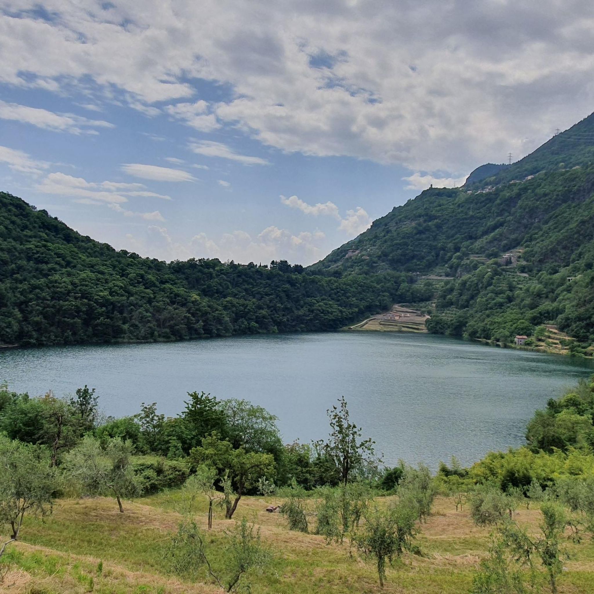
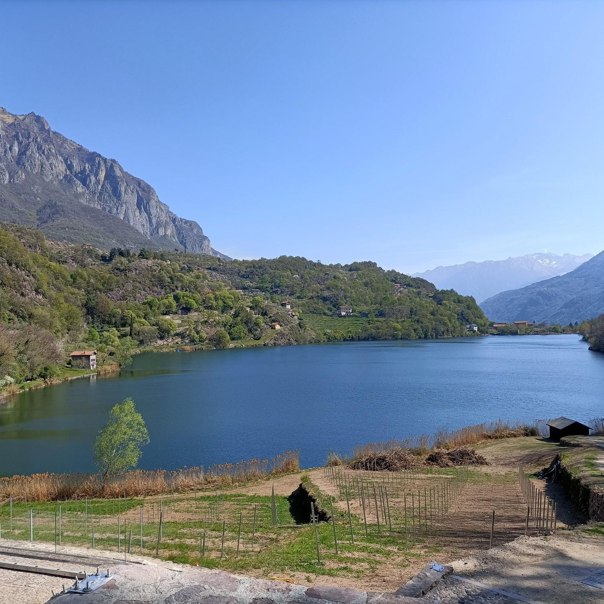
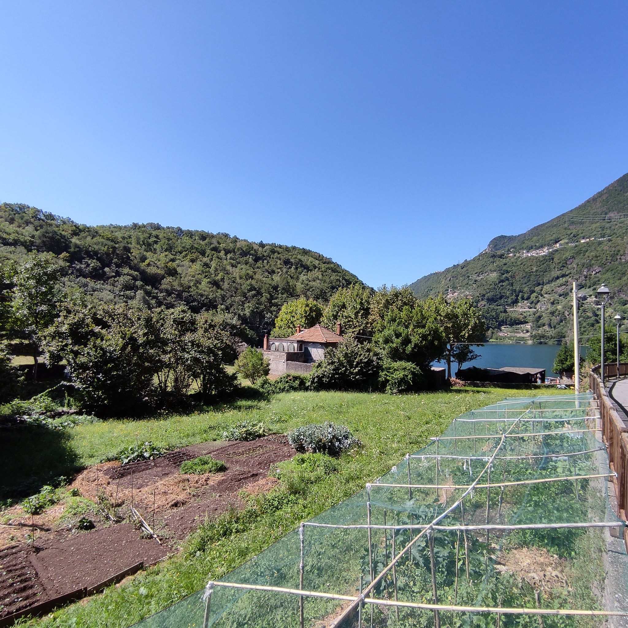
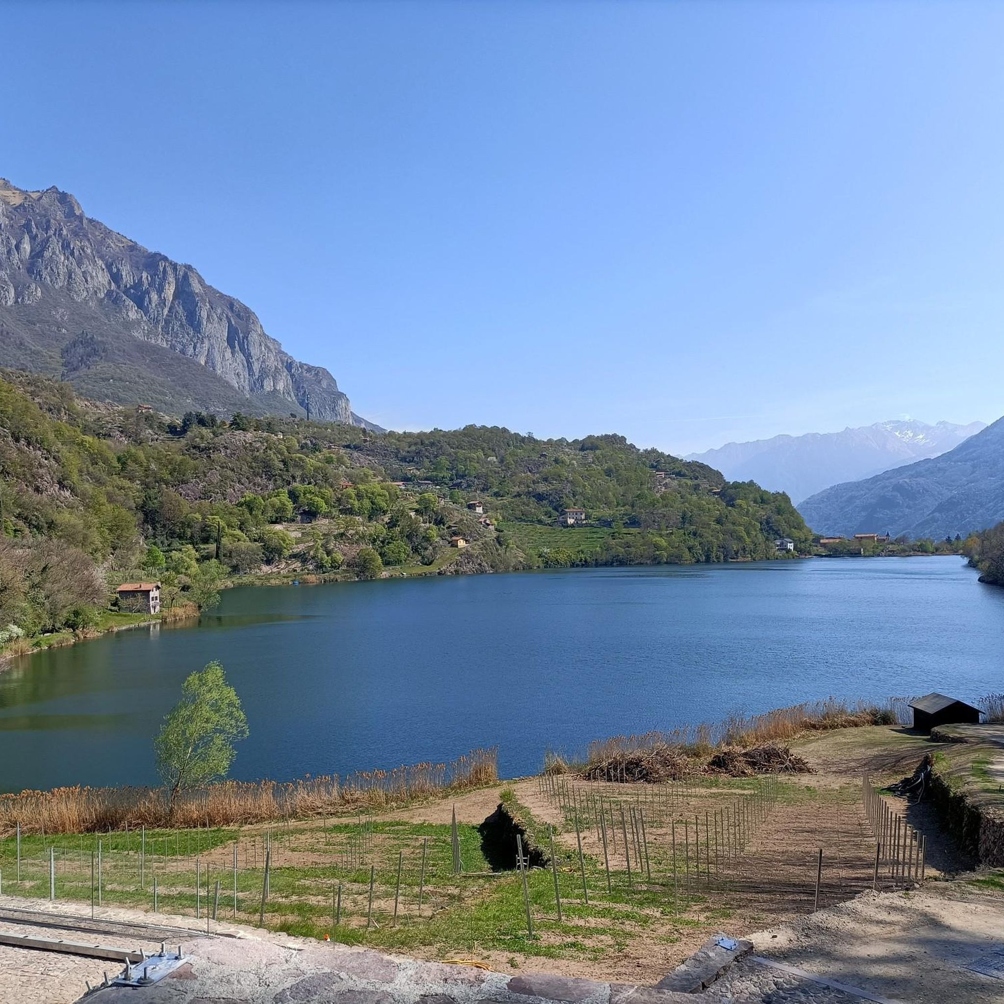
Gravel biking around Lake Moro offers a diverse landscape characterized by the lake's shores, surrounding hills, and the nearby Valle Camonica. The region features varied terrain, including paved sections, gravel paths, and some unpaved tracks, suitable for gravel bikes. Elevations range from gentle inclines along the lake to more significant climbs into the surrounding hills. The area provides a mix of open views and routes through wooded sections, including chestnut woods and olive groves.
Best gravel bike trails around Lake…
Last updated: July 5, 2026
2
riders
62.6km
04:46
1,540m
1,540m
Hard gravel ride. Very good fitness required. You may need to push your bike for some segments of this route.
7
riders
26.8km
01:51
440m
440m
Moderate gravel ride. Good fitness required. Mostly paved surfaces. Suitable for all skill levels.

Sign up for free
3.8
(4)
15
riders
Moderate gravel ride. Good fitness required. Mostly paved surfaces. Suitable for all skill levels.
6
riders
75.5km
06:14
2,180m
2,180m
Hard gravel ride. Very good fitness required. Mostly paved surfaces. Suitable for all skill levels.
2.0
(1)
3
riders
40.5km
03:10
1,120m
1,120m
Hard gravel ride. Very good fitness required. You may need to push your bike for some segments of this route.
Get access to more routes and recommendations from other explorers.
Sign up for free
Already have an account?
Our route recommendations are based on thousands of hikes, rides, and runs completed by other people on komoot.
Start today with a free account
Your next adventure awaits.
Login or Signup
Tips from the Community

By train to Edolo and then by bike up to Ponte di legno. The next day, departure in four stages to Mantua. Beautiful cycle path. Recommended
0
0

🏔️ Monte Altissimo — Identity and location Monte Altissimo is the highest peak of the short mountain range that separates Bassa Val Camonica and Valle di Scalve. It is known for two very different slopes: North slope (Borno): gentle, wooded, with ski slopes and mountain huts. South slope (Erbanno–Gorzone): steep, rocky, with significant elevation changes. This dual nature is also confirmed by the hiking itineraries documented online . 🚶♂️ The main documented itineraries Online sources show several routes, including: 1) From Croce di Salven – Path 6 (classic loop) Passes through Pozze di Val Sorda, Rifugio Lorenzini, Malga Guccione. A very popular loop itinerary, with a gentle and scenic ascent. Data confirmed by hikr.org (loop with ascent from Croce di Salven) . 2) From Borno – Via Mine e Segable A longer and scenic itinerary, with passages over woods, mountain huts, and ridges. Documented in detail on Wikiloc, with a complete description of path 112 → 151 → 155 . 3) From Erbanno – Path 155 Steep and challenging ascent, with sections on rocky outcrops. Direct connection to the final ridge of the Altissimo. 🏞️ Environment and notable points Sources confirm the places you have already visited: Pozze di Val Sorda: damp and bright clearings. Rifugio Colonnello Ferruccio Lorenzini: in the Pratolungo basin, at 1478 m. Malga Guccione: a passing point before the final ascent. Borno ski slopes: often used for descent on winter loops.
0
0

A distinctive Sanctuary, built as a votive offering by the inhabitants of Gianico in the 16th century, in gratitude for escaping the destruction of the village, through intercession, following a great flood. The original structure was much smaller and the small church had the traditional apse to the east, while the current one is to the south. The original chapel was the current room now used as a votive offering. The original sanctuary was enlarged and altered in the mid-18th century, taking on its current classic Baroque appearance, easily recognizable from the facade and the rich interior, with a single nave, with a frescoed vault and stuccoes. Although the festival is celebrated every year, in the year (...9) preceding the decade, a great festival is celebrated and the statue of the Madonnina is led, with a solemn procession, into the village below the Sanctuary. For the occasion, the village is completely covered with many fir garlands, which create spectacular galleries, adorned with millions of paper flowers. The Sanctuary is indicated with several names: Madonnina di Gianico (by its inhabitants), Madonna del Monte (on some maps), Madonna della Neve on others. My personal thanks go to the Sister who guards the Sanctuary. Who, although closed on Tuesdays, offered to open the Sanctuary for me to visit and also to act as my guide. Thank you very much, Sister!!!
12
0

Nice, historic, relaxing...a beautiful ride along the Oglio cycle path.
0
0

I've done it twice in the same lap, first from Desso, then after climbing Monte Pora. They're completely different. From Desso, it's long and always in double digits, with significant peaks, so take it with a pinch of salt; the other is rideable. Seeing is believing. 🚴♀️
0
0

Stone bridge with nice views around. The river was brown due to heavy rain some hours earlier.
1
0

The church has a complex, rectangular plan, with two bays, a ribbed vault alternating with segments of barrel vault, continuous masonry, and a roof opening. The bell tower has a rectangular plan, continuous masonry, three sections high, a belfry with arches and an octagonal lantern at the top, surmounted by a smaller one supporting an octagonal pyramid trunk on which rises a sphere bearing a metal cross with a wind flag.
0
0
To reach Montecchio di Darfo, starting from Boario, you cross the so-called "Roman Bridge," also known as the Montecchio Bridge. It is a scenic 24-meter, single-span bridge, built from blocks of granite and Simona stone in 1686, over the remains of an older bridge that connected the medieval castle on Monticolo to the opposite bank of the river. It has been recognized as a national monument. (from valcamonicaaccessibile.it)
0
0
Frequently Asked Questions
What are the typical difficulty levels for gravel biking around Lake Moro?
Gravel biking around Lake Moro offers a range of difficulties. There is 1 easy route, 7 moderate routes, and 13 difficult routes. The terrain varies from gentle inclines along the lake to more significant climbs into the surrounding hills, ensuring options for different ability levels.
What is the average length and duration of gravel bike trails near Lake Moro?
The gravel bike trails around Lake Moro vary in length and duration. For example, the Montecchio Roman Bridge – Montecchio Roman Bridge loop from Darfo-Corna is about 23.9 miles (38.4 km) and takes nearly 3 hours, while the more challenging Croce di Salven Pass – Malga Valsorda loop from Monte Altissimo covers 41.9 miles (67.4 km) and can take around 5 hours.
Are there any beginner-friendly gravel bike trails in the Lake Moro area?
Yes, there is 1 easy gravel bike route available around Lake Moro. These routes typically feature less challenging terrain and elevation, making them suitable for those new to gravel biking or looking for a more relaxed ride.
What kind of terrain can I expect on gravel bike routes around Lake Moro?
You can expect a diverse mix of terrain. Routes include paved sections, dedicated gravel paths, and some unpaved tracks. The landscape features the lake's shores, rolling hills, and routes through the Valle Camonica, offering a varied riding experience.
What do other gravel bikers enjoy most about the trails around Lake Moro?
The area is highly rated by the komoot community, with an average score of 4.8 stars from over 25 reviews. Reviewers often praise the diverse landscape, the mix of lakeside paths and rolling hills, and the options available for various skill levels.
Are there any loop gravel bike routes around Lake Moro?
Yes, many of the gravel bike routes around Lake Moro are designed as loops. Examples include the Montecchio Roman Bridge – Montecchio Roman Bridge loop from Darfo-Corna and the Montecchio Roman Bridge – Montecchio Roman Bridge loop from Piancamuno - Gratacasolo, which offer scenic circular rides.
Can I find advanced gravel bike routes with significant elevation gain near Lake Moro?
Absolutely. For experienced riders seeking a challenge, there are 13 difficult routes. The Croce di Salven Pass – Malga Valsorda loop from Monte Altissimo is a prime example, leading through mountainous terrain with significant elevation gain, often completed in about 5 hours.
Are there gravel bike routes that offer views of Lake Iseo?
Yes, some routes in the broader area provide stunning views of Lake Iseo. The View of Lake Iseo from Lovere – Lovere Marina loop from Rondinera is a challenging route that offers panoramic vistas of the larger lake.
How many gravel bike trails are available in the Lake Moro region?
There are 21 gravel bike trails available for exploration in the Lake Moro region, offering a wide variety of experiences for different skill levels and preferences.
Are there any gravel bike routes that follow a cycle path like the Valle Camonica Cycle Route?
Yes, you can find routes that incorporate established cycle paths. The Valle Camonica Cycle Route – Oglio Cycle Path loop from Municipio di Piancogno is a challenging option that combines these scenic paths.
What is the best season for gravel biking around Lake Moro?
While specific data isn't provided, lake regions like Lake Moro are generally best for gravel biking during spring, early summer, and autumn. These seasons typically offer pleasant temperatures and stable weather conditions, making for enjoyable rides. Always check local forecasts before heading out.
Where can I typically find parking when gravel biking around Lake Moro?
Many routes start from towns or villages surrounding Lake Moro, such as Darfo-Corna or Piancamuno. These locations generally offer public parking facilities, making them convenient starting points for your gravel biking adventures.
Most popular routes around Lake Moro

Get inspired with the komoot mobile app


Explore more
Browse the best Gravel rides in other regions.
