The best gravel rides around Lac des Brenets
4.8
(21)
118
riders
15
rides
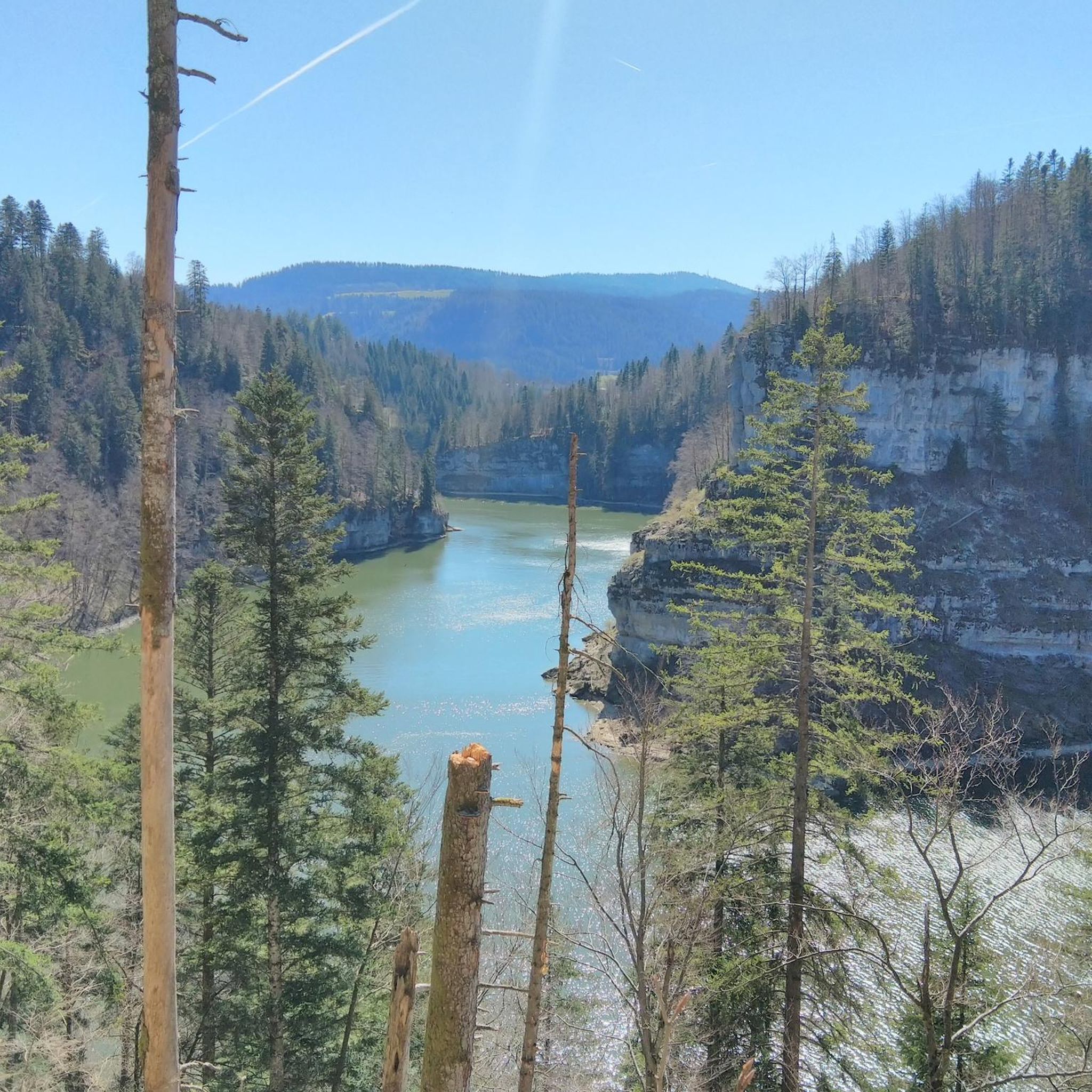
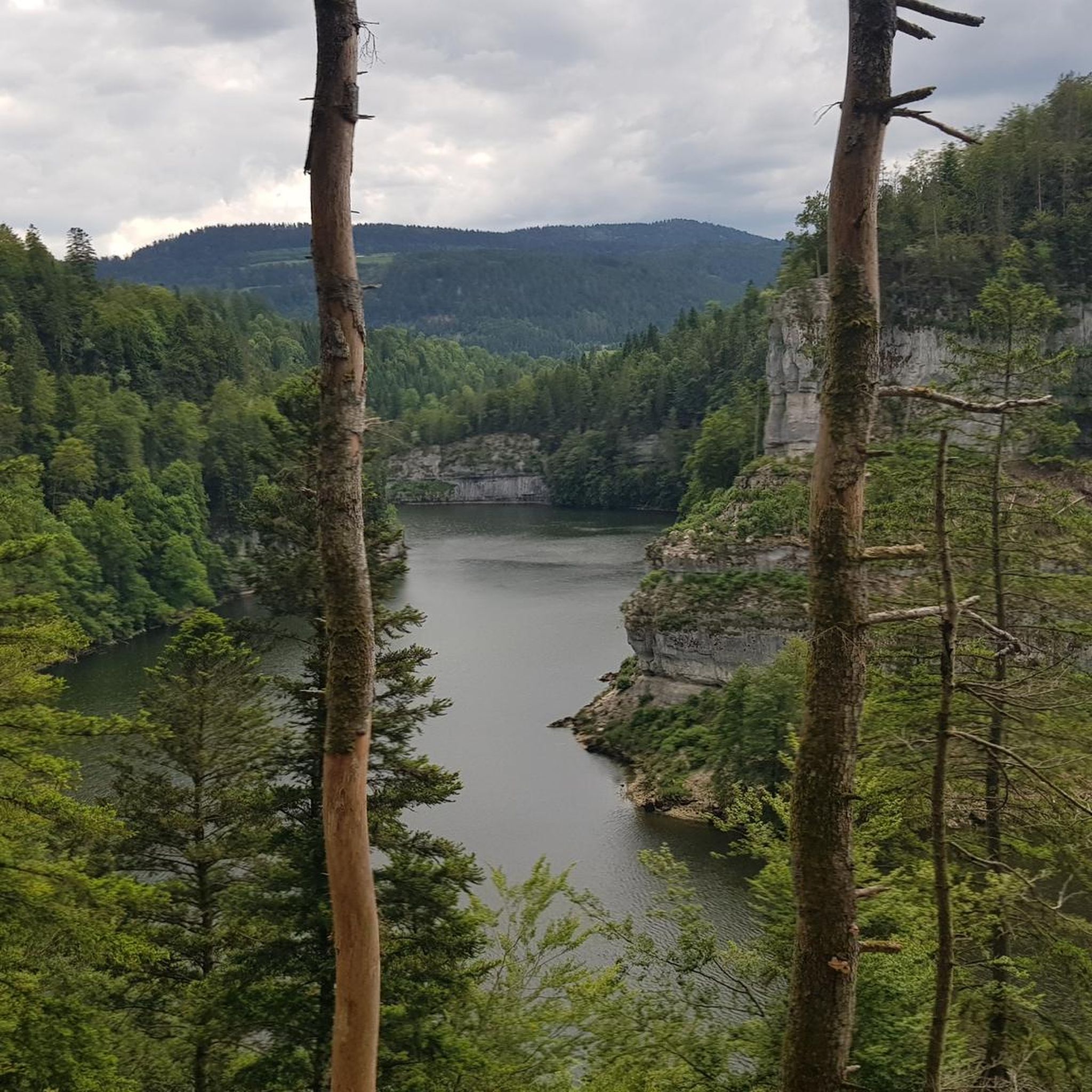
Gravel biking around Lac des Brenets offers routes through a landscape shaped by the winding Doubs River and its dramatic gorges, forming a natural border between Switzerland and France. The region features diverse terrain, from flat areas along the lake to steep white limestone cliffs reaching up to 80 meters. Cyclists can expect a mix of unpaved and paved surfaces, traversing pine and broadleaf forests with significant elevation changes. The area's natural features provide varied challenges for gravel bikers.
Best…
Last updated: July 2, 2026
7
riders
55.5km
04:17
1,280m
1,280m
Hard gravel ride. Very good fitness required. Mostly paved surfaces. Suitable for all skill levels.
5.0
(1)
13
riders
Hard gravel ride. Very good fitness required. Mostly paved surfaces. Suitable for all skill levels.

Sign up for free
4.5
(4)
18
riders
Hard gravel ride. Very good fitness required. Mostly paved surfaces. Suitable for all skill levels.
4.3
(3)
8
riders
127km
08:35
2,060m
2,060m
Hard gravel ride. Very good fitness required. You may need to push your bike for some segments of this route.
5.0
(4)
16
riders
Hard gravel ride. Very good fitness required. Mostly paved surfaces. Suitable for all skill levels.
Get access to more routes and recommendations from other explorers.
Sign up for free
Already have an account?
Our route recommendations are based on thousands of hikes, rides, and runs completed by other people on komoot.
Start today with a free account
Your next adventure awaits.
Login or Signup
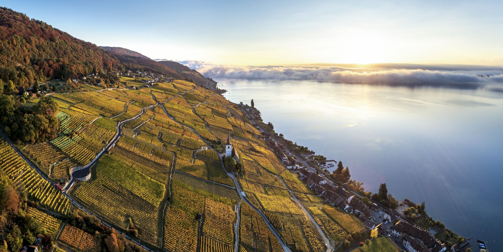
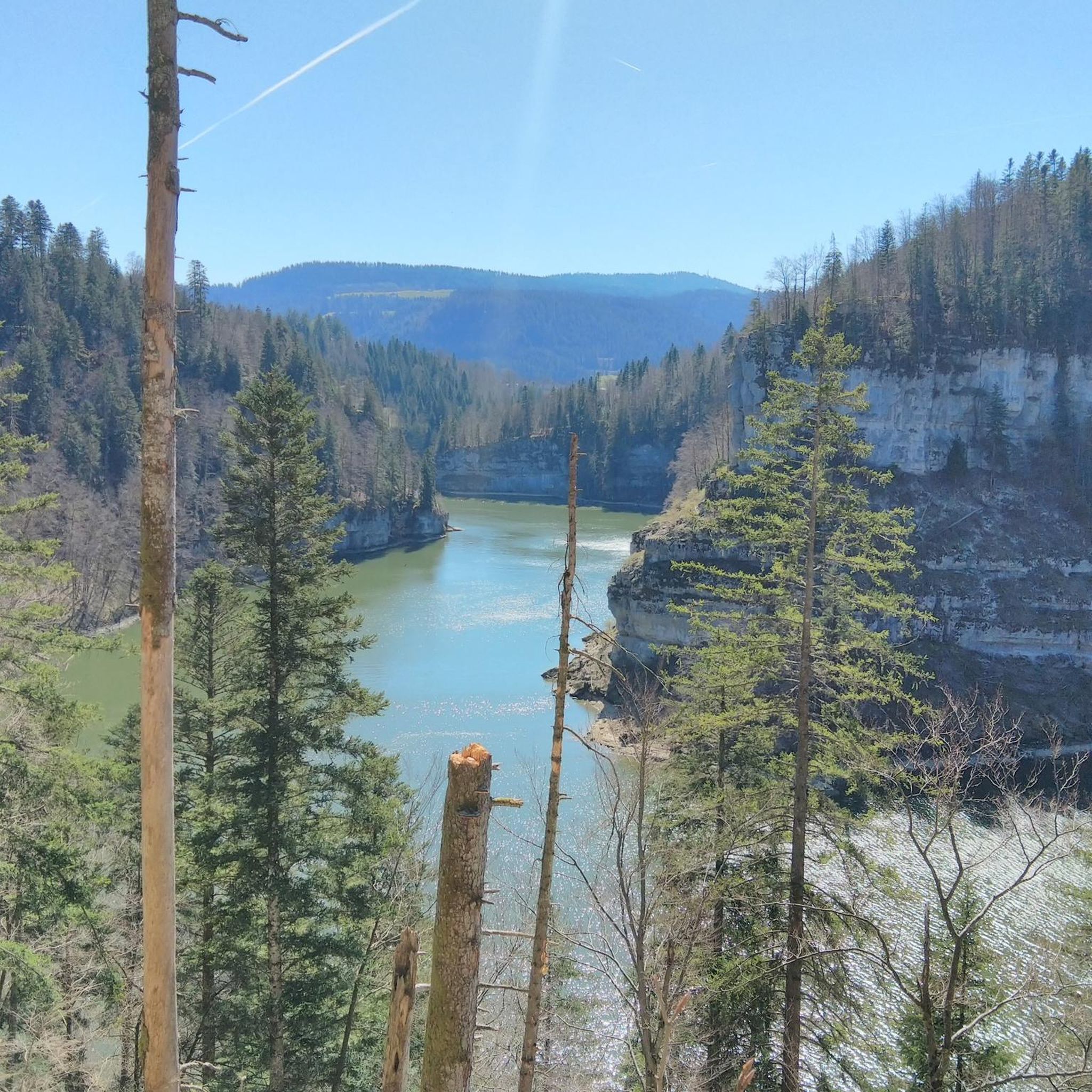
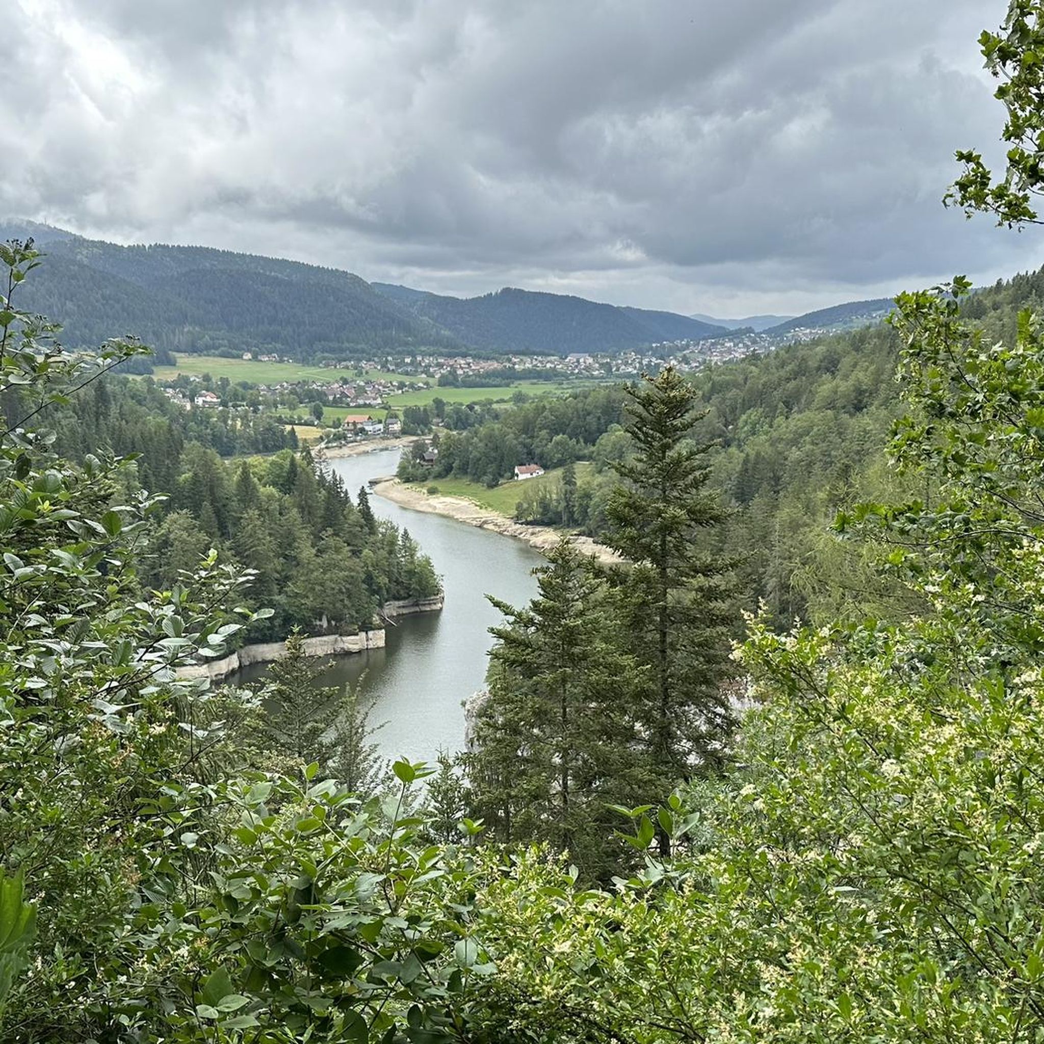
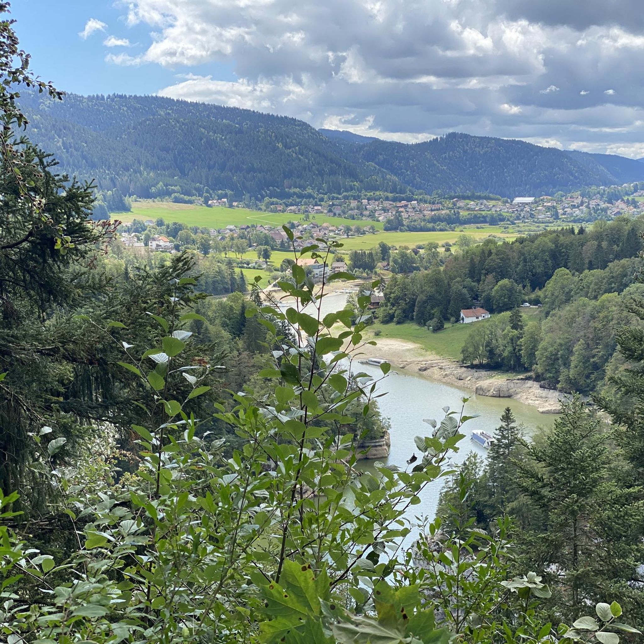
Other adventures around Lac des Brenets

Tips from the Community

The redesign of the square has been successful. The CdF has gained in recent years.
0
0

This path along the edge of fields and the forest leading to Cornabey is very pleasant. You cross a small bridge to span the stream.
0
0
This beautiful section unfolds along winding singletrack amidst the Jura fir trees. A real treat for gravel bikers and mountain bikers.
0
0

Very easy to drive, great views and little traffic!
0
0

Varied tour with magnificent view of the Alps at La Pinte de la Petite Joux.
0
0

This family-run inn offers delicious regional dishes, homemade bread and pastries, as well as a dormitory for 16 people with showers and toilets. You can enjoy the view of the green meadows and the sunset from the terrace, or explore the surrounding trails that lead to the top of the Grand Sommartel, the Chalet de Roche-Claire or the Petite Joux restaurant.
2
0

The Doubs is a multi-faceted river. Here, for example, it plays the role of border river. You look straight across to France.
1
0

Frequently Asked Questions
How many gravel bike trails are available around Lac des Brenets?
There are over 20 gravel bike trails available around Lac des Brenets on komoot, offering a variety of experiences for cyclists.
What kind of terrain can I expect on gravel bike trails near Lac des Brenets?
The terrain around Lac des Brenets is diverse, ranging from flat sections along the lake to impressive, steep white limestone cliffs. You'll encounter a mix of unpaved and paved surfaces, traversing pine and broadleaf forests, often with significant elevation changes due to the Doubs River gorges.
Are there any challenging gravel bike routes in the Lac des Brenets area?
Yes, many routes in the region feature challenging ascents and significant elevation gains. For example, the Le Maillard – Typical Jura countryside loop from Villers-le-Lac is a difficult 34.4-mile (55.4 km) route with over 1,200 meters of elevation gain, exploring the characteristic Jura countryside.
Can I find routes with scenic viewpoints of the Doubs River?
Absolutely. The region is known for its dramatic Doubs River gorges. The View of the Doubs – Tunnel near Lac de Moron loop from Le Locle-Col-des-Roches is a popular difficult 23.6-mile (38.1 km) path specifically designed to offer views of the Doubs River and its surrounding landscape.
What is the best time of year for gravel biking around Lac des Brenets?
The region is beautiful year-round, but spring and autumn offer particularly pleasant conditions with vibrant foliage and moderate temperatures. Summer is also popular, though some sections might be more exposed to the sun. Always check local weather conditions before heading out.
Are there any long-distance gravel biking routes available?
Yes, for those seeking a longer adventure, the La Cendrée Viewpoint – Col sur le Mont loop from Les Fins is a substantial 79.5-mile (128.0 km) trail. It leads through varied terrain with significant climbs and can take around 11 hours to complete.
What do other gravel bikers say about the trails in Lac des Brenets?
The gravel biking routes in Lac des Brenets are highly rated by the komoot community, with an average score of 4.8 stars from over 20 reviews. Cyclists often praise the diverse terrain, the stunning natural landscapes, and the challenging ascents that make for a rewarding experience.
Are there any family-friendly gravel biking options?
While many routes feature significant elevation changes and are rated as difficult, there are segments and areas with flatter terrain, particularly closer to the lake. For family outings, look for routes described as having mostly paved surfaces or less elevation, though dedicated 'easy' gravel routes are less common in this challenging region.
Can I access gravel bike trails using public transport?
The region has some public transport connections, particularly to towns like Le Locle-Col-des-Roches, which serves as a starting point for routes like the View of the Doubs – Tunnel near Lac de Moron loop. It's advisable to check local bus and train schedules for specific access points and bike transport policies.
Are there any notable natural attractions or landmarks to see while gravel biking?
The centerpiece is the Lac des Brenets itself, and the dramatic gorges carved by the Doubs River. The majestic 27-meter high Saut du Doubs Waterfall is a major national site offering magnificent views. The nearby Vue des Alpes Pass also provides breathtaking panoramic views of the Alps, adding another dimension to the region's natural beauty.
Are there any circular gravel bike routes around Lac des Brenets?
Yes, many of the routes in the area are designed as loops, allowing you to start and end at the same point. Examples include the Le Maillard – Typical Jura countryside loop from Villers-le-Lac and the Typical Jura countryside – Bahnhofplatz La Chaux-de-Fonds loop from Le Crêt-du-Locle.
Are there places to stop for refreshments or cafes along the gravel bike trails?
While the region boasts unspoiled nature, towns and villages like Les Brenets, Villers-le-Lac, and Le Locle-Col-des-Roches offer amenities including cafes and restaurants. Planning your route to pass through these locations will allow for refreshment stops.
Most popular routes around Lac des Brenets
Most popular attractions around Lac des Brenets

Get inspired with the komoot mobile app


Explore more
Browse the best Gravel rides in other regions.
