The best gravel rides around Parco Lura
4.3
(714)
4,121
riders
145
rides
Gravel biking around Parco Lura features a network of trails primarily following the Lura River and connecting to surrounding natural areas like Groane Park. The terrain is generally flat to gently rolling, characterized by riverine landscapes, canal paths, and sections through parkland. Elevation changes are typically minor, making many routes accessible. The region offers varied surfaces suitable for gravel bikes, from compacted earth to paved sections along canals.
Best gravel bike trails around Parco Lura
- The most popular gravel bike trail is Lura River in the Parco del Lura – Cycling and pedestrian bridge over the Lura loop from Saronno Sud, a 49.8 miles (80.1 km) trail that takes 6 hours 20 minutes to complete. This route features significant elevation gain for the area, traversing varied landscapes.
- Another top favourite among local gravel bikers is Cycling and pedestrian bridge over the Lura – Groane Park Bike Path loop from Caronno Pertusella, a moderate 40.4 miles (65.1 km) path. This route offers a mix of river views and parkland scenery.
- Local gravel bikers also love the Villoresi Canal Cycle Path – Alzaia del Canale Villoresi loop from Cesate, a 30.4 miles (48.9 km) trail leading through canal-side landscapes, often completed in about 2 hours 30 minutes.
- Gravel biking around Parco Lura is defined by river paths, canal towpaths, and parkland sections. The network offers options for different ability levels, including beginner gravel bike routes Parco Lura.
- The routes in Parco Lura are highly rated by the komoot community with an average score of 4.5 stars from over 600 reviews. More than 3,600 gravel bikers have used komoot to explore Parco Lura's varied terrain.
Last updated: September 28, 2026
4.3
(10)
91
riders
Moderate gravel ride. Good fitness required. Mostly paved surfaces. Suitable for all skill levels.
4.5
(13)
161
riders
Moderate gravel ride. Good fitness required. Mostly paved surfaces. Suitable for all skill levels.

4.2
(5)
40
riders
Moderate gravel ride. Good fitness required. Mostly paved surfaces. Suitable for all skill levels.
4.2
(19)
97
riders
49.4km
02:31
110m
110m
Moderate gravel ride. Good fitness required. Mostly paved surfaces. Suitable for all skill levels.
4.5
(2)
21
riders
26.0km
01:20
80m
80m
Easy gravel ride. Great for any fitness level. Mostly paved surfaces. Suitable for all skill levels.
Get access to more routes and recommendations from other explorers.
Already have an account?
Our route recommendations are based on thousands of hikes, rides, and runs completed by other people on komoot.
Start today with a free account
Your next adventure awaits.
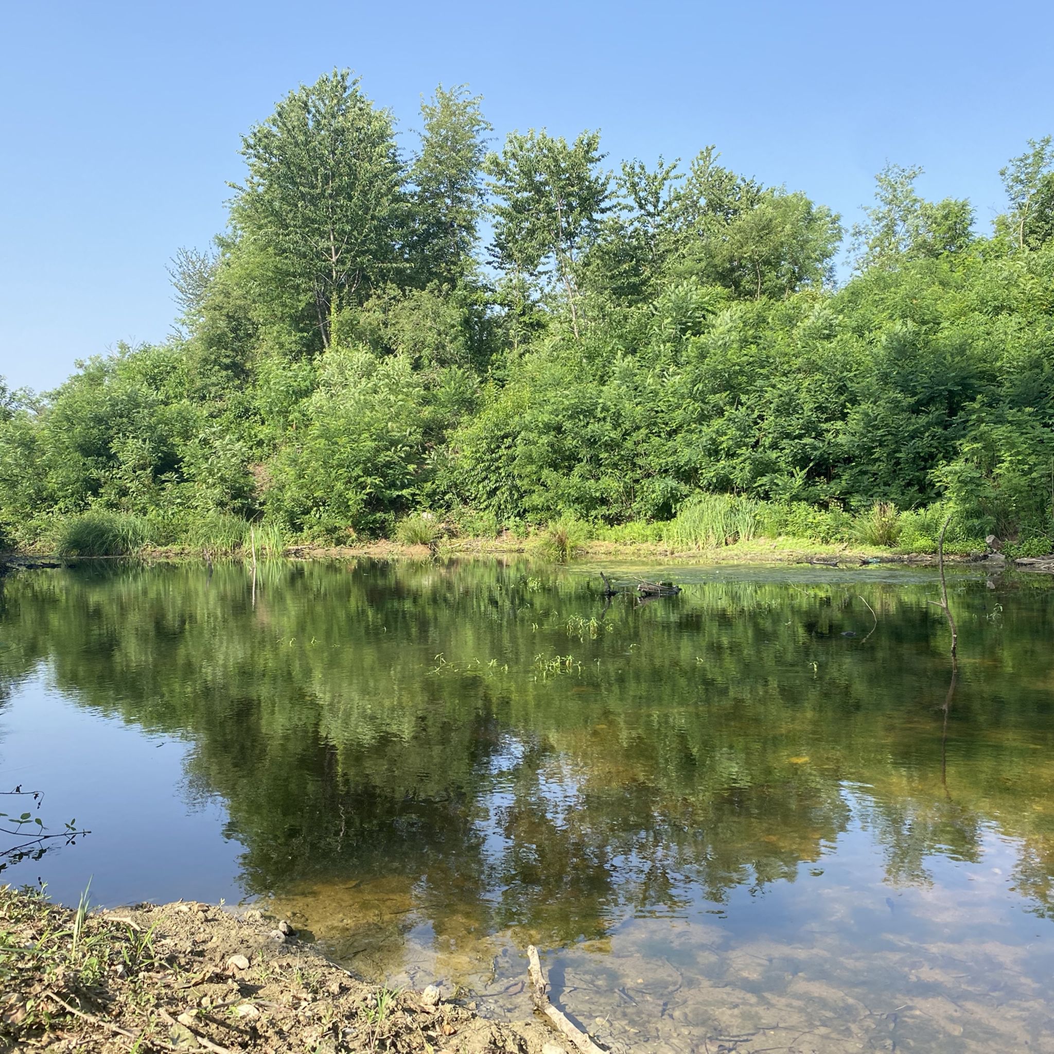
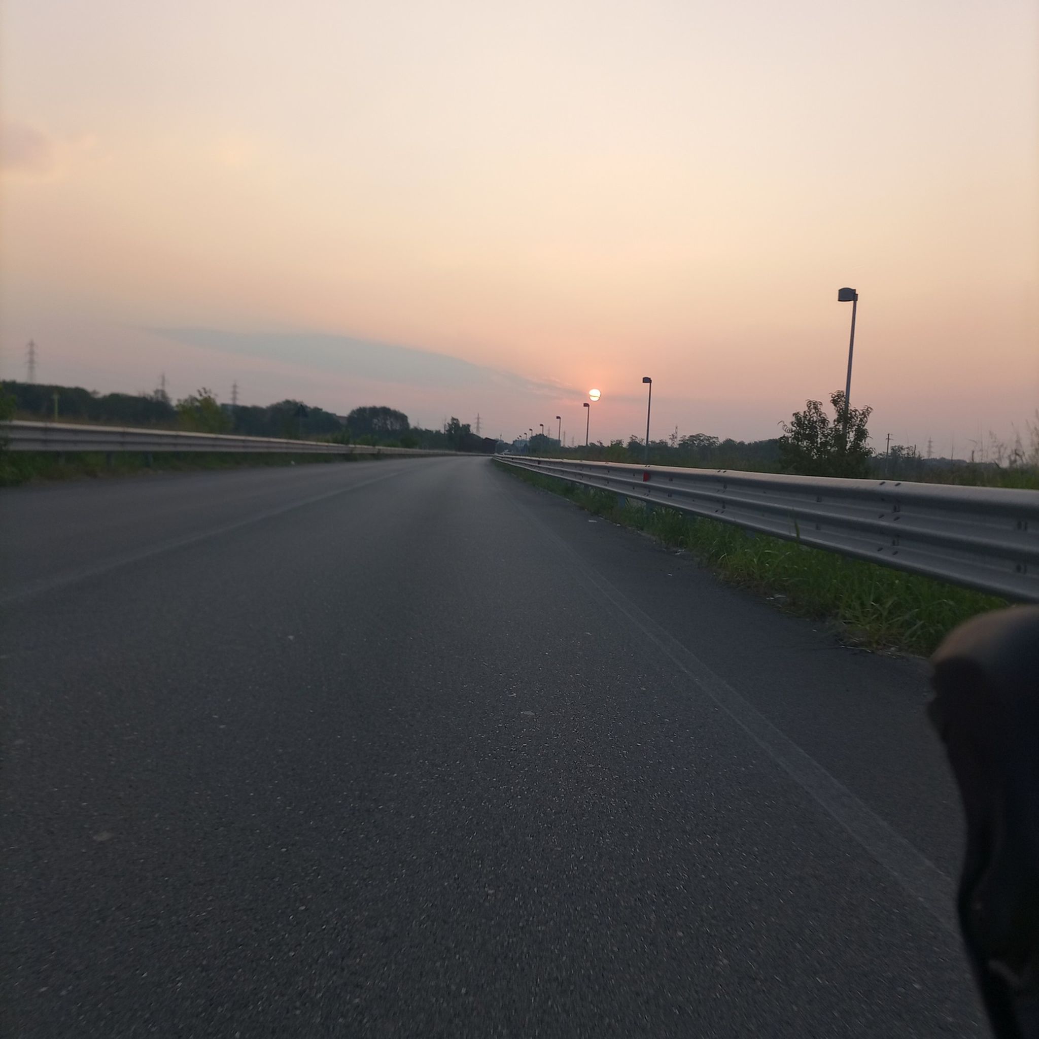
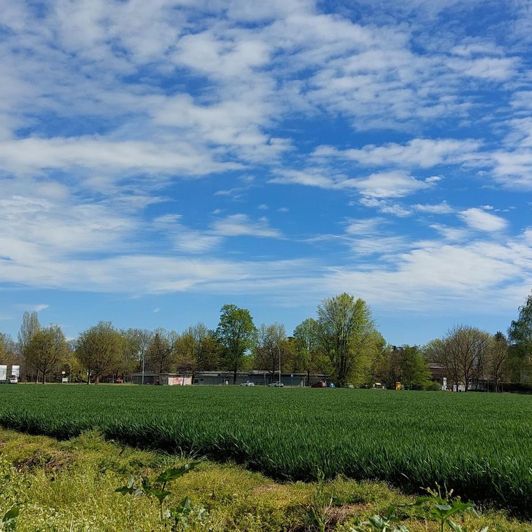
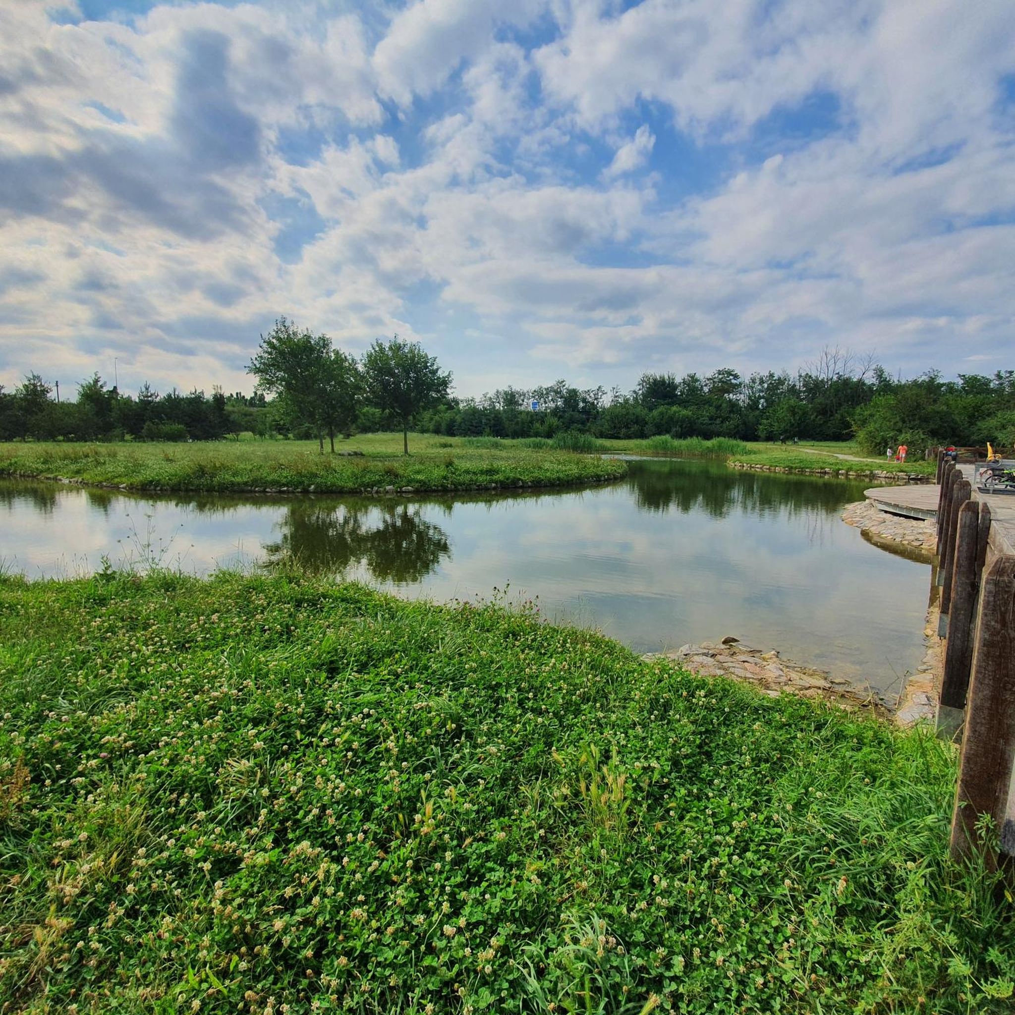
Tips from the Community

The Parco delle Groane and Brughiera Briantea cycle path offers a protected route of about 35-50 kilometers immersed in nature between the provinces of Milan and Monza e Brianza
0
0
The Lura is a stream in Lombardy that originates near the Italian-Swiss border, in the municipality of Uggiate con Ronago, at an altitude of about 400 m. The Lura has a total length of 46.2 km and a drainage basin of 120 km², and is today the largest tributary of the Olona river.
0
0

bridge over the Lura in the homonymous park
0
0

The Villoresi canal draws water from the Ticino river, in the locality of Panperduto, in the municipality of Somma Lombardo. After traveling 86 kilometers, in the provinces of Milan and Monza Brianza, it flows into the Adda river in the municipality of Cassano d’Adda. Construction work began in 1881 and was completed in 1891 to a design by Eugenio Villoresi. Originally intended exclusively for irrigation purposes, following the crisis of crops connected with silk production, the canal now allows water distribution in a plain area of approximately 85,000 hectares, through a network that totals about 3,000 kilometers. The paths, free of difficulties, accessible to everyone and certainly of interest, are part of the investments made to enhance the towpaths of the waterways, and should also be considered a fast connection route between the various Municipalities bordering the canal.
1
0

Pay attention to the GPS directions as they are not always accurate
2
0
Il Parco del Lura is a local park of supramunicipal interest established for the protection and enhancement of the Lura stream valley in the stretch that extends from Cassina Rizzardi to Lainate. The municipalities adhering to the consortium are: Bregnano, Cadorago, Caronno Pertusella, Cassina Rizzardi, Cermenate, Garbagnate Milanese, Guanzate, Lainate, Lomazzo, Rovellasca, Rovello Porro and Saronno
0
0
The Villoresi Canal cycle path runs through the Lombardy countryside, along the entire length of the Villoresi Canal, the historic waterway built for irrigation in the late 19th century by engineer Eugenio Villoresi. The canal draws water from the Ticino River near Somma Lombardo and, after an 86 km journey, returns it to the Adda River near Groppello.
1
0
The Villoresi Canal cycle path runs through the Lombardy countryside, along the entire length of the Villoresi Canal, the historic waterway built for irrigation in the late 19th century by engineer Eugenio Villoresi. The canal draws water from the Ticino River near Somma Lombardo and, after an 86 km journey, returns it to the Adda River near Groppello.
3
0
Frequently Asked Questions
How many gravel bike trails are available in Parco Lura?
There are over 150 gravel bike trails available in Parco Lura, offering a wide range of options for different skill levels and preferences. This includes 35 easy routes, 71 moderate routes, and 53 more challenging options.
Are there easy gravel bike routes suitable for beginners in Parco Lura?
Yes, Parco Lura offers a good selection of easy gravel bike routes perfect for beginners. An excellent choice is the Groane Cycle Path – Underpass loop from Caronno Pertusella, which is approximately 26 km long with minimal elevation gain, making it very accessible.
What are the typical distances for gravel biking routes in Parco Lura?
Route distances in Parco Lura vary significantly. You can find shorter loops around 25-30 km, such as the easy Groane Cycle Path – Underpass loop. Moderate routes like the Villoresi Canal Cycle Path – Alzaia del Canale Villoresi loop from Cesate extend to about 49 km, while longer, more challenging rides can reach up to 80 km.
Are there any family-friendly gravel biking options in Parco Lura?
Yes, many of the trails in Parco Lura are suitable for families, especially the easier, flatter sections along the river and canal paths. These routes often feature compacted earth surfaces and minimal traffic, providing a safe and enjoyable experience for all ages. Look for routes marked as 'easy' for the best family-friendly options.
What kind of terrain can I expect on gravel bike trails in Parco Lura?
The terrain in Parco Lura is generally flat to gently rolling, characterized by riverine landscapes, canal paths, and sections through parkland. You'll encounter varied surfaces suitable for gravel bikes, from compacted earth and gravel to paved sections along canals. Elevation changes are typically minor, making most routes accessible.
What are some interesting landmarks or attractions to see along the gravel bike trails in Parco Lura?
While riding through Parco Lura, you can explore several natural and scenic highlights. Keep an eye out for the peaceful Rosa Camuna Pond, a tranquil spot perfect for a break. The extensive Lura Cycle Path itself is a highlight, offering continuous scenic views along the river.
What do other gravel bikers enjoy most about gravel biking in Parco Lura?
The area is highly rated by the komoot community, with an average score of 4.5 stars from over 600 reviews. Riders often praise the well-maintained river and canal paths, the peaceful natural surroundings, and the variety of routes that cater to different skill levels. The connection to Groane Park is also a frequently mentioned positive aspect.
Are there any loop gravel trails in Parco Lura?
Yes, many of the gravel bike routes in Parco Lura are designed as loops, offering convenient starting and ending points. Examples include the Cycling and pedestrian bridge over the Lura – Groane Park Bike Path loop from Caronno Pertusella and the Villoresi Canal towpath – Alzaia del Canale Villoresi loop from Caronno Pertusella.
Where can I find parking for gravel biking in Parco Lura?
Parking is generally available near the main access points to Parco Lura and its connected cycle paths. For routes starting from towns like Saronno Sud, Caronno Pertusella, or Cesate, you can typically find public parking areas. It's advisable to check local parking regulations for specific starting points.
What is the best time of year for gravel biking in Parco Lura?
Spring and autumn are generally the most pleasant seasons for gravel biking in Parco Lura, with mild temperatures and beautiful scenery. Summer can be enjoyable, but it's best to ride in the mornings or late afternoons to avoid the midday heat. Winter riding is also possible, though some paths might be muddy after rain or snow, and appropriate gear is recommended.
Are there cafes or places to stop for refreshments along the gravel trails?
While the trails themselves often wind through natural areas, you'll find cafes and refreshment stops in the towns and villages bordering Parco Lura, such as Saronno, Caronno Pertusella, and Cesate. Planning your route to pass through these areas can provide convenient opportunities for a break and a coffee.
Are there any advanced or more challenging gravel trails near Parco Lura?
While much of Parco Lura is relatively flat, some routes offer more significant distances and elevation changes for a greater challenge. The Lura River in the Parco del Lura – Cycling and pedestrian bridge over the Lura loop from Saronno Sud, for example, is a difficult 80 km route with notable elevation gain for the area, traversing varied landscapes.
Most popular routes around Parco Lura

Get inspired with the komoot mobile app


Explore more
Browse the best Gravel rides in other regions.
