The best gravel rides around Réserve naturelle du Pibeste-Aoulhet
4.5
(25)
475
riders
34
rides
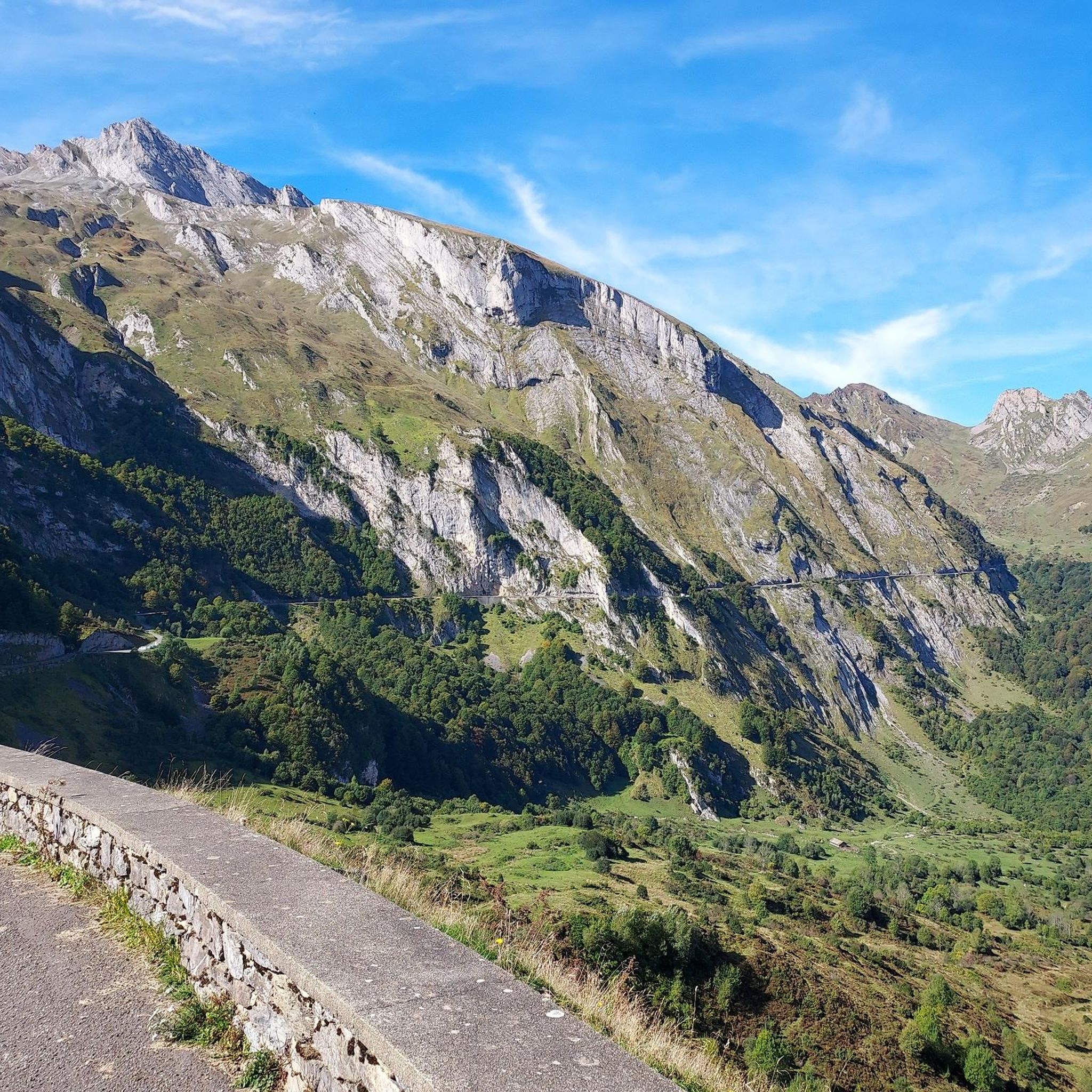
Gravel biking around Réserve naturelle du Pibeste-Aoulhet offers routes through mountainous terrain characterized by significant elevation changes. The region features a diverse landscape with steep slopes, extensive forests, and varied surfaces including former railroad paths and rugged sections. Riders can expect a mix of environments, from arid prairies and cliffs to vast, wild forests and mountain pastures. The underlying karstic massif adds to the geological interest of the area.
Best gravel bike trails around Réserve naturelle du Pibeste-Aoulhet
- The most…
Last updated: July 2, 2026
4.5
(4)
30
riders
42.7km
03:44
1,180m
1,180m
Hard gravel ride. Very good fitness required. Mostly paved surfaces. Suitable for all skill levels.
5.0
(1)
16
riders
49.4km
03:49
1,350m
1,340m
Hard gravel ride. Very good fitness required. Mostly paved surfaces. Suitable for all skill levels.

Sign up for free
16
riders
Easy gravel ride. Great for any fitness level. Mostly paved surfaces. Suitable for all skill levels.
11
riders
21.2km
01:17
100m
100m
Easy gravel ride. Great for any fitness level. Mostly paved surfaces. Suitable for all skill levels.
15
riders
76.5km
06:54
2,250m
2,250m
Hard gravel ride. Very good fitness required. Mostly paved surfaces. Suitable for all skill levels.
Get access to more routes and recommendations from other explorers.
Sign up for free
Already have an account?
Our route recommendations are based on thousands of hikes, rides, and runs completed by other people on komoot.
Start today with a free account
Your next adventure awaits.
Login or Signup
Popular around Réserve naturelle du Pibeste-Aoulhet
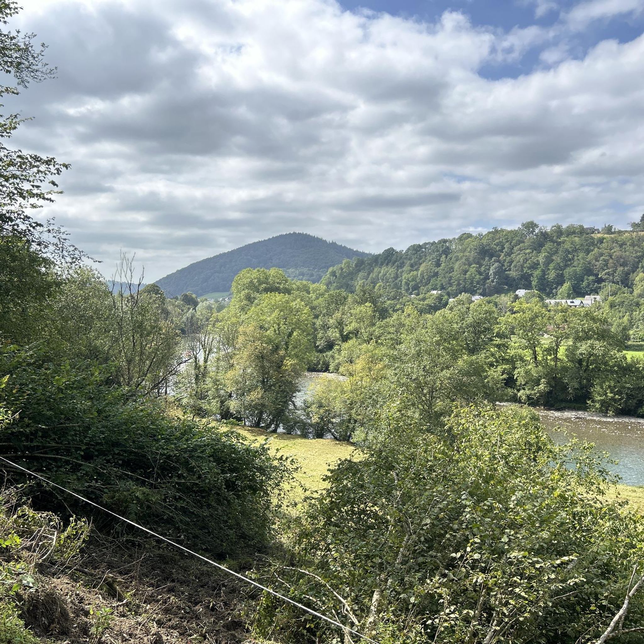
Hiking around Réserve naturelle du Pibeste-Aoulhet
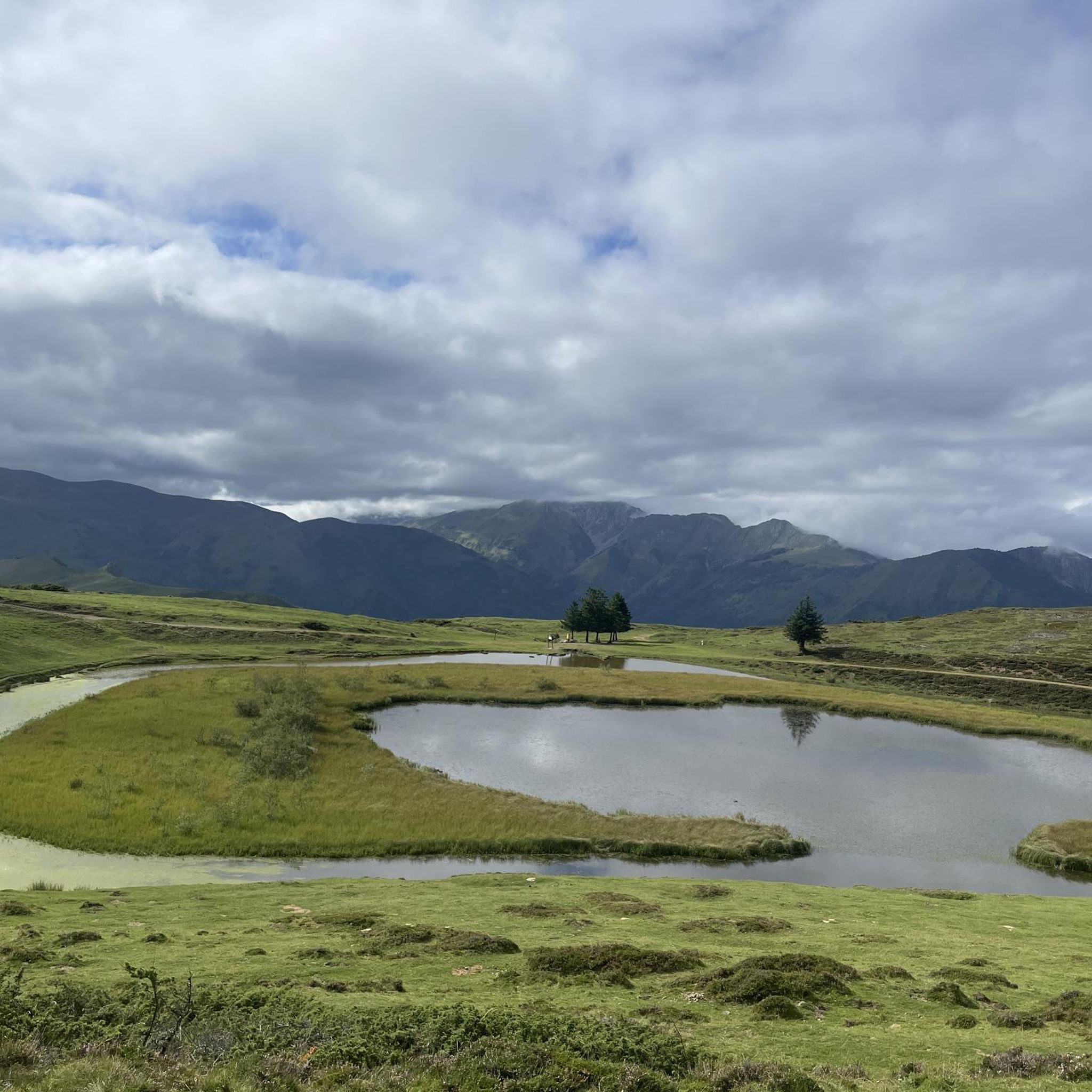
Running Trails around Réserve naturelle du Pibeste-Aoulhet
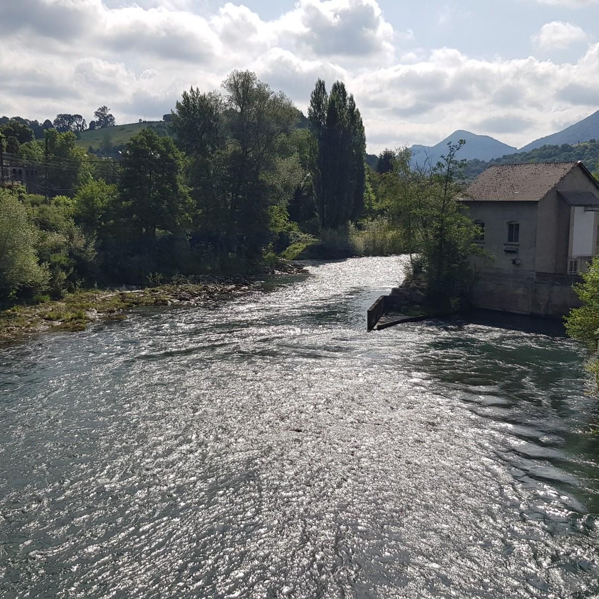
Road Cycling Routes around Réserve naturelle du Pibeste-Aoulhet
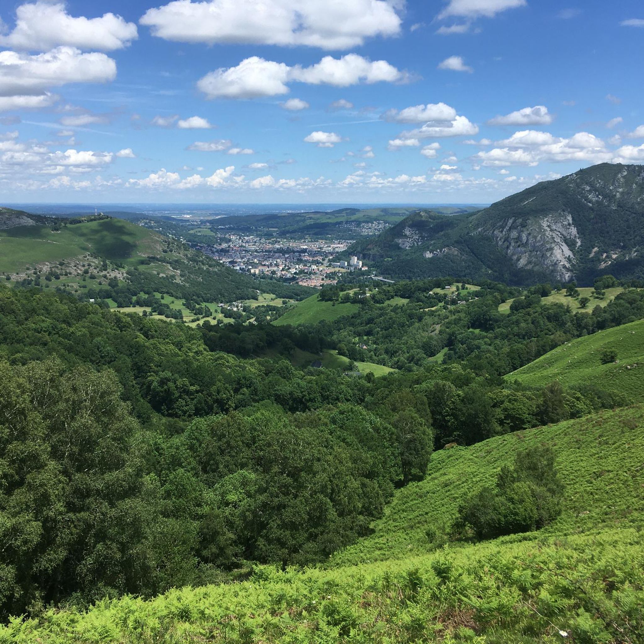
Cycling around Réserve naturelle du Pibeste-Aoulhet
MTB Trails around Réserve naturelle du Pibeste-Aoulhet

Mountain Hikes around Réserve naturelle du Pibeste-Aoulhet
Tips from the Community

Cafes, bakeries and bars but also a public toilet and drinking water tap (at the back of the church). The climb to the Azun Valley, Soulor, Aubisque starts here.
0
0

cycle path in very good condition, usable even with a road bike
0
0

Very beautiful greenway at the foot of the mountains!
0
0
Nice bridge with a beautiful view, the river is very nice too!
0
0
Beautiful spot on the greenway: in addition they left the toilets functional with toilet paper, and also a drinking water point: perfect!
0
0

The site itself isn't a must-see, but it offers a lovely backdrop along the greenway.
0
0

Frequently Asked Questions
How many gravel bike trails are available in Réserve naturelle du Pibeste-Aoulhet?
There are over 40 gravel bike trails in the Réserve naturelle du Pibeste-Aoulhet region. These routes are primarily designed for experienced riders, featuring significant elevation changes and varied terrain.
Are there any easy or family-friendly gravel bike trails in this region?
The gravel biking routes around Réserve naturelle du Pibeste-Aoulhet are generally challenging, characterized by mountainous terrain and demanding ascents. While there are a few routes rated as 'easy' in terms of technical difficulty, they still involve considerable elevation gain, making them less suitable for beginners or young families seeking flat, gentle rides. The region is best suited for advanced riders.
What kind of terrain and elevation can I expect on gravel bike routes around Réserve naturelle du Pibeste-Aoulhet?
You can expect mountainous terrain with significant elevation changes, often leading over mountain passes and through valleys. The routes feature a mix of surfaces, including former railroad paths and more rugged, unpaved sections. For example, the Bridge at the base of the Bordères – Col des Bordères (1156 m) loop from Ayzac-Ost includes a substantial climb to Col des Bordères at 1156 meters.
What are some popular loop gravel bike routes in the area?
Many of the routes in Réserve naturelle du Pibeste-Aoulhet are loops, offering diverse scenery. A popular choice is the Railroad cycle path near Argeles – Panorama d'Argeles loop from Ayzac-Ost, which follows a former railroad path with panoramic views. Another favorite is the Col de Tramassel – Hautacam loop from Agos-Vidalos, known for its high mountain passes.
What is the best time of year for gravel biking in Réserve naturelle du Pibeste-Aoulhet?
Given the mountainous nature of the Réserve naturelle du Pibeste-Aoulhet, the best time for gravel biking is typically from late spring through early autumn (May to October). During these months, the weather is generally more stable, and mountain passes are clear of snow. Winter riding can be challenging due to snow and ice at higher elevations.
Are there any interesting landmarks or viewpoints along the gravel bike trails?
Yes, the region offers several notable landmarks and viewpoints. You might encounter the Pibeste Peak or Alian Peak. For stunning vistas, consider visiting the Pibeste Summit Station, which offers expansive views of the surrounding landscape.
What do other gravel bikers enjoy most about gravel biking in Réserve naturelle du Pibeste-Aoulhet?
The area is highly rated by the komoot community, with an average score of 4.6 stars from over 40 reviews. Riders often praise the challenging climbs, the varied unpaved surfaces, and the extensive mountain scenery, particularly on routes like the Old Betharram bridge – Spandelles Pass loop from Ayzac-Ost.
Where can I park my car when starting a gravel bike tour?
Parking availability varies by starting point. Many routes, especially those originating from towns like Ayzac-Ost or Agos-Vidalos, will have designated parking areas. It's advisable to check the specific tour details on komoot for recommended parking spots near your chosen starting point.
Is public transport available to access the gravel bike trails?
Public transport options to the immediate trailheads within the Réserve naturelle du Pibeste-Aoulhet can be limited. However, major towns in the vicinity, such as Lourdes or Argelès-Gazost, are more accessible by public transport, and some routes may start or pass near these hubs. Planning your route in advance and checking local bus schedules is recommended.
Are there any long-distance gravel bike routes in the region?
Yes, for those seeking longer rides, routes like the Old Betharram bridge – Spandelles Pass loop from Ayzac-Ost cover a significant distance of over 75 km with substantial elevation gain, offering an extended challenge through the mountainous terrain.
What are the typical distances and durations for gravel bike tours here?
Gravel bike tours in Réserve naturelle du Pibeste-Aoulhet typically range from 38 km to over 75 km. Durations vary significantly based on the route's elevation profile and your pace, but many challenging tours can take between 3.5 to 6 hours to complete. For instance, the Spandelles Pass – Argelès-Gazost Station loop from Agos-Vidalos is about 38 km and takes around 3.5 hours.
Most popular routes around Réserve naturelle du Pibeste-Aoulhet
Most popular attractions around Réserve naturelle du Pibeste-Aoulhet

Get inspired with the komoot mobile app


Explore more
Browse the best Gravel rides in other regions.
