The best gravel rides around Réserve naturelle de Prats-de-Mollo-la-Preste
4.0
(2)
85
riders
3
rides
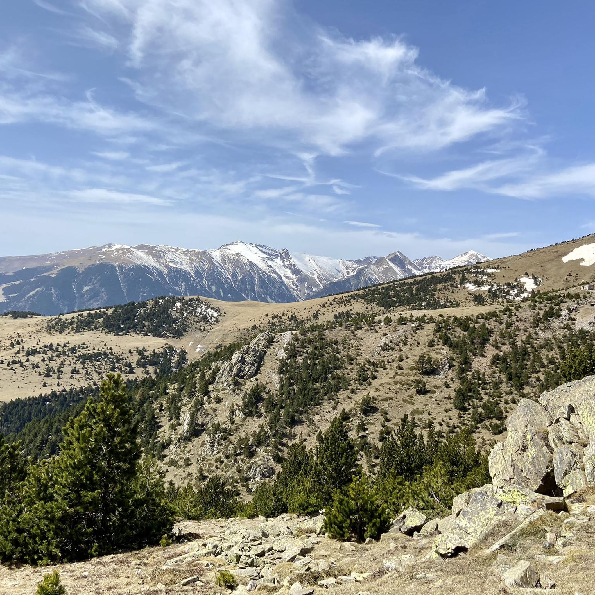
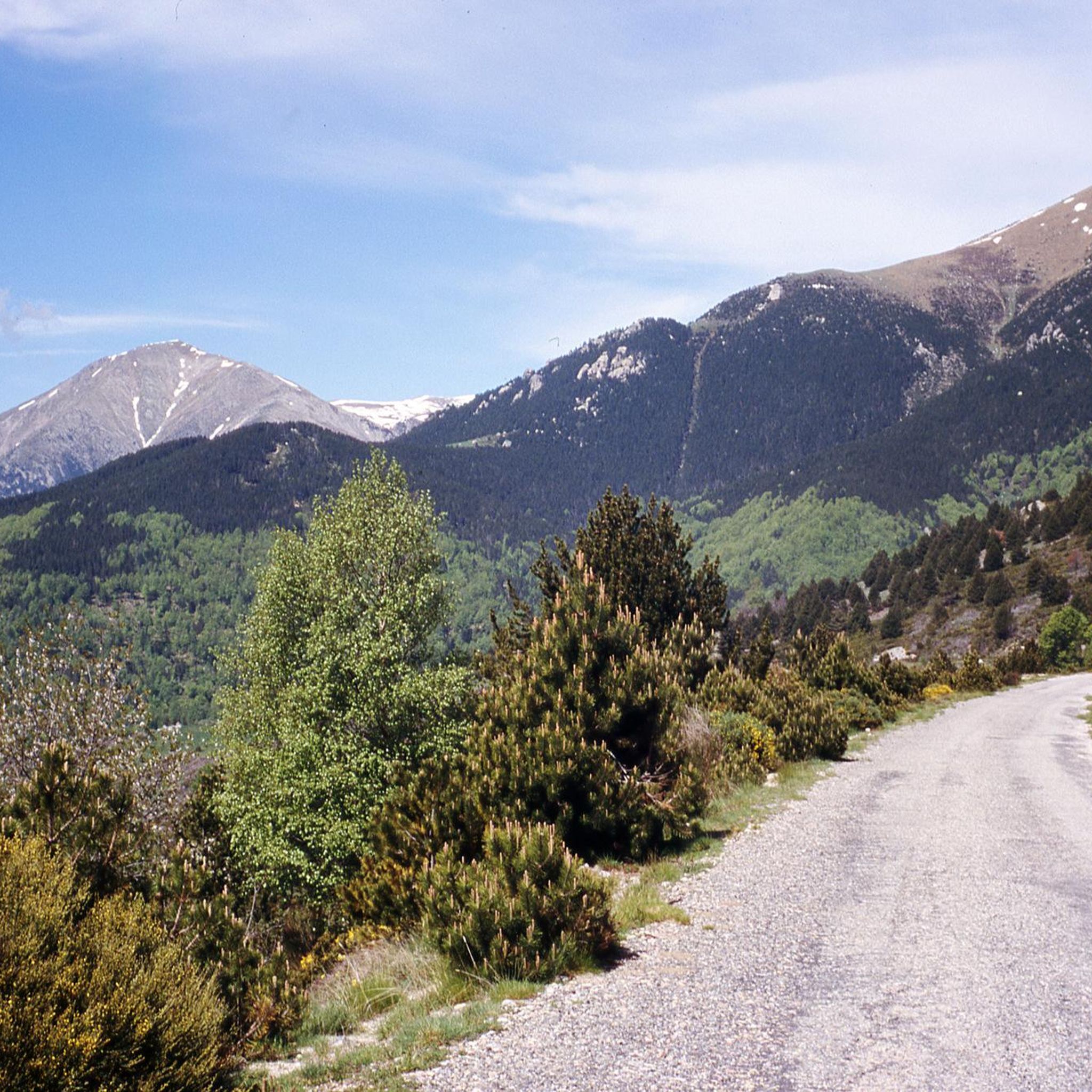
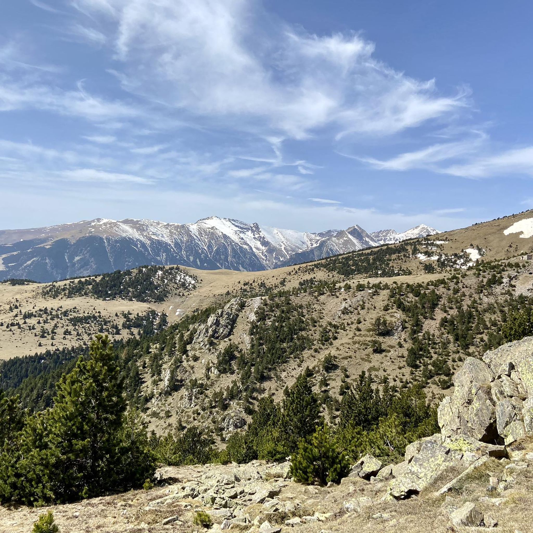
Gravel biking around Réserve naturelle de Prats-de-Mollo-la-Preste offers diverse landscapes within the eastern Pyrenees, spanning altitudes from 1,490 meters to 2,507 meters. The region features a rugged topography with high-altitude plains, ravines, and jagged ridges, providing varied terrain for cyclists. Trails traverse distinct vegetation zones, including beech forests, hook pine woodlands, and alpine meadows. The network includes wide fire roads, forest tracks, and mountain roads, suitable for gravel bikes.
Best gravel bike trails around Réserve naturelle de Prats-de-Mollo-la-Preste
- The most…
Last updated: July 2, 2026
6
riders
97.6km
08:35
3,280m
3,280m
Hard gravel ride. Very good fitness required. Mostly paved surfaces. Suitable for all skill levels.
3.0
(1)
4
riders
21.9km
01:52
720m
720m
Hard gravel ride. Very good fitness required. You may need to push your bike for some segments of this route.

Sign up for free
5.0
(1)
43
riders
98.3km
07:32
2,730m
2,730m
Hard gravel ride. Very good fitness required. Mostly paved surfaces. Suitable for all skill levels.
3.0
(1)
19
riders
52.9km
04:17
1,650m
1,660m
Hard gravel ride. Very good fitness required. Mostly paved surfaces. Suitable for all skill levels.
9
riders
41.5km
03:05
1,110m
1,110m
Hard gravel ride. Very good fitness required. Mostly paved surfaces. Suitable for all skill levels.
Our route recommendations are based on thousands of hikes, rides, and runs completed by other people on komoot.
Start today with a free account
Your next adventure awaits.
Login or Signup
Popular around Réserve naturelle de Prats-de-Mollo-la-Preste

Haute Route Pyrénéenne – Pyrenees Crossing
Running Trails around Réserve naturelle de Prats-de-Mollo-la-Preste
Cycling around Réserve naturelle de Prats-de-Mollo-la-Preste
Road Cycling Routes around Réserve naturelle de Prats-de-Mollo-la-Preste
MTB Trails around Réserve naturelle de Prats-de-Mollo-la-Preste
Hiking around Réserve naturelle de Prats-de-Mollo-la-Preste

Mountain Hikes around Réserve naturelle de Prats-de-Mollo-la-Preste
Other adventures around Réserve naturelle de Prats-de-Mollo-la-Preste

Tips from the Community

This village had great historical significance: in the Middle Ages, its castle was key in the Remensa Wars and in the control of the region, passing through the hands of various noble families. The manor remained until the mid-19th century, when it disappeared with the state expropriation of 1854.
0
0

The Col de Jou from Villefranche de Conflent is a climb in the French Pyrenees. This climb is 11.4 kilometers long and has a positive elevation gain of 687 meters. The Col de Jou from Villefranche de Conflent has an average gradient of 6%.
15
0
Down or up, this trail is steep, but easily walkable.
24
0

A strenuous route, the last 3 km are just a steep uphill road, which is exhausting and dangerous because the cars are so close by.
0
0

It was built on the ruins of an old medieval watchtower to reinforce the defence of the Vallespir after the Treaty of the Pyrenees, which established the border between France and Spain. The fort was designed to withstand prolonged sieges, with food stores and a structure capable of protecting both the garrison and the village. A curiosity is that, for centuries, the inhabitants of Prats-de-Mollo could take refuge in the fort in case of invasions, going up through the underground tunnels. In addition to its military use, the fort has also been the scene of festivals and cultural events, such as the celebration of the Fête de l'Ours (Bear Festival), a local tradition that symbolises the struggle between man and nature.
7
0
Built in the 17th century by order of Vauban, Louis XIV's military engineer, to defend the border with Spain after the signing of the Treaty of the Pyrenees in 1659, the fortress is situated on a hill above the village, offering strategic views. It has underground tunnels that connect to the village and was key to the control of the region.
7
0
https://www.youtube.com/watch?v=dLKV5Y7mv40 The town keeps alive many Catalan traditions, such as the Bear Festival (La Fête de l'Ours), which is celebrated every year in February. This festival is one of the oldest and most representative of Pyrenean folklore, symbolizing the struggle between man and nature.
1
0
The village has a strong medieval character, with well-preserved walls and a citadel, Fort Lagarde, which dominates the town from above. This fort was built in the 17th century and is an important symbol of border defence during that period.
1
0
Frequently Asked Questions
How many gravel bike trails are available in Réserve naturelle de Prats-de-Mollo-la-Preste?
While komoot highlights a few specific routes, the Réserve naturelle de Prats-de-Mollo-la-Preste and its surrounding Haut-Vallespir region offer an extensive network of trails suitable for gravel biking. This includes wide fire roads, forest tracks, and mountain roads, providing numerous options beyond the listed tours.
What kind of terrain can I expect on gravel bike trails in this region?
The Réserve naturelle de Prats-de-Mollo-la-Preste features a diverse and rugged topography, ranging from 1,490 to 2,507 meters in altitude. You'll encounter a mix of surfaces, including wide fire roads, forest tracks, and mountain roads. The terrain includes high-altitude plains, ravines, granite chaos, and jagged ridges, offering varied and challenging conditions for gravel cyclists.
Are there any challenging gravel routes for experienced riders?
Yes, the region is known for its demanding routes. All the gravel bike tours listed in this guide are rated as difficult, requiring good fitness and technical skill. For example, the Mantet Pass – Prats de Molló loop from Py is a challenging 100 km route with over 3,000 meters of elevation gain, taking you through significant Pyrenean landscapes. For high-mountain gravel expeditions, the Catalan Pyrenees offer immersive experiences connecting quiet valleys and historic villages.
What are some notable landmarks or viewpoints along the gravel trails?
The region is rich in natural and historical landmarks. You can find stunning viewpoints like the Costabona Summit (2,480 m) and Roca Colom summit, offering panoramic views. The fortified town of Prats-de-Mollo itself, with its medieval ramparts and Fort Lagarde, provides historical context. Some routes, like the 'Tour de Mir' mentioned in regional research, lead to 13th-century signal towers with exceptional vistas.
Are there any family-friendly gravel biking options in the area?
While many of the listed routes are rated as difficult, the extensive network of trails in the Réserve naturelle de Prats-de-Mollo-la-Preste includes a variety of paths. For families, it's best to look for easier, flatter sections of forest tracks or wide fire roads, particularly in the lower montane stages, which offer less elevation gain and technical challenge. Always check the route details for specific difficulty ratings and terrain before heading out with children.
What is the best season for gravel biking in Réserve naturelle de Prats-de-Mollo-la-Preste?
The best seasons for gravel biking are typically spring and autumn when temperatures are milder and the landscapes are vibrant. While the region experiences a sunny Mediterranean climate, significant summer rainfall can occur, especially at higher altitudes, which can affect trail conditions. Winter biking is possible but requires appropriate gear and awareness of snow and ice, particularly in the subalpine and alpine stages above 1,850 meters.
Can I find loop routes for gravel biking in this region?
Yes, many of the gravel biking opportunities in the Réserve naturelle de Prats-de-Mollo-la-Preste are designed as loops. For instance, the New Bridge of Camprodon – Pont Nou (New Bridge) loop from Setcases offers varied terrain, including sections near water features. The region also features transborder routes like the 'Boucle des Deux Catalognes' and the 'Pirinexus' loop, which provide extensive circular options for exploring both French and Spanish Catalonia.
Are there places to eat or stay near the gravel bike trails?
The town of Prats-de-Mollo-la-Preste and surrounding villages offer various amenities for cyclists. You can find cafes, pubs, and restaurants to refuel after your ride. Accommodation options include hotels, gîtes (holiday cottages), and campsites, providing convenient bases for exploring the gravel trails of the Réserve naturelle and the wider Haut-Vallespir region.
What do other gravel bikers enjoy most about gravel biking in Réserve naturelle de Prats-de-Mollo-la-Preste?
Over 30 gravel bikers have explored Réserve naturelle de Prats-de-Mollo-la-Preste using komoot. They often praise the region's diverse landscapes, which transition from beech forests to hook pine woodlands and alpine meadows. The challenging and varied terrain, including wide fire roads and technical mountain tracks, is also a significant draw for those seeking an adventurous ride.
Are there any specific regulations for dog-friendly gravel trails in the reserve?
The Réserve naturelle de Prats-de-Mollo-la-Preste is a protected area, home to diverse flora and fauna. While specific regulations for dogs on gravel trails can vary, it is generally recommended to keep dogs on a leash to protect wildlife and ensure the safety of other trail users. Always check local signage or the reserve's official guidelines for the most current information regarding pets.
What are some of the longer gravel biking routes available?
For those seeking longer rides, the region offers extensive options. The Mantet Pass – Prats de Molló loop from Py is a substantial 100 km route. Additionally, the 'Pirinexus' loop, a 340 km cross-border route mentioned in regional research, is an unmissable option for gravel cyclists, incorporating car-free gravel roads, bike paths, and quiet country roads through national parks and vineyards.
Are there any routes that offer views of water features or cross rivers?
Yes, the region is characterized by numerous water features, including torrents and peat bogs, often spared from drought. The New Bridge of Camprodon – Pont Nou (New Bridge) loop from Setcases, for example, includes sections near water. Many trails follow river valleys or cross streams, adding to the scenic beauty and ecological diversity of your ride.
Most popular routes around Réserve naturelle de Prats-de-Mollo-la-Preste
Most popular attractions around Réserve naturelle de Prats-de-Mollo-la-Preste

Get inspired with the komoot mobile app


Explore more
Browse the best Gravel rides in other regions.
