The best gravel rides around Natural Park Mallertshofer Holz
4.5
(282)
1,755
riders
147
rides
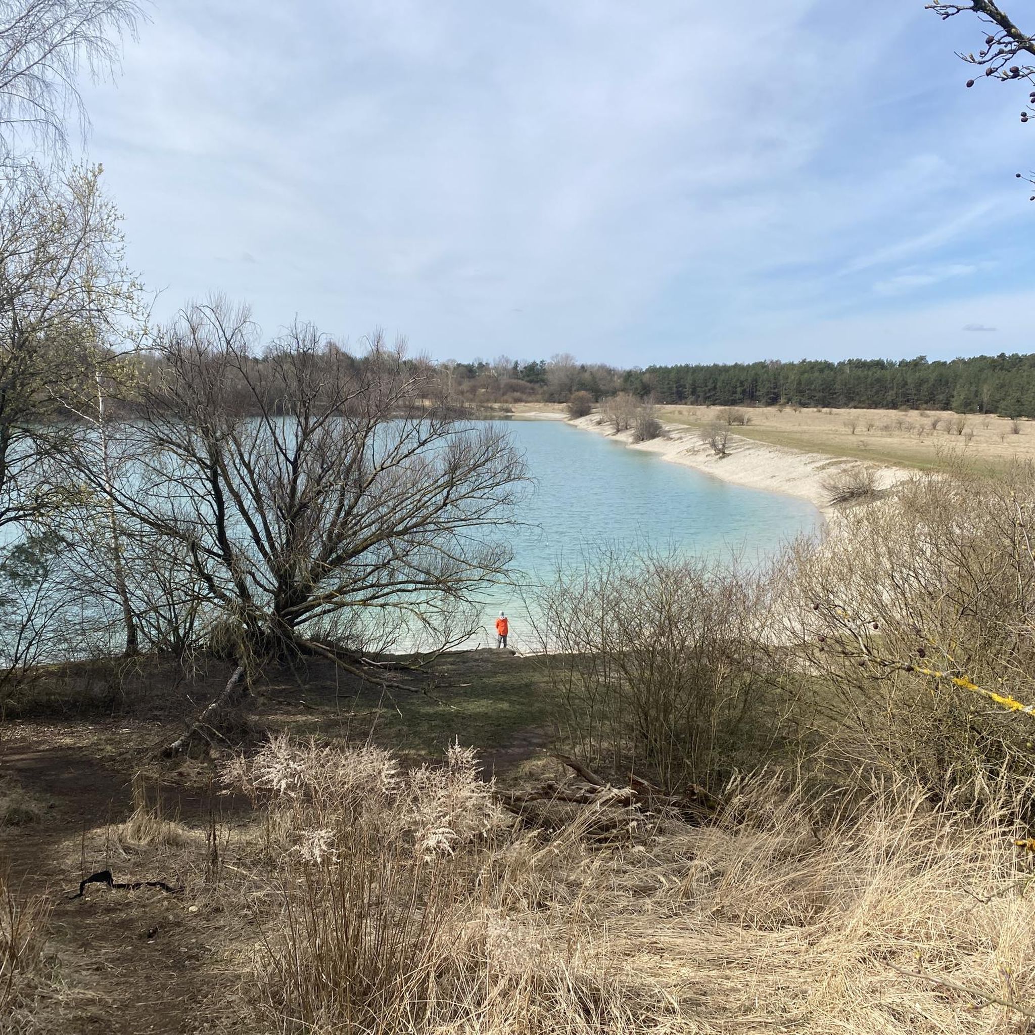
Gravel biking around Natural Park Mallertshofer Holz features a landscape characterized by river floodplains, local hills, and heathland areas. The terrain primarily consists of flat to gently rolling paths along waterways like the Isar River, interspersed with some short climbs. Riders can expect a mix of gravel roads, paved sections, and natural paths, providing varied surfaces suitable for gravel bikes. The region offers routes that traverse open landscapes, forested sections, and areas around small lakes.
Best gravel bike trails around…
Last updated: July 3, 2026
12
riders
28.6km
02:07
110m
110m
Moderate gravel ride. Good fitness required. Some segments of this route may be unpaved and difficult to ride.
5.0
(1)
7
riders
16.6km
00:52
50m
50m
Easy gravel ride. Great for any fitness level. Mostly paved surfaces. Suitable for all skill levels.

Sign up for free
4.3
(52)
326
riders
33.1km
01:41
110m
110m
Easy gravel ride. Great for any fitness level. Mostly paved surfaces. Suitable for all skill levels.
4.6
(12)
39
riders
Moderate gravel ride. Good fitness required. Mostly paved surfaces. Suitable for all skill levels.
4.2
(5)
25
riders
Easy gravel ride. Great for any fitness level. Mostly paved surfaces. Suitable for all skill levels.
Get access to more routes and recommendations from other explorers.
Sign up for free
Already have an account?
Our route recommendations are based on thousands of hikes, rides, and runs completed by other people on komoot.
Start today with a free account
Your next adventure awaits.
Login or Signup
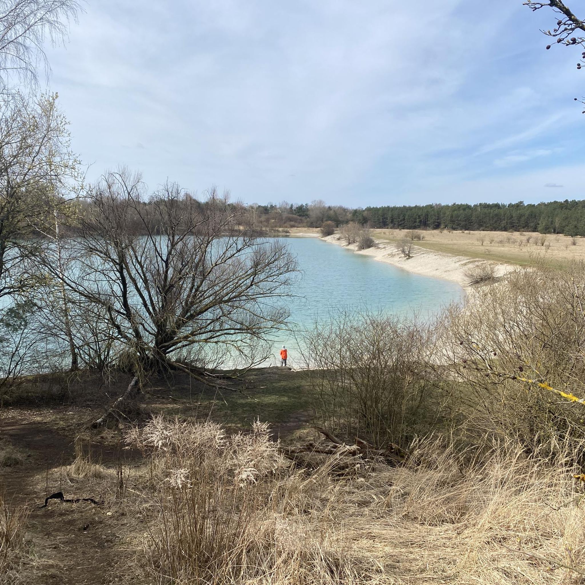
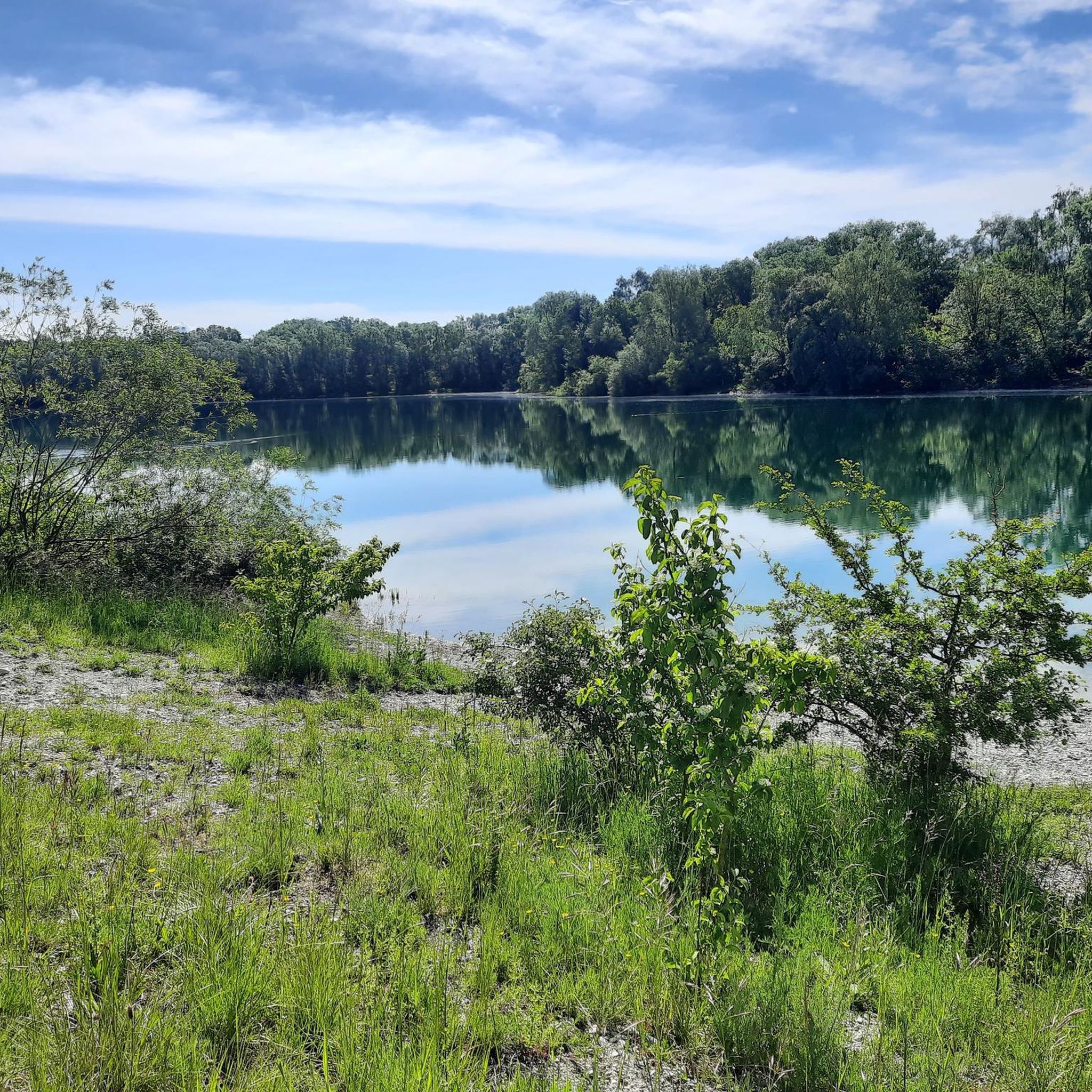
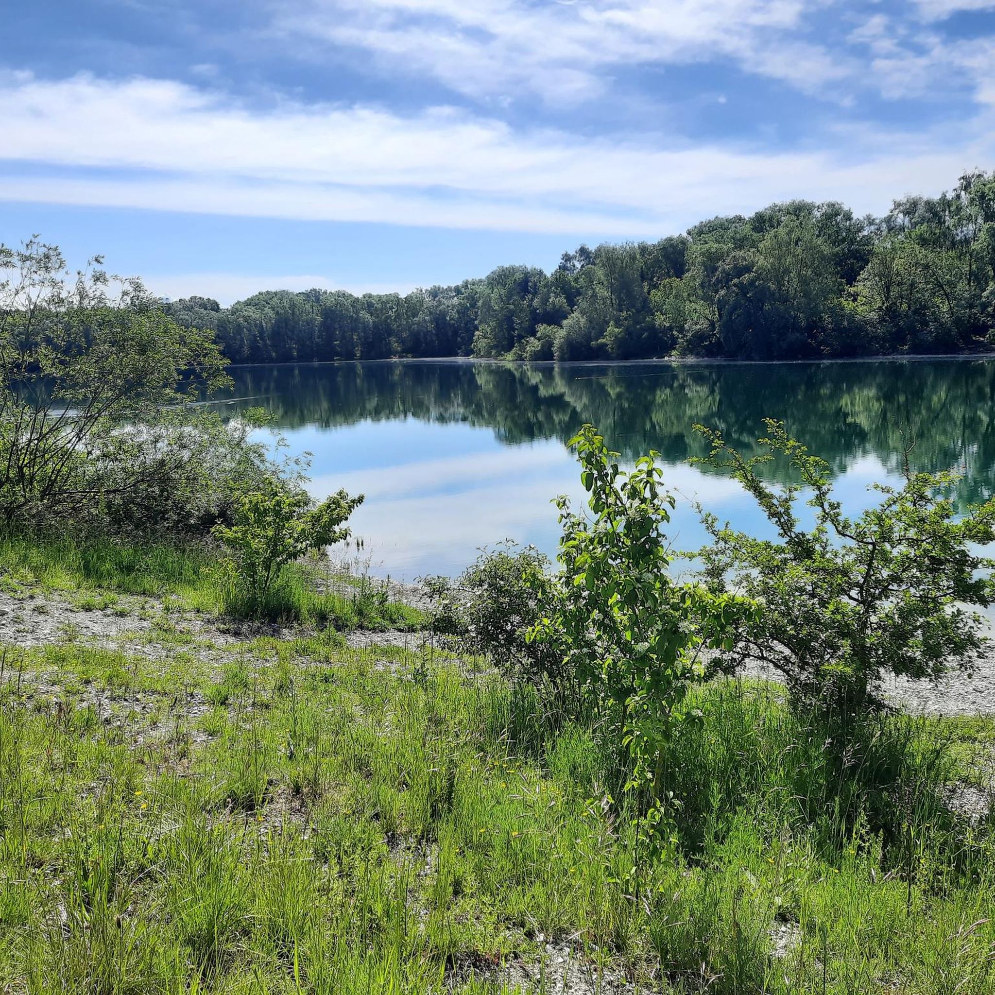
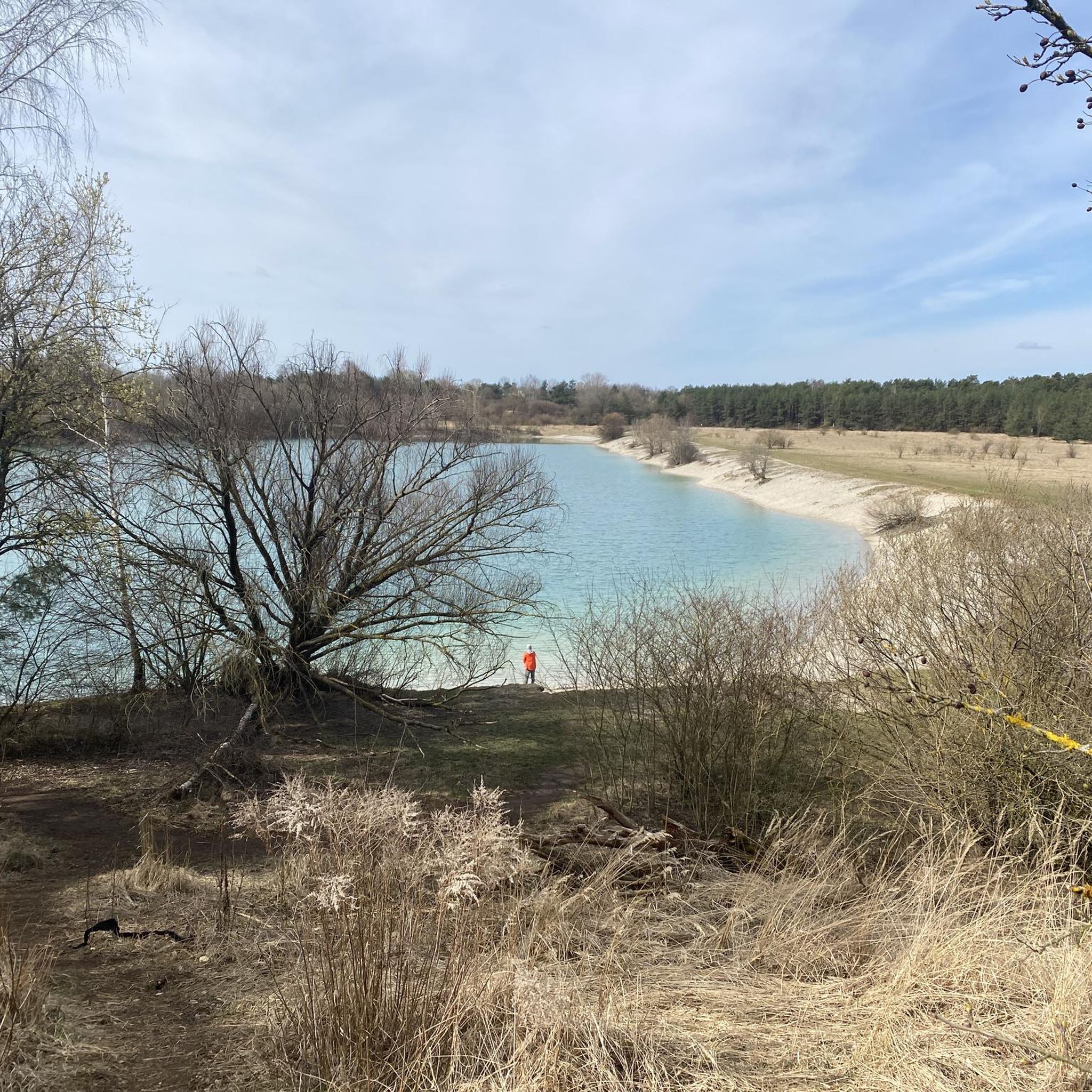
Tips from the Community

Very nice here and correspondingly crowded in summer 😉
0
0

Wonderful to explore the interesting sights in this magnificent area
1
0
Wonderful landscape, nice to go exploring here
0
0

nice place to pause and enjoy the view of the Isar
1
0

The path where it is always worth coming back 😉
0
0

A beautiful place to relax.
0
0

Beautiful cycling paths and simply a lovely park. It can get a bit crowded on weekends, of course.
0
0
Frequently Asked Questions
What kind of terrain can I expect on gravel bike trails in Natural Park Mallertshofer Holz?
The terrain around Natural Park Mallertshofer Holz is characterized by river floodplains, local hills, and heathland areas. You'll find a mix of flat to gently rolling paths along waterways like the Isar River, interspersed with some short climbs, particularly around features such as Fröttmaninger Berg. The surfaces vary, including gravel roads, paved sections, and natural paths, all suitable for gravel bikes.
How many gravel bike routes are available in Natural Park Mallertshofer Holz?
There are over 260 gravel bike routes available in Natural Park Mallertshofer Holz, catering to various skill levels. This includes approximately 115 easy routes, 105 moderate routes, and 44 more challenging options.
Are there any easy gravel bike routes suitable for beginners or families?
Yes, there are many easy routes. For a mostly flat and accessible ride, consider the Isar Rapids – Isar Floodplains loop from Garching-Hochbrück, which is about 10.3 miles (16.6 km) long. Another easy option is the Hollerner Lake – Mallertshofer Heath loop from Unterschleißheim, covering about 13.17 km.
What are some notable landmarks or points of interest along the gravel routes?
While exploring the area, you might encounter several interesting spots. These include the historic Mallertshofen Chapel, and scenic sections like the Heath Trail. There's also a Stamp station "Bavaria - Explorer" for those collecting stamps.
Are there any circular gravel bike routes in Natural Park Mallertshofer Holz?
Yes, many routes in the area are designed as loops. A popular moderate option is the Fröttmaninger Berg and Isar River Loop, which combines a climb with scenic river paths. For an easier loop, you could try the View from Fröttmaninger Berg – Fröttmaninger Berg loop from Unterschleißheim.
What do other gravel bikers say about the routes in Natural Park Mallertshofer Holz?
The routes in Natural Park Mallertshofer Holz are highly rated by the komoot community, with an average score of 4.5 stars from nearly 300 reviews. Reviewers often praise the varied terrain, the scenic paths along the Isar River, and the combination of open landscapes and forested sections.
What is the longest easy gravel bike route available?
One of the longer easy routes is the Isar Rapids – Eisbach Wave loop from Garching, which spans approximately 33.12 km (20.6 miles) and typically takes around 1 hour 41 minutes to complete.
Can I access the gravel bike trails using public transport?
While specific public transport details for each trailhead are not provided in the guide, many regions in Germany, including those with nature parks, are well-connected by public transport, making them suitable for day trips or weekend getaways. It's advisable to check local public transport options to specific starting points like Garching-Hochbrück or Unterschleißheim.
What are the typical elevation changes on these gravel bike routes?
The routes primarily feature flat to gently rolling paths, especially along the river floodplains. However, you can expect some short climbs, particularly around local hills like Fröttmaninger Berg. For instance, the Fröttmaninger Berg and Isar River Loop has an elevation gain of about 113 meters, while easier routes might have less than 50 meters of ascent.
Are there any specific cycle paths or dedicated routes for gravel biking?
Yes, the area includes sections of dedicated cycle paths. For example, the Cycle Path Hochbrück–Unterschleißheim is one such route that gravel bikers can utilize, offering a smoother experience between towns.
What kind of natural features define the landscape for gravel biking here?
The landscape is primarily defined by the river floodplains of the Isar, extensive heathland areas, and gentle local hills. You'll ride through open landscapes, forested sections, and past small lakes, offering a diverse natural environment for gravel biking.
Most popular routes around Natural Park Mallertshofer Holz
Most popular attractions around Natural Park Mallertshofer Holz

Get inspired with the komoot mobile app


Explore more
Browse the best Gravel rides in other regions.
