The best gravel rides around the Rhone-Rharound thee Canal
4.5
(3247)
21,204
riders
1,435
rides
Gravel bike trails around the Rhone-Rhine Canal follow a progressively developed cycle route, forming part of EuroVelo 6. The region features diverse landscapes, including the picturesque Doubs river valley with its wooded and steep banks, cow pastures, and high forests. Cyclists encounter both paved and unpaved surfaces, offering varied experiences along the canal and river, sometimes merging to provide dynamic views. The area also presents open landscapes and distant views of the Jura mountains.
Best gravel bike trails around the…
Last updated: July 3, 2026
4.3
(60)
200
riders
28.8km
01:58
240m
240m
Moderate gravel ride. Good fitness required. Mostly paved surfaces. Suitable for all skill levels.
5.0
(5)
217
riders
107km
09:31
3,140m
3,140m
Hard gravel ride. Very good fitness required. Mostly paved surfaces. Suitable for all skill levels.

Sign up for free
5.0
(1)
55
riders
67.4km
07:17
2,040m
2,040m
Hard gravel ride. Very good fitness required. Mostly paved surfaces. Suitable for all skill levels.
4.8
(10)
59
riders
48.8km
03:34
290m
290m
Hard gravel ride. Good fitness required. You may need to push your bike for some segments of this route.
4.9
(7)
38
riders
49.5km
04:12
990m
990m
This difficult 30.7-mile gravel biking route around Basel offers challenging climbs, diverse scenery, and views of Basler Weiher and fruit o
4.5
(11)
39
riders
40.8km
03:28
630m
630m
The Fachbachtal valley via Ruppertsklamm gorge loop from Koblenz is a difficult 25.4-mile gravel biking route, though the gorge itself is fo
4.4
(17)
47
riders
30.4km
02:20
330m
330m
Moderate gravel ride. Good fitness required. Mostly paved surfaces. Suitable for all skill levels.
4.7
(3)
31
riders
51.7km
05:38
1,600m
1,600m
Hard gravel ride. Very good fitness required. You may need to push your bike for some segments of this route.
4.8
(4)
39
riders
63.5km
06:43
1,670m
1,680m
Hard gravel ride. Very good fitness required. Mostly paved surfaces. Suitable for all skill levels.
5
riders
124km
07:23
120m
120m
Hard gravel ride. Very good fitness required. Some segments of this route may be unpaved and difficult to ride.
Get access to more routes and recommendations from other explorers.
Sign up for free
Already have an account?
Our route recommendations are based on thousands of hikes, rides, and runs completed by other people on komoot.
Start today with a free account
Your next adventure awaits.
Login or Signup
Popular around Rhone-Rhine Canal

European Divide Trail — 7,600 km across the continent
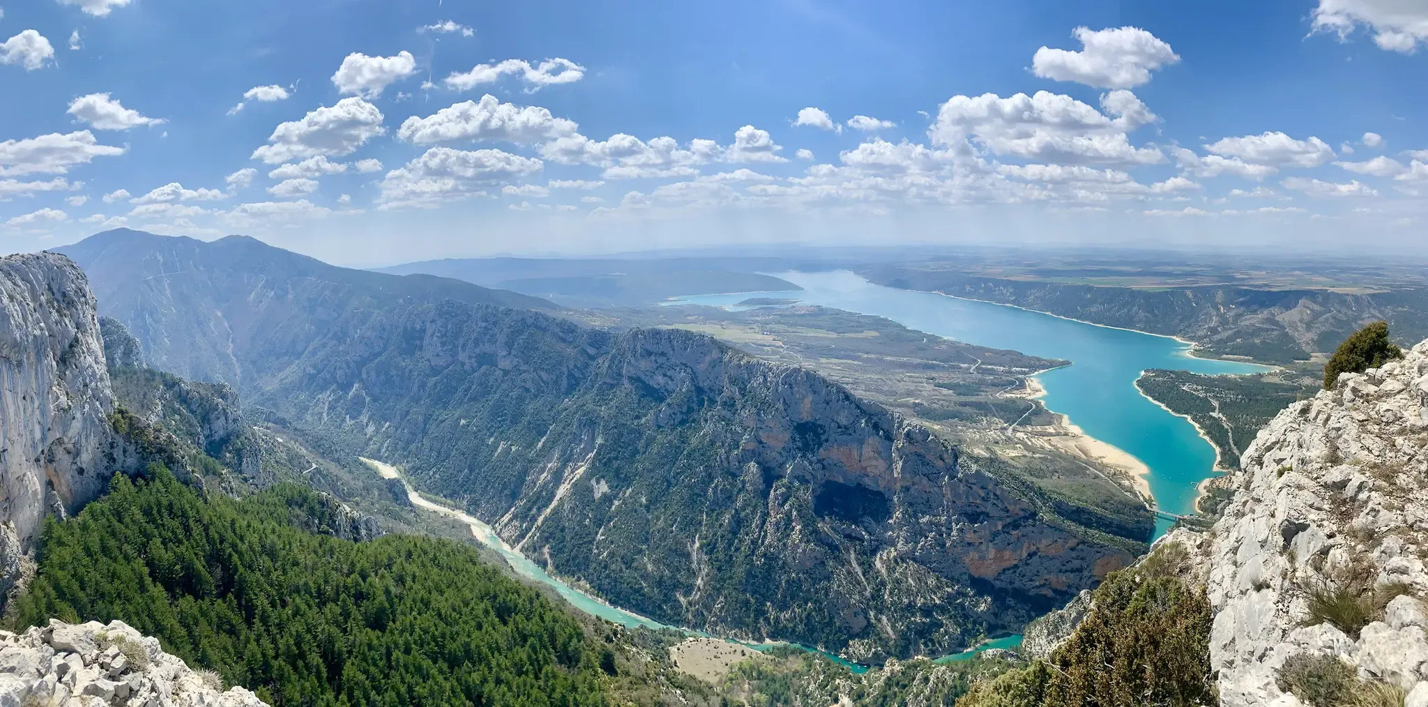
GR 4 – Crossing the south of France from Atlantic Coast to Provence

Alpine Passes Trail – hiking 700km across Switzerland

Hexatrek – The Cévennes to the Pyrenees between gorges and limestone plateau

11 Hessen trails – criss-cross through the countryside
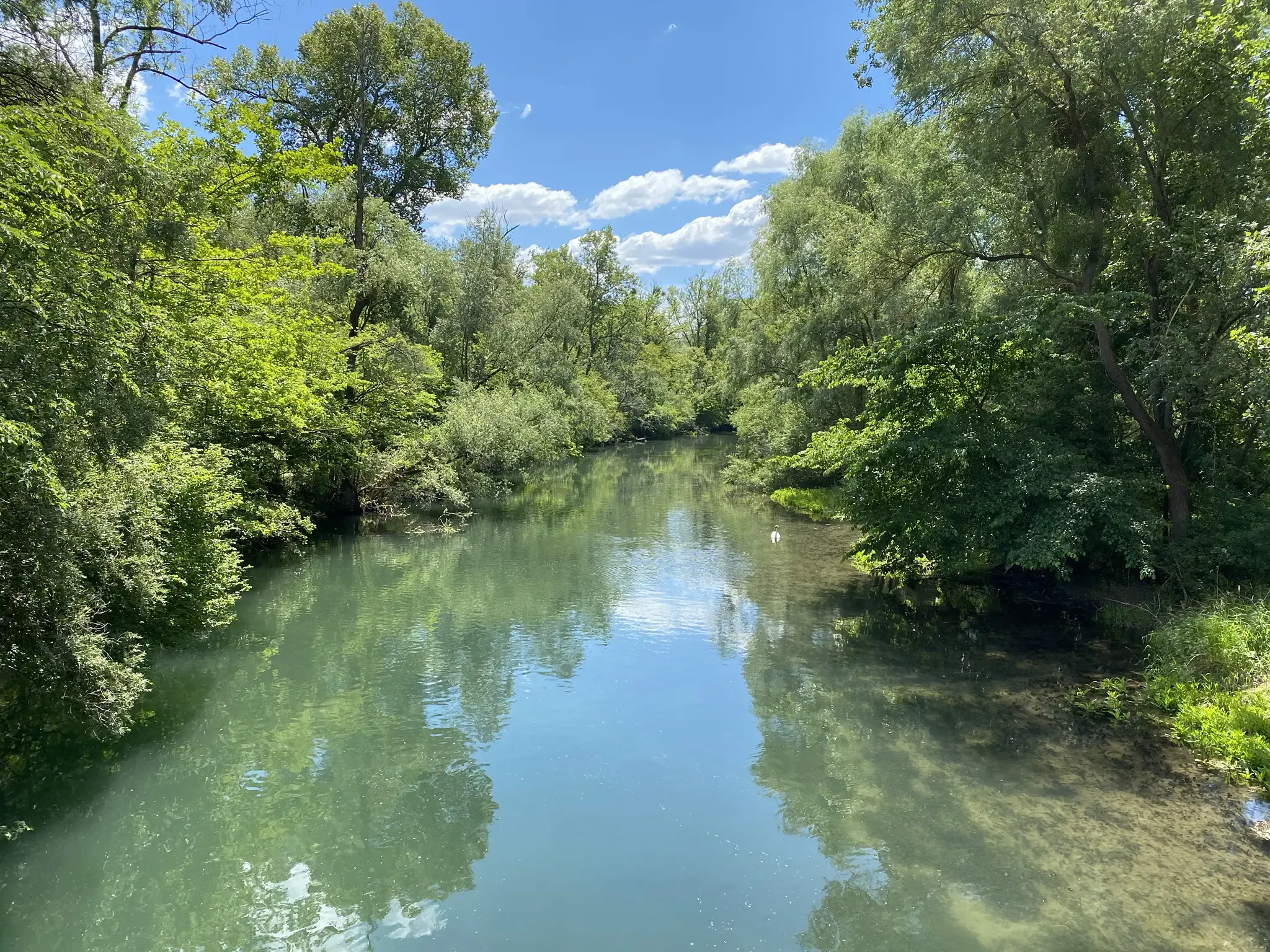
Rheinauenweg hiking path – Jungle tour for water rats
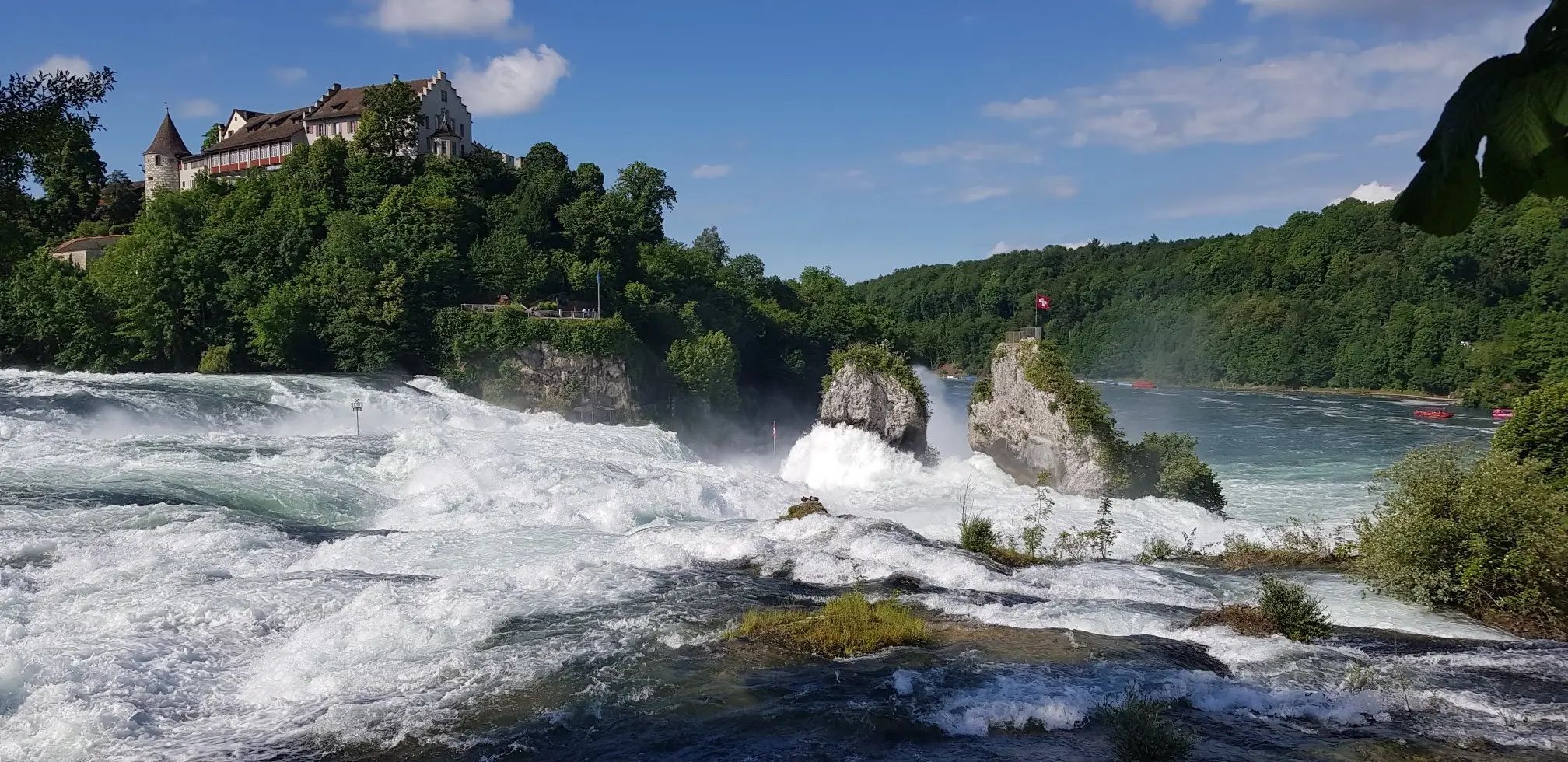
Hochrhein-Höhenweg – Forests and rivers from Germany to Switzerland
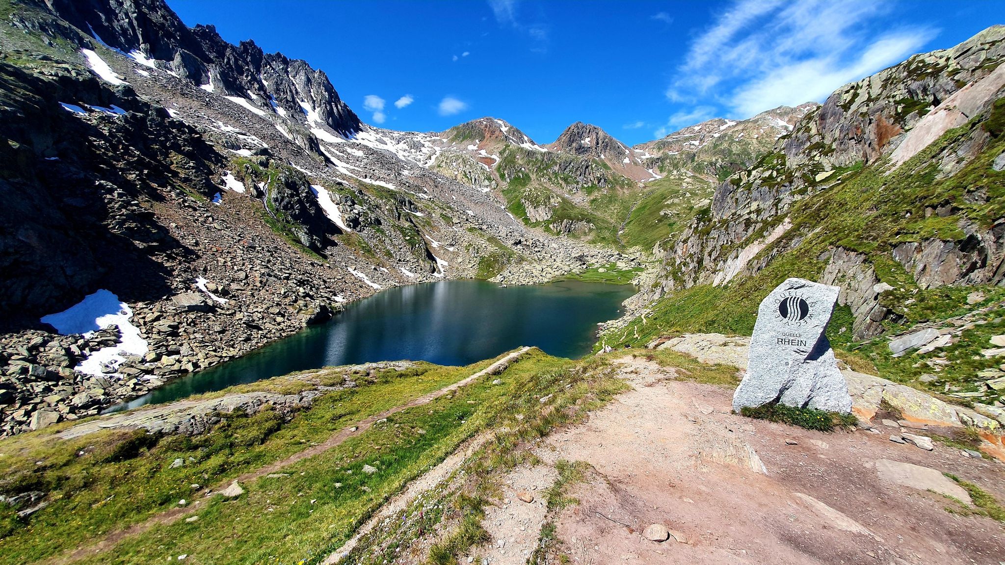
Four Springs Trail — Find flow in Switzerland's Gotthard Massif
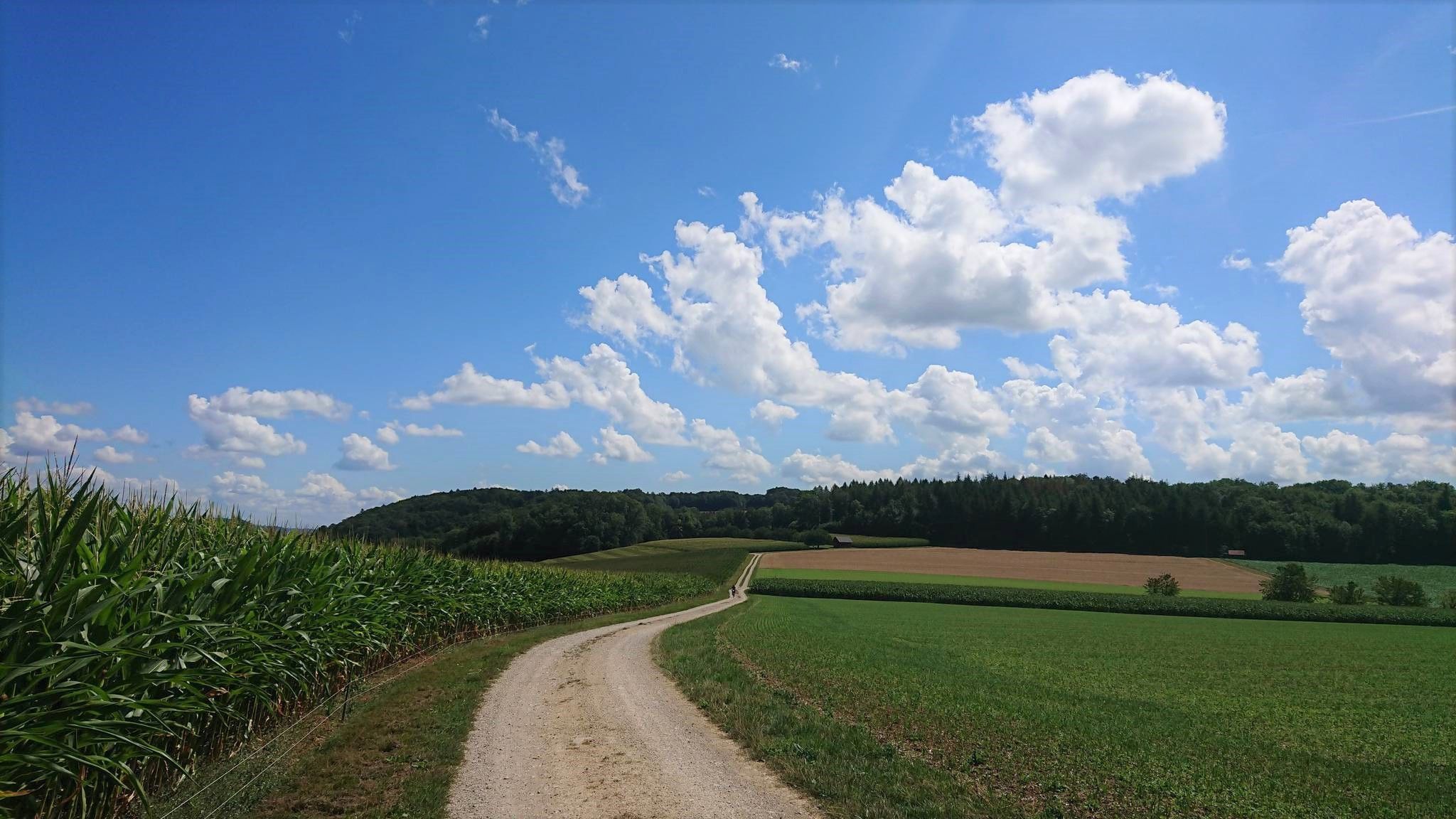
Fricktaler High Trail – Switzerland's green Frick Valley
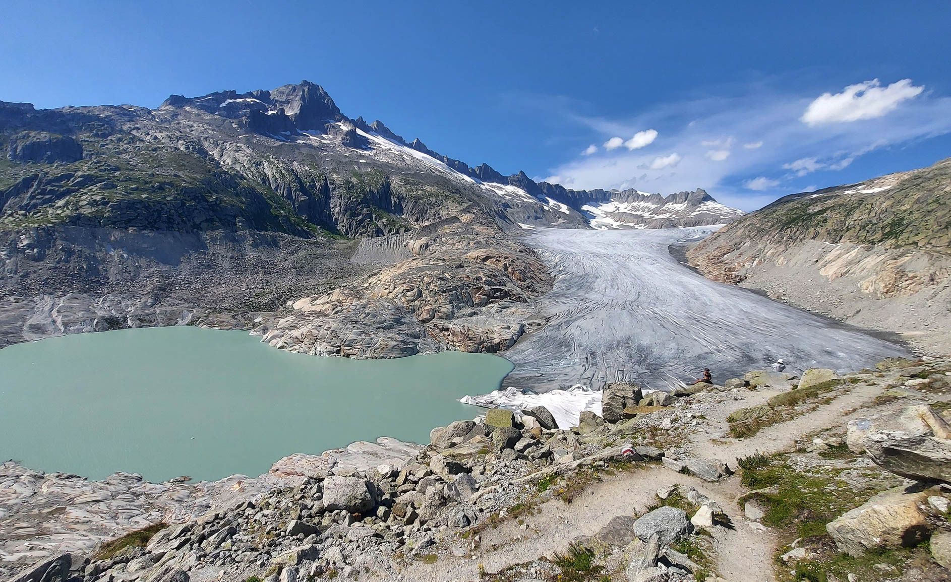
Switzerland's Furka High Trail – Two days of history and nature
Other adventures around the Rhone-Rharound thee Canal


Tips from the Community


The Appeldijk between Tricht and Mariënwaerdt is – especially during the blooming season – one of the most beautiful places in the municipality of Geldermalsen. For kilometers, the dike winds its way between rows of Goudreinet apple trees. Especially in April, people come from far and wide to the Betuwe to walk or cycle along this magnificent dike. Pedestrians and cyclists have ample space, as the dike is closed to cars. This sometimes causes so many people that real bicycle traffic jams arise. Along the beautiful river Linge, you walk towards an iconic spot in the Betuwe, the Appeldijk. For those who love blossoms and walking, this kilometer-long winding dike is a feast during the blooming months! It is largely closed to cars and motorcycles. Plenty of space to enjoy the many apple trees along the route. At the end, you have the choice to continue via the road or a forest path. If we may give you a tip: the forest path is wonderful. Both lead to the Heerlijkheid Mariënwaerdt estate. If you need a break, you can visit the farm shop here or find a spot on the terrace among the blossoming trees. Source: https://www.wandel.nl/routes/wandelroute-door-de-betuwe-de-bloesemroute/#Appeldijk
1
0

The Furka Pass is a 2,429 m high Swiss road pass in the Alps. It connects the Urseren Valley (the upper valley of the Reuss River) in the canton of Uri with the Goms district in the canton of Valais. It straddles the European watershed between the Mediterranean Sea and the North Sea. Source: Furka Pass – Wikipedia https://share.google/zJGI3KsPRtARfpYje
6
0

St. Gotthard Pass The Gotthard Pass divides waterways and connects various cultural and linguistic areas. Its significance as an "Alpine transversal" began at the beginning of the 13th century with the construction of the legendary Devil's Bridge in the Schöllenen Gorge. For many centuries, trade caravans (trading cattle and cheese for grain, wine, rice, and salt), mercenaries, messengers, and even entire armies crossed the pass. Between 1818 and 1836, the canton of Uri, with the help of other cantons, expanded the pass road, thus achieving its predominance among Swiss Alpine passes. The Gotthard Pass has significantly shaped the economy and culture of Central Switzerland for centuries. Until the opening of the Gotthard Railway in 1882, the Gotthard Pass was also used in winter. Dozens of roadmen and shovel workers were employed for this purpose. In 1922, the post bus replaced the stagecoach, and with the introduction of gasoline duties in 1923, the expansion of the pass roads began, continuing to this day. The old pass road on the south side, the Tremola between the top of the pass and Airolo, is still preserved and passable. This stretch of road recalls more tranquil journeys over the Gotthard that occurred not so long ago. In the 19th and 20th centuries, the Gotthard Pass was "condensed" into a myth, a symbol of Switzerland's independence, unity, and identity. Text / Source: Interest Group for Alpine Passes IAP, PO Box 11, 6491 Realp https://alpen-paesse.ch/de/alpenpaesse/gotthardpass
15
1

Beautifully landscaped paths
3
0


Frequently Asked Questions
How many gravel bike trails are available around the Rhone-Rhine Canal?
There are over 2,500 gravel bike routes available around the Rhone-Rhine Canal, catering to various skill levels from easy to difficult. You'll find a wide selection of paths to explore the region's diverse landscapes.
Are there gravel routes suitable for beginners or families?
Yes, the Rhone-Rhine Canal offers many routes suitable for beginners and families. Over 260 easy routes and more than 1,000 moderate routes are available. The canal's banks, part of the EuroVelo 6, often feature both paved and unpaved surfaces, providing accessible and enjoyable rides.
What kind of landscapes can I expect to see while gravel biking along the Rhone-Rhine Canal?
You can expect a diverse range of landscapes. The routes often follow the picturesque Doubs river valley, characterized by wooded and steep banks, cow pastures, cliffs, and high forests. Further upstream, the landscape opens up, offering views of the Jura mountains. You'll experience dynamic views as the canal and river sometimes merge.
What historical or cultural attractions can I visit along the gravel routes?
The region is rich in history. You can explore the historic town of Dole, with Louis Pasteur's birthplace and its Collegiate Church, or the charming port. Near Besançon, the UNESCO World Heritage-listed Citadel of Besançon offers dramatic views. Other highlights include the Romanesque Saint-Philibert church in Tournus and the Musée de la Batellerie in Saint-Jean-de-Losne, chronicling inland waterway transport.
Are there any notable natural features or viewpoints along the gravel trails?
Absolutely. You can enjoy panoramic views of the Doubs and Loue valleys, as well as the Jura mountains, from various points. The stunning underground river and columns of the Grotte d'Osselle in Saint-Vit are a unique natural attraction. Fortifications like the Fort de Planoise also offer superb viewpoints over Besançon and the Doubs valley.
What do other gravel bikers enjoy most about the Rhone-Rhine Canal trails?
The komoot community highly rates the gravel biking experience here, with an average score of 4.5 stars from over 5,400 reviews. Riders often praise the varied terrain, the blend of natural beauty with historical sites, and the well-maintained paths that offer both relaxed and challenging explorations.
Are there any challenging gravel routes for experienced riders?
Yes, for experienced riders seeking a challenge, there are over 1,100 difficult routes available. Trails like Gotthard, Furka and Nufenen Passes or High Route Mundaun offer significant elevation gains and longer distances, providing a demanding and rewarding experience.
Can I find any loop trails for gravel biking in the area?
Yes, many of the gravel routes around the Rhone-Rhine Canal are designed as loops, allowing you to start and end at the same point. An example is the Rhine and Lahn Valleys Loop from Koblenz, which takes you through scenic river valleys.
What are some good starting points for gravel cycling around the Rhone-Rhine Canal?
Popular starting points often include towns like Dole and Besançon, which offer good access to the canal paths and surrounding areas. Routes like From Basel to Baselland on a gravel bike suggest urban centers as convenient access points to the natural landscapes.
What is the best time of year for gravel biking in this region?
The Rhone-Rhine Canal region is enjoyable for gravel biking throughout much of the year. Spring and autumn offer pleasant temperatures and beautiful scenery, while summer can be ideal for longer days. Always check local weather conditions before heading out.
Are there opportunities for wildlife spotting along the trails?
Yes, the intimate connection with nature along the Doubs river valley provides excellent opportunities for wildlife spotting. Cyclists often report seeing various birds, such as herons and kingfishers, especially where the canal and river merge.
Are there any unique natural attractions like caves nearby?
Yes, the region boasts several interesting caves. The stunning underground river and columns of the Grotte d'Osselle in Saint-Vit are particularly notable. You can also explore other fascinating underground sites like the Enchanted Cave or the Five-Minute Cave.
Most popular routes around the Rhone-Rharound thee Canal
Most popular attractions around the Rhone-Rharound thee Canal

Get inspired with the komoot mobile app


Explore more
Browse the best Gravel rides in other regions.
