The best gravel rides around Kaiseraugst
4.4
(420)
2,367
riders
121
rides
Gravel biking around Kaiseraugst offers diverse landscapes, characterized by the High Rhine River, extensive forests, and agricultural lands. The region provides varied terrain, including natural roads and unpaved paths, suitable for gravel cycling. Topography includes gentle elevations and riverine plains, with some routes featuring passages with loose ground. The area also incorporates historical sites like Augusta Raurica, allowing for cultural stops during rides.
Best gravel bike trails around Kaiseraugst
- The most popular gravel bike trail is Fruit growing and Basler…
Last updated: October 6, 2026
4.9
(8)
45
riders
49.5km
04:12
990m
990m
Hard gravel ride. Very good fitness required. Mostly paved surfaces. Suitable for all skill levels.
5.0
(3)
19
riders
34.9km
02:10
430m
430m
Moderate gravel ride. Good fitness required. Mostly paved surfaces. Suitable for all skill levels.

4.0
(2)
10
riders
Moderate gravel ride. Good fitness required. Mostly paved surfaces. Suitable for all skill levels.
5.0
(1)
10
riders
40.0km
02:36
570m
570m
Hard gravel ride. Very good fitness required. You may need to push your bike for some segments of this route.
2.0
(1)
6
riders
16.0km
01:19
370m
370m
Moderate gravel ride. Good fitness required. Mostly paved surfaces. Suitable for all skill levels.
Get access to more routes and recommendations from other explorers.
Already have an account?
Our route recommendations are based on thousands of hikes, rides, and runs completed by other people on komoot.
Start today with a free account
Your next adventure awaits.
Tips from the Community

The water tower is one of the city's landmarks. The 35-meter-high tower was built between 1898 and 1899 and was in operation until 1971. In the 1980s, the tower was renovated and has been used by the Fools' Museum since 1993.
0
0

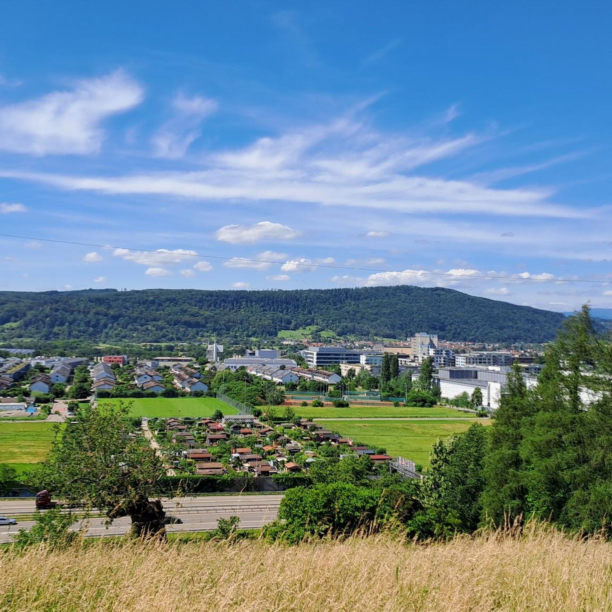
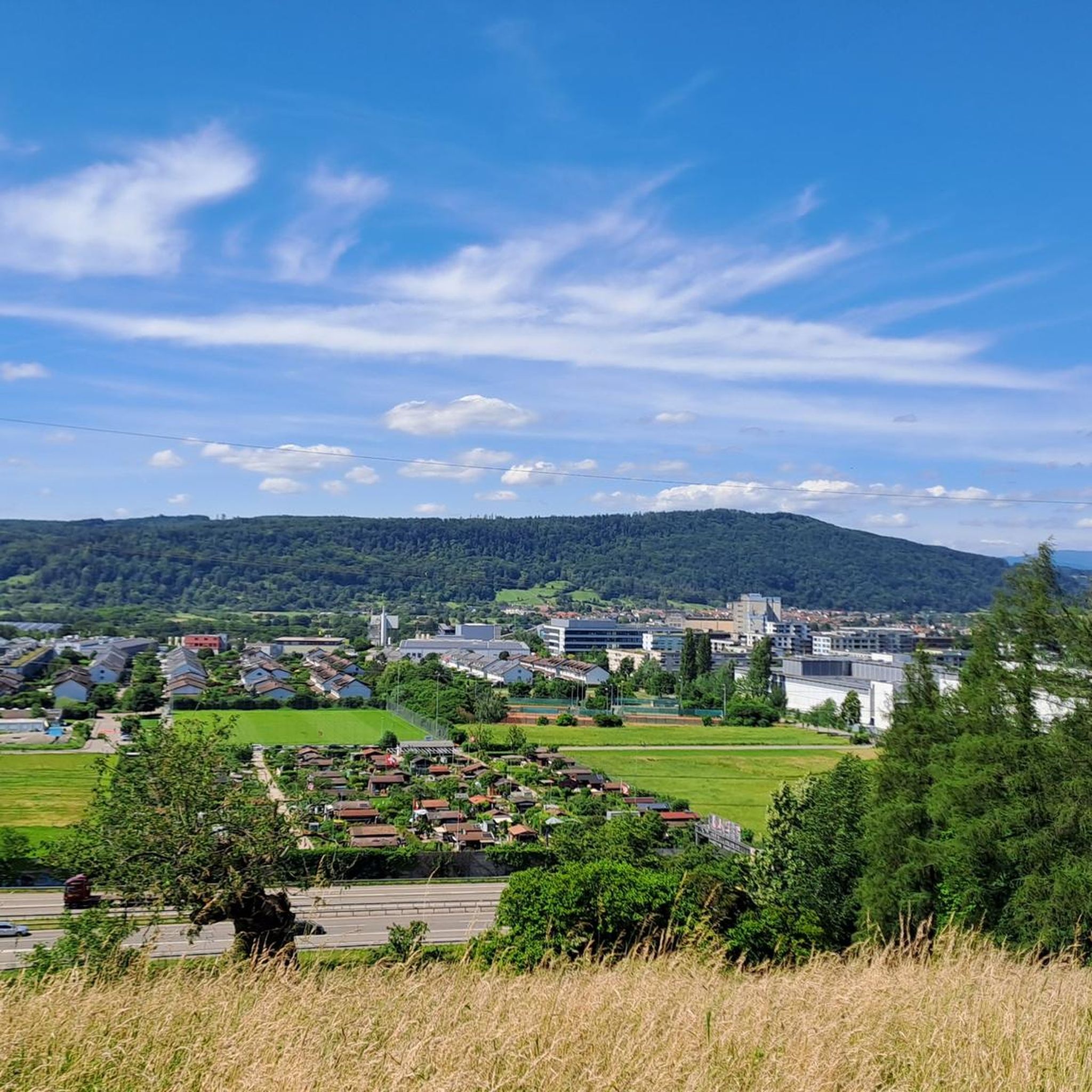
Super beautiful view (Black Forest, Vosges etc.)
0
0
Beautiful view (in good weather ;-))
0
0

The Dinkelberg trails are simply beautiful!
0
0

Beautiful trail on the ascent to Sinnenberg
2
0

Old boundary line where the old "borders" of Inzlingen, Lörrach, Stetten, Hagenbach, Adelhausen, Ottwangen and Brombach met.
0
0

The Hohe-Flum Tower stands on the highest elevation of the Dinkelberg, at 535 meters above sea level. The 13.5-meter-high tower was built in 1874. 62 steps lead up to the platform. From there, you have a magnificent panoramic view in all directions. To the south, you can see the Swiss Jura Plateau and, in good weather, the Alps beyond. To the west, the view extends to the Vosges mountains and to the north and east to the Black Forest. With views of the Entegast, Zeller Blauen, Hohe Möhr, etc.
5
0

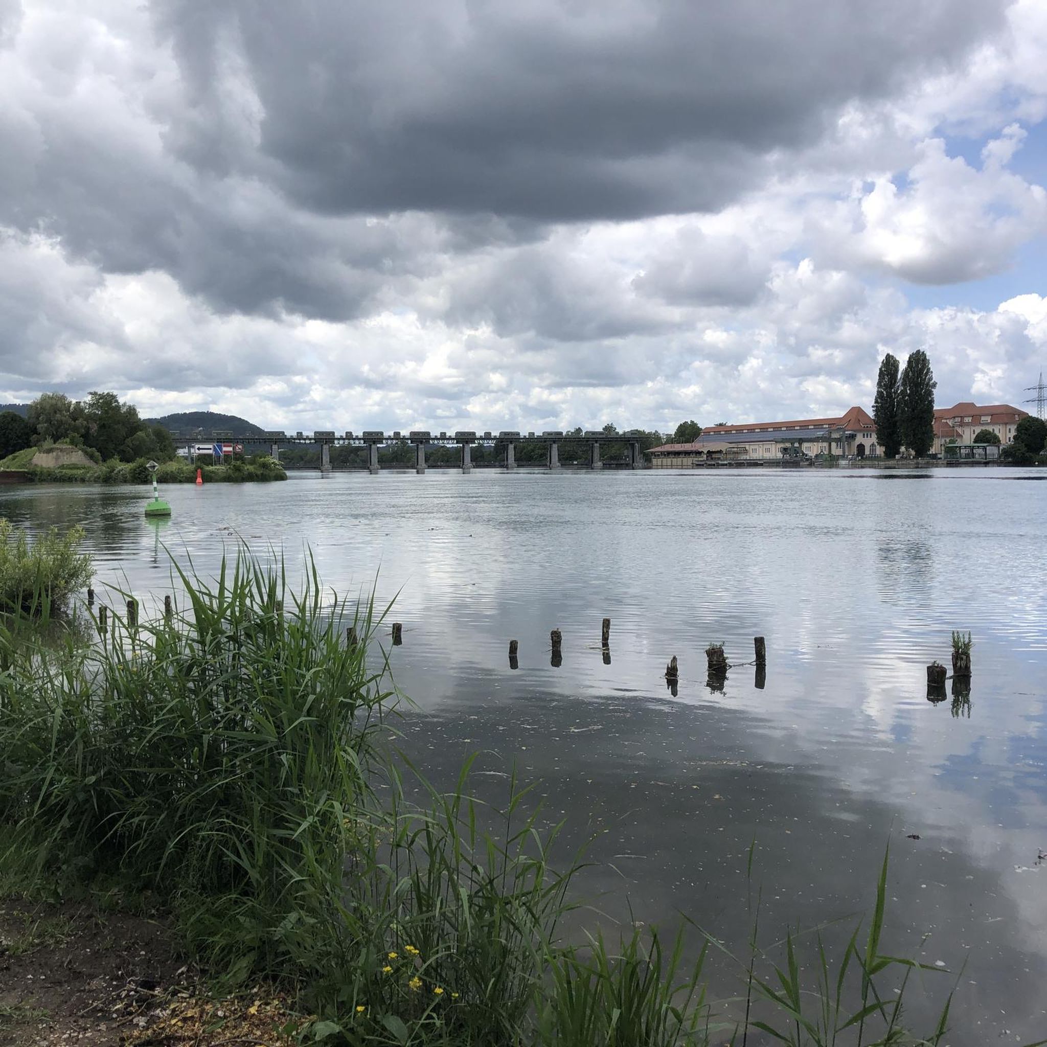
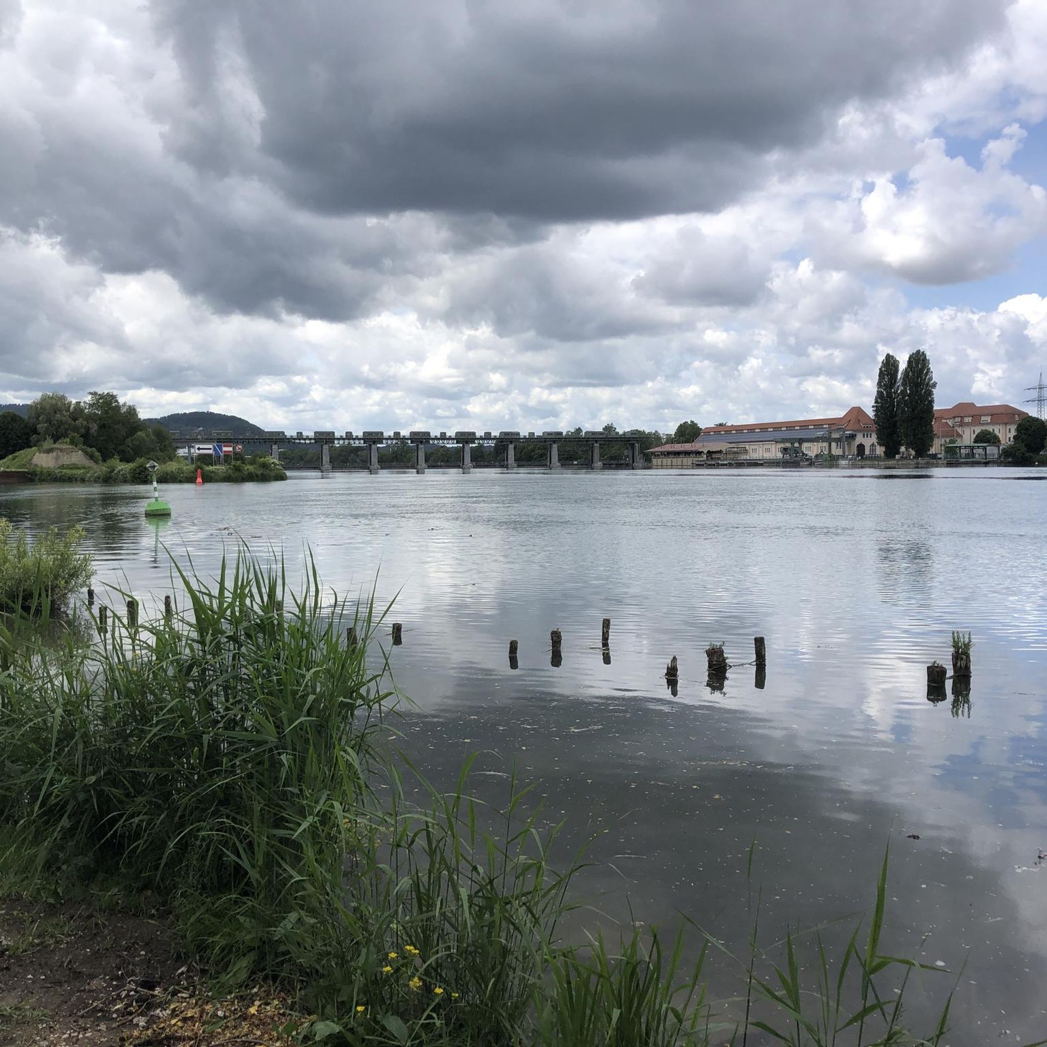
The Riburg Saltworks in Rheinfelden began operations in 1848. Its 32 employees specialize in the production of loose salt, primarily used as de-icing salt. This requires highly efficient distribution logistics, especially in winter; around 1,100 tons of salt are produced daily, and at peak times, up to 8,000 tons of salt are loaded. Some of this is transported by rail. This is a tradition at the Riburg Saltworks: The production facility has been connected to the railway network since 1875, when the Bözberg railway line was put into operation. To store the salt, the Riburg Saltworks has two gigantic wooden dome structures, unique in Switzerland: Salt Domes I and II. Together with the conventional storage halls, the two salt domes offer space for over 240,000 tons of salt. This would ensure Switzerland's unrestricted supply of de-icing salt even after twelve consecutive weeks of extreme winter (source: Saline.ch).
5
0
Frequently Asked Questions
How many gravel bike trails are available around Kaiseraugst?
There are over 200 gravel bike routes available around Kaiseraugst, offering a wide range of options for different skill levels and preferences. The komoot community has explored these trails over 2000 times.
What kind of terrain can I expect on gravel bike routes near Kaiseraugst?
The terrain around Kaiseraugst is diverse, featuring a mix of natural roads, unpaved paths, and some asphalt sections. You'll encounter routes along the High Rhine River, through shaded forests (which cover about 32% of the area), and across agricultural lands. Some routes, like the 51 km trail towards Neuenburg am Rhein, can include significant percentages of gravel and loose gravel surfaces.
Are there any historical sites or landmarks to see along the gravel bike trails in Kaiseraugst?
Yes, Kaiseraugst is rich in history. Many routes pass by the ancient Roman city of Augusta Raurica, where you can explore the impressive remains of a late-Roman fort, Castrum Rauracense, and even a Roman amphitheater. The nearby town of Rheinfelden also features the historic Old Rhine Bridge. For specific points of interest, consider visiting the Farnsburg Castle Ruins or the St. Chrischona Church.
Can I find scenic viewpoints on the gravel bike routes around Kaiseraugst?
Absolutely. Many routes offer picturesque views, especially those following the Rhine River. You can also find routes with expansive views of the Jura Hills. For dedicated viewpoints, consider visiting the Eigenturm Observation Tower or the Schleifenberg Tower, both accessible from some of the trails.
What do other gravel bikers enjoy most about the trails in Kaiseraugst?
The gravel biking routes in Kaiseraugst are highly rated by the komoot community, with an average score of 4.4 stars. Reviewers often praise the varied terrain, the scenic views along the Rhine, and the opportunity to combine natural beauty with historical exploration.
Are there beginner-friendly gravel bike routes in Kaiseraugst?
Yes, Kaiseraugst offers several routes suitable for beginners. While many routes are classified as moderate, there are at least 4 routes specifically categorized as easy, providing a gentler introduction to gravel biking in the region. These often follow riverside paths with less elevation gain.
What are some options for more advanced gravel biking in the area?
For more experienced gravel bikers seeking a challenge, there are 129 routes classified as difficult. These routes typically feature greater elevation gain and more technical sections. An example is the View of the Jura Hills – Feldschlösschen Brewery loop from Kaiseraugst, which is 34.4 km long with significant elevation changes.
Are there any longer gravel bike routes for extended rides?
Yes, you can find longer routes for extended gravel biking. For instance, the Oberer Rheinweg Promenade – Rhine riverbank in Basel loop from Augarten is a 43.4 km trail that takes nearly 3 hours to complete, offering a substantial ride along the Rhine.
Are there family-friendly gravel bike routes in Kaiseraugst?
While specific 'family-friendly' designations are not always explicit, routes along the Rhine riverbank or through agricultural lands with less elevation are generally suitable for families. Look for routes categorized as 'easy' or 'moderate' with smooth, unpaved sections.
Can I access the gravel bike trails in Kaiseraugst using public transport?
Kaiseraugst is well-connected within the Basel metropolitan region. You can typically reach Kaiseraugst by train, and many routes start directly from the village, making public transport a viable option for accessing the trails. Check local transport schedules for specific connections.
Are there options for parking when accessing gravel bike trails in Kaiseraugst?
Yes, Kaiseraugst and surrounding towns usually offer public parking facilities. When planning your ride, it's advisable to check for parking availability near your chosen starting point, especially in the village center or near major trailheads.
Are there places to stop for refreshments or accommodation near the gravel bike trails?
Yes, the region around Kaiseraugst, including Swiss and German villages along the Rhine, offers various cafes, pubs, and restaurants for refreshments. You'll also find accommodation options in Kaiseraugst, Rheinfelden, and other nearby towns, making it easy to plan multi-day trips or enjoy a post-ride meal.
What is the best time of year for gravel biking in Kaiseraugst?
The spring, summer, and early autumn months generally offer the best conditions for gravel biking in Kaiseraugst, with pleasant temperatures and less precipitation. The diverse landscapes, including forests and riverside paths, provide enjoyable riding experiences throughout these seasons.
Most popular routes around Kaiseraugst
Most popular attractions around Kaiseraugst

Get inspired with the komoot mobile app


Explore more
Browse the best Gravel rides in other regions.
